The best running trails around Ur
4.5
(88)
7,287
runners
13
runs
Jogging routes around Ur traverse a landscape characterized by gentle hills and open terrain, often featuring paths connecting local towns and villages. The region includes several ponds and small lakes, providing scenic backdrops for running. Elevation changes are generally moderate, making the area accessible for various fitness levels. These routes offer a blend of natural scenery and cultural points of interest.
Best jogging routes around Ur
- The most popular jogging route is Torniquet Lake – Pond in Parque Cordomí loop…
Last updated: October 23, 2026
57
runners
7.86km
00:52
50m
50m
Moderate run. Good fitness required. Mostly paved surfaces.
3.0
(2)
41
runners
6.02km
00:38
60m
50m
Moderate run. Good fitness required. Mostly paved surfaces.

27
runners
11.1km
01:16
210m
210m
Moderate run. Good fitness required. Mostly paved surfaces.
4.0
(1)
36
runners
8.25km
00:53
70m
70m
Moderate run. Good fitness required. Mostly paved surfaces.
13
runners
4.57km
00:54
430m
430m
Hard run. Very good fitness required. Mostly paved surfaces.
Get access to more routes and recommendations from other explorers.
Already have an account?
Our route recommendations are based on thousands of hikes, rides, and runs completed by other people on komoot.
Start today with a free account
Your next adventure awaits.
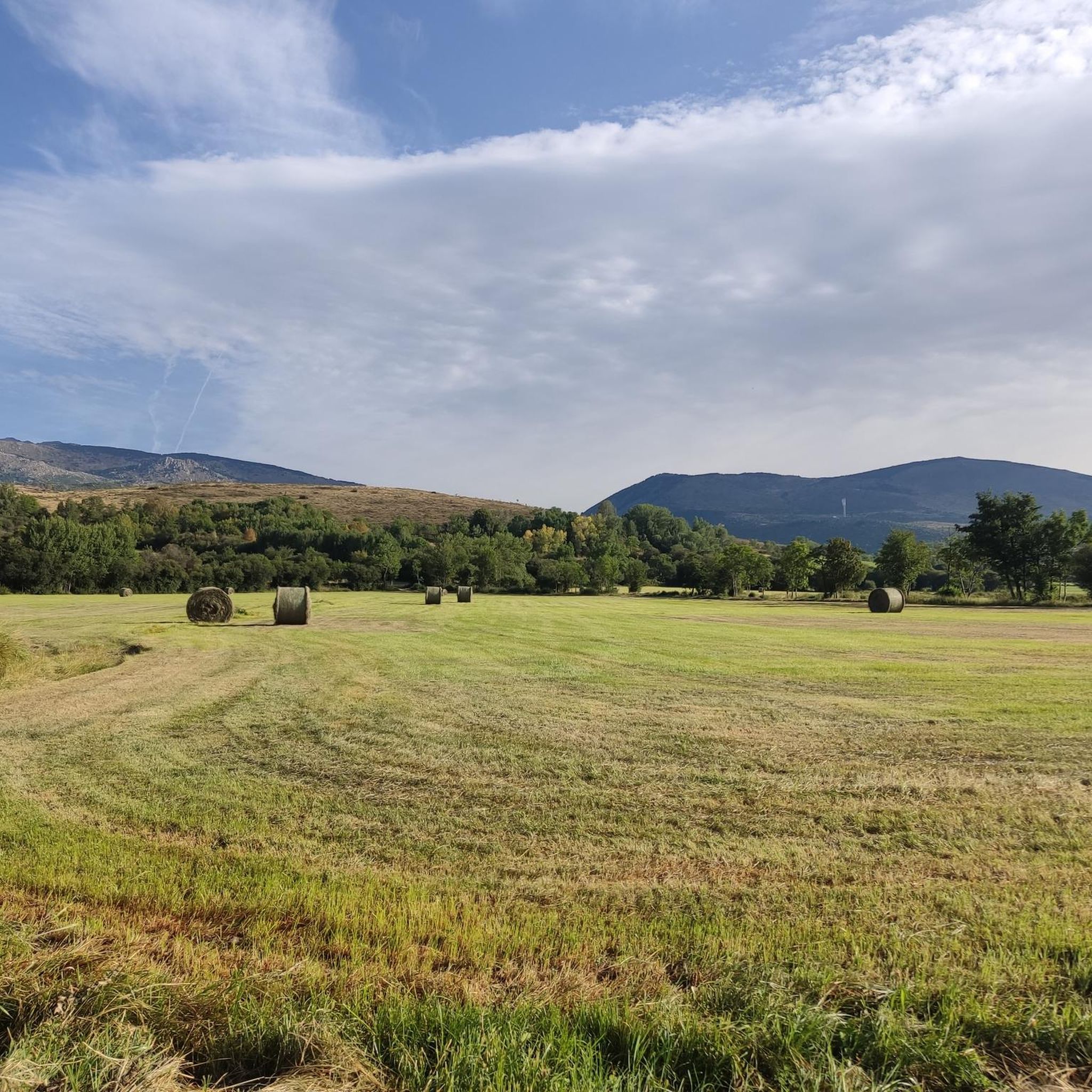
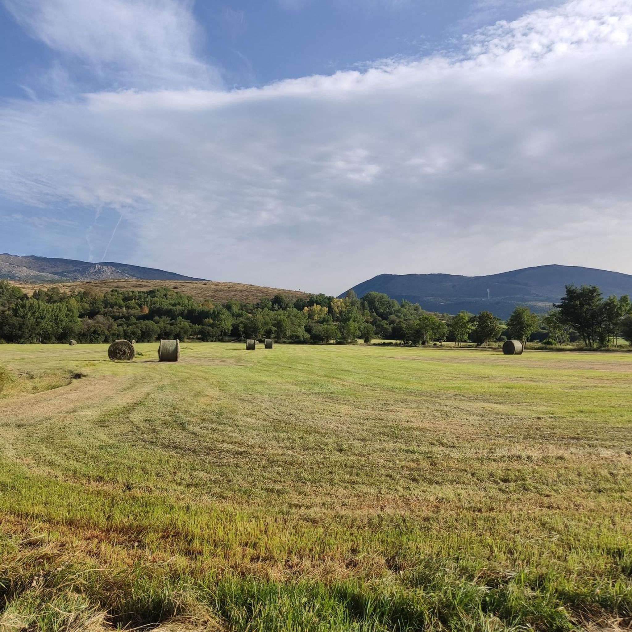


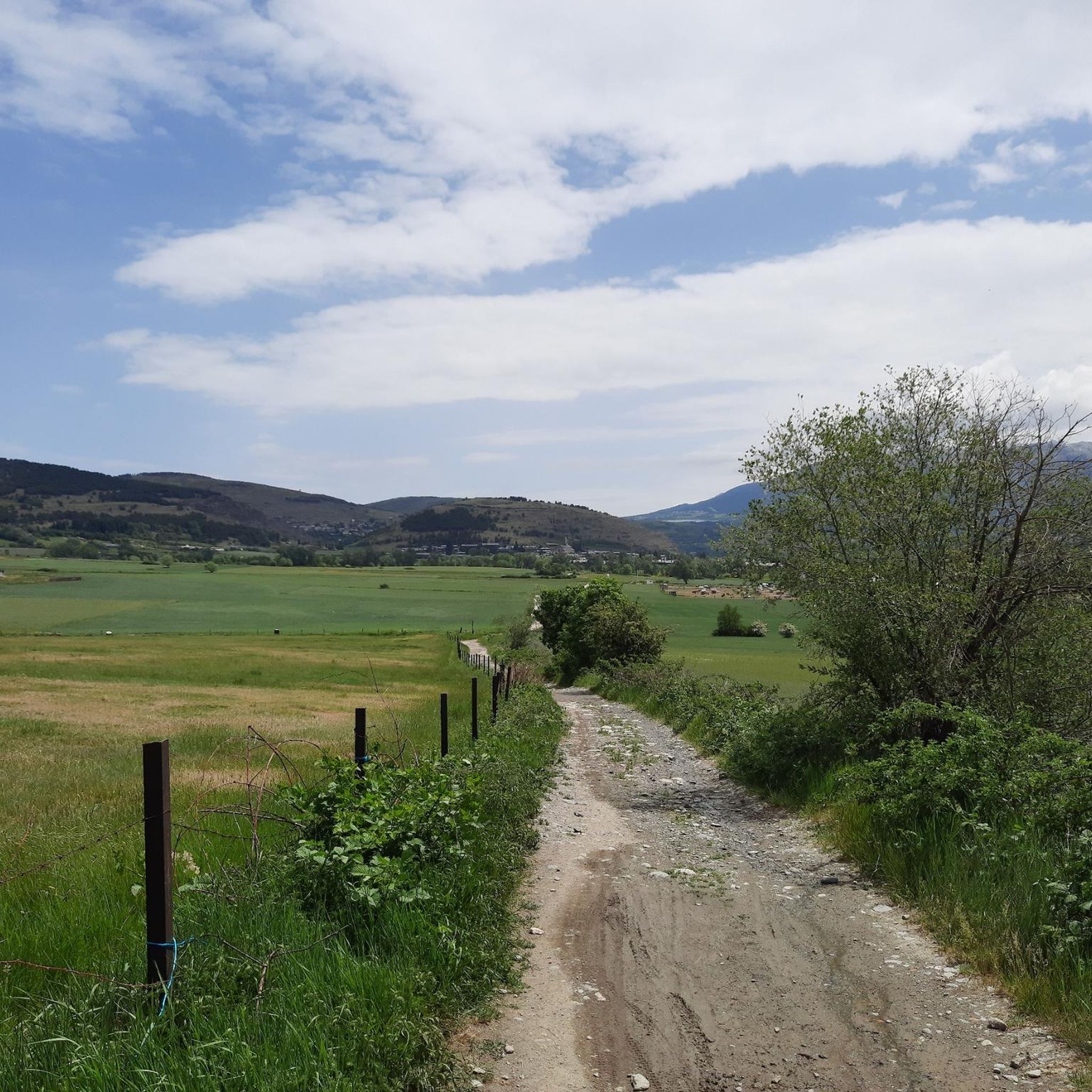
Tips from the Community

A beautiful Spanish exclave that is worth a visit.
1
0


Llívia is a municipality located in the Cerdanya region. Geographically it is located in the French state, as a consequence of the Treaty of the Pyrenees of 1659. Located at 1223 meters above sea level, it is crossed by the Segre River. It is the oldest human group in Cerdanya, dating back to the end of the Bronze Age. It was colonized by the Romans at the end of the 1st century BC and due to its particular geographical location, it is right at the most comfortable pass in the Pyrenees, it has had an uninterrupted human presence throughout history, seeing the Visigoth domination pass, Muslim and again Christian.
2
0

Worth seeing small Spanish place surrounded by French villages. Interesting story why this stayed Spain. More information: https://de.wikipedia.org/wiki/Ll%C3%ADvia?wprov=sfla1
6
0

Mountain paths of medium difficulty. There is some ascent but it can be done with a moderate effort.
2
0

If the day is good, it is one of the beautiful views that we can have in the Brangoly and Dorres area, especially the Puigmal. In Bell-lloc you can find access from the two towns mentioned, it is an easy route to do on foot and a little technical to do it running. Perfect to do with the family.
0
0

Puigcerdà pond is an artificial pond located in the northwest part of the town of Puigcerdà. The first news of the existence of this pond date from the 13th century, specifically from 2 December 1260, as described by priest Jaume Martí i Sanjaume in his book Dietari de Puigcerdà. The lake's water supply comes from the Querol river which is brought to Puigcerdà by means of an artificial drain. https://ca.wikipedia.org/wiki/Estany_de_Puigcerd%C3%A0
0
0

360 ° view of the lower Cerdanya,
0
0
Frequently Asked Questions
How many running routes are available around Ur?
Ur offers a wide variety of running options, with over 330 routes available. These include 24 easy routes, 191 moderate trails, and 121 more challenging paths, catering to all fitness levels.
Are there any easy jogging routes suitable for beginners in Ur?
Yes, Ur has 24 easy jogging routes perfect for beginners or those looking for a relaxed run. These trails typically feature gentle elevation changes and well-maintained paths, often connecting local towns and villages.
What kind of terrain can I expect on jogging trails in Ur?
The jogging routes around Ur traverse a landscape characterized by gentle hills and open terrain. You'll often find paths connecting local towns and villages, with several scenic ponds and small lakes providing beautiful backdrops. Elevation changes are generally moderate, making the area accessible for various fitness levels.
Are there any circular jogging trails in Ur?
Many of the jogging routes in Ur are circular, offering convenient loop options. For example, the Puigcerdà Pond loop from Puigcerdà is a great option for a scenic circular run around the pond.
What do other runners enjoy most about jogging in Ur?
The running routes in Ur are highly rated by the komoot community, with an average score of 4.5 stars from over 70 reviews. Runners often praise the blend of natural scenery, the charming paths connecting towns like Llívia and Ur, and the variety of options available for different abilities.
Are there any jogging routes that pass by interesting landmarks or natural sights?
Yes, several routes offer views of local attractions. For instance, you might encounter natural monuments like the Waterfall of the Montmelús Stream or historical sites such as the Dolmen de Brangolí. The region also features charming settlements like Llívia, which can be part of your running experience.
What is a good moderate-difficulty running route in Ur?
A popular moderate option is the Path from Llívia to Ur – Ruins of Llívia Castle loop from Ur-les-Escaldes. This 6.8-mile (11.0 km) trail offers a good workout with some elevation gain and takes you past historical points of interest.
Are the jogging routes in Ur suitable for running with dogs?
While specific regulations can vary, many of the open countryside paths and trails connecting towns in Ur are generally suitable for running with dogs, provided they are kept under control. It's always recommended to check local signage and be mindful of livestock or other trail users.
What are the typical lengths of jogging trails around Ur?
The lengths of jogging trails in Ur vary significantly. You can find shorter loops, like the 3.7-mile (6.0 km) Path from Llívia to Ur loop from Ur, or longer routes such as the 6.8-mile (11.0 km) Path from Llívia to Ur – Ruins of Llívia Castle loop from Ur-les-Escaldes, offering options for different training goals.
Are there any routes with significant elevation for advanced runners?
Yes, Ur offers 121 difficult routes with more significant elevation changes for advanced runners seeking a challenge. These trails often lead into hillier terrain, providing a more intense workout and rewarding views.
Is parking generally available near the starting points of jogging routes in Ur?
While not explicitly detailed for every route, as Ur's routes often connect towns and villages, parking is typically available in or near these settlements. It's advisable to check specific starting points for designated parking areas or street parking availability.
Most popular attractions around Ur

Get inspired with the komoot mobile app


Explore more
Browse the best Running Trails & Routes in other regions.
