The 7 Most Amazing Peaks around Saint-Zacharie
Best mountain peaks around Saint-Zacharie are characterized by a hilly landscape, offering elevated terrain suitable for hiking and scenic views. The municipality, located in the MRC des Etchemins in Quebec, features a maximum elevation of 642 meters. The broader region, part of the Appalachian plateau, includes hills that provide various hiking opportunities. These areas allow for exploration of the natural environment of the Chaudière-Appalaches region.
Best mountain peaks around Saint-Zacharie
- The most popular mountain peaks is Saint-Pilon Chapel, a…
Last updated: July 13, 2026
Saint-Pilon Chapel
Highlight • Historical Site
Translated by Google •
Tip by

Bertagne Peak
Highlight • Natural Monument
Translated by Google •
Tip by

Sign up now to discover places like this
Get recommendations on the best single tracks, peaks, & plenty of other exciting outdoor places.
Sign up for free
View of the Sainte-Baume Massif
Highlight • Viewpoint
Translated by Google •
Tip by

Eagle's Yoke
Highlight • Summit
Translated by Google •
Tip by

Mount Cruvelier
Highlight • Summit
Translated by Google •
Tip by

Sign up for free to discover even more peaks around Saint-Zacharie.
Sign up for free
Already have an account?
Start today with a free account
Your next adventure awaits.
Login or Signup
Other adventures around Saint-Zacharie

Tips from the Community


The fork that leads from the Pic de l'Aigle to the hotel is dangerous in some places with steep passages requiring you to descend for about fifteen meters. Passages not recommended (black markings).
3
0

If you still have the courage to go up there!..
0
0

very steep climb before reaching the plateau, had to walk it
0
0

Superb 360° panoramas of the mountains and the sea.
0
0

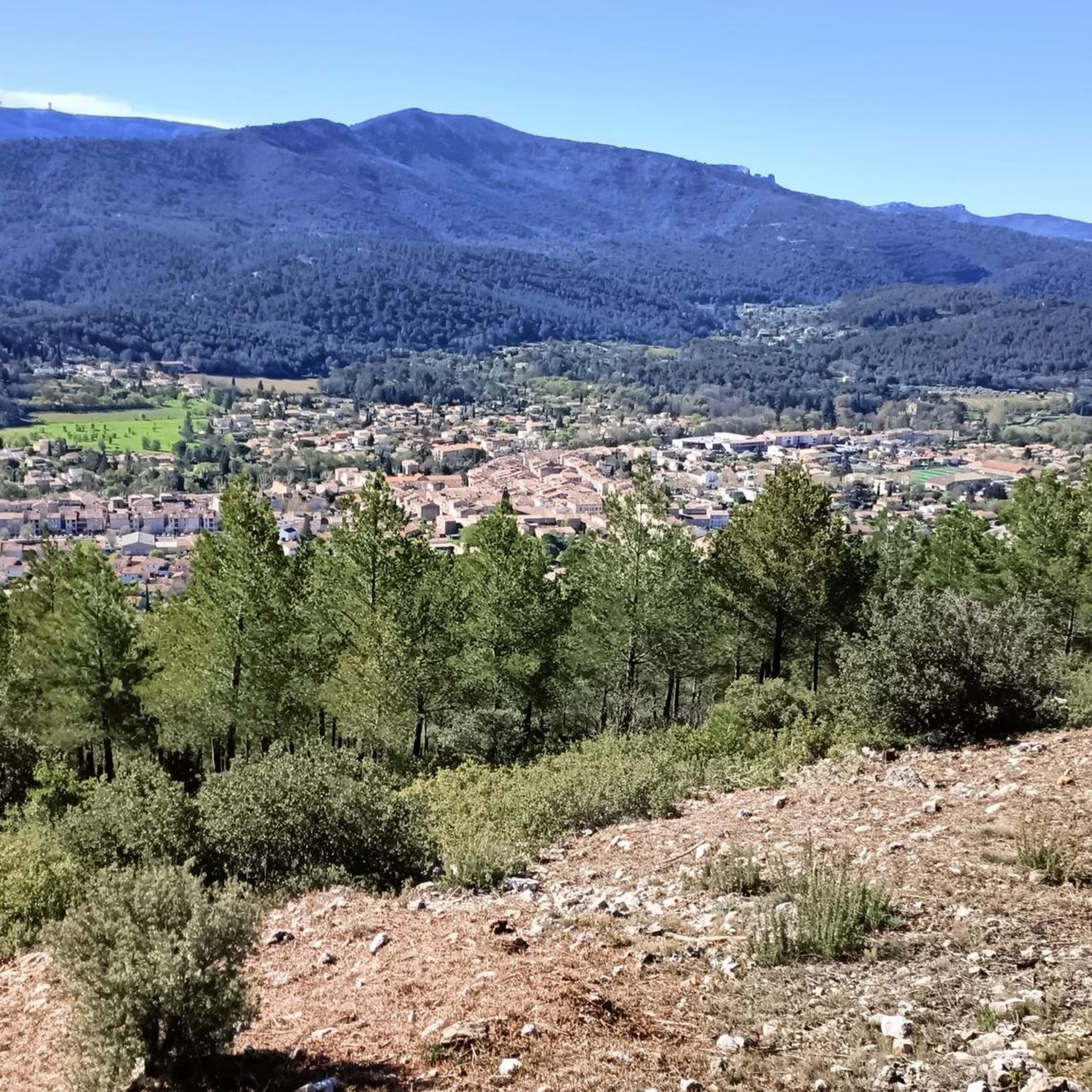
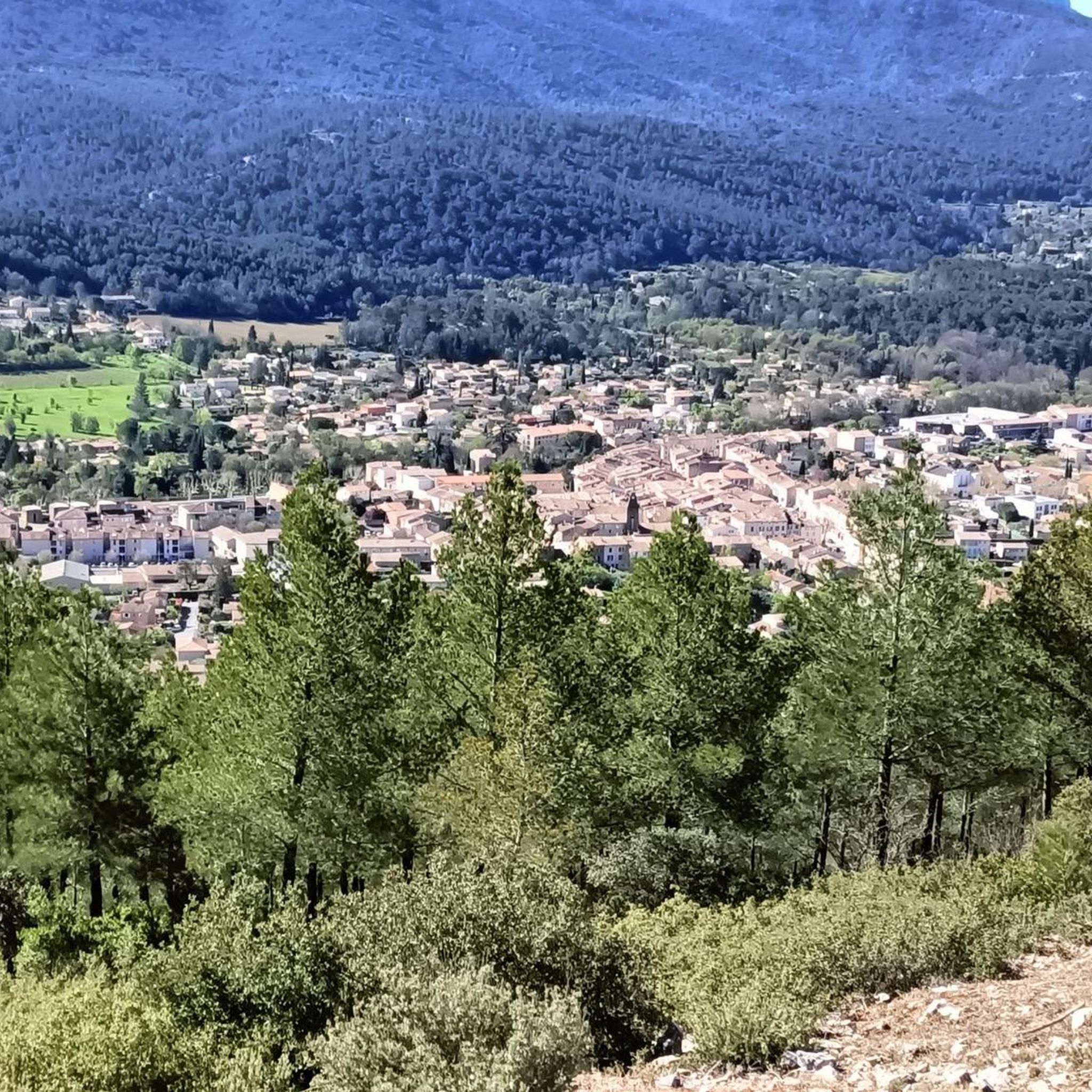
When you turn around, you discover this splendid view of Sainte-Baume. On your left, a large building. This is the former monastery of the Dominican fathers who continue to care for the site. On site, you will find a snack bar and toilets.
1
0

The highest peak in the Bouches-du-Rhone: inevitably unmissable with its splendid view!
1
0

The hike to the Grotte Sainte-Marie-Madeleine is a highlight in this area. Anyone who has managed the climb to the grotto should definitely continue up to the Chapelle du Saint-Pilon via the "conditionally well-developed" path with lots of steps and stones. At the top you will be rewarded with a wonderful and (almost) panoramic view and the chapel, which invites you to take a break.
1
0
Frequently Asked Questions
What are some of the most notable elevated points to explore around Saint-Zacharie?
While Saint-Zacharie is characterized by a hilly landscape rather than towering peaks, the region offers several prominent elevated points. Among them are Saint-Pilon Chapel, a historical site at 994 meters offering panoramic views, and Bertagne Peak, a natural monument standing at 1013 meters with extensive views towards Marseille and the Calanques. Another popular spot is Mount Cruvelier, known for its fantastic 360° views.
Are there any historical or religious sites among the elevated areas near Saint-Zacharie?
Yes, the region features significant historical and religious sites. The Saint-Pilon Chapel is a historical site and a popular stopover for hikers and pilgrims, located above the Sainte-Baume cave. Additionally, the View of the Sainte-Baume Massif offers insights into the Cave of Sainte-Baume, a place of worship and pilgrimage since the 5th century, said to have offered refuge to Saint Mary Magdalene.
What kind of views can I expect from the elevated points in the Saint-Zacharie area?
The elevated points around Saint-Zacharie offer diverse and rewarding views. From Saint-Pilon Chapel, you can enjoy a wide panoramic vista. Bertagne Peak provides views towards Marseille, La Ciotat, and the Calanques. For a superb 360° panorama of the surrounding hills and the harbor of Marseille, Mount Cruvelier is highly recommended. The View of the Sainte-Baume Massif also offers splendid views of the massif itself and sometimes the sea.
What is the highest point in the broader region around Saint-Zacharie?
While Saint-Zacharie itself has a maximum elevation of 642 meters, the broader Les Etchemins MRC, where Saint-Zacharie is situated, features higher points. The highest point in the MRC des Etchemins is approximately 910 meters (2,986 feet), located in the Massif du Sud sector. Within the highlights mentioned, Bertagne Peak reaches 1013 meters and Saint-Pilon Chapel is at 994 meters, both offering significant elevation.
What outdoor activities are available near the elevated areas of Saint-Zacharie?
The hilly terrain around Saint-Zacharie is ideal for various outdoor activities. You can find numerous routes for mountain biking, gravel biking, and road cycling. For mountain biking, explore trails like the 'Fording – The Huveaune Trail loop' or 'The Nayes Springs loop' as detailed in the MTB Trails around Saint-Zacharie guide. Gravel biking enthusiasts can check out routes such as the 'Beautiful road – la coutronne loop' in the Gravel biking around Saint-Zacharie guide. For road cycling, options like the 'Hostellerie Sainte Baume loop' are available in the Cycling around Saint-Zacharie guide.
Are there specific hiking trails recommended for exploring the hills around Saint-Zacharie?
Yes, the region offers various hiking opportunities through its hilly terrain. While not always leading to named mountain peaks, trails like the 'Source of the Huveaune – Source loop' and the 'Castelette Cave – Source of the Huveaune loop' are noted for their accessibility and provide chances to explore the natural environment. These trails cater to different fitness levels, with some taking up to 5 hours and involving significant elevation gains.
What is the difficulty level of hiking to these elevated points?
The difficulty varies depending on the specific route. For instance, the path to Saint-Pilon Chapel can be challenging, especially the ascent from the Sainte-Baume cave with many steps and stones. Bertagne Peak is considered intermediate, with options for an easy tarred military road or more strenuous trails. The climb to Mount Cruvelier from Gémenos is described as long but steady and not overly difficult. The route to Eagle's Yoke includes dangerous, steep passages not recommended for everyone.
What natural features can I discover in the Saint-Zacharie region?
The Saint-Zacharie region, part of the Appalachian plateau, is rich in natural features. You'll find extensive forests, particularly around the Sainte-Baume Massif. The landscape is characterized by significant hills and elevated areas that provide a beautiful natural backdrop for outdoor activities. The area also features prominent natural monuments like Bertagne Peak.
Are there family-friendly hiking options around Saint-Zacharie?
Yes, the region offers various hiking opportunities suitable for different fitness levels, including options that can be enjoyed by families. While specific 'family-friendly' categories aren't listed for all highlights, the general description of the area's trails suggests accessibility for walks and moderate hikes. It's advisable to check individual trail descriptions for length and elevation gain to ensure they match your family's capabilities.
What do visitors enjoy most about the elevated areas near Saint-Zacharie?
Visitors particularly appreciate the exceptional panoramic views and the sense of accomplishment from reaching the summits. The historical and religious significance of sites like Saint-Pilon Chapel and the Sainte-Baume cave also draw many. The opportunity for challenging hikes, such as the ascent to Eagle's Yoke, and the rewarding 360° vistas from spots like Mount Cruvelier are frequently highlighted by the komoot community.
Is there parking available near the trailheads for these elevated points?
While specific parking details for every trailhead are not provided, it is generally understood that popular hiking areas like those around Saint-Zacharie will have designated parking. For instance, access to prominent sites like Saint-Pilon Chapel and the Sainte-Baume cave often includes nearby parking facilities to accommodate hikers and pilgrims. It's always recommended to check local information or trail guides for precise parking locations before your visit.
What is the best time of year to visit the elevated areas around Saint-Zacharie?
The region's hilly landscape and hiking opportunities can be enjoyed across multiple seasons. Spring and autumn generally offer pleasant temperatures for hiking and clear views. Summer is also popular, though it can be warmer. While winter hiking is possible, especially on less challenging trails, it's important to be prepared for colder weather and potential snow or ice at higher elevations. Always check local weather conditions before heading out.
Most popular routes around Saint-Zacharie
Most popular attractions around Saint-Zacharie

Get inspired with the komoot mobile app


Explore more
See even more amazing summits around Saint-Zacharie with these guides:
