Top 5 Mountain Passes around Saint-Zacharie
Best mountain passes near Saint-Zacharie France are characterized by a hilly landscape with an average elevation of 454 meters, offering terrain suitable for hiking and cycling. The area features localized mountain passes rather than grand alpine cols, providing opportunities to explore the natural environment. These routes offer diverse scenery, from agricultural zones and oak forests to river paths and elevated viewpoints. The region's topography is conducive to moderate hiking routes and scenic rides for outdoor enthusiasts.
Best mountain passes around…
Last updated: July 10, 2026
Climb to Col de l'Espigoulier
Highlight (Segment) • Mountain Pass
Translated by Google •
Tip by

La Couelle Pass
Highlight • Mountain Pass
Translated by Google •
Tip by

Sign up now to discover places like this
Get recommendations on the best single tracks, peaks, & plenty of other exciting outdoor places.
Sign up for free
Angel Pass
Highlight • Mountain Pass
Translated by Google •
Tip by

Descent from Plan d'Aups to Saint-Zacharie
Highlight (Segment) • Trail
Translated by Google •
Tip by

View of Marseille from Col de l’Espigoulier
Highlight • Viewpoint
Translated by Google •
Tip by

Start today with a free account
Your next adventure awaits.
Login or Signup
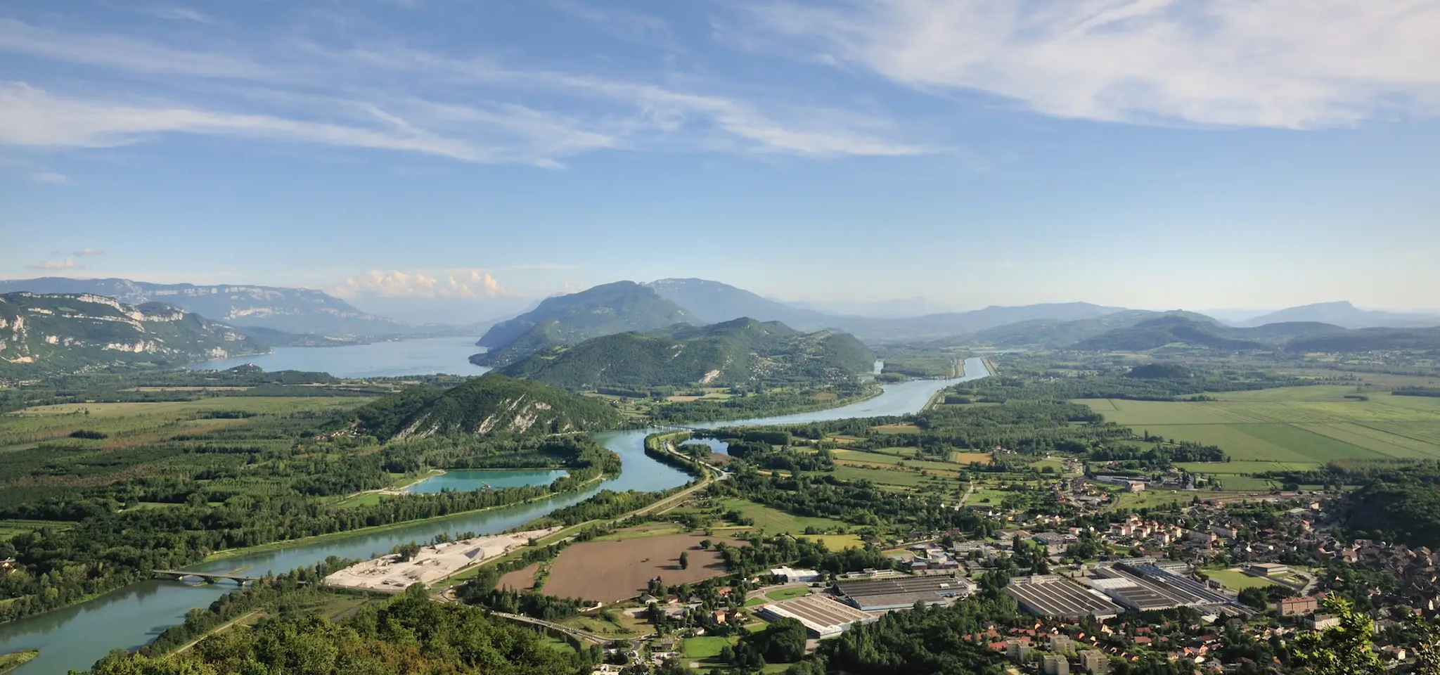
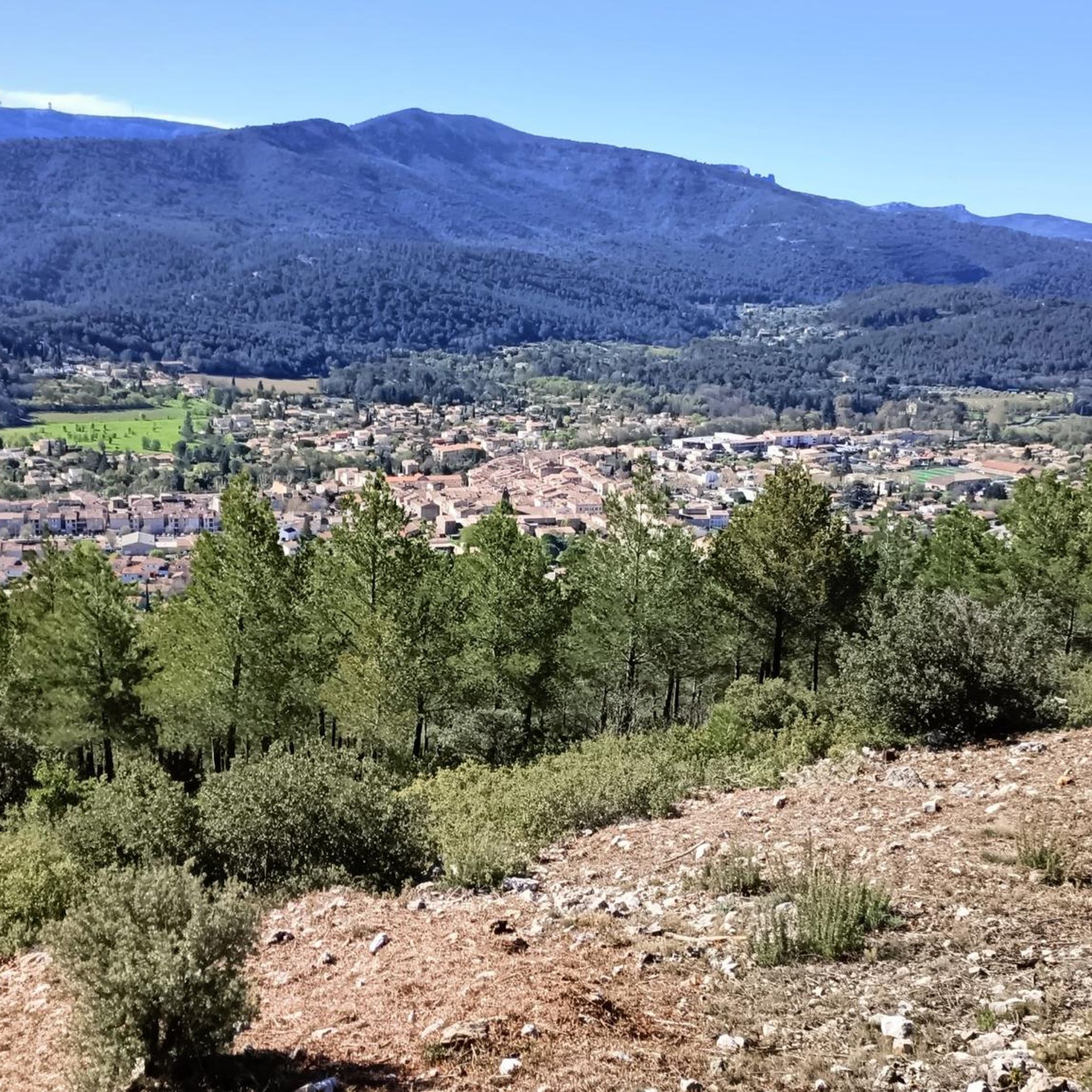
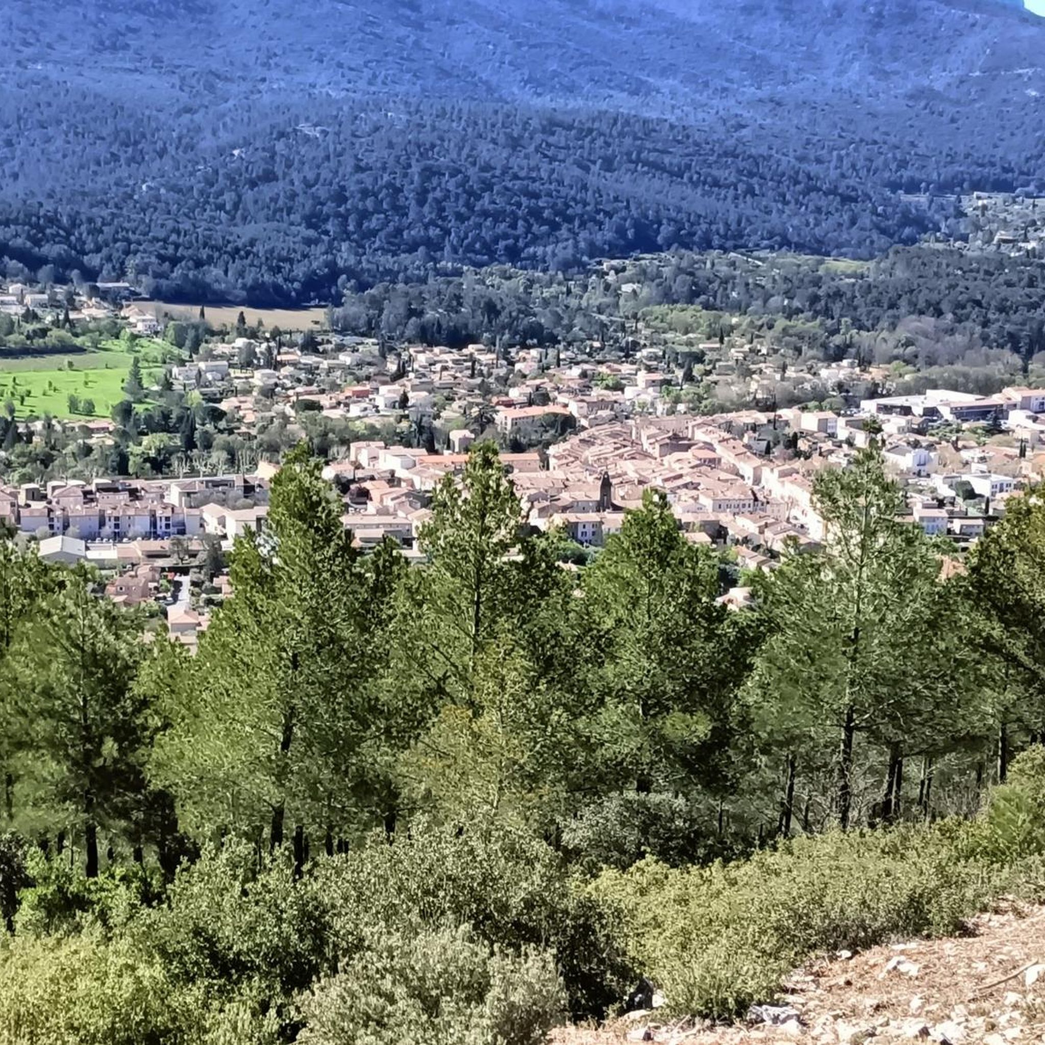
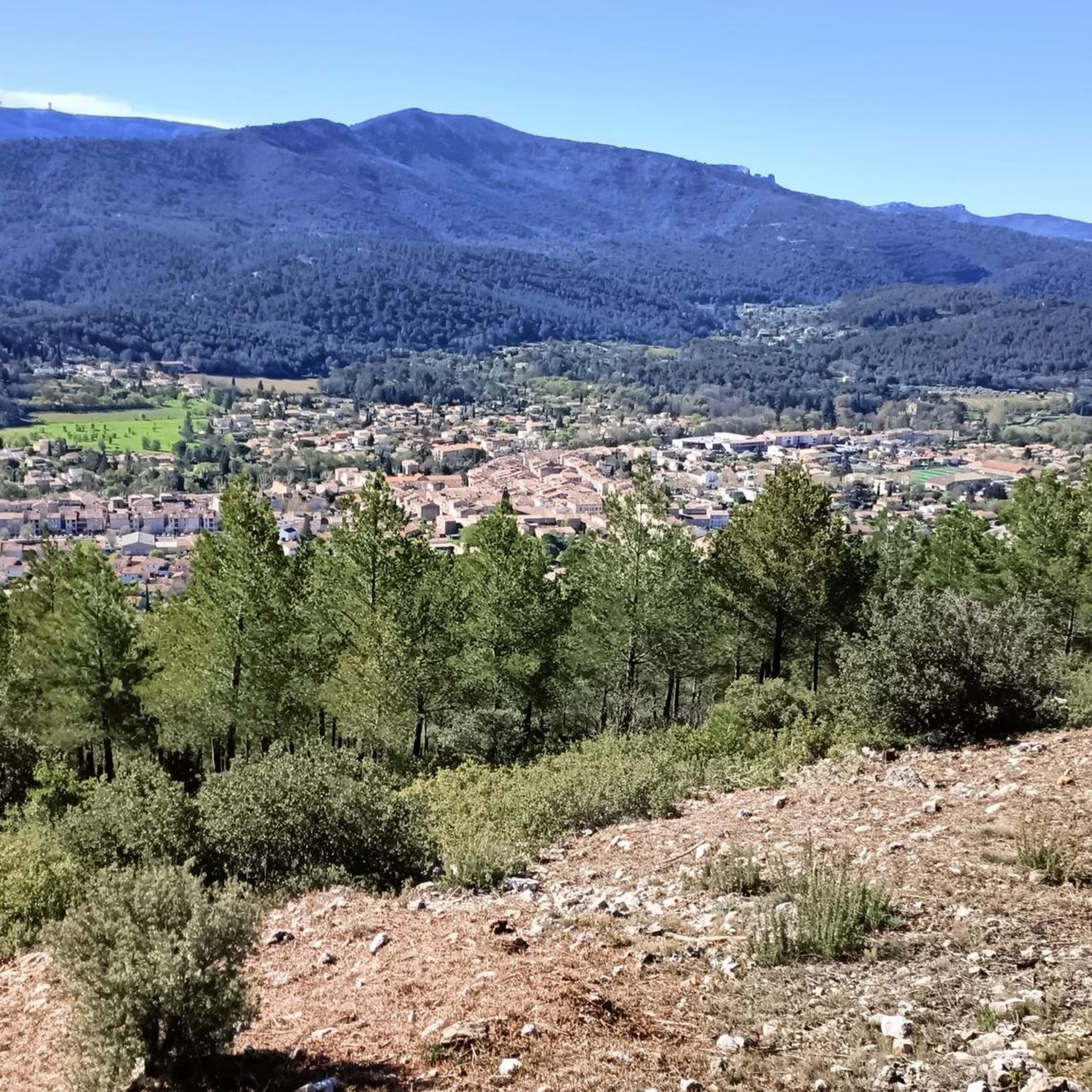
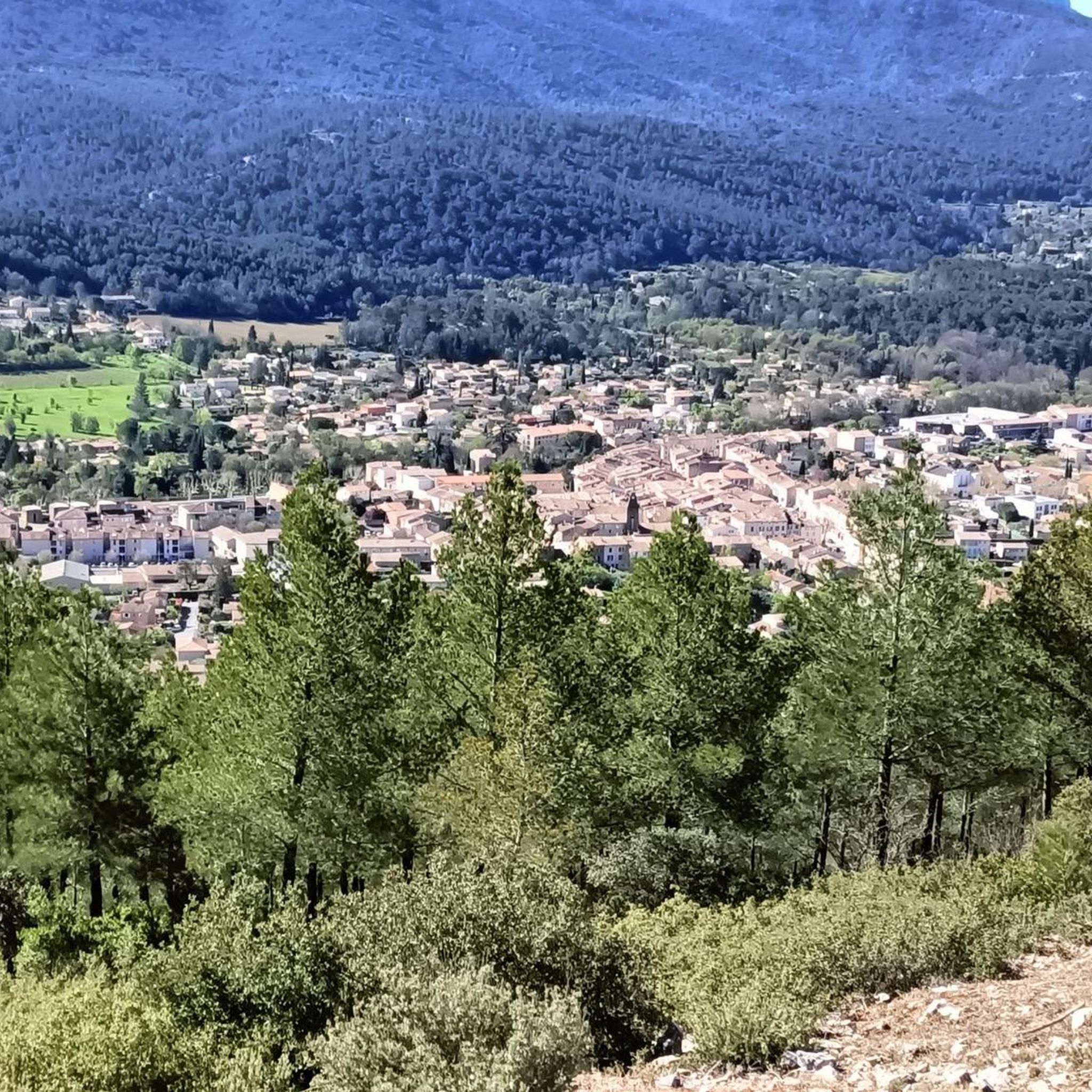
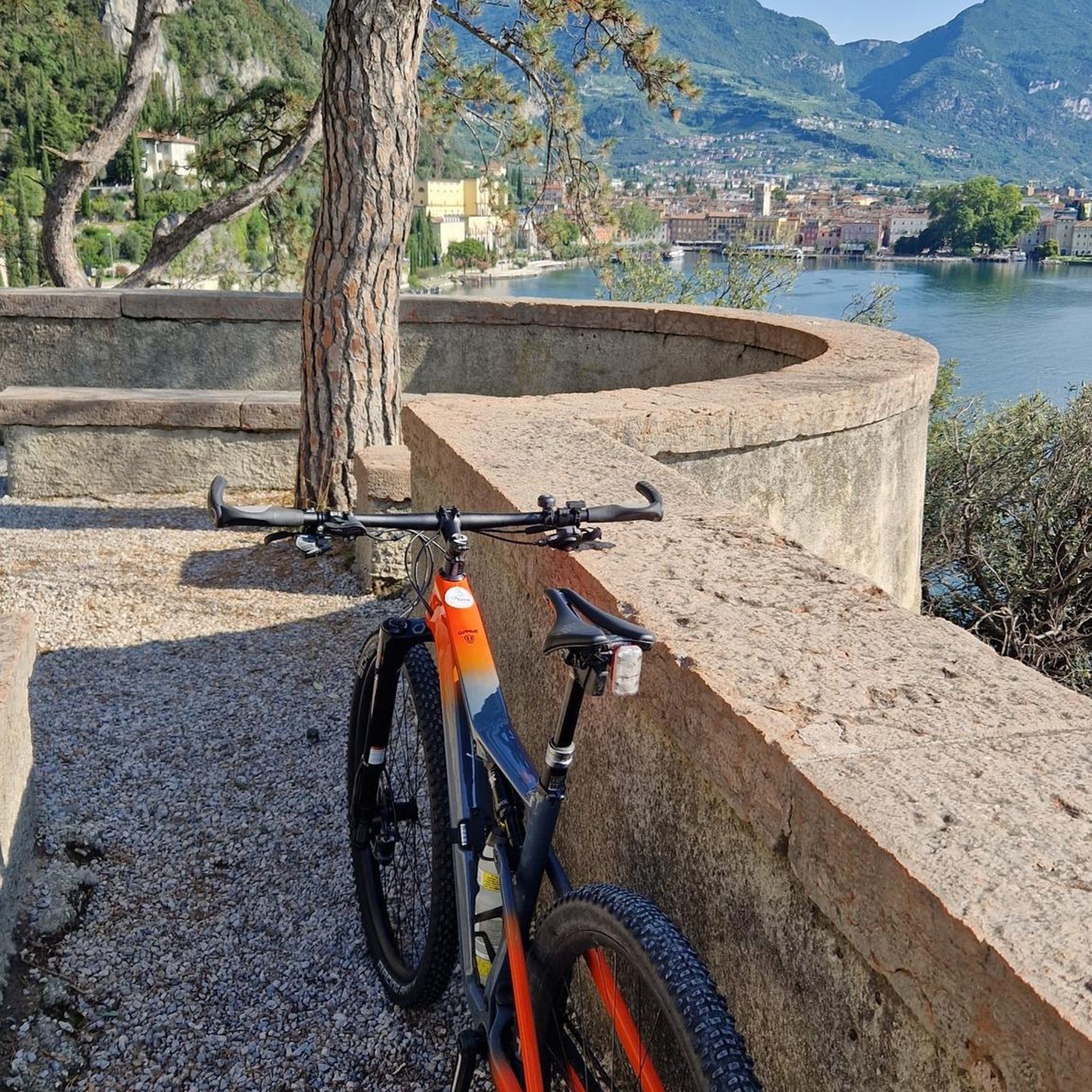
Other adventures around Saint-Zacharie

Tips from the Community

very beautiful and easy climb, view of Saint Victoire below, rapid descent towards St Sac
0
0

Lots of bikers on weekends but you can pull over, whereas the road to Auriol is very narrow and much more dangerous.
0
0


The climb offers sublime scenery. !!! AVOID WEEKENDS, HOWEVER!!! Motorcyclists use this climb as a circuit... The noise and danger make this climb a punishment.
1
0

Never tire of these views.
0
0

A lovely and not too taxing climb up the Col from Trets followed by a sublime descent down towards Saint Zacherie. A joyful ride, great scenery, and a quiet, newly resurfaced road.
1
1

A climb through the Sainte Baume massif, allowing you to reach the highest pass in the Bouches du Rhône. Despite some very short downhill sections, this pass does not spare the legs. Be careful in summer because even if the beginning is a little shady, you will very quickly find yourself burning under the Provençal dodger.
0
0
Highly recognizable by the bakery and all the bikers that loves to make their motors roarrr.
0
0
Frequently Asked Questions
What kind of elevated terrain can I explore around Saint-Zacharie?
While Saint-Zacharie doesn't feature traditional high-altitude mountain passes, its moderately varied topography offers a network of scenic walks and moderate hiking trails. These routes allow you to experience the natural environment and gain elevation, with the highest points reaching up to 642 meters.
Are there specific hiking trails recommended for exploring the elevated areas?
Yes, platforms like Komoot and Outdooractive list various hiking and walking routes in the vicinity of Saint-Zacharie. These trails often involve moderate elevation gains and provide opportunities to enjoy the natural beauty and local flora and fauna. Examples include routes exploring natural features like the 'Source of the Huveaune' and 'Castelette Cave'.
What is the difficulty level of hiking trails around Saint-Zacharie?
The hiking trails around Saint-Zacharie are generally described as moderate, suitable for those with good fitness levels. They offer elevation gains up to 330 meters, providing a rewarding experience without being overly strenuous.
What outdoor activities can I do near Saint-Zacharie's elevated areas?
Beyond hiking, Saint-Zacharie offers various outdoor activities. You can find numerous road cycling routes, gravel biking trails, and running trails. For detailed routes and guides, explore options like Road Cycling Routes around Saint-Zacharie, Gravel biking around Saint-Zacharie, and Running Trails around Saint-Zacharie.
Are there any family-friendly options for exploring the elevated terrain?
The region's network of accessible paths and moderate hikes makes it suitable for families. Trails exploring natural features are often designed to be enjoyed by a wider range of ages and fitness levels, allowing families to experience the local environment together.
What natural features can I expect to see on these trails?
The trails around Saint-Zacharie are noted for their opportunities to experience local flora and fauna. You can explore natural features such as the 'Source of the Huveaune' and 'Castelette Cave', and enjoy views of the surrounding undulating landscape of the Chaudière-Appalaches region.
When is the best time to visit Saint-Zacharie for outdoor activities?
The best time to visit Saint-Zacharie for outdoor activities largely depends on the specific activity. Generally, spring, summer, and fall offer pleasant conditions for hiking, cycling, and running, allowing you to fully enjoy the natural environment. Winter conditions would require appropriate gear for snow-related activities.
Are there any specific viewpoints or scenic spots in the elevated areas?
While not traditional mountain passes, the elevated terrain and various hiking routes provide numerous opportunities for scenic views of the surrounding landscape. Many trails are designed to offer panoramic vistas of the Chaudière-Appalaches region.
What do visitors enjoy most about the elevated terrain around Saint-Zacharie?
Visitors appreciate the varied topography and the extensive network of hiking trails that allow them to explore the natural environment. The moderate elevation gains and accessible paths make it an enjoyable experience for outdoor enthusiasts looking to connect with nature.
Are permits required for hiking the trails around Saint-Zacharie?
Based on available information, there is no general requirement for permits to access the public hiking trails around Saint-Zacharie. However, it's always advisable to check with local tourism offices or park authorities for any specific regulations or private land access requirements before your visit.
Can I bring my dog on the trails around Saint-Zacharie?
Many outdoor trails in Quebec are dog-friendly, but policies can vary by specific trail or park. It's recommended to check the regulations of individual trails or protected areas before heading out with your dog to ensure they are permitted and to understand any leash requirements.
Are there any amenities like cafes or accommodation near the hiking areas?
Saint-Zacharie, as a municipality, offers basic amenities. For specific cafes, pubs, or accommodation options, it's best to check local listings within the village or nearby communities, as these are typically found in populated areas rather than directly at trailheads.
Most popular routes around Saint-Zacharie
Most popular attractions around Saint-Zacharie

Get inspired with the komoot mobile app


Explore more
See even more epic mountain passes by checking out these guides around Saint-Zacharie:
