The best MTB trails around Géovreisset
4.3
(136)
830
riders
107
rides
Mountain biking around Géovreisset offers access to varied terrain within the Ain department of the Auvergne-Rhône-Alpes region. The area is characterized by significant forest cover, varied altitudes ranging from 300 to 1,500 meters, and proximity to lakes. Riders can expect a mix of ascents, descents, forest tracks, and singletracks, with views of the Jura mountains and the Alps in the broader region.
Best mountain bike trails around Géovreisset
- The most popular mountain bike trail is Lake Nantua – Lake Nantua…
Last updated: July 11, 2026
4.6
(14)
57
riders
44.4km
02:31
230m
230m
Moderate mountain bike ride. Good fitness required. Suitable for all skill levels.
19
riders
51.0km
04:52
1,310m
1,310m
Hard mountain bike ride. Very good fitness required. Advanced riding skills necessary.

Sign up for free
29
riders
18.2km
02:17
830m
830m
Moderate mountain bike ride. Good fitness required. Suitable for all skill levels.
4.2
(5)
13
riders
42.7km
04:02
1,010m
1,010m
Hard mountain bike ride. Very good fitness required. Suitable for all skill levels.
4.0
(1)
12
riders
44.2km
03:49
1,080m
1,080m
Hard mountain bike ride. Very good fitness required. Advanced riding skills necessary. Some portions of the route may require you to push your bike.
Get access to more routes and recommendations from other explorers.
Sign up for free
Already have an account?
Our route recommendations are based on thousands of hikes, rides, and runs completed by other people on komoot.
Start today with a free account
Your next adventure awaits.
Login or Signup

Tips from the Community

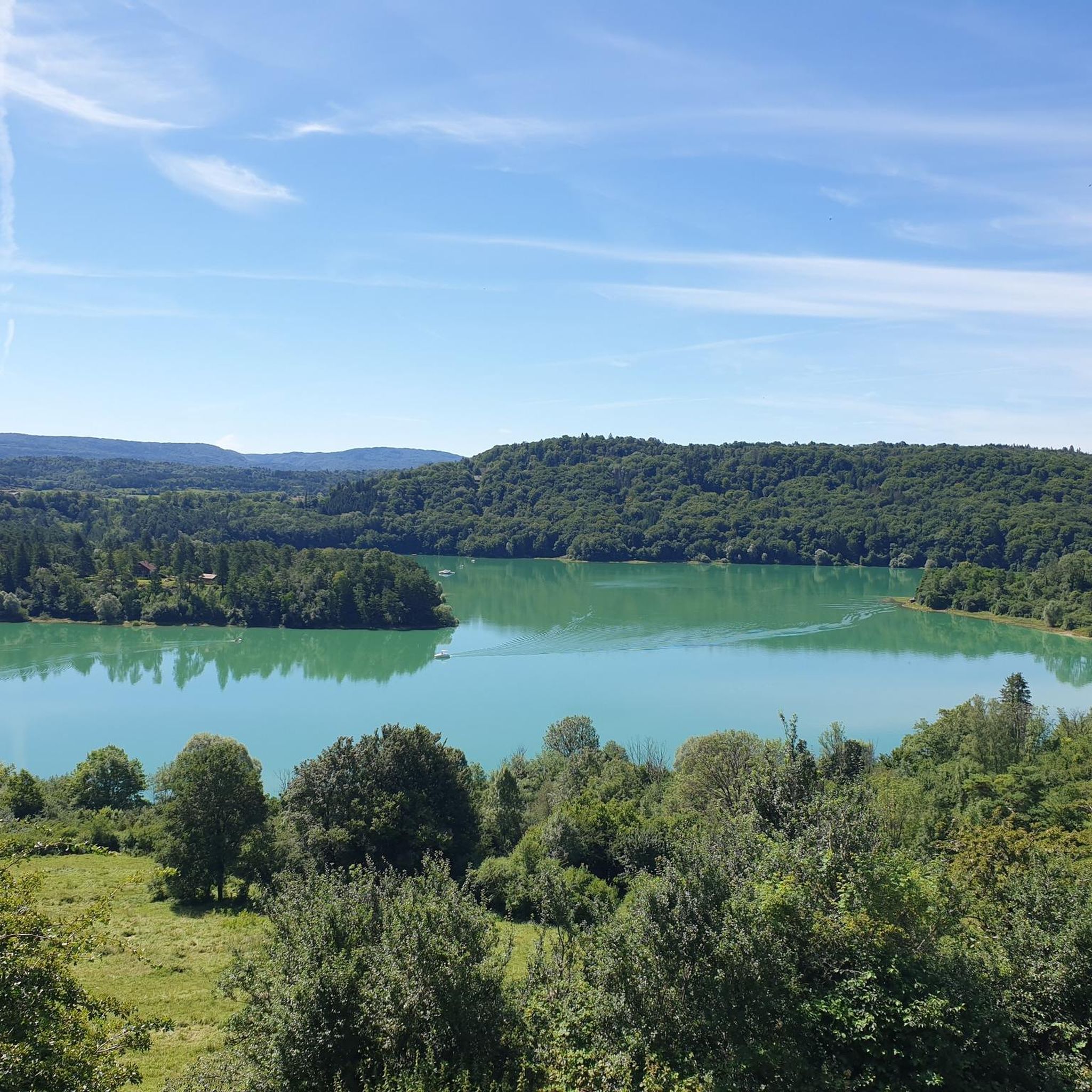
The Lac de Nantua is a superb body of water of 141 hectares. In the heart of the Jura, it offers an ideal setting for practicing a multitude of sports. It is even possible to swim in its waters.
1
0

You think of a castle but only stones - but still a fantastic view
0
0
You think castle but only stones - But fantastic view
0
0

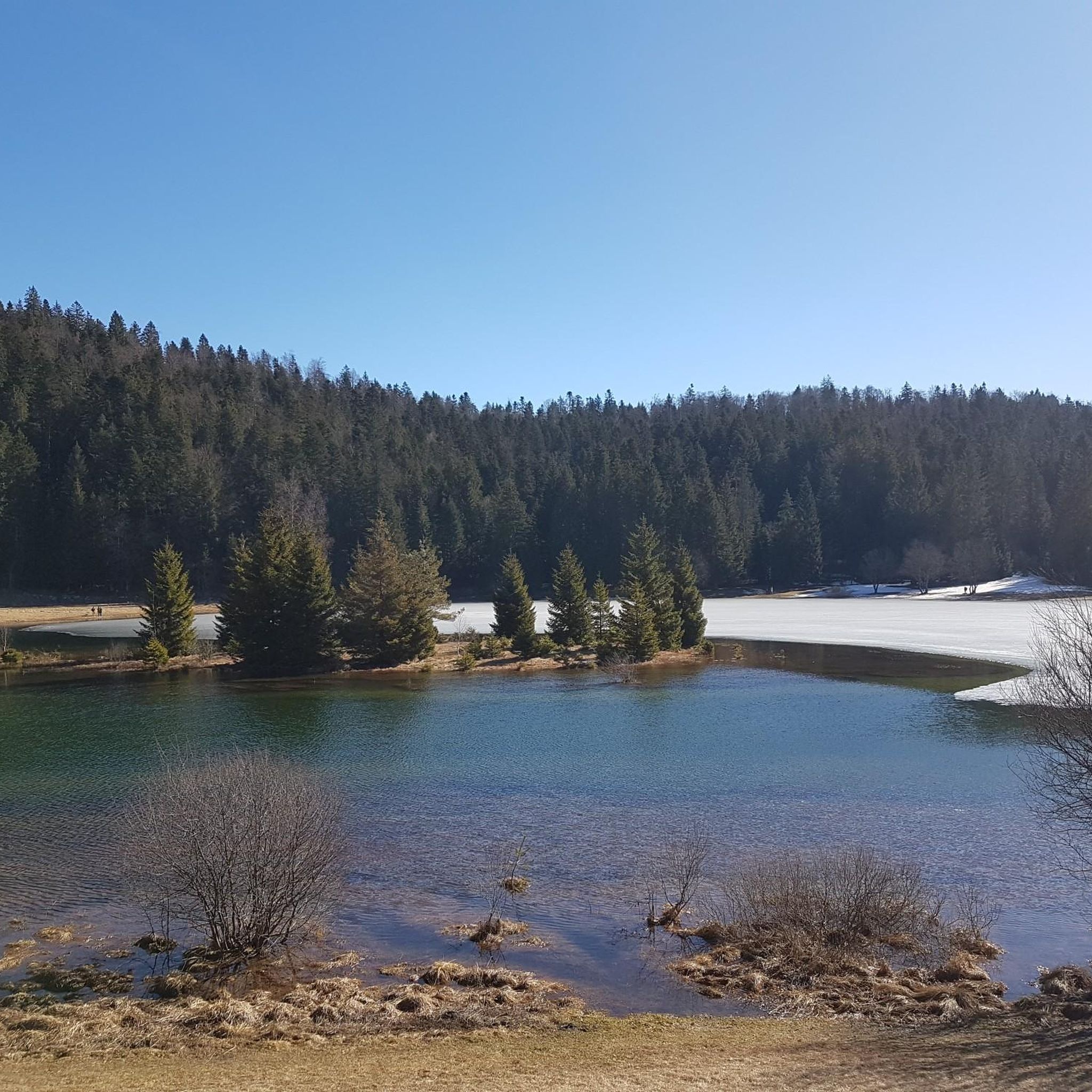
Pretty little lake in the heart of the small Jura mountains
0
0

Beautiful, simple, easy walk; lots of traffic noise on the "road" section, a bit of a shame, but the color of the water is magical
1
0

There is a monument there commemorating the local resistance fighters, who used this meadow to parachute in equipment for the British secret services during the Second World War.
0
0


Unfortunately I was unlucky with the weather, but even as I drove past the place looked very nice, lots of grass and a place to swim.
0
0
Frequently Asked Questions
How many mountain bike trails are available around Géovreisset?
There are over 100 mountain bike trails around Géovreisset listed on komoot. The wider Ain department, where Géovreisset is located, boasts approximately 1500 kilometers of marked trails, including 10 Enduro tracks and 2 bike parks, catering to various skill levels.
What kind of terrain can I expect on mountain bike trails near Géovreisset?
Mountain biking around Géovreisset offers a diverse range of terrain. You can expect a mix of ascents, descents, forest tracks, and singletracks. The region is characterized by significant forest cover and varied altitudes, ranging from 300 to 1,500 meters, providing varied challenges and scenic views.
Are there mountain bike trails suitable for beginners in Géovreisset?
Yes, among the over 100 trails available, there are 9 routes specifically rated as easy, making them suitable for beginners or those looking for a more relaxed ride. The majority of trails (70) are moderate, offering a good progression for riders gaining confidence.
What are some challenging mountain bike trails for experienced riders?
For experienced riders seeking a challenge, there are 23 difficult mountain bike trails around Géovreisset. One such route is the Downhill am/dh – Descent am loop from Bellignat, a 42.6 km trail with significant elevation changes. Another option is the Oliferne Castle Ruins – View of Lac de Coiselet loop from Oyonnax, which covers 43.4 km and features challenging ascents and descents.
Are there any circular mountain bike routes in the area?
Yes, many of the mountain bike trails around Géovreisset are circular, allowing you to start and finish at the same point. For example, the popular Lake Nantua – Lake Nantua loop from Oyonnax offers consistent lakeside riding, while the View of Le Mollard Rond – View of Lac de Viry loop from Oyonnax provides varied forest and open terrain.
What natural features or landmarks can I see along the mountain bike trails?
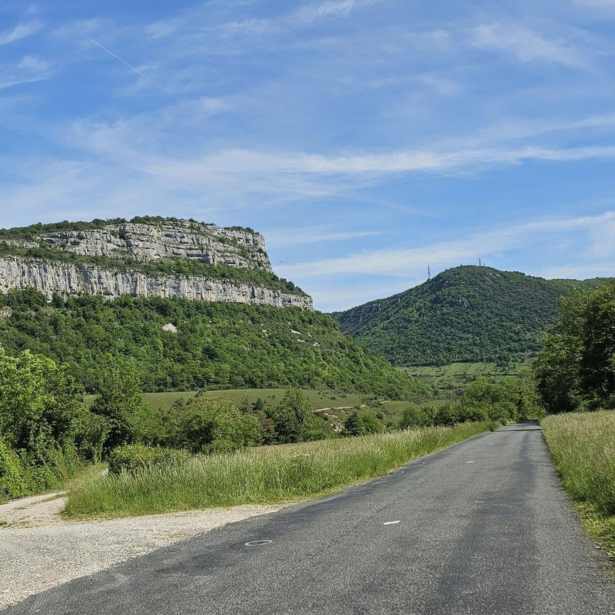
The trails often pass by beautiful natural features and historical landmarks. You can encounter stunning lakes like Lake Nantua and Lake Genin, explore the Oliferne Castle Ruins, or discover the Grotte de Corveissiat. For scenic views, look for trails that lead to the Chancia Viewpoint or pass by the Cascade de la Pisse Vache waterfall.
What do other mountain bikers say about the trails in Géovreisset?
The mountain bike trails around Géovreisset are highly regarded by the komoot community, holding an average rating of 4.3 stars from over 130 reviews. Riders frequently praise the varied terrain, extensive forest cover, and the scenic beauty of the lakes and viewpoints encountered along the routes.
Is Géovreisset a good base for exploring the wider region by mountain bike?
Absolutely. Géovreisset's location within the Ain department makes it an excellent starting point for exploring the broader Auvergne-Rhône-Alpes region. The area is known for its extensive trail networks, including sections of the Grande Traversée du Jura (GTJ) Mountain Bike Route, offering views of the Alps and diverse landscapes.
Are there opportunities for electric mountain biking (VTTAE) in the area?
Yes, the wider Ain region, which includes Géovreisset, caters to various mountain biking preferences, including specific trails designed for electric mountain bikes (VTTAE). This allows riders to cover more ground and tackle challenging ascents with greater ease.
What is the best time of year to go mountain biking near Géovreisset?
The Auvergne-Rhône-Alpes region generally offers good mountain biking conditions from spring through autumn. Spring brings lush greenery, while autumn provides vibrant foliage. Summer is also popular, but it's advisable to start early to avoid the midday heat. Winter can be challenging due to snow and ice, especially at higher altitudes.
Are there any specific mountain biking areas or parks in the Ain department?
Yes, the Ain department is well-equipped for mountain biking. Beyond individual trails, it features dedicated areas like the Espace VTT-FFCT Ain-Forestière, which alone offers 1,500 kilometers of trails across 91 communities. The department also has 10 Enduro tracks and 2 bike parks, providing specialized experiences for riders.
Most popular routes around Géovreisset
Most popular attractions around Géovreisset

Get inspired with the komoot mobile app


Explore more
Browse the best MTB trails in other regions.
