The best running trails around Saint-Claude
4.3
(200)
10,310
runners
698
runs
Jogging routes around Saint-Claude are set within the Jura Mountains, offering diverse terrain for runners. The region is characterized by its proximity to the Haut-Jura Regional Natural Park, featuring extensive forests, limestone gorges, and rolling hills. This landscape provides a variety of paths, from accessible trails to more challenging routes with elevation changes.
Best jogging routes around Saint-Claude
- The most popular jogging route is Tour of Lac de Vouglans Trail, a 4.5 miles (7.3 km) trail that takes 54…
Last updated: August 17, 2026
4.1
(9)
109
runners
7.27km
00:54
140m
140m
Moderate run. Good fitness required. Mostly paved surfaces. Suitable for all skill levels.
3.7
(3)
61
runners
Moderate run. Good fitness required. Mostly paved surfaces. Suitable for all skill levels.

Sign up for free
5.0
(3)
45
runners
4.04km
00:29
60m
60m
Easy run. Great for any fitness level. Mostly paved surfaces. Suitable for all skill levels.
21
runners
Moderate run. Good fitness required. Mostly paved surfaces. Suitable for all skill levels.
18
runners
Moderate run. Good fitness required. Mostly paved surfaces. Suitable for all skill levels.
7
runners
24.1km
03:10
780m
780m
Hard run. Very good fitness required. Sure-footedness, sturdy shoes and alpine experience required.
5.0
(1)
6
runners
6.68km
00:49
170m
170m
Moderate run. Good fitness required. Mostly paved surfaces. Suitable for all skill levels.
197
runners
6.66km
01:05
420m
420m
Hard run. Very good fitness required. Sure-footedness, sturdy shoes and alpine experience required.
5.0
(1)
87
runners
6.17km
00:44
130m
130m
Moderate run. Good fitness required. Mostly paved surfaces. Suitable for all skill levels.
5.0
(2)
174
runners
17.6km
01:57
260m
260m
Hard run. Very good fitness required. Mostly paved surfaces. Suitable for all skill levels.
Get access to more routes and recommendations from other explorers.
Sign up for free
Already have an account?
Our route recommendations are based on thousands of hikes, rides, and runs completed by other people on komoot.
Start today with a free account
Your next adventure awaits.
Login or Signup
Popular around Saint-Claude
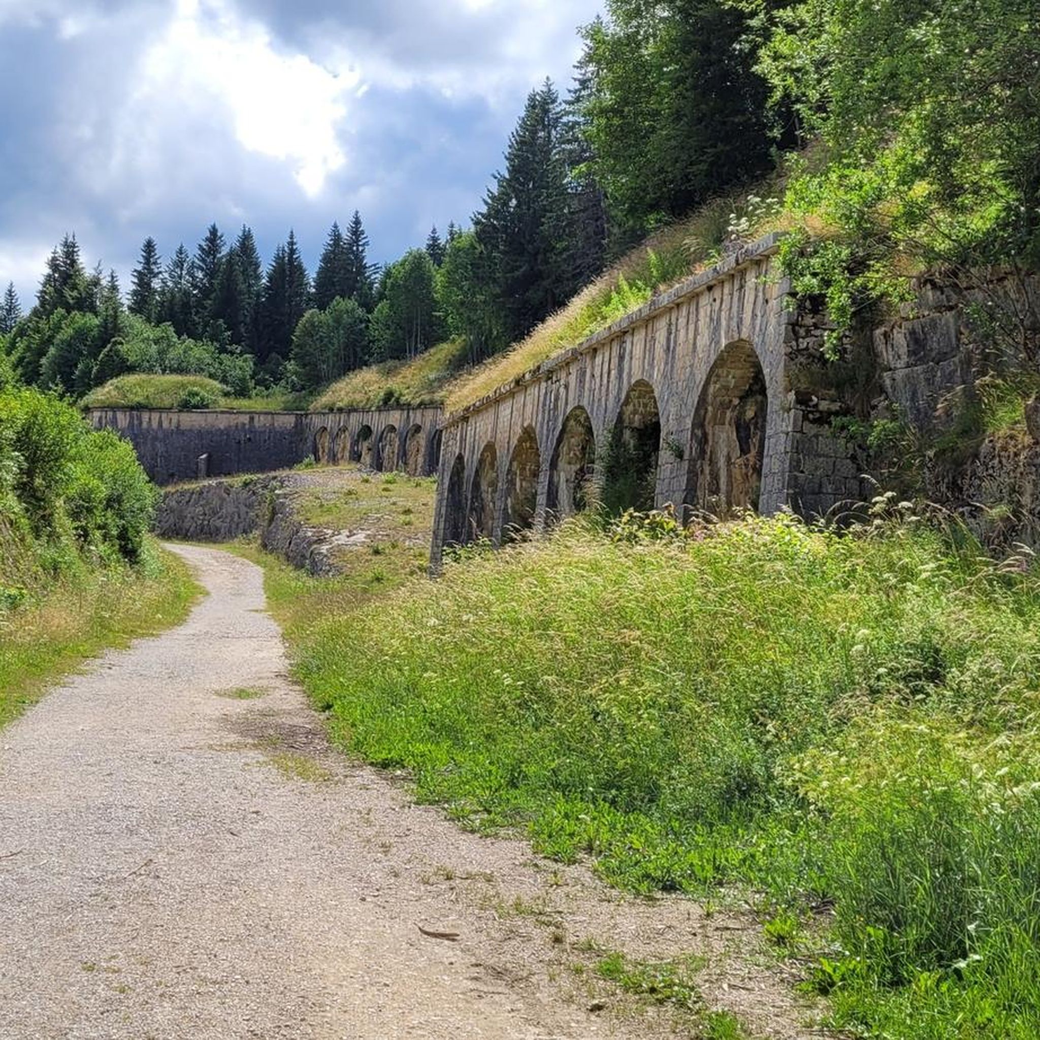
Running Trails around Les Rousses
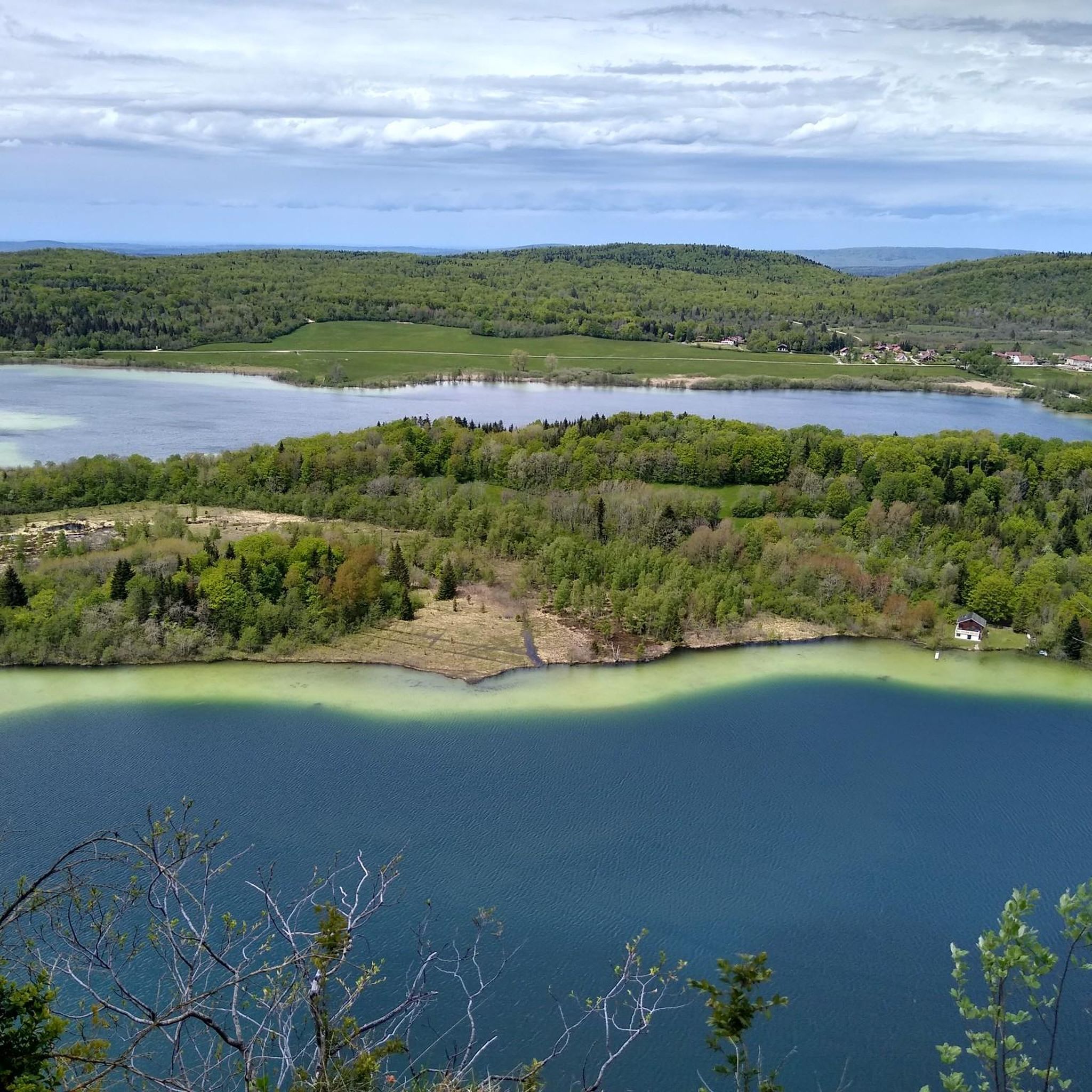
Running Trails around Lac du Grand Maclu
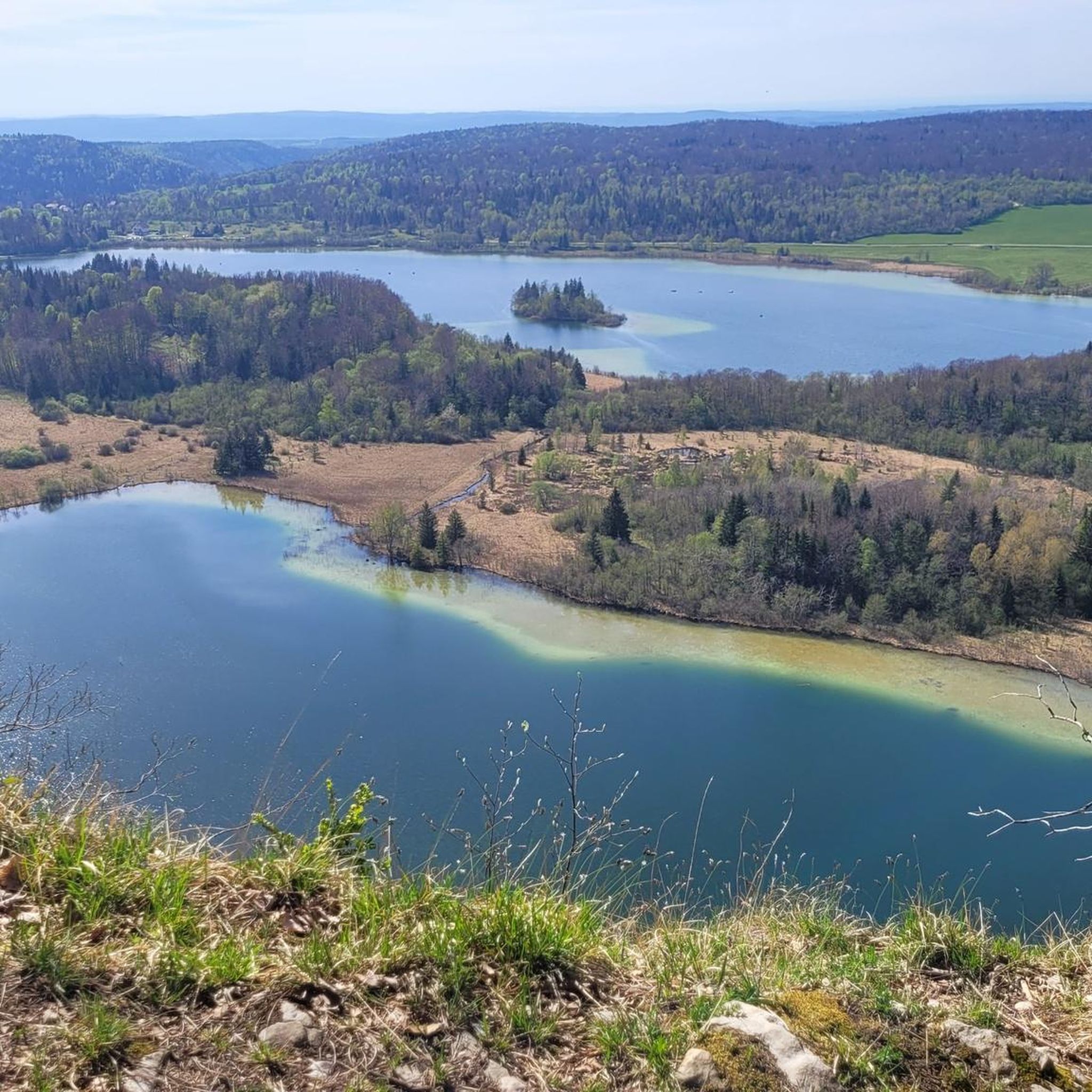
Running Trails around Lac Le Grand Maclu
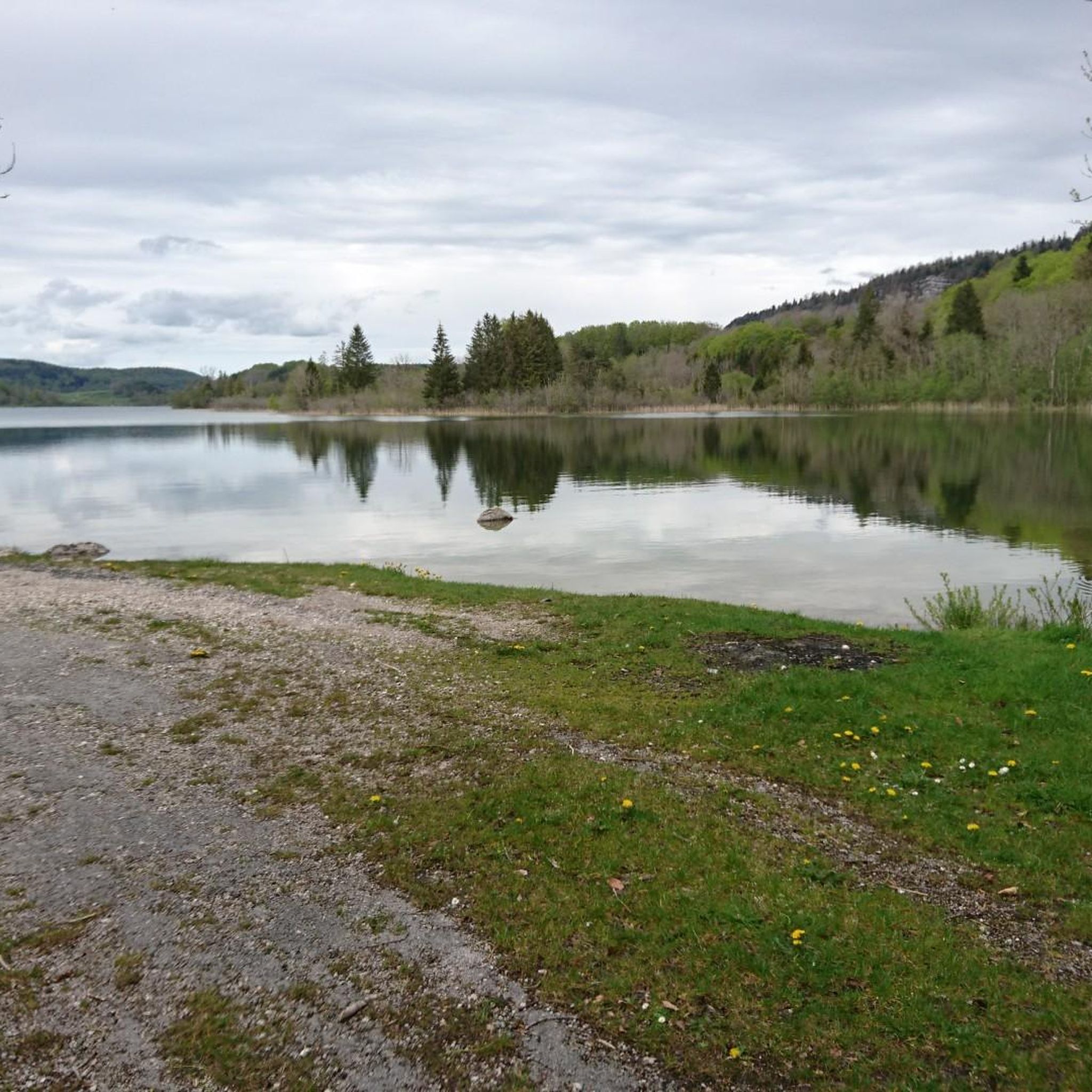
Running Trails around Lac D'Ilay
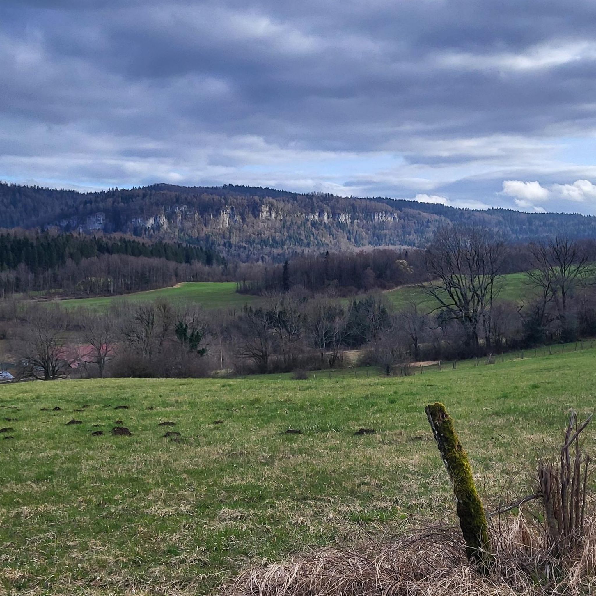
Running Trails around Bonlieu
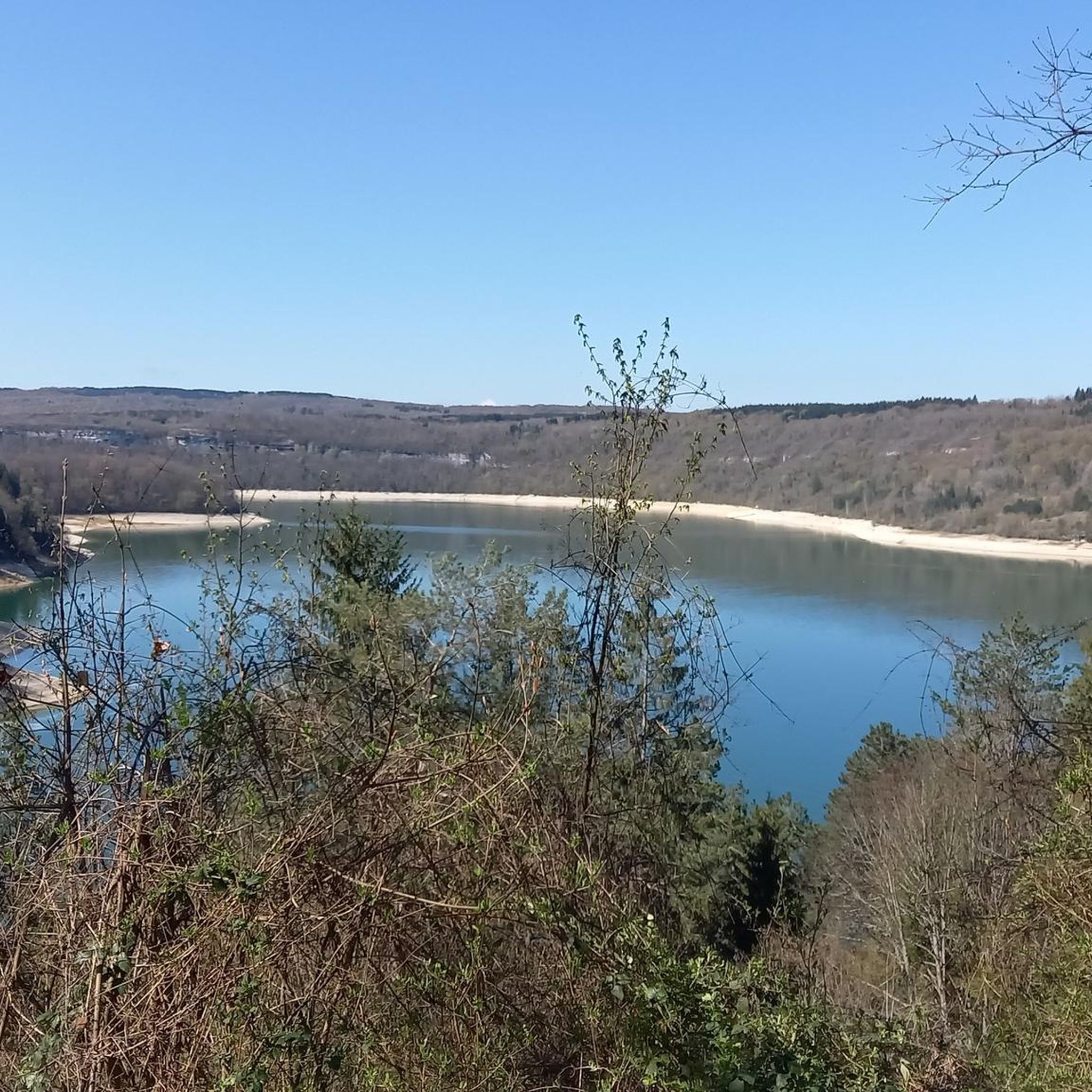
Running Trails around Coyron
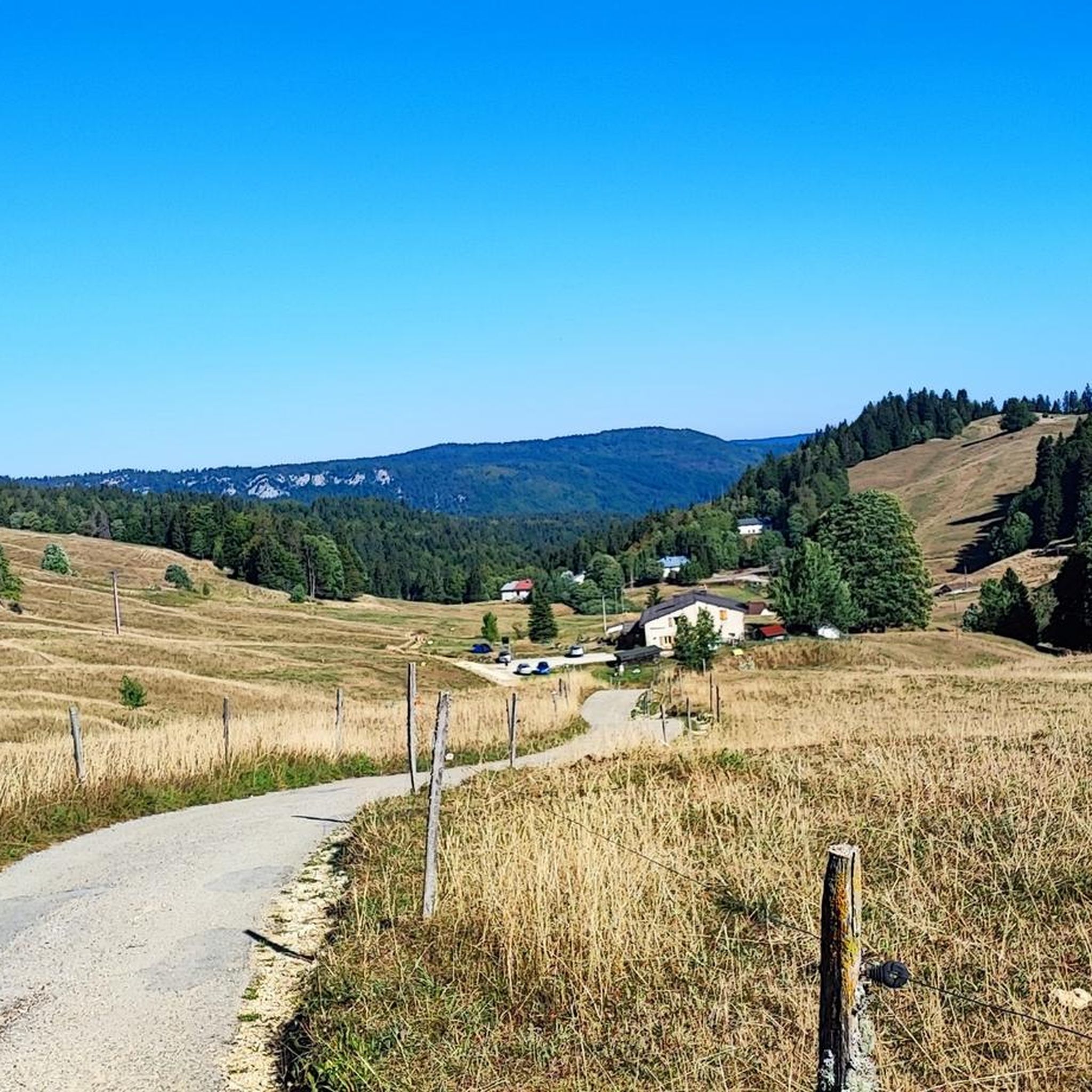
Running Trails around Prémanon
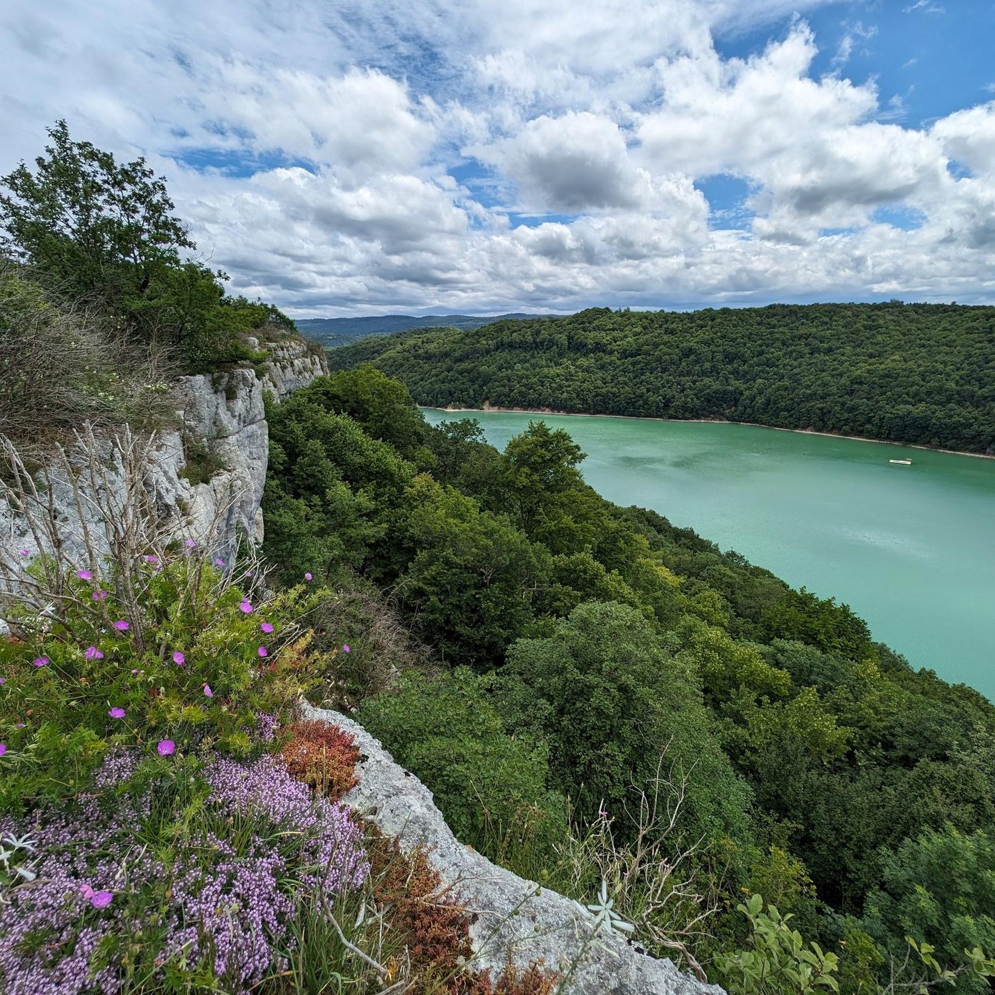
Running Trails around Lac de Vouglans
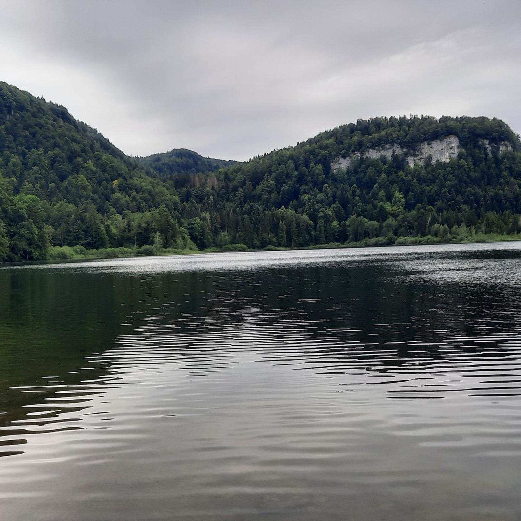
Running Trails around Lac de Bonlieu
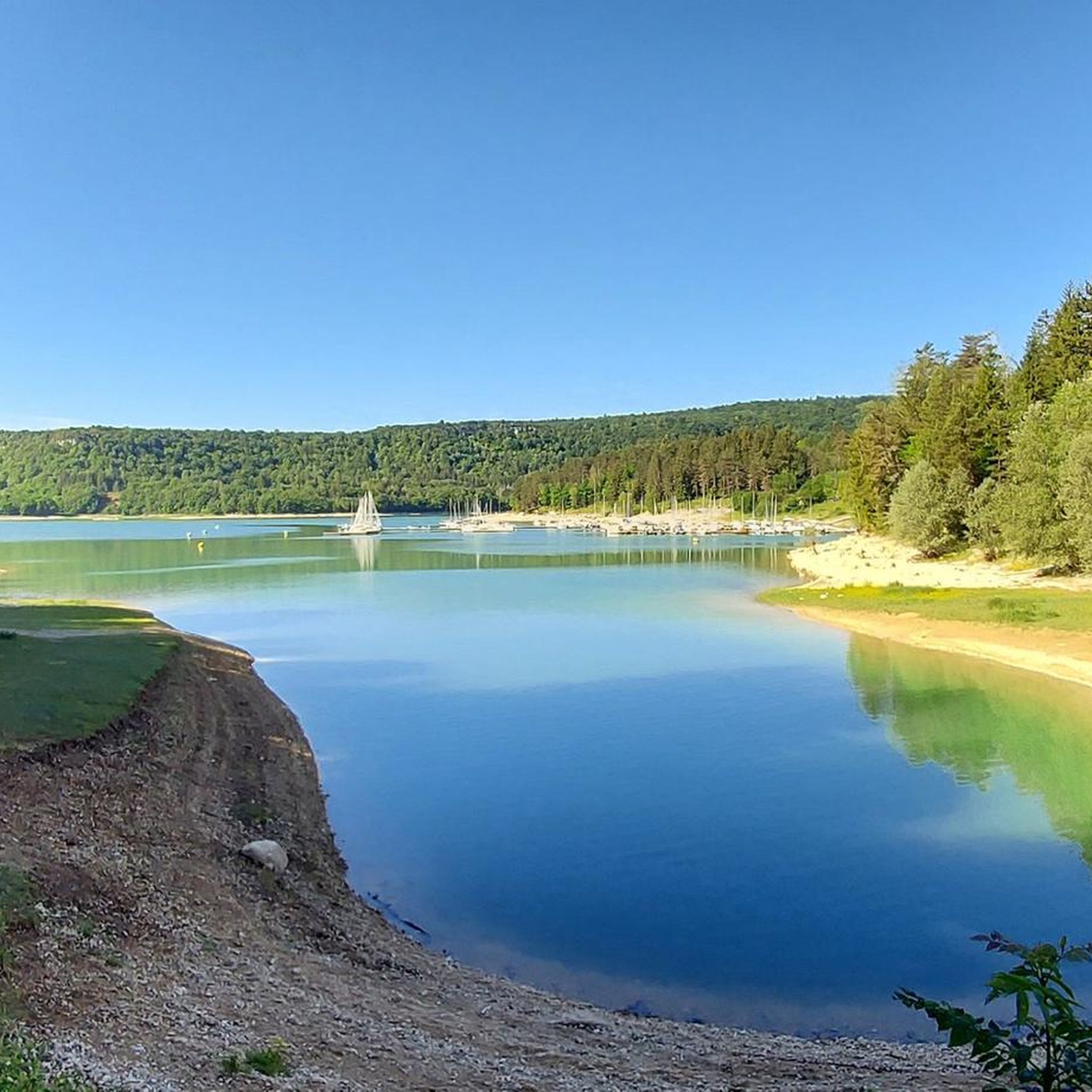
Running Trails around Charchilla
Other adventures around Saint-Claude


Tips from the Community

The old abbey right on the lake.
0
0

Small, rocky stretch of beach that you can climb down to, as well as good views of Lac Le Grand Maclu.
5
0
Beautiful view of Lac de Narlay from the hiking trail.
6
0

Bikepacking trip with a night bivouac on the shores of Lac des Rousses, beach side. Very windy at night, so wrap up warm. Otherwise, a magnificent lake with few people (early August).
0
0

Summit in the Swiss Jura at 1546m Beautiful view of Lac des Rousses. On a clear day, view of Lake Geneva and the Alps.
0
0
The Lac d’Ilay, also called Lac de la Motte, is a lake in the French Jura, in the Jura department, about 14 km south of Champagnole in Franche-Comté. It lies at 774 m on the territory of the municipalities of Le Frasnois and La Chaux-du-Dombief and covers an area of around 0.7 km². The lake is 1.9 km long, a maximum of 400 m wide and has a small island (Île de la Motte). Its greatest depth is 32 m.
5
0
Lacs de Maclu are two adjacent lakes in the western part of the French Jura, in the Jura department of Franche-Comté. They are located at an elevation of 779 m in a depression in the High Jura, in the region of the Five Lakes near Le Frasnois, about 12 km south of Champagnole. The Petit Maclu, located to the northeast, has an area of 5 hectares, a length of about 500 m, and a maximum width of about 120 m. Its greatest depth is 11 m. It lies entirely within the municipal territory of Le Frasnois.
6
0

Frequently Asked Questions
How many running routes are available around Saint-Claude?
There are over 700 running routes available around Saint-Claude, catering to various fitness levels. This includes 35 easy routes, 386 moderate routes, and 289 difficult routes, offering a wide range of options for runners.
What kind of terrain can I expect on the jogging routes in the Saint-Claude area?
The Saint-Claude area, nestled within the Jura Mountains and close to the Haut-Jura Regional Natural Park, offers incredibly diverse terrain. You'll find a mix of limestone gorges, dense forests, open pastures, and rolling hills. This variety provides different surfaces and gradients, from easily accessible paths to more challenging routes with significant elevation changes.
Are there any running routes that feature waterfalls or scenic gorges?
Yes, the region is known for its stunning water features. While specific routes in our guide might not directly pass them, the Tour of Lac de Vouglans Trail offers beautiful lake views. The wider area boasts the famous Hérisson Waterfalls, Gorges de l'Abîme, and Cascade du Flumen, which are popular for scenic walks and can be incorporated into longer runs.
What do other runners think about the trails in Saint-Claude?
The running routes around Saint-Claude are highly rated by the komoot community, with an average score of 4.3 stars from over 150 reviews. More than 10,000 runners have used komoot to explore the varied terrain, often praising the scenic beauty of the Jura Mountains and the well-maintained paths.
Are there any family-friendly running routes in Saint-Claude?
Yes, for families or those looking for an easier run, routes like the Lac de Bonlieu — loop — running from Bonlieu are excellent choices. This easy 2.5-mile (4.0 km) trail leads through forested areas around Lac de Bonlieu, offering a pleasant and accessible experience for all.
Can I bring my dog on the running trails around Saint-Claude?
Generally, dogs are welcome on many trails in the Haut-Jura Regional Natural Park, provided they are kept on a leash and you clean up after them. It's always best to check specific trail regulations or local signage, especially in protected areas, but many of the natural paths are suitable for running with your canine companion.
What are some notable landmarks or points of interest I might see while running?
Beyond the natural beauty, you can find interesting landmarks. For instance, the Lac des Rousses loop offers views of the lake itself. In the broader region, you might encounter highlights like the Three Lakes Viewpoint or the Church of Our Lady of the Nativity of the Abbey and Abbey Site of Grandvaux, which are part of the rich cultural and natural landscape.
Are there any circular running routes available?
Yes, many of the routes around Saint-Claude are designed as loops, which are ideal for running. Examples include the Lac de l’Abbaye loop, the La roche du Creux loop, and the Lake Étival Loop, all offering scenic circuits.
What is the best time of year for running in Saint-Claude?
The best time for running in Saint-Claude is typically from late spring through early autumn (May to October). During these months, the weather is generally mild, and the trails are clear. While winter running is possible, the mid-mountain terrain can present challenges with snow and ice, especially on higher elevation routes like the La Dôle – Col de Porte loop.
Are there running routes with good parking access?
Many trailheads within the Haut-Jura Regional Natural Park and around the various lakes (like Lac des Rousses or Lac de Bonlieu) offer designated parking areas. It's common for popular routes to have nearby parking facilities, making access convenient for runners.
Can I access running trails around Saint-Claude using public transport?
While direct public transport access to every single trailhead might be limited, some villages and towns within the Haut-Jura Regional Natural Park, which serve as starting points for trails, are accessible by regional bus services. For specific routes, it's advisable to check local transport schedules to plan your journey.
Are there any challenging running routes for experienced runners?
Absolutely. For experienced runners seeking a challenge, the Saint-Claude area offers numerous difficult routes. The Le Noirmont - Mont Sâla Loop is a demanding 24 km route with significant elevation gain, while the Pic de l'Aigle loop from La Chaux-du-Dombief also provides a substantial workout with rewarding views.
Most popular routes around Saint-Claude
Most popular attractions around Saint-Claude

Get inspired with the komoot mobile app


Didn’t find what you were looking for?
Check out more Running Trails & Routes throughout Saint-Claude below and find the perfect route in your destination.
Explore more
Browse the best Running Trails & Routes in other regions.
