The best walks and hikes around Parçonerie Générale De Guipuscoa-Et-Alava
4.6
(127)
1,225
hikers
29
hikes
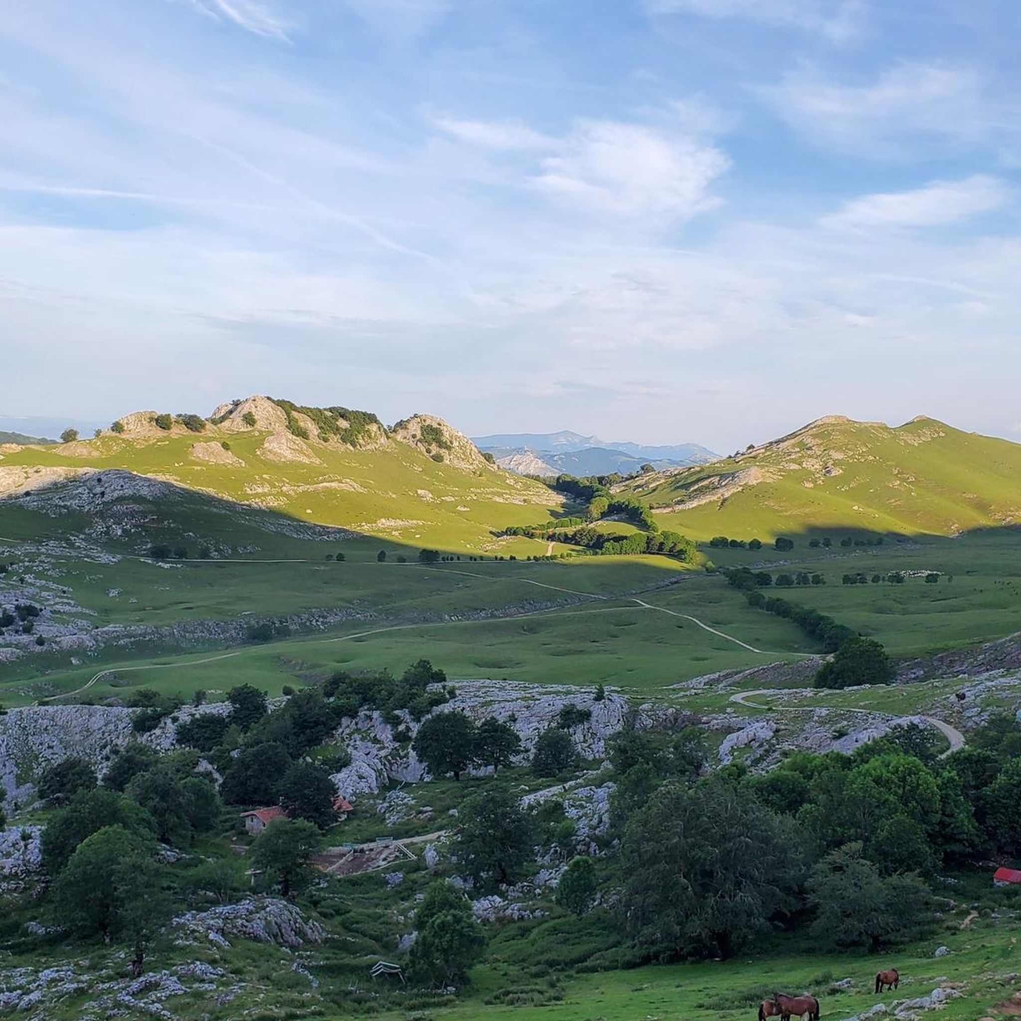
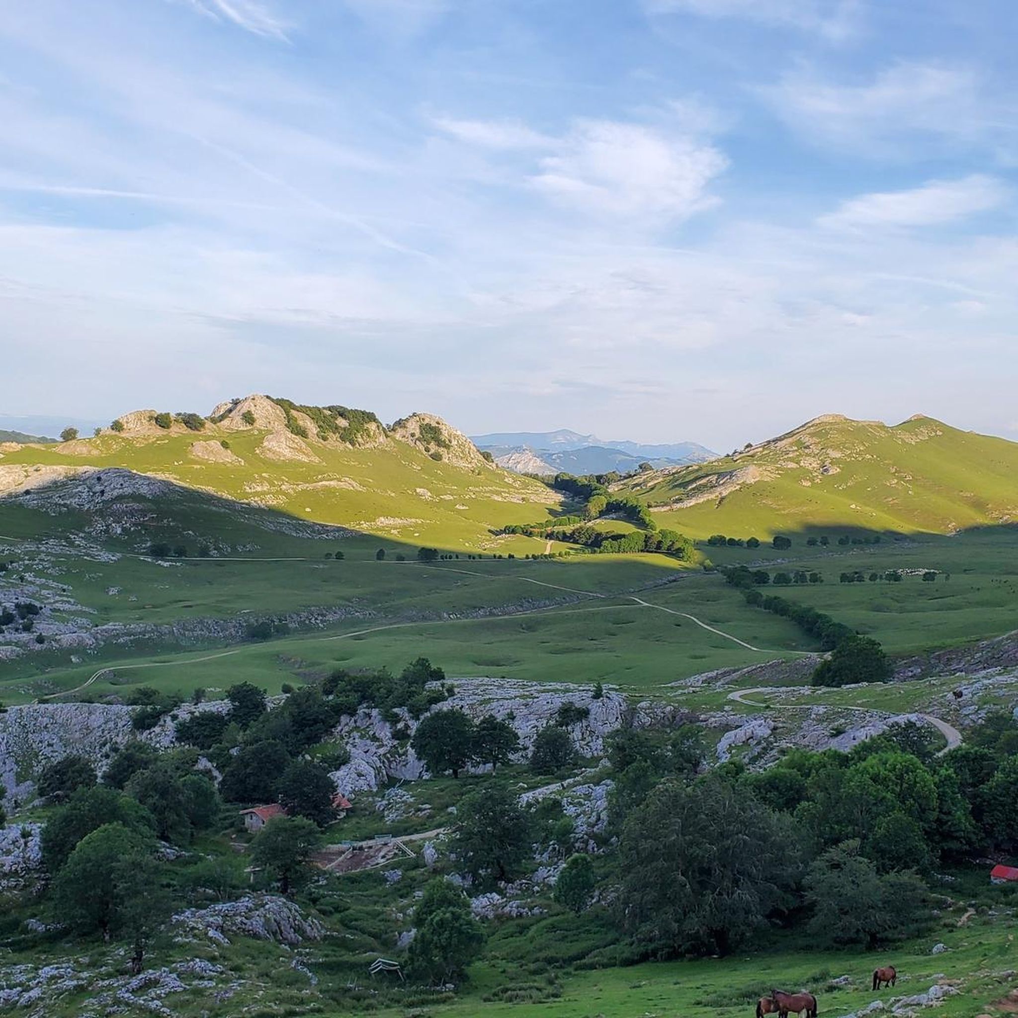
Hiking around Parçonerie Générale De Guipuscoa-Et-Alava offers access to diverse natural landscapes, encompassing the Spanish Basque provinces of Gipuzkoa and Álava. The region features impressive mountain ranges, including the iconic Peñas de Aya and Aizkorri-Aratz Natural Parks, alongside extensive karstic reliefs and deep forests. Its varied terrain ranges from high mountain peaks to dense woodlands and dramatic coastal paths, providing a wide array of hiking experiences.
Best hiking trails around Parçonerie Générale De Guipuscoa-Et-Alava
- The most popular hiking route is…
Last updated: August 23, 2026
4.8
(29)
206
hikers
Hard hike. Good fitness required. Sure-footedness, sturdy shoes and alpine experience required.
4.7
(15)
192
hikers
Hard hike. Good fitness required. Sure-footedness, sturdy shoes and alpine experience required.

Sign up for free
4.6
(11)
132
hikers
Hard hike. Very good fitness required. Sure-footedness, sturdy shoes and alpine experience required.
4.7
(15)
135
hikers
Hard hike. Good fitness required. Sure-footedness, sturdy shoes and alpine experience required.
5.0
(4)
34
hikers
18.3km
07:01
990m
990m
Hard hike. Very good fitness required. Sure-footedness, sturdy shoes and alpine experience required.
Get access to more routes and recommendations from other explorers.
Sign up for free
Already have an account?
Our route recommendations are based on thousands of hikes, rides, and runs completed by other people on komoot.
Start today with a free account
Your next adventure awaits.
Login or Signup
Popular around Parçonerie Générale De Guipuscoa-Et-Alava
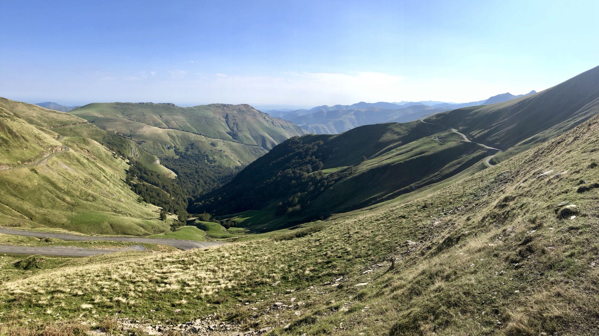
Euskal Herria footpath (GR 12) – The infinite mountain range
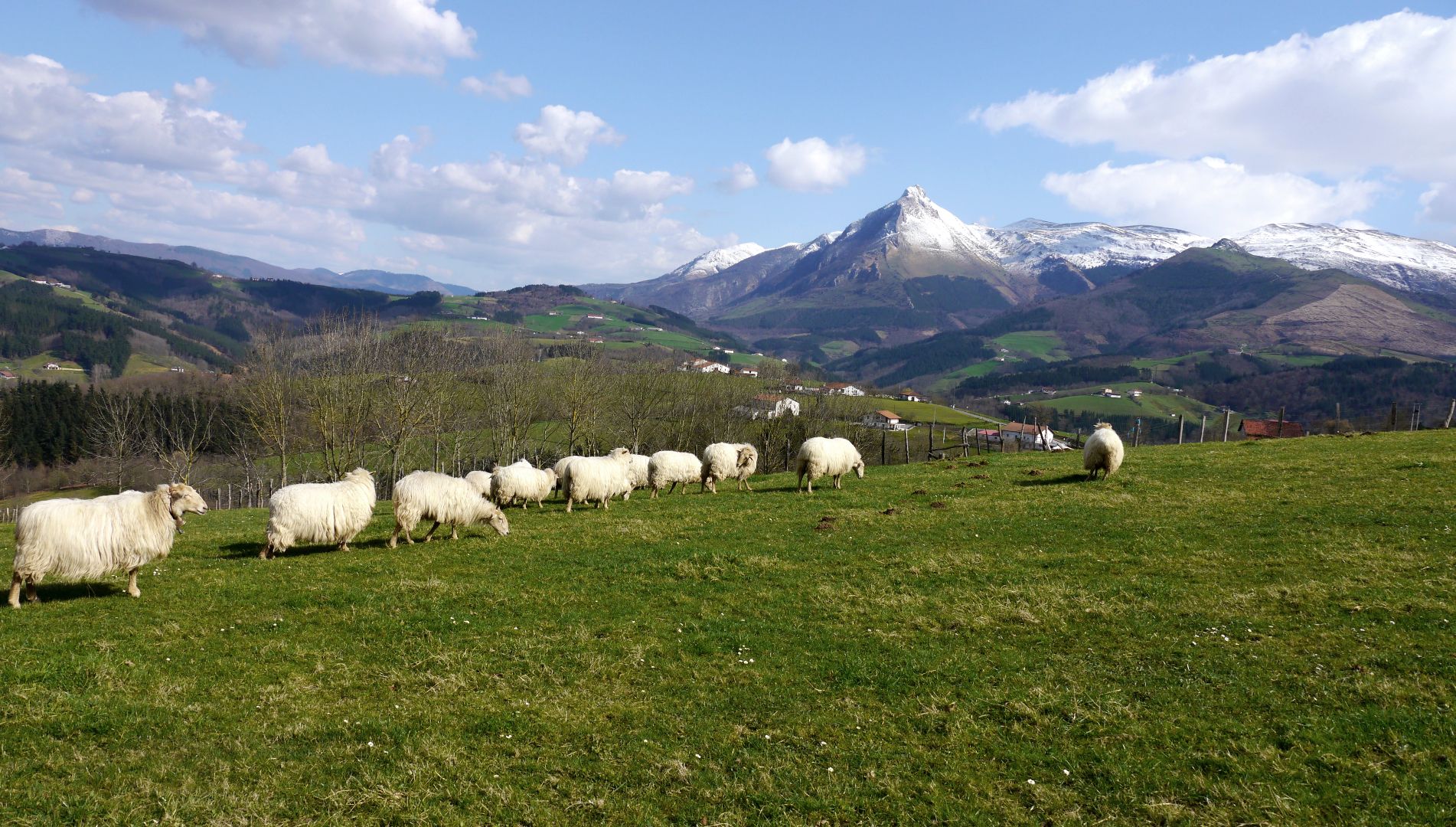
Mountains with tradition in Spain’s Basque Country – Shepherd's Path (GR 282)
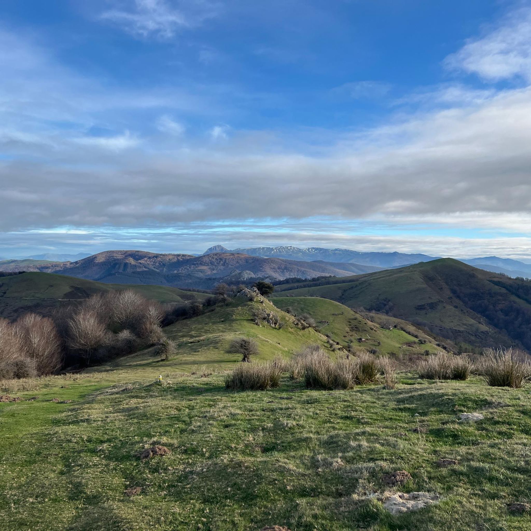
Running Trails around Parçonerie Générale De Guipuscoa-Et-Alava
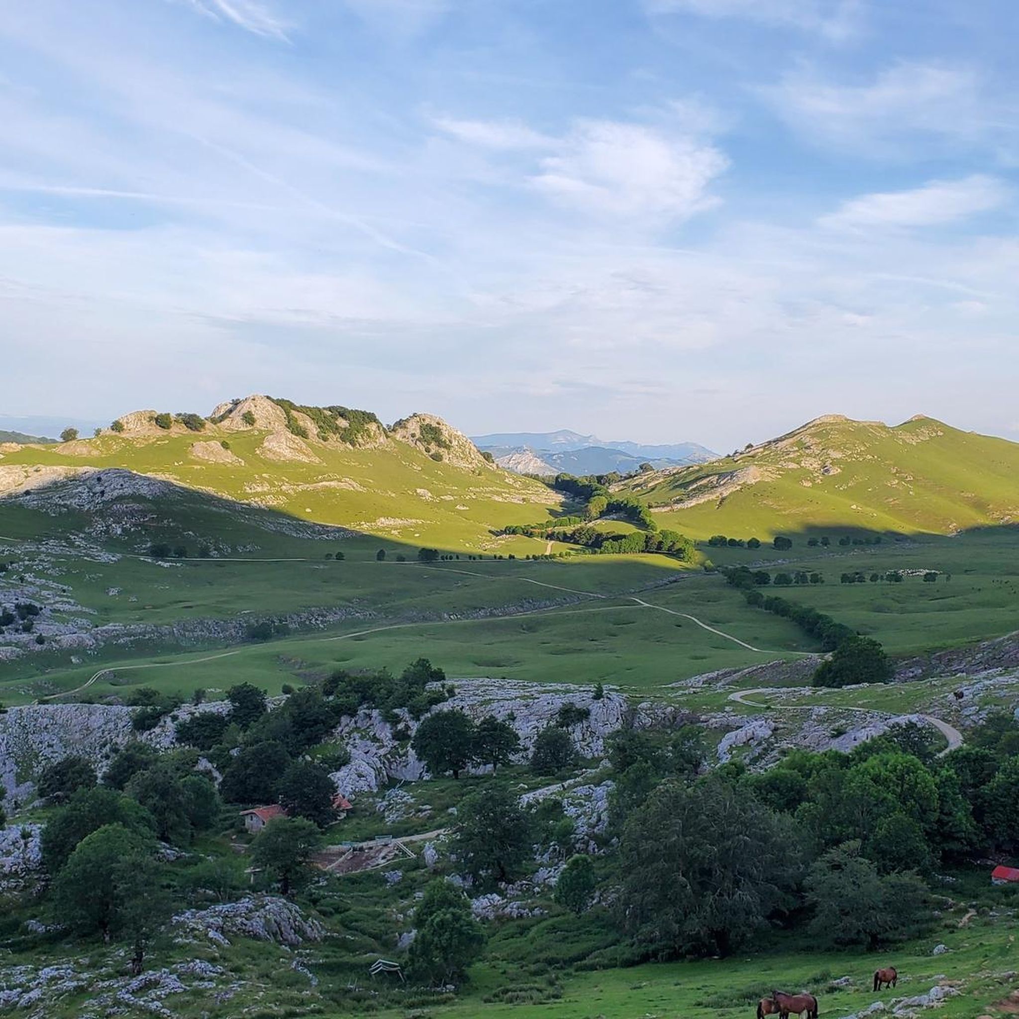
Road Cycling Routes around Parçonerie Générale De Guipuscoa-Et-Alava
MTB Trails around Parçonerie Générale De Guipuscoa-Et-Alava
Cycling around Parçonerie Générale De Guipuscoa-Et-Alava

Mountain Hikes around Parçonerie Générale De Guipuscoa-Et-Alava

Gravel biking around Parçonerie Générale De Guipuscoa-Et-Alava
Other adventures around Parçonerie Générale De Guipuscoa-Et-Alava


Tips from the Community


An inn dating back to 1925, located in the beautiful URBIA, which fulfills its role magnificently, HAPPY BIRTHDAY!
1
0

One of the highest points in the Basque Country, let yourself be enveloped by the fog and it will seem like a magical place.
0
0

A small and charming hermitage, near the San Adrián tunnel. You can go inside to light a candle.
2
0
Just above the San Adrián tunnel. You have to be a little careful on the last climb.
3
0
A place to remember, a joy to visit.
4
0
Starting point for numerous mountain routes.
2
0
Frequently Asked Questions
How many hiking trails are available in Parçonerie Générale De Guipuscoa-Et-Alava?
The region offers a diverse network of over 25 hiking routes, catering to various skill levels. You'll find everything from moderate forest walks to challenging mountain ascents across its varied terrain.
Are there easy hiking trails suitable for beginners or families?
Yes, there are several options for easier hikes. For instance, the San Adrián Tunnel – San Adrián Tunnel loop from San Adriango tunela is a moderate 2.7-mile trail that takes about 1 hour 44 minutes, leading through forested areas and historical passages, making it a good choice for those seeking a less strenuous experience.
What kind of landscapes can I expect to see while hiking in this region?
Parçonerie Générale De Guipuscoa-Et-Alava boasts incredibly diverse landscapes. You can explore impressive mountain ranges like Peñas de Aya and Aizkorri-Aratz, extensive karstic reliefs, and deep forests. The region also features dramatic coastal paths, offering stunning cliff-side views, and tranquil reservoir areas like Ulíbarri-Ganboa.
Are there any circular hiking routes?
Yes, many trails in the region are designed as circular routes, allowing you to start and end at the same point. A popular example is the difficult Aizkorri via the San Adrián pass — circular route through the Aizkorri-Aratz Natural Park, which covers 4.5 miles.
What are some notable natural attractions or landmarks to look out for?
Hikers can discover a wealth of natural and historical landmarks. The San Adrián Tunnel is a significant historical passage, while the Aizkorri Summit (1,523 m) offers breathtaking views. You might also encounter unique geological formations like the Eye of Aitzulo cave.
What is the best time of year to go hiking in Parçonerie Générale De Guipuscoa-Et-Alava?
The region is beautiful year-round, but spring and autumn generally offer the most pleasant hiking conditions with mild temperatures and vibrant natural colors. Spring brings blooming flowers, especially in areas like Pagoeta Natural Park, while autumn showcases stunning foliage in the extensive beech and oak forests. Summer is also popular, particularly for higher mountain trails and coastal walks.
Are there options for more challenging hikes?
Absolutely. The region is known for its mountaineering tradition and offers numerous difficult routes. For instance, the Aizkorri Refuge and Hermitage – San Adrián Tunnel loop from San Adriango tunela is a challenging 6.6-mile path with significant elevation gain, exploring the mountainous terrain of the Aizkorri-Aratz Natural Park.
What do other hikers say about the trails in Parçonerie Générale De Guipuscoa-Et-Alava?
The trails in Parçonerie Générale De Guipuscoa-Et-Alava are highly rated by the komoot community, with an average score of 4.7 stars from over 90 reviews. Hikers often praise the diverse terrain, from challenging mountain ascents to tranquil forest walks, and the well-maintained paths that lead to stunning natural and historical sites.
Can I find trails that pass through forests or offer views of reservoirs?
Yes, the region is rich in deep forests, particularly beech and oak, offering shaded and scenic walks. You can also find trails near the Ulíbarri-Ganboa reservoir in Álava, which provides opportunities for birdwatching alongside hiking, showcasing a different aspect of the region's diverse ecosystems.
Are there any coastal hiking options in the region?
Gipuzkoa's coastline provides a distinct hiking experience. Trails along the Jaizkibel Mountain Range offer impressive cliff-side views, while the popular hike on Monte Ulía in San Sebastián provides unforgettable coastal vistas, leading to picturesque towns like Pasajes. Sakoneta Beach, with its unique flysch landscape, also offers distinct scenery for walkers.
Are dogs allowed on the hiking trails?
Generally, dogs are welcome on many hiking trails in the Parçonerie Générale De Guipuscoa-Et-Alava region, especially in natural parks and rural areas. However, it's always recommended to keep them on a leash, especially in protected areas, near livestock, or during nesting seasons, to protect wildlife and ensure a pleasant experience for all hikers.
How accessible are the trailheads by public transport or car?
While many trailheads are accessible by car, often with designated parking areas, public transport options can vary depending on the specific location. Major towns and natural park entrances usually have better public transport links. For more remote trails, driving is often the most convenient option. It's advisable to check local transport schedules for specific starting points.
Most popular routes around Parçonerie Générale De Guipuscoa-Et-Alava
Most popular attractions around Parçonerie Générale De Guipuscoa-Et-Alava

Get inspired with the komoot mobile app


Explore more
Browse the best Hikes in other regions.
