The best MTB trails around Santibáñez El Alto
5.0
(2)
133
riders
33
rides
Mountain biking around Santibáñez El Alto offers a diverse landscape characterized by hilly terrain and natural trails. The region features a mix of forests and open areas, providing varied riding experiences. Riders can expect routes that traverse through natural landscapes, including some with water features like natural pools. The area's topography supports a range of mountain biking challenges, from gentle paths to more demanding ascents.
Best mountain bike trails around Santibáñez El Alto
- The most popular mountain bike trail is…
Last updated: July 16, 2026
5.0
(1)
7
riders
46.4km
04:54
1,310m
1,310m
Hard mountain bike ride. Very good fitness required. Suitable for all skill levels.
6
riders
16.8km
01:14
60m
60m
This easy 10.5-mile (16.8 km) mountain biking trail in Sierra de Gata features the beautiful El Chorrerón Waterfall.

Sign up for free
19
riders
46.7km
04:32
1,290m
1,290m
Hard mountain bike ride. Very good fitness required. Suitable for all skill levels.
10
riders
39.4km
02:32
320m
320m
Moderate mountain bike ride. Good fitness required. Suitable for all skill levels.
8
riders
24.9km
02:42
770m
770m
Moderate mountain bike ride. Good fitness required. Suitable for all skill levels.
Get access to more routes and recommendations from other explorers.
Sign up for free
Already have an account?
Our route recommendations are based on thousands of hikes, rides, and runs completed by other people on komoot.
Start today with a free account
Your next adventure awaits.
Login or Signup
Tips from the Community

The town's main square is known as Plaza del Palacio (Palace Square), and it serves as the administrative center and one of the town's most iconic landmarks. It is where the Villasbuenas de Gata Town Hall is located. Situated in the heart of the town center, it is a popular meeting place for locals.
3
0
The town's main square is known as Plaza del Palacio (Palace Square), and it serves as the administrative center and one of the town's most iconic landmarks. It is where the Villasbuenas de Gata Town Hall is located. Situated in the heart of the town center, it is a popular meeting place for locals.
4
0

The Chorro de los Ángeles is a waterfall over 200 metres high, directly overlooked by the viewing point that has made it more accessible. It is in Las Hurdes, and belongs to the Ovejuela hamlet, although it can also be reached from Sierra de Gata and in any case you can go by mountain bike or gravel bike along forest trails. The path, especially if done on foot or by mountain bike, allows you not only to contemplate the magnificent landscape of Las Hurdes, but also to smell pine trees, heather and other vegetation. About six kilometres away, there is a signposted detour to the ruins of the Convent of the Angels, which the signs say was built in the 13th century by order of Saint Francis of Assisi. He would have been captivated by nature on his way to Portugal. Today you can walk parallel to a stone alley in excellent condition towards the river of Los Ángeles.
0
0

The bridge..... ...... eye
1
0
Moraleja is a Spanish municipality, located in the province of Cáceres, autonomous community of Extremadura. It includes the town of the same name and an extensive municipal area in which there are several small hamlets and colonization towns such as Cañadas and Rozacorderos.
8
0

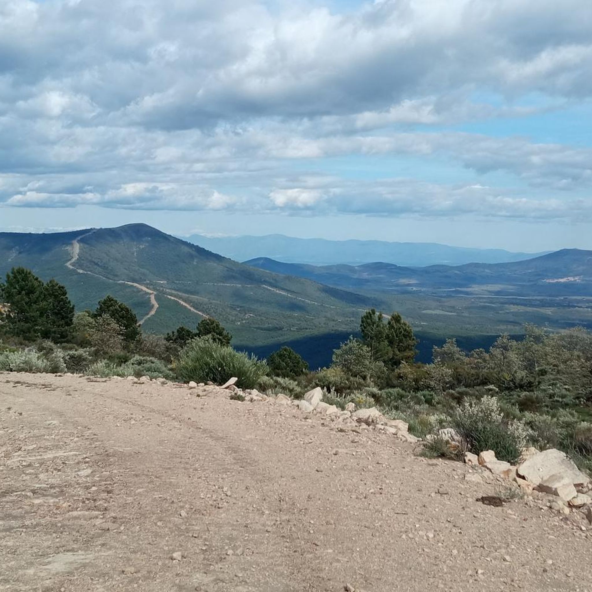
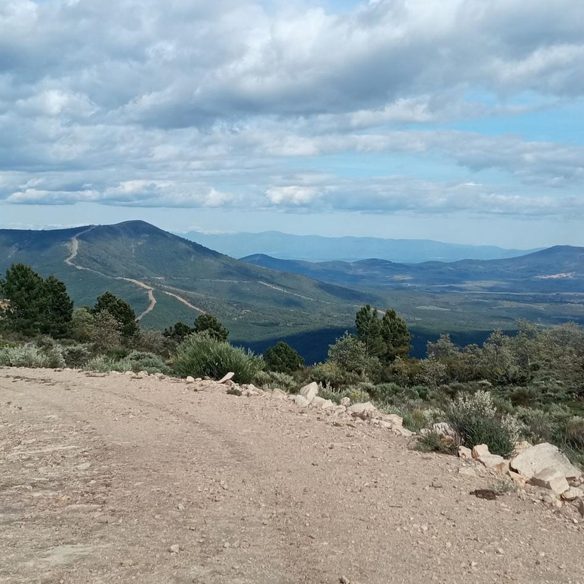
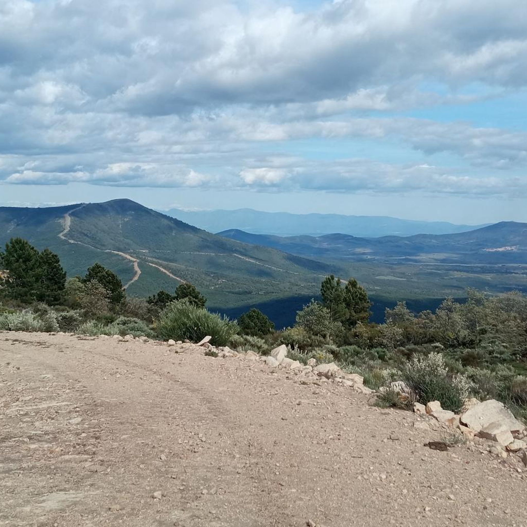
The Cruz de la Piedra pass is a mountain pass in the Sierra del Salido and also a crossroads between the highway and the forest trails and tracks that run through the mountains and connect Torre de Don Miguel and Gata, in the province. from Caceres. At its highest point there is a stone cross.
1
0

At this point you will find a Roman stone cross. It is also a high point where there are some good views. It's just off the road but worth a visit.
2
0
This is a beautiful little town where life slows down. It is located at the foot of the Sierra de Gata. It has charming little streets and a way of life that hasn't changed in years.
1
0
Frequently Asked Questions
How many mountain bike trails are available around Santibáñez El Alto?
There are over 30 mountain bike trails in the Santibáñez El Alto area, offering a variety of experiences for different skill levels. This includes 4 easy routes, 24 moderate routes, and 4 difficult routes.
Are there any easy mountain bike trails suitable for beginners in Santibáñez El Alto?
Yes, there are several easy trails perfect for beginners. One option is the PR-CC 187 El Chorrerón Trail, which is 16.8 km long and winds through natural landscapes, taking about 1 hour and 14 minutes to complete.
What kind of terrain can I expect on mountain bike trails in Santibáñez El Alto?
The mountain bike trails around Santibáñez El Alto are characterized by hilly terrain, natural trails, and forests. You'll find a mix of open areas and wooded sections, with some routes featuring natural pools and significant elevation changes.
Are there any circular mountain bike routes in the area?
Yes, many routes are designed as loops. For example, the challenging Sierra de Gata – circular desde Gata is a 46.4 km loop with expansive views. Another moderate option is the La Cochina Bath – Piscina Natural La Alameda loop from Moraleja, which is 39.4 km long and passes by natural pools.
What are some notable natural attractions or viewpoints along the mountain bike trails?
The region offers several natural highlights. You might encounter the beautiful Chorrituelo Waterfall or enjoy panoramic vistas from the Chorro de los Ángeles Viewpoint. Some routes also pass by natural pools like the Riofrío Natural Pool.
Are there any historical landmarks or interesting places to explore near the trails?
Yes, you can combine your ride with visits to historical sites. The Roman Stone Cross – Negrón Bridge loop from Gata passes by ancient structures. Other nearby attractions include the Torre de Almenara and the charming Villasbuenas de Gata Village Square.
What is the best time of year for mountain biking in Santibáñez El Alto?
The region's climate generally allows for mountain biking through much of the year. Spring and autumn offer pleasant temperatures and lush scenery. While specific winter conditions can vary, the diverse terrain means there are usually rideable options outside of extreme weather.
What do other mountain bikers enjoy most about the trails in Santibáñez El Alto?
The mountain biking experience in Santibáñez El Alto is highly rated by the komoot community, with an average score of 5.0 stars. Riders often praise the diverse landscape, the mix of forests and open areas, and the natural, challenging trails that cater to various skill levels.
Are there any longer, more challenging mountain bike routes for experienced riders?
Absolutely. For experienced riders seeking a challenge, the Roman Stone Cross – Negrón Bridge loop from Gata is a difficult 46.9 km route with significant elevation gain, taking approximately 4 hours and 53 minutes. Another demanding option is the Sierra de Gata – circular desde Gata.
How long do mountain bike trails typically take to complete in this region?
Trail durations vary significantly based on difficulty and length. Easy routes like the PR-CC 187 El Chorrerón Trail can be completed in about 1 hour and 14 minutes, while more difficult and longer routes, such as the Cruz de Piedra Pass – Roman Stone Cross loop from Cadalso (34.5 km), might take around 3 hours and 21 minutes, or even longer for the most challenging ones.
Are there any routes that pass by water features or natural pools?
Yes, some routes offer refreshing stops at natural water features. The La Cochina Bath – Piscina Natural La Alameda loop from Moraleja is a moderate trail that leads through varied terrain and includes natural pools, perfect for a break.
Most popular attractions around Santibáñez El Alto

Get inspired with the komoot mobile app


Explore more
Browse the best MTB trails in other regions.
