The best running trails around Santibáñez El Alto
5.0
(1)
39
runners
12
runs
Jogging around Santibáñez El Alto offers diverse terrain within the Sierra de Gata, characterized by woodlands, mountains, and meadows. The region features varied topography, from winding village streets to natural trails. Key natural features include the Borbollón Reservoir and numerous natural pools, providing scenic backdrops for running.
Best jogging routes around Santibáñez El Alto
- The most popular jogging route is Moraleja loop from Moraleja, a 7.1 miles (11.5 km) trail that takes 1 hour 11 minutes to complete. This…
Last updated: July 7, 2026
11
runners
11.5km
01:11
30m
30m
Moderate run. Good fitness required. Mostly paved surfaces. Suitable for all skill levels.
5.0
(1)
9
runners
21.5km
02:34
700m
700m
Hard run. Very good fitness required. Sure-footedness, sturdy shoes and alpine experience required.

Sign up for free
4
runners
5.41km
00:34
10m
10m
Moderate run. Good fitness required. Mostly paved surfaces. Suitable for all skill levels.
6
runners
14.6km
02:12
780m
770m
Hard run. Very good fitness required. Mostly paved surfaces. Suitable for all skill levels.
3
runners
3.98km
00:25
10m
10m
Easy run. Great for any fitness level. Mostly paved surfaces. Suitable for all skill levels.
Get access to more routes and recommendations from other explorers.
Sign up for free
Already have an account?
Our route recommendations are based on thousands of hikes, rides, and runs completed by other people on komoot.
Start today with a free account
Your next adventure awaits.
Login or Signup
Tips from the Community

The Gata area, in the Sierra de Gata (Cáceres), offers a spectacular set of hiking trails that combine history, nature, and panoramic views.
5
0
Moraleja is a Spanish municipality, located in the province of Cáceres, autonomous community of Extremadura. It includes the town of the same name and an extensive municipal area in which there are several small hamlets and colonization towns such as Cañadas and Rozacorderos.
8
0

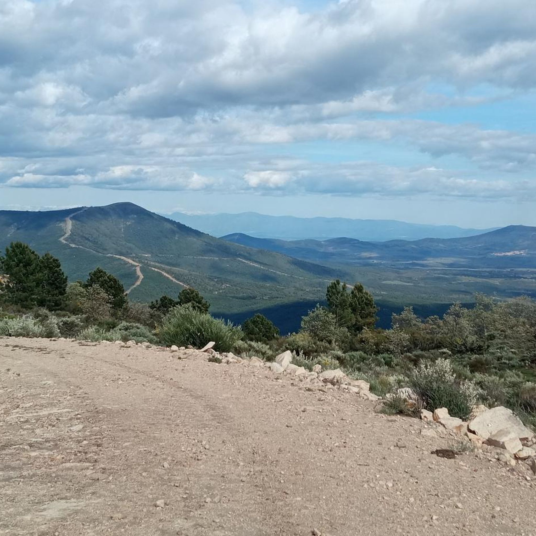
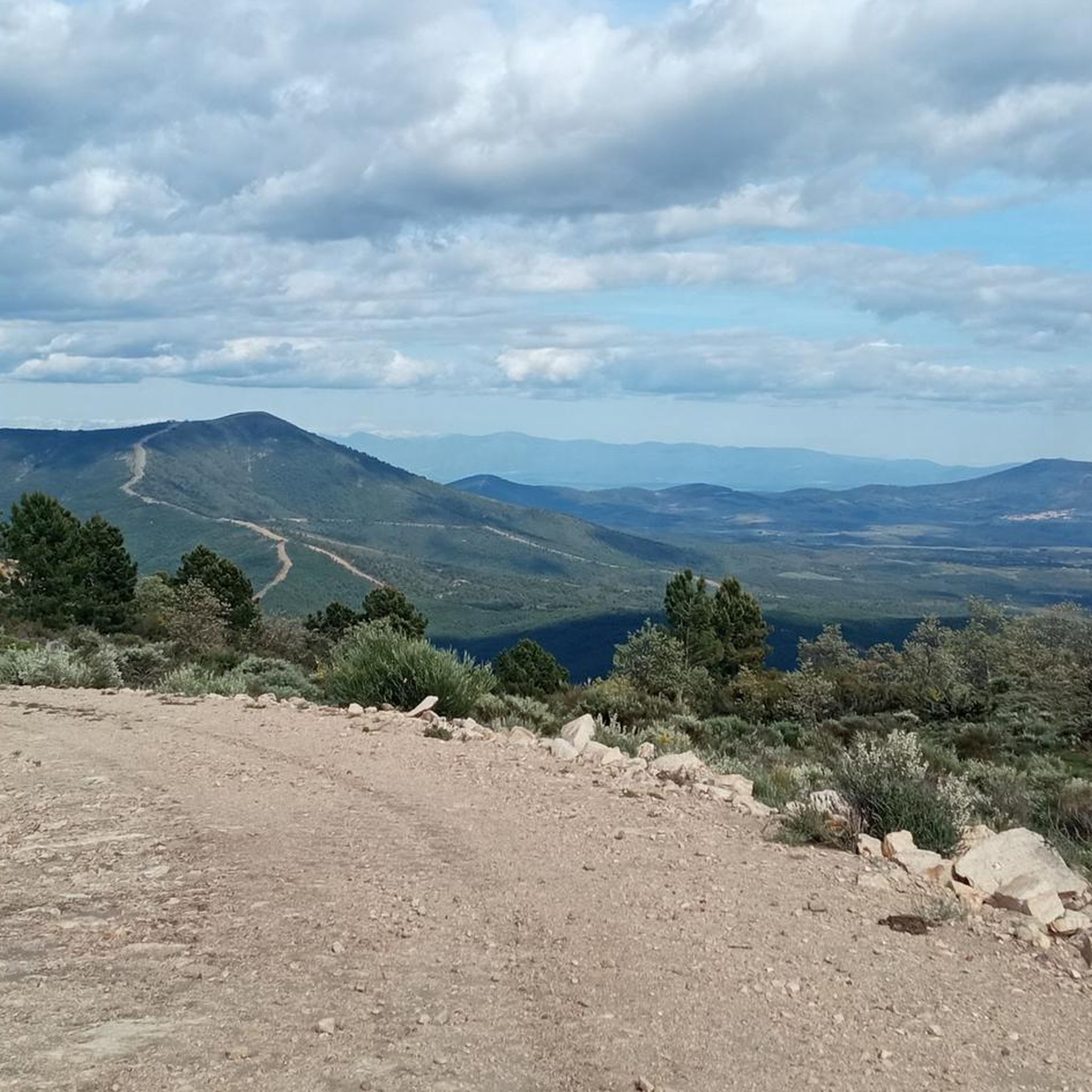
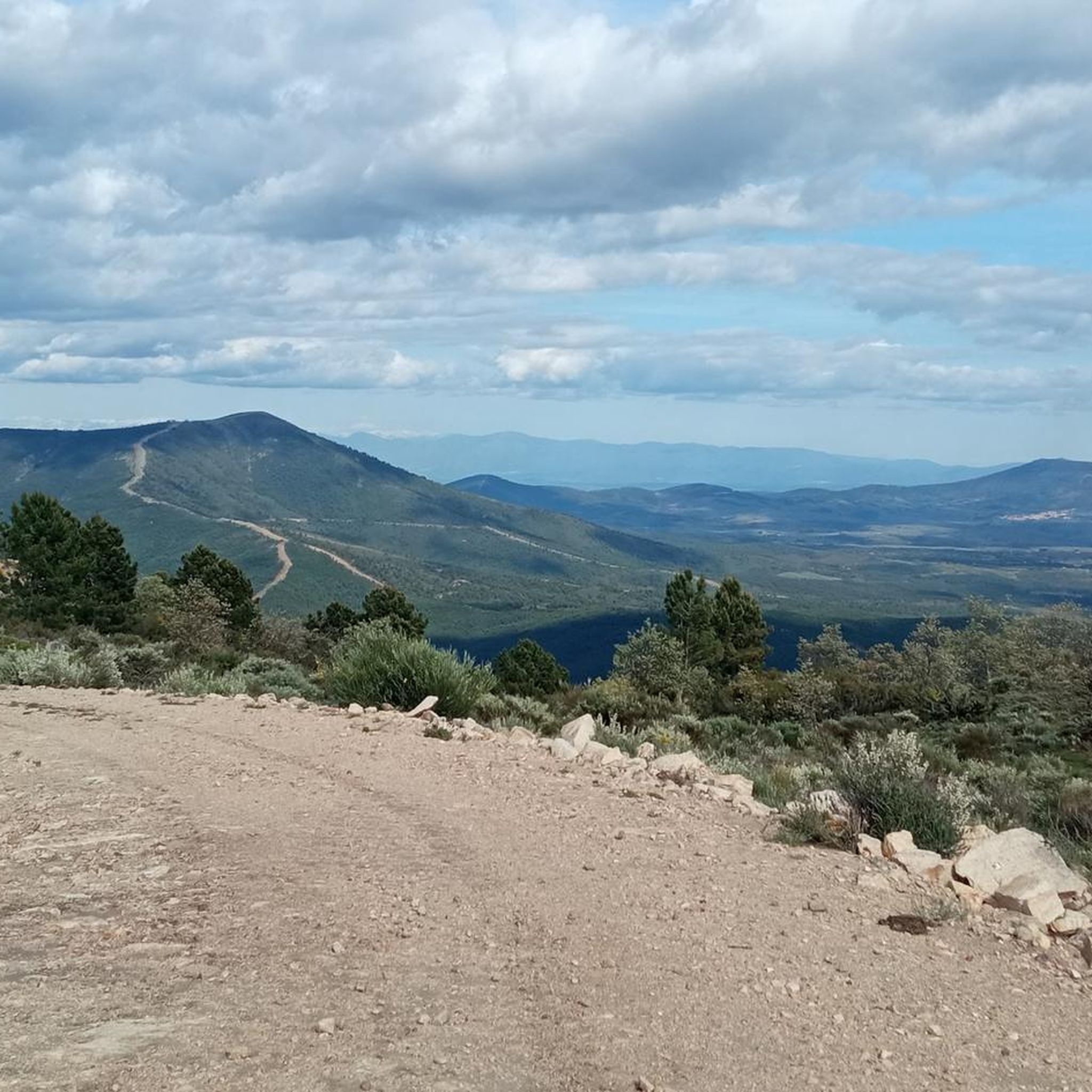
The Cruz de la Piedra pass is a mountain pass in the Sierra del Salido and also a crossroads between the highway and the forest trails and tracks that run through the mountains and connect Torre de Don Miguel and Gata, in the province. from Caceres. At its highest point there is a stone cross.
1
0

At this point you will find a Roman stone cross. It is also a high point where there are some good views. It's just off the road but worth a visit.
2
0
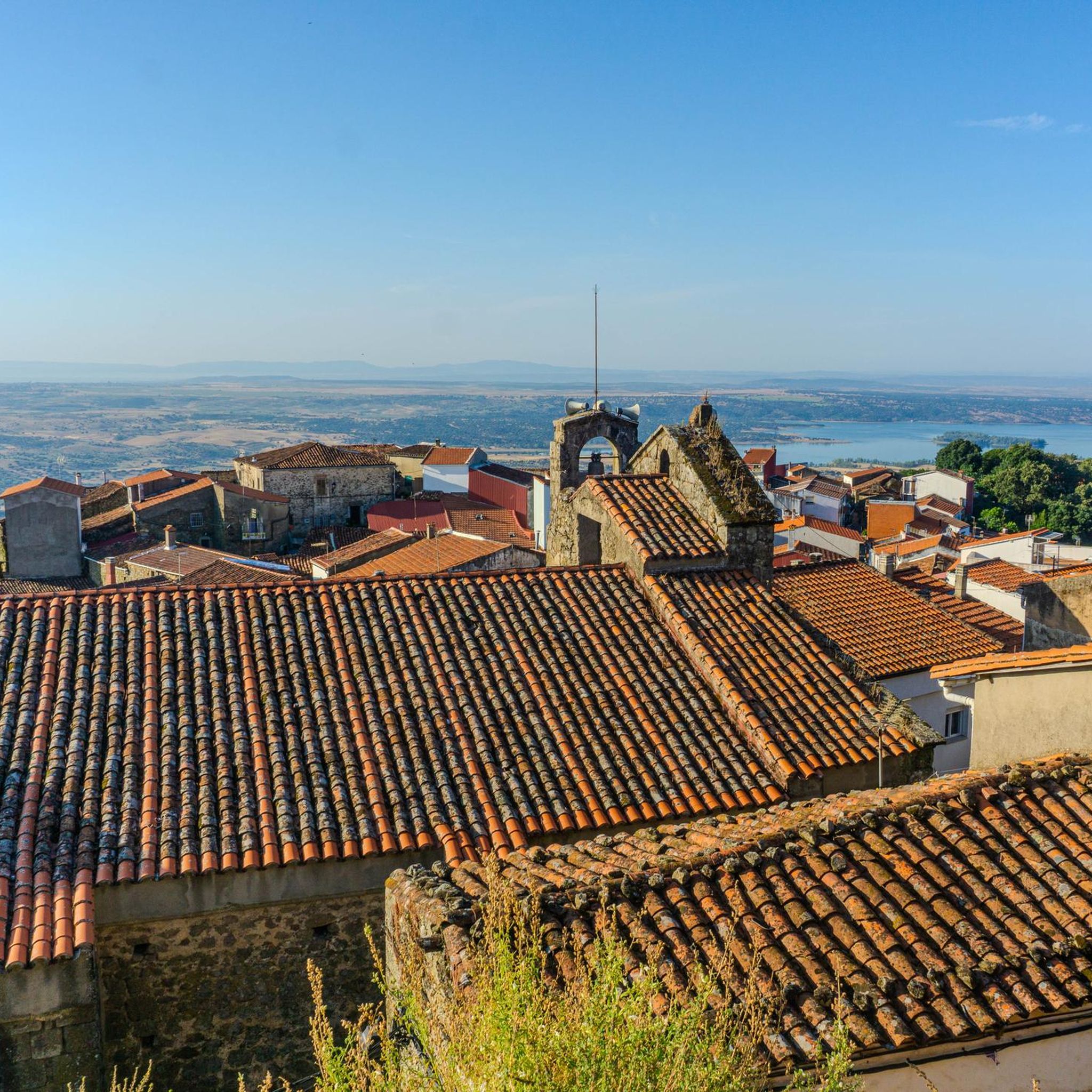
This is a beautiful little town where life slows down. It is located at the foot of the Sierra de Gata. It has charming little streets and a way of life that hasn't changed in years.
1
0
It is a beautiful waterfall that, depending on the time of year, can be almost dry or flow strongly. The trail from Ovejuela follows the river and is not too long or too steep.
2
0
Moraleja is a small town in the Sierra de Gata region on the Gata river. Here there are natural pools, shady walks and beautiful areas to explore.
1
0
The Torre de Almenara is at the top of a short steep climb. The trail can be a bit tricky at times, but it's easy to see where you're going. This small castle has been conquered and reconquered numerous times and has an interesting history.
3
0
Frequently Asked Questions
How many running routes are available around Santibáñez El Alto?
Komoot features 14 diverse running routes in the Santibáñez El Alto area. These trails vary in difficulty, offering options for all fitness levels, from easy jogs to challenging mountain runs.
Are there any easy or beginner-friendly jogging routes in Santibáñez El Alto?
Yes, there are routes suitable for beginners. While many trails offer a challenge, you can find easier options. For example, the Running loop from Moraleja is a moderate 5.4 km route with minimal elevation gain, perfect for a steady, less strenuous run.
What kind of terrain can I expect on the jogging trails in Santibáñez El Alto?
The terrain around Santibáñez El Alto is incredibly varied, ranging from narrow, winding village streets with impressive views to natural trails through lush woodlands, magnificent mountains, and flower-filled meadows. You'll encounter everything from relatively flat paths around reservoirs to significant elevation changes in mountainous areas like the Sierra de Gata.
Are there any circular running routes available?
Yes, many of the running routes in the area are circular, allowing you to start and finish at the same point. For instance, the Moraleja loop from Moraleja is a popular circular route, as is the more challenging Running loop from Gata.
What natural attractions can I see while running in Santibáñez El Alto?
The region is rich in natural beauty. You can jog near the scenic Borbollón Reservoir, a Special Protection Area for Wild Birds. There are also several natural pools like Riofrío Natural Pool and Natural Pool of Descargamaría. For impressive waterfalls, consider trails leading to the Chorrituelo Waterfall or the Chorro de los Ángeles.
Are there historical landmarks or points of interest along the running routes?
Absolutely. Santibáñez El Alto boasts historical elements that add cultural interest to your runs. The impressive Castillo de Santibáñez el Alto, an ancient Arab fortification, crowns the village and offers strategic views. You might also find ruins like the 13th-century Convent of the Angels on some trails.
What is the best time of year to go jogging in Santibáñez El Alto?
Santibáñez El Alto offers pleasant conditions for jogging for much of the year. Spring and autumn are particularly ideal, with mild temperatures and vibrant landscapes. Summers can be warm, so early morning or late evening runs are recommended. Winters are generally mild, making it possible to run year-round, though some higher elevation trails might be cooler.
Are there any dog-friendly running trails in the area?
While specific regulations for dogs on trails can vary, many natural trails in the Sierra de Gata are generally accessible for dogs, especially if kept on a leash. It's always advisable to ensure your dog is well-behaved and to carry waste bags. The diverse natural landscapes provide ample space for you and your canine companion to enjoy a run together.
Are there family-friendly options for running or walking with children?
Yes, the region offers gentler paths suitable for families. Routes with less elevation gain and through scenic areas like around the Borbollón Reservoir or near natural pools can be enjoyable for families. Look for trails described as 'easy' or 'moderate' for a more relaxed experience with children.
Is parking available near the trailheads for running routes?
Parking availability can vary depending on the specific trailhead. In Santibáñez El Alto and surrounding villages, you can typically find street parking or designated areas. For routes starting from smaller hamlets or more remote locations, it's recommended to check local information or maps for parking options beforehand.
What is the longest running route available in this guide?
The longest route featured is the Running loop from Torre de Don Miguel, which spans 14.9 km (9.3 miles). This difficult route involves significant elevation changes, making it a challenging and rewarding experience for experienced runners.
What makes the running experience in Santibáñez El Alto unique?
The unique blend of natural beauty and historical intrigue sets Santibáñez El Alto apart. Runners can enjoy diverse landscapes from lush woodlands to mountainous terrain, often with breathtaking views of the Serragatina region. The opportunity to pass by ancient castles, natural pools, and impressive waterfalls while exercising provides a truly immersive and memorable experience.
Most popular attractions around Santibáñez El Alto

Get inspired with the komoot mobile app


Explore more
Browse the best Running Trails & Routes in other regions.
