The best road cycling routes around Erro
4.3
(35)
2,277
riders
25
rides
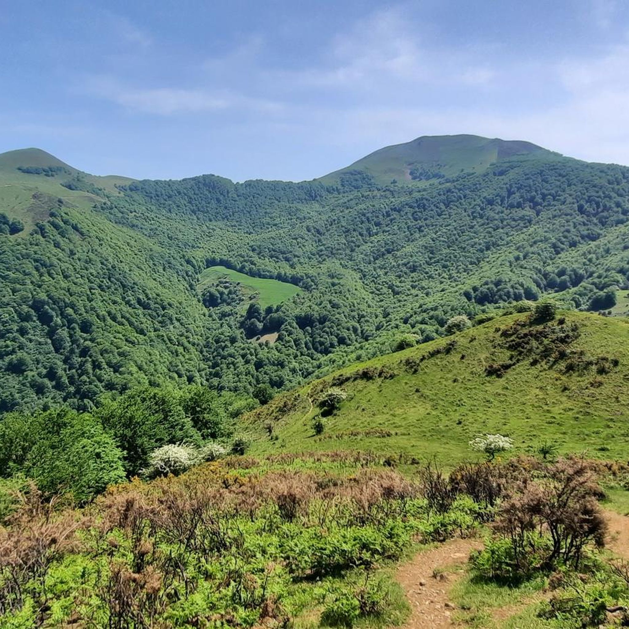
Road cycling routes around Erro are situated in the Pyrenees of Navarra, Spain, characterized by mountainous terrain and lush valleys. The region features the Erro and Esteribar valleys, connected by the N-135 regional road, which provides well-maintained surfaces for cycling. Ancient woodlands of oaks, birches, and pines line many paths, offering scenic beauty. The area is known for challenging climbs, including the ascent to Alto de Erro, making it a destination for road cyclists seeking elevation gain.
Best road cycling…
Last updated: October 19, 2026
4.8
(5)
87
riders
80.4km
04:49
1,940m
1,940m
Hard road ride. Very good fitness required. Some segments of this route may be unpaved and difficult to ride.
4.0
(1)
5
riders
46.8km
03:14
1,250m
1,250m
Hard road ride. Very good fitness required. Some segments of this route may be unpaved and difficult to ride.

4.4
(9)
711
riders
88.0km
04:35
1,080m
1,080m
Hard road ride. Very good fitness required. Some segments of this route may be unpaved and difficult to ride.
195
riders
75.7km
04:24
1,490m
1,490m
Hard road ride. Very good fitness required. Mostly well-paved surfaces and easy to ride.
5.0
(1)
67
riders
97.5km
05:18
1,790m
1,790m
Hard road ride. Very good fitness required. Mostly well-paved surfaces and easy to ride.
Get access to more routes and recommendations from other explorers.
Already have an account?
Our route recommendations are based on thousands of hikes, rides, and runs completed by other people on komoot.
Start today with a free account
Your next adventure awaits.
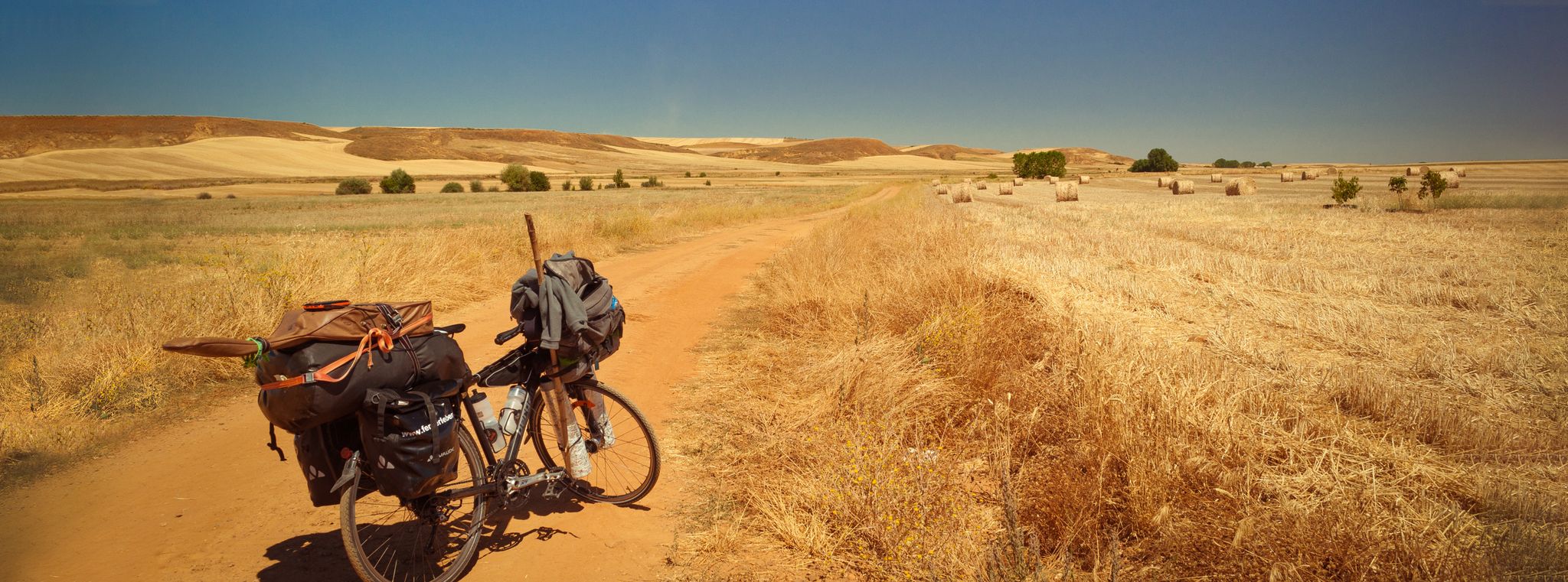
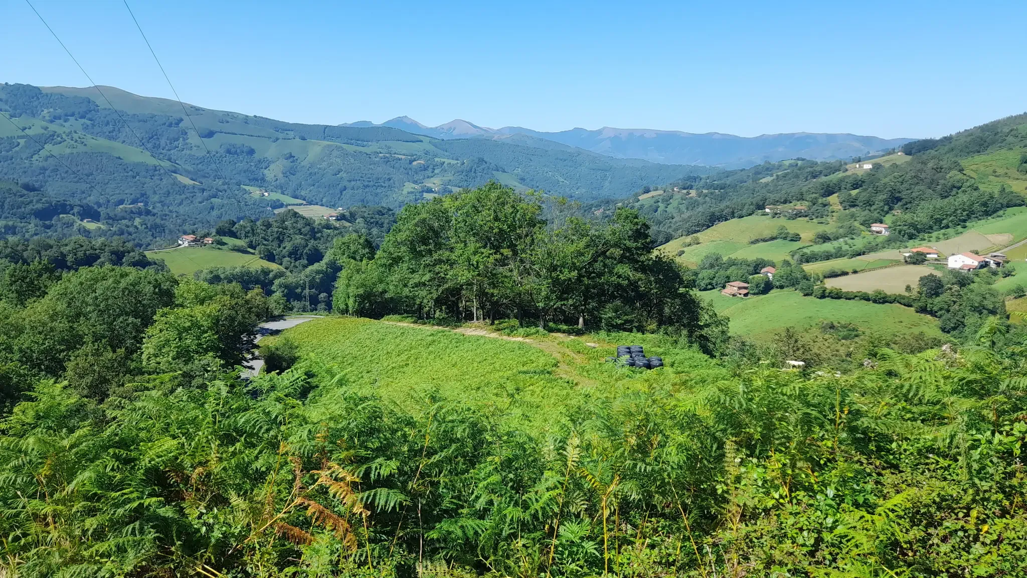
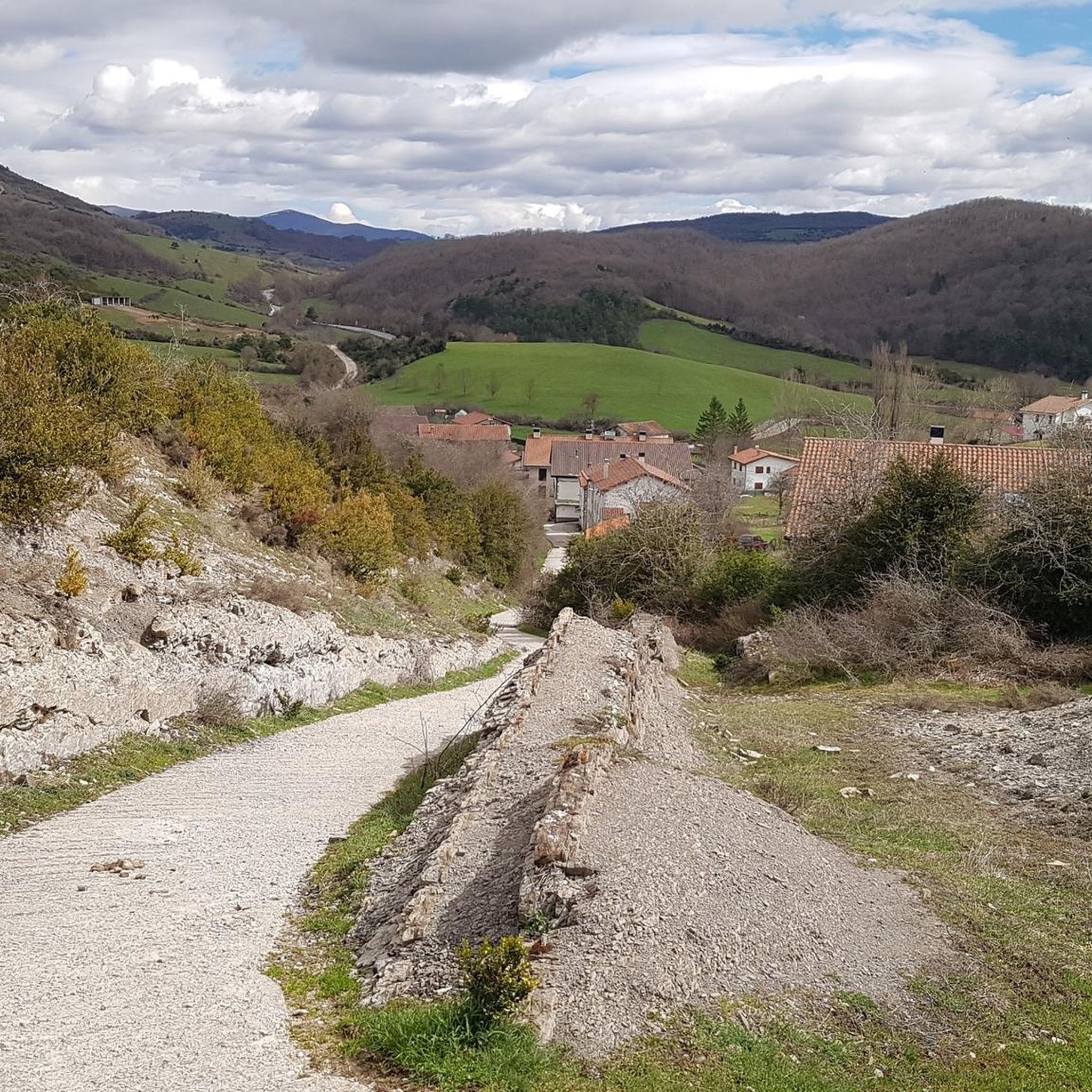



Tips from the Community

One of the most beautiful `villages in Navarra with its stone houses, cobbled streets, and medieval bridges. It is a village that due to its location we can consider as the gateway to explore the Selva de Irati.
1
0

Reaching Roncesvalles meant the luxury of sleeping in a real bed at the famous pilgrim hostel (albergue de peregrinos). Marking the end of the legendary first stage of the Camino Francés from Saint-Jean-Pied-de-Port into Spain, this impressive, well-organized facility is wonderfully run by Dutch volunteers. Since there is no grocery store in Roncesvalles itself, a necessary 5 km round-trip walk was required to stock up, loading down my backpack with enough supplies for 5 breakfasts, 7 lunches, and 5 dinners for the demanding days ahead.
2
0
At the foot of the Pyrenees on the Spanish side of the border, Roncesvalles is one of the most iconic and historic stops on the entire Camino de Santiago. Famous for its magnificent 13th-century Royal Colegiata of Saint Mary, this small hamlet has welcomed weary pilgrims and hikers for centuries after their demanding trek over the mountain pass from Saint-Jean-Pied-de-Port. Beyond its rich medieval history and legendary link to the Song of Roland, Roncesvalles offers essential comforts for travelers today, including pilgrim hostels, warm meals, and a deeply atmospheric sanctuary where you can rest, reflect, and prepare for the road ahead.
2
0
Les Aldudes is a very nice, remote little village tucked away in the Basque hills. It is a beautiful spot with a fiercely strong Basque identity, in fact, a waitress at the local bar quickly made it clear that speaking Spanish was out of the question, and that English was much preferred! For hikers and backpackers, the local community has set up some fantastic, welcoming facilities: Free Camping: Just behind the gas station, there is an open clearing that the town has officially designated as a free campsite. Showers & Restrooms: You can find very convenient toilets and showers located in the building right next to the church. Drinking Water: There is a reliable potable water fountain located in the main town square to easily refill your bottles. If you are tired of cooking your own trail rations, the village's single restaurant is very welcoming and the perfect place to sit down for a hot meal. It is an incredibly authentic and convenient stop along the trail!
1
0

Orreaga-Roncesvalles preserves the memory of heroic songs, ancient paths, and exhausted pilgrims on the way to Compostela. Kings who built hospitals, churches, monasteries, and chapels, innkeepers for whom welcoming strangers was and is sacred, and the love for their Holy Virgin, their brotherhood, and their pilgrims and their many crosses. Since the 10th century, Roncesvalles has been a place where pilgrims on the Camino de Santiago to Santiago de Compostela can rest after their arduous ascent. Santa María de Roncesvalles is above all a place for spirituality and pilgrimage. Pilgrim masses, pilgrimages, Brotherhood of Nuestra Señora. At the 1057m high Puerto Roncesvalles pass, Augustinians founded the Colegiata de Roncesvalles abbey in 1130. As early as 778, a battle took place here between the Franks under Charlemagne and the Basques. The warrior Roland was killed, and the Song of Roland was created.
0
0

Even if you don't plan or have the ability to walk the entire Camino Frances, the stage that reaches Roncesvalles is a must for the beauty of the landscapes and the evocative atmosphere it offers, especially when—descending from the Ibañeta Pass—the boundless Spanish landscape suddenly opens up before your eyes in the golden light of sunset. It's a magical moment, ideally shared with other pilgrims and then enhanced with a visit to the Collegiate Church. The stamp on the Credencial is also beautiful.
1
0

Don't miss a visit to the Pilgrims' Hospital and the Collegiate Church of Santa María. Also, learn about the history of Roncesvalles, as it's very interesting.
0
0

The gas station shop is a full resupply if needed. They have ziplocks, toothbrushes, plenty of food, good cheeses and drinks. They have french canister fuel and are very friendly.
0
0
Frequently Asked Questions
How many road cycling routes are available around Erro?
Erro offers a diverse selection of over 20 road cycling routes. These routes primarily cater to moderate and difficult skill levels, with 8 moderate and 13 difficult options available for exploration.
What is the best time of year for road cycling in Erro?
The Pyrenean region around Erro is generally best for road cycling from late spring through early autumn. During these months, the weather is typically more stable, and mountain passes are clear of snow, offering ideal conditions to enjoy the challenging climbs and scenic landscapes.
Are there routes suitable for advanced road cyclists in Erro?
Yes, Erro is well-suited for advanced road cyclists, with 13 routes classified as difficult. These routes feature significant elevation gains and demanding climbs, such as the ascent to Alto de Erro. An example is the Roncesvalles-Col de Orgambide (FR) – western loop through the Sierra de Irati, a 80.4 km route with over 1900 meters of elevation gain.
Are there any loop road bike routes around Erro?
Many of the road cycling routes in Erro are designed as loops, allowing cyclists to start and finish in the same location. For instance, the Alto de Erro Ascent – Rabia Bridge, Zubiri loop from Aurizberri is an 88.1 km loop that takes you through the Alto de Erro mountain pass.
What are the typical lengths and elevations for road cycling routes in Erro?
Road cycling routes in Erro vary significantly in length and elevation, reflecting the mountainous Pyrenean terrain. You can expect routes ranging from approximately 45 km to nearly 100 km, with elevation gains often exceeding 1000 meters. For example, the Ochagavía – Laza Pass (1,129 m) loop from Aurizberri is 97.5 km long with almost 1800 meters of ascent.
What scenic viewpoints can I find along road cycling routes in Erro?
The region around Erro is renowned for its panoramic views, especially from mountain passes. The Erro Pass itself offers stunning vistas of the surrounding Pyrenees and the lush Erro valley. Other notable passes like Ibañeta Pass also provide excellent viewpoints.
Are there any historical landmarks or points of interest to explore while road cycling in Erro?
Yes, Erro is steeped in history, particularly due to its location on the Camino de Santiago (French Way). Cyclists can encounter historical sites such as the Roland Monument near Ibañeta Pass, which commemorates the legendary French hero. The Roland Fountain is another historical point of interest.
Are there any cafes or places to stop for refreshments along the road cycling routes in Erro?
While specific cafes are not listed for every route, the N-135 regional road connects towns like Erro and Zubiri, where you can typically find amenities for refreshments. Given the region's popularity with cyclists and pilgrims on the Camino de Santiago, small villages along the routes often provide opportunities for a break.
Is public transport available to access road cycling routes near Erro?
Erro is located in a rural, mountainous region. While local bus services might connect some towns, direct public transport specifically tailored for accessing remote cycling route starting points may be limited. It's advisable to check local transport schedules for the specific towns you plan to visit, such as those along the N-135 road.
What are the parking options for road cyclists in Erro?
Parking for road cyclists is generally available in the towns and villages surrounding Erro, such as Aurizberri, Roncesvalles, or Zubiri, which serve as common starting points for routes. Look for public parking areas within these communities.
What do other road cyclists enjoy most about road cycling in Erro?
The road cycling experience in Erro is highly rated by the komoot community, with an average score of 4.96 stars from over 14 reviews. Cyclists frequently praise the challenging Pyrenean mountain passes, the stunning ancient woodlands, and the diverse terrain of the Erro and Esteribar valleys.
How challenging are the climbs in Erro for road cyclists?
The climbs in Erro are a defining feature of the region's road cycling. The ascent to Alto de Erro, for example, presents a moderate but rewarding challenge with an average gradient of around 4.9% over 2.9 kilometers. Many routes include significant elevation gains, making them suitable for cyclists seeking a demanding ride.
Are there any less strenuous road cycling options for beginners in Erro?
While Erro is known for its challenging Pyrenean terrain, offering 13 difficult and 8 moderate routes, options specifically designed for beginners are limited. The region's focus is on routes with notable elevation gain. Cyclists new to the area might consider shorter sections of the moderate routes or routes in flatter nearby valleys if available.
Most popular attractions around Erro

Get inspired with the komoot mobile app


Explore more
Browse the best Road cycling routes in other regions.
