The best running trails around Erro
5.0
(9)
345
runners
13
runs
Jogging around Erro offers routes through a landscape characterized by significant elevation changes and varied terrain. The region features numerous hills and higher summits, with several routes ascending to over 200 meters. Runners can expect undulating paths that traverse natural areas, providing a challenging experience for those seeking elevation gain.
Best jogging routes around Erro
- The most popular jogging route is Adi loop from Urkiagako lepoa, a 5.6 miles (9.1 km) trail that takes 1 hour 35 minutes to…
Last updated: July 5, 2026
6
runners
10.3km
01:51
610m
610m
Hard run. Very good fitness required. Sure-footedness, sturdy shoes and alpine experience required.
5
runners
5.36km
00:47
260m
260m
Moderate run. Good fitness required. Mostly paved surfaces. Suitable for all skill levels.

Sign up for free
5
runners
12.6km
02:19
710m
710m
Hard run. Very good fitness required. Sure-footedness, sturdy shoes and alpine experience required.
5.0
(1)
3
runners
8.74km
00:59
110m
110m
Moderate run. Good fitness required. Mostly paved surfaces. Suitable for all skill levels.
4
runners
11.6km
01:17
110m
110m
Moderate run. Good fitness required. Mostly paved surfaces. Suitable for all skill levels.
Get access to more routes and recommendations from other explorers.
Sign up for free
Already have an account?
Our route recommendations are based on thousands of hikes, rides, and runs completed by other people on komoot.
Start today with a free account
Your next adventure awaits.
Login or Signup



Tips from the Community

Hemmingway loved this place.
0
0

One of the best discoveries this year. I was really looking forward to visiting this area of the Pyrenees, and it has clearly exceeded my expectations. In addition, it was a beautiful day, with sun and good temperature. I couldn't ask for more. Sorogain is a border crossing with 2 very different sides. The Spanish side is flat and enjoyable, crossing a beech forest, following the course of a stream and opening up the majestic valley in the final part, surrounded by horses and sheep. It is approximately 8km with an average gradient of 3%, with the last 2km being harder and with irregular slopes. The French side is also spectacular but much harder. It is also 8km but with an average gradient of 8% and peaks of 18%. There are several km with an average gradient of over 10%, and the final slope is 500m at 15%!!! The views of the Urepel valley are wonderful. The road on both sides is in perfect condition, although it is very narrow and you have to be careful with the few cars there are.
0
0

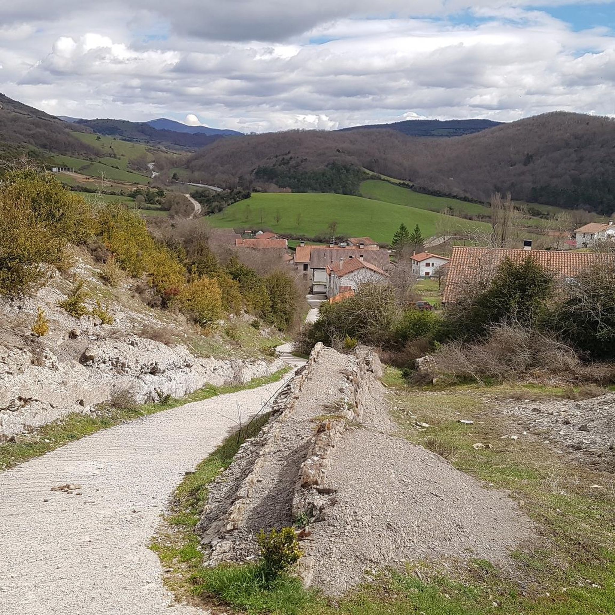
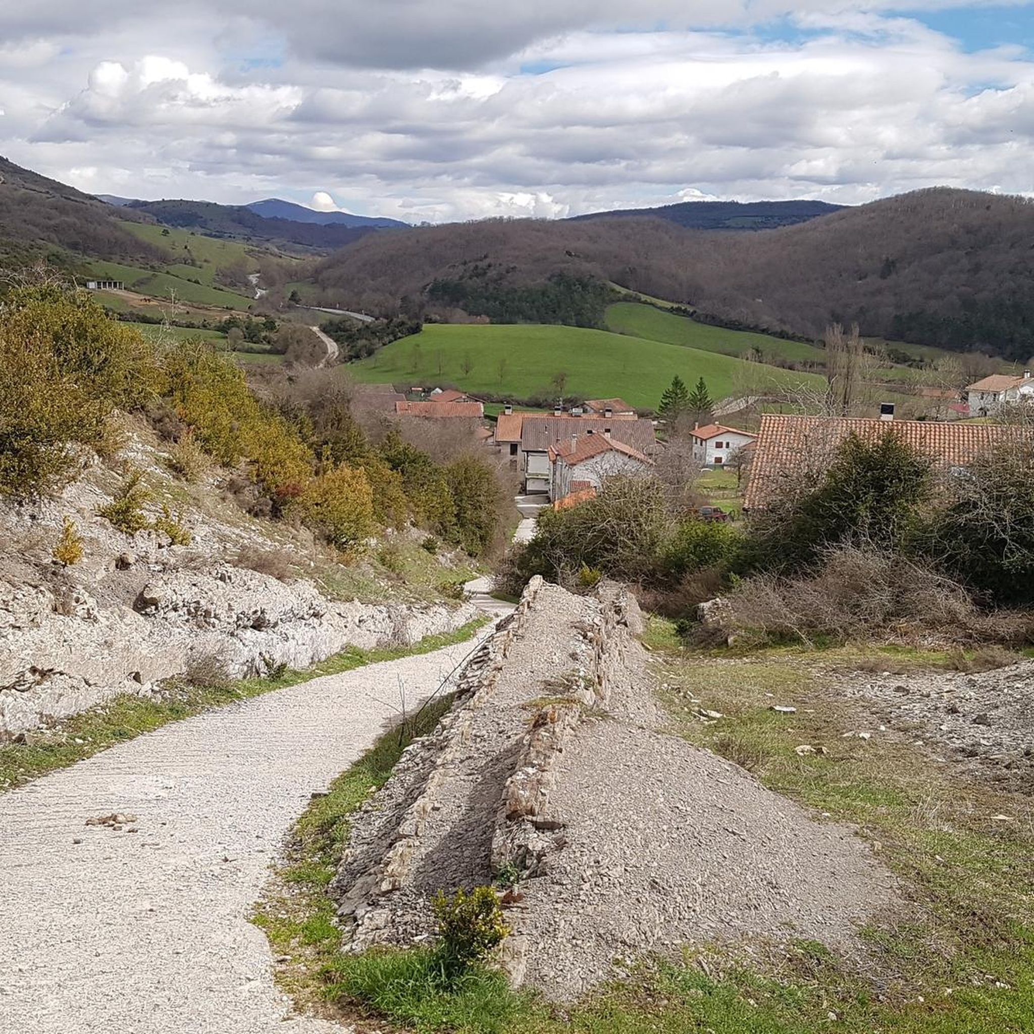
Aurizberri, also known as Espinal, is a charming village in the region of Navarra. It is located in the municipality of Erro, in the picturesque Merindad de Sangüesa, and is part of the Auñamendi region. This village was founded in 1269 by Theobald II and is strategically located between the historic towns of Roncesvalles and Gerendiain. Aurizberri/Espinal is a popular stop for pilgrims following the Camino de Santiago, thanks to its location on the famous pilgrimage route that runs through the Pyrenees. The village is surrounded by beautiful countryside known for its rich flora and fauna, including trout and a variety of mushrooms, which play an important role in the local gastronomy.
1
0

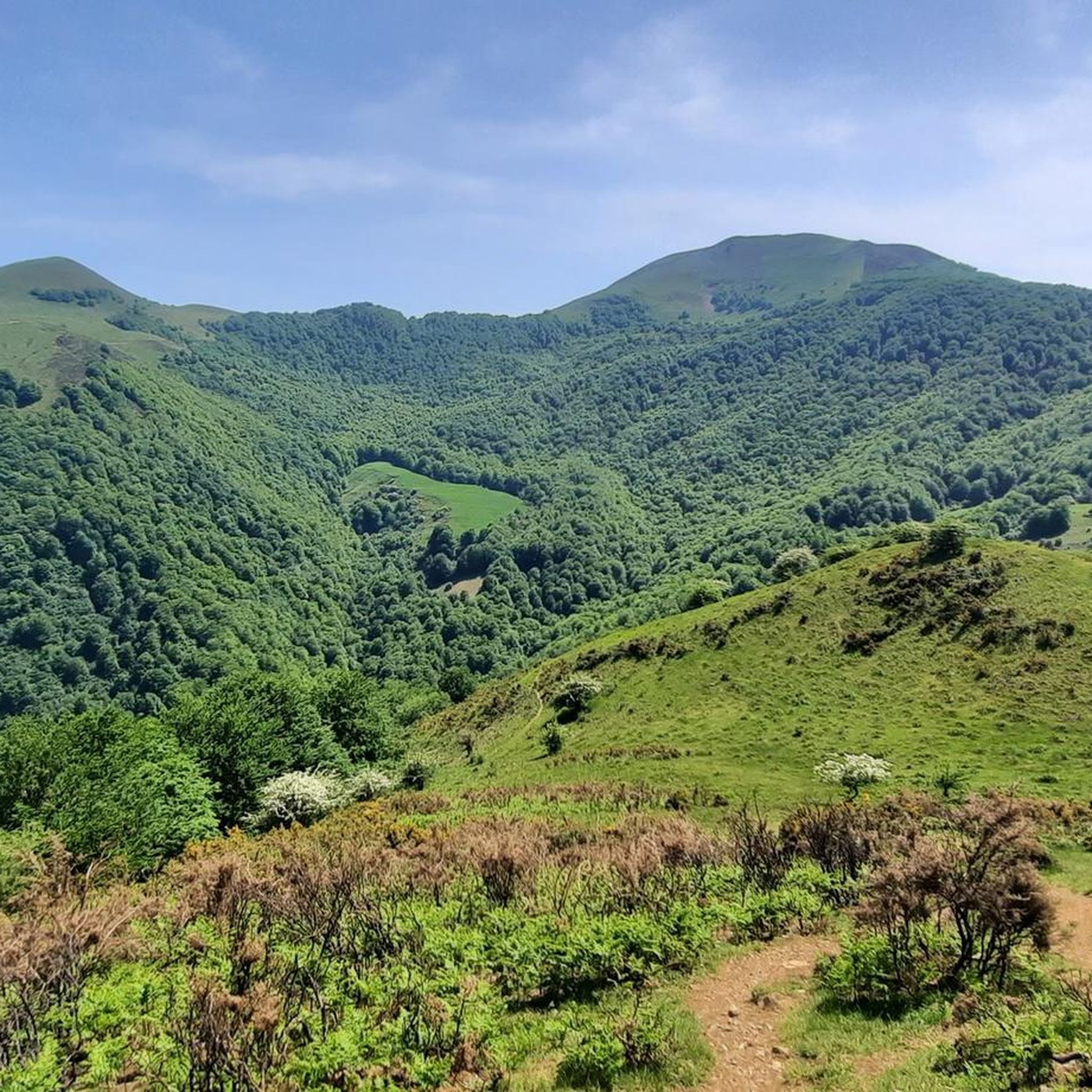
Typical Basque mountain. Green, with a round top and unbeatable panoramic views
1
0
In February it is closed but it has tables and recreation areas around it. Also garbage containers to recycle. It is a crossroads of several GR trails so it is very well located
0
0

The red and white milestones perfectly mark the path on the steep mountainside and reach a small pass on the rope. The summit is on the left, past the fence of wooden posts that runs along the summit meadows. The vertex is in ruins, we did not see the mailbox with an ax that was on the pedestal, in any case the views of the western Pyrenees are fantastic, the “sentinel” of Quinto Real chose the best place to monitor these contours of forests, rivers and legendary mountains. The trail descends from the summit along the southeast spur. The GR-322 Nafarroa Extrem continues towards the northwest towards the port of Urkiaga, connecting with the GR-11 Senda Pirinaica and GR-12 Sendero de Esuskal Herria trails.
0
0

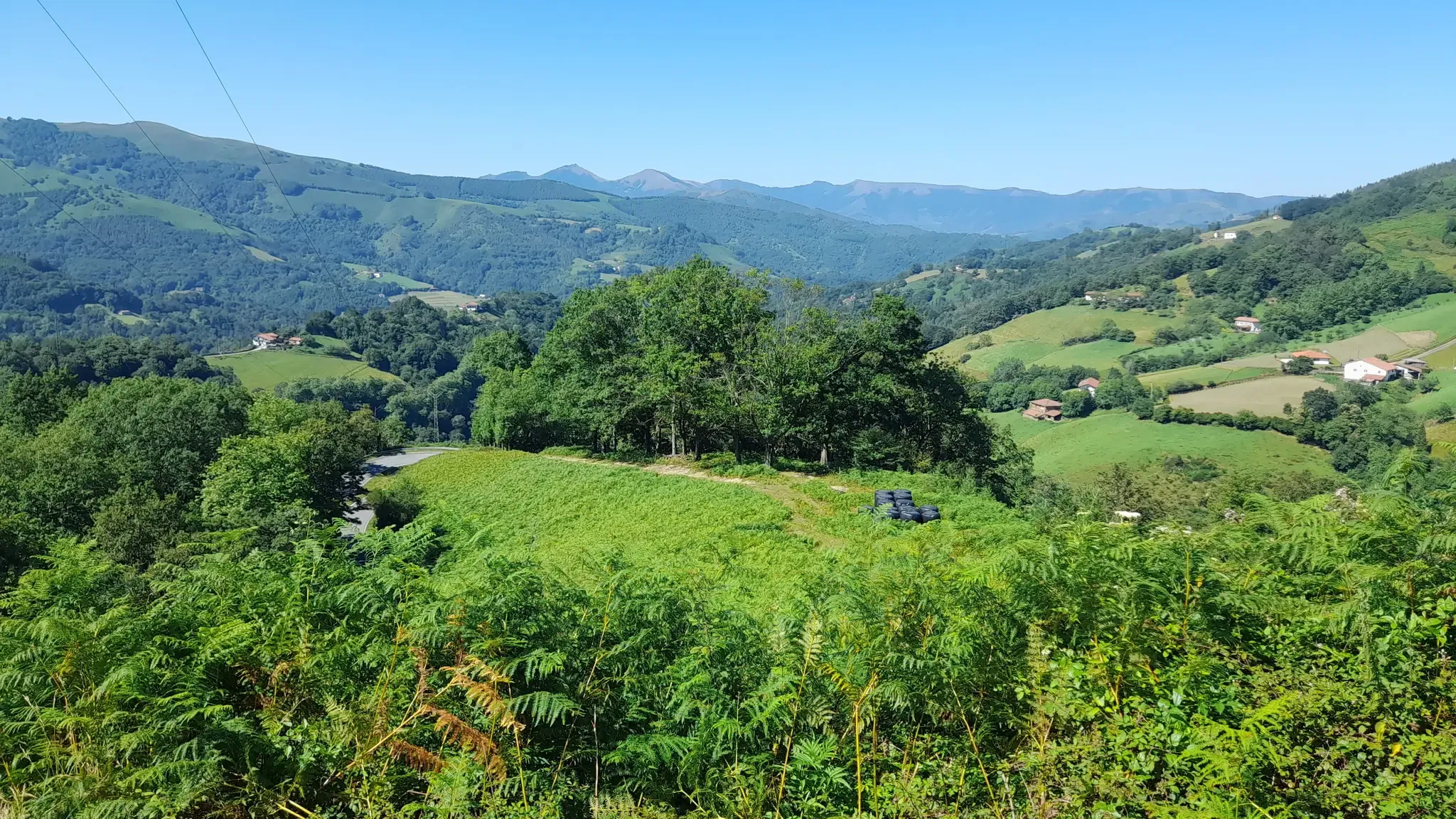
The Sorogain pass is located on the heights of the Aldudes valley in the Spanish Basque Country, not far from the border with France.
1
0
The Adi or “Ahadi” in Basque is the highest point of the Aldudes valley. Located at 1,457 meters, it is located in the Spanish Basque Country.
1
0
Frequently Asked Questions
How many running trails are available in the Erro region?
There are over 10 dedicated running routes around Erro, offering a variety of experiences for different skill levels. The komoot community has explored 14 routes in total.
What is the overall difficulty level of running routes around Erro?
The running routes in Erro are primarily categorized as moderate to difficult. There are 6 moderate routes and 8 difficult routes, with no easy routes listed, indicating a focus on more challenging terrain with significant elevation changes.
What kind of terrain can I expect on the running trails in Erro?
Runners in Erro can expect a landscape characterized by significant elevation changes and varied terrain. The region features numerous hills and higher summits, with many routes ascending to over 200 meters. Paths are often undulating and traverse natural areas, providing a challenging experience.
Are there many circular running routes or loops in Erro?
Yes, several running routes in Erro are designed as loops. For example, the Running loop from Aurizberri is a popular option, as is the longer Aurizberri/Espinal loop from Aurizberri.
What do other runners think about the trails in Erro?
The running routes in Erro are highly rated by the komoot community, with an average score of 4.4 stars from 9 reviews. Over 300 runners have used komoot to explore the varied terrain, often praising the challenging ascents and natural beauty.
Are there any interesting landmarks or attractions near the running trails in Erro?
Yes, the Erro region is rich in historical and natural landmarks. You can find attractions such as the Rabies Bridge, the historic Roncesvalles Collegiate Church, and the scenic Ibañeta Pass and the Roland Monument. Many routes offer views of these points of interest.
Which running routes in Erro offer significant elevation gain?
For runners seeking significant elevation gain, the Adi loop from Urkiagako lepoa features over 548 meters of ascent. Another challenging option is the Adi Summit – Sorogain Pass loop from Sorogain-Lastur, which includes over 713 meters of climbing.
Are there any longer, more challenging running routes in Erro?
For a longer and more challenging experience, consider the Adi Summit – Sorogain Pass loop from Sorogain-Lastur, which spans 12.6 kilometers and is rated as difficult. This route offers substantial elevation gain and expansive views.
What are some of the prominent peaks or summits accessible via running trails in Erro?
The Erro region is known for its peaks. Runners can access summits like Hargibel and Mendiaundi Summit. The Sorogain Hostel – Adi Summit loop from Sorogain-Lastur specifically includes an ascent to Adi Summit, offering rewarding views.
Are there any running routes that pass through the Ibañeta Pass area?
Yes, the Ibañeta Pass is a significant feature in the region. While specific running routes directly through it aren't detailed, the pass itself (Ibañeta Pass and the Roland Monument) is a notable landmark and a common point of interest in the area, suggesting trails nearby or with views of it.
What is a good running route for a moderate workout in Erro?
For a moderate workout, the Running loop from Aurizberri is a great choice. It's 5.4 kilometers long with a moderate difficulty rating, typically completed in about 46 minutes, offering a good balance of distance and elevation.
Most popular attractions around Erro

Get inspired with the komoot mobile app


Explore more
Browse the best Running Trails & Routes in other regions.
