The best running trails around Artenara
4.7
(83)
4,220
runners
16
runs
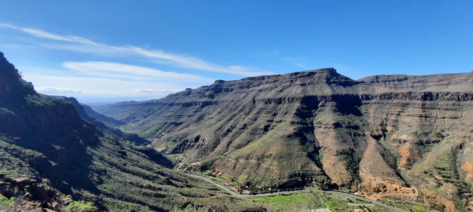
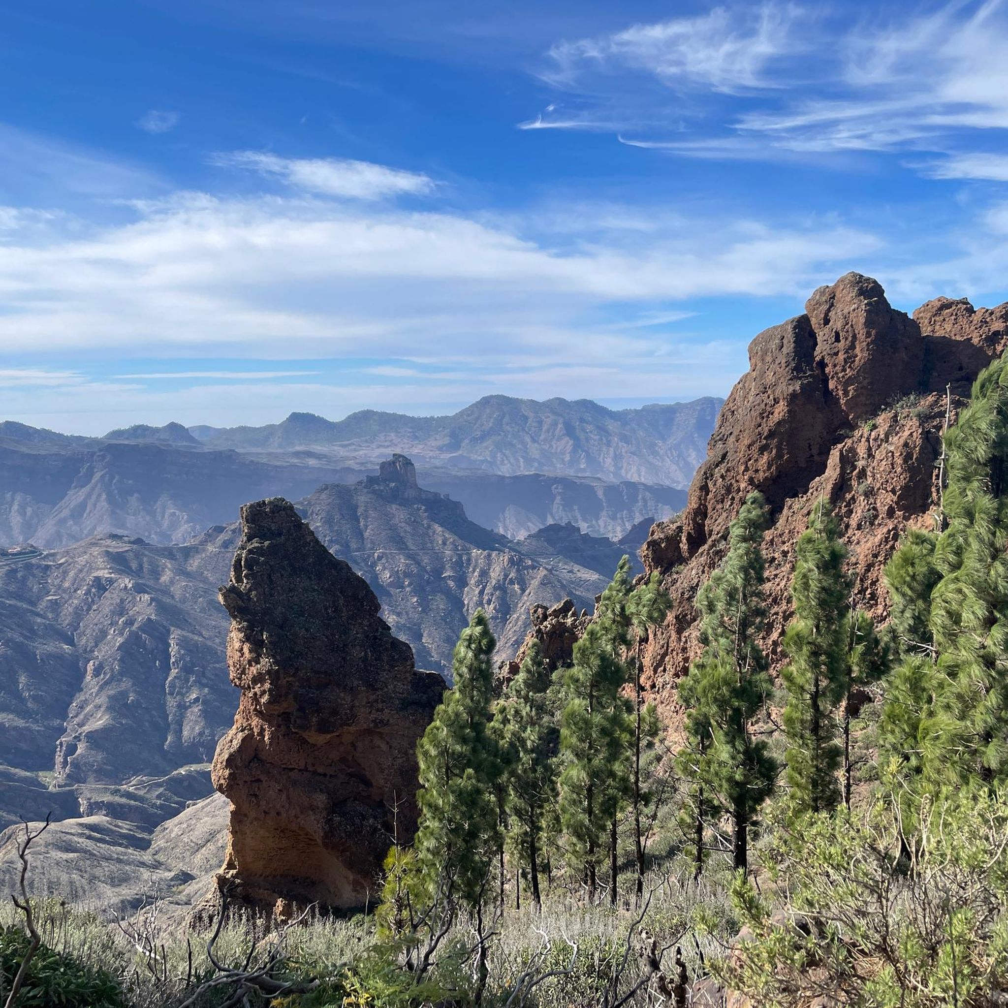
Jogging routes around Artenara offer exploration of Gran Canaria's highest village, situated within a World Biosphere Reserve. The region is characterized by dramatic topography, including rugged ridges, deep valleys, and the vast Caldera de Tejeda basin. Runners encounter extensive Canary Island pine forests, particularly within Tamadaba Natural Park, providing varied terrain and significant elevation changes.
Best jogging routes around Artenara
- The most popular jogging route is Pico de la Bandera loop from Artenara, a 12.5 miles (20.1 km) trail…
Last updated: August 28, 2026
66
runners
15.0km
02:17
900m
900m
Hard run. Very good fitness required. Mostly accessible paths. Some sure footedness required.
5.0
(1)
58
runners
16.1km
02:12
650m
650m
Hard run. Very good fitness required. Sure-footedness, sturdy shoes and alpine experience required.

Sign up for free
58
runners
11.3km
01:45
660m
660m
Hard run. Very good fitness required. Mostly accessible paths. Some sure footedness required.
22
runners
10.9km
01:43
620m
620m
Hard run. Very good fitness required. Mostly accessible paths. Some sure footedness required.
18
runners
20.3km
02:58
1,030m
1,030m
Hard run. Very good fitness required. Sure-footedness, sturdy shoes and alpine experience required.
Get access to more routes and recommendations from other explorers.
Sign up for free
Already have an account?
Our route recommendations are based on thousands of hikes, rides, and runs completed by other people on komoot.
Start today with a free account
Your next adventure awaits.
Login or Signup





Tips from the Community

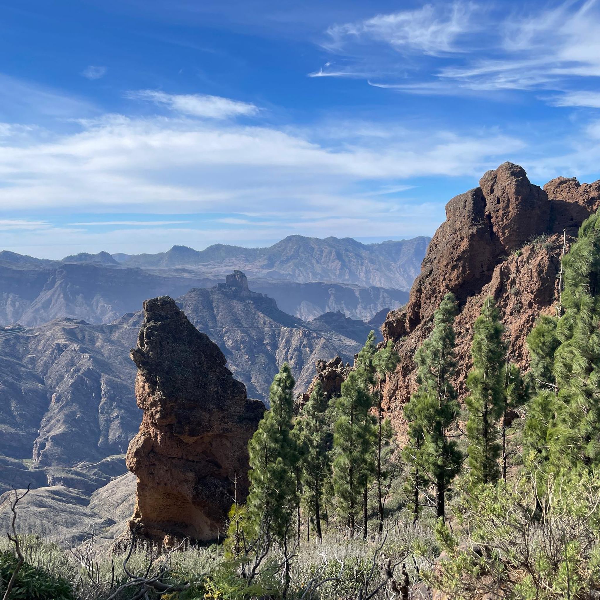
The Tamadaba pine forest is one of the best-preserved Canary pine forests. It is protected by the Tamadaba Natural Park, one of the best-preserved natural areas of Gran Canaria. It is also part of an area designated as a UNESCO Biosphere Reserve.
0
0
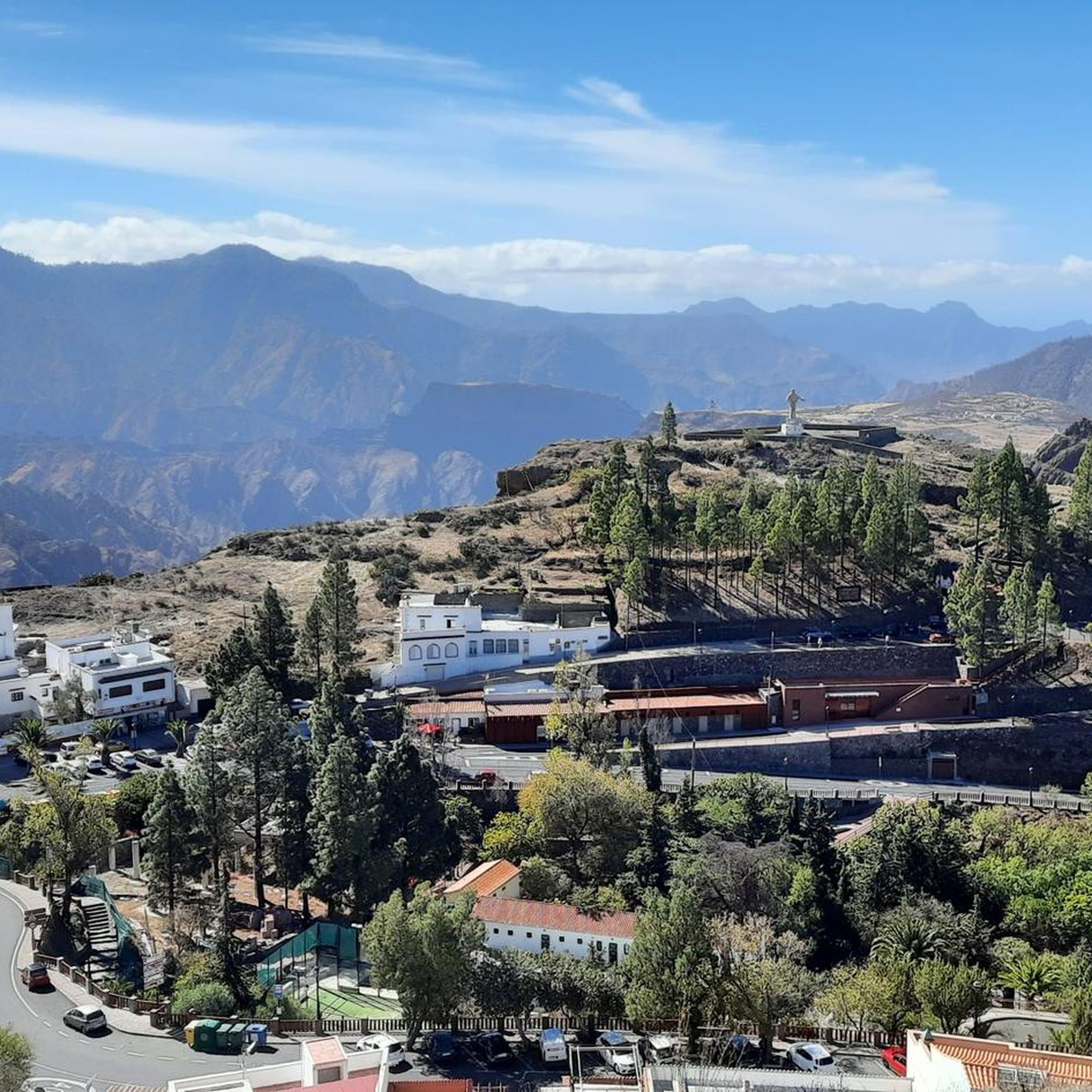
This superb viewpoint offers you an immense panorama of the heart of Gran Canaria. You will find many amenities around to eat, refill your water bottles, and use the toilets. Enjoy!
0
0

Above the place where the caves are located, following the main path west and going up to the left, you can enjoy these wonderful views and the entire pine forest that surrounds you.
0
0
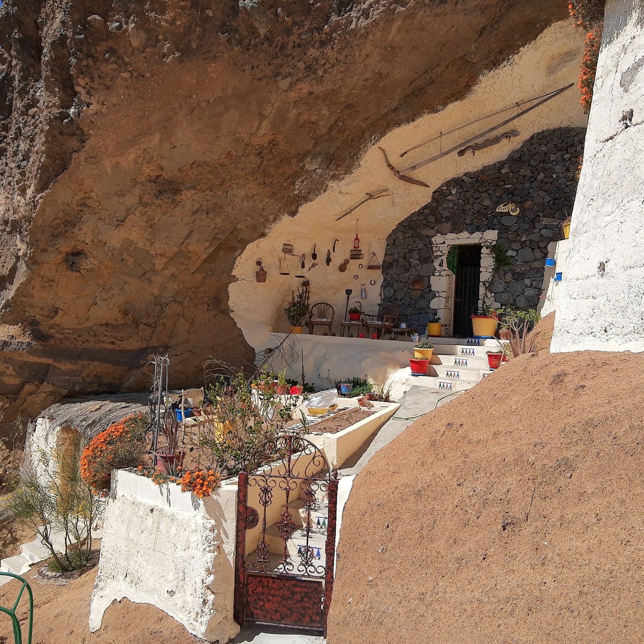
They are an archaeological complex made up of twelve natural caves, most of which were adapted to be habitable through their chiseling. These caves are distributed along a south-facing platform, which protects them from the northern trade winds and offers beautiful views over the Bentayga and the Cuenca del Nublo.
0
0

Very beautiful place and a perfect start for many hikes. However, the gastronomy closes already at 6 p.m. (Dec 24 / Jan 25)
0
0

From here you can go hiking, there is a public car park nearby. Locals offer various delicacies😊
1
0

The ascent to the summit leads through romantic pine forests on well-developed paths. Highly recommended if you want to travel north on Gran Canaria.
1
0

There are two reservoirs that currently have little water.
0
0
Frequently Asked Questions
How many running routes are available around Artenara?
Artenara offers a diverse network of over 10 dedicated running routes. These trails cater to various fitness levels, with options ranging from moderate to difficult, providing ample opportunities to explore the region's stunning landscapes.
What makes jogging in Artenara a unique experience?
Jogging in Artenara is unique due to its location within a World Biosphere Reserve, offering breathtaking views of iconic landmarks like Roque Nublo and Roque Bentayga. The region features dramatic topography, extensive Canary Island pine forests within Tamadaba Natural Park, and significant elevation changes, providing a challenging and rewarding environment for runners.
What are the typical difficulty levels for running trails in Artenara?
The running trails around Artenara are generally categorized as moderate to difficult. There are 3 moderate routes and 8 difficult routes, characterized by high-altitude terrain, extensive pine forests, and dramatic volcanic caldera walls, making them suitable for runners seeking a challenge.
Are there any circular running routes in Artenara?
Yes, many of the running routes in Artenara are circular, allowing you to start and finish in the same location. For example, the View of three highlights loop from Degollada del Sargento is a difficult 9.9 km circular route that offers stunning vistas.
What natural landmarks or viewpoints can I expect to see while running in Artenara?
While running in Artenara, you can encounter spectacular natural landmarks and viewpoints. You might see the majestic Roque Nublo, the highest point of Pico de las Nieves summit, or the serene Los Hornos Dam. Many trails also pass through the beautiful Canary Pine Forest near Roque Nublo and offer panoramic views from various miradors.
Are there any historical or cultural sites along the running paths?
Yes, many trails in Artenara are integrated with cultural and historical points of interest. You can encounter ancient cave houses, archaeological sites like the Ethnographic Museum of the Cave Houses, and the Acusa Archaeological Complex, offering glimpses into the traditional way of life of the indigenous inhabitants.
Are there running routes suitable for families in Artenara?
While many routes in Artenara are moderate to difficult due to significant elevation changes, some shorter, less strenuous sections might be suitable for families with older children who are accustomed to outdoor activities. Always check the route details for distance and elevation before heading out.
Can I bring my dog on the running trails in Artenara?
Gran Canaria generally welcomes dogs on trails, but it's always best to check local regulations for specific areas, especially within natural parks or protected zones. Ensure your dog is well-behaved, kept on a leash, and that you carry waste bags to maintain the pristine environment.
Are there options for parking near the running trailheads?
Yes, Artenara, being a hub for outdoor activities, typically offers parking options near popular trailheads and within the village itself. It's advisable to arrive early, especially during peak seasons, to secure a spot.
How can I reach the running routes around Artenara using public transport?
Artenara is accessible by public transport, primarily bus services from larger towns on Gran Canaria. Once in Artenara, many running routes start directly from the village or are a short walk away. Check local bus schedules for the most up-to-date information on routes and timings.
What is the best time of year to go running in Artenara?
The best time for running in Artenara is generally during the cooler months, from autumn to spring (October to May), when temperatures are more moderate. Summer can be quite hot, especially at lower elevations, so early morning or late afternoon runs are recommended if visiting during this period. The region's high altitude also means cooler temperatures compared to the coast.
Are there any challenging running routes with significant elevation gain?
Absolutely. Artenara is known for its challenging terrain. For instance, the Mirador de Unamuno loop from Artenara is a moderate 6.8 km route with over 250 meters of elevation gain, offering a good workout and rewarding views from the Mirador de Unamuno.
What do other runners say about the trails in Artenara?
The running trails in Artenara are highly rated by the komoot community, with an average score of 4.8 stars from over 60 reviews. Runners often praise the stunning panoramic views, the challenging yet rewarding elevation changes, and the unique experience of running through ancient pine forests and dramatic volcanic landscapes.
Most popular attractions around Artenara

Get inspired with the komoot mobile app


Explore more
Browse the best Running Trails & Routes in other regions.
