The best mountain hikes around Alcalalí
4.6
(16)
48
hikers
9
hikes
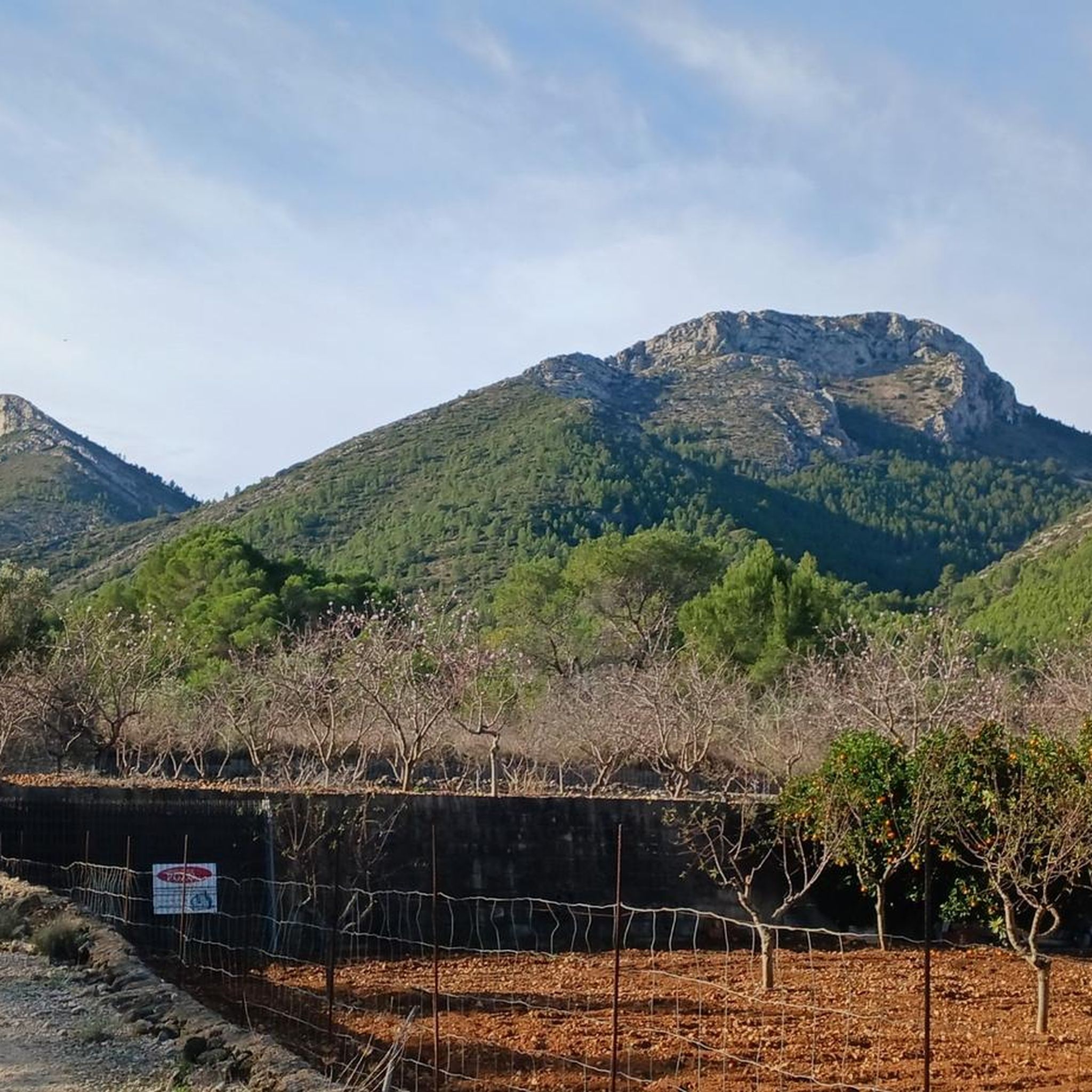
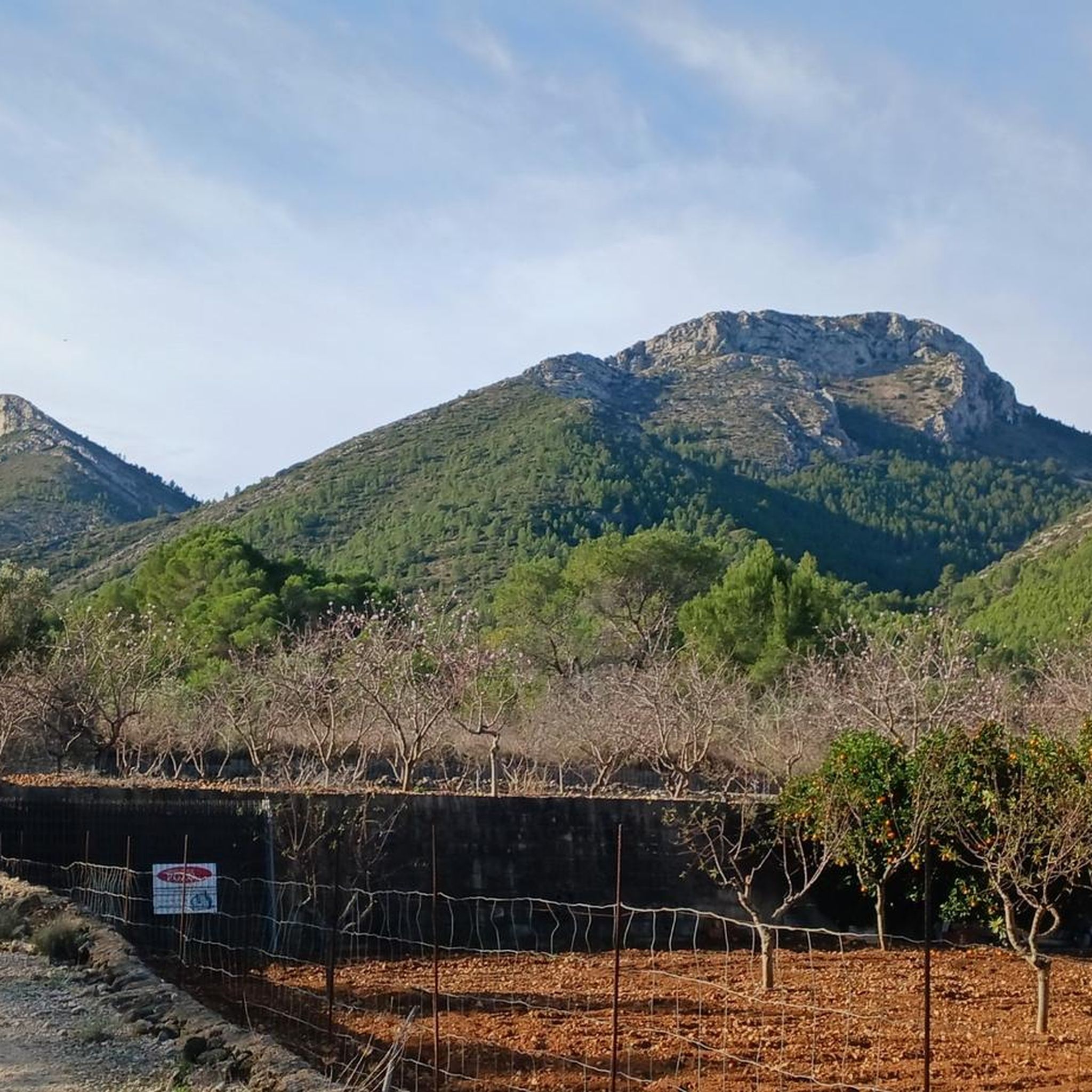
Mountaineering routes around Alcalalí are characterized by diverse mountainous terrain, including the Coll de Rates, Cavall Verd, and Seguili ranges. The region features agricultural landscapes with olive, orange, and almond groves, alongside historical dry stone structures. Many routes offer panoramic views of the valley and surrounding mountains, with the River Jalón (Gorgos) adding to the natural features.
Best mountaineering routes around Alcalalí
- The most popular mountaineering route is Penyes del Portitxol – Bèrnia loop from Serra de Bèrnia, a…
Last updated: July 8, 2026
4.7
(3)
25
hikers
11.4km
04:43
580m
580m
Hard mountaineering route. Good fitness required. Sure-footedness, sturdy shoes and alpine experience required.
4.5
(4)
5
hikers
10.1km
03:50
430m
430m
Moderate mountaineering route. Good fitness required. Mostly accessible paths. Sure-footedness required.

Sign up for free
4.7
(3)
5
hikers
6.26km
02:27
280m
280m
Moderate mountaineering route. Good fitness required. Mostly accessible paths. Sure-footedness required.
5.0
(2)
5
hikers
Hard mountaineering route. Good fitness required. Sure-footedness, sturdy shoes and alpine experience required.
5.0
(3)
3
hikers
5.16km
01:34
150m
150m
Moderate mountaineering route. Great for any fitness level. Mostly accessible paths. Sure-footedness required.
Get access to more routes and recommendations from other explorers.
Sign up for free
Already have an account?
Our route recommendations are based on thousands of hikes, rides, and runs completed by other people on komoot.
Start today with a free account
Your next adventure awaits.
Login or Signup

Other adventures around Alcalalí

Tips from the Community

The first descent of 300m via a large section of the 6800 steps, brings you to the first barranco, Rio Girona
0
0


Unfortunately everything is currently full of construction sites... but very nice!
0
0

Beautiful tour, good parking, best to do the entire walk to the caves. We walked over the ridge, not a bad one but phenomenal view!
0
0

The Forat de Bèrnia is an impressive place in the Sierra de Bèrnia, located in the Valencian Community, Spain. This natural tunnel, about 15 to 20 meters long, crosses the mountain range from north to south. At its widest entrance, it offers panoramic views of Altea, the Serra Gelada and the Mediterranean. The Forat de Bèrnia is presented as a spacious natural shelter that becomes a magnificent viewpoint of the Costa Blanca. The route begins on the north side of the mountain range, which is greener and wetter. As you cross the Forat, you move to the south face, with spectacular views of Altea, Benidorm and Puig Campana. In addition to the Forat, you can also explore the remains of the Bèrnia Fort and enjoy the varied landscapes that the mountains offer. If you decide to do this route, I recommend avoiding weekends and holidays to avoid the crowds and preserve the natural environment. I hope you enjoy this natural wonder! 😊🏞️
3
0
The Forat de Bèrnia is an impressive place in the Sierra de Bèrnia, located in the Valencian Community, Spain. This natural tunnel, about 15 to 20 meters long, crosses the mountain range from north to south. At its widest entrance, it offers panoramic views of Altea, the Serra Gelada and the Mediterranean. The Forat de Bèrnia is presented as a spacious natural shelter that becomes a magnificent viewpoint of the Costa Blanca. If you decide to do this route, I recommend avoiding weekends and holidays to avoid the crowds and preserve the natural environment. I hope you enjoy this natural wonder! 😊🏞️
4
0

Just don't drive on weekends and vacation times. Then there are so many hikers and families with small children on the single trail that it's no longer fun to go up to the plateau. I have to note that I had these experiences there on a Sunday in November.
0
0

Back to the parking lot you go along a initially narrow mountain path, which becomes a wide path, albeit also rocky and scree.
2
0
Frequently Asked Questions
How many mountaineering routes are available in Alcalalí?
There are over 10 mountaineering routes around Alcalalí, offering a variety of experiences for different skill levels. The komoot community has explored these trails more than 50 times, highlighting the region's diverse mountainous terrain.
What is the best time of year for mountaineering in Alcalalí?
Alcalalí's generally favorable meteorology allows for outdoor sports almost any time of the year. However, the almond blossom in February transforms the landscape into a stunning display, making it a particularly beautiful time for walks. The south-oriented climbing crags are also ideal for winter climbing.
Are there any family-friendly mountaineering routes in Alcalalí?
While many mountaineering routes in Alcalalí are moderate to difficult, the region also offers easier strolls through agricultural fields. For a less strenuous option that still showcases the area's beauty, consider the "Rock and Water" route along the Gorgos River, which is linear and has a very low difficulty.
Are there any circular mountaineering routes in Alcalalí?
Yes, Alcalalí offers several circular routes. A popular option is the Penyes del Portitxol – Bèrnia loop from Serra de Bèrnia, which is a difficult 11.1 km trail. Another is the Font Grossa Washhouse – Benimaurell Washhouse loop from el Campell, a moderate 10.1 km route.
What kind of landscapes and natural features can I expect to see on these routes?
Mountaineering routes in Alcalalí traverse diverse landscapes, including the Coll de Rates, Cavall Verd, and Seguili mountain ranges. You'll also encounter agricultural scenery with olive, orange, and almond groves, historical dry stone structures, and the scenic River Jalón (Gorgos). Many routes offer panoramic views of the valley and surrounding mountains.
Are there any notable viewpoints or landmarks along the mountaineering trails?
Absolutely. Many routes lead to spectacular viewpoints. The Coll de Rates is a famous viewpoint offering stunning vistas, and the medieval Tower in Alcalalí also provides panoramic views. The Mirador del Terrer offers unique landscapes. You might also encounter historical sites like the Mosquera chapel area.
What is the difficulty level of mountaineering routes in Alcalalí?
The routes in Alcalalí cater to various skill levels. You'll find moderate climbs, such as the Benimaurell Washhouse – Coll de Garga loop from la Vall de Laguar, and more challenging ascents like the Rocky Staircase Trail – Benimaurell Public Washhouse loop from el Campell, which navigates varied and rocky terrain.
Are permits required for mountaineering or hiking in Alcalalí?
Based on available information, there are no specific permits mentioned as being required for general mountaineering or hiking on the established trails in Alcalalí. However, it's always advisable to check local regulations before embarking on any activity.
What do other mountaineers enjoy most about the routes in Alcalalí?
The routes in Alcalalí are highly rated by the komoot community, with an average score of 4.6 stars from more than 10 reviews. Mountaineers often praise the diverse mountainous terrain, the stunning panoramic views, and the opportunity to explore both natural beauty and historical agricultural landscapes.
Is Alcalalí suitable for rock climbing, and what are the conditions like?
Yes, Alcalalí is home to a climbing school with about 30 routes, featuring estimated heights of 50 meters. The routes offer varying degrees of difficulty from low to medium and are south-oriented, making them ideal for winter climbing. Climbers typically need a 70-meter rope. The crag on the west side is sunny and popular in winter.
Are there any routes that offer views of the coastline or Ibiza?
Yes, many routes and viewpoints in the Alcalalí area, particularly from higher elevations like Coll de Rates, offer spectacular panoramic vistas. On clear days, it's possible to see the coastline and even the island of Ibiza in the distance.
Can I access mountaineering routes in Alcalalí using public transport?
While the region is well-known for its routes, specific public transport access directly to all trailheads is not detailed. Many routes start from or pass through villages like Alcalalí or el Campell. It's recommended to check local bus schedules or consider car rental for more flexible access to various starting points.
Are there any routes that are particularly good for experienced mountaineers?
Experienced mountaineers looking for a challenge can consider the "Cresta del Ferrer." This is a circular path of high difficulty, offering impressive views of the two Marinas (Baja and Alta). Another difficult option is the Bèrnia – el Portitxol loop from Callosa d'en Sarrià.
Most popular attractions around Alcalalí

Get inspired with the komoot mobile app


Explore more
Browse the best Mountain Hikes & Routes in other regions.
