The best running trails around El Espinar
4.5
(2)
115
runners
17
runs
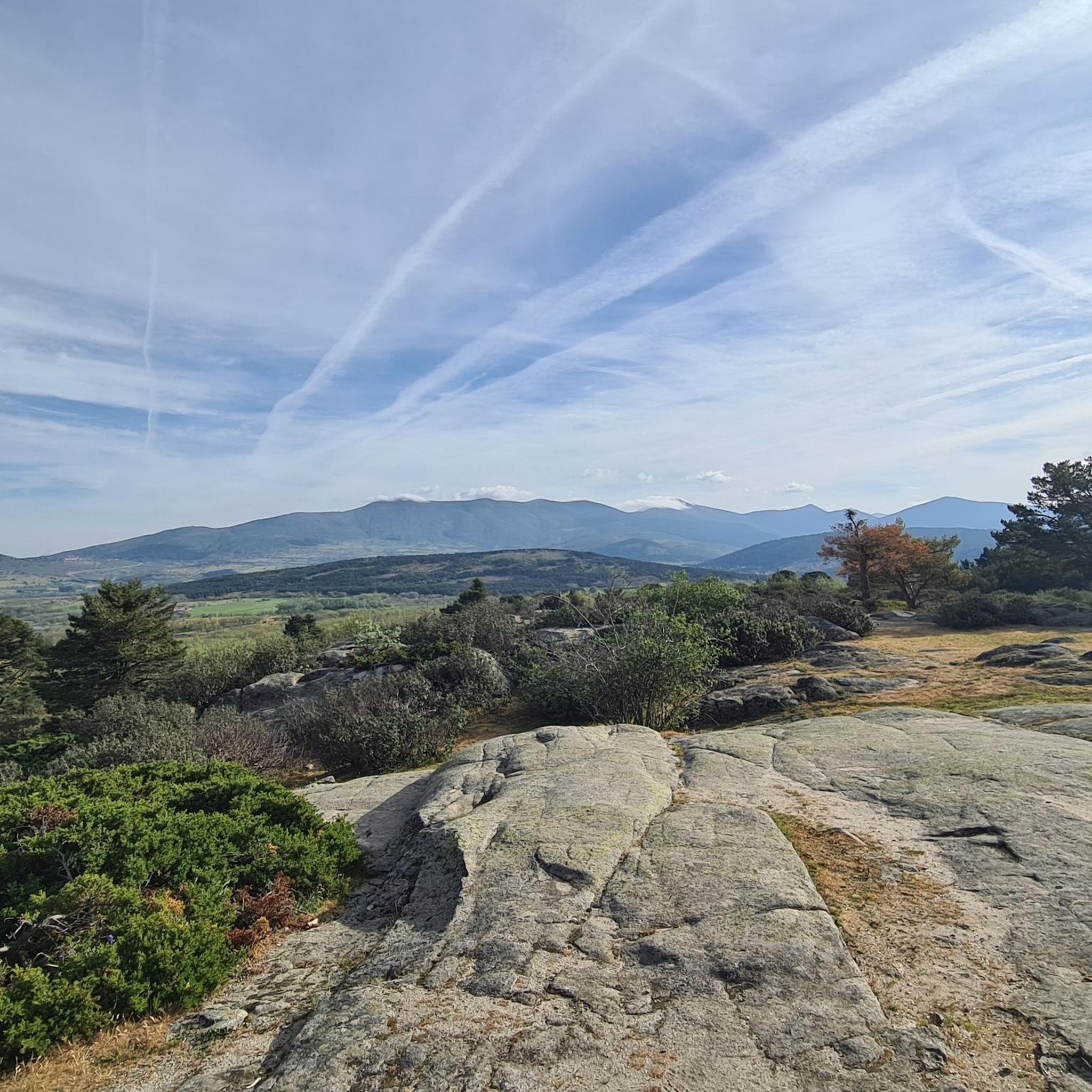
Jogging around El Espinar offers diverse landscapes within the Sierra de Guadarrama, characterized by mountain scenery and extensive forest areas. The region provides varied terrains, from challenging mountain trails to more accessible paths through natural enclaves. Runners can experience a mix of unpaved, gravel, and asphalt surfaces, making it suitable for different preferences.
Best jogging routes around El Espinar
- The most popular jogging route is Ascent to La Peñota via La Esfinge — circular route through the Sierra de Guadarrama…
Last updated: July 8, 2026
1
runners
Hard run. Very good fitness required. Sure-footedness, sturdy shoes and alpine experience required.
5.0
(1)
20
runners
Hard run. Very good fitness required. Sure-footedness, sturdy shoes and alpine experience required.

Sign up for free
18
runners
12.8km
02:18
630m
630m
Hard run. Very good fitness required. Sure-footedness, sturdy shoes and alpine experience required.
4.0
(1)
12
runners
26.3km
04:32
1,450m
1,450m
Hard run. Very good fitness required. Sure-footedness, sturdy shoes and alpine experience required.
9
runners
13.1km
01:25
220m
220m
Moderate run. Good fitness required. Mostly paved surfaces. Suitable for all skill levels.
Get access to more routes and recommendations from other explorers.
Sign up for free
Already have an account?
Our route recommendations are based on thousands of hikes, rides, and runs completed by other people on komoot.
Start today with a free account
Your next adventure awaits.
Login or Signup
Popular around El Espinar
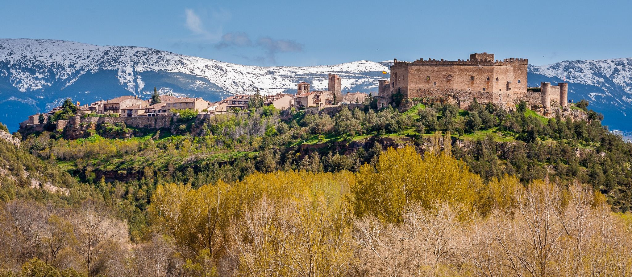

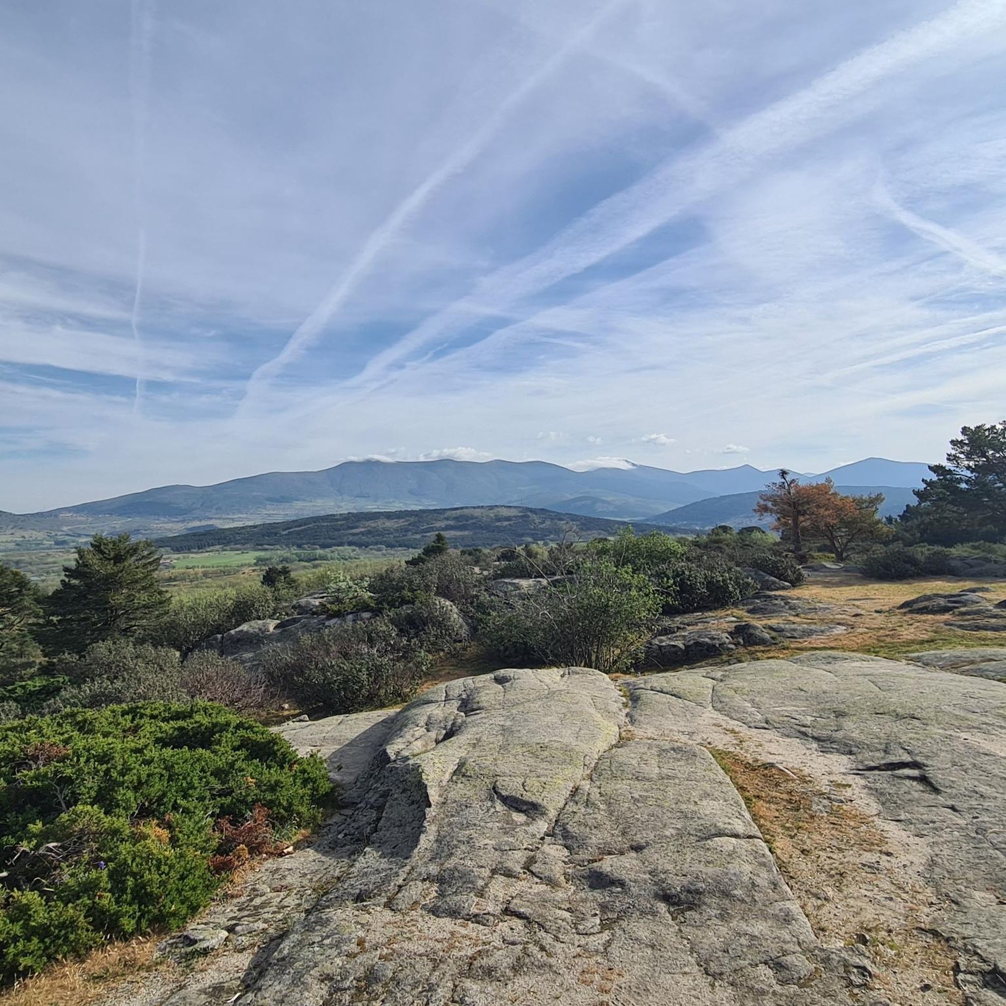
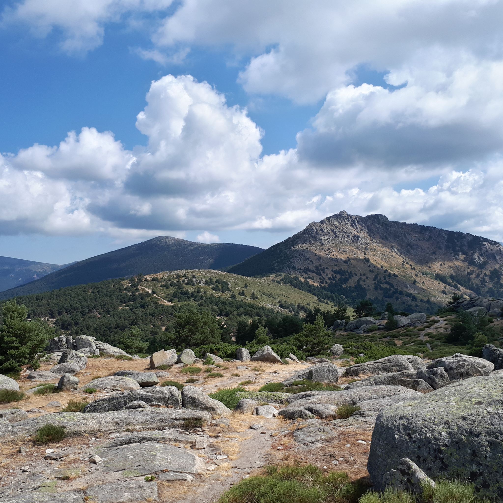
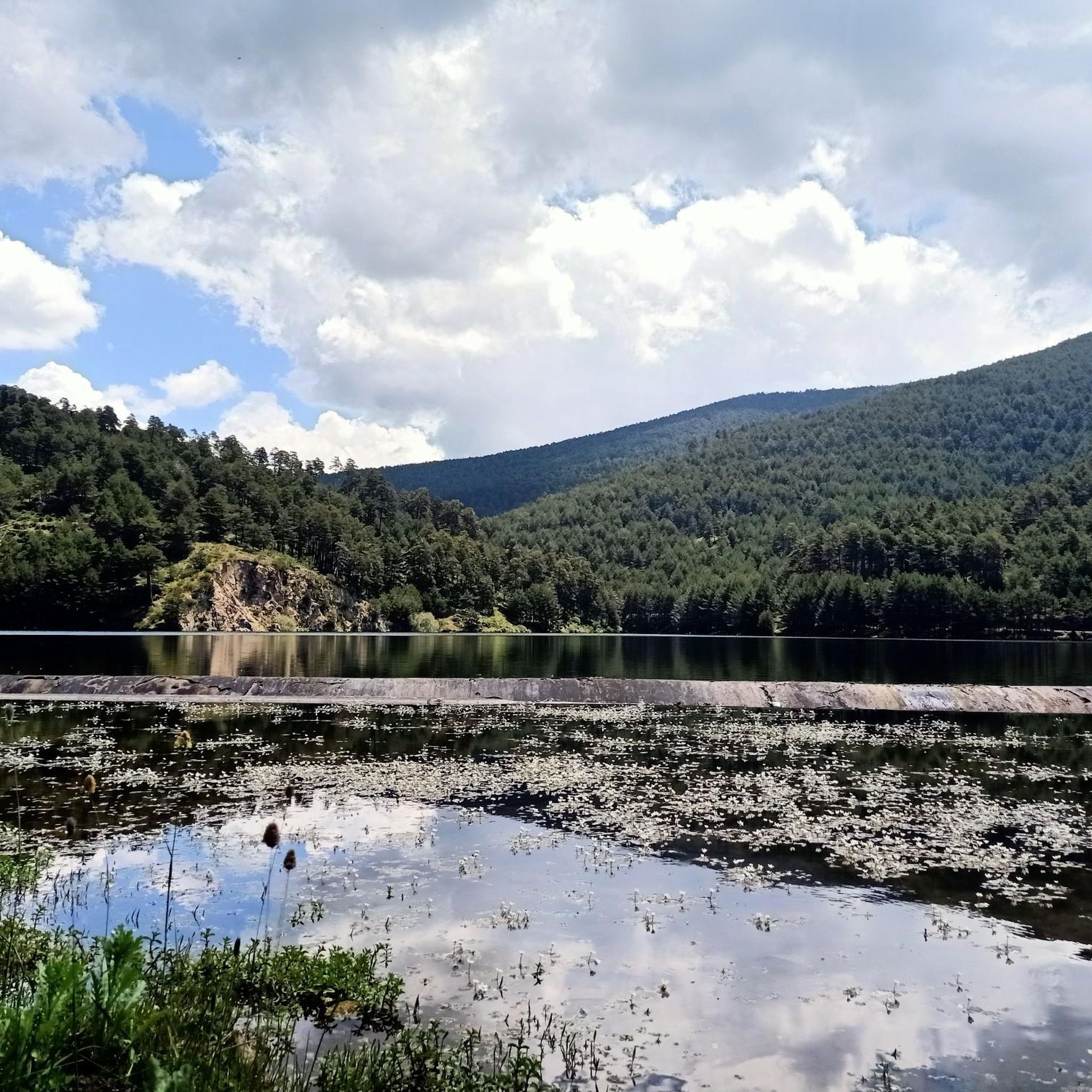




Tips from the Community

Guadarrama mountain pass between Madrid and Segovia. Starting and ending point for many mountain routes.
0
0

beautiful place to take a photo
0
0
Alto de Cueva Valiente is a place from which you can see wonderful views in every direction.
0
0

A hill that separates La Pinareja and Montón de Trigo. It is named after a game played by shepherds, "Tiro de la Barra"
0
0
Collado that takes its name from the bar throw game.
0
0
Fresh water from La Fuenfría to quell the heat of the walk.
1
0
It is the peak that forms the chest of La Mujer Muerta, its altitude 2,196 m. It is practically the same as that of La Pinareja 2,197 m., (one meter less). The surrounding landscape is unique.
1
0

Located in the Cañada Real Leonesa as it passes through the province of Ávila arriving at Segovia, it can be a good resting point to have a snack in the tranquility of nature.
1
0
Frequently Asked Questions
How many running routes are available around El Espinar?
There are over 15 running routes around El Espinar, offering a variety of experiences for different fitness levels. You'll find options ranging from easy paths to very challenging mountain trails.
What kind of terrain can I expect on the running trails in El Espinar?
The running trails in El Espinar offer a diverse range of terrains. You can expect a mix of unpaved paths, gravel tracks, and some asphalt sections. Many routes traverse lush pine forests and mountainous areas within the Sierra de Guadarrama, providing varied surfaces and scenic views.
What do other runners say about the trails in El Espinar?
The running routes in El Espinar are highly rated by the komoot community, with an average score of 5.0 stars. Over 100 runners have already explored the varied terrain using komoot, often praising the breathtaking mountain scenery and the extensive network of trails.
Are there running routes suitable for beginners or those looking for an easier run?
Yes, El Espinar offers routes suitable for all abilities. While many are challenging, there are 1 easy route and 7 moderate routes that are great for beginners or those seeking a less strenuous run. These paths often provide a gentler introduction to the region's natural beauty.
Are there challenging running routes for experienced runners in El Espinar?
Absolutely. For experienced runners, El Espinar boasts 10 difficult routes, many of which feature significant elevation gain and lead to summits with expansive vistas. Routes like Puerto de la Fuenfría – La Peñota loop from Casa Forestal Molino del Caballo offer substantial climbs and rewarding views.
Can I find running routes with scenic viewpoints in El Espinar?
Yes, the region is renowned for its stunning viewpoints. Many routes, especially those in the Sierra de Guadarrama, offer panoramic vistas. You might encounter incredible landscapes near Navacerrada Pass, or enjoy the views from summits like Seven Peaks or La Maliciosa Summit.
Are there any historical landmarks I can explore while running in El Espinar?
Yes, you can combine your run with a journey through history. The ancient Roman Road of Puerto de la Fuenfría, also known as Calzada borbónica, is a unique historical path that served as a primary route for centuries. It offers a distinct running experience through a significant piece of heritage.
What natural features define the running experience in El Espinar?
The running experience in El Espinar is largely defined by its location within the Sierra de Guadarrama. You'll encounter majestic peaks, lush pine forests, and diverse biodiversity. The region also features rivers running through natural areas, providing varied landscapes and fresh air for your run.
Are there circular running routes available in El Espinar?
Yes, many of the routes around El Espinar are circular, allowing you to start and finish at the same point. For example, the popular Ascent to La Peñota via La Esfinge is a circular route through the Sierra de Guadarrama National Park.
Are there any running routes that pass by mountain huts or shelters?
Yes, some routes in the area pass by mountain huts or shelters, which can be useful for a break or in case of changing weather. For instance, the Refugio de la Salamanca – Cabeza Líjar Summit loop includes the Refugio de la Salamanca. Other shelters like Pradera de Navalhorno Stone Shelter and Cueva Valiente Shelter are also in the vicinity.
Can I find long-distance running trails in El Espinar?
El Espinar offers several long-distance running trails for those looking to cover more ground. Routes like Puerto de la Fuenfría – La Peñota loop extend over 26 kilometers, providing a significant challenge and ample opportunity for endurance training amidst beautiful scenery.
Are there running routes accessible from San Rafael?
Yes, the nearby town of San Rafael serves as a convenient starting point for several running adventures. You can find routes such as the Running loop from San Rafael, which offers a moderate 13-kilometer path through the local landscape.
Most popular routes around El Espinar
Most popular attractions around El Espinar

Get inspired with the komoot mobile app


Explore more
Browse the best Running Trails & Routes in other regions.
