The best walks and hikes around Aielo De Malferit
4.6
(263)
1,964
hikers
118
hikes
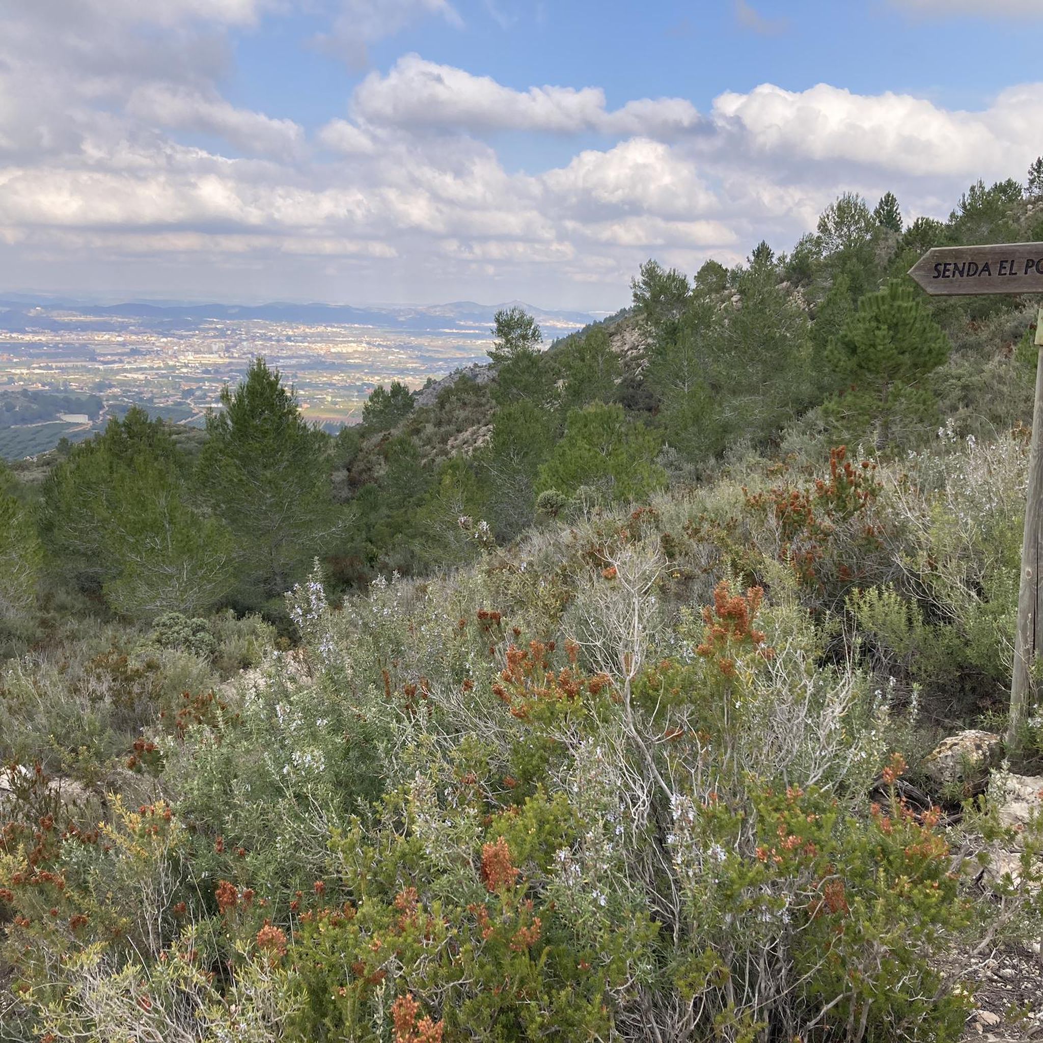
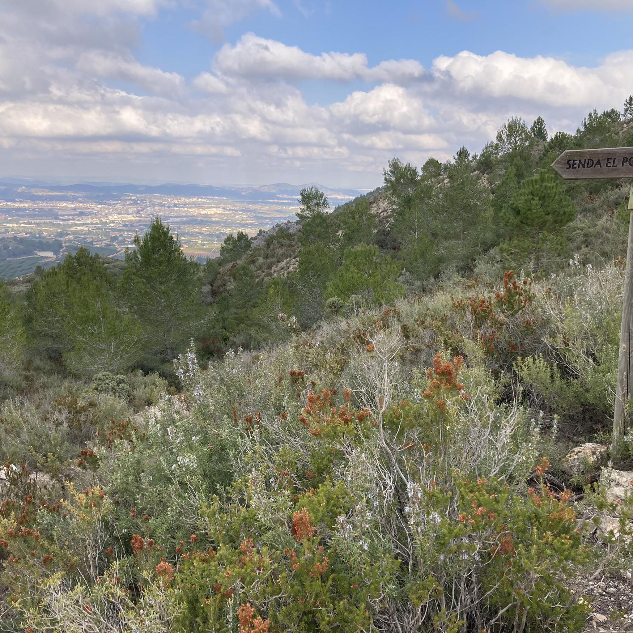
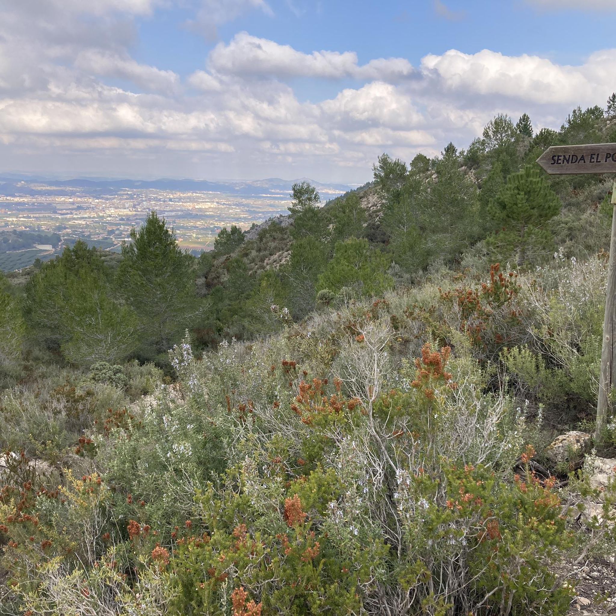
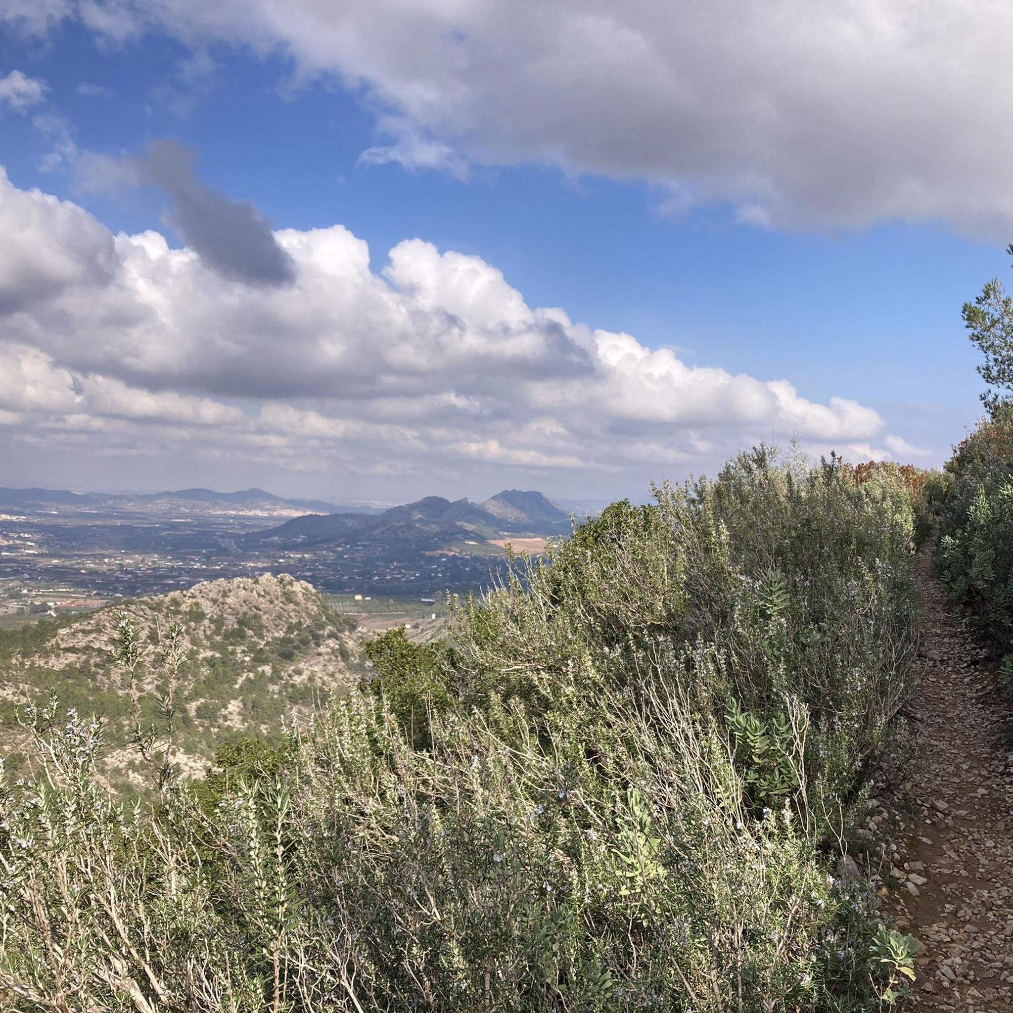
Hiking around Aielo De Malferit offers access to a network of trails traversing varied terrain. The region is characterized by rolling hills, agricultural landscapes, and areas with Mediterranean vegetation. Elevation changes are common, with routes featuring moderate climbs and descents. The trails provide opportunities to explore the local environment and its natural features.
Best hiking trails around Aielo De Malferit
- The most popular hiking route is Creueta de L'Olleria – Cruz de la Ollería loop from l'Olleria, a 5.0…
Last updated: July 8, 2026
4.7
(3)
21
hikers
8.13km
02:24
240m
240m
Moderate hike. Good fitness required. Easily-accessible paths. Suitable for all skill levels.
4.8
(4)
25
hikers
6.01km
02:25
290m
290m
Hard hike. Good fitness required. Sure-footedness, sturdy shoes and alpine experience required.

Sign up for free
4.5
(2)
9
hikers
16.9km
05:09
570m
570m
Hard hike. Very good fitness required. Easily-accessible paths. Suitable for all skill levels.
10
hikers
5.33km
01:32
130m
130m
Easy hike. Great for any fitness level. Easily-accessible paths. Suitable for all skill levels.
7
hikers
11.9km
04:06
580m
580m
Moderate hike. Good fitness required. Mostly accessible paths. Sure-footedness required.
Get access to more routes and recommendations from other explorers.
Sign up for free
Already have an account?
Our route recommendations are based on thousands of hikes, rides, and runs completed by other people on komoot.
Start today with a free account
Your next adventure awaits.
Login or Signup

Tips from the Community

There is a pass through there on the way back to Ontinyente, some beautiful landscapes.
0
0

Beautiful view of Vallada from Penya Barrota
3
0

Going up the S.Esteve hermitage to the Alt de la Creu has unbeatable views.
0
0

The viewpoint here is remarkable and the beautifully designed cast iron maps give a clear layout of the surrounding mountains.
1
0
Alt de la Creu and its fire watch tower give extensive views of the surrounding area: Benicadell, Montcabrer, etc
1
0

Geodetic point at 900m, bordering the municipalities of Vallada, Moixent, Ontinyent and Aielo de Malferit, represents the highest point in Vallada, where endemic plant associations of the region appear. The views are undoubtedly spectacular. The climb is done on scratched concrete and is very demanding, but it is worth going up to contemplate the landscape.
0
0

Quite the scramble to get up here. Today, the wind was too strong to safely go around the last rock to the cross, so we decided to not do the last 5 metres. We shall return another day.
1
0
Frequently Asked Questions
How many hiking trails are available around Aielo De Malferit?
There are over 100 hiking trails in the Aielo De Malferit region, offering a wide variety of options for different skill levels and preferences. The komoot community has mapped 119 routes in total.
Are there easy hiking trails suitable for beginners or families?
Yes, Aielo De Malferit offers 35 easy hiking routes. A good option for a less strenuous walk is the Alt de la Creu loop from Ermita de Sant Esteve, which is 3.3 miles (5.3 km) long and features moderate elevation changes.
What kind of terrain can I expect on hikes in Aielo De Malferit?
The region is characterized by rolling hills, agricultural landscapes, and areas with Mediterranean vegetation. You can expect varied terrain with moderate climbs and descents, providing a diverse hiking experience.
Are there any challenging hikes for experienced trekkers?
For experienced hikers seeking a challenge, there are 16 difficult routes available. The Hiking loop from Ontinyent is a demanding 10.5 miles (16.9 km) trail with significant elevation gain, offering a rewarding experience.
Are there circular hiking routes in the area?
Many of the trails around Aielo De Malferit are circular, allowing you to start and end at the same point. An example is the Cruz de la Ollería – Creueta de L'Olleria loop from l'Olleria, a 9.1 miles (14.7 km) route through hilly terrain and local landmarks.
What are the best times of year to go hiking in Aielo De Malferit?
Spring and autumn are generally the most pleasant seasons for hiking in Aielo De Malferit, with milder temperatures. Winter can also be suitable, though some higher elevation trails might be cooler. Summers can be hot, so early morning or late afternoon hikes are recommended.
What historical sites or natural landmarks can I see along the trails?
The region offers several points of interest. You can explore historical sites like Castell de Xàtiva or enjoy natural features such as the Barranco de Caturla. Many routes pass by these attractions, offering cultural and scenic highlights.
Is parking available near the trailheads?
Parking availability varies by trailhead. Many routes start from towns or villages where public parking is often accessible. It's advisable to check the specific route details on komoot for information regarding parking at the starting point of your chosen hike.
What do other hikers say about the trails in Aielo De Malferit?
The hiking trails in Aielo De Malferit are highly regarded by the komoot community, with an average rating of 4.6 stars from over 240 reviews. Hikers often praise the varied terrain, the scenic views, and the opportunities to explore both natural landscapes and local landmarks.
Are there any gorges or canyons to explore while hiking?
Yes, the area around Aielo De Malferit features several gorges and canyons. You can find trails that lead through or alongside these natural formations, such as the Pou de Francés and Barranco de Agulló, offering dramatic scenery.
Can I combine hiking with visits to castles in the region?
Absolutely. The region is home to several castles and historical fortifications. Many hiking routes offer views of or direct access to these sites. For example, you can find trails near View of Carrícola Castle or View of Castell de Cocentaina, allowing you to combine outdoor activity with historical exploration.
Most popular routes around Aielo De Malferit
Most popular attractions around Aielo De Malferit

Get inspired with the komoot mobile app


Explore more
Browse the best Hikes in other regions.
