The best walks and hikes around Santa María De Dulcis
4.6
(689)
5,329
hikers
59
hikes
Hiking trails around Santa María De Dulcis traverse a landscape characterized by the Vero River's canyons, limestone formations, and varied terrain. The region features a mix of riverine paths, rocky outcrops, and areas with historical quarries, offering diverse hiking experiences. Hikers can expect routes that wind through natural river gorges and ascend to viewpoints overlooking the surrounding countryside.
Best hiking trails around Santa María De Dulcis
- The most popular hiking route is Picamartillo Cave – Walkways Over the Vero River…
Last updated: July 17, 2026
4.8
(109)
1,267
hikers
4.38km
01:24
170m
170m
Easy hike. Great for any fitness level. Easily-accessible paths. Suitable for all skill levels.
4.7
(16)
110
hikers
12.2km
03:55
510m
510m
Moderate hike. Good fitness required. Mostly accessible paths. Sure-footedness required.

Sign up for free
4.6
(11)
84
hikers
11.7km
03:43
480m
480m
Moderate hike. Good fitness required. Easily-accessible paths. Suitable for all skill levels.
4.5
(6)
44
hikers
4.45km
01:17
120m
120m
Easy hike. Great for any fitness level. Easily-accessible paths. Suitable for all skill levels.
4.6
(5)
22
hikers
11.5km
03:38
450m
450m
Moderate hike. Good fitness required. Easily-accessible paths. Suitable for all skill levels.
Get access to more routes and recommendations from other explorers.
Sign up for free
Already have an account?
Our route recommendations are based on thousands of hikes, rides, and runs completed by other people on komoot.
Start today with a free account
Your next adventure awaits.
Login or Signup
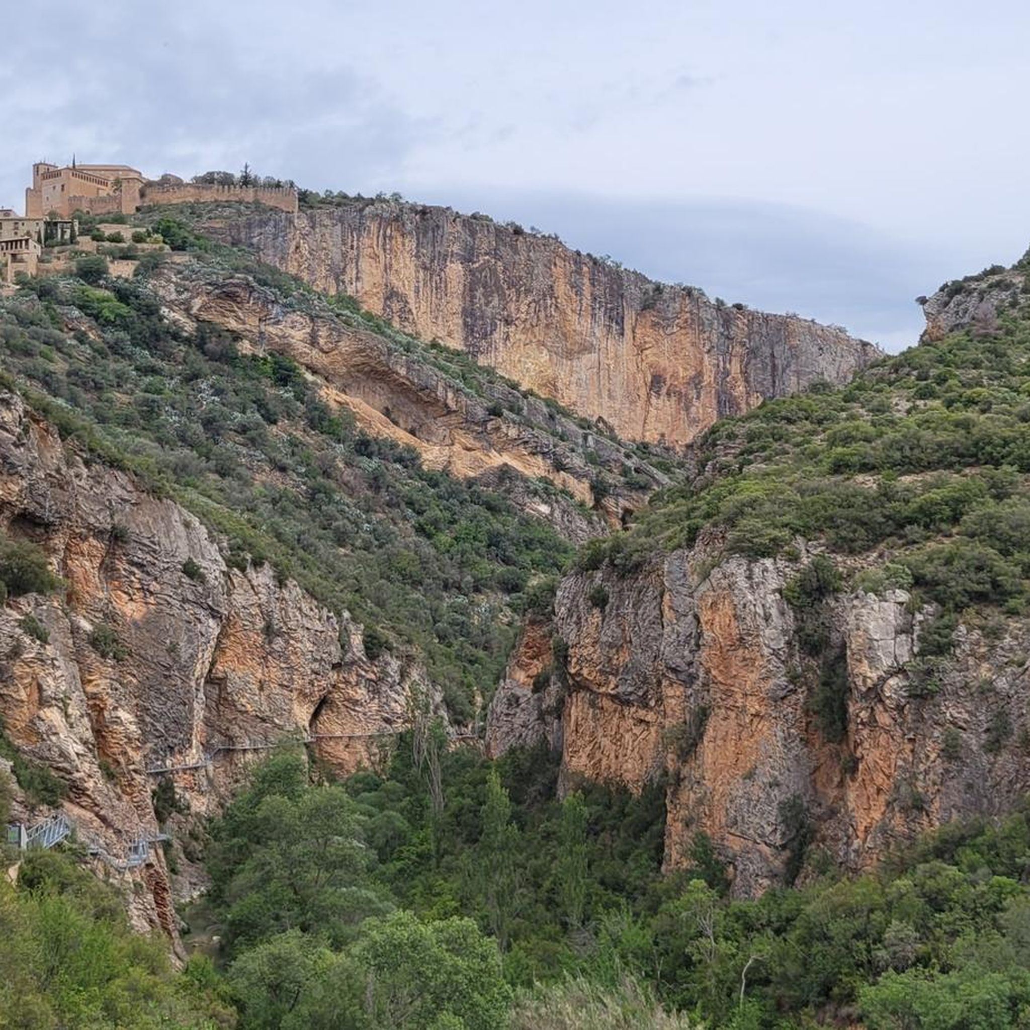
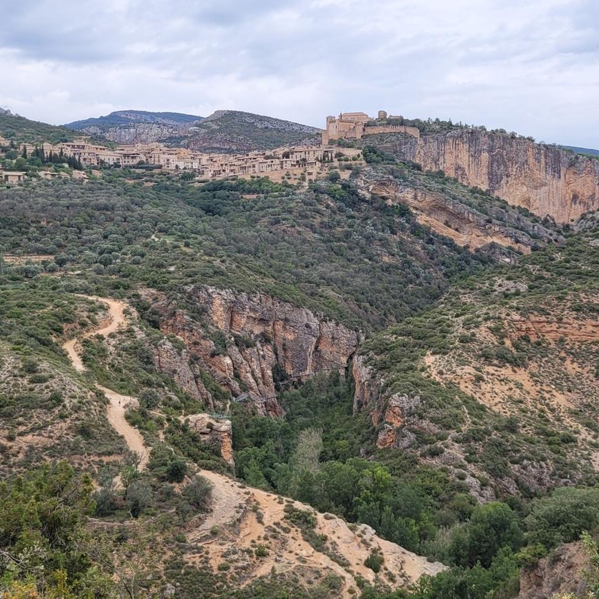
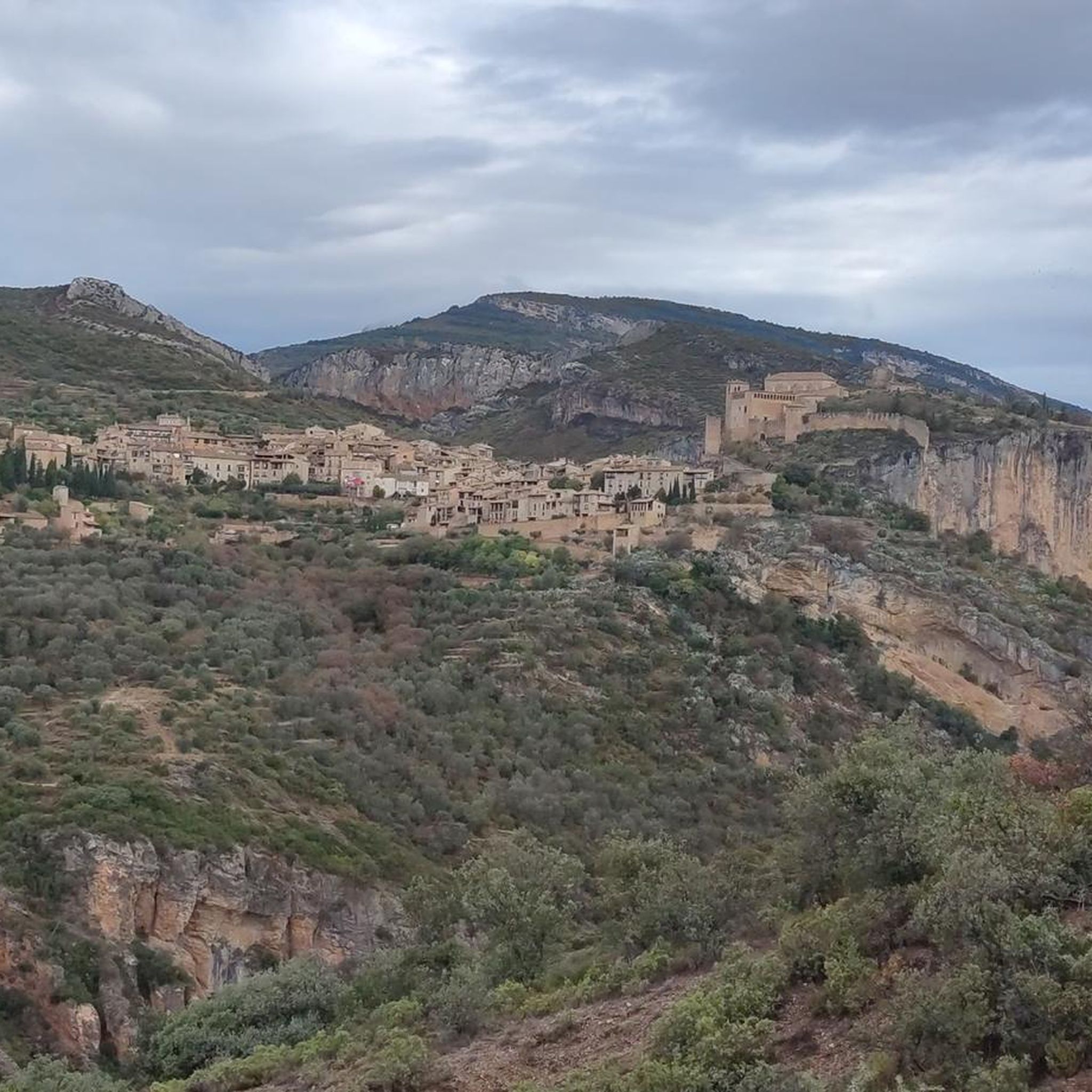
Tips from the Community

A refreshing foot bath during the hike is wonderful!
0
0

From this viewpoint, you have impressive views of the Vero River canyon and its dark stone walls.
0
0
Beautiful stone bridge crossing the Vero River. The descent and ascent to the ravine are very tough if you do them by bike.
0
0

This is not a Roman bridge, but a Roman bridge. Here for the translation AI to learn: Roman vs. Romanic, in English Roman vs. Romanic. The bridge is called Puente de Villacantal (with dots so the stupid AI doesn't translate it into, for example, "City Song Bridge": P.u.e.n.t.e d.e V.i.l.l.a.c.a.n.t.a.l The hike here is very beautiful, with an elevation gain of about 250 meters. You can take a refreshing swim.
0
1

Please note: there are no pharmacies and very few grocery stores are closed on Mondays and Tuesdays. Bring a supply of bandages for walkers, especially for blisters and other injuries.
0
0
It is essential to have walking shoes as all the paths around Alquezar are rocky, stony, or covered with mud along the Rio Vero.
0
0

The Vero viewpoint is one of the largest and best located in Alquézar 🤩
0
0
This passageway is a clear example that Alquézar was built on bedrock.
0
0
Frequently Asked Questions
How many hiking trails are there in Santa María De Dulcis?
There are over 60 hiking trails available around Santa María De Dulcis, offering a wide range of experiences from easy strolls to more challenging excursions through the region's unique landscape of river canyons and limestone formations.
Are there easy hiking trails suitable for beginners in Santa María De Dulcis?
Yes, Santa María De Dulcis offers 18 easy hiking routes perfect for beginners or those looking for a relaxed walk. A great option is the Vero Viewpoint – View of Alquézar loop from Alquézar, which is 2.8 miles (4.5 km) long and provides scenic views with minimal elevation gain.
Can I find circular hiking routes around Santa María De Dulcis?
Many of the hiking routes in Santa María De Dulcis are circular, allowing you to start and end at the same point. For example, the Roller Mill Quarry loop from Colungo is a 7.3 miles (11.7 km) circular trail that explores historical sites and natural areas.
Are there any family-friendly hiking options in Santa María De Dulcis?
Absolutely. The region has several routes suitable for families. The Picamartillo Cave – Walkways Over the Vero River loop from Alquézar is an easy 2.7 miles (4.4 km) trail that explores river walkways and a cave system, making it an engaging option for families.
Are dogs allowed on the hiking trails in Santa María De Dulcis?
Generally, dogs are welcome on many hiking trails in the Santa María De Dulcis area, especially on public paths. However, it's always advisable to keep them on a leash, especially in natural parks or protected areas, and to check specific regulations for any particular route or natural monument you plan to visit.
What kind of natural attractions or landmarks can I see while hiking?
The hiking trails around Santa María De Dulcis are rich with natural and historical sights. You can explore the stunning Vero Gorge, discover the Picamartillo Cave, or visit the picturesque Salto de Bierge waterfall. The historic village of Alquézar is also a prominent landmark along many routes.
What is the best time of year to go hiking in Santa María De Dulcis?
The best time for hiking in Santa María De Dulcis is typically during spring (April to June) and autumn (September to October). During these seasons, the weather is mild and pleasant, making for comfortable hiking conditions. Summers can be very hot, while winters are generally cooler but still offer opportunities for hiking, especially on lower-altitude trails.
Are there hiking trails with parking facilities in Santa María De Dulcis?
Many popular trailheads and villages in the Santa María De Dulcis region, such as Alquézar and Colungo, offer designated parking areas for hikers. It's common to find parking available near the starting points of well-known routes, though it can get busy during peak season.
What do other hikers enjoy most about hiking in Santa María De Dulcis?
The hiking experiences in Santa María De Dulcis are highly rated by the komoot community, with an average score of 4.6 stars from over 590 reviews. Hikers frequently praise the diverse terrain, from riverine paths to rocky outcrops, the stunning views of the Vero River canyons, and the opportunity to explore historical sites like ancient quarries and charming villages.
Are there opportunities for wild swimming near the hiking trails?
Yes, the Vero River and its tributaries offer several spots for wild swimming, particularly during the warmer months. The Salto de Bierge, a beautiful waterfall, is a well-known spot where visitors often cool off after a hike. Always exercise caution and check local conditions before swimming.
What should I wear for hiking in Santa María De Dulcis, especially in summer?
In summer, lightweight, breathable clothing is essential due to the warm temperatures. Opt for moisture-wicking fabrics, a wide-brimmed hat, and sunglasses. Sturdy hiking shoes with good grip are crucial for navigating varied terrain, including rocky paths and riverbeds. Always carry plenty of water, sunscreen, and a light jacket for cooler evenings or shaded areas.
Can I access hiking trails in Santa María De Dulcis using public transport?
While some villages like Alquézar may have limited bus services, public transport options directly to many trailheads in the more remote parts of Santa María De Dulcis are generally scarce. It's often more convenient to access trails by car. Consider checking local bus schedules for connections to larger towns, then arranging local transport or a taxi to reach specific starting points.
Most popular routes around Santa María De Dulcis
Most popular attractions around Santa María De Dulcis

Get inspired with the komoot mobile app


Explore more
Browse the best Hikes in other regions.
