The best cycling routes around Cabeza Del Buey
5.0
(1)
59
riders
11
rides
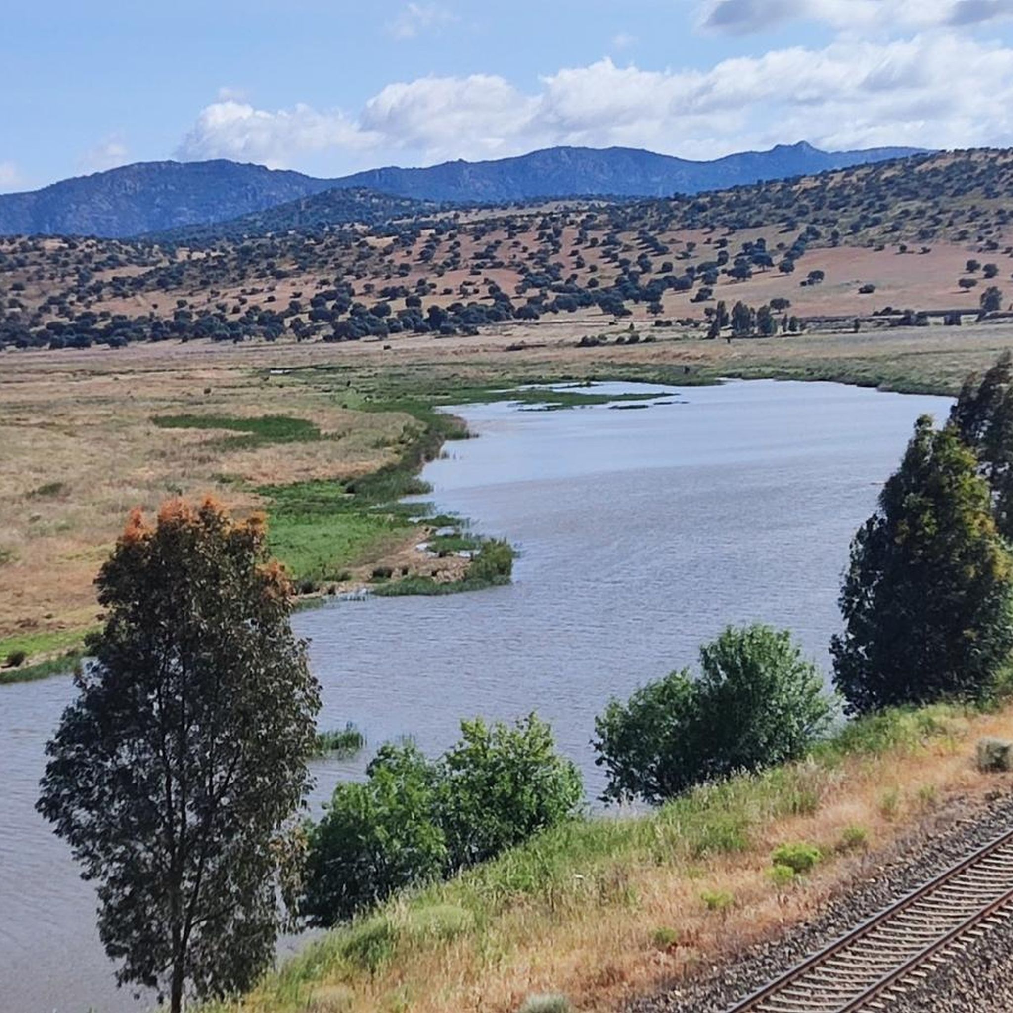
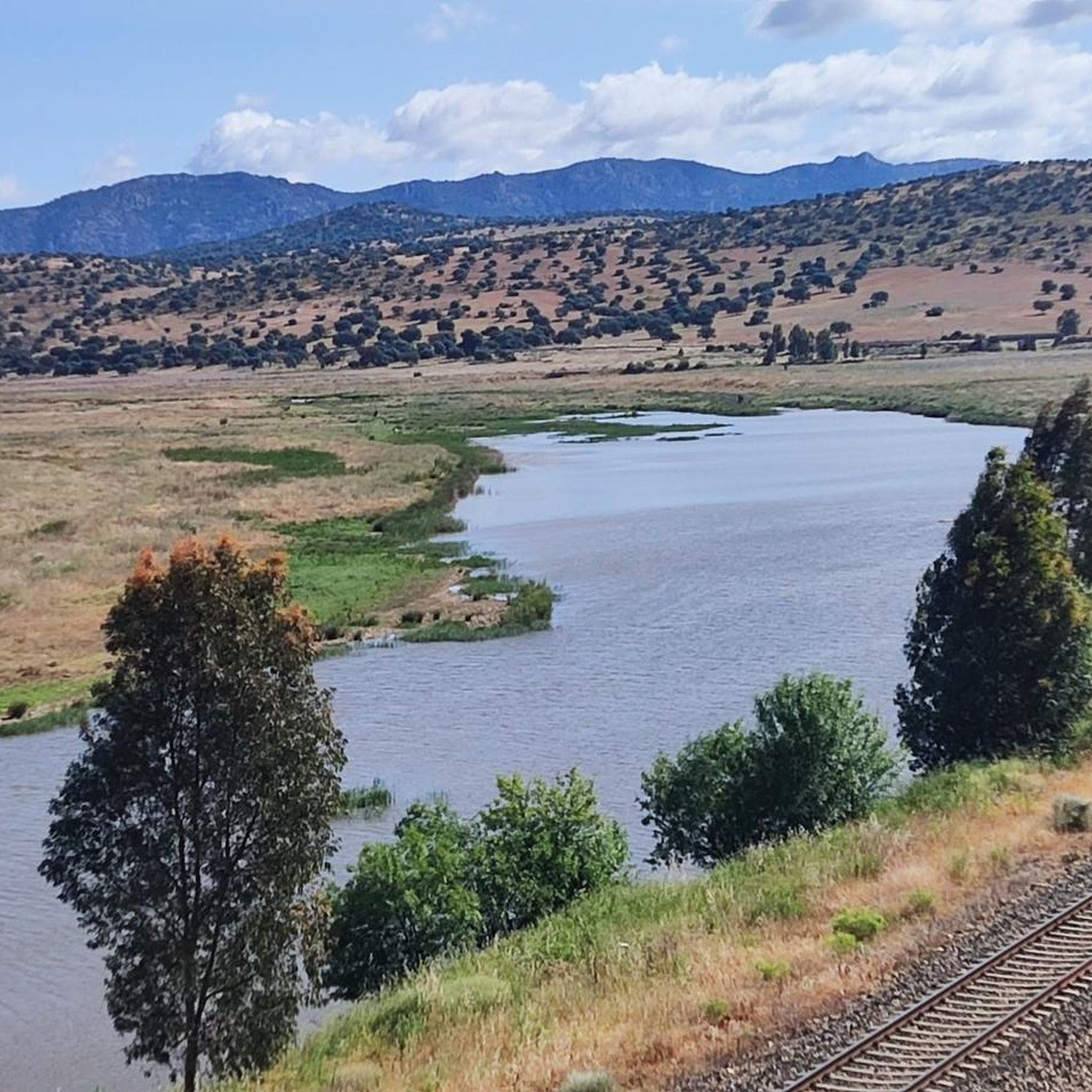
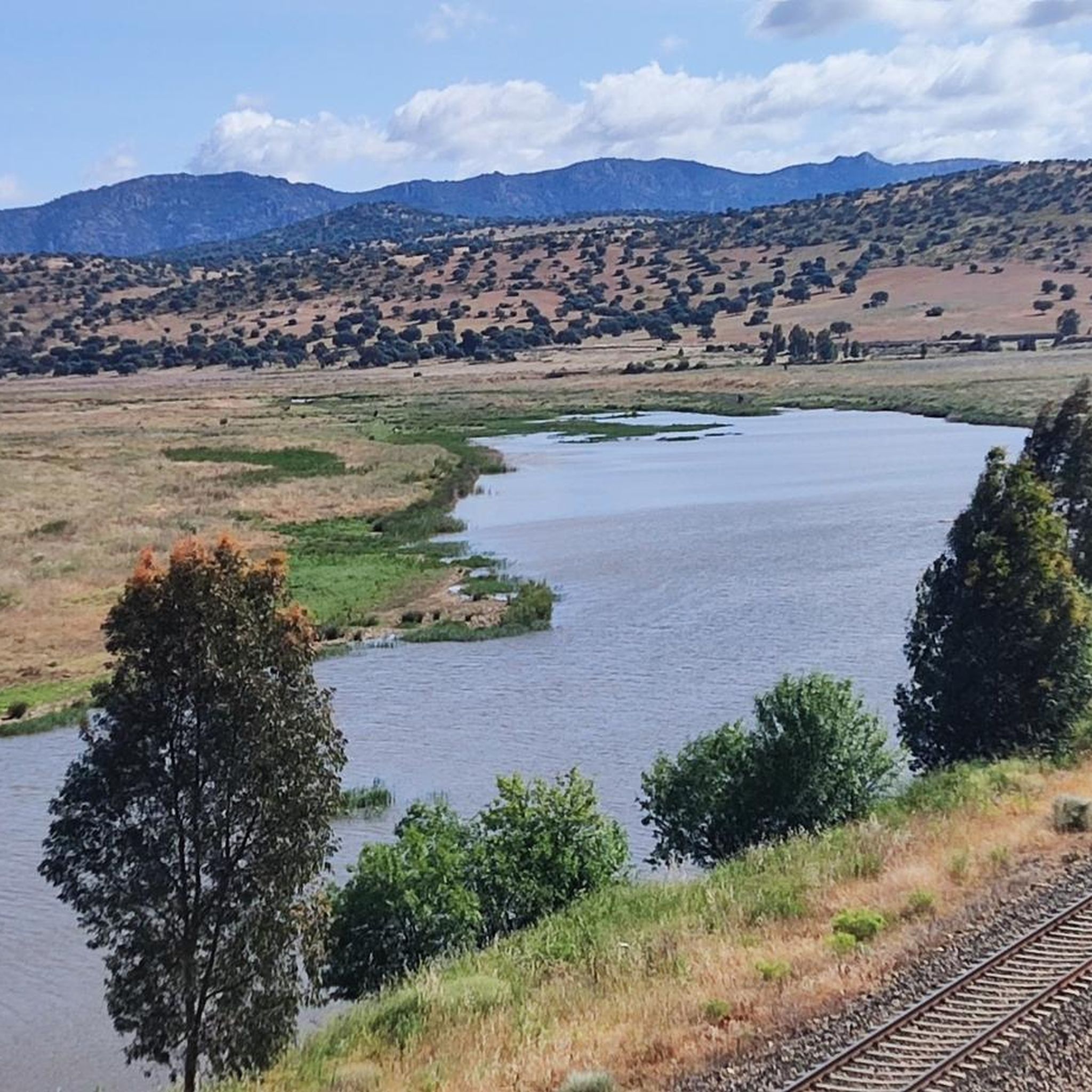
Touring cycling routes around Cabeza Del Buey traverse a diverse landscape characterized by the La Serena Reservoir, various sierras, and valleys. The region features a mix of Mediterranean scrubland, pastures, and traditional orchards, offering varied terrain for cyclists. Routes often include significant elevation changes, with some areas featuring untouched mountain ranges and oak forests. This environment provides a range of cycling experiences, from moderate paths to more challenging routes with notable climbs.
Best touring cycling routes around Cabeza Del Buey
…Last updated: October 28, 2026
Hard bike ride. Very good fitness required. Mostly paved surfaces.
11
riders
42.1km
04:03
840m
840m
Hard bike ride. Very good fitness required. Mostly paved surfaces.

11
riders
48.6km
04:42
970m
970m
Hard bike ride. Very good fitness required. Mostly paved surfaces.
5
riders
14.7km
00:55
160m
160m
Moderate bike ride. Good fitness required. Mostly paved surfaces.
6
riders
Moderate bike ride. Good fitness required. Mostly paved surfaces.
Get access to more routes and recommendations from other explorers.
Already have an account?
Our route recommendations are based on thousands of hikes, rides, and runs completed by other people on komoot.
Start today with a free account
Your next adventure awaits.

Tips from the Community

Cerro Masatrigo is a hill located in the municipality of Esparragosa de Lares. This hill is known for its almost perfect conical shape, which has earned it the nickname "the magic mountain." It rises 501 meters above sea level and 161 meters above the surrounding terrain. After the construction of the La Serena Dam, Cerro Masatrigo became a peninsula surrounded by the waters of the reservoir.
1
0
Cerro Masatrigo is a hill located in the municipality of Esparragosa de Lares. This hill is known for its almost perfect conical shape, which has earned it the nickname "the magic mountain." It rises 501 meters above sea level and 161 meters above the surrounding terrain. After the construction of the La Serena Dam, Cerro Masatrigo became a peninsula surrounded by the waters of the reservoir.
5
0
Cerro Masatrigo is a hill located in the municipality of Esparragosa de Lares. This hill is known for its almost perfect conical shape, which has earned it the nickname "the magic mountain." It rises 501 meters above sea level and 161 meters above the surrounding terrain. After the construction of the La Serena Dam, Cerro Masatrigo became a peninsula surrounded by the waters of the reservoir.
6
0
The La Serena Dam, located in the province of Badajoz (Extremadura), is one of the most impressive hydraulic infrastructures in Europe. Location: Zújar River, in the region of La Serena It is part of the La Siberia Biosphere Reserve. It houses inland islands such as Cerro Masatrigo, considered a "magic mountain" for its perfect conical shape. A SPA (Special Protection Area for Birds), ideal for watching aquatic birds and birds of prey.
6
0
The castle of Puebla de Alcocer is an imposing fortress built during the 12th and 13th centuries, and remodeled in the 15th century by Don Gutierre de Sotomayor, master of the Order of Alcántara. It is located in an elongated rocky mass, at the highest point of Puebla de Alcocer, from where the movements of the adversaries were monitored for kilometers around. Today, the regions of La Serena and La Siberia can be seen, and the fortification can be seen from various points.
6
0

Spectacular views from the Peñón del Pez hiking trails towards Peñalsordo in the valley below and La Torreta peak beyond.
1
1
Cerro Masatrigo has impressive views from Galizuela, where there is also a celestial viewpoint that shines at night.
12
2
Esparragosa de Lares sits on the western edge of the area known as La Siberia, a name that refers not to the harshness of the climate, but to the distance from the capital of the province. In front of the town the immense plains of the Zújar valley open up, being a landscape of great natural beauty due to its grandeur. Part of these spaces; Before meadows of holm oaks and cork oaks, pastures and barren areas, they are covered by the waters of the Zújar dam and the gigantic La Serena dam.
12
1
Frequently Asked Questions
How many touring cycling routes are available around Cabeza Del Buey?
There are over 10 touring cycling routes around Cabeza Del Buey. These routes cater to various skill levels, with 3 moderate and 9 difficult options, offering diverse experiences across the region's landscapes.
What kind of terrain can I expect on touring cycling routes in Cabeza Del Buey?
The terrain around Cabeza Del Buey is quite varied, featuring a mix of Mediterranean scrubland, pastures, and traditional orchards. You'll encounter significant elevation changes, with some routes traversing untouched mountain ranges and oak forests. Expect rolling sierras and expansive views, particularly around the La Serena Reservoir.
Are there any circular touring cycling routes in the area?
Yes, several routes are circular, allowing you to start and end in the same location. For example, the difficult route Embalse de la Serena and Castillo de Puebla de Alcocer — circular from la Puebla de Alcocer offers a loop from La Puebla de Alcocer, while Cabeza de Buey – Capilla and its Castle loop from Cabeza Del Buey starts and finishes in Cabeza Del Buey.
What natural features or viewpoints can I discover along the cycling routes?
You can enjoy stunning natural features and viewpoints. Many routes offer vistas of the vast La Serena Reservoir. A notable highlight is Cerro Masatrigo, a prominent natural monument. You can also find excellent views from Peñón del Pez and the Mirador Celeste de Galizuela, which provides another perspective of Cerro Masatrigo.
Are there any historical sites or castles to see while cycling?
Absolutely. The region is rich in history. You can cycle past the historic Castle of Puebla de Alcocer, which is featured on the Embalse de la Serena and Castillo de Puebla de Alcocer — circular from la Puebla de Alcocer route. Another route, Cabeza de Buey – Capilla and its Castle loop from Cabeza Del Buey, leads towards Castillo de Capilla. Further afield, you can find the impressive Belalcázar Castle.
What is the best time of year for touring cycling in Cabeza Del Buey?
The region is generally favorable for cycling, but spring and autumn are often considered ideal. During these seasons, temperatures are milder, making longer rides more comfortable. Summers can be very hot, while winters are generally mild but can have cooler, wetter periods.
Are there any family-friendly touring cycling routes?
While many routes in the area are classified as moderate to difficult with significant elevation gains, some shorter, less strenuous options might be suitable for families with older children or those with good fitness levels. For example, the moderate route View of Cerro Masatrigo – Cerro de Masatrigo loop from Esparragosa de Lares is shorter at 15.5 miles (25.0 km) and could be an option.
Can I expect to see any wildlife while cycling?
Yes, the region is known for its rich biodiversity, especially birdlife. The Sierra del Pedregoso, with its olive groves, is home to various bird species, including black storks, golden eagles, and Bonelli's eagles. The broader Extremadura region is recognized as a 'biking and birding heaven,' so keep an eye out for local fauna.
What do other touring cyclists say about the routes in Cabeza Del Buey?
The touring cycling routes around Cabeza Del Buey are highly rated by the komoot community, with an average score of 5.0 stars. Over 70 touring cyclists have explored the varied terrain, often praising the expansive reservoir views, rolling sierras, and the natural beauty of valleys like Valle del Aliso.
Are there options for parking near the touring cycling trailheads?
While specific parking details for each trailhead are best checked on individual route pages, towns like Cabeza Del Buey, La Puebla de Alcocer, and Esparragosa de Lares, which serve as starting points for many routes, typically offer public parking facilities. It's advisable to check local information for the most convenient spots.
Are there any cafes or places to eat along the touring cycling routes?
The routes often pass through or near small towns and villages such as Cabeza Del Buey, Capilla, and Esparragosa de Lares. These settlements usually have local cafes, bars, or restaurants where you can refuel and rest. It's a good idea to plan your route to include these stops or carry sufficient provisions.
What is the longest touring cycling route available?
The longest touring cycling route is Embalse de la Serena and Castillo de Puebla de Alcocer — circular from la Puebla de Alcocer, covering 45.4 miles (73.1 km). This difficult route offers extensive views of the La Serena reservoir and takes approximately 5 hours and 7 minutes to complete.
Most popular attractions around Cabeza Del Buey

Get inspired with the komoot mobile app


Explore more
Browse the best Cycling routes in other regions.
