The best walks and hikes around Breitbrunn
4.6
(4325)
15,968
hikers
35
hikes
Hiking around Breitbrunn am Chiemsee offers diverse landscapes, from the shores of Lake Chiemsee to the rolling hills and green forests of the surrounding area. The region features a unique mosaic of glacial lakes in the Eggstätt-Hemhofer Seenplatte to the north. To the south, the Chiemgau Alps provide more elevated terrain. This varied topography supports a range of hiking experiences.
Best hiking trails around Breitbrunn
- The most popular hiking route is Querkel Cave at Veitenstein – Rudendorf Weather Stone loop…
Last updated: June 27, 2026
4.7
(62)
140
hikers
Moderate hike. Good fitness required. Easily-accessible paths. Suitable for all skill levels.
4.6
(17)
52
hikers
Easy hike. Great for any fitness level. Easily-accessible paths. Suitable for all skill levels.

Sign up for free
4.8
(12)
27
hikers
8.97km
02:26
130m
130m
Moderate hike. Good fitness required. Easily-accessible paths. Suitable for all skill levels.
4.6
(7)
29
hikers
Moderate hike. Good fitness required. Easily-accessible paths. Suitable for all skill levels.
4.9
(16)
43
hikers
Easy hike. Great for any fitness level. Easily-accessible paths. Suitable for all skill levels.
Get access to more routes and recommendations from other explorers.
Sign up for free
Already have an account?
Our route recommendations are based on thousands of hikes, rides, and runs completed by other people on komoot.
Start today with a free account
Your next adventure awaits.
Login or Signup

Tips from the Community

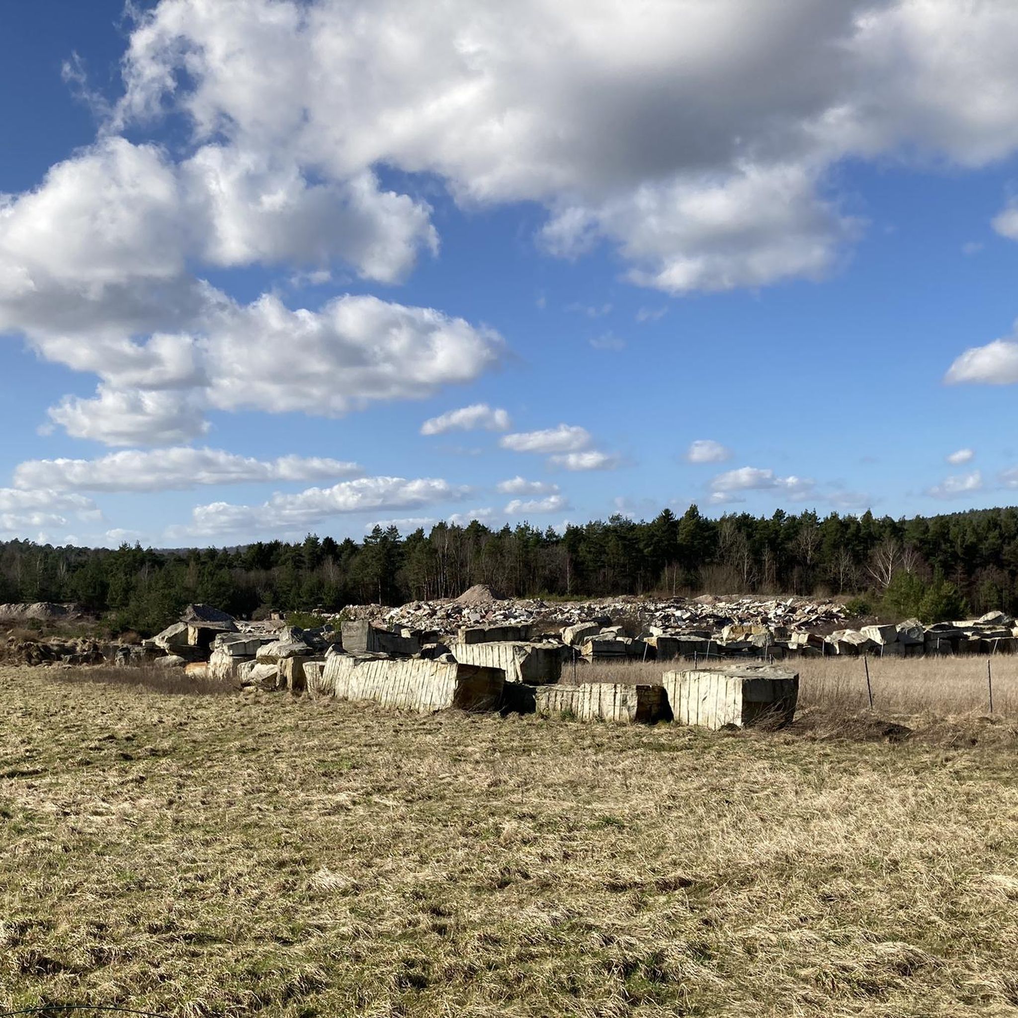
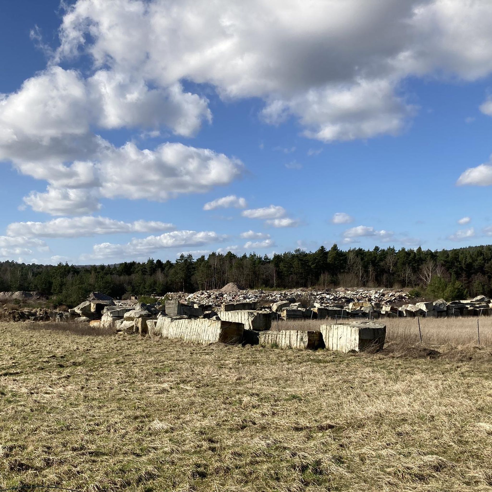
The Rennweg in the Haßberge district of Lower Franconia is a historic ridge trail, known for its tranquility and wide views over the Haßberge Nature Park. The trail formerly served as an important ridge connection for express messengers and couriers. It is considered the "the little counterpart" to the famous Thuringian Rennsteig. The entire Haßberge Rennweg extends for about 65 kilometers. Near Breitbrunn, it is today a popular destination for: Hikes that invite you to relax away from the hustle and bustle. Mountain biking and gravel biking on the wooded sections. Sights in Breitbrunn: Directly near the Rennweg is the well-known Kreuzweg Breitbrunn, which addresses the regional tradition of sandstone quarries. The trail runs northwest/southeast along the ridge. From Edelbrunn, it is easily accessible via local hiking trails.
2
0
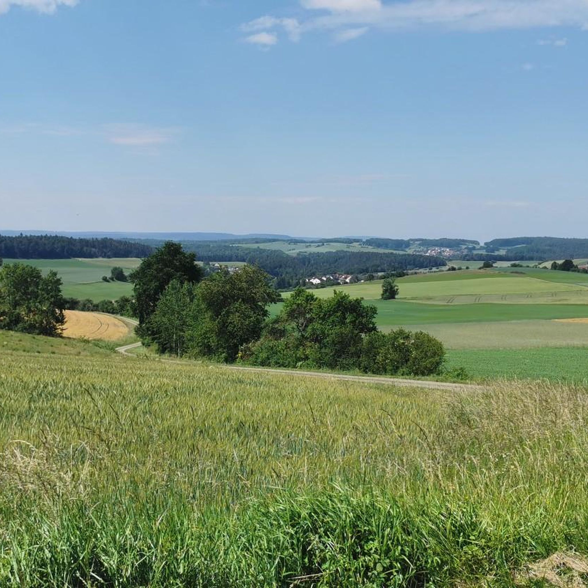
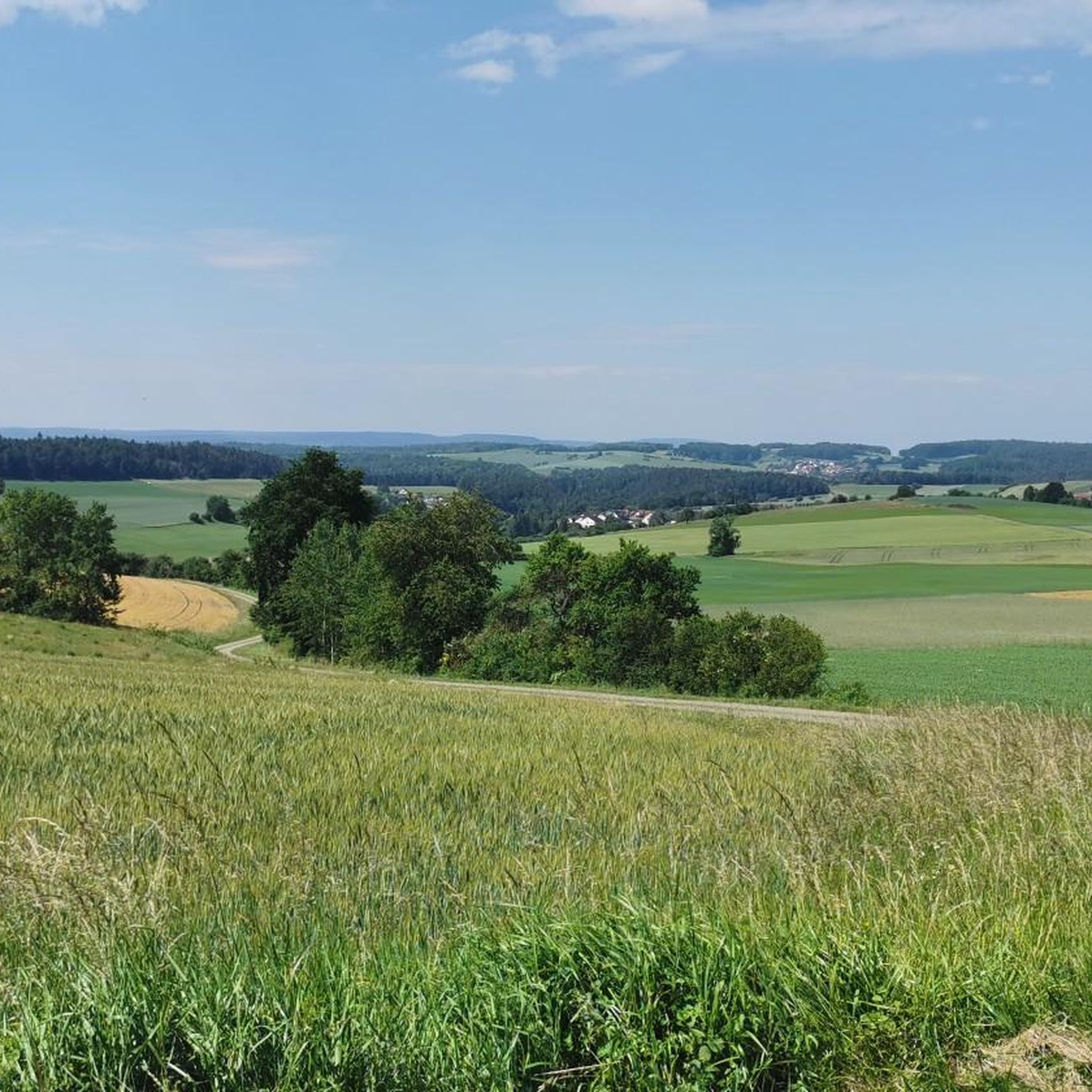
In the Haßberge, the area around Neubrunn is a popular hiking region. This hut serves hikers on the Genusserlebnisweg (Enjoyment Experience Trail) of the municipality of Kirchlauter or the Kreuzwanderweg Breitbrunn as a resting place. It offers shelter in bad weather and is an ideal spot to enjoy the hilly landscape of the Haßberge.
2
0
The Rennweg in the Haßberge district of Lower Franconia is a historic ridge trail known for its tranquility and expansive views over the Haßberge Nature Park. The path once served as an important ridge connection for express messengers and couriers. It is considered the "little counterpart" to the famous Thüringer Rennsteig. The entire Haßberge Rennweg stretches for approximately 65 kilometers. Near Breitbrunn, it is today a popular destination for: Hikes that invite peace and quiet, far from the hustle and bustle. Mountain biking and gravel biking on the wooded sections. Sights in Breitbrunn: Directly near the Rennweg is the well-known Kreuzweg Breitbrunn, which thematizes the regional tradition of sandstone quarries. The path runs northwest/southeast along the ridge. From Edelbrunn, it is easily accessible via local hiking trails.
3
0

Closed in winter so that the bats are undisturbed. A visit is possible between April 20 and October 20. Registration must be made 1 week in advance.
0
0
The open-air altar with a wooden cross is located above Breitbrunn on one of the most beautiful vantage points in the region, directly at the transition to the Rennweg. The altar is located on a hill northwest of the village. It is embedded in a group of trees, which is often perceived as a natural church roof. The altar itself is simply made of stone and is surmounted by a large, striking wooden cross. It serves as a place of rest and reflection for hikers and cyclists. The place is regularly used for open-air services, such as on Ascension Day.
3
0
Breitbrunn is a municipality in the Lower Franconian district of Haßberge and is located on the edge of the Steigerwald Nature Park. Breitbrunn has approximately 1,019 inhabitants (as of the end of 2024). The municipality belongs to the administrative community of Ebelsbach and is idyllically situated in a hilly landscape that forms the transition to the Steigerwald. The region around Breitbrunn is ideal for hiking and cycling tours.
3
0
The wooden wayside cross on the Rennweg near Breitbrunn is a striking resting point for hikers and cyclists in the Haßberge Nature Park. It is located at a historic crossroads on the ridge above Breitbrunn. The cross stands directly on the so-called Rennweg, an old high-altitude path that used to serve as an important messenger and trade route. In addition to the simple wooden cross, the characteristic stone benches invite you to take a break. From this point, depending on the vegetation phase, you have a wide view over the Main valley to the Steigerwald.
3
0
Breitbrunn is a municipality in the Lower Franconian district of Haßberge and is located on the edge of the Steigerwald Nature Park. Breitbrunn has approximately 1,019 inhabitants (as of the end of 2024). The municipality belongs to the administrative community of Ebelsbach and is idyllically situated in a hilly landscape that forms the transition to the Steigerwald. The region around Breitbrunn is ideal for hiking and cycling tours.
1
0
Frequently Asked Questions
How many hiking trails are available around Breitbrunn?
There are over 35 hiking trails around Breitbrunn, offering a diverse range of experiences. You'll find 21 easy routes, 12 moderate trails, and 2 more challenging options to explore the area's landscapes.
What types of landscapes can I expect to see while hiking in Breitbrunn?
Hiking in Breitbrunn offers diverse landscapes, from picturesque lakeside paths along Lake Chiemsee to rolling hills and lush green forests. To the north, the Eggstätt-Hemhofer Seenplatte features a unique mosaic of glacial lakes, while the Chiemgau Alps to the south provide more elevated terrain and panoramic views.
Are there any easy or family-friendly hiking trails in Breitbrunn?
Yes, Breitbrunn is well-suited for easy and family-friendly hikes, with 21 easy trails available. Many lakeside paths along Lake Chiemsee are ideal for gentle walks. An example of an easy route is the Veitenstein Rock Formation – Querkel Cave at Veitenstein loop from Ebelsbach (VGem), which is 4.7 miles (7.6 km) long.
What do other hikers enjoy most about the trails in Breitbrunn?
The trails in Breitbrunn are highly rated by the komoot community, with an average score of 4.7 stars from over 130 reviews. Hikers often praise the varied terrain, scenic views, and well-maintained paths that make exploring the region enjoyable.
Are there any circular hiking routes in Breitbrunn?
Yes, many trails in Breitbrunn are circular, allowing you to start and end at the same point. A notable example is the View of Breitbrunn – Bench With View of Breitbrunn loop from Breitbrunn, a moderate 5.6-mile (9.0 km) path offering scenic perspectives of the area.
What are some interesting natural landmarks or attractions to see along the hiking trails?
While hiking, you can explore several natural landmarks and attractions. Consider visiting the Veitenstein Rock Formation or the Hollow Rock. For those interested in historical sites, the Raueneck Castle Ruins are also nearby.
When is the best time of year to go hiking in Breitbrunn?
The best seasons for hiking in Breitbrunn am Chiemsee are spring and autumn. During these times, the weather is pleasantly mild, and the landscape is vibrant with colors, offering ideal conditions for exploring the trails.
Are there any trails that offer great viewpoints of Lake Chiemsee or the Alps?
Absolutely. Many trails provide stunning views of Lake Chiemsee, often referred to as the 'Bavarian Sea,' and the distant Alps. Routes like the 'View of Fraueninsel' loop offer scenic perspectives of the lake and its islands. More challenging routes, such as the 'Small harbour on the Chiemsee – View of the Chiemsee and the Alps loop,' provide expansive views of the lake and the Bavarian Alps.
Can I find longer, more challenging hikes in the Breitbrunn area?
Yes, for those seeking more challenging routes, the Chiemgau Alps to the south present more demanding terrain. While the immediate Breitbrunn area has 2 difficult trails, you can find more elevated options around nearby mountains like Hochgern and Geigelstein for panoramic mountain views.
Are there any trails that lead to caves or unique rock formations?
Yes, the area around Breitbrunn features interesting geological formations. You can explore trails that lead to sites like the Veitenstein Rock Formation or the Ivy-Covered Grotto by the Main River. The Querkel Cave at Veitenstein – Rudendorf Weather Stone loop is a moderate route that explores this type of terrain.
What is the typical duration for a hike in Breitbrunn?
Hiking durations in Breitbrunn vary depending on the trail's length and difficulty. Easy lakeside strolls might take just over an hour, while moderate routes like the Rudendorf Weather Stone – Veitenstein Rock Formation loop, at 6.3 miles (10.2 km), typically take around 2 hours 50 minutes. Longer routes can extend up to six hours or more.
Most popular attractions around Breitbrunn

Get inspired with the komoot mobile app


Explore more
Browse the best Hikes in other regions.
