The best walks and hikes around Allertal
4.6
(2862)
12,194
hikers
33
hikes
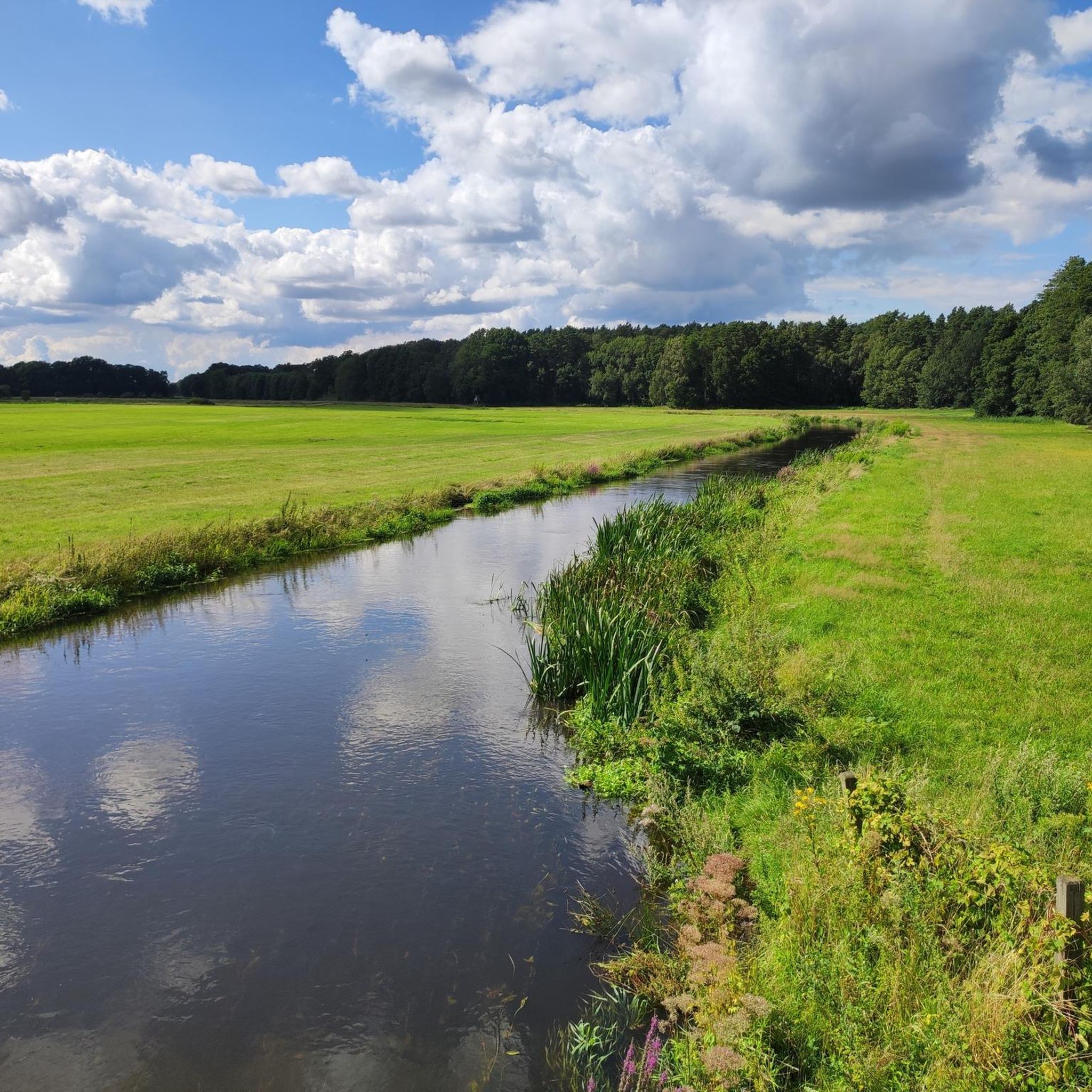
Hiking around Allertal offers diverse landscapes characterized by tranquil riverine scenery and unique heathlands. The region features the notable confluence of the Oker and Aller rivers, alongside extensive riverside meadows. Hikers can explore areas like the Gifhorn Heath and the Fahle Heide natural reserve, which present low-lying terrain with minimal elevation changes. This makes Allertal suitable for accessible outdoor exploration.
Best hiking trails around Allertal
- The most popular hiking route is Confluence of the Oker and Aller rivers – St.…
Last updated: June 27, 2026
4.8
(17)
50
hikers
Moderate hike. Good fitness required. Easily-accessible paths. Suitable for all skill levels.
5.0
(4)
17
hikers
Easy hike. Great for any fitness level. Easily-accessible paths. Suitable for all skill levels.

Sign up for free
5.0
(3)
18
hikers
3.16km
00:48
10m
10m
Easy hike. Great for any fitness level. Easily-accessible paths. Suitable for all skill levels.
5.0
(2)
7
hikers
6.39km
01:37
20m
20m
Easy hike. Great for any fitness level. Easily-accessible paths. Suitable for all skill levels.
5.0
(5)
16
hikers
6.15km
01:34
20m
20m
Easy hike. Great for any fitness level. Easily-accessible paths. Suitable for all skill levels.
Get access to more routes and recommendations from other explorers.
Sign up for free
Already have an account?
Our route recommendations are based on thousands of hikes, rides, and runs completed by other people on komoot.
Start today with a free account
Your next adventure awaits.
Login or Signup
Tips from the Community

In winter, it's great for sledding when there's snow; otherwise, it's a beautiful trail for mountain biking!
0
0

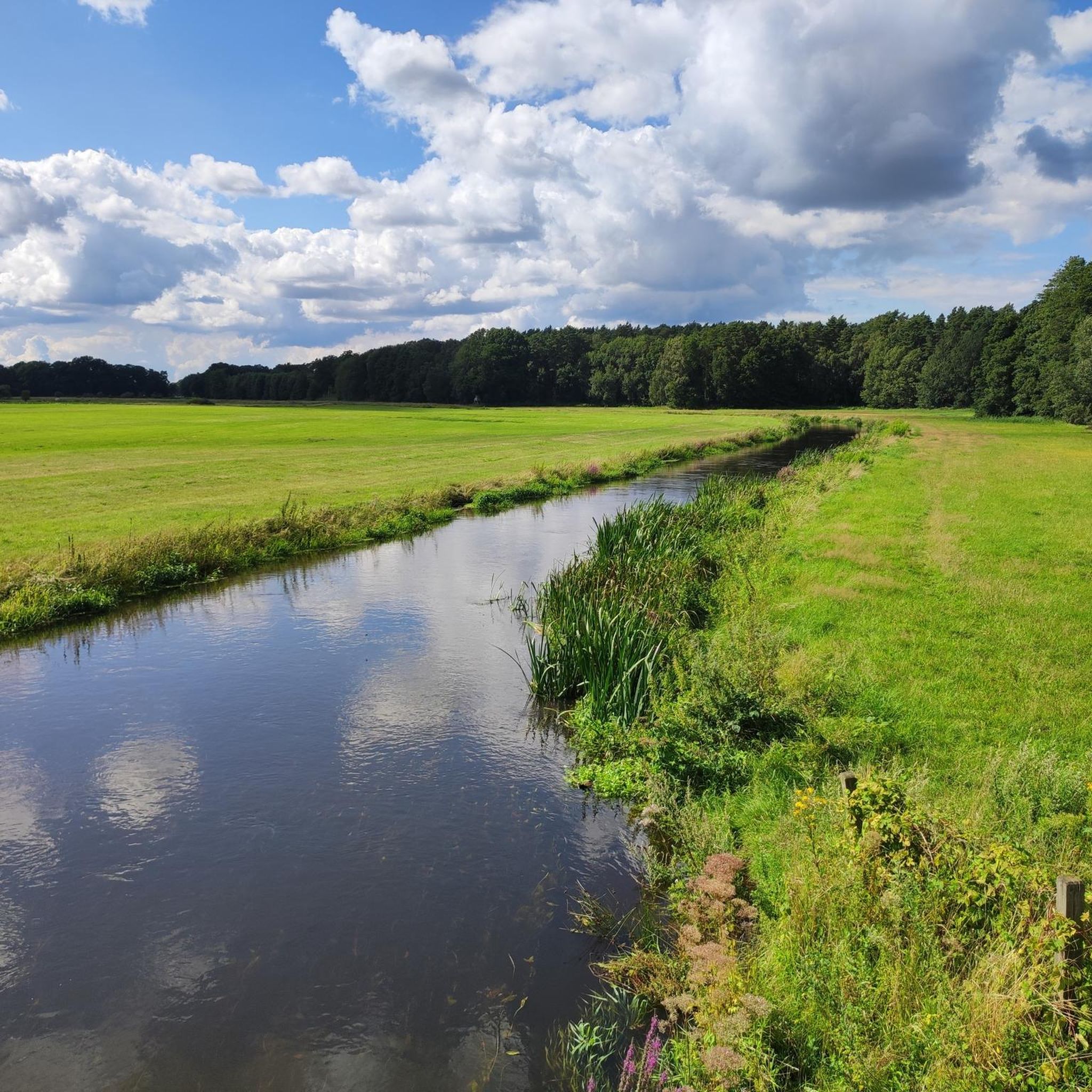
A beautiful wooden bridge. It's a great place to spot fish, and the riverside meadows are home to all sorts of fascinating insects, including crickets, butterflies, dragonflies, and even a wonderful wasp spider!
1
0

Canal feeling in the middle of the forest 😎
0
0


Here, the Neubokel hunting association planted an avenue of annual trees in 2023 with support from the Lower Saxony Bingo Environmental Foundation.
0
0

Nice quiet corner. If you want to picnic here in the summer, don't forget the mosquito spray!
0
0

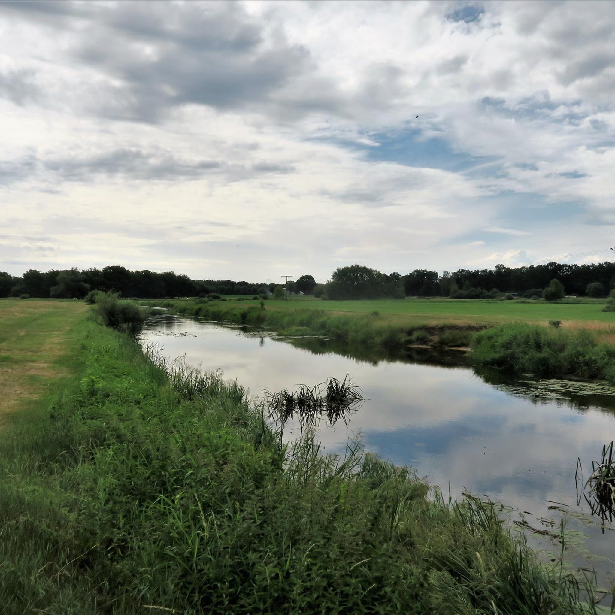
Beautiful trail section along the Aller canal and partly close to the bank and in wet weather the wet roots can be tricky.
0
0

This is the "Schicke Brücke", named after the surveying engineer Herbert Schicke. In fact, it is the only way to cross the Aller for miles around. Until a few years ago, cars drove here on the shortcut from Gifhorn to Winkel (not to Wilsche, dear Wildrocker) - today, walkers and cyclists have the sole pleasure. While the bridge itself is not particularly pretty, the surrounding area is beautiful
1
0
Frequently Asked Questions
How many hiking trails are available in Allertal?
Allertal offers a wide selection of hiking opportunities, with over 30 distinct trails documented on komoot. These routes cater to various preferences, from leisurely riverside strolls to more engaging loops through natural reserves.
What kind of terrain and difficulty can I expect on Allertal's hiking trails?
The terrain in Allertal is generally low-lying with minimal elevation changes, making it accessible for many hikers. Most routes are classified as easy, with 26 out of 31 trails falling into this category. There are also 5 moderate trails for those seeking a bit more challenge, but no difficult routes. You'll encounter tranquil river landscapes, unique heathlands, and riverside meadows.
Are there family-friendly hiking options in Allertal?
Yes, Allertal is well-suited for family outings due to its predominantly easy and low-elevation trails. Many routes, such as the St. Petri Church Müden (Aller) – Confluence of the Oker and Aller rivers loop from Flettmar, follow gentle riverside paths, perfect for all ages to enjoy the natural scenery.
Can I bring my dog on the hiking trails in Allertal?
Many trails in Allertal are suitable for dogs, especially those that traverse open landscapes like heathlands and riverside paths. It's always recommended to keep dogs on a leash, especially in nature reserves like Fahle Heide, to protect local wildlife and ensure a pleasant experience for all hikers. The region's generally flat terrain is also comfortable for canine companions.
Are there circular hiking routes available in Allertal?
Yes, many of Allertal's hiking trails are designed as circular routes, allowing you to start and end at the same point. Examples include the popular Confluence of the Oker and Aller rivers – St. Petri Church Müden (Aller) loop from Flettmar, which offers scenic views of the river confluence, and the Allerkanal Riverside Path – Vierlingseiche loop from Fahle Heide.
What natural features and landmarks can I see while hiking in Allertal?
Allertal is rich in natural beauty. You can explore the picturesque Confluence of the Oker and Aller rivers, discover the unique heath ecosystems of the Gifhorn Heath and Fahle Heide, or visit the Oker Weir and Fish Ladder in Müden (Aller). Many trails also feature scenic wooden bridges, like the Aller Bridge near Flettmar, and opportunities to observe diverse flora and fauna in riverside meadows.
What do other hikers enjoy most about hiking in Allertal?
The komoot community highly rates the hiking experience in Allertal, with an average score of 4.8 stars from over 40 reviews. Hikers often praise the tranquil river landscapes, the unique heathlands, and the well-maintained, accessible trails. The region's peaceful atmosphere and opportunities for wildlife spotting are frequently highlighted as enjoyable aspects.
When is the best time of year to go hiking in Allertal?
Allertal offers enjoyable hiking experiences throughout much of the year. Spring and autumn provide pleasant temperatures and beautiful scenery, with blooming wildflowers or vibrant fall foliage. Summer is ideal for riverside walks, while winter can offer serene, crisp hikes, though some paths might be muddy or icy. The low-lying terrain generally makes it accessible in most seasons.
Are there any less crowded hiking options in Allertal?
While popular spots like the river confluence can attract visitors, Allertal has a network of trails that allow for quieter exploration. Consider routes that delve deeper into the heathlands or lesser-known riverside sections. For example, the Neubokel Oil Fields – Avenue of the Trees of the Year Neubokel loop from Neubokel offers a peaceful, shorter walk away from the main river attractions.
Are there places to eat or drink near the hiking trails in Allertal?
While specific cafes directly on every trail are not guaranteed, the towns and villages within the Allertal region, such as Müden (Aller) or Gifhorn, offer various amenities including cafes, pubs, and restaurants where you can refuel after your hike. It's advisable to check local listings for opening hours and locations before your trip.
What kind of wildlife can I spot on hikes in Allertal?
The riverside meadows and heathlands of Allertal are home to a diverse array of wildlife. Hikers often spot various insects, including crickets, butterflies, dragonflies, and even wasp spiders. Birdwatching opportunities are also present, particularly along the riverbanks. Keep an eye out for Heidschnucke sheep grazing in the heathlands.
What is the longest easy hike available in Allertal?
For an easy, longer hike, consider the St. Petri Church Müden (Aller) – Confluence of the Oker and Aller rivers loop from Flettmar. This route spans 4.3 miles (6.9 km) and takes approximately 2 hours to complete, offering a comfortable and scenic experience along riverside paths.
Most popular routes around Allertal
Most popular attractions around Allertal

Get inspired with the komoot mobile app


Explore more
Browse the best Hikes in other regions.
