The best walks and hikes around Peralveche
5.0
(4)
61
hikers
4
hikes
Hiking around Peralveche offers diverse natural landscapes and unique geological formations in the Alcarria region of Guadalajara, Spain. The area is characterized by an elevated plateau providing views of surrounding valleys, abundant pine forests, and low-lying mountains. Notable features include the distinctive Tetas de Viana peaks and the Peña del Arco, a natural monument with karst formations like rock arches and limestone walls. Peralveche serves as a gateway to the Alto Tajo natural park and reservoir regions, providing varied terrain…
Last updated: June 28, 2026
5.0
(4)
12
hikers
Moderate hike. Good fitness required. Easily-accessible paths. Suitable for all skill levels.
10
hikers
6.81km
02:18
240m
240m
Hard hike. Good fitness required. Sure-footedness, sturdy shoes and alpine experience required.

Sign up for free
3
hikers
7.70km
02:17
220m
220m
Moderate hike. Good fitness required. Easily-accessible paths. Suitable for all skill levels.
Hard hike. Very good fitness required. Mostly accessible paths. Sure-footedness required.
27
hikers
Hard hike. Great for any fitness level. Sure-footedness, sturdy shoes and alpine experience required.
Our route recommendations are based on thousands of hikes, rides, and runs completed by other people on komoot.
Start today with a free account
Your next adventure awaits.
Login or Signup
Popular around Peralveche
Tips from the Community

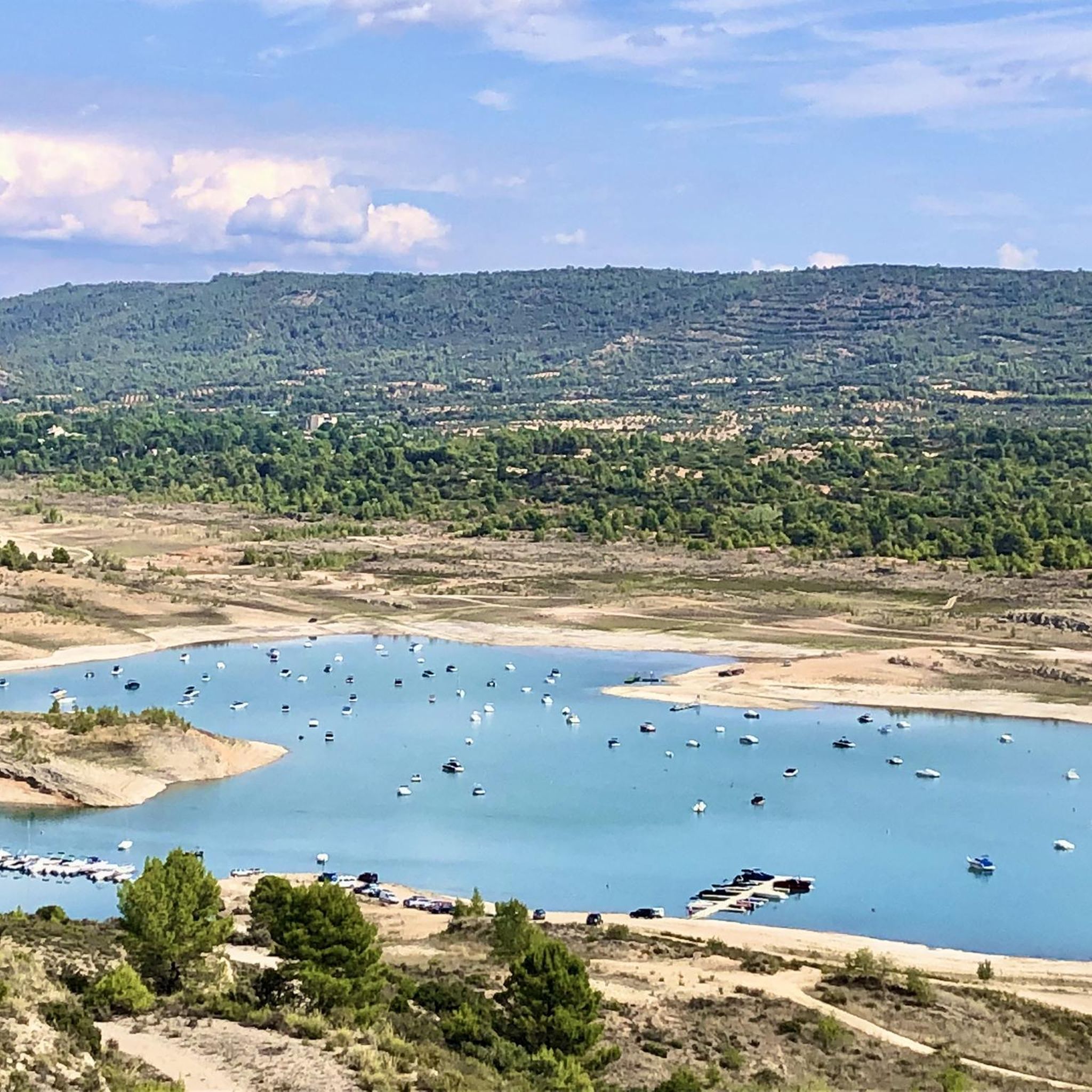
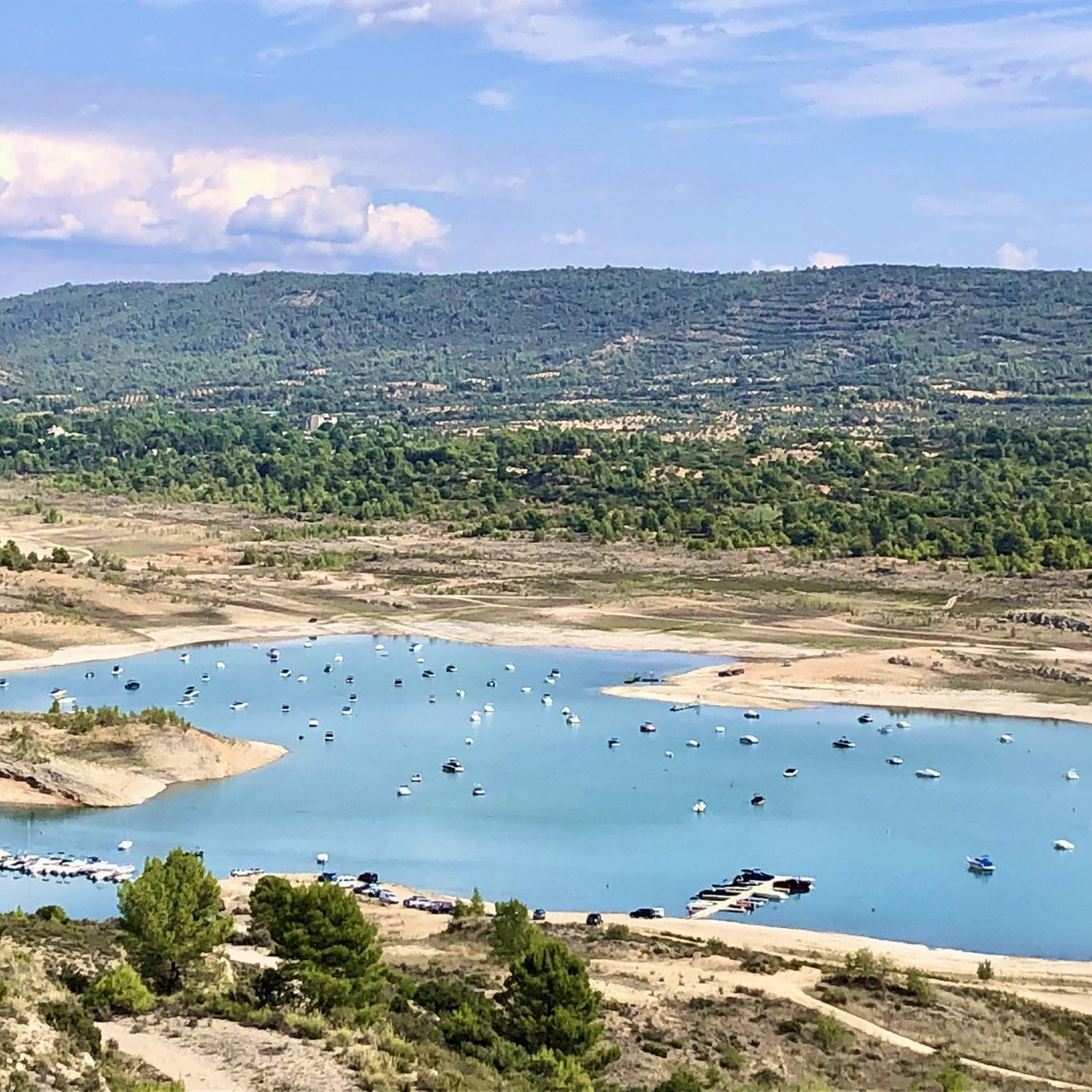
Beautiful town in Alto Tajo with exceptional landscapes.
0
0
The Valpinoso stream, also known as the Cueva stream (which is very close), and the Navazos stream. It looks like a medieval bridge made entirely of stone. Next to it are the old Wash House and the Los Caños Fountain.
0
0
Beautiful place, surrounded by nature from all angles.
0
1

Autumn landscapes and sunsets
0
0
An elevated place with splendid landscapes throughout its surroundings. It is worth visiting.
0
0

The entrance to the summit is spectacular, it is the geographical ceiling of the Alcarria and the views are magnificent, practically the entire Alcarria Alta, the Serranía de Guadalajara, the Sierra de Ayllón, the popular Ocejón and the Sierra de Guadarrama. And the towns of Viana de Mondéjar and La Puerta from a bird's eye view. The summit plain has a circular path around the summit that may be covered in grass, although it can be seen in the terrain. A good vantage point is the north side, with views of the Elongated Tit. Around the perimeter there are some wooden sticks that can be confused with trail signs. In reality, they indicate the limit of the danger zone. To avoid approaching the cliffs, the path runs a few meters inside.
0
0
The Tetas de Viana constitute an extraordinary place from a defensive point of view, which is why they have been inhabited since ancient times. At present they constitute a spectacular viewpoint of the surrounding landscape. From them you can see the beautiful surrounding towns, Trillo, Viana de Mondejar, and La Puerta (at the entrance to Rocas Castle).
0
0

So called "La Piedra Molón" are the remains of a truncated conical grinding stone. From this point we can enjoy the spectacular views of the Sierras de Bascuñana and the Rodenal.
0
0
Frequently Asked Questions
How many hiking trails are available around Peralveche?
There are over 4 hiking routes around Peralveche, offering diverse experiences from moderate paths to more challenging ascents. The komoot community has explored these trails over 50 times, with an average rating of 5.0 stars.
What kind of terrain can I expect on hikes near Peralveche?
The terrain around Peralveche is characterized by an elevated plateau, offering panoramic views of surrounding valleys, abundant pine forests, and low-lying mountains. You'll encounter unique geological formations like the Tetas de Viana and karst features such as rock arches and limestone walls, making for varied exploration.
Are there any challenging hikes in the Peralveche area?
Yes, Peralveche offers several challenging routes. For instance, the Tetas de Viana Loop is a difficult 4.2-mile (6.8 km) trail exploring the distinctive twin peaks. Another demanding option is the On the shores of the Entrepeñas Reservoir — circular from Mantiel along the Tajo Natural Path, which is a longer 13.4-mile (21.6 km) difficult hike.
Are there any circular hiking routes around Peralveche?
Yes, many of the trails around Peralveche are circular. The Tetas de Viana Loop is a popular circular option. Another great choice is the Rambla del Avellano – circular desde Arbeteta – Parque Natural del Alto Tajo, a moderate 6.6-mile (10.6 km) path through the Alto Tajo Natural Park.
What natural landmarks or viewpoints can I see while hiking near Peralveche?
The region is rich in natural landmarks. The prominent Tetas de Viana (1,145 m) offer spectacular panoramic views. You can also explore Peña del Arco, a natural monument featuring a rock arch and fascinating karst formations. The La Redonda (1,144 m) peak, one of the Tetas de Viana, is also accessible for hiking and provides excellent vistas.
Are there any family-friendly hiking options in Peralveche?
While the guide features some more challenging routes, the area's diverse landscapes offer potential for family-friendly walks. Consider exploring shorter sections of trails or paths around the village itself, which has charming streets adorned with grapevines. Always check the specific route details for distance and elevation to ensure it suits your family's ability.
Can I hike with my dog around Peralveche?
Peralveche's natural environment, with its extensive forests and varied terrain, is generally welcoming for dogs. Many trails in the region are suitable for hiking with pets. However, always keep your dog on a leash, especially in natural parks or near livestock, and ensure you carry enough water for both yourself and your companion.
What is the best time of year to go hiking in Peralveche?
The Alcarria region, where Peralveche is located, offers pleasant hiking conditions during spring and autumn when temperatures are milder and the natural scenery is vibrant. Summer can be hot, making early morning or late afternoon hikes preferable. Winter hiking is possible, but be prepared for cooler temperatures and potentially some snow at higher elevations.
Are there any trails that lead to lakes or reservoirs near Peralveche?
Yes, the region is close to several bodies of water. The On the shores of the Entrepeñas Reservoir — circular from Mantiel along the Tajo Natural Path specifically explores the area around the Entrepeñas Reservoir. You can also find other lakes like Azud de Pareja and Peñafiel Lake in the vicinity.
What do other hikers enjoy most about hiking in Peralveche?
The area is highly rated by the komoot community, with an average score of 5.0 stars. Reviewers often praise the spectacular panoramic views from locations like the Tetas de Viana, the unique geological formations such as Peña del Arco, and the diverse natural landscapes of pine forests and valleys that make for varied and engaging hikes.
Are there any cultural or historical sites to visit near the hiking trails?
While primarily known for its natural beauty, the nearby municipality of Valdeolivas features the Romanesque Church of Nuestra Señora de la Asunción. This 12th-13th century temple, declared a Bien de Interés Cultural, can be an interesting stop for visitors looking to combine hiking with cultural exploration.
Most popular routes around Peralveche
Most popular attractions around Peralveche

Get inspired with the komoot mobile app


Explore more
Browse the best Hikes in other regions.
