The best road cycling routes around Santa Brígida
4.5
(352)
11,017
riders
14
rides
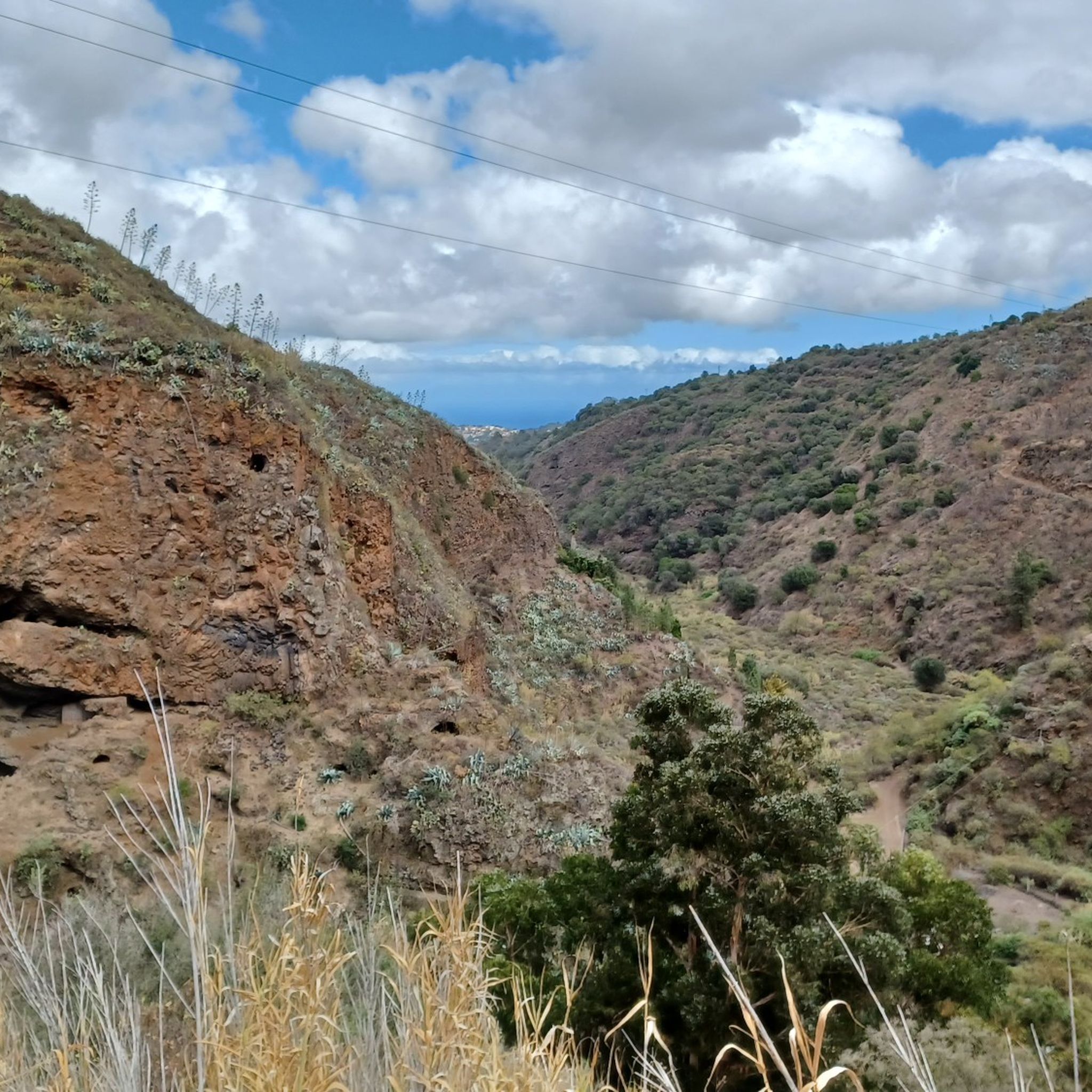
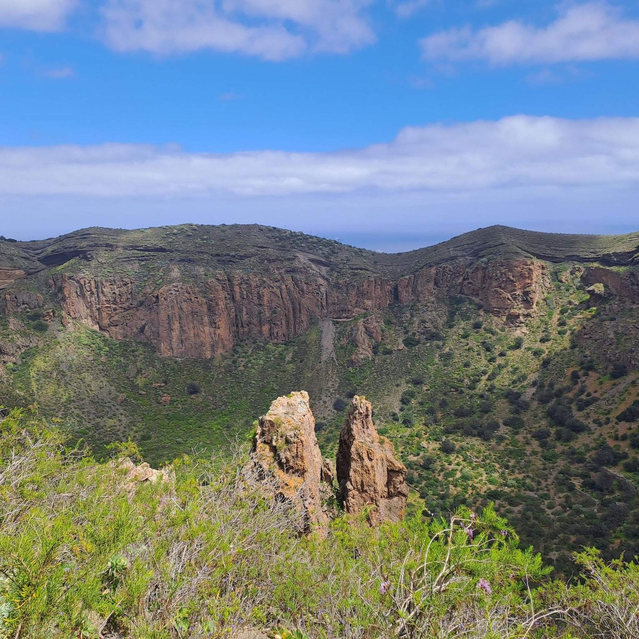
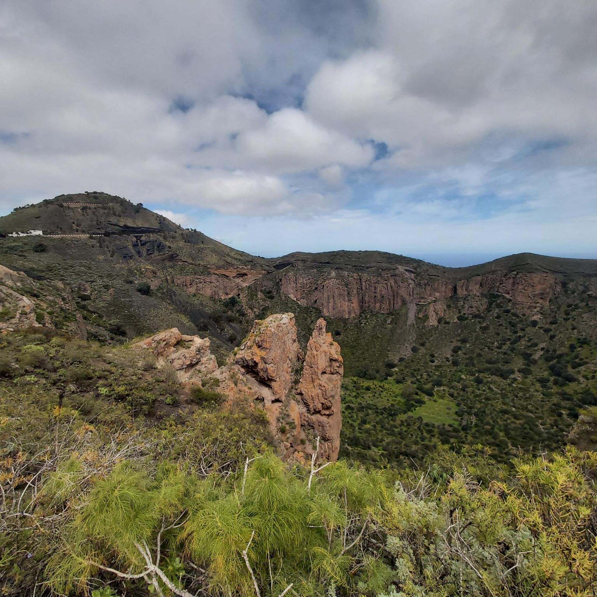
Road cycling routes around Santa Brígida offer diverse terrain across a volcanic landscape, characterized by significant elevation changes and panoramic views. The region features polylobulated basins, abrupt hillsides, and fertile plains with vineyards and fruit trees. Notable natural features include the Caldera de Bandama, an extinct volcanic crater, and extensive palm tree groves. Cyclists can experience challenging ascents towards higher points like the Pico de las Nieves, Gran Canaria's highest point.
Best road cycling routes around Santa Brígida
- The most popular road cycling route is View of Teror – Best way out of Las Palmas loop from Gran Parada, a 39.5 miles (63.6 km) difficult trail that takes 3 hours 28 minutes to complete. This route features significant elevation gain and offers expansive views.
- Another top favourite among local road cyclists is Carretera de San Lorenzo – Tenoya Tunnel loop from Jardín Botánico Viera y Clavijo, a moderate 28.7 miles (46.2 km) path. This route navigates varied terrain, including sections near the botanical garden.
- Local road cyclists also love the Best way out of Las Palmas – Cenobio de Valerón loop from Santa Brígida, a 63.3 miles (101.9 km) trail leading through diverse landscapes, often completed in about 5 hours 55 minutes.
- Road cycling around Santa Brígida is defined by volcanic formations, challenging hills, and scenic vineyards. The network offers options for different ability levels, from moderate loops to difficult, long-distance ascents.
- The routes in Santa Brígida are highly rated by the komoot community with an average score of 4.7 stars from over 80 reviews. More than 3000 road cyclists have used komoot to explore Santa Brígida's varied terrain.
Last updated: August 29, 2026
3.5
(2)
71
riders
50.0km
03:17
1,570m
1,570m
Hard road ride. Very good fitness required. Mostly well-paved surfaces and easy to ride.
53
riders
48.7km
03:03
1,370m
1,370m
Hard road ride. Very good fitness required. Mostly well-paved surfaces and easy to ride.

Sign up for free
50
riders
81.6km
04:44
1,880m
1,880m
Hard road ride. Very good fitness required. Some segments of this route may be unpaved and difficult to ride.
3.7
(3)
98
riders
41.9km
02:19
860m
860m
Moderate road ride. Good fitness required. Mostly well-paved surfaces and easy to ride.
18
riders
21.9km
01:18
530m
530m
Moderate road ride. Good fitness required. Mostly well-paved surfaces and easy to ride.
Get access to more routes and recommendations from other explorers.
Sign up for free
Already have an account?
Our route recommendations are based on thousands of hikes, rides, and runs completed by other people on komoot.
Start today with a free account
Your next adventure awaits.
Login or Signup

Tips from the Community

Very nice Sunday market. At forty-two degrees Celsius, not too crowded either.
0
0

I loved this village . Must visiting !
0
0

Anyone wishing to visit the market on Sunday should arrive by 8:00 a.m.
0
0

Said to be the highest point on Gran Canaria. Great view.
1
0

It is not recommended for road biking unless you go around the Teror road. But the town itself is not for cycling.
0
0

Teror is a charming town worth seeing. The water steps, the church, the pedestrian zone are just a few of the sights that you can explore. The pretty houses with wooden balconies are striking. There is a market in Teror on Sundays, and it is REALLY busy. If you want to visit the town, it is better to take another day, if possible...
3
1

Clean toilet. Open when the botanical garden is open
0
0
Frequently Asked Questions
What kind of terrain can I expect when road cycling around Santa Brígida?
Santa Brígida offers a diverse volcanic landscape with significant elevation changes. You'll encounter polylobulated basins, abrupt hillsides, and fertile plains adorned with vineyards and fruit trees. Routes often feature challenging ascents, especially towards higher points like the Pico de las Nieves, Gran Canaria's highest point, providing rewarding panoramic views.
Are there road cycling routes suitable for beginners or those looking for an easier ride?
Yes, while many routes offer significant challenges, there are options for less experienced cyclists. For a moderate ride with beautiful scenery, consider the San Mateo – Quesería Yo Sin Ti loop from Santa Brígida, which covers about 22 kilometers with a manageable ascent.
What are some of the more challenging or long-distance road cycling routes in the area?
For experienced cyclists seeking a challenge, Santa Brígida offers several difficult routes. A notable long-distance option is the Best way out of Las Palmas – Cenobio de Valerón loop from Santa Brígida, spanning over 100 kilometers with nearly 2,400 meters of elevation gain. The region's roads also lead towards the demanding climb of Pico de las Nieves, a quintessential challenge for island cyclists.
What natural landmarks or scenic viewpoints can I expect to see on a road cycling tour?
Road cycling routes around Santa Brígida often pass by impressive natural features. The Caldera de Bandama, an extinct volcanic crater, offers magnificent views across the central and eastern parts of Gran Canaria. You'll also find extensive palm tree groves and picturesque vineyards, especially in the fertile plains.
Are there any circular road cycling routes available?
Yes, many of the road cycling routes around Santa Brígida are designed as loops, allowing you to start and finish in the same location. For example, the Carretera de San Lorenzo – Tenoya Tunnel loop from Jardín Botánico Viera y Clavijo is a moderate 46-kilometer circular path that navigates varied terrain.
What do other road cyclists enjoy most about cycling in Santa Brígida?
The komoot community highly rates road cycling in Santa Brígida, with an average score of 4.7 stars from over 80 reviews. Cyclists frequently praise the diverse volcanic landscapes, the challenging yet rewarding climbs, and the panoramic views offered along the routes. The mostly paved surfaces also make for an enjoyable road biking experience.
Can I find routes that pass by interesting historical or cultural sites?
While primarily focused on natural beauty, some routes may offer glimpses of the region's cultural heritage. After your ride, you can explore the historic village of Santa Brígida, with its neo-Gothic Parish Church, or visit the Atalaya de Santa Brígida to see pre-Hispanic cave houses and traditional pottery.
Are there any waterfalls to see near the cycling routes?
While not directly on the road cycling routes, the Barranco de los Cernícalos, a short distance from Santa Brígida, is known for its beautiful waterfalls. You can explore highlights like the Small Waterfall or the Large Waterfall by hiking, making for a great post-ride activity.
What is the best time of year for road cycling in Santa Brígida?
Gran Canaria generally offers favorable cycling conditions year-round due to its mild climate. However, the cooler months from autumn to spring (October to May) are often preferred for road cycling in Santa Brígida, as temperatures are more comfortable for longer rides and challenging ascents. Summers can be warm, especially at lower elevations.
Are there any specific routes that offer coastal views or lead to the coast?
While Santa Brígida itself is inland, some longer routes extend towards the coast, offering a mix of mountain and sea views. For instance, the Castillo de San Cristóbal – Castillo de la Luz loop from Pico de Bandama, a moderate 51-kilometer ride, includes sections that bring you closer to the coastal areas and historical castles.
Are there options for family-friendly road cycling in Santa Brígida?
While many routes in Santa Brígida involve significant elevation, families with older children or those comfortable with moderate climbs can find suitable options. Look for routes described as 'moderate' with shorter distances and less extreme elevation changes. It's always recommended to check the route profile and difficulty before setting out with family.
Most popular routes around Santa Brígida
Most popular attractions around Santa Brígida

Get inspired with the komoot mobile app


Explore more
Browse the best Road cycling routes in other regions.
