The best running trails around Majaelrayo
544
runners
42
runs
Jogging around Majaelrayo offers challenging routes through a mountainous landscape. The region is characterized by significant elevation changes and rugged paths, providing a demanding experience for runners. Many trails feature substantial ascents and descents, making them suitable for those seeking a vigorous workout. The area's natural terrain contributes to the difficulty of most running routes.
Best jogging routes around Majaelrayo
- The most popular jogging route is GR 60 Pueblos de la Arquitectura Negra - Senderos GR, a 7.0 miles (11.3 km) trail that takes 2 hours 14 minutes to complete. This route features notable elevation gain across varied terrain.
- Another top favourite among local runners is Aljibe Pools Circular Trail, a difficult 6.9 miles (11.1 km) path. This circular route offers a consistent challenge with its ascents and descents.
- Local runners also love the Campillo de Ranas – Pico Ocejón loop from Majaelrayo, a 12.1 miles (19.5 km) trail leading through mountainous landscapes, often completed in about 2 hours 59 minutes.
- Jogging around Majaelrayo is defined by hilly terrain, significant elevation changes, and rugged paths. The network offers options primarily for experienced runners, with a few moderate routes available.
- The guide includes highly-rated routes that showcase the best of the region's landscape. More than 400 runners have used komoot to explore Majaelrayo's varied terrain.
Last updated: July 2, 2026
12
runners
11.3km
02:14
760m
760m
Hard run. Very good fitness required. Sure-footedness, sturdy shoes and alpine experience required.
11.1km
01:34
360m
360m
Hard run. Very good fitness required. Sure-footedness, sturdy shoes and alpine experience required.

Sign up for free
53
runners
19.5km
03:00
840m
840m
Hard run. Very good fitness required. Sure-footedness, sturdy shoes and alpine experience required.
38
runners
26.1km
04:03
1,050m
1,050m
Hard run. Very good fitness required. Sure-footedness, sturdy shoes and alpine experience required.
36
runners
14.2km
02:40
840m
840m
Hard run. Very good fitness required. Sure-footedness, sturdy shoes and alpine experience required.
Get access to more routes and recommendations from other explorers.
Sign up for free
Already have an account?
Our route recommendations are based on thousands of hikes, rides, and runs completed by other people on komoot.
Start today with a free account
Your next adventure awaits.
Login or Signup

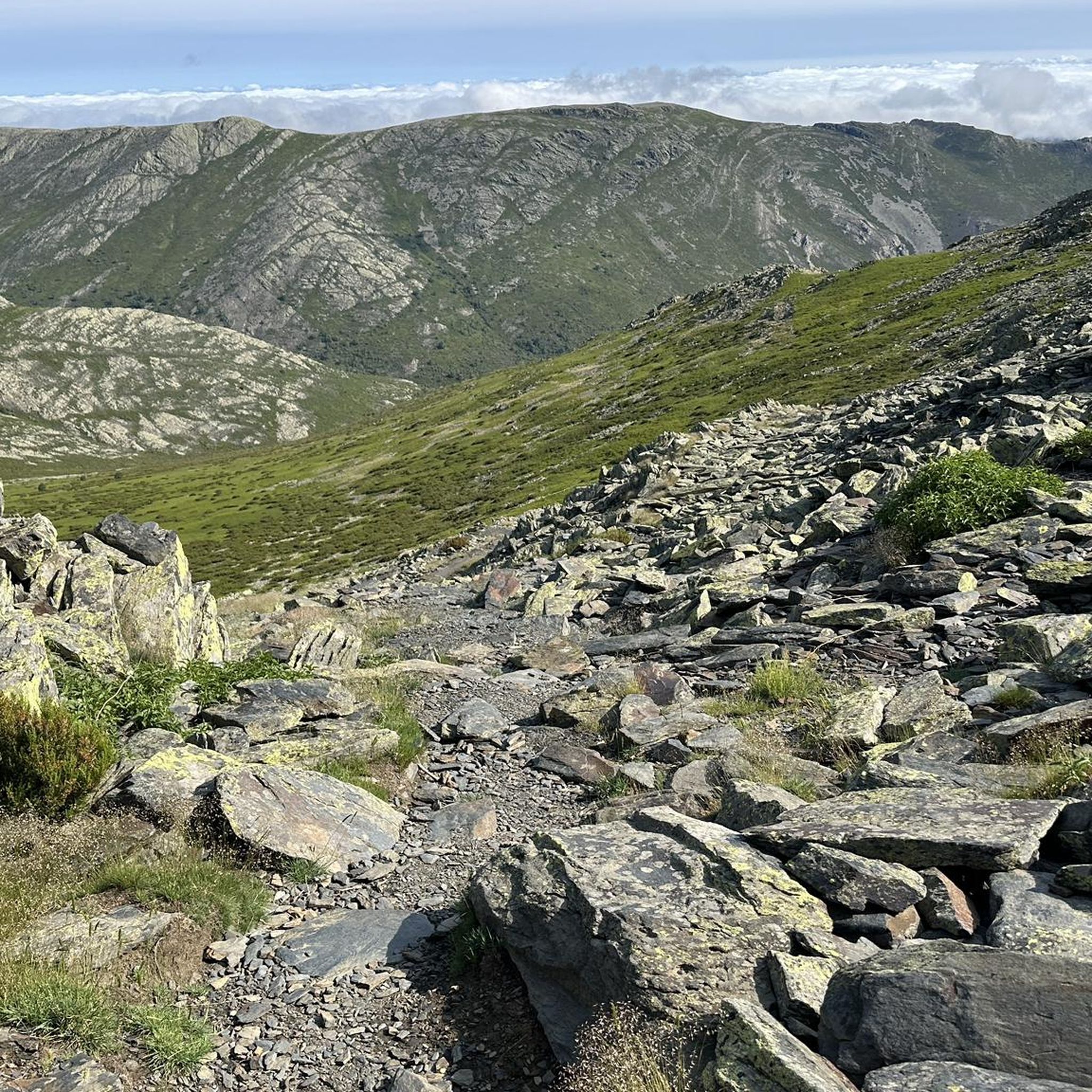
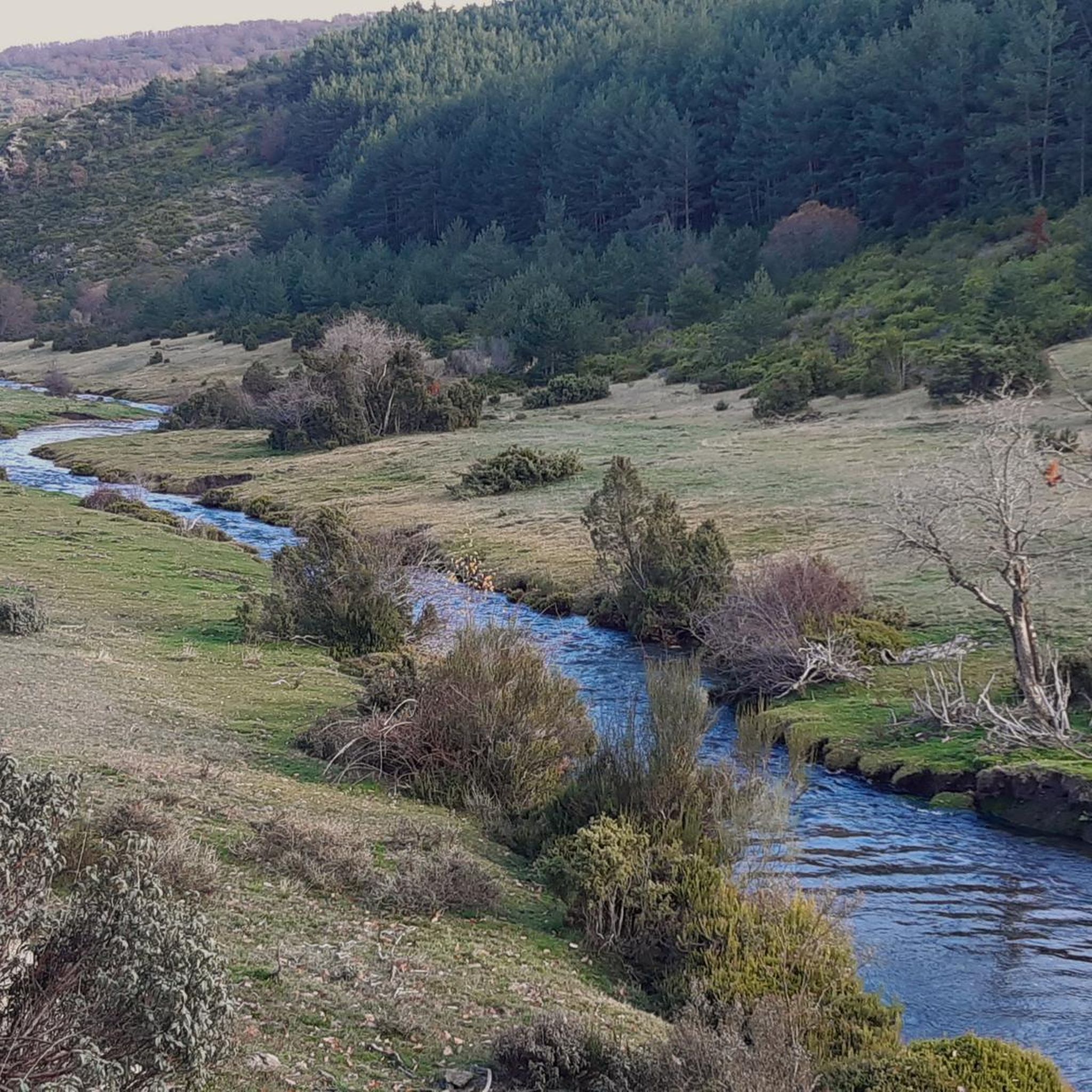
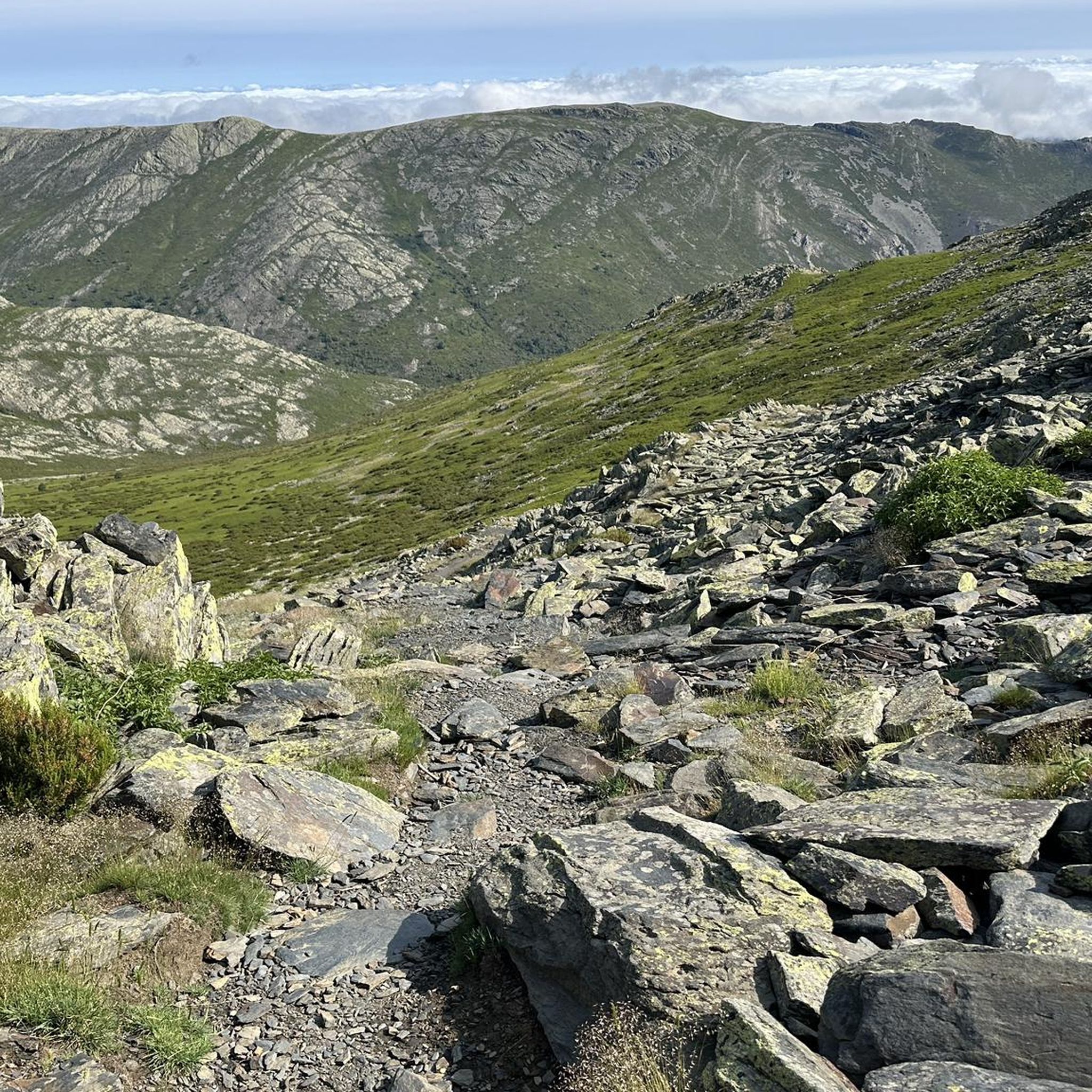
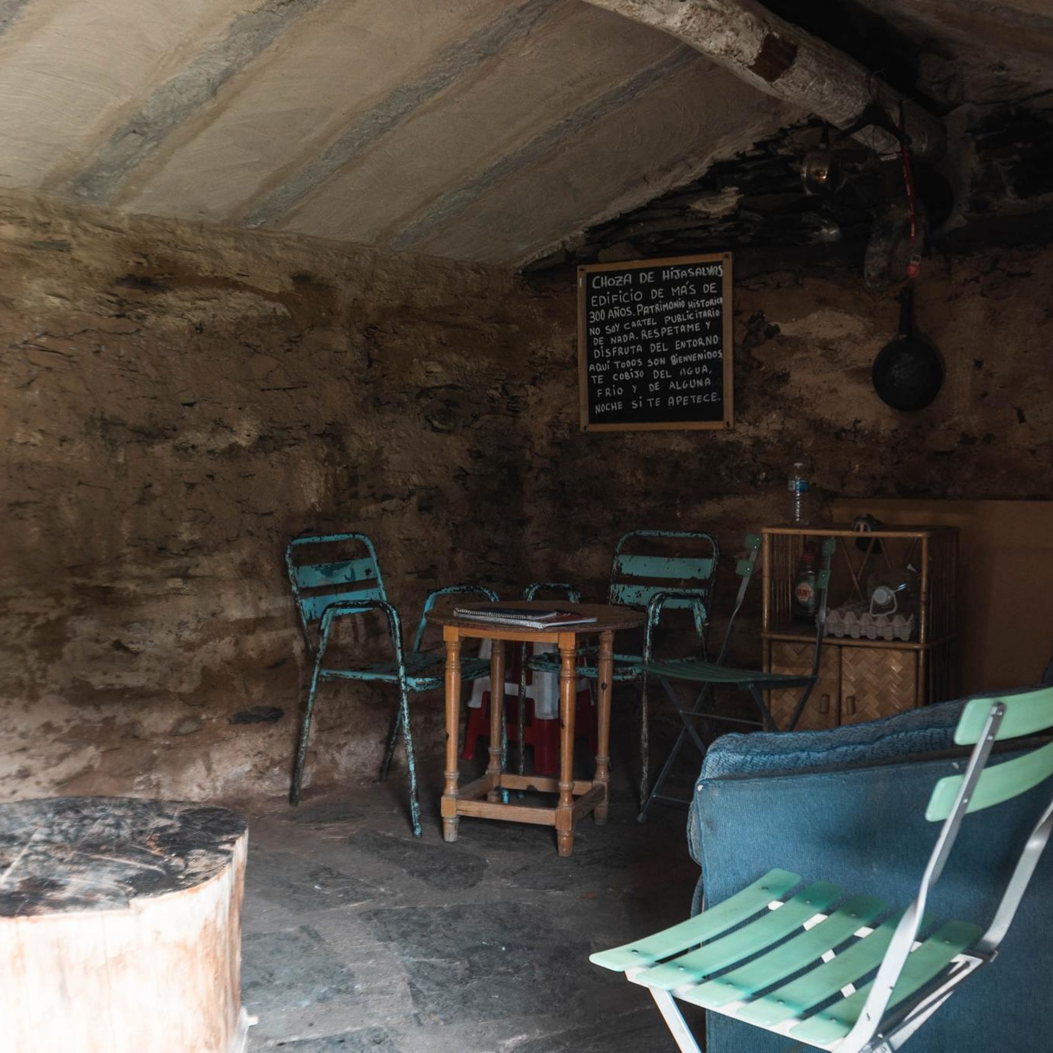
Other adventures around Majaelrayo

Tips from the Community

Beautiful Black town in the north of Guadalajara, with a beautiful Black Church.
0
0

The most popular route to ascend Pico Ocejón begins in Valverde de los Arroyos and is known for its scenic beauty and moderate difficulty. The hike is approximately 14.74 km and typically takes around 6 hours with stops. Along the way, hikers can enjoy spectacular views and the rich biodiversity of the area.
6
0
The most popular route to ascend Pico Ocejón begins in Valverde de los Arroyos and is known for its scenic beauty and moderate difficulty. The hike is approximately 14.74 km and typically takes around 6 hours with stops. Along the way, hikers can enjoy spectacular views and the rich biodiversity of the area.
6
0

The climb is hard, but it is worth it. Although we were not lucky enough to see all the scenery that should be seen from that height. The descent is almost harder than the ascent.
1
0
At 2049 metres above sea level, it is one of the highest and most popular peaks for hiking in the region. There are several routes to climb Pico Ocejón, the most common being those starting from Majaelrayo and Valverde de los Arroyos. Both routes offer stunning landscapes and the opportunity to enjoy nature at its best.
6
0

Very fun 2k trail between Campillo and Robleluengo
3
0
beautiful village of the BLACK VILLAGES
3
0
beautiful enclave in the BLACK VILLAGES IN GUADALAJARA
2
0
Frequently Asked Questions
What is the general difficulty level of running routes in Majaelrayo?
Jogging around Majaelrayo is characterized by challenging, mountainous terrain with significant elevation changes and rugged paths. Most of the 40 available routes are classified as difficult, with only a few moderate options. This makes the area particularly suitable for experienced runners seeking a vigorous workout.
Are there any easy or beginner-friendly running routes in Majaelrayo?
The region of Majaelrayo is primarily known for its demanding trails. Out of the 40 running routes, none are classified as easy, and only two are considered moderate. Beginners might find the terrain challenging due to the significant elevation changes and rugged paths.
What is the typical length and duration of running trails in Majaelrayo?
Running trails in Majaelrayo vary in length and duration. For instance, the GR 60 Pueblos de la Arquitectura Negra - Senderos GR is about 7.0 miles (11.3 km) and takes around 2 hours 14 minutes. Longer routes, like the Campillo de Ranas – Pico Ocejón loop from Majaelrayo, stretch to 12.1 miles (19.5 km) and can take nearly 3 hours to complete.
Are there circular running routes available in the Majaelrayo area?
Yes, Majaelrayo offers several circular running routes. A popular option is the Aljibe Pools Circular Trail, which is a difficult 6.9-mile (11.1 km) path offering consistent challenges with its ascents and descents. Another notable circular route is the Pico Ocejón – Pico Ocejón loop from Majaelrayo, covering 14.1 miles (22.6 km).
What kind of natural attractions or landmarks can I see while running in Majaelrayo?
While running in Majaelrayo, you can encounter various natural and cultural landmarks. The routes often pass through areas with traditional settlements like La Hiruela and Valverde de los Arroyos. You might also spot the historic Trillos Bridge or enjoy views of prominent peaks such as Pico Ocejón.
Is Majaelrayo a good destination for trail running with dogs?
Majaelrayo's rugged and natural trails are generally suitable for trail running with dogs, provided your dog is accustomed to challenging terrain and significant elevation changes. Always ensure your dog is on a leash, especially in areas with wildlife or livestock, and carry enough water for both of you, as water sources might be limited on some routes.
What is the best time of year to go running in Majaelrayo?
The best time for running in Majaelrayo is typically during spring and autumn when temperatures are milder. Summer can be very hot, making early morning or late afternoon runs preferable. Winter offers a unique experience, but trails can be icy or snowy, especially at higher elevations, requiring appropriate gear and caution.
Are there any routes that offer views of prominent mountain peaks?
Absolutely. Many routes in Majaelrayo provide stunning views of the surrounding mountain peaks. The Campillo de Ranas – Pico Ocejón loop from Majaelrayo, for example, leads through mountainous landscapes and offers vistas of Pico Ocejón. Other notable peaks in the area include Pico del Lobo and Ocejoncillo Summit.
What should I wear for running on Majaelrayo's trails?
Given the mountainous and rugged nature of Majaelrayo's trails, it's recommended to wear appropriate trail running shoes with good grip and ankle support. Layered clothing is advisable to adapt to changing weather conditions, and a lightweight running pack with water, snacks, and a first-aid kit is essential for longer or more remote routes.
How many running routes are available in total around Majaelrayo?
There are 40 running routes available around Majaelrayo. These routes primarily cater to experienced runners due to the challenging terrain, significant elevation changes, and rugged paths.
What do other runners say about the running experience in Majaelrayo?
Over 400 runners have used komoot to explore Majaelrayo's varied terrain. While specific ratings are not available, the community frequently highlights the challenging yet rewarding nature of the trails, appreciating the demanding experience and the beautiful, rugged landscapes.
Most popular attractions around Majaelrayo

Get inspired with the komoot mobile app


Explore more
Browse the best Running Trails & Routes in other regions.
