The best walks and hikes around Canredondo
4.4
(15)
166
hikers
7
hikes
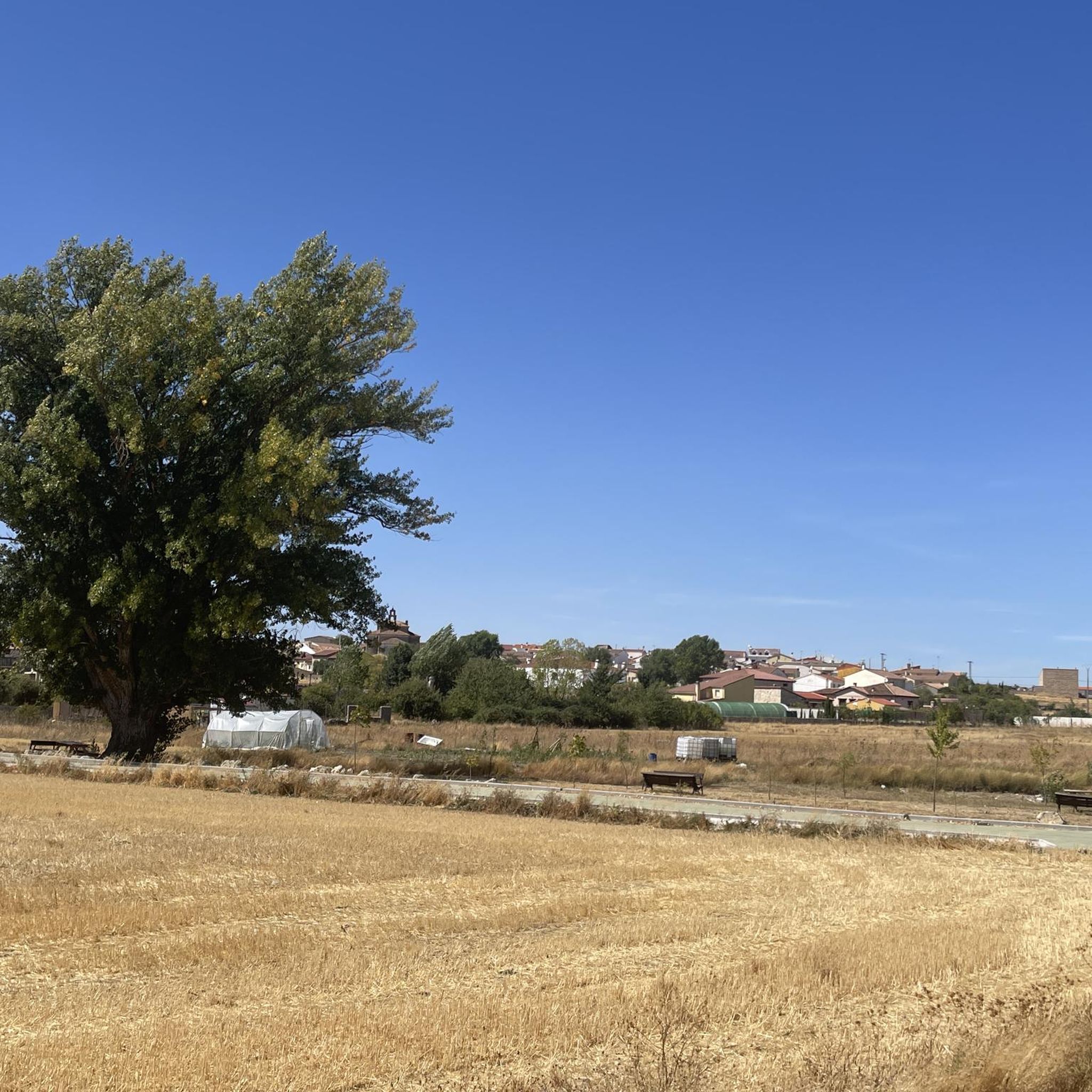
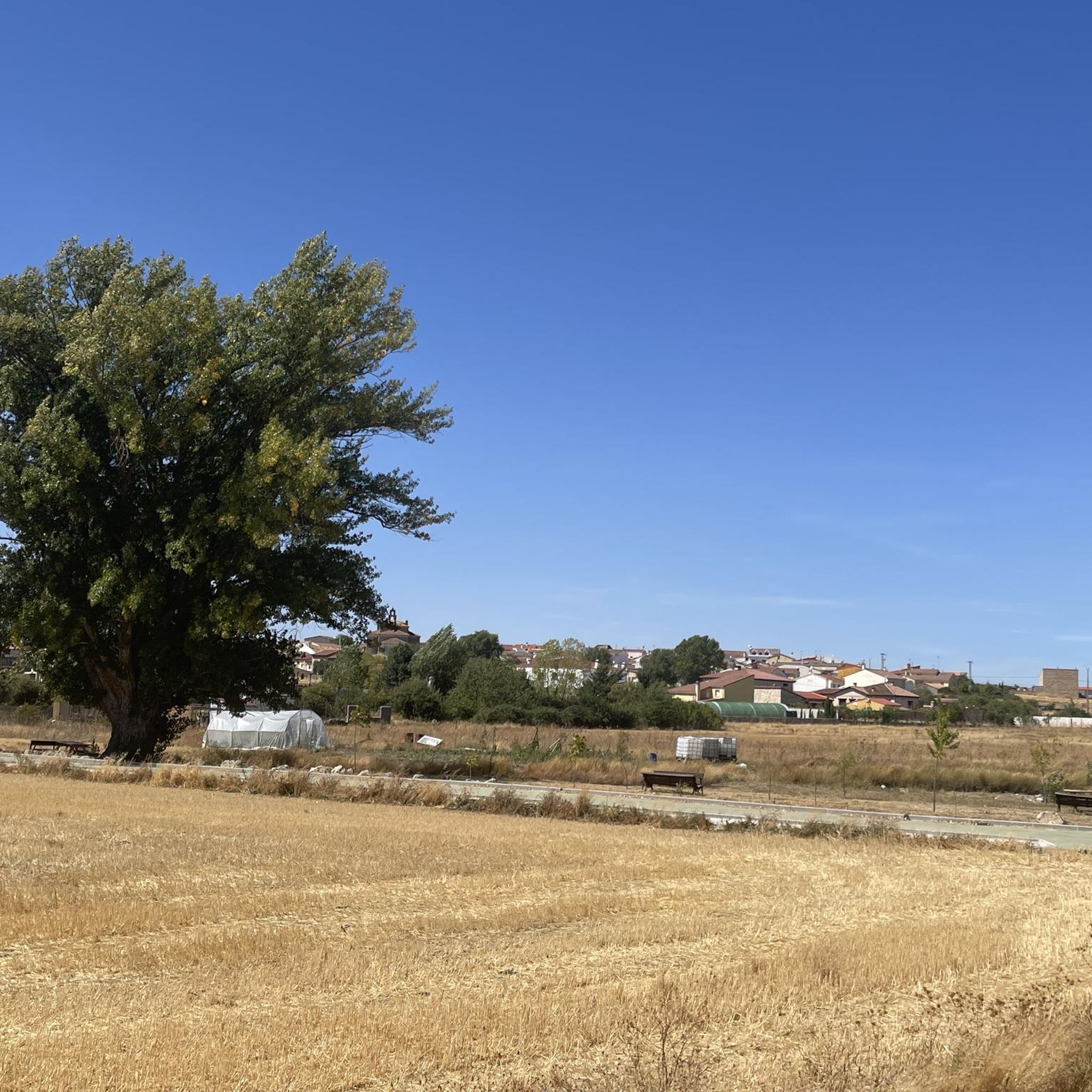
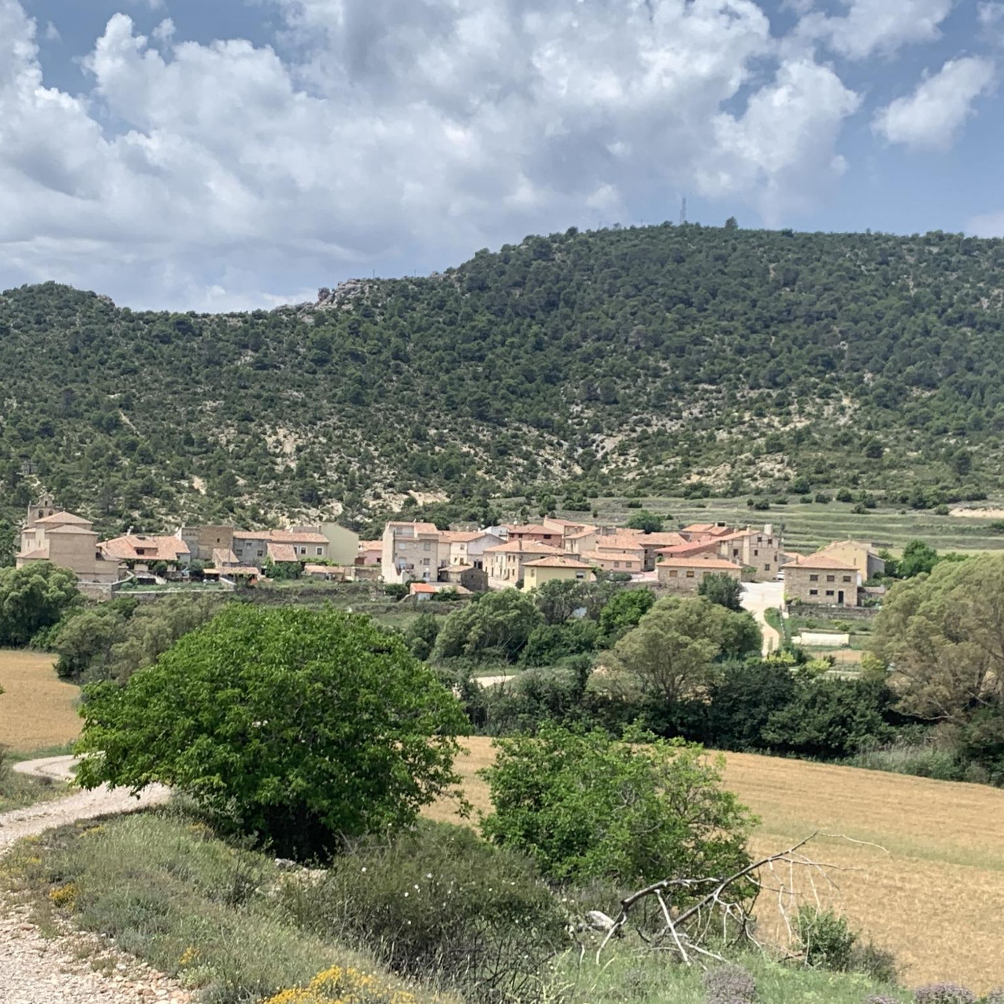
Hiking around Canredondo, a village in the Alcarria region of Guadalajara, Spain, offers exploration within a natural setting at an altitude of 1162 meters. The area is characterized by water features, oak and holm oak forests, and diverse landscapes. Nearby, the Sierra Norte de Guadalajara Natural Park presents mountains, valleys, fluvial canyons, cliffs, and gorges. The geology includes slate, quartzite, gneiss, and limestone formations, supporting varied forest ecosystems such as beech, oak, holly, birch, and pine.
Best hiking trails around…
Last updated: June 28, 2026
4.5
(2)
6
hikers
11.8km
03:18
220m
220m
Moderate hike. Good fitness required. Easily-accessible paths. Suitable for all skill levels.
3.0
(1)
12
hikers
Moderate hike. Good fitness required. Mostly accessible paths. Sure-footedness required.

Sign up for free
5.0
(1)
1
hikers
4.14km
01:36
260m
270m
Hike the moderate 2.6-mile Hundido de Armallones to Salinas and Pico Alar Route in Alto Tajo, featuring river views and Pico Alar summit.
5.0
(3)
30
hikers
9.57km
02:43
220m
220m
Moderate hike. Good fitness required. Easily-accessible paths. Suitable for all skill levels.
5.0
(1)
3
hikers
5.87km
01:38
110m
110m
Easy hike. Great for any fitness level. Easily-accessible paths. Suitable for all skill levels.
Get access to more routes and recommendations from other explorers.
Sign up for free
Already have an account?
Our route recommendations are based on thousands of hikes, rides, and runs completed by other people on komoot.
Start today with a free account
Your next adventure awaits.
Login or Signup
Tips from the Community

It is a narrowing of the lateral cliffs of the Tagus River. It is also known as the Gate of the Alto Tajo. From this place upwards begins the Alto Tajo Natural Park.
0
0
On the right bank of the Tagus River, in the area of Hundido de Armallones, very close to the strait of La Tormellera, there is a curious waterfall of Piedra de Tuffa, which has been formed by the flow of water and time. It has great beauty.
0
0
On the banks of the Tagus River, at a crossroads, it is an ideal place to take a break on the route. If you approach the riverbank, you will be surprised by its majesty and bravery.
0
0
The nature do not stop surprising! It is a formation of Tolmos, (Vertical Rocks), ordered and organized like a procession of Friars who are going to perform their prayers. The ideal is to see them from the bed of the Reato River, both from the bottom and the top of the meander it forms. You can also get close to them and admire their great size.
1
0

Walk around the 14th century fortress, built by Don Juan Manuel. The castle has five towers, dominates the landscape and dominates the village below.
2
0

Beautiful natural pool in the course of the Tagus River where you can take advantage of a hot summer day to take a refreshing bath.
0
1
Summit with privileged views of the karstic system that occurs in the Hundido de Armallones.
3
0
Ruins of an old factory located at the intersection between the Tagus River and the Ablanquejo River. During the 19th century, this factory used both the brackish waters of a stream that flows into the Tagus and the rock salt that existed in the surrounding limestone rocks.
3
0
Frequently Asked Questions
How many hiking trails are available around Canredondo?
There are 6 hiking routes listed around Canredondo, offering a range of experiences in the region. These routes are generally rated as moderate or difficult, providing engaging challenges for hikers.
What kind of terrain can I expect on hikes near Canredondo?
The terrain around Canredondo is diverse, featuring mountains, valleys, fluvial canyons, cliffs, and gorges. You'll encounter varied geology with slate, quartzite, and limestone formations, as well as different forest ecosystems including oak, holm oak, beech, and pine forests.
Are there any circular hiking routes in the Canredondo area?
Yes, several circular routes are available. For example, the Viana Trail is a challenging 12.5 km circular path offering panoramic views. Another option is the moderate Peñascos de los Frailes — circular desde Las Inviernas, which takes you through a natural setting with water features and oak forests.
What natural features or landmarks can I see while hiking near Canredondo?
The region is rich in natural beauty. You can explore the diverse landscapes of the Sierra Norte de Guadalajara Natural Park, known for its mountains, valleys, and unique 'enchanted city' limestone formations. Notable natural attractions include the Cifuentes River Waterfall and the impressive Rocks of the Friars. The Pico del Alar is also a significant summit in the area.
Are there any waterfalls accessible on hikes around Canredondo?
Yes, the Cascadas del Río Cifuentes (waterfalls of the Cifuentes River) are a notable natural attraction located just 12.9 km from Canredondo. You can also find the Stone Waterfall (Cascada de Piedra) within the Parque Natural del Alto Tajo, which is featured on routes like the Pico del Alar circular route.
What is the best time of year to go hiking in Canredondo?
The Alcarria region, where Canredondo is located, offers pleasant hiking conditions during spring and autumn when temperatures are mild and the natural landscapes are vibrant. Summer can be hot, while winter hiking is possible but may require appropriate gear for colder conditions at higher altitudes.
Are the hiking trails around Canredondo suitable for families with children?
The routes around Canredondo are generally rated as moderate or difficult, with significant elevation gains and distances. While some families with older, experienced children might find them suitable, there are no specifically easy or family-friendly designated trails listed in this guide. Consider the fitness level of all participants before embarking on these routes.
Can I bring my dog on the hiking trails in Canredondo?
Generally, dogs are welcome on hiking trails in natural areas of Spain, provided they are kept under control, especially in protected areas like the Sierra Norte de Guadalajara Natural Park. Always ensure your dog is on a leash, especially near wildlife or livestock, and carry bags to clean up after them. Check local signage for any specific restrictions.
What do other hikers say about the trails in Canredondo?
The routes in Canredondo are highly rated by the komoot community, with an average score of 4.4 stars from over 10 reviews. Hikers often praise the diverse landscapes, the challenging yet rewarding paths, and the tranquil ambiance of the Alcarria region.
Are there any historical sites or towns to visit near Canredondo?
Yes, the area offers historical attractions. The town of Cifuentes is nearby and features the impressive Iglesia Parroquial El Salvador with Gothic and Romanesque architecture. You can also visit Trillo, which has the notable Trillo Bridge.
What is the difficulty level of hiking trails around Canredondo?
All 6 available routes around Canredondo are rated as either moderate or difficult. This means hikers should expect varied terrain, potentially steep ascents and descents, and distances that require a reasonable level of fitness and experience.
Are there opportunities for wildlife spotting while hiking in the region?
The Sierra Norte de Guadalajara Natural Park, which borders Canredondo, is recognized as a Special Protection Area for Birds (ZEPA) and harbors diverse ecosystems. This makes it an excellent area for wildlife spotting, particularly for various bird species. The varied forests also support other local fauna.
Most popular attractions around Canredondo

Get inspired with the komoot mobile app


Explore more
Browse the best Hikes in other regions.
