The best running trails around Canredondo
52
runners
5
runs
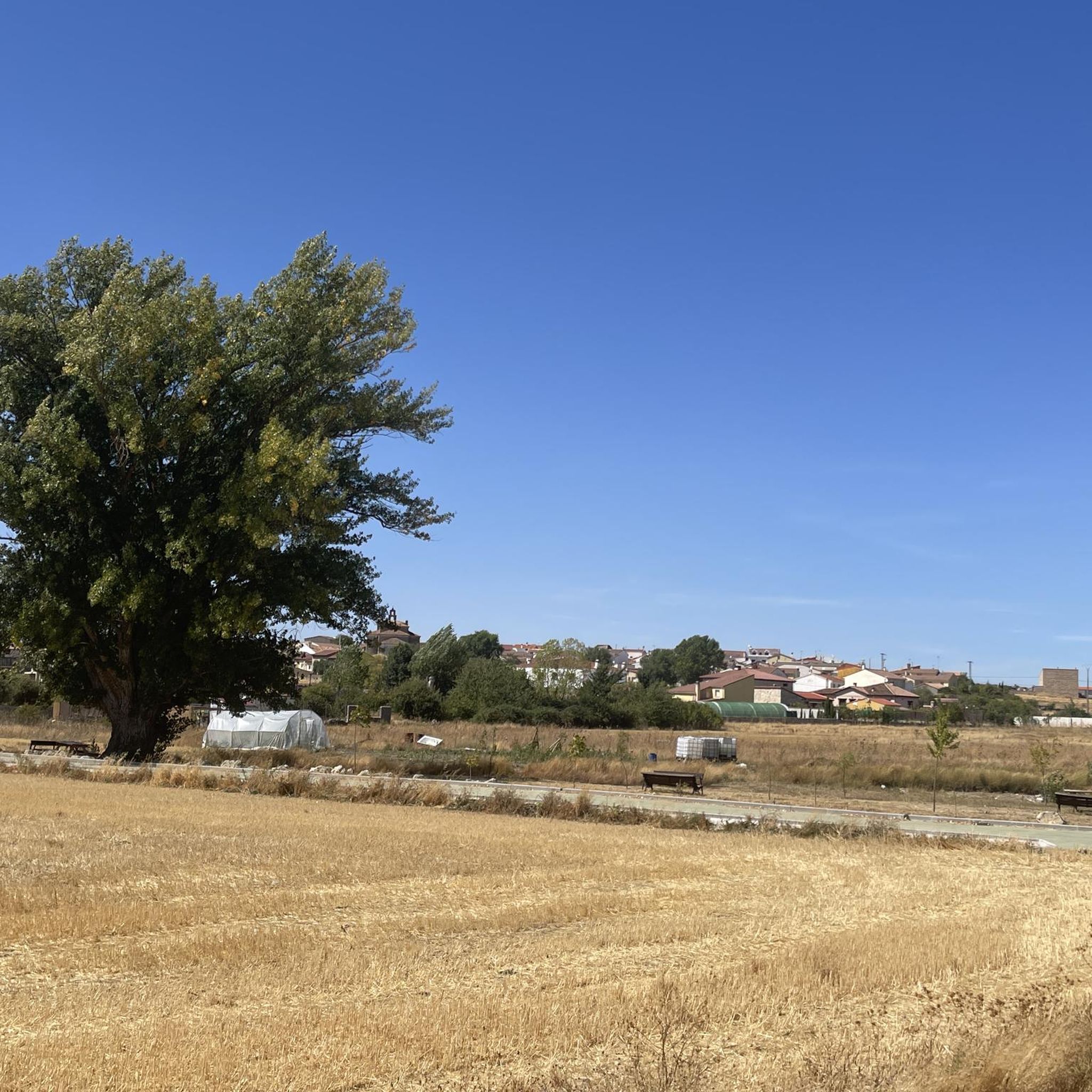
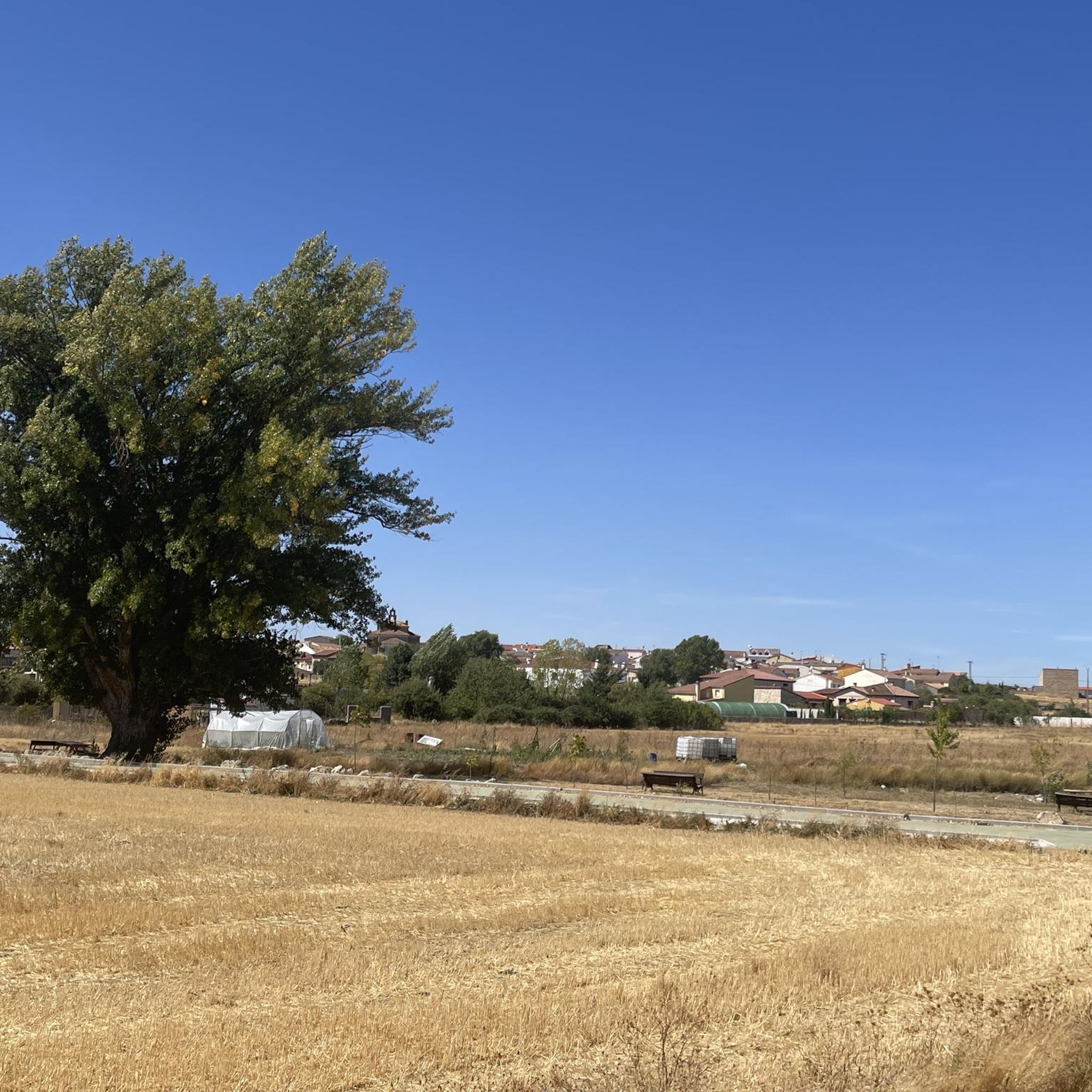
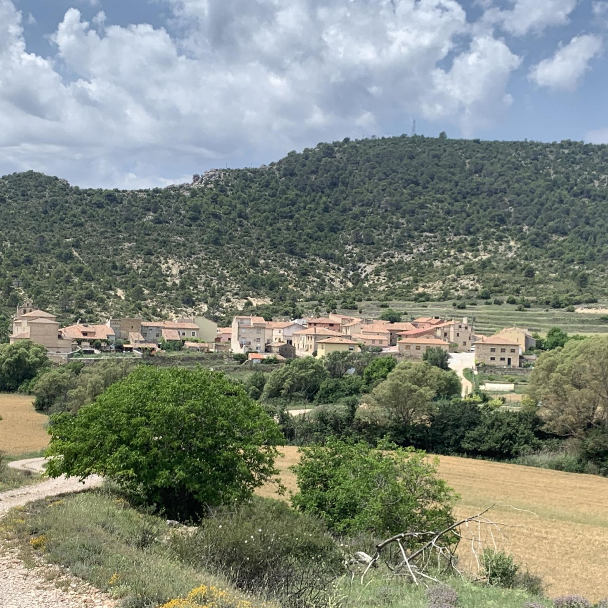
Jogging routes around Canredondo traverse a diverse landscape within the La Alcarria Alta region, characterized by undulating strata of limestones, gypsum, and red sandstone. Rivers have sculpted deep valleys and gorges, providing varied terrain for runners. The area features pine forests, offering shaded paths and softer ground surfaces, alongside elevated areas like "El Cerro Pinoso" that present uphill challenges and potential views.
Best jogging routes around Canredondo
- The most popular jogging route is Circular trailrunning through the Peñascos de los…
Last updated: June 28, 2026
Moderate run. Good fitness required. Mostly paved surfaces. Suitable for all skill levels.
15.5km
02:08
470m
470m
This difficult 9.6-mile (15.5 km) jogging trail in Alto Tajo Natural Park offers dramatic canyons, historic saltworks, and panoramic views.

Sign up for free
14
runners
8.80km
01:02
170m
170m
Hard run. Good fitness required. Sure-footedness, sturdy shoes and alpine experience required.
4
runners
7.44km
00:51
80m
80m
Moderate run. Good fitness required. Mostly paved surfaces. Suitable for all skill levels.
3
runners
10.5km
01:18
140m
140m
Moderate run. Good fitness required. Mostly paved surfaces. Suitable for all skill levels.
Our route recommendations are based on thousands of hikes, rides, and runs completed by other people on komoot.
Start today with a free account
Your next adventure awaits.
Login or Signup
Tips from the Community

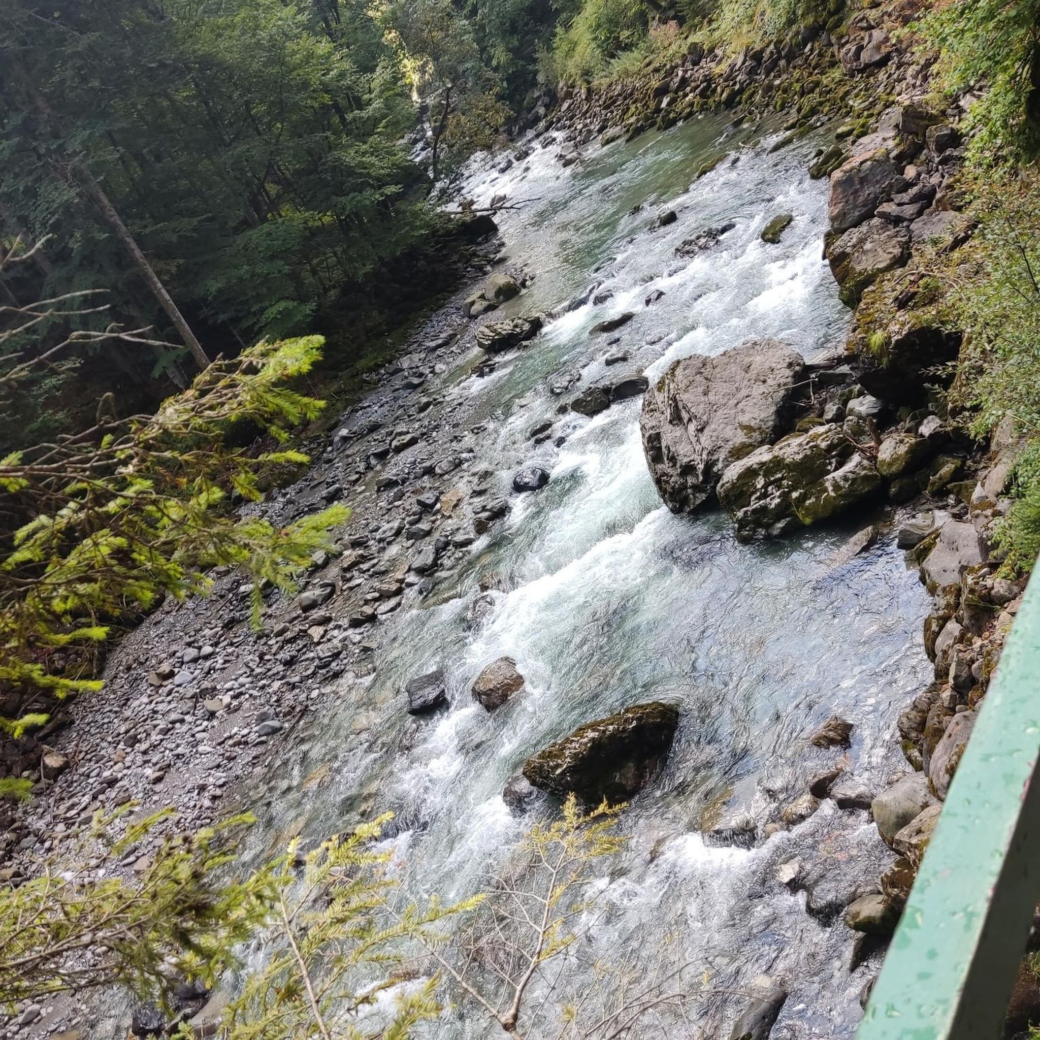
On the banks of the Tagus River, at a crossroads, it is an ideal place to take a break on the route. If you approach the riverbank, you will be surprised by its majesty and bravery.
0
0

The bridge is of medieval origin and already in the 16th century it attracted attention for having only one eye, very firm and of great beauty.
10
0

This bridge dates from the mid-16th century, but it is possible that an earlier bridge existed. It crosses the Tagus river that passes through the center of the town. It is the center of the city and several nice hiking trails pass through it.
1
0

Beautiful natural pool in the course of the Tagus River where you can take advantage of a hot summer day to take a refreshing bath.
0
1
Curious and spectacular alignment of natural monoliths, whose name comes from the appearance of being friars peeking through the trees.
1
0
Summit with privileged views of the karstic system that occurs in the Hundido de Armallones.
3
0
Ruins of an old factory located at the intersection between the Tagus River and the Ablanquejo River. During the 19th century, this factory used both the brackish waters of a stream that flows into the Tagus and the rock salt that existed in the surrounding limestone rocks.
3
0

A place not very visited although it is worth doing if you are in the area. Flanked by the Tajera Reservoir, these curious rock formations owe their name to the appearance of being friars peeking out from among the trees.
1
0
Frequently Asked Questions
How many running routes are available around Canredondo?
Komoot offers several dedicated running routes around Canredondo, with a total of 6 tours currently listed. These routes vary in difficulty, providing options for different fitness levels.
What kind of terrain can I expect on jogging trails in Canredondo?
The jogging trails in Canredondo traverse a diverse landscape within the La Alcarria Alta region. You'll encounter undulating strata of limestones, gypsum, and red sandstone, with rivers sculpting deep valleys and gorges. Expect a mix of surfaces, from shaded pine forests offering softer ground to elevated areas like 'El Cerro Pinoso' with uphill challenges and potential views.
Are there any circular running routes in the Canredondo area?
Yes, many of the running routes around Canredondo are designed as loops. For example, the Running loop from Trillo is a popular option, as is the Running loop from Cifuentes. These circular paths allow you to start and finish at the same point.
What are some scenic viewpoints or natural landmarks I can see while jogging?
Canredondo's trails offer several scenic spots. You might encounter geological formations like the 'Peñascos de los Frailes' on routes such as the Circular trailrunning through the Peñascos de los Frailes from Las Inviernas. Other notable natural features in the wider area include the Cifuentes River Waterfall and the Pico del Alar, which offers panoramic views.
Are there any challenging trail running options near Canredondo?
Absolutely. For those seeking a more demanding experience, the Hundido de Armallones, Salinas and Pico Alar Trail is classified as difficult, exploring gorges, salt flats, and a peak. The Running loop from Trillo also presents a difficult challenge with varied terrain.
What do other runners say about the jogging routes in Canredondo?
The running routes around Canredondo are well-regarded by the komoot community. Over 40 runners have explored the area using komoot, appreciating the varied terrain, from deep valleys and pine forests to elevated hills, which cater to different ability levels.
Are there any routes suitable for a moderate fitness level?
Yes, there are several moderate routes available. The Circular trailrunning through the Peñascos de los Frailes from Las Inviernas is a popular moderate option. Other moderate choices include the Running loop from Cifuentes and La Balsa loop from Cifuentes.
Can I find routes that pass by water features like waterfalls or rivers?
Yes, the region is characterized by rivers carving valleys. You can find routes that offer views of water features. The Cifuentes River Waterfall is a prominent natural attraction in the vicinity, and some routes may pass near it or offer views of the river itself. The Stone Waterfall (Cascada de Piedra) in Parque Natural del Alto Tajo is also a notable highlight nearby.
Are there any historical or cultural points of interest along the running paths?
While the focus is on natural beauty, the region does have historical elements. The term 'El Torreón' in the region research suggests an old tower, which could be a historical point of interest along a trail. Additionally, nearby settlements like Trillo and Cifuentes offer glimpses into local life and history, and some running loops start from these towns.
What is the typical elevation gain on running routes in Canredondo?
The elevation gain varies significantly depending on the route. For instance, the moderate Circular trailrunning through the Peñascos de los Frailes from Las Inviernas has an elevation gain of around 217 meters. More challenging routes like the Hundido de Armallones, Salinas and Pico Alar Trail can feature climbs of over 465 meters, offering substantial uphill challenges.
Are there any specific natural features like pine forests for softer running surfaces?
Yes, the region is known for its pine forests, referred to as 'El Pinar' and 'El Cerro Pinoso'. These areas offer shaded paths and softer ground surfaces, which are generally preferred by runners for their lower impact on joints compared to harder surfaces. Running through these forests provides a tranquil atmosphere and pleasant scents.
Most popular attractions around Canredondo

Get inspired with the komoot mobile app


Explore more
Browse the best Running Trails & Routes in other regions.
