The best walks and hikes around Cervantes
4.3
(101)
707
hikers
25
hikes
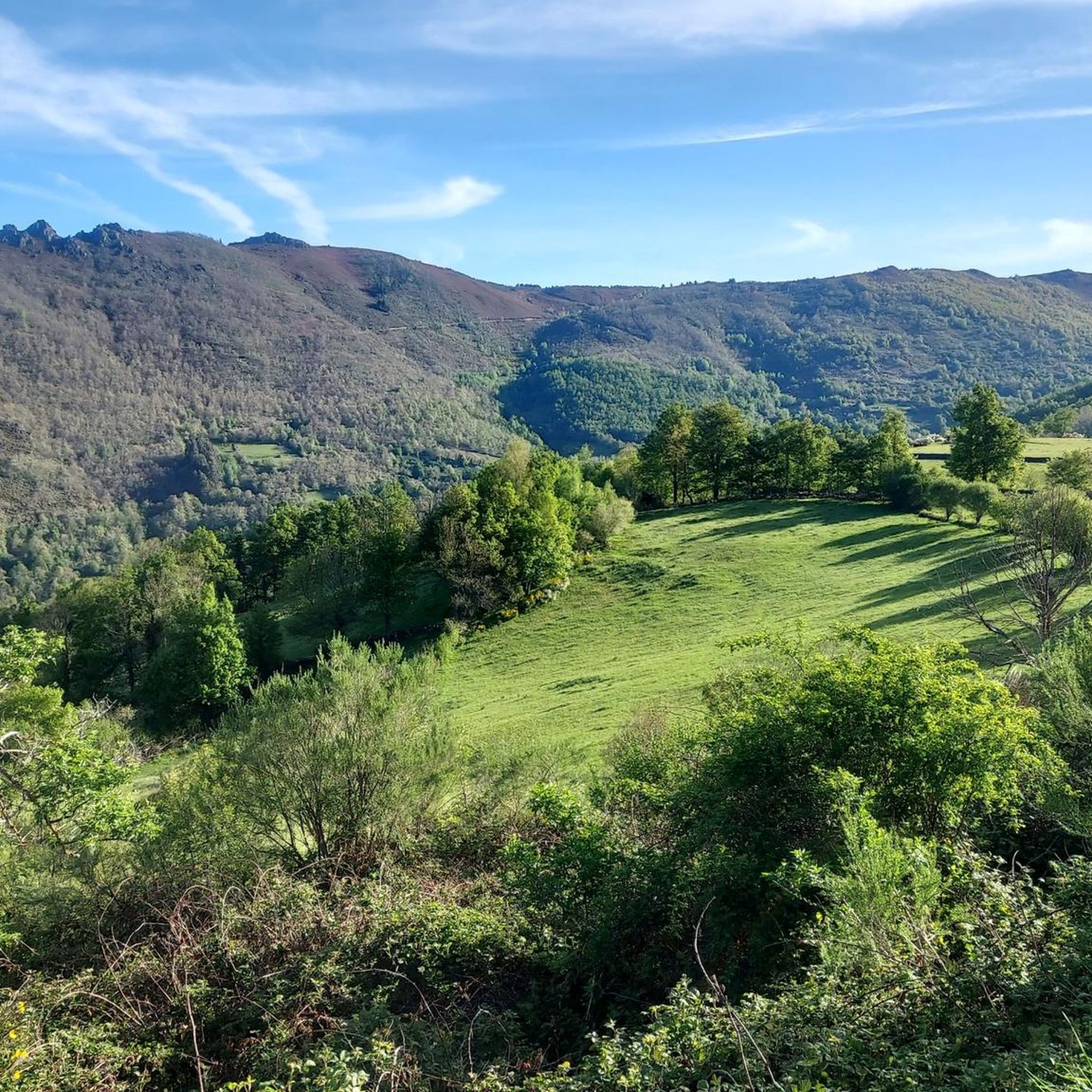
Hiking around Cervantes offers access to the rugged and elevated landscapes of the Ancares Mountains, characterized by prominent peaks and deep valleys. The region features a mix of high-altitude trails and forested areas, providing diverse natural environments for exploration. Hikers can expect varied terrain, including ascents to mountain summits and paths through protected natural zones. The area's geology contributes to its distinct character, making it suitable for challenging mountain hikes.
Best hiking trails around Cervantes
- The most popular hiking route…
Last updated: July 7, 2026
3.8
(5)
49
hikers
13.0km
04:44
830m
830m
Hard hike. Good fitness required. Sure-footedness, sturdy shoes and alpine experience required.
4.7
(7)
29
hikers
18.9km
05:59
770m
770m
Hike the difficult 11.8-mile Pico dos Tres Bispos Loop Trail in Sierra de los Ancares, gaining 2537 feet with stunning mountain views.

Sign up for free
4.6
(10)
70
hikers
12.7km
04:48
870m
870m
Moderate hike. Good fitness required. Easily-accessible paths. Suitable for all skill levels.
4.9
(8)
45
hikers
14.3km
04:17
440m
440m
Moderate hike. Good fitness required. Easily-accessible paths. Suitable for all skill levels.
5.0
(5)
40
hikers
6.41km
02:14
340m
340m
Moderate hike. Good fitness required. Easily-accessible paths. Suitable for all skill levels.
Get access to more routes and recommendations from other explorers.
Sign up for free
Already have an account?
Our route recommendations are based on thousands of hikes, rides, and runs completed by other people on komoot.
Start today with a free account
Your next adventure awaits.
Login or Signup


Tips from the Community

The hostel is abandoned but it is a good place to park.
0
0

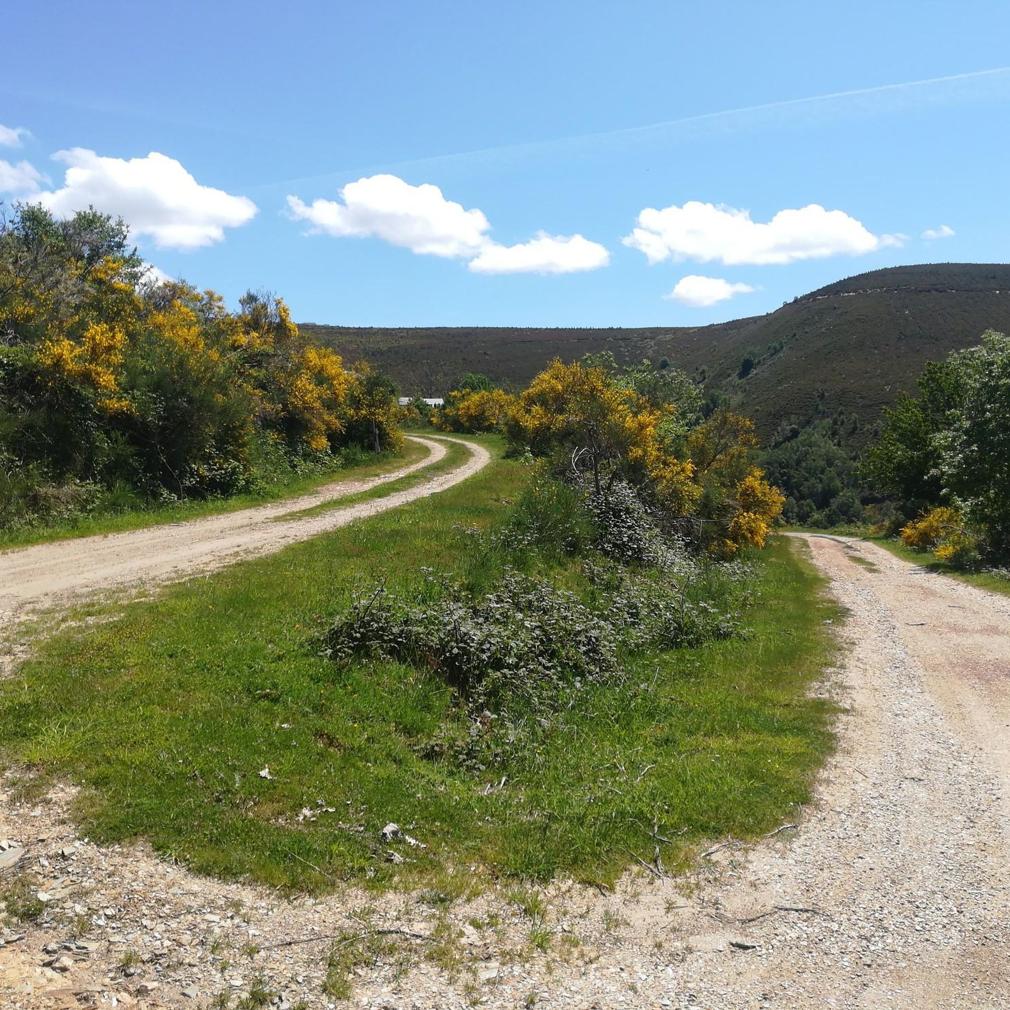
An incredible high mountain gravel route through the Sierra de Los Ancares passing the Campa de Tres Bispos before descending into the valley below. The views are spectacular.
1
0
Piornedo is a magical mountain town with unique traditional houses. Well worth the visit to see the heritage and history of mountain life.
2
0

Accommodation to sleep in the heart of the Os Ancares Natural Park.
1
0
At an altitude of 1,794 meters, at the point where Galicia delimits Castilla and León, the top of Pico dos Tres Bispos offers beautiful views over the Serra dos Ancares.
4
1
Pico dos Lagos, also known as Pico Lanza, is a mountain in the Sierra de Ancares. With just over 2,000 meters of altitude, the peak rises to the north of Puebla de Lillo, right on the border between the communities of Galicia and León.
4
0
Located at an altitude of 1,935 meters, Pico del Mostallar or Mustallar is the highest and most emblematic peak in Los Ancares and in the entire province of Lugo.
4
0
Frequently Asked Questions
How many hiking trails are available around Cervantes?
There are over 20 hiking routes documented around Cervantes on komoot. These trails offer a range of experiences, from moderate climbs to challenging summit ascents, primarily within the rugged Ancares Mountains.
Are there easy hiking trails in Cervantes suitable for beginners or families?
Yes, Cervantes offers several options for less experienced hikers or families. There are 6 easy routes available, providing a gentler introduction to the region's natural beauty. While the area is known for its challenging mountain terrain, these easier paths allow for enjoyable walks without significant difficulty.
What kind of terrain can I expect on the hiking trails in Cervantes?
The terrain around Cervantes is characterized by the rugged and elevated landscapes of the Ancares Mountains. Hikers can expect a mix of high-altitude paths, prominent peaks, deep valleys, and forested areas. Trails often involve ascents to mountain summits and traverse protected natural zones, offering diverse and sometimes challenging conditions.
Are there any circular hiking routes in Cervantes?
Yes, many of the trails in Cervantes are circular, allowing you to start and end at the same point. For example, the Ancares Mountains – Pico dos Tres Bispos loop from A Campa de Fieiró is a moderate 8.8-mile (14.2 km) route, and the Pozo Ferreira loop from Porto de Ancares is a moderate 4-mile (6.4 km) option.
What are some notable natural attractions or landmarks to see while hiking in Cervantes?
The region boasts several impressive natural features. You can explore the Cantejeira Waterfall, discover the ancient Os Grobos Forest, or ascend to prominent peaks like Pico dos Tres Bispos and Pico Mostallar. The area also features significant mountain passes such as The three passes of O Cebreiro.
What is the best time of year to go hiking in Cervantes?
Given its mountainous terrain, the best time for hiking in Cervantes is typically during the warmer months, from late spring to early autumn (May to October). During this period, trails are generally free of snow, and weather conditions are more stable, making high-altitude routes more accessible and enjoyable. Always check local weather forecasts before heading out.
Are there any dog-friendly hiking trails in Cervantes?
While specific regulations can vary by protected area, many trails in Cervantes are generally accessible for dogs, especially if kept on a leash. It's always recommended to check local signage or park regulations for any specific restrictions, particularly in sensitive natural zones or during certain wildlife breeding seasons. Ensure your dog is well-behaved and that you carry waste bags.
What do other hikers enjoy most about hiking in Cervantes?
The hiking trails in Cervantes are highly rated by the komoot community, with an average score of 4.5 stars from over 90 reviews. Hikers frequently praise the challenging mountain ascents, the expansive views from the peaks, and the diverse natural environments, including both rugged high-altitude landscapes and serene forested paths.
What should I wear and bring for a hike in Cervantes?
Due to the varied and often challenging mountain terrain, it's essential to be well-prepared. We recommend wearing sturdy hiking boots with good ankle support, dressing in layers to adapt to changing weather conditions, and bringing waterproof outer layers. Always carry sufficient water, snacks, a map or GPS device, and sun protection. For longer or higher-altitude routes, trekking poles can also be beneficial.
Are there opportunities to see wildlife while hiking in Cervantes?
The Ancares Mountains are part of a protected natural area, offering good opportunities for wildlife spotting. Hikers might encounter various bird species, deer, and other local fauna. Early mornings or late afternoons are often the best times for wildlife viewing. Remember to observe from a distance and avoid disturbing the animals.
What are the typical durations for hikes in Cervantes?
Hiking durations in Cervantes vary significantly based on the trail's length and difficulty. For instance, the challenging Pico O Mostallar – circular from Piornedo – Sierra de Ancares typically takes around 4 hours 44 minutes to complete its 8.1 miles (13.0 km). Longer, more difficult routes like the Pico dos Tres Bispos Loop Trail, spanning 11.8 miles (18.9 km), can take over 6 hours.
Most popular attractions around Cervantes

Get inspired with the komoot mobile app


Explore more
Browse the best Hikes in other regions.
