The best MTB trails around Cervantes
5.0
(9)
106
riders
16
rides
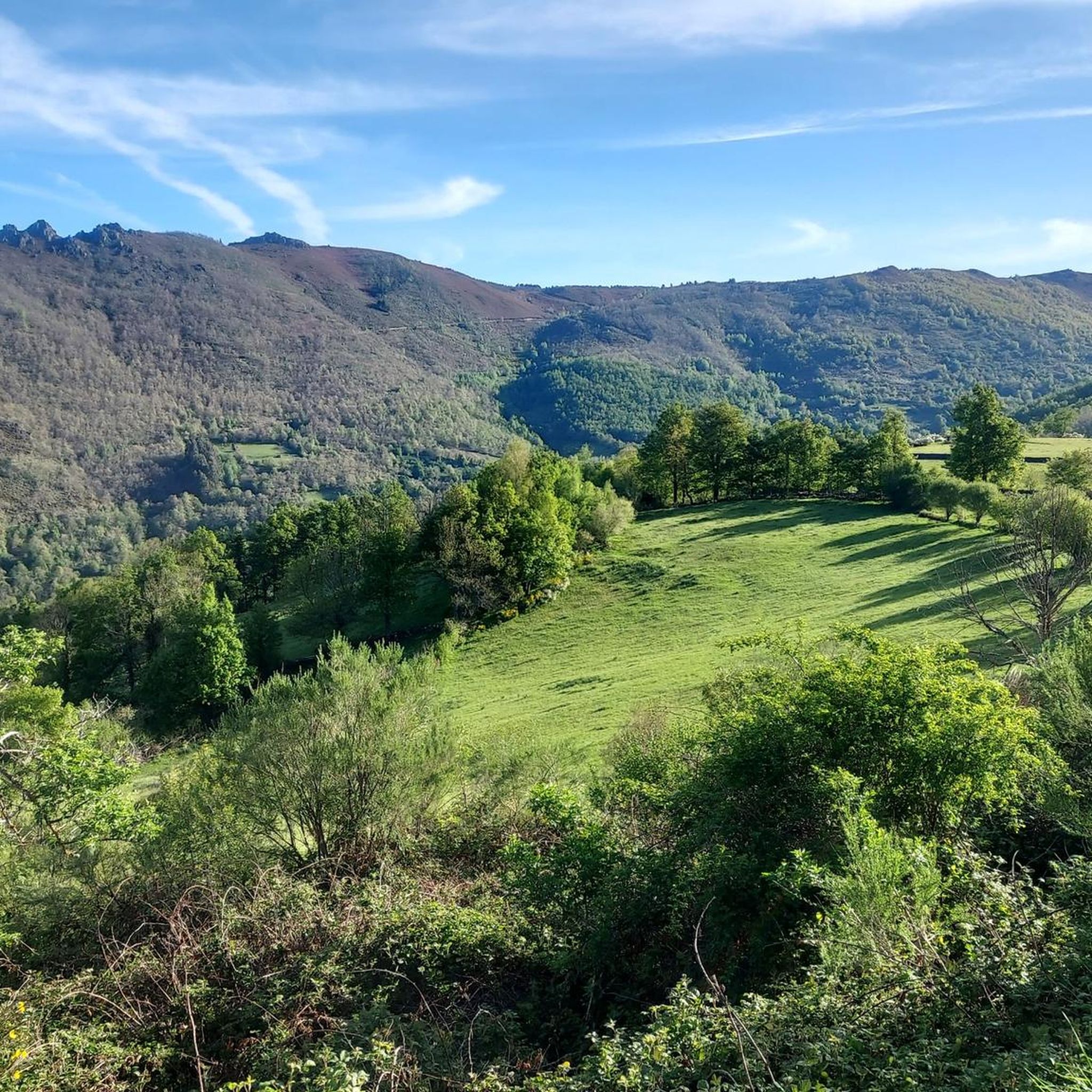
Mountain bike trails around Cervantes are primarily situated within a mountainous region characterized by river valleys and protected natural areas. The terrain features significant elevation changes, with routes often traversing through dense woodlands and offering views of peaks and conservation zones. This area provides a challenging environment for mountain biking, with a focus on natural, technical trails.
Best mountain bike trails around Cervantes
- The most popular mountain bike trail is Paradela y Penamil desde A Pobra — circular del río…
Last updated: July 7, 2026
Hard mountain bike ride. Very good fitness required. Suitable for all skill levels.
1
riders
35.3km
03:18
1,100m
1,100m
This difficult 22.0-mile mountain biking route from Castelo de Doiras explores the Sierra de Los Ancares, gaining 3622 feet.

Sign up for free
31.1km
03:10
1,120m
1,120m
Hard mountain bike ride. Very good fitness required. Advanced riding skills necessary.
63.7km
06:39
2,230m
2,240m
This difficult 39.6-mile mountain biking route from Pionedo offers challenging climbs, technical descents, and stunning views in Sierra de L
Hard mountain bike ride. Very good fitness required. Suitable for all skill levels.
Get access to more routes and recommendations from other explorers.
Sign up for free
Already have an account?
Our route recommendations are based on thousands of hikes, rides, and runs completed by other people on komoot.
Start today with a free account
Your next adventure awaits.
Login or Signup


Tips from the Community

Pedrafita do Cebreiro: a legendary gateway to Galicia on the Camino de Santiago. Between pallozas, fog, and over 1,300 meters of altitude, the pass has been a test for pilgrims and cyclists for centuries. Cyclist's tip: climbing it is tough, but the reward is feeling like you're pedaling with one foot in history.
0
0
Remains of a 14th-century fortress that once stood watch over the Neira Valley. Although in ruins, it still retains the legendary air of the old Galician lineages. Cyclist's tip: the climb is demanding, but arriving and finding this solitary tower makes the journey seem twice as worthwhile.
0
0

A port city, Piedrafita is the gateway between Galicia and Castilla y León and the starting point for many adventures along mountain trails.
2
0
Adventure routes in the forest of Os Grobos next to the Navia river in the Cruzul-Agüeira national park.
1
0
Nestled in the landscape of the Navia river valley, the medieval defensive watchtower, the Tower of Doncos is a unique historical complex.
2
0
A magical arched bridge in the medieval village of Navia de Suarna (A Proba) over the Navia river. Great place to start your adventure. Don't forget to go swimming after the ride in the natural pools down the river.
2
0
Becerreá sits in a gorge in this mountainous region on the Jacobean route between Madrid and Lugo. Good place to start your adventure in the area.
2
0
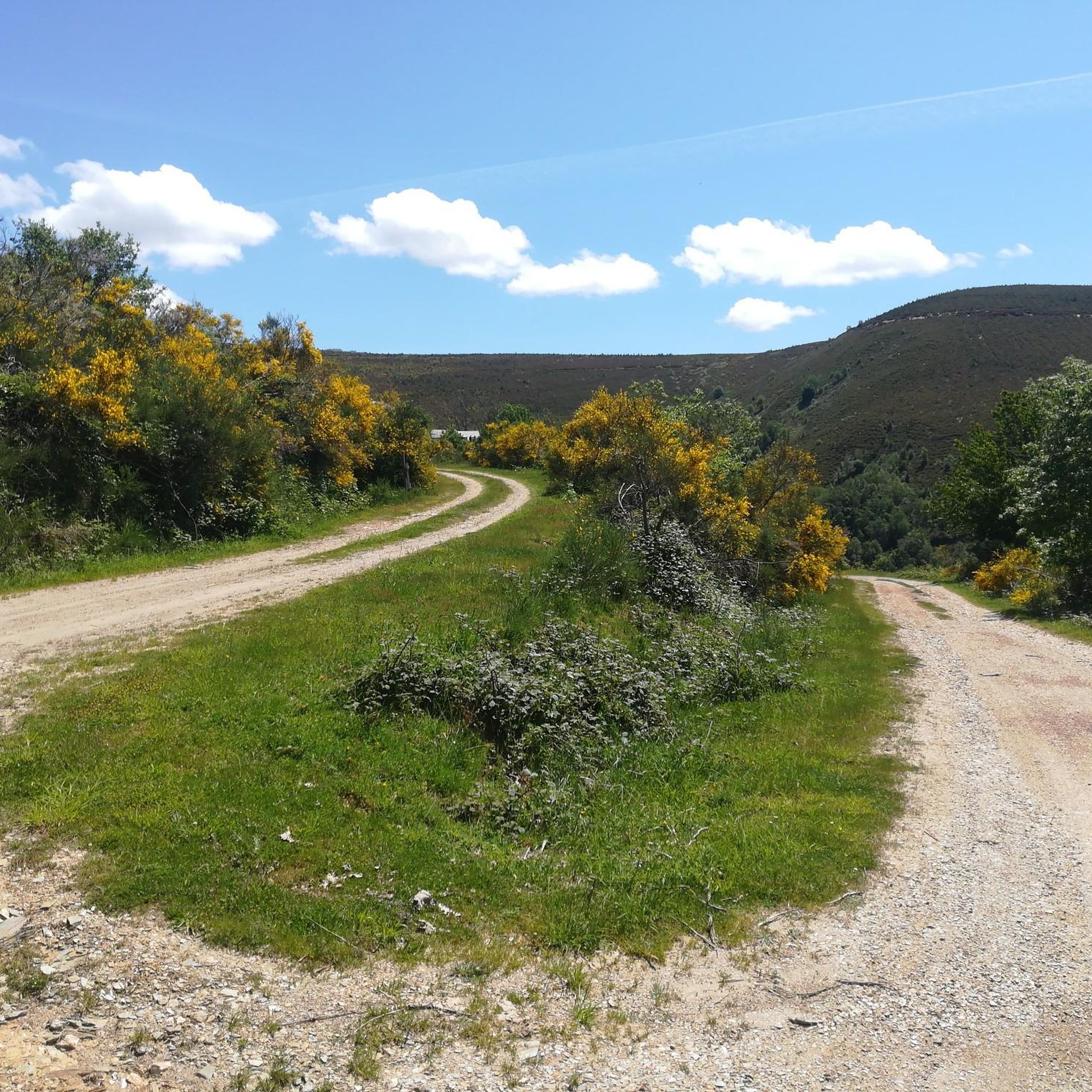
An incredible high mountain gravel route through the Sierra de Los Ancares passing the Campa de Tres Bispos before descending into the valley below. The views are spectacular.
1
0
Frequently Asked Questions
What kind of terrain can I expect on mountain bike trails around Cervantes?
The mountain bike trails around Cervantes are primarily situated in a mountainous region characterized by river valleys and protected natural areas. You can expect significant elevation changes, with routes often traversing through dense woodlands. The terrain is natural and technical, providing a challenging environment for mountain biking.
How many mountain bike trails are available in Cervantes?
There are 14 mountain bike trails available around Cervantes. The majority of these, 11 out of 14, are rated as difficult, indicating a challenging experience for riders.
Are there any easy or moderate mountain bike trails in Cervantes?
While most trails in Cervantes are rated difficult, there are 3 moderate trails available for mountain bikers. There are currently no trails rated as easy in this guide.
What are some notable landmarks or points of interest I can see while mountain biking in Cervantes?
Along your mountain biking routes, you can encounter several interesting landmarks. These include the Pilgrim Statue at Alto de San Roque, the historic Church of Santa María la Real in O Cebreiro, and various mountain passes like The three passes of O Cebreiro. You might also spot the Galicia Border Marker on the Camino de Santiago.
What do other mountain bikers enjoy most about the trails in Cervantes?
The mountain bike routes in Cervantes are highly rated by the komoot community, with an average score of 5.0 stars from 7 reviews. Reviewers often praise the challenging nature of the trails, the significant elevation gains, and the scenic beauty of the river valleys and conservation areas.
Are there any circular mountain bike routes in Cervantes?
Yes, several routes in Cervantes are circular. For example, you can explore the Paradela y Penamil desde A Pobra — circular del río Navia, or the As Nogais desde Piedrafita — circular por la Zona Especial de Conservación Los Ancares-Courel, which offers substantial climbs through a conservation area.
What is the longest mountain bike trail in Cervantes?
The longest mountain bike trail in this guide is the Puerta de Ancares Loop, which spans approximately 63.7 kilometers (39.6 miles) and involves over 2,200 meters of elevation gain.
Are the mountain bike trails in Cervantes suitable for families or beginners?
Given that 11 out of 14 routes are rated as difficult and feature significant elevation changes and technical terrain, the trails around Cervantes are generally more suited for experienced riders. There are 3 moderate trails, but no easy trails, so families with young children or absolute beginners might find these routes challenging.
What is the typical duration for mountain bike trails in Cervantes?
The duration for trails varies depending on their length and difficulty. For instance, the Paradela y Penamil desde A Pobra — circular del río Navia typically takes around 3 hours and 10 minutes, while the longer As Nogais desde Piedrafita — circular por la Zona Especial de Conservación Los Ancares-Courel can take over 5 hours.
Are there any trails that pass through special conservation areas?
Yes, several trails traverse protected conservation areas. For example, the As Nogais desde Piedrafita — circular por la Zona Especial de Conservación Los Ancares-Courel explores the Ancares-Courel Special Conservation Area, offering unique natural beauty.
What is the highest elevation gain on a single mountain bike trail in Cervantes?
The trail with the highest elevation gain is the Puerta de Ancares Loop, which features an impressive ascent of over 2,200 meters (7,200 feet).
Most popular attractions around Cervantes

Get inspired with the komoot mobile app


Explore more
Browse the best MTB trails in other regions.
