The best road cycling routes around La Font De La Figuera
4.5
(13)
1,368
riders
47
rides
Road cycling routes around La Font De La Figuera traverse a diverse landscape in the La Costera county of inland Valencia. The region is characterized by extensive vineyard-lined valleys, particularly within the "Terres dels Alforins" wine-growing area, and mountainous terrain. Situated at an average altitude of 553 meters, west of the Serra Grossa range, the area features prominent peaks such as El Capurutxo (901 meters) and Alt de la Silla (1004 meters), offering varied elevation changes for road cyclists. Challenging…
Last updated: October 28, 2026
258
riders
95.8km
05:09
1,580m
1,580m
Hard road ride. Very good fitness required. Mostly well-paved surfaces and easy to ride.
5.0
(1)
44
riders
Moderate road ride. Good fitness required. Some segments of this route may be unpaved and difficult to ride.

66
riders
79.8km
04:20
1,420m
1,420m
Hard road ride. Very good fitness required. Mostly well-paved surfaces and easy to ride.
19
riders
Moderate road ride. Good fitness required. Mostly well-paved surfaces and easy to ride.
13
riders
33.4km
01:30
250m
250m
Easy road ride. Mostly well-paved surfaces and easy to ride.
Get access to more routes and recommendations from other explorers.
Already have an account?
Our route recommendations are based on thousands of hikes, rides, and runs completed by other people on komoot.
Start today with a free account
Your next adventure awaits.
Popular around La Font De La Figuera
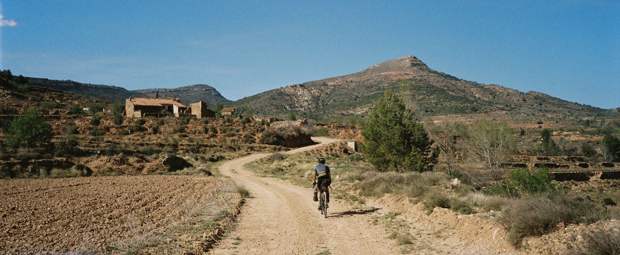
Path of the Tasters - Bikepacking in the Valencian ranges
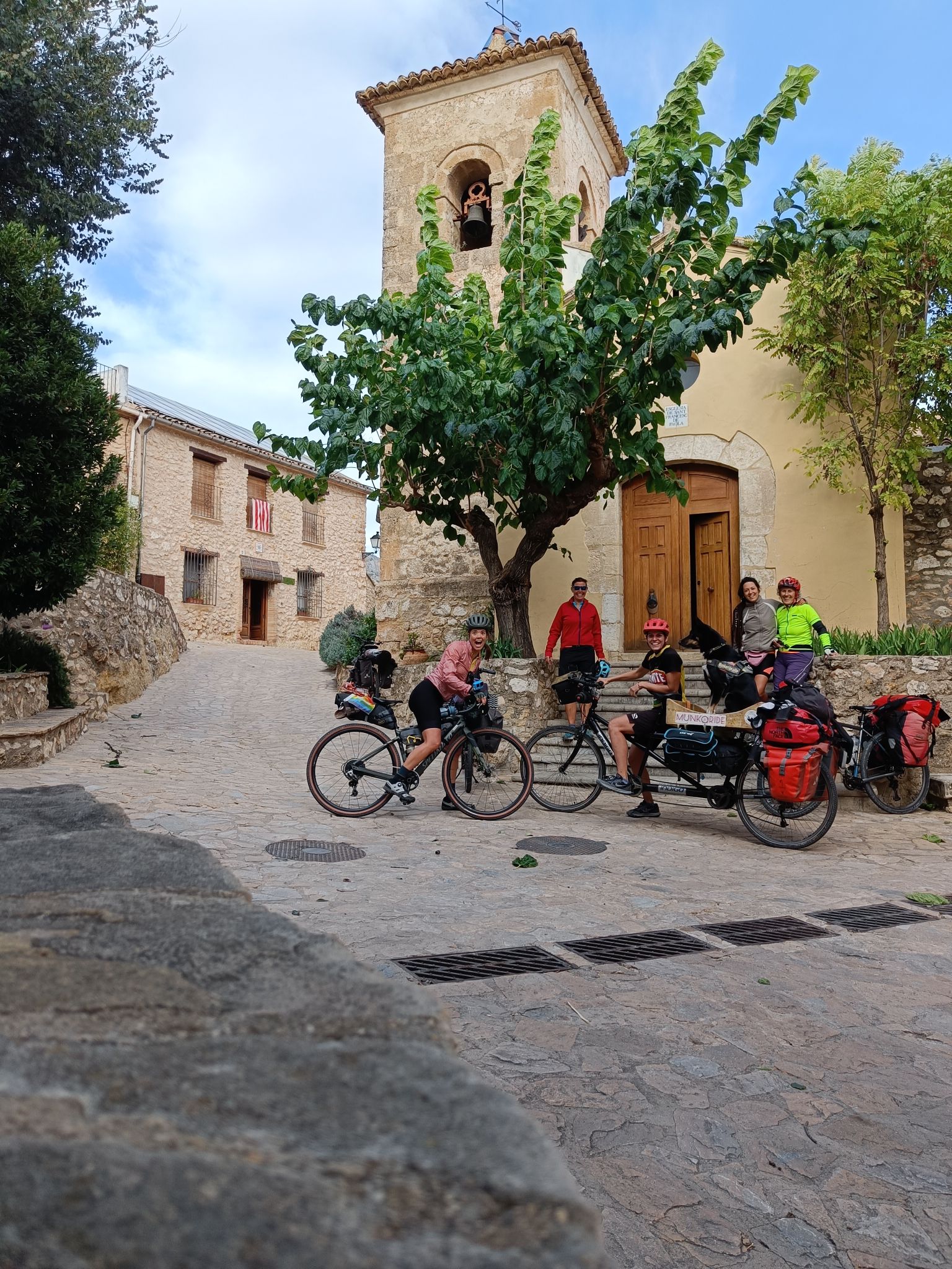
Community ride through the east of Spain – an autumn adventure
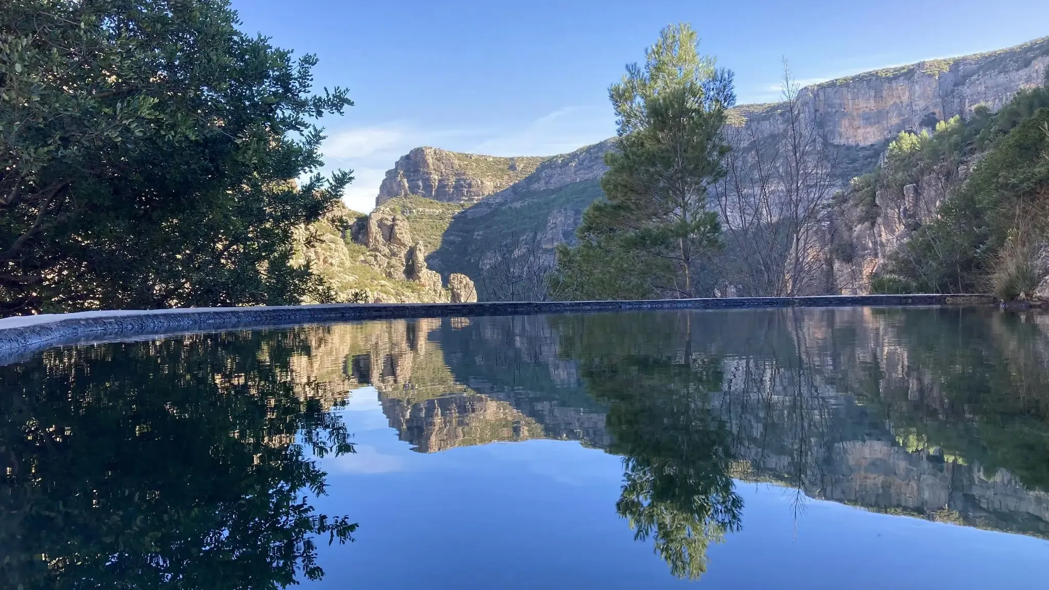
The hidden gem of Valencia – Caroig Massif (GR 237)
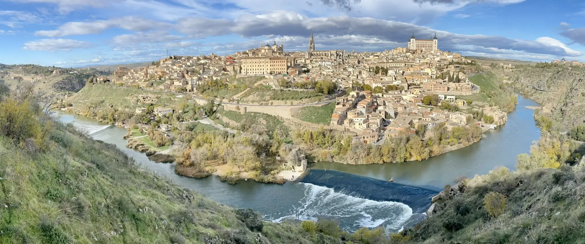
A journey to the interior of the Iberian Peninsula – Levante Way (GR 239)
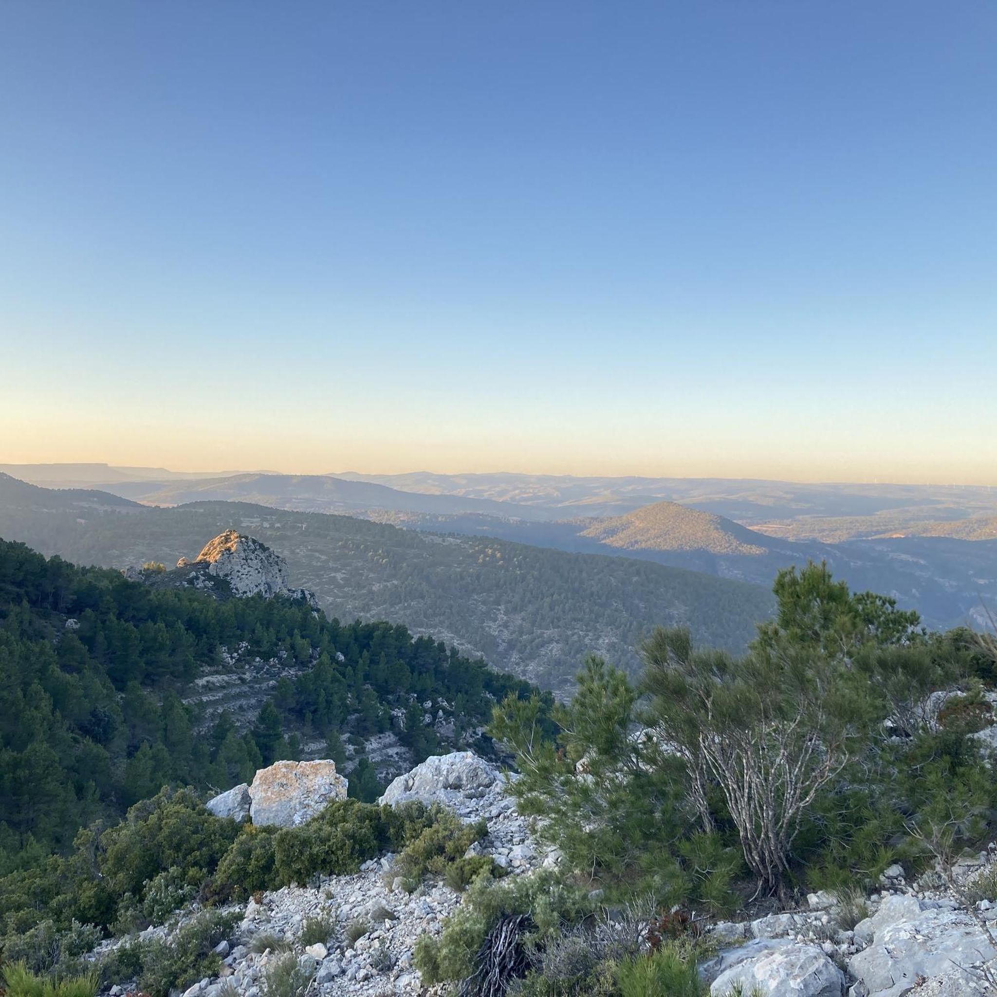
Hiking around La Font De La Figuera
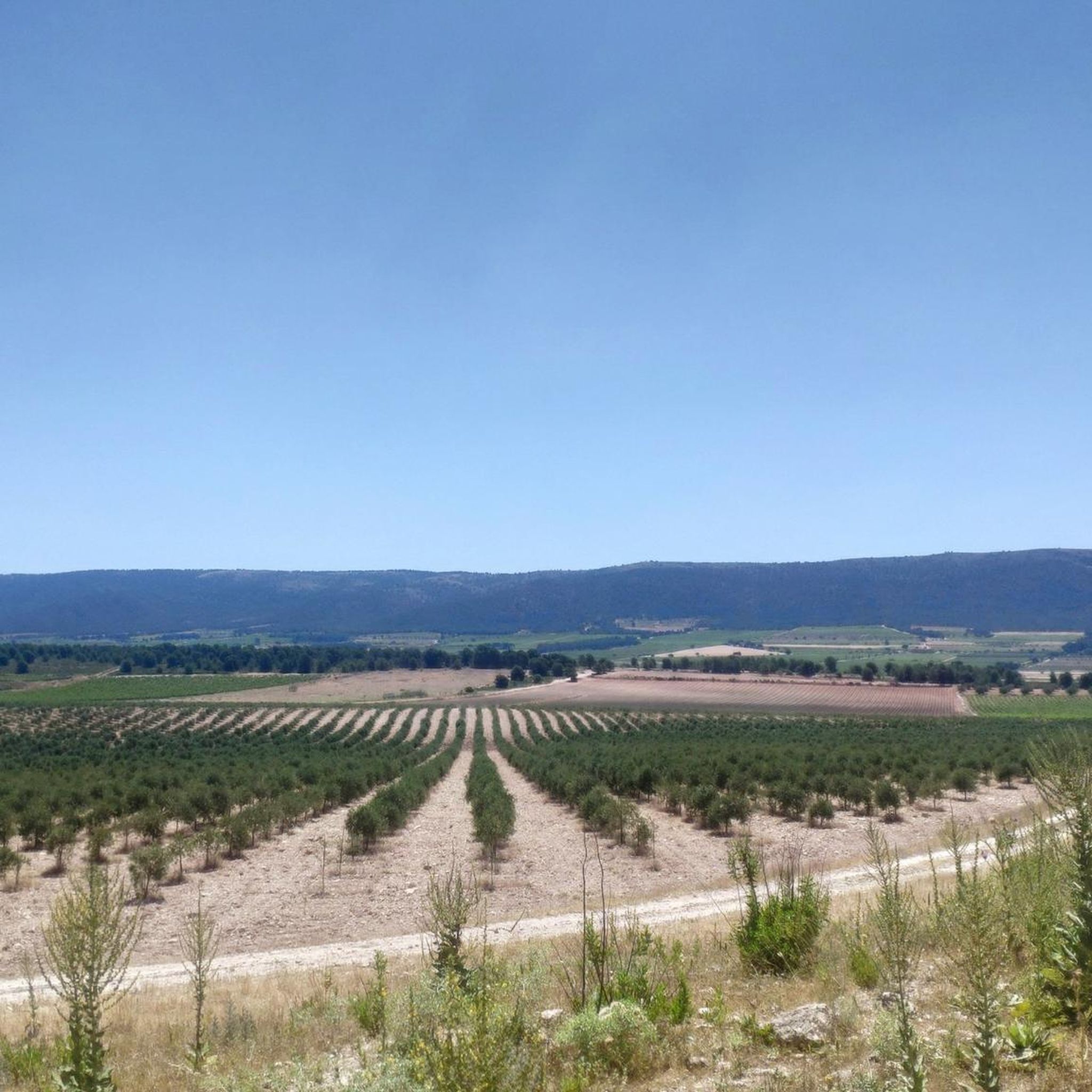
MTB Trails around La Font De La Figuera
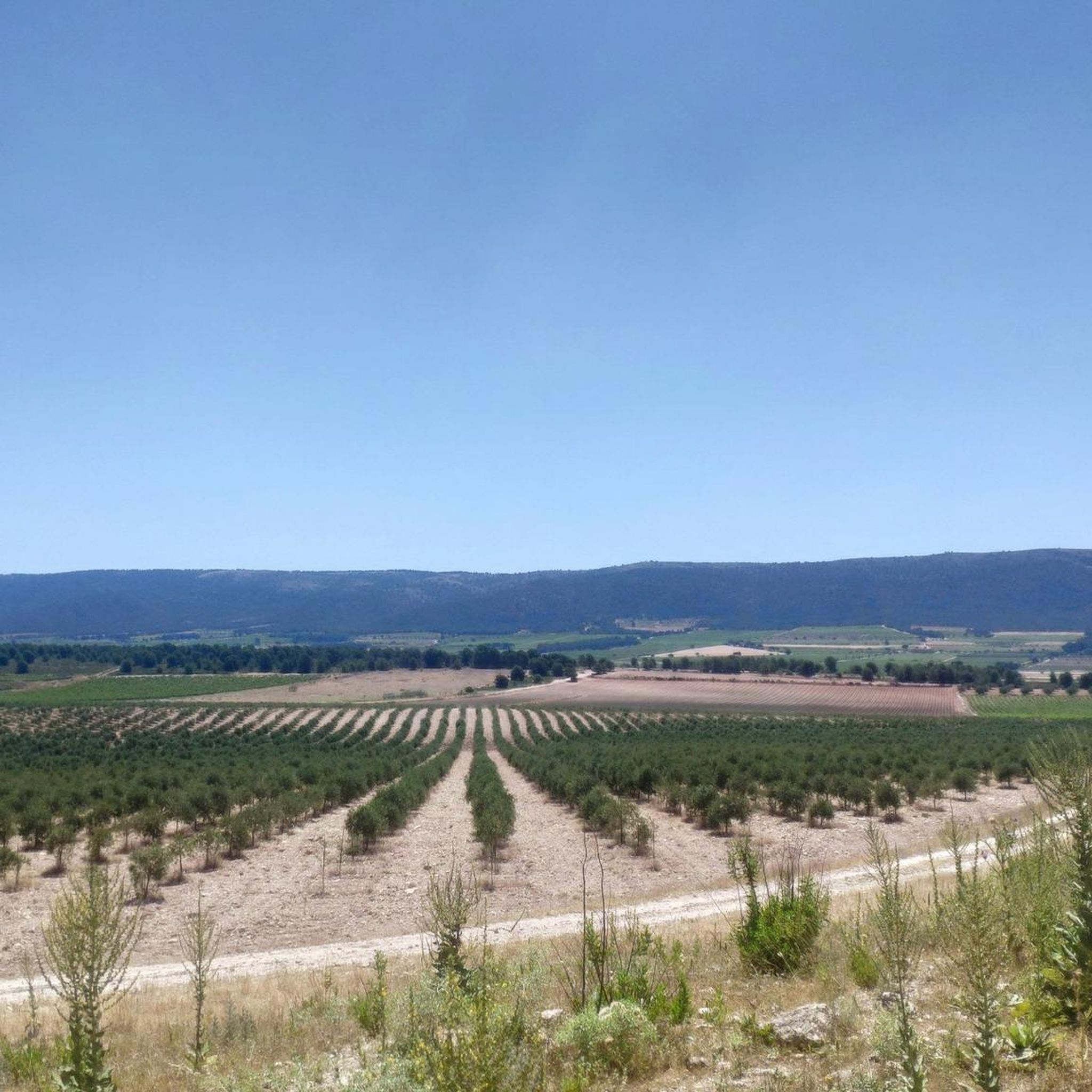
Cycling around La Font De La Figuera
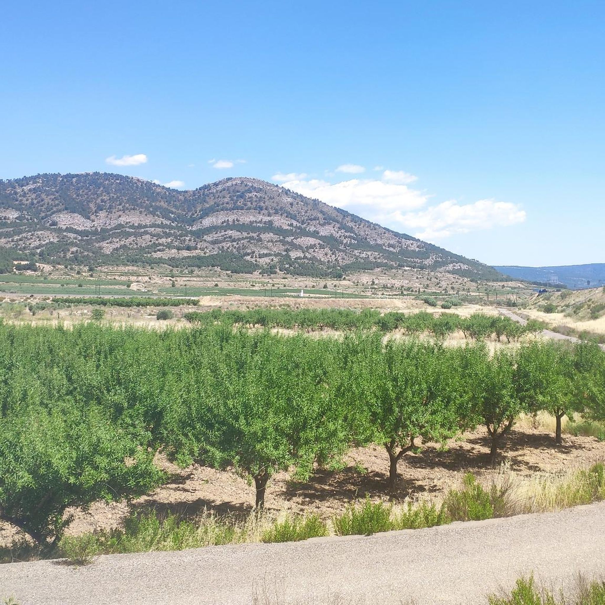
Running Trails around La Font De La Figuera

Gravel biking around La Font De La Figuera
Other adventures around La Font De La Figuera


Tips from the Community

Pass at 776 m above sea level, starting from the Canyoles river in Vallada, 522m of elevation gain over 8.08km (including the climb to Alt del Campello as a bonus) with an average gradient of 6.47%, where the difficulty is in the first part (the aforementioned Campello) and then a gentler gradient of 5-6%.
0
0

Church of Santa María (Villena) This church was built in the 16th century on the site of the former main Muslim mosque of Villena, at which time it became the church of El Rabal, the suburb outside the medieval walls of Villena.
12
0
The Church of Mary Help of Christians (Salesians) in Villena. Founded in 1917 along with the Salesian House of Villena. The image of Mary Help of Christians arrived in solemn procession from the Parish of Santa María on May 4, 1918. During the Spanish Civil War, the altars were destroyed, but the building remained intact. It has been a key spiritual and educational center in the city, linked to the Salesian legacy and the figure of Don Bosco.
8
0
Built by the Almohads in the 12th century on San Cristóbal Hill as a defensive fortress on the border between the kingdoms of Castile and Aragon. The inner wall and the two lower floors of the keep date from the Almohad period, featuring vaults unique in Spain, along with those of Biar Castle. The two upper floors and the outer wall with twelve turrets were added in the 15th century. Conquered by James I in 1240. Residence of Don Juan Manuel (author of El Conde Lucanor). It played a role in conflicts such as the War of the Spanish Succession, the Revolt of the Brotherhoods, and the Peninsular War. Declared a Historic-Artistic Monument in 1931 and a Site of Cultural Interest.
8
1
Built by the Almohads in the 12th century on San Cristóbal Hill as a defensive fortress on the border between the kingdoms of Castile and Aragon. The inner wall and the two lower floors of the keep date from the Almohad period, featuring vaults unique in Spain, along with those of Biar Castle. In the 15th century, the two upper floors and the outer wall with twelve turrets were added. Conquered by James I in 1240. Residence of Don Juan Manuel (author of El Conde Lucanor). It participated in conflicts such as the War of the Spanish Succession, the Revolt of the Brotherhoods, and the Peninsular War. Declared a Historic-Artistic Monument in 1931 and a Site of Cultural Interest.
13
0

very nice, good road and little traffic
0
0

There is a pass through there on the way back to Ontinyente, some beautiful landscapes.
0
0

Enjoy refreshing water in the adjacent pool. Open during the summer months. There's an entrance fee. See also: Anna Lagoon Lake | Anna City Council https://www.ayuntamientoanna.es/albufera-anna.
0
1
Frequently Asked Questions
What kind of terrain can I expect on road cycling routes around La Font de la Figuera?
Road cycling around La Font de la Figuera offers a diverse landscape. You'll find extensive vineyard-lined valleys, particularly in the "Terres dels Alforins" wine-growing area, alongside mountainous terrain. The region is situated at an average altitude of 553 meters, west of the Serra Grossa range, featuring prominent peaks and challenging climbs.
Are there challenging climbs for experienced road cyclists in the area?
Yes, La Font de la Figuera is known for its challenging ascents. The "Port del Moro" is a classic climb reaching 987 meters above sea level, with slopes exceeding two-digit percentages. Other routes like the Biar – Puerto de Biar loop and the Port del Moro – Portixol loop feature significant elevation gains, making them suitable for advanced riders.
What are some scenic points of interest to look out for while cycling?
The region is rich in scenic beauty. You'll cycle through picturesque vineyard-lined valleys, especially within the "Terres dels Alforins." For panoramic views, consider routes that ascend peaks like El Capurutxo (901m) or Alt de la Silla (1004m). You might also pass natural sites such as Barranco de la Hoz or the La Cueva Santa.
Are there any easy or moderate road cycling routes suitable for less experienced riders?
While the region is known for its challenging climbs, there are also routes with moderate difficulty. For example, the Fuente la Higuera Fountain – Trail through the vegetation loop is a moderate 34.0-mile (54.8 km) trail that offers a less strenuous experience while still showcasing the local vegetation.
What is the best time of year to go road cycling in La Font de la Figuera?
La Font de la Figuera benefits from a pleasant climate, making it suitable for cycling for much of the year. The "sea of white earth covered in colors" changes with the seasons, featuring vines, sunflowers, and fruit trees, offering beautiful scenery. Spring and autumn generally provide the most comfortable temperatures for road cycling, avoiding the peak heat of summer.
Can I find circular road cycling routes in La Font de la Figuera?
Yes, many of the road cycling routes in the area are designed as loops, allowing you to start and finish in the same location. Popular examples include the Port de Bosquet – Portixol loop and the Albufera de Anna – Port de Bosquet loop, both offering comprehensive tours of the region's diverse landscapes.
What historical or cultural landmarks can I see along the routes?
Beyond natural beauty, the region has a rich heritage. You might encounter ancient structures like 18th-century mills or significant religious buildings such as La Natividad de Nuestra Señora Parish Church. The 16th-century Santa Bárbara Chapel, perched atop a hill, also offers historical insight and often great views.
How do other road cyclists rate the routes in La Font de la Figuera?
The road cycling routes in La Font de la Figuera are highly rated by the komoot community, with an average score of 4.5 stars from 4 reviews. Over 1200 road cyclists have used komoot to explore the varied terrain, often praising the diverse landscapes and challenging climbs.
Are there any family-friendly road cycling options in the area?
While many routes feature significant elevation, some sections or shorter, flatter loops within the vineyard valleys might be suitable for families with older children or those seeking a more relaxed ride. It's advisable to check the specific route profiles for elevation and distance to ensure it matches your family's ability.
Where can I park my car when starting a road cycling route?
La Font de la Figuera, as a local town, typically offers various parking options within or on the outskirts of the municipality. Many cyclists choose to park in the town center or near the start points of popular routes, ensuring easy access to amenities before and after their ride.
Are there places to eat or stay that are cyclist-friendly in La Font de la Figuera?
The town of La Font de la Figuera, with its strong winemaking tradition and appeal to outdoor enthusiasts, offers local cafes and restaurants where cyclists can refuel. While specific cyclist-friendly accommodations aren't detailed, the town's welcoming atmosphere suggests options for visitors looking to stay overnight.
Most popular routes around La Font De La Figuera
Most popular attractions around La Font De La Figuera

Get inspired with the komoot mobile app


Explore more
Browse the best Road cycling routes in other regions.
