Top 5 Mountain Passes around Arsèguel
Best mountain passes around Arsèguel are situated in the Catalan Pyrenees, offering scenic routes and elevated viewpoints within a mountainous landscape. The region is characterized by its proximity to the Cadí-Moixeró mountain range and the Segre river valley. This area provides opportunities for hiking and enjoying panoramic vistas. The Alt Urgell region, where Arsèguel is located, features natural parks and protected areas, with well-maintained forest tracks and numerous viewpoints.
Best mountain passes around Arsèguel
- The most popular mountain passes is…
Last updated: June 26, 2026
Coll de la Peguera
Highlight • Mountain Pass
Translated by Google •
Tip by

Port de la Rabassa / Puerto de la Rabassa
Highlight • Mountain Pass
Translated by Google •
Tip by
Sign up now to discover places like this
Get recommendations on the best single tracks, peaks, & plenty of other exciting outdoor places.
Sign up for free
Coll de Creus
Highlight • Mountain Pass
Translated by Google •
Tip by

Mountain Road to Prullans
Highlight (Segment) • Mountain Pass
Translated by Google •
Tip by

Coll de la Trava
Highlight • Mountain Pass
Translated by Google •
Tip by

Sign up for free to discover even more mountain passes around Arsèguel.
Sign up for free
Already have an account?
Start today with a free account
Your next adventure awaits.
Login or Signup
Tips from the Community

The Coll de Peguera is also known as Coll de la Rabassa. In fact, on the official Andorra tourism website, the name "Alt de la Rabassa" is used. And on many altimetry websites, it is also known as "Alt de la Rabassa". The two slopes are quite similar in length and hardness, differing only slightly in the steep descent of the northernmost slope that passes through Aixirivall. When you reach the top of the mountain pass, you can take a road that goes higher towards the Naturlandia mountain activities park, which is highly recommended by the way. Another curiosity is that from Naturlandia, you continue going up an unpaved road to the border with Spain, where the views are wonderful. I leave you the link to access the altimetries of @cyclingcols (the best) --> http://www.cyclingcols.com/col/Rabassa
1
0

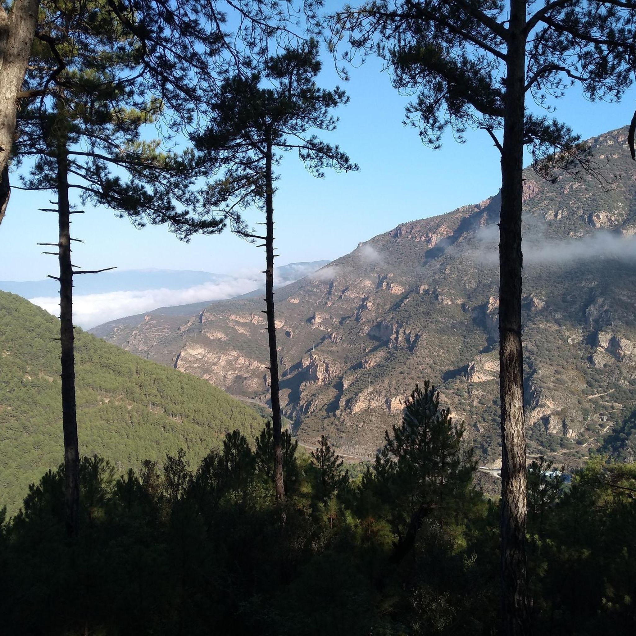
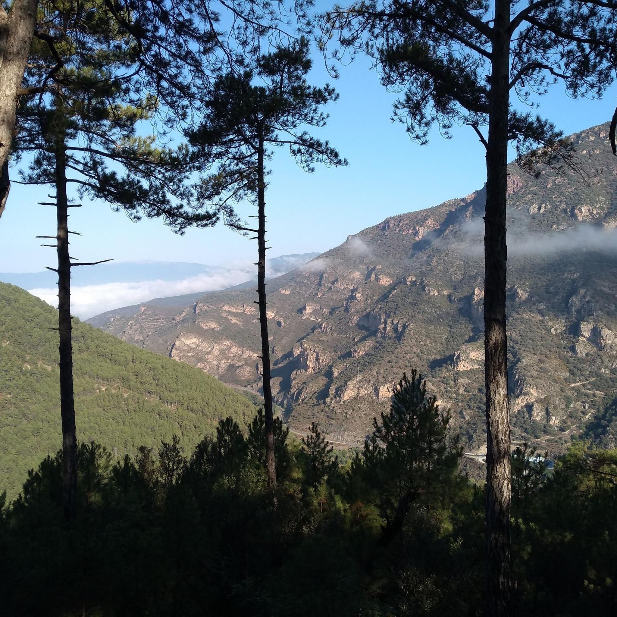
One of the most well-known passes in Andorra is Port de la Rabassa and this is the first big slope before reaching the top. Despite not being at the top of the mountain, the port and the road itself offer very good views in the middle of pine forests.
0
0

A challenging climb that winds through the pine forest until you reach the mountain pass. Magnificent views of the Volire Valley below.
0
1
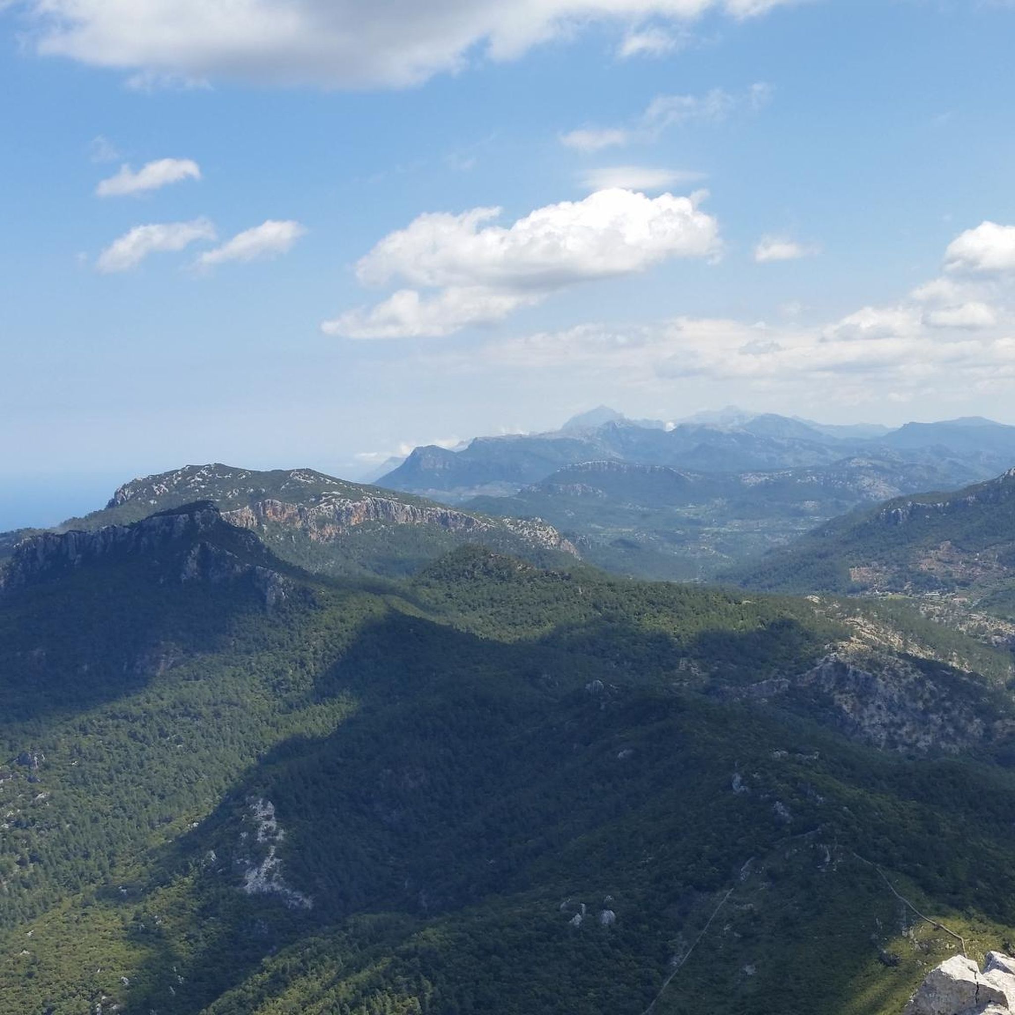
The port of La Rabassa offers incredible views of the Pyrenees mountain range and the Sant Julià de Lòria valley. There is plenty of parking at this high altitude tourist spot with plenty of options for adventure.
0
0
This section of road is part of the climb that can be made to Lles from Prullans. The road is very quiet and narrow, and in some sections the asphalt is in poor condition, but it is cyclable. I usually use it as a descent from Lles to Prullans to avoid a stretch of national road from Martinet to Prullans.
0
0

The Coll de Peguera has an approximate distance of 13.9 km from Sant Julià de Lòria, with an average slope of 6.6%. The hardest part is in the first two kilometers. Once the climb is finished, the path can continue until Port de la Rabassa.
0
0
Beautiful climb, ending at an altitude of 2037 meters. From Sant Julià the climb has an approximate length of 17.4 km with an average slope of 6.5%. Luckily, the hardest part is the first five kilometers, leaving room for a relatively lighter effort in the final part.
0
0

Frequently Asked Questions
What are some challenging mountain passes for cycling around Arsèguel?
For a challenging cycling experience, consider Port de la Rabassa / Puerto de la Rabassa. This pass features a beautiful climb ending at an altitude of 2037 meters, with an approximate length of 17.4 km and an average slope of 6.5% from Sant Julià. Another challenging option is Coll de la Peguera, which offers a climb with an average slope of 6.6% over 13.9 km from Sant Julià de Lòria.
Are there any mountain passes with historical or geological significance near Arsèguel?
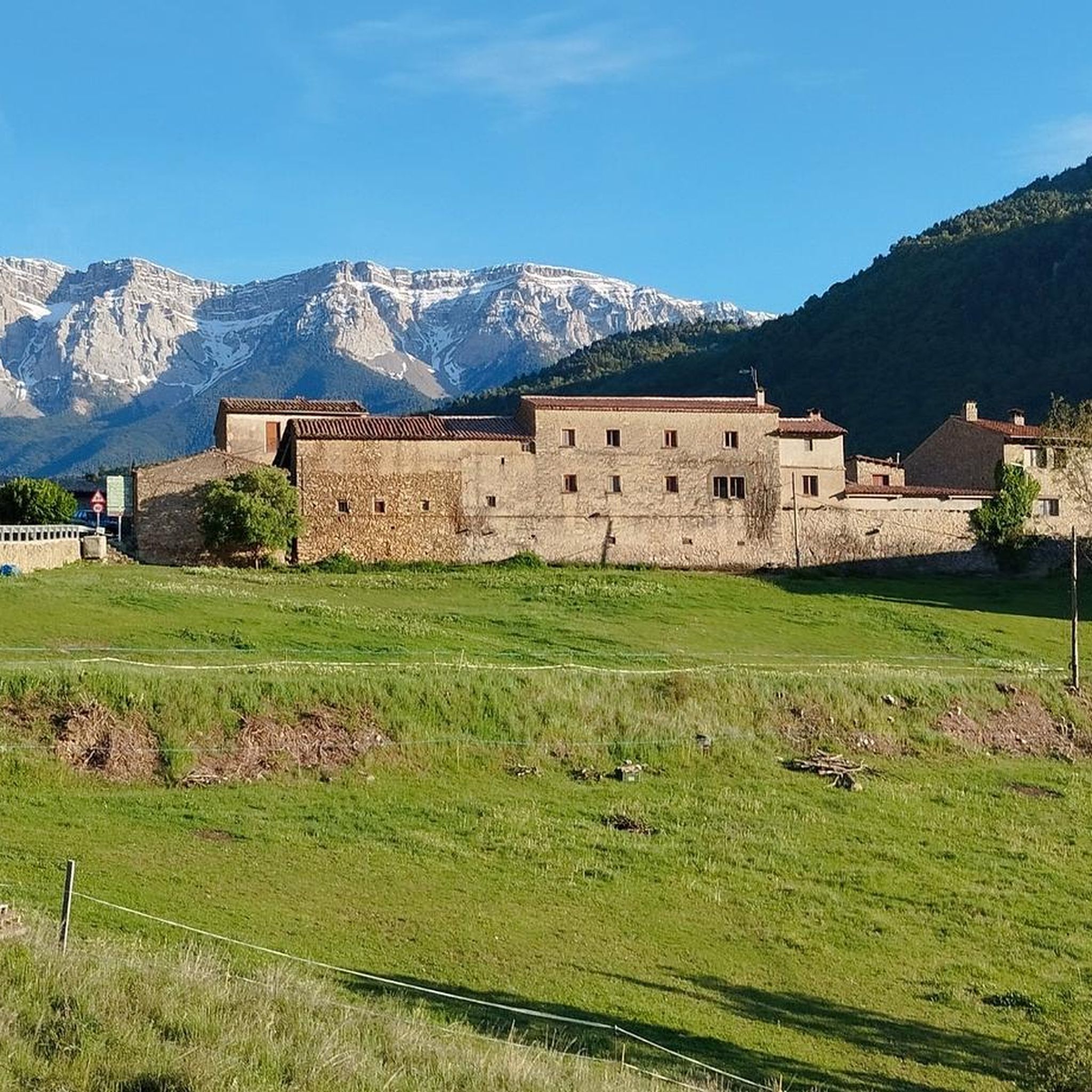
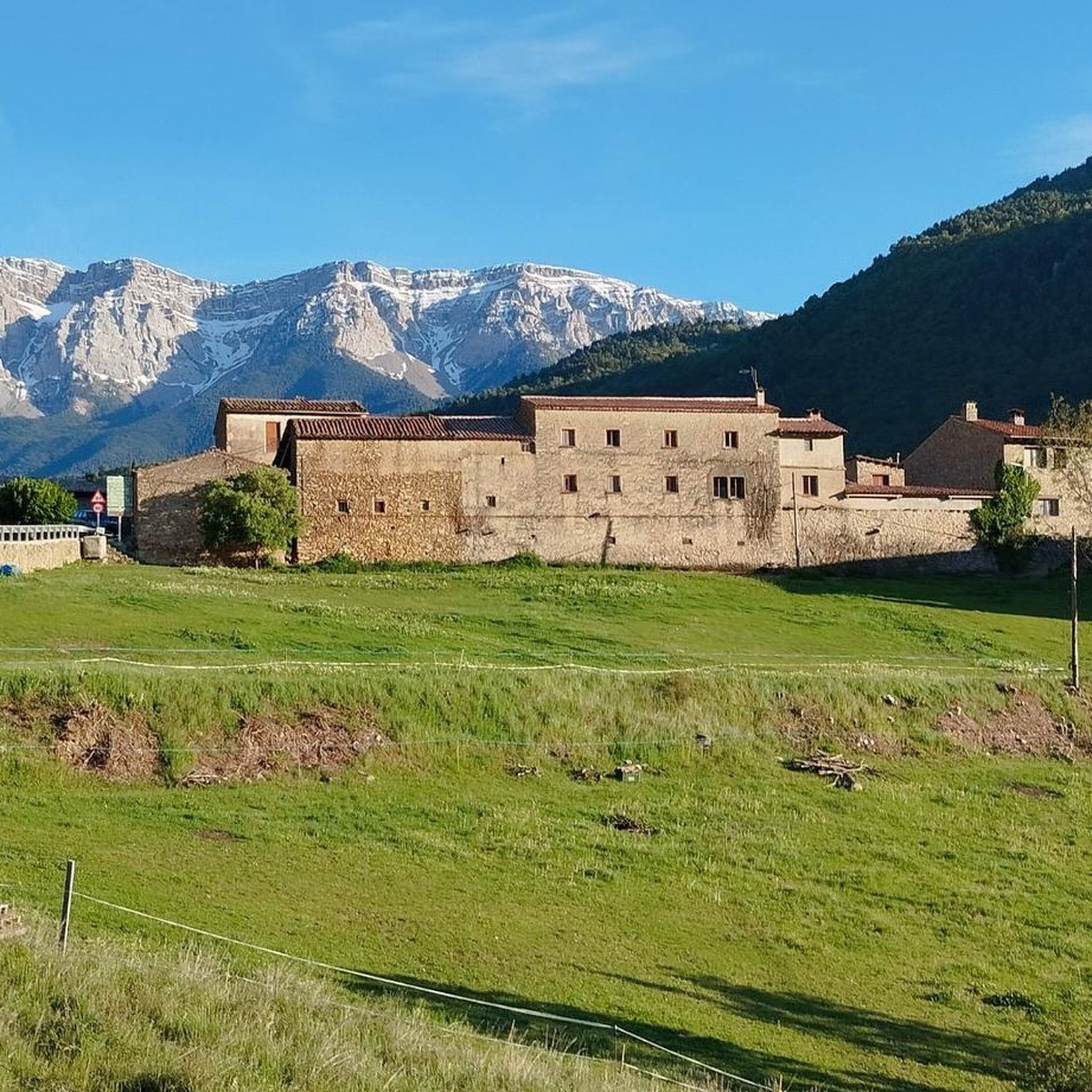
Yes, Coll de Creus, located at 1437 meters above sea level, is part of the Coll de Creus Geological Itinerary. It's known for its characteristic landscape of reddish rocks and layered arrangement, making it very interesting from a geological and aesthetic point of view. This point is also a crossroads for the GR 7 and PR-C 122 official routes.
What kind of views can I expect from the mountain passes in the Arsèguel region?
The mountain passes around Arsèguel offer incredible panoramic views of the Pyrenees mountain range and valleys like the Sant Julià de Lòria valley. For instance, Port de la Rabassa / Puerto de la Rabassa provides expansive vistas. Additionally, the region is known for its proximity to the Cadí-Moixeró mountain range and the Segre river valley, ensuring stunning natural landscapes from elevated points.
What outdoor activities can I do near the mountain passes around Arsèguel?
The Arsèguel region is excellent for various outdoor activities. You can find numerous hiking trails, such as the 'Sanctuary of Boscalt – GR 150 (Cava-Ansovell section) loop from Ansovell' or the 'Stone Bunker Lookout loop from Arsèguel'. For cycling, there are options like the 'Mountain Road to Prullans' or gravel biking routes like the 'Arfa Medieval Bridge – Arfa to Montferrer Road loop from la Seu d'Urgell'. You can explore more options on the Hiking around Arsèguel, Running Trails around Arsèguel, and Gravel biking around Arsèguel guide pages.
Are there any quiet roads or less-trafficked mountain passes for cycling?
Yes, Coll de la Trava is known for being a very calm road leading to La Seu d'Urgell, with a good firm surface. Similarly, the Mountain Road to Prullans, descending from Lles de Cerdanya, is a small, quiet mountain road that offers a pleasant cycling experience, though some sections may have poor asphalt.
What is the best time of year to visit the mountain passes near Arsèguel?
The region's mountainous terrain means that spring, summer, and early autumn generally offer the most favorable weather for exploring the passes and trails. These seasons provide pleasant temperatures for hiking and cycling, and clearer views. Winter can be challenging due to snow and ice, especially at higher altitudes, though it offers unique opportunities for winter sports if conditions allow.
Are there any viewpoints specifically for nature observation in the Arsèguel area?
While not a mountain pass itself, the Mirador del Turó Galliner, situated at 1,612 meters, was specifically constructed for observing migratory birds. It offers expansive views of the entire Segre Valley and includes informative posters detailing the surrounding mountains and villages, making it an excellent spot for nature enthusiasts.
What are some cultural or historical sites to visit near the mountain passes?
Beyond the geological interest of Coll de Creus, the region offers cultural insights. The Sanctuary of Boscalt, located at 1,457 meters, dates back to the 16th century and provides a peaceful setting with splendid views of the Cadí mountain range. Additionally, the 'Muntanya del Coll' itinerary near Arsèguel overlaps with the 'Ruta dels Búnquers' (Bunkers Trail), allowing visitors to explore fortifications from the post-war period.
Are there family-friendly activities or routes near the mountain passes?
While specific mountain passes might be challenging, the broader Arsèguel region offers family-friendly options. The area's natural parks and protected areas provide a network of paths suitable for various levels. For example, the 'Stone Bunker Lookout loop from Arsèguel' is a moderate hiking route that could be suitable for families. The medieval architecture of Arsèguel itself also adds charm to exploring the surrounding environment.
What are the typical terrain and elevation gains like on trails around Arsèguel's mountain passes?
The terrain around Arsèguel's mountain passes is mountainous, featuring well-maintained forest tracks and a network of paths. Elevation gains can vary significantly. For instance, the 'Muntanya del Coll' itinerary has an elevation gain of 561 meters over 6.8 km. Cycling passes like Coll de la Peguera involve average slopes of 6.6%, indicating sustained climbs. Expect a mix of paved roads, gravel, and natural trails.
Where can I find parking or public transport options for accessing these mountain passes?
Access to many of the mountain passes and viewpoints in the Arsèguel region is typically by car, with parking available at key points or trailheads. For example, Port de la Rabassa / Puerto de la Rabassa has plenty of parking at its high-altitude tourist complex. Public transport options directly to specific mountain passes might be limited, so planning private transport or checking local bus schedules for nearby towns is advisable.
Most popular routes around Arsèguel
Most popular attractions around Arsèguel

Get inspired with the komoot mobile app


Explore more
See even more epic mountain passes by checking out these guides around Arsèguel:
