The best road cycling routes around National Park Despeñaperros
4.0
(2)
228
riders
13
rides
Road cycling routes around National Park Despeñaperros traverse a dramatic landscape characterized by a sheer-walled rocky river gorge carved through the Sierra Morena mountain range. The park's rugged terrain features significant geological formations, including the Despeñaperros Gorge with its steep walls and the unique Los Órganos Natural Monument. Extensive Mediterranean woodlands of cork, gall, and holm oaks cover the area, providing varied scenery for cyclists. This region offers a challenging and scenic backdrop for road cycling, with routes featuring both…
Last updated: October 27, 2026
1
riders
Moderate road ride. Good fitness required. Mostly well-paved surfaces and easy to ride.
61
riders
81.2km
04:14
1,450m
1,450m
Hard road ride. Very good fitness required. Some segments of this route may be unpaved and difficult to ride.

25
riders
92.7km
04:52
1,690m
1,690m
Hard road ride. Very good fitness required. Some segments of this route may be unpaved and difficult to ride.
27
riders
52.0km
02:29
630m
620m
Moderate road ride. Good fitness required. Some segments of this route may be unpaved and difficult to ride.
11
riders
36.9km
02:04
750m
750m
Moderate road ride. Good fitness required. Some segments of this route may be unpaved and difficult to ride.
Get access to more routes and recommendations from other explorers.
Already have an account?
Our route recommendations are based on thousands of hikes, rides, and runs completed by other people on komoot.
Start today with a free account
Your next adventure awaits.
Tips from the Community

Fountain in the gardens' cafeteria, you can fill water from its taps, it is not treated. But it is nice and cool
1
0

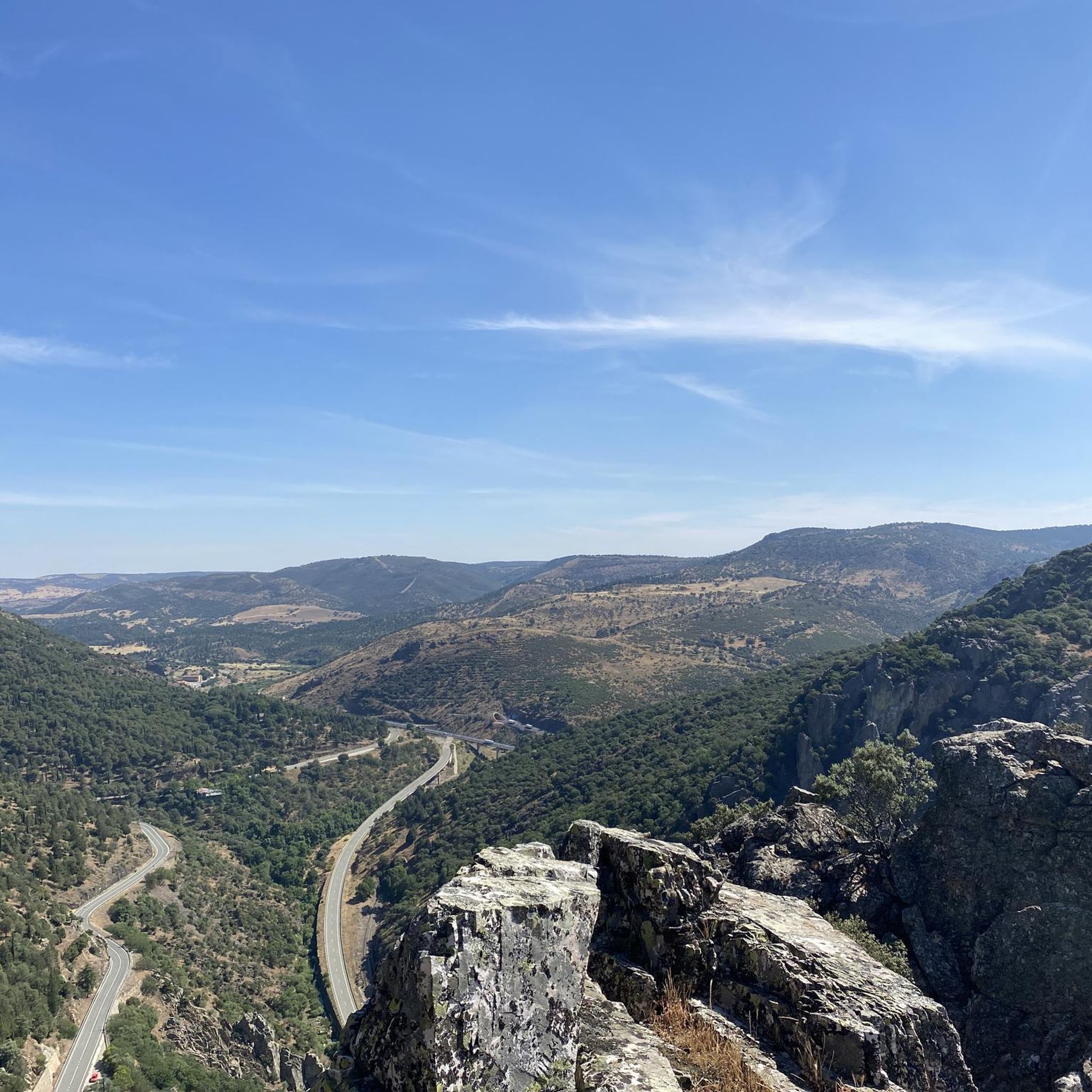
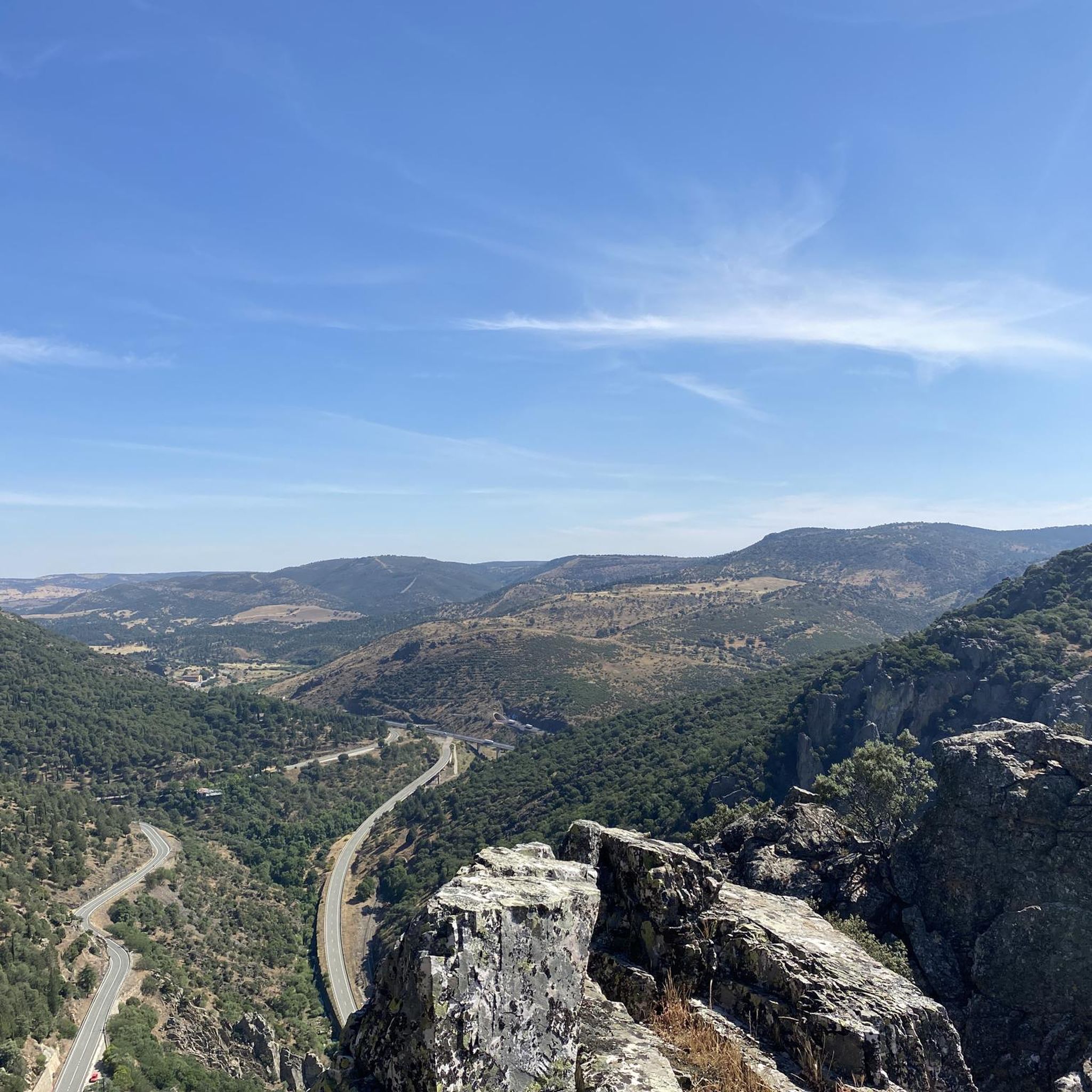
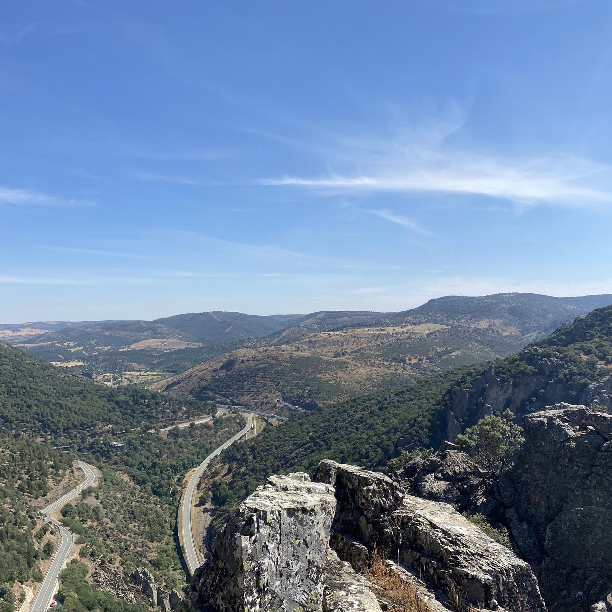
El Mirador del Balcón de Despeñaperros is the exact opposite of Collado de la Aviación. Panoramic viewpoint over the Despeñaperros gorge Located next to Santa Elena, very accessible With wide (180º) views of the entire park: Puerto del Rey, Castro Ferral, the Despeñaperros pass…
2
0
Collado de los Jardines is an archaeological and natural site located in Santa Elena, in the province of Jaén. This place is known for its historical and cultural significance, especially for the Iberian votive offerings found in the Cueva de los Muñecos (Cave of the Dolls). These votive offerings are small bronze figures that the ancient Iberians offered to their gods as part of their religious rituals. Collado de los Jardines is located in the Despeñaperros Natural Park, an area of outstanding natural beauty that offers various hiking trails and opportunities to observe the local fauna and flora.
2
0
The Mirador de la Estación de Santa Elena in the Sierra Morena is a spectacular spot to enjoy panoramic views of the region. This viewpoint offers stunning views of the mountainous landscapes and vegetation typical of the Sierra Morena. It is a popular destination for nature and hiking lovers, providing a peaceful and rejuvenating experience.
3
0


Miranda del Rey is a small town near Santa Elena and is the “gate” of the old route through the Despeñaperros pass. It contains a public fountain to refill water.
1
0

At one of the last elevations of Sierra Morena we find this town of Aldeaquemada, where all of its valleys and mountains head south towards the great plain of the Río Guadalquivir. In the middle of the center we find its square, cobbled and square where we find the town hall and its church.
0
0
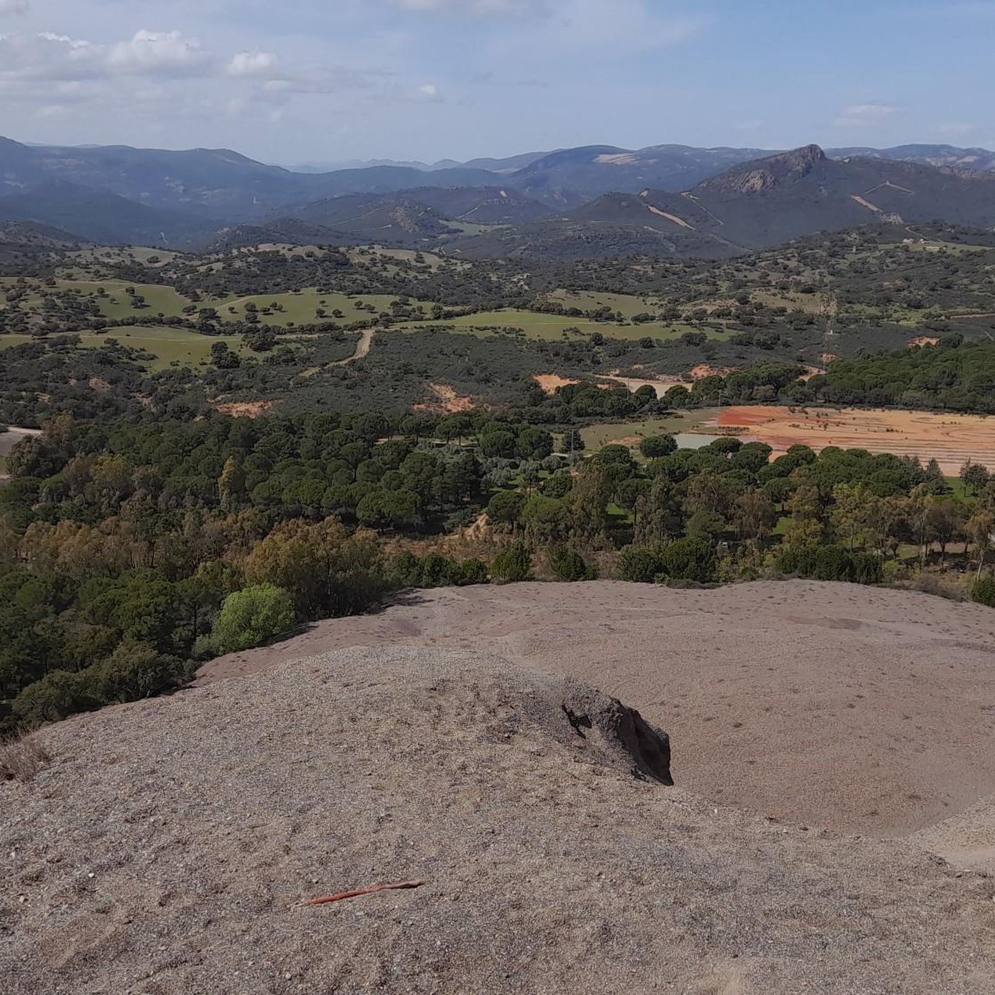
Typical mountain landscape that gives off many aromas and colors worth savoring and observing. A little further on, on the right, a road of Roman origin begins upriver that crosses all of Despeñaperros.
1
0
Frequently Asked Questions
What types of road cycling routes can I find in National Park Despeñaperros?
National Park Despeñaperros offers a diverse range of road cycling routes, from moderate to difficult. You'll find routes traversing dramatic gorges, unique rock formations like Los Órganos, and extensive Mediterranean woodlands. There are 11 routes available, with 6 moderate and 4 difficult options.
Are there any challenging road cycling routes for experienced cyclists?
Yes, for experienced cyclists seeking a challenge, National Park Despeñaperros offers several difficult routes. One notable option is the La Aliseda – Collado de los Jardines loop from Río Despeñaperros, which covers approximately 81 km with significant elevation gain. Another demanding route is the Monument Navas De Tolosa – El Guindo Mining Village loop from Río Despeñaperros, spanning about 94 km through varied terrain.
What natural features and landmarks can I expect to see while cycling in the park?
Road cycling routes in National Park Despeñaperros offer stunning views of the Despeñaperros Gorge, with its impressive steep walls. You can also encounter unique geological formations such as the Mirador de los Órganos, which resembles giant church organ pipes. The Salto del Fraile Waterfall and Spring is another beautiful natural highlight, especially vibrant after rain. Additionally, the Balcón de Despeñaperros Viewpoint provides panoramic vistas of the dramatic landscape.
Are there any historical sites or points of interest along the cycling routes?
Yes, the park is rich in history. Cyclists can explore areas with archaeological remains and ancient rock paintings. For instance, the Vacas del Retamoso Rock Art is a significant historical site. You might also pass by the El Empedraillo or the Ruins of Castillo de Castro Ferral, offering glimpses into the region's past.
What is the typical duration and distance of road cycling routes in Despeñaperros?
The road cycling routes in National Park Despeñaperros vary in length and duration. Moderate routes, like the Parque Natural de Despeñaperros — round trip through the Collado de los Jardines and Mirador Estacion de Santa Elena, are around 39 km and can take about 2 hours 11 minutes. More difficult routes can extend up to 94 km, requiring approximately 5 hours to complete, depending on your pace and stops.
Are there any circular road cycling routes available?
Yes, many of the road cycling routes in National Park Despeñaperros are designed as loops, allowing you to start and finish in the same location. Examples include the La Aliseda – Collado de los Jardines loop from Río Despeñaperros and the Monument Navas De Tolosa – El Guindo Mining Village loop from Río Despeñaperros, both offering comprehensive tours of the park's diverse landscapes.
What is the best time of year for road cycling in National Park Despeñaperros?
While specific seasonal recommendations aren't provided, the Mediterranean climate suggests that spring and autumn would be ideal for road cycling. These seasons typically offer milder temperatures and less extreme weather, making for more comfortable rides through the park's varied terrain and woodlands. Summers can be very hot, and winters might bring cooler temperatures and rain, especially when waterfalls like Salto del Fraile are most vibrant.
Are there any cafes or amenities along the road cycling routes?
The guide focuses on the natural and historical aspects of the park's routes. While specific cafes or pubs directly on the routes are not detailed, the park's status as a popular outdoor destination suggests that amenities can be found in nearby towns and villages surrounding the National Park Despeñaperros, particularly at common starting or ending points for routes.
What are the elevation gains like on the road cycling routes?
The routes in National Park Despeñaperros feature significant elevation gains due to the rugged Sierra Morena mountain range. For example, a moderate route like the Parque Natural de Despeñaperros — round trip through the Collado de los Jardines and Mirador Estacion de Santa Elena involves an ascent of approximately 857 meters. More difficult routes, such as the Monument Navas De Tolosa – El Guindo Mining Village loop from Río Despeñaperros, can have over 1700 meters of climbing, providing a substantial workout.
Is there parking available for road cyclists at National Park Despeñaperros?
While specific parking locations are not detailed for each route, as a National Park and popular outdoor destination, it is generally expected that designated parking areas are available at key access points or trailheads. It is advisable to check local information or maps for specific parking facilities near your chosen starting point within the park.
What do other road cyclists enjoy most about cycling in National Park Despeñaperros?
The komoot community frequently praises the dramatic landscapes and unique geological formations encountered on the routes. Cyclists particularly enjoy the challenging ascents and descents through the rugged Sierra Morena, as well as the scenic beauty of the Despeñaperros Gorge and the extensive Mediterranean woodlands. The variety of routes catering to different fitness levels is also highly valued.
Most popular routes around National Park Despeñaperros
Most popular attractions around National Park Despeñaperros

Get inspired with the komoot mobile app


Explore more
Browse the best Road cycling routes in other regions.
