The best walks and hikes around Réserve naturelle de Mantet
4.6
(1722)
12,358
hikers
246
hikes
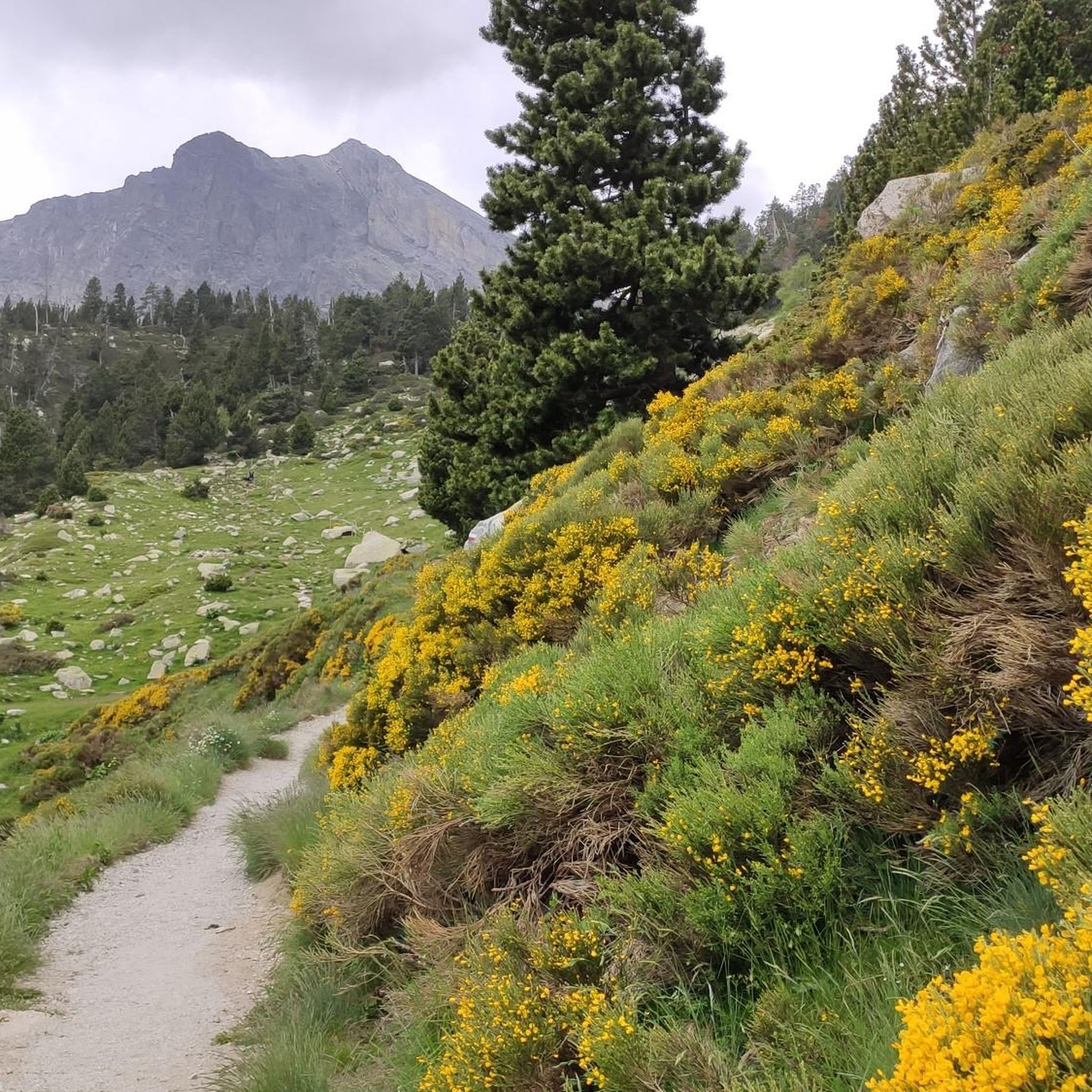
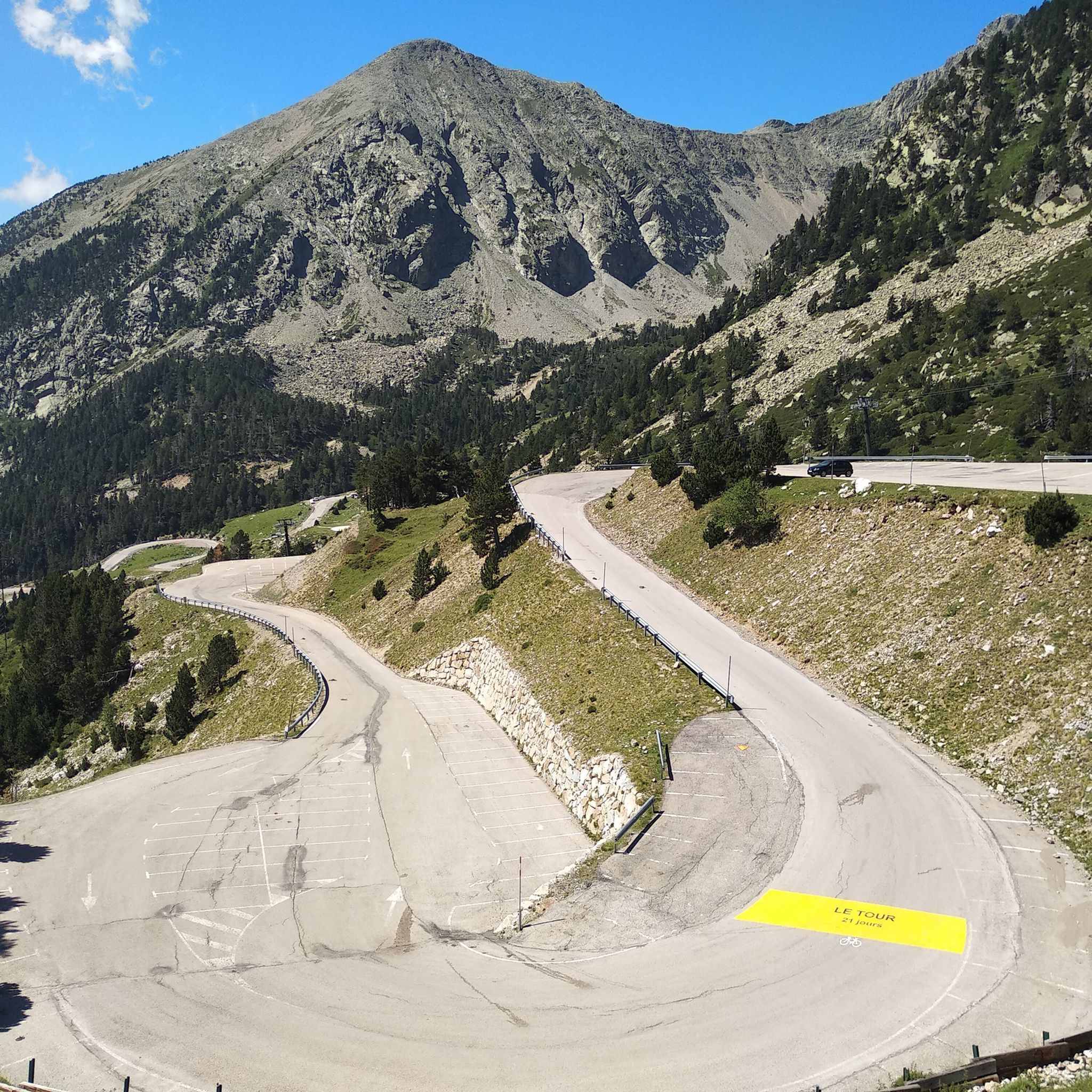
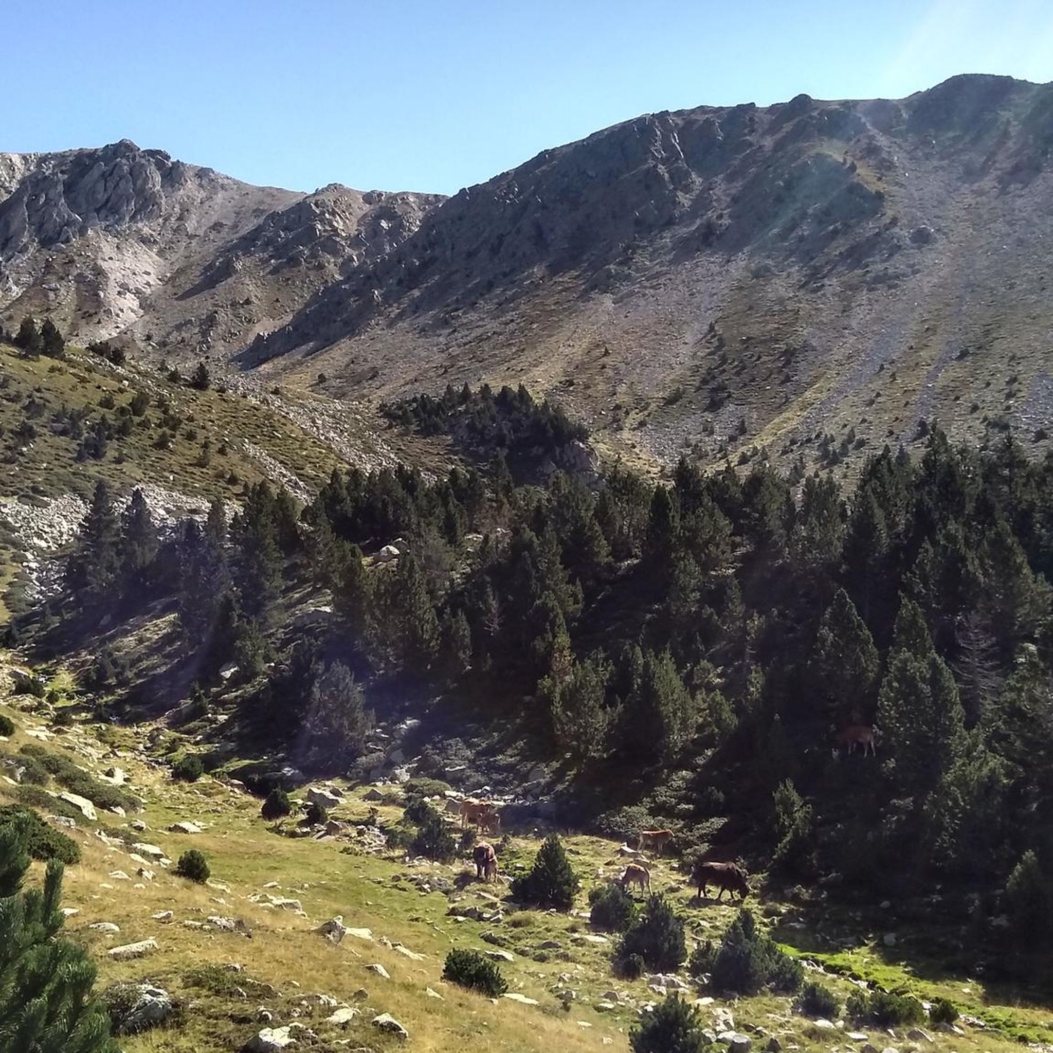
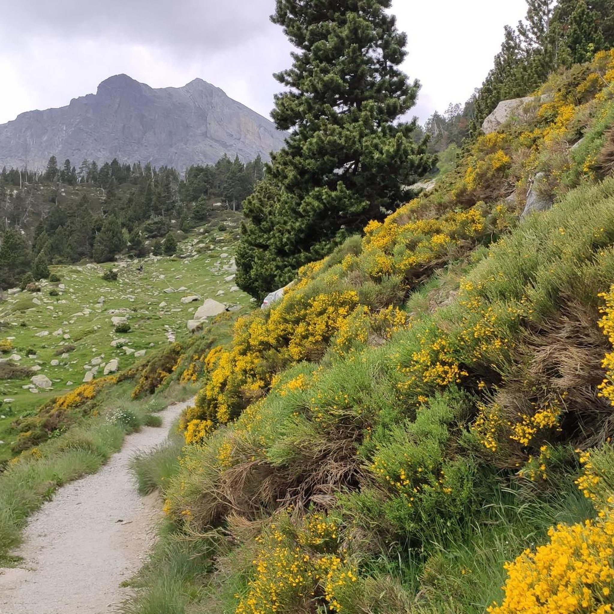
Hiking around Réserve naturelle de Mantet offers access to diverse mountainous terrain in the eastern Pyrénées, Occitanie, France. The reserve spans an altitudinal range from 1,400 meters to 2,700 meters, featuring three parallel valleys formed by the Mantet river and its tributaries. Landscapes include dense forests of hook pine, open heathlands, meadows, and rocky screes. The highest point, Pic de la Dona, provides extensive views of the surrounding massifs.
Best hiking trails around Réserve naturelle de Mantet
- The most popular…
Last updated: July 12, 2026
4.5
(2)
13
hikers
19.0km
07:58
1,310m
1,310m
Hard hike. Very good fitness required. Mostly accessible paths. Sure-footedness required.
4.7
(14)
112
hikers
12.0km
03:57
570m
570m
Moderate hike. Good fitness required. Easily-accessible paths. Suitable for all skill levels.

Sign up for free
4.8
(4)
27
hikers
8.76km
03:13
570m
570m
Moderate hike. Good fitness required. Easily-accessible paths. Suitable for all skill levels.
5.0
(6)
28
hikers
15.7km
05:30
800m
800m
Hard hike. Very good fitness required. Mostly accessible paths. Sure-footedness required.
5.0
(2)
16
hikers
15.9km
06:46
960m
960m
Hard hike. Very good fitness required. Mostly accessible paths. Sure-footedness required.
Get access to more routes and recommendations from other explorers.
Sign up for free
Already have an account?
Our route recommendations are based on thousands of hikes, rides, and runs completed by other people on komoot.
Start today with a free account
Your next adventure awaits.
Login or Signup
Popular around Réserve naturelle de Mantet


Tips from the Community

Great place to have something to eat or drink
0
0

Beautiful mountain pass with wonderful views
2
0

Return to the road going down (rocky then forest track) from the Col des Roques Blanches.
2
0

Sublime viewpoint over the Conflent and the Canigó massif. Towards the south, it is the high erosion surfaces which crown the village of Mantet which are revealed and tell a recent geological history: that of the flattening of the first Pyrenees and the regional uplift which brings a vast plain to altitude. Today, only scraps of plain remain dissected by the valleys: the plas de Campmagre at Pla Guillem.
0
0

La Portella de Mentet[1] is a high mountain pass of the eastern foothills of the Massís del Canigó, at 2,412 meters of altitude, at the limit of the communal terms of Mentet, of the Conflent region, in Northern Catalonia, and municipal of Setcases, of Ripollès.
3
0

This small trail starts from Mantet and climbs to the Col del Pal at an altitude of 2,293 meters. It crosses meadows, crosses small streams, winds through the reliefs of the massif and offers superb views of the nature that surrounds you.
1
0

Roca Colom a peak that offers us impressive views of the Ripollès region
1
0

The Col del Pal culminates at 2,294 meters above sea level. It is crossed by the GR 10 and offers magnificent panoramas of the Conflent.
2
0
Frequently Asked Questions
What are the general difficulty levels of hiking trails in Réserve naturelle de Mantet?
Réserve naturelle de Mantet offers a wide range of hiking trails suitable for various experience levels. You'll find over 240 routes, with a good mix of moderate and difficult options. Approximately 115 routes are classified as moderate, while 93 are considered difficult, often involving significant elevation changes up to 2,700 meters. There are also around 32 easier trails available for those seeking a less strenuous experience.
Are there any family-friendly hiking options suitable for children in Réserve naturelle de Mantet?
Yes, there are family-friendly options. The reserve features an interpretive trail called "Sur les traces de Ciscou le berger" (On the footsteps of Ciscou the shepherd) near the village of Mantet. This shorter, engaging walk highlights the natural and cultural heritage, and an audioguide is available at the Maison de la Nature to enhance the experience for all ages. For slightly more active families, there are also easier hiking routes among the 32 available in the reserve.
Can I bring my dog on the hiking trails in Réserve naturelle de Mantet?
No, dogs are not permitted on the hiking trails within the Réserve naturelle de Mantet, even on a leash. This regulation is in place to protect the diverse wildlife, which includes sensitive species like chamois, wildcats, and various rare birds. The tranquil environment is crucial for their survival.
What kind of natural features and landscapes can I expect to see while hiking in the reserve?
Réserve naturelle de Mantet boasts a diverse landscape, ranging from 1,400 to 2,700 meters in altitude. You'll encounter dense forests dominated by hook pine, especially on northern slopes, alongside birch and fir in wetter areas. Southern slopes feature open heathlands and meadows. The terrain is characterized by three parallel valleys, rocky screes, and cliffs, offering stunning mountainous views. Keep an eye out for endemic Pyrenean plant species in clearings and wet areas.
What are some notable landmarks or points of interest to explore in Réserve naturelle de Mantet?
The reserve is home to several significant natural landmarks. The highest point is Pic de la Dona (2,702 m), offering extensive views. Another prominent feature is Roca Colom summit, which provides panoramic vistas of the surrounding mountains, including the cirque of Ulldeter. You can also explore the Mentet Pass and Col del Pal, which are key points along many trails.
Are there any circular hiking routes available in Réserve naturelle de Mantet?
Yes, the reserve offers several excellent circular hiking routes. A popular choice is the Mentet Pass – Mantet Pass loop from Mantet, a moderate 12.1 km path that takes you through varied terrain. Another option is the Mantet – Superb panoramic trail loop from Mantet, an 8.8 km trail offering diverse landscapes and panoramic views, typically completed in about 3 hours.
Where can I find parking when visiting Réserve naturelle de Mantet for hiking?
Parking is generally available near the village of Mantet, which serves as a primary starting point for many trails within the reserve. The Maison de la Nature in Mantet can provide specific guidance on designated parking areas. Remember that motorized vehicles are prohibited within the reserve itself to preserve its natural state.
What is the best time of year to go hiking in Réserve naturelle de Mantet?
The best time to hike in Réserve naturelle de Mantet is typically from late spring through early autumn (May to October). During these months, the weather is generally more stable, and trails are clear of snow, especially at lower and mid-altitudes. The diverse flora is vibrant in spring and summer, and autumn brings beautiful colors. Always check local weather conditions before heading out, as mountain weather can change rapidly.
What do other hikers enjoy most about hiking in Réserve naturelle de Mantet?
The area is highly rated by the komoot community, with an average score of 4.6 stars from over 1,600 reviews. Hikers frequently praise the stunning mountainous terrain, the rich biodiversity, and the sense of tranquility found within the reserve. Many appreciate the well-maintained trails and the diverse options available, from challenging ascents to more moderate loops, all offering breathtaking panoramic views.
Is there a visitor center or information point in Réserve naturelle de Mantet?
Yes, the Maison de la Nature in Mantet village serves as a welcoming center for visitors. It provides comprehensive information on the reserve's natural and cultural richness, detailed hiking itineraries, and refuge details. You can also learn about the reserve's regulations and explore a permanent exhibition. It's a great first stop to plan your visit and gather essential information.
What are the regulations I should be aware of when hiking in Réserve naturelle de Mantet?
To protect the environment and wildlife, several regulations are in place. Visitors are encouraged not to litter, pick flowers, collect insects or minerals, or camp. Motorized vehicles are prohibited, and as mentioned, dogs are not allowed, even on a leash. Hikers are advised to be well-equipped, check weather conditions, and inform others of their planned routes for safety.
Most popular routes around Réserve naturelle de Mantet
Most popular attractions around Réserve naturelle de Mantet

Get inspired with the komoot mobile app


Explore more
Browse the best Hikes in other regions.
