The best mountain hikes around Réserve naturelle des Isles du Drac
4.6
(14)
85
hikers
5
hikes
Mountaineering routes around Réserve naturelle des Isles du Drac primarily explore the mountainous terrain surrounding the reserve, which is characterized by significant elevation changes and diverse landscapes. While the reserve itself features dynamic riverbeds, gravel banks, and alluvial forests, the mountaineering routes extend into the nearby Vercors massif and other surrounding peaks. This region offers a blend of dense woodlands, open mountain slopes, and panoramic viewpoints over valleys and the city of Grenoble. The area's "mountain influences" contribute to varied…
Last updated: October 4, 2026
4.7
(3)
9
hikers
12.1km
05:21
800m
800m
Hard mountaineering route. Very good fitness required. Sure-footedness, sturdy shoes and alpine experience required.
5.0
(5)
26
hikers
8.90km
04:06
700m
700m
Hard mountaineering route. Good fitness required. Sure-footedness, sturdy shoes and alpine experience required.

4.0
(1)
11
hikers
12.3km
03:54
520m
520m
Hard mountaineering route. Good fitness required. Sure-footedness, sturdy shoes and alpine experience required.
5.0
(1)
6
hikers
6.70km
02:16
340m
340m
Moderate mountaineering route. Good fitness required. Mostly accessible paths. Sure-footedness required.
14
hikers
8.38km
03:36
610m
610m
Moderate mountaineering route. Good fitness required. Mostly accessible paths. Sure-footedness required.
Our route recommendations are based on thousands of hikes, rides, and runs completed by other people on komoot.
Start today with a free account
Your next adventure awaits.
Popular around Réserve naturelle des Isles du Drac
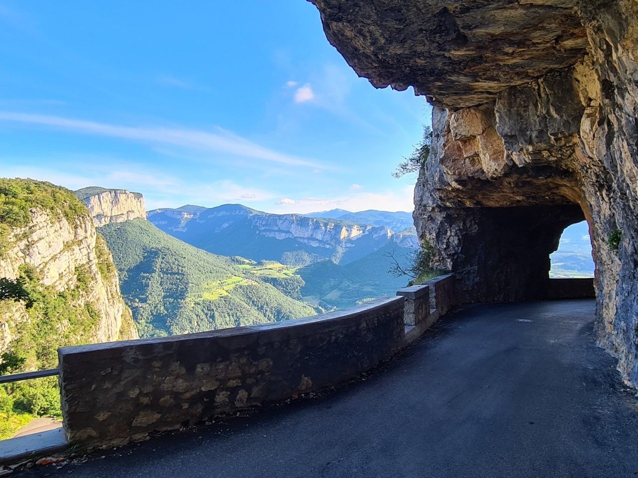
La Grande Traversée du Vercors — In the West of the Alps
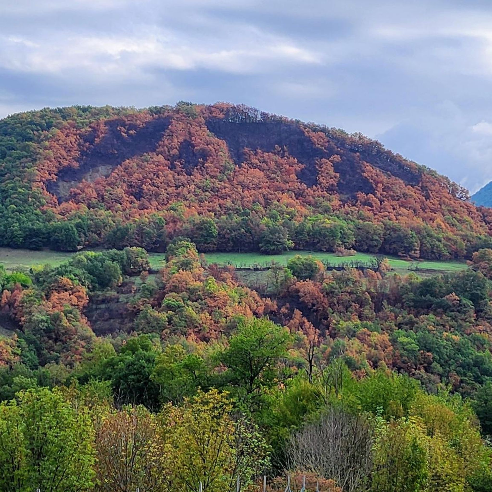
Running Trails around Réserve naturelle des Isles du Drac
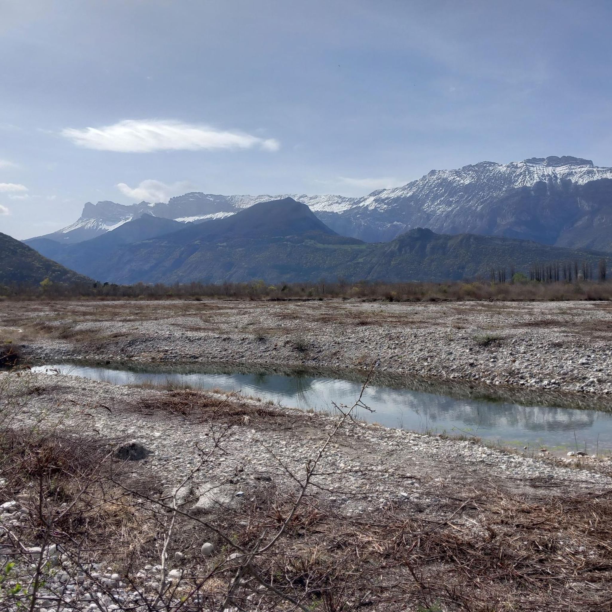
Road Cycling Routes around Réserve naturelle des Isles du Drac
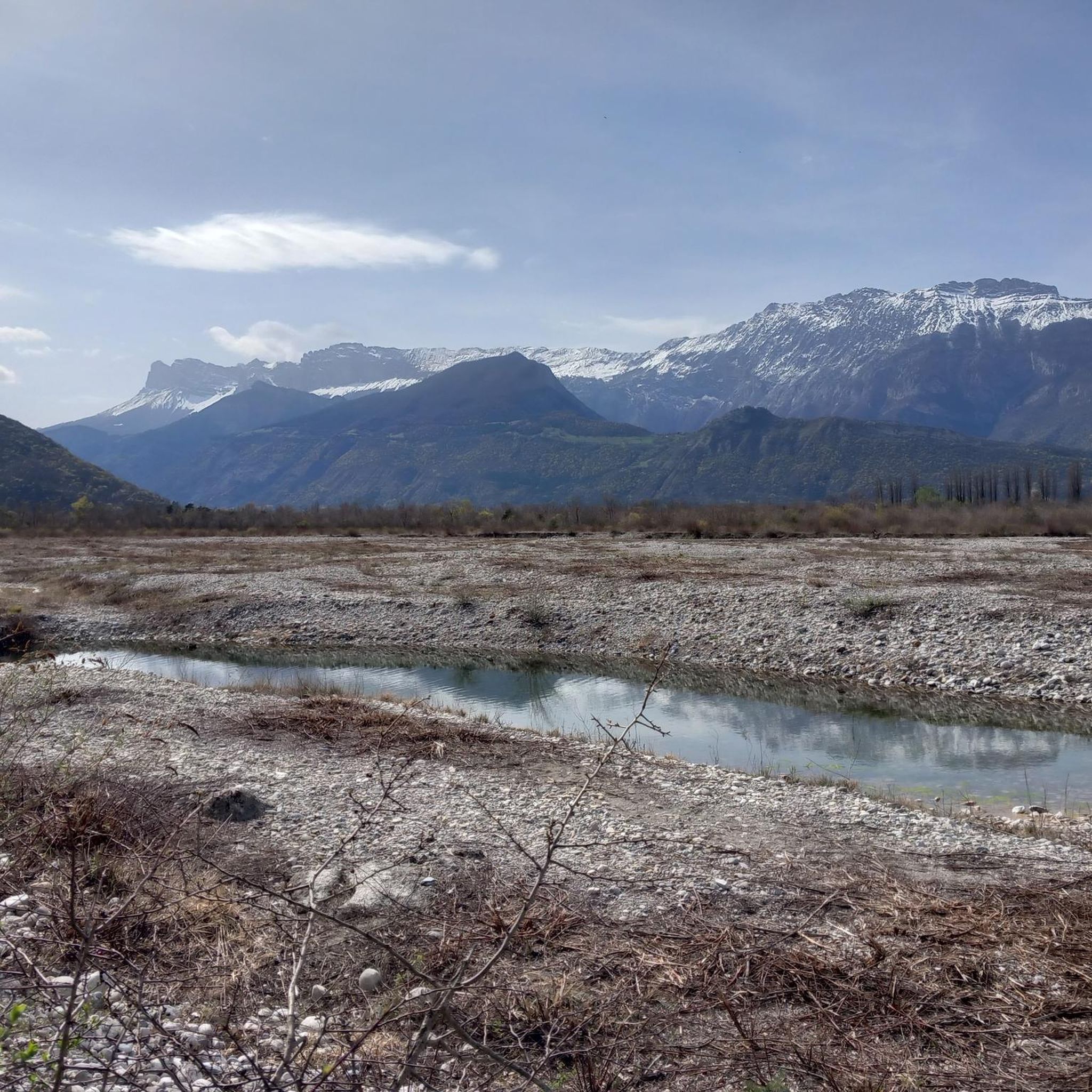
Cycling around Réserve naturelle des Isles du Drac
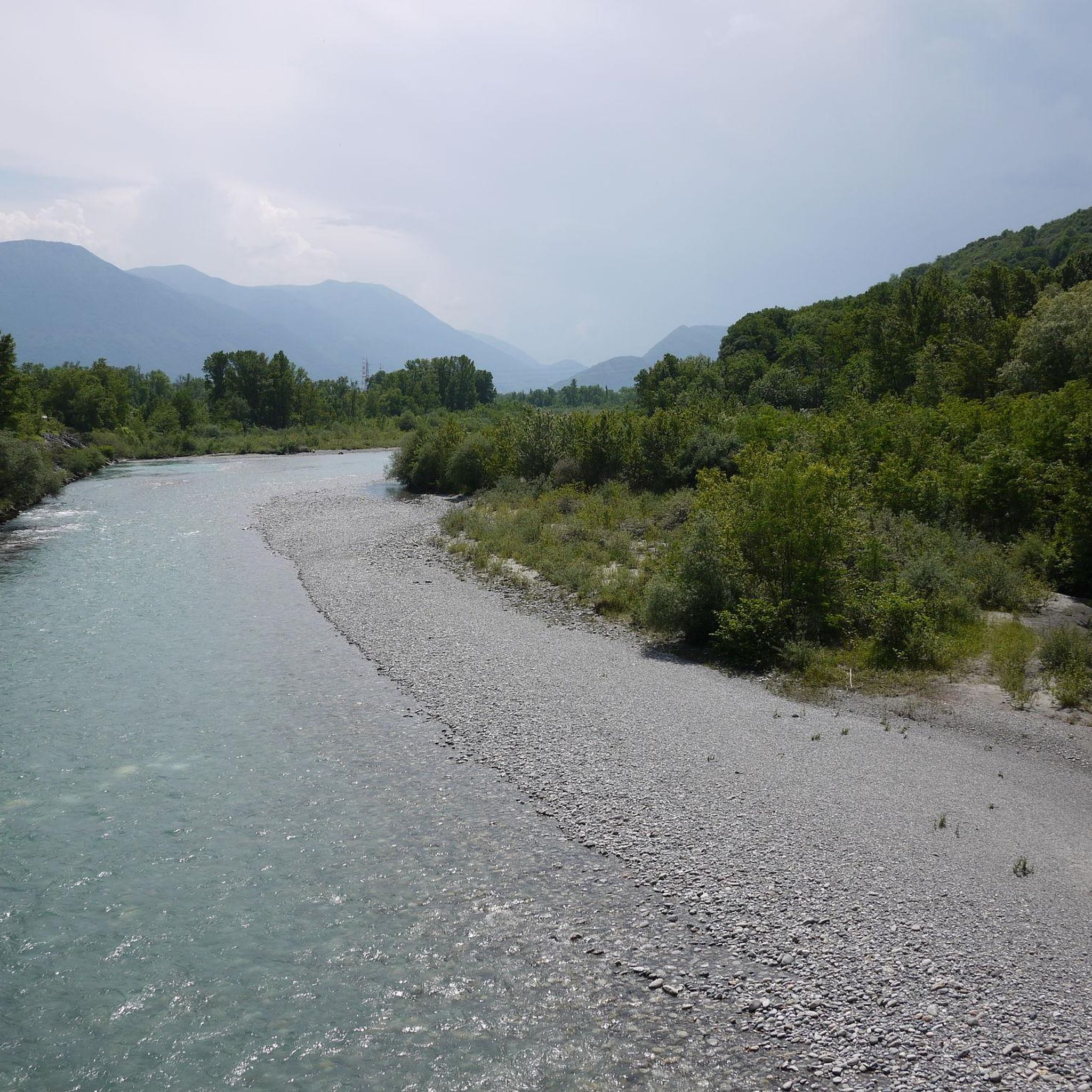
Hiking around Réserve naturelle des Isles du Drac
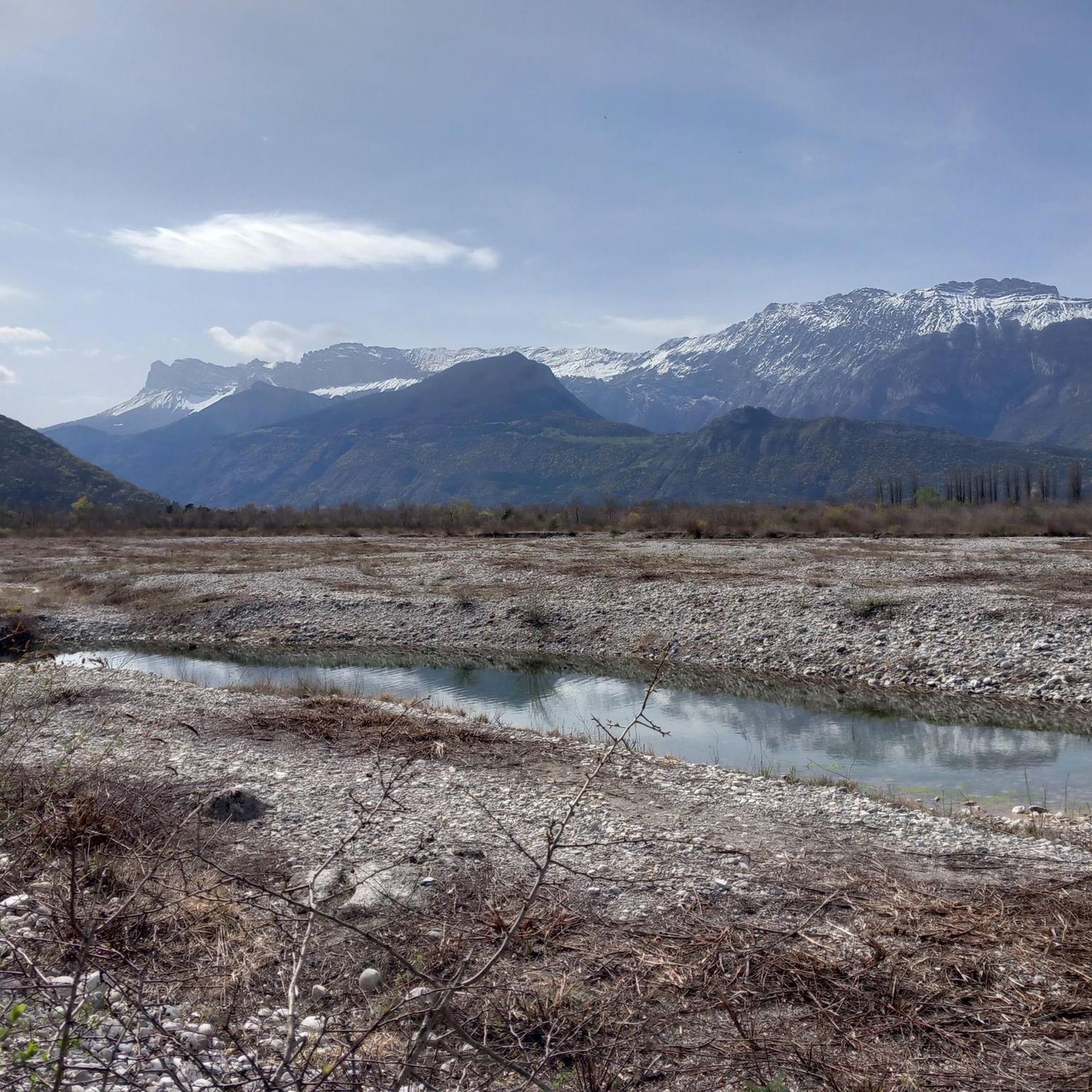
MTB Trails around Réserve naturelle des Isles du Drac
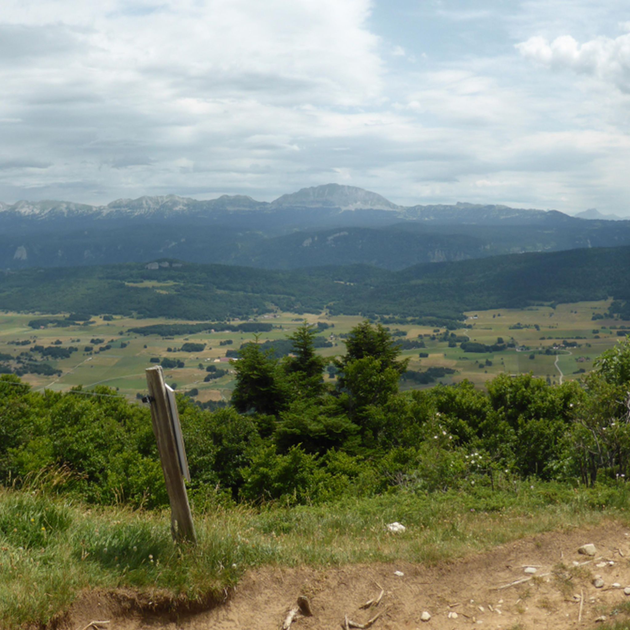
Gravel biking around Réserve naturelle des Isles du Drac
Other adventures around Réserve naturelle des Isles du Drac

Tips from the Community


Beautiful view of the city, both day and night. Drinking water available.
1
0


Basically Grenoble's local mountain, great for a walk early in the morning or in the evening with a rewarding view over the city.
4
0

A place worth seeing On the Isère and Drac rivers. Many good bike paths. Beautiful views.
0
0
Frequently Asked Questions
What kind of terrain can I expect on mountaineering routes around Réserve naturelle des Isles du Drac?
The mountaineering routes primarily explore the mountainous terrain surrounding the reserve, extending into the nearby Vercors massif and other peaks. You can expect a blend of dense woodlands, open mountain slopes, and areas offering panoramic viewpoints over valleys and the city of Grenoble. The region's diverse ecological zones provide a rich backdrop for challenging ascents and descents.
How many mountaineering routes are available in the area?
There are 8 mountaineering routes available around Réserve naturelle des Isles du Drac, offering a variety of experiences for different skill levels.
Are there routes suitable for beginners or those looking for a moderate challenge?
Yes, while many routes are challenging, there are options for moderate skill levels. For example, the The belvedere – Summit Vertigo loop from Montagnes de Lans Station is rated as moderate, offering a good option for those seeking a less strenuous mountaineering experience.
What are some of the more challenging mountaineering routes?
For those seeking a significant challenge, routes like the Mon Jalla loop from Grenoble, which is 11.4 km and takes over 5 hours, offer expansive views and a difficult grade. Another demanding option is the Moucherotte Shelter loop from Saint-Nizier-du-Moucherotte, traversing varied mountain terrain to a shelter with scenic vistas.
Are there any circular mountaineering routes?
Yes, several routes are circular. For instance, the Saint-Nizier-du-Moucherotte – Saint-Nizier-du-Moucherotte loop from Saint-Nizier-du-Moucherotte is a 8.9 km circular trail that leads through mountain forests and open slopes. Another circular option is the View – The Moucherotte Summit loop from Montagnes de Lans Station.
What do other mountaineers say about the routes in this area?
The routes around Réserve naturelle des Isles du Drac are highly rated by the komoot community, with an average score of 4.7 stars from over 19 reviews. Mountaineers often praise the varied terrain, challenging ascents, and the panoramic views of Grenoble and the surrounding peaks.
Can I bring my dog on these mountaineering trails?
While the Réserve naturelle des Isles du Drac itself is a protected area with specific rules for wildlife, the mountaineering routes extend into the surrounding Vercors massif. It's generally advisable to check local regulations for specific trails regarding dogs, especially if they are off-leash. Always ensure your dog is under control and respect wildlife.
Are there any family-friendly mountaineering options?
The mountaineering routes in this guide are generally rated moderate to difficult, suggesting they might be challenging for very young children or families new to mountaineering. However, families with older, experienced children might enjoy the moderate routes. For easier walks and nature observation, the Réserve naturelle des Isles du Drac offers interpretive trails like the 2.8 km path at Chasse-Barbier.
What kind of wildlife might I encounter on the trails?
While the core Réserve naturelle des Isles du Drac is a biodiversity hotspot with species like the European Nightjar, European Beaver, and various amphibians, the mountaineering routes extend into the broader mountainous region. Here, you might observe roe deer, foxes, and various bird species, especially during quieter times of day like early morning or late evening.
Are there any specific viewpoints or landmarks along the mountaineering routes?
Many routes offer panoramic viewpoints over Grenoble and the surrounding valleys. For example, the Mon Jalla loop from Grenoble is known for its expansive views. The Moucherotte Shelter loop leads to a shelter with scenic vistas, providing a great spot to take in the mountain scenery.
Is public transport available to reach the trailheads?
Many of the mountaineering routes start from towns like Grenoble or Saint-Nizier-du-Moucherotte, which are generally accessible by public transport. For specific trailhead access, it's recommended to check local bus or tram schedules from Grenoble to these starting points.
What is the best time of year for mountaineering in this region?
The best time for mountaineering around Réserve naturelle des Isles du Drac typically depends on the specific route and elevation. Generally, late spring through early autumn (May to October) offers the most favorable conditions, with less snow and more stable weather. Winter mountaineering is possible but requires specialized equipment and experience due to snow and ice conditions.
Most popular routes around Réserve naturelle des Isles du Drac

Get inspired with the komoot mobile app


Explore more
Browse the best Mountain Hikes & Routes in other regions.
