The best gravel rides around Réserve naturelle des Isles du Drac
4.6
(162)
1,032
riders
31
rides
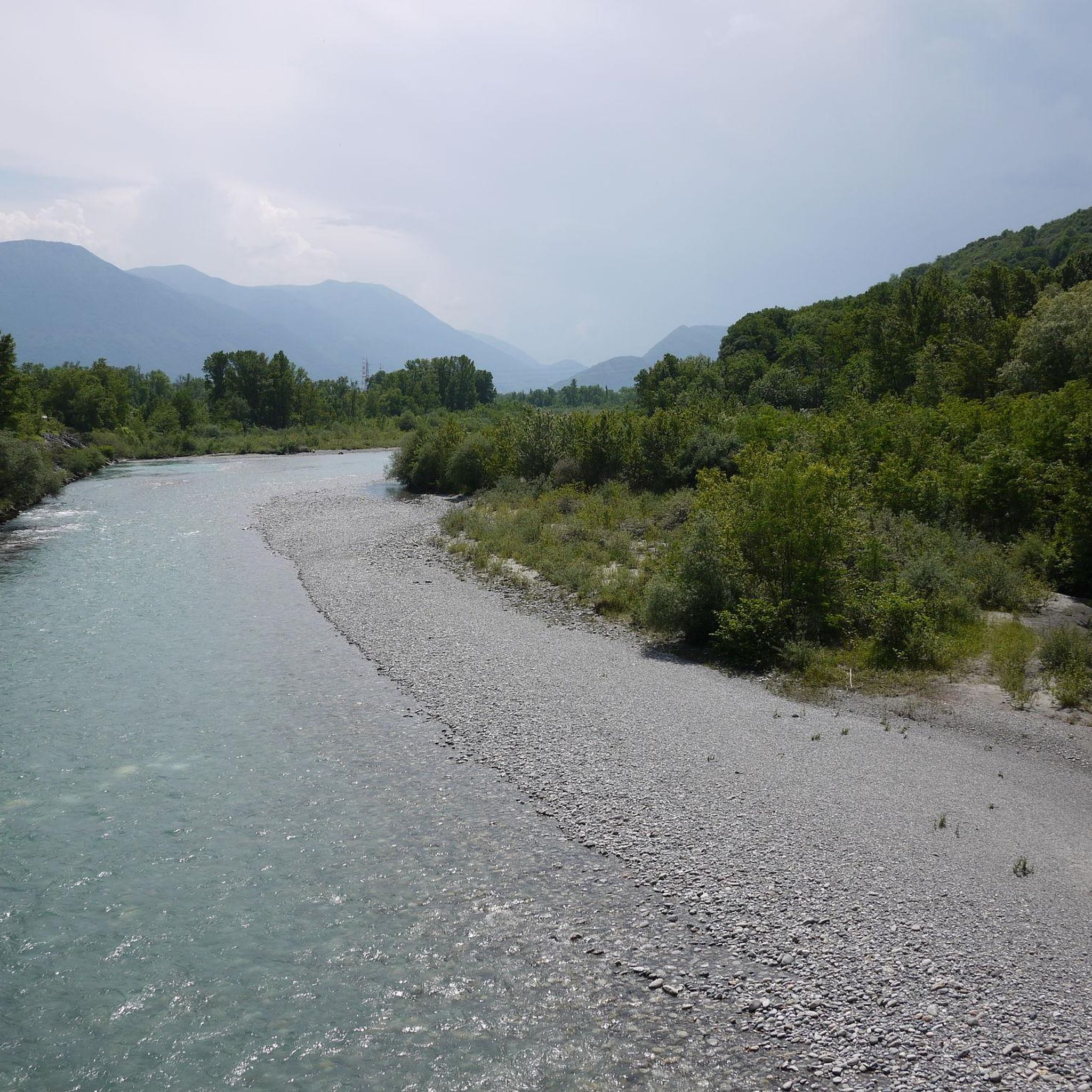
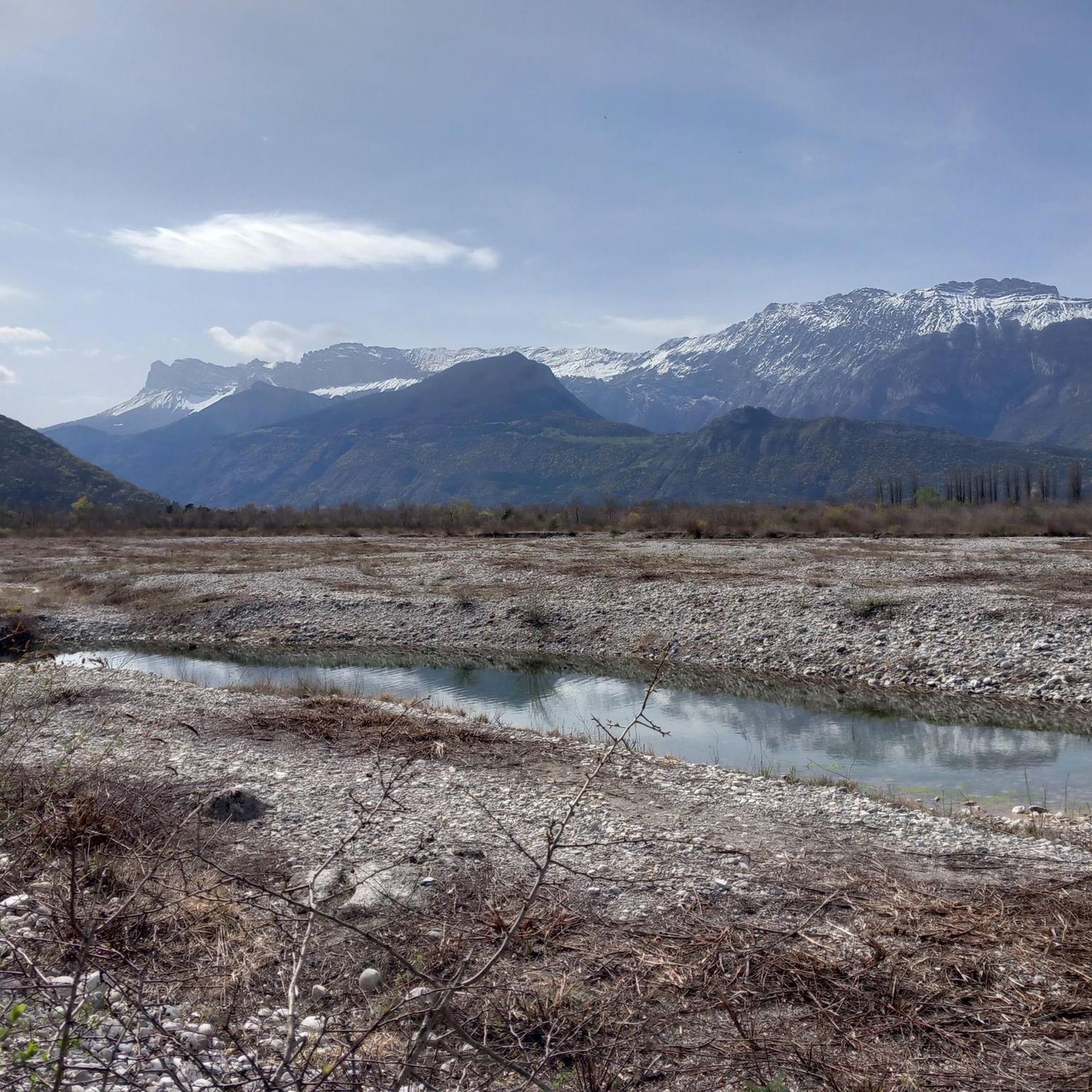
Gravel biking around Réserve naturelle des Isles du Drac offers diverse terrain along the Drac river, characterized by a braided riverbed and extensive gravel banks. The landscape includes alluvial forests, dry terraces, and wetlands, providing varied surfaces for riding. These natural features are shaped by both mountainous and Mediterranean climates. The region features a network of trails suitable for off-road cycling.
Best gravel bike trails around Réserve naturelle des Isles du Drac
- The most popular gravel bike trail is Nice…
Last updated: October 6, 2026
5.0
(2)
22
riders
91.7km
06:05
1,510m
1,510m
Hard gravel ride. Very good fitness required. Mostly paved surfaces. Suitable for all skill levels.
5.0
(2)
10
riders
42.5km
03:16
1,100m
1,100m
Hard gravel ride. Very good fitness required. Mostly paved surfaces. Suitable for all skill levels.

5.0
(1)
63
riders
53.5km
03:57
1,360m
1,360m
Hard gravel ride. Very good fitness required. Mostly paved surfaces. Suitable for all skill levels.
4.0
(1)
11
riders
36.9km
02:27
640m
640m
Hard gravel ride. Very good fitness required. Mostly paved surfaces. Suitable for all skill levels.
4.6
(7)
22
riders
46.0km
03:49
1,010m
1,010m
Hard gravel ride. Very good fitness required. Mostly paved surfaces. Suitable for all skill levels.
Get access to more routes and recommendations from other explorers.
Already have an account?
Our route recommendations are based on thousands of hikes, rides, and runs completed by other people on komoot.
Start today with a free account
Your next adventure awaits.
Popular around Réserve naturelle des Isles du Drac
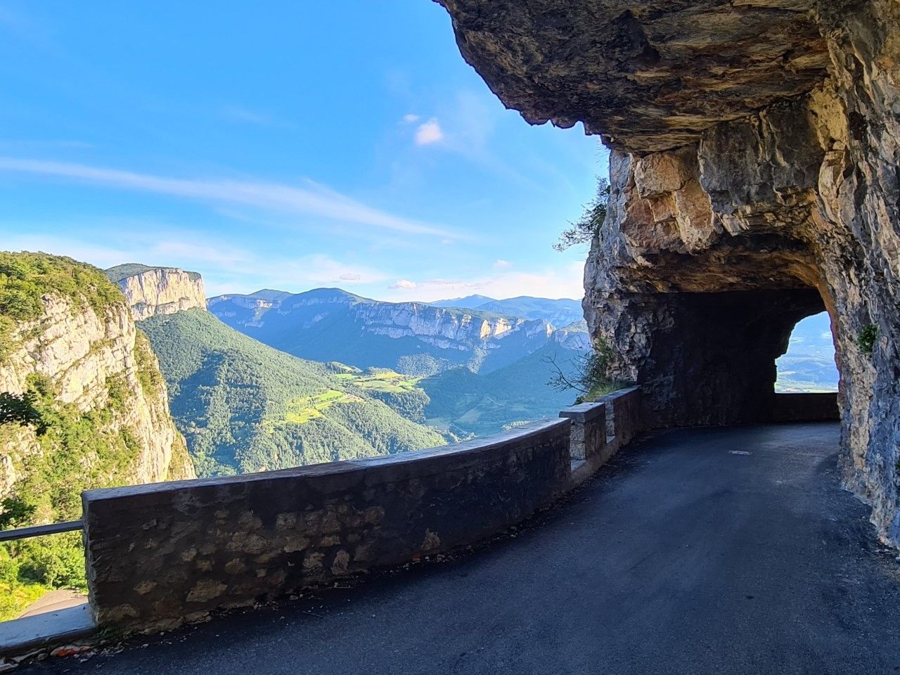
La Grande Traversée du Vercors — In the West of the Alps
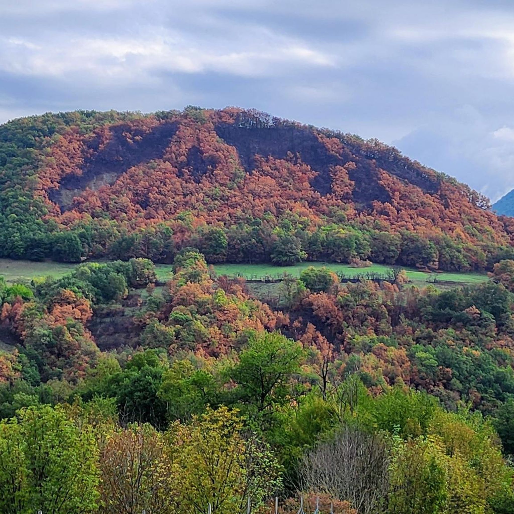
Running Trails around Réserve naturelle des Isles du Drac
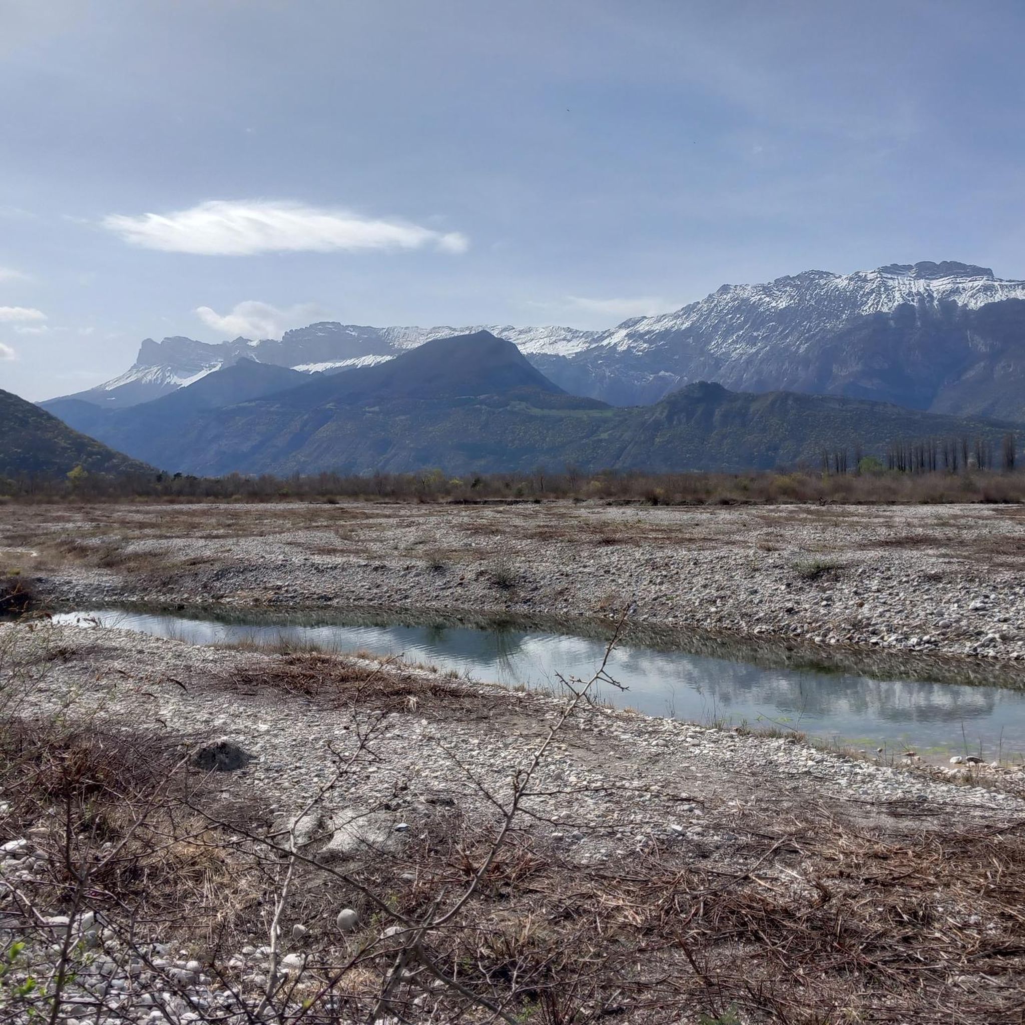
Road Cycling Routes around Réserve naturelle des Isles du Drac
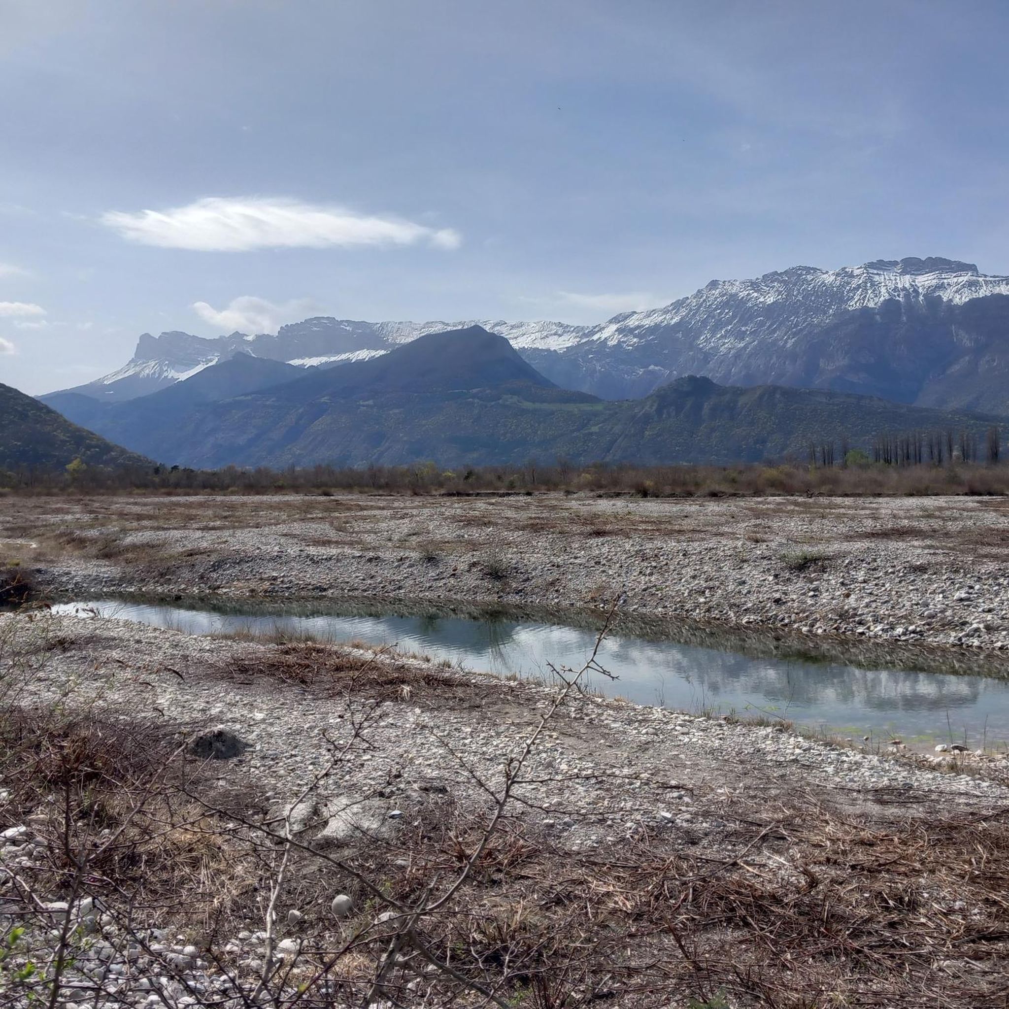
Cycling around Réserve naturelle des Isles du Drac
Hiking around Réserve naturelle des Isles du Drac
MTB Trails around Réserve naturelle des Isles du Drac

Mountain Hikes around Réserve naturelle des Isles du Drac
Other adventures around Réserve naturelle des Isles du Drac

Tips from the Community

Superb gravel track to reach Lans-en-Vercors and Villars-de-Lans.
0
0
Joli chemin avec anciens tunnels et une pente régulière mais en vélo gravel le chemin est plutôt cassant et pas très agréable.
0
0

La ViaVercors, the first mountain greenway, offers a discovery route for tourism and leisure purposes over nearly 55 km. Located in the Vercors Regional Natural Park, it connects the municipalities of the territory to form an inter-municipal link for ecomobility. Engins, Saint-Nizier-du-Moucherotte, Lans-en-Vercors, Villard-de-Lans, Corrençon-en-Vercors, Autrans-Méaudre en Vercors, no municipality is forgotten.
0
0
The Via du Tram route, from Grenoble to Saint-Nizier-du-Moucherotte, follows the historic route of the tramway line built in 1909. This path takes you on a discovery of the region's wonders and its rich history. From the Resistance and its maquisards during World War II to the unique architecture of a former Olympic ski jump, you will visit, through fields, typical hamlets, and wooded valleys, environments with multiple curiosities. The 1,200 meters of elevation gain on the route will lead you to superb viewpoints.
0
0
The Via du Tram trail, from Grenoble to Saint-Nizier-du-Moucherotte, follows the historic route of the tramway line built in 1909. This path takes you on a discovery of the region's wonders and its rich history. From the Resistance and its partisans during World War II to the unique architecture of an old Olympic ski jump, you will visit, through fields, typical hamlets, and wooded valleys, environments with multiple points of interest. The trail's 1,200 meters of elevation gain will lead you to superb viewpoints.
0
0
The Via du Tram route, from Grenoble to Saint-Nizier-du-Moucherotte, follows the historic route of the tramway line built in 1909. This path takes you to discover the wonders of the region and its rich history. From the Resistance and its maquisards during the Second World War to the unique architecture of a former Olympic ski jump, you will visit, through fields, typical hamlets and wooded valleys, environments with multiple curiosities. The 1,200 meters of elevation gain on the route will lead you to superb viewpoints.
0
0
Viewpoint over Seyssens and the Drac valley
0
0

The most direct passage to leave Grenoble by the South following the Drac Decathlon Comboire is just to the south
0
0
Frequently Asked Questions
How many gravel bike trails are available in the Réserve naturelle des Isles du Drac?
There are nearly 60 gravel bike routes available in the Réserve naturelle des Isles du Drac. The komoot community has explored these trails over 1,200 times, with an average rating of 4.6 stars.
What is the general difficulty level of gravel biking in this region?
The Réserve naturelle des Isles du Drac primarily offers challenging gravel biking experiences. Out of nearly 60 routes, 48 are rated as difficult, with 10 moderate options and no easy trails. This makes it an ideal destination for experienced riders seeking varied terrain and elevation.
Are there any circular gravel bike routes in the Réserve naturelle des Isles du Drac?
Yes, many of the gravel routes in the area are circular. For example, you could try the Nice View – Lake Monteynard loop from Saint-Georges-de-Commiers, which offers significant elevation gain and views towards Lake Monteynard over 34.7 km.
What kind of terrain can I expect on gravel bike trails around the Drac river?
The terrain is highly diverse, characterized by the Drac river's 'braided' riverbed with extensive gravel banks. You'll encounter alluvial forests, dry terraces, and wetlands, providing a mix of surfaces from gravel paths to forested sections. This variety makes for an engaging gravel biking experience.
Are there any specific viewpoints or scenic spots along the gravel routes?
While specific viewpoints are not always marked, the region offers scenic views of the Drac river and its gravel banks, especially along the Promenade Thiervoz. Routes like the Nice View – Lake Monteynard loop from Saint-Georges-de-Commiers are known for their panoramic vistas towards Lake Monteynard.
What natural features can I observe while cycling in the Réserve naturelle des Isles du Drac?
The reserve is rich in biodiversity, home to over 700 plant species and nearly 500 animal species. Keep an eye out for protected species like the European beaver and the European nightjar. You might also spot kingfishers, various amphibians, reptiles, and dragonflies amidst the serene natural settings of the river, gravel banks, and alluvial woodlands.
Are there any longer, more challenging gravel routes for advanced riders?
Absolutely. For advanced riders seeking a significant challenge, the Lans-en-Vercors – Old streetcar track loop from Échirolles is an excellent option. This difficult 80.9 km trail leads through the Vercors foothills and typically takes nearly 6 hours to complete.
Where can I park my car when visiting the Réserve naturelle des Isles du Drac for gravel biking?
Public access points like Chasse-Barbier (accessible from Vif and Varces-Allières-et-Risset) and Promenade Thiervoz (accessible from Claix and Varces-Allières-et-Risset) are good starting points. These areas typically offer parking facilities for visitors exploring the reserve.
What do other gravel bikers say about the trails in Réserve naturelle des Isles du Drac?
The area is highly rated by the komoot community, with an average score of 4.6 stars from over 160 reviews. Reviewers often praise the diverse terrain, the natural beauty of the Drac river, and the challenging yet rewarding routes that immerse riders in nature.
Are there any shorter gravel routes suitable for a quicker ride?
Yes, if you're looking for a shorter, yet still challenging, ride, consider routes like the Faucherand gallery – Jean Jacques Rousseau desert loop from Seyssinet-Pariset. This difficult trail is about 16.8 km long and can be completed in under two hours, offering significant elevation gain in a compact distance.
Is it possible to access the Réserve naturelle des Isles du Drac by public transport?
The reserve is just a few kilometers from Grenoble, making it relatively accessible. While specific public transport routes directly to trailheads for gravel biking might vary, you can typically reach nearby towns like Vif, Varces-Allières-et-Risset, Claix, or Échirolles via public transport from Grenoble, and then cycle to the reserve's access points.
What is the best time of year for gravel biking in the Réserve naturelle des Isles du Drac?
The region experiences both mountainous and Mediterranean climates. Spring and autumn generally offer pleasant temperatures and stable weather conditions, ideal for gravel biking. Summers can be warm, so early morning or late afternoon rides are recommended. Winters might bring colder temperatures and potentially snow at higher elevations, though the riverine areas are often accessible.
Most popular routes around Réserve naturelle des Isles du Drac

Get inspired with the komoot mobile app


Explore more
Browse the best Gravel rides in other regions.
