The best road cycling routes around Parco Naturale del Monte Tre Denti - Freidour
4.6
(235)
7,073
riders
108
rides
Road cycling routes around Parco Naturale del Monte Tre Denti - Freidour traverse a landscape characterized by significant elevation changes and natural parkland. The region features varied terrain, ranging from hills to mountains, with altitudes spanning from 563 meters to 1445 meters at Monte Freidour. Cyclists encounter challenging climbs through extensive woodlands of beech, chestnut, and oak, alongside scenic descents. This area, part of the Cottian Alps foothills, presents diverse terrain suitable for road cyclists seeking both demanding ascents and…
Last updated: October 5, 2026
5.0
(7)
17
riders
16.5km
01:11
550m
550m
Moderate road ride. Good fitness required. Mostly well-paved surfaces and easy to ride.
4.0
(2)
61
riders
51.4km
02:03
180m
180m
Moderate road ride. Good fitness required. Mostly well-paved surfaces and easy to ride.

5.0
(1)
35
riders
Easy road ride. Great for any fitness level. Mostly well-paved surfaces and easy to ride.
5.0
(7)
22
riders
16.8km
01:12
560m
560m
Moderate road ride. Good fitness required. Mostly well-paved surfaces and easy to ride.
26
riders
46.7km
02:14
550m
550m
Moderate road ride. Good fitness required. Mostly well-paved surfaces and easy to ride.
Get access to more routes and recommendations from other explorers.
Already have an account?
Our route recommendations are based on thousands of hikes, rides, and runs completed by other people on komoot.
Start today with a free account
Your next adventure awaits.
Popular around Parco Naturale del Monte Tre Denti - Freidour
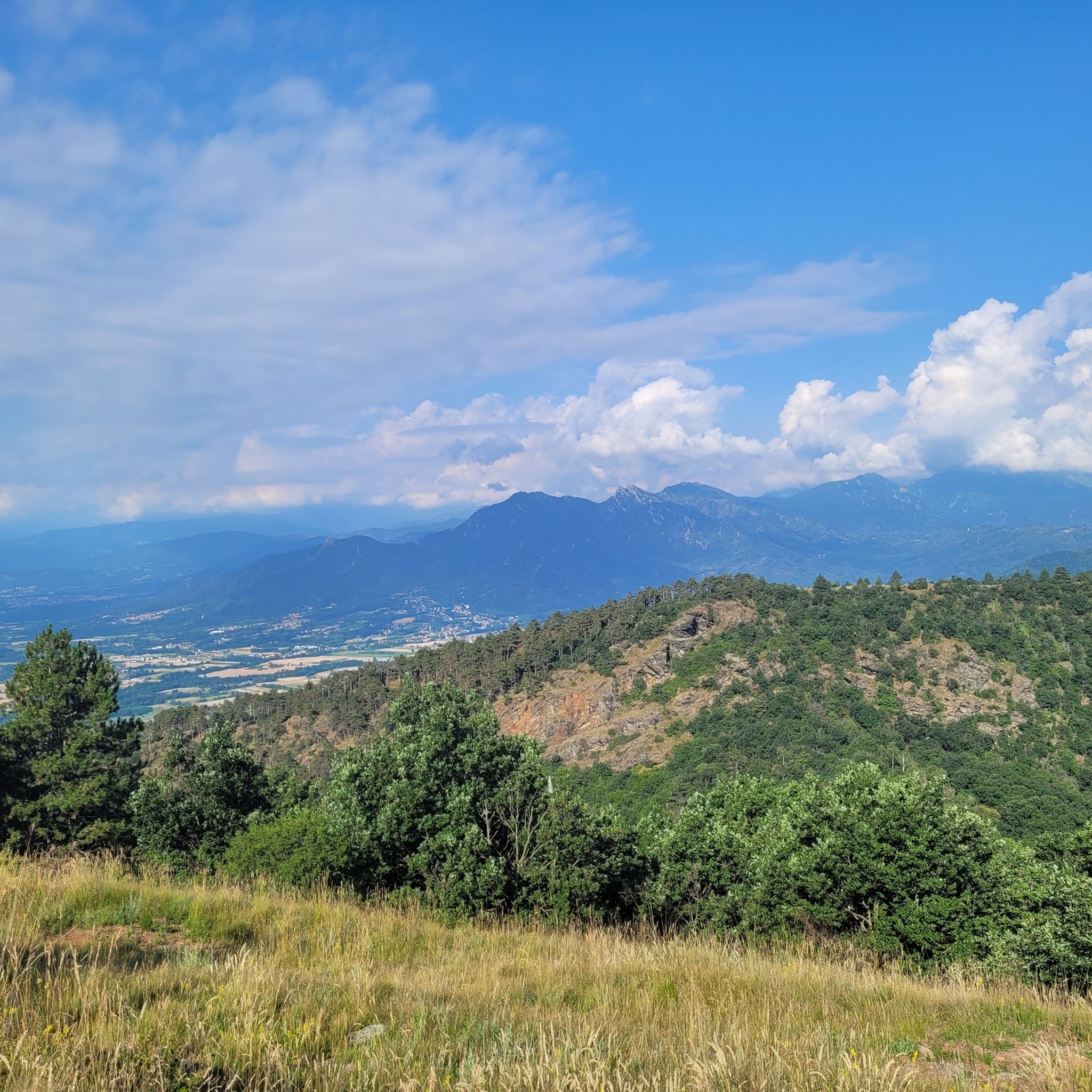
Hiking around Parco Naturale del Monte Tre Denti - Freidour
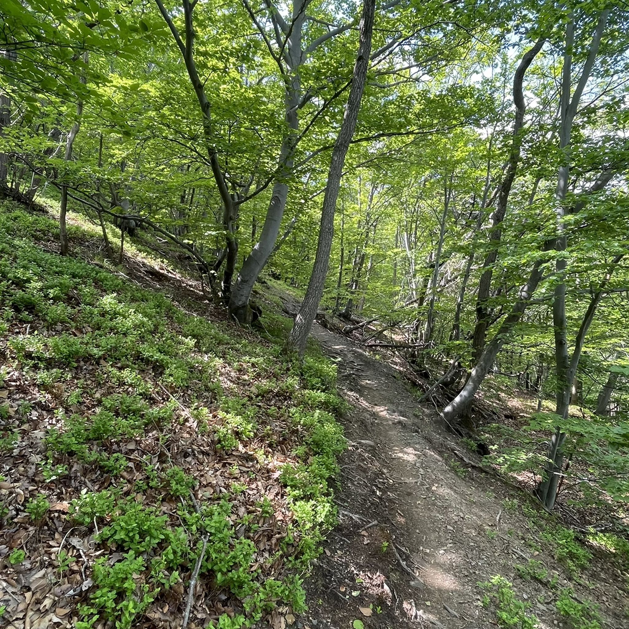
MTB Trails around Parco Naturale del Monte Tre Denti - Freidour
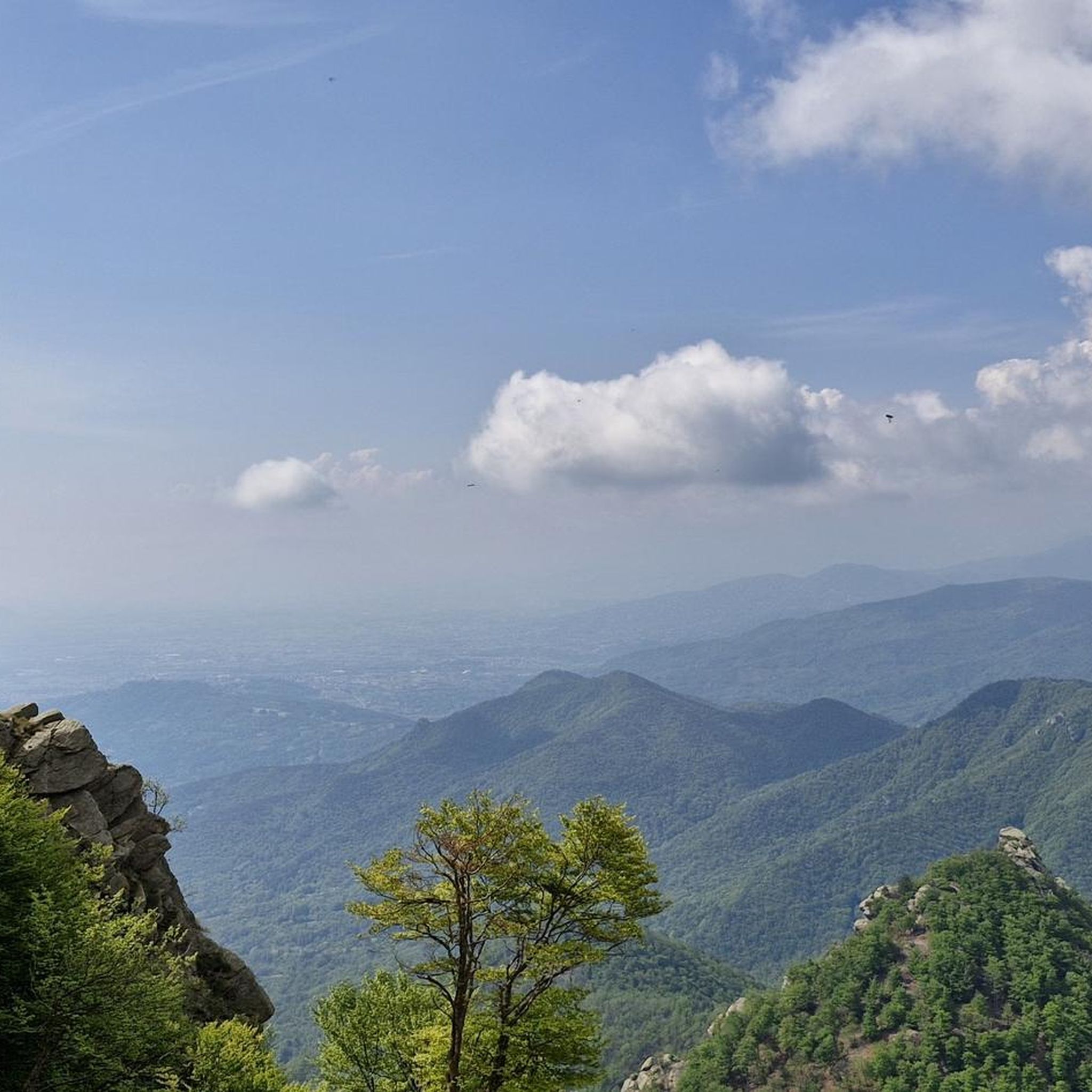
Cycling around Parco Naturale del Monte Tre Denti - Freidour
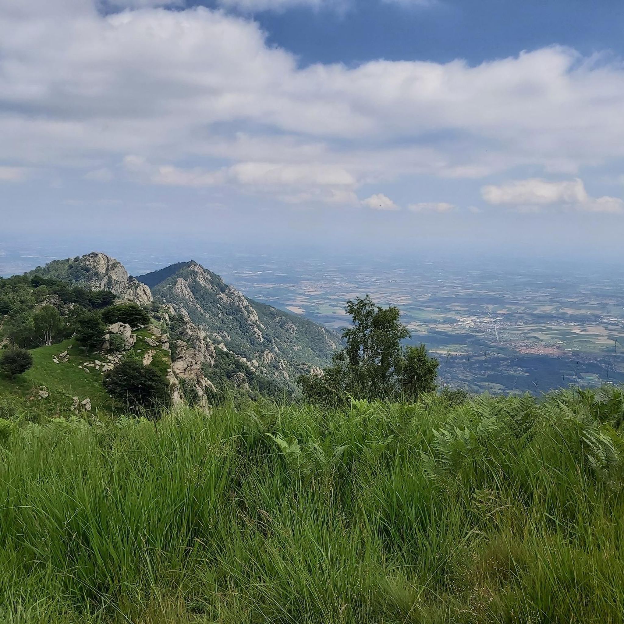
Running Trails around Parco Naturale del Monte Tre Denti - Freidour
Gravel biking around Parco Naturale del Monte Tre Denti - Freidour
Mountain Hikes around Parco Naturale del Monte Tre Denti - Freidour
Tips from the Community

Faro della Libertà, a 15-meter high stone tower designed by architects Gabetti and Isola in 1967, in memory of the 600 partisans who fell in Pinerolese: from here the panorama ranges 360° over the western Alps and the Pinerolese plain, with the unmistakable silhouette of the Rocca di Cavour.
0
0

After the demanding climb of Via Massina, with its more than respectable ramps, the arrival in Prarostino finally offers some respite. From here, the view stretches over the plain below, amply rewarding the effort of the last few hundred meters of elevation gain.
0
0

Classic climb, not very long but quite impactful. It gives satisfaction in all seasons.
0
0
Ancient Romanesque church with a peculiarity: in the 19th century it was "turned", and the old apse became the new facade - hence the fact of having the bell tower next to the facade instead of at the back of the church. On the old facade (now apse) traces of the original frescoes are still noticeable. Table and picnic benches on the Pinerolo side for a peaceful break.
1
0
Very old Romanesque church, with a peculiarity: in the 19th century the church was "turned around", the apse became the facade and vice versa - hence the anomaly of the bell tower next to the facade, when normally it is behind. On the old facade, traces of the original frescoes can still be seen. Next to the little church, on the side towards Pinerolo, a table and benches for a quiet break. Located right on the Bruino-Pinerolo cycle path, very convenient to reach, a beautiful destination for a quiet little ride.
0
0
A large pair of boulders, likely part of the rock massif itself and not erratic, are quite spectacular in their own right, offering a beautiful view of the valley below. Behind the boulders (on the side opposite the road) is a small dry-stone shelter, which can be useful in bad weather. They're located right on the roadside, so you can't miss them!
0
0
The climb to Verna is a bit easier, yet offers a stunning view of the valley below. After kilometers of grueling climb, it's a bit like entering paradise.
0
0

Frequently Asked Questions
What is the general difficulty level of road cycling routes in Parco Naturale del Monte Tre Denti - Freidour?
The region is known for its significant elevation changes, offering a mix of moderate and challenging routes. You'll find demanding ascents and rolling hills, with 77 moderate and 20 difficult routes available for road cyclists.
Are there any beginner-friendly road cycling routes in the area?
Yes, despite the challenging terrain, there are 24 easy road cycling routes suitable for beginners. These routes typically feature less elevation gain and can be a great way to explore the natural park at a more relaxed pace.
What kind of scenery can I expect while road cycling in Parco Naturale del Monte Tre Denti - Freidour?
Road cycling routes here often wind through forested areas and offer panoramic views of the surrounding landscape, which is part of the Cottian Alps foothills. You'll experience natural parkland and varied terrain.
What are some notable natural attractions or landmarks I can see along the road cycling routes?
While cycling, you might encounter several natural monuments and peaks. Highlights include the Monte Sette Confini and Monte Brunello Summit. You can also find the Fontana Pieu and Source of the Chisola Stream.
Are there any cultural or historical points of interest near the road cycling paths?
Yes, the area features some historical and religious sites. Cyclists can visit the Monte Freidour RAF Memorial, or the Madonna della Neve Chapel (Monte Tre Denti) and the Chapel of Monte Tre Denti.
What is the best time of year to go road cycling in Parco Naturale del Monte Tre Denti - Freidour?
The best time for road cycling in this region is typically from late spring to early autumn (May to October), when the weather is generally mild and the mountain passes are clear of snow. Always check local weather forecasts before heading out.
What do other road cyclists say about the routes in Parco Naturale del Monte Tre Denti - Freidour?
The routes are highly rated by the komoot community, with an average score of 4.4 stars from over 230 reviews. Cyclists often praise the challenging climbs, scenic countryside, and varied terrain that makes for engaging rides.
Are there any long-distance road cycling routes with moderate difficulty?
Yes, for a moderate challenge, consider the Piossasco–Pinerolo Cycle Path – San Secondo di Pinerolo loop from Cumiana. It covers 47.1 km with an elevation gain of 551 meters, offering a good balance of distance and climb.
Where can I find a relatively flat road cycling route for a longer ride?
For a longer ride with minimal elevation, the Piossasco–Pinerolo Cycle Path – SMAT Water Point loop from Cumiana is a great option. This route spans 51.3 km with only 180 meters of elevation gain, making it one of the flatter long-distance choices.
What should I bring for a road cycling trip in this region?
Given the significant elevation changes and varied terrain, it's advisable to bring appropriate gear including a well-maintained road bike, helmet, sufficient water, snacks, repair kit, and layers of clothing to adapt to changing weather conditions. A GPS device or the komoot app is also recommended for navigation.
Are there any challenging climbs for experienced road cyclists?
Absolutely. Experienced cyclists seeking demanding ascents can tackle routes like the Colletta di Cumiana – Colle Braida Pass loop from Moncalarda, which features over 1260 meters of elevation gain over 42.8 km, or the Colletta di Cumiana – Climb of La Verna in Cumiana loop from Cumiana with similar challenging climbs.
How many road cycling routes are available in Parco Naturale del Monte Tre Denti - Freidour?
There are over 120 road cycling routes available in the Parco Naturale del Monte Tre Denti - Freidour region, offering a wide variety of options for different skill levels and preferences.
Most popular routes around Parco Naturale del Monte Tre Denti - Freidour
Most popular attractions around Parco Naturale del Monte Tre Denti - Freidour

Get inspired with the komoot mobile app


Explore more
Browse the best Road cycling routes in other regions.
