The best road cycling routes around Parco regionale Campo dei Fiori
4.3
(951)
29,694
riders
225
rides
Road cycling routes around Parco regionale Campo dei Fiori traverse the Varese Prealps in Lombardy, Italy, offering varied terrain for cyclists. The region is characterized by two major massifs, Campo dei Fiori and Martica, separated by the Rasa Valley, which create routes with significant ascents and descents. Diverse forests, including chestnuts and beeches, cover the slopes, while lakes such as Ganna and Brinzio add to the scenic environment. The highest point, Punta di Mezzo, reaches 1,227 meters above sea level.
…Last updated: September 29, 2026
4.8
(5)
90
riders
74.0km
04:38
2,110m
2,110m
Hard road ride. Very good fitness required. Mostly well-paved surfaces and easy to ride.
5.0
(2)
58
riders
68.7km
04:03
1,690m
1,690m
Hard road ride. Very good fitness required. Mostly well-paved surfaces and easy to ride.

4.3
(36)
659
riders
56.2km
02:30
500m
500m
Moderate road ride. Good fitness required. Mostly well-paved surfaces and easy to ride.
4.3
(12)
297
riders
55.7km
02:29
490m
490m
Moderate road ride. Good fitness required. Mostly well-paved surfaces and easy to ride.
3.2
(30)
275
riders
46.3km
01:59
320m
320m
Moderate road ride. Good fitness required. Mostly well-paved surfaces and easy to ride.
Get access to more routes and recommendations from other explorers.
Already have an account?
Our route recommendations are based on thousands of hikes, rides, and runs completed by other people on komoot.
Start today with a free account
Your next adventure awaits.
Popular around Parco regionale Campo dei Fiori

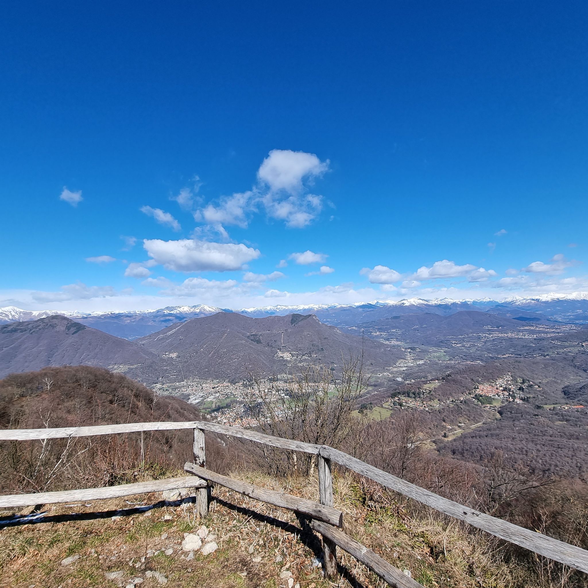
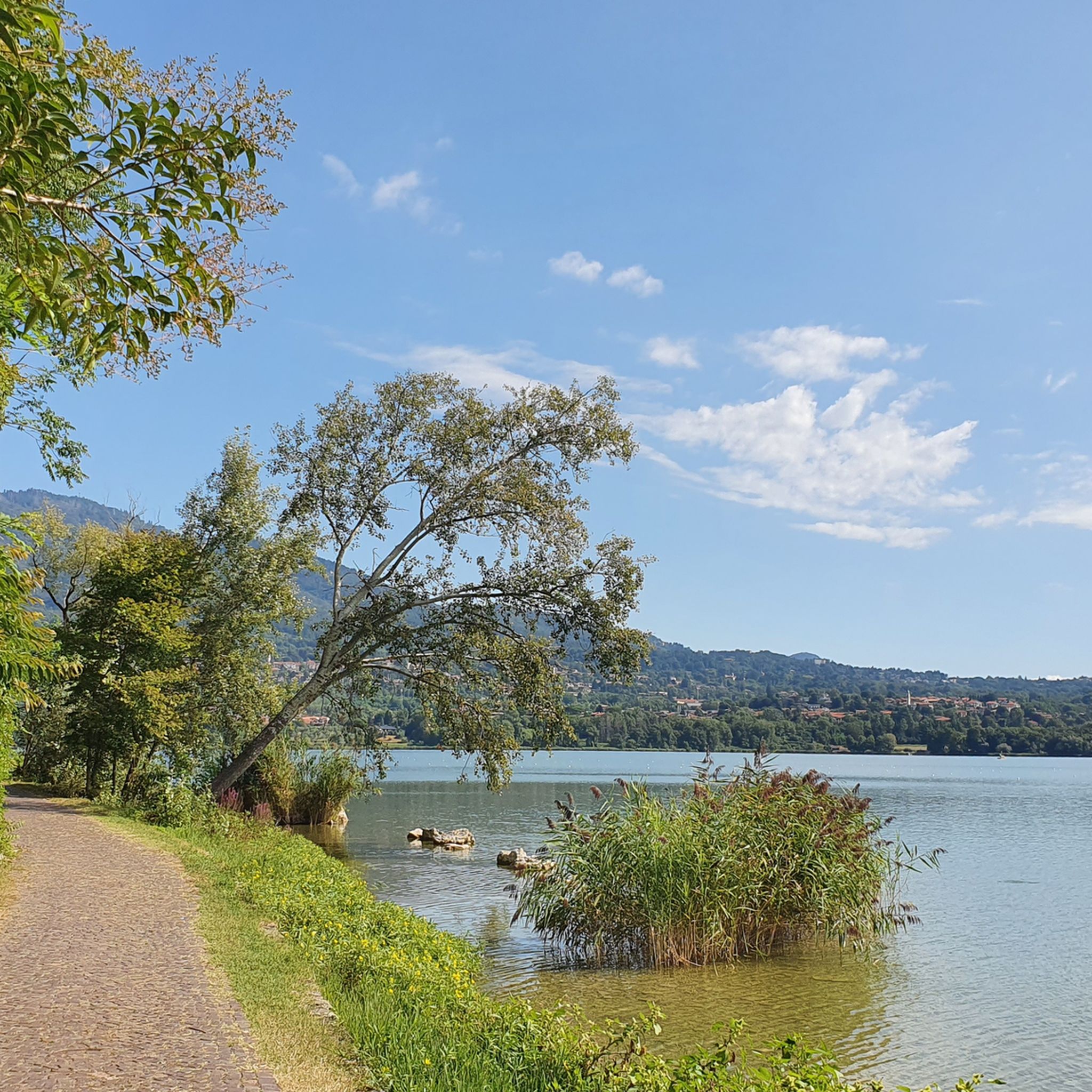
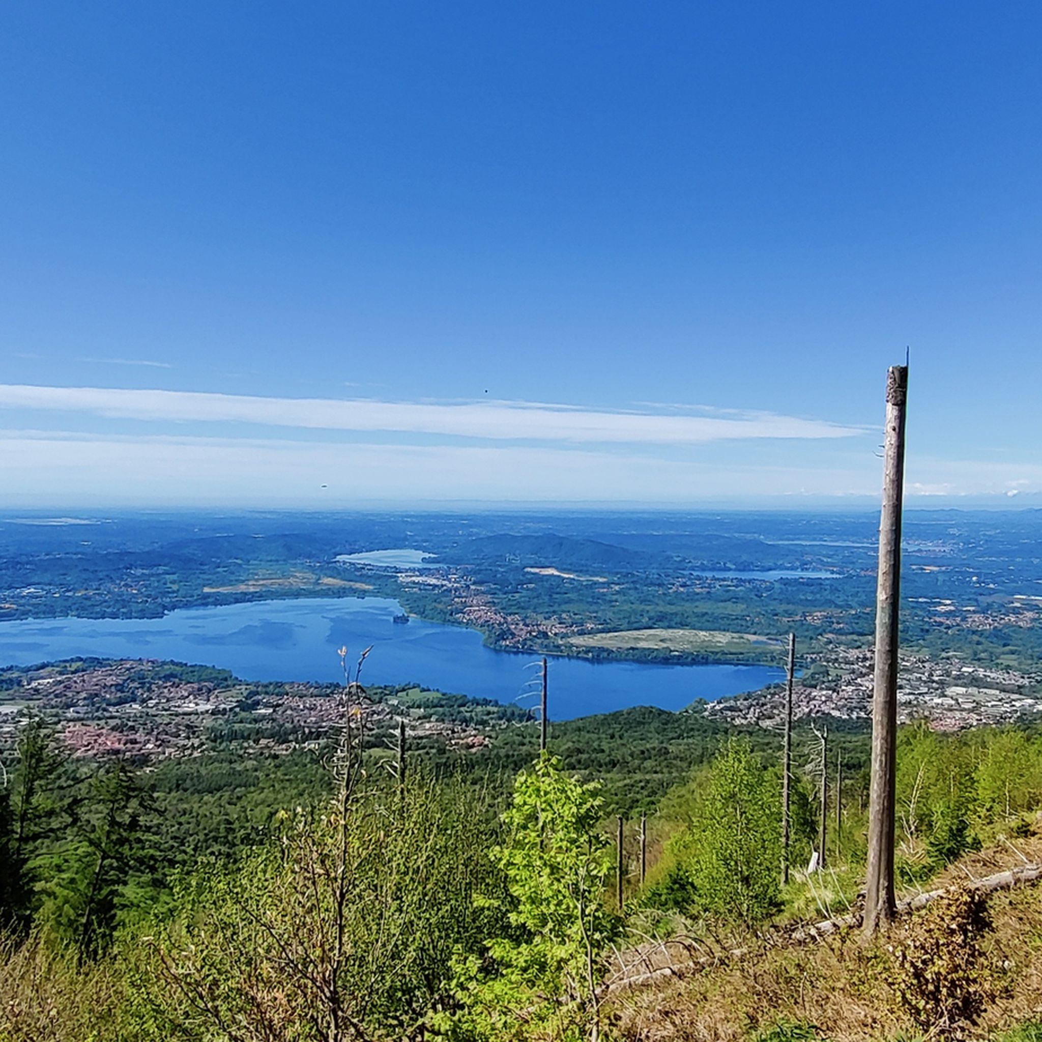
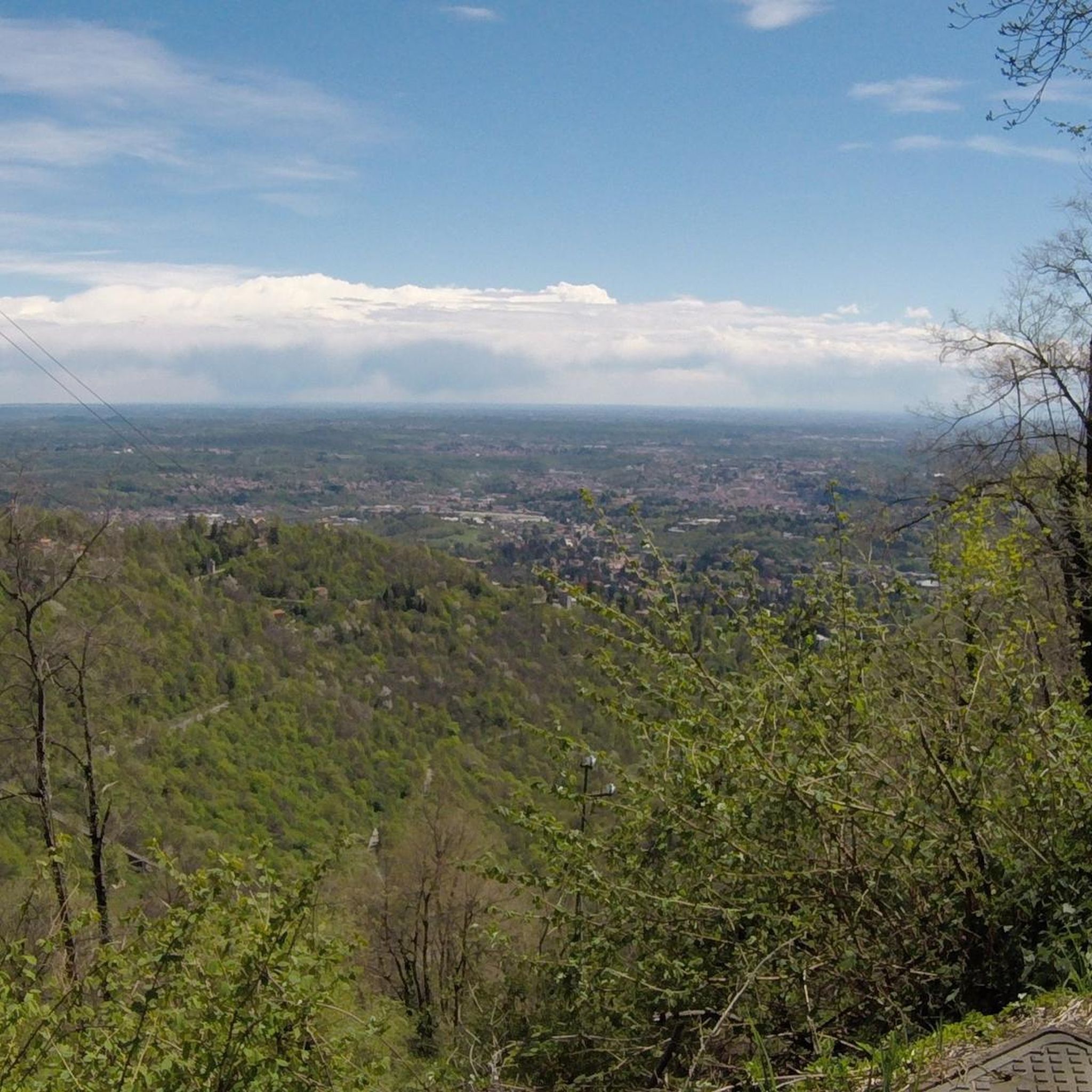

Other adventures around Parco regionale Campo dei Fiori

Tips from the Community

Passo S. Antonio Vararo / Cuvignone 1,036 m Passage at 1,036 meters above sea level From the South: Cittiglio to the North: Porto Valtravaglia About 200 hairpin bends on asphalt Strada Provinciale 8 https://stradedamoto.it/strade.asp?RicPas=4281
10
0
Passo del Monte Cuvignone Via Vararo, Cittiglio / Castelveccana VA The Cuvignone Pass (1,036 m above sea level) is a pass near Vararo, in the Varese area between Valcuvia and Luinese. In cycling, it is known for its demanding climb, which can be tackled from various sides (directly from Cittiglio or Castelveccana, or indirectly after climbing Sant'Antonio or crossing the San Michele Pass). It has been used for training since the time of Alfredo Binda (originally from the area) and offers particularly technical and demanding descents. Ivan Basso also trained there. The pass is also famous in the automotive world, as it has been the most selective timed section of the "ACI Varese Rally" since the 80s, today the "Rally dei Laghi". Even in motorsport, as in cycling, it has been tackled in all directions, and in all directions it has always stood out for its difficulty, consisting of fast sections, others slower but very technical, narrow hairpin bends uphill and downhill – all over a length of about 12/14 km at the discretion of the organizer. Text / Source: wikipedia.org/wiki/Passo_del_Cuvignone https://it.wikipedia.org/wiki/Passo_del_Cuvignone
10
0

Nice place for walking and to take the ferry.
0
0
Laveno-Mombello on Lake Maggiore A remarkable municipality on the eastern shore of Lake Maggiore, Laveno-Mombello, with its kilometer-long promenade, is located on the lake's only natural harbor. In this vacation paradise, you have arrived in Lombardy. Set your sights on the place where the Torrente Boesia flows into Lake Maggiore. Laveno-Mombello may be home to few major attractions, but this small town is nevertheless particularly charming. Let your gaze wander over the central part of Lake Maggiore, to the Borromean Islands, the Pennine Alps, and the Monte Rosa massif. Breathe in the historic atmosphere. Laveno played an important role in Lake Maggiore's past. Text / Source: Lagomaggiore.de https://www.lagomaggiore.de/staedte/laveno-mombello
14
0

Beautiful bathing area
0
0

always push even with a loaded bike
0
0

a classic from the Varese area. It's worth it.
2
0
Frequently Asked Questions
How many road cycling routes are available in Parco regionale Campo dei Fiori?
There are over 250 road cycling routes in Parco regionale Campo dei Fiori, offering a wide range of options for different skill levels. This includes 46 easy routes, 140 moderate routes, and 65 difficult routes.
What kind of terrain can I expect on road cycling routes in Parco regionale Campo dei Fiori?
The terrain in Parco regionale Campo dei Fiori is diverse, characterized by the Campo dei Fiori and Martica massifs, separated by the Rasa Valley. This means you'll encounter varied routes with significant ascents and descents, as well as scenic rides through diverse forests and along lakes like Ganna and Brinzio.
Are there road cycling routes suitable for beginners in the park?
Yes, Parco regionale Campo dei Fiori offers 46 easy road cycling routes. These routes typically feature less elevation gain and cover shorter distances, making them ideal for those new to road cycling or looking for a more relaxed ride.
What are the options for experienced road cyclists seeking a challenge?
Experienced road cyclists will find plenty of challenging options, with 65 difficult routes available. Routes like Cuvignone and Sette Termini and San Martino and San Michele feature substantial elevation gain and demanding climbs, traversing the region's mountainous terrain.
Are there any loop road cycling routes in Parco regionale Campo dei Fiori?
Yes, many road cycling routes in the area are designed as loops, allowing you to start and end in the same location. An example is the Luino town centre and lakeside – Laveno-Mombello Waterfront loop from Gavirate, which offers a scenic ride along the waterfront.
What natural features can I see while road cycling in Parco regionale Campo dei Fiori?
The park is rich in natural beauty. You can cycle past diverse forests of chestnuts and beeches, alongside serene lakes such as Lake Ganna and Brinzio Pond. The region also features unique karst phenomena, including over 130 caves and natural monuments like the "Fonte del Ceppo".
Are there any historical landmarks or cultural sites accessible by road bike?
Yes, the park is home to significant cultural and historical sites. You can cycle towards the UNESCO World Heritage site of Sacro Monte di Varese, which includes a sanctuary and village. Other historical structures include the 15th-century Rocca di Orino and the 11th-12th century Velate Tower.
Where can I find panoramic views along the road cycling routes?
For breathtaking panoramic views, consider routes that ascend towards higher points. The highest point, Punta di Mezzo (1,227 meters), offers expansive views of the Lombard plain and the distant Alpine chain. The G.V. Schiaparelli Observatory also provides stunning vistas of Lake Maggiore and the Alps.
What is the best time of year for road cycling in Parco regionale Campo dei Fiori?
The spring and autumn months generally offer the most pleasant conditions for road cycling, with milder temperatures and beautiful scenery as the foliage changes. Summer can also be enjoyable, especially for routes that offer shade from the diverse forests or pass by lakes.
What do other road cyclists enjoy the most about road cycling in Parco regionale Campo dei Fiori?
The area is highly rated by the komoot community, with an average score of 4.4 stars from over 950 reviews. Cyclists often praise the varied terrain, from challenging climbs to scenic lakeside rides, and the beautiful natural landscapes including diverse forests and serene lakes.
Are there any waterfalls or wild swimming spots near the road cycling routes?
While primarily known for its cycling, the region does feature natural water elements. You can find Valganna Waterfalls and Caves within the park. For wild swimming, the various lakes and ponds like Lake Ganna and Brinzio Pond offer opportunities to cool off, though specific designated swimming spots should be checked locally.
Are there any road cycling routes that are particularly family-friendly?
While many routes involve significant elevation, some of the easier and moderate routes, particularly those along the lakefronts, can be more suitable for families. For instance, the Lake Varese Loop – Lake Varese loop from Gavirate offers a more gentle ride around the lake.
Most popular routes around Parco regionale Campo dei Fiori
Most popular attractions around Parco regionale Campo dei Fiori

Get inspired with the komoot mobile app


Explore more
Browse the best Road cycling routes in other regions.
