The best walks and hikes around Navaleno
4.8
(77)
575
hikers
30
hikes
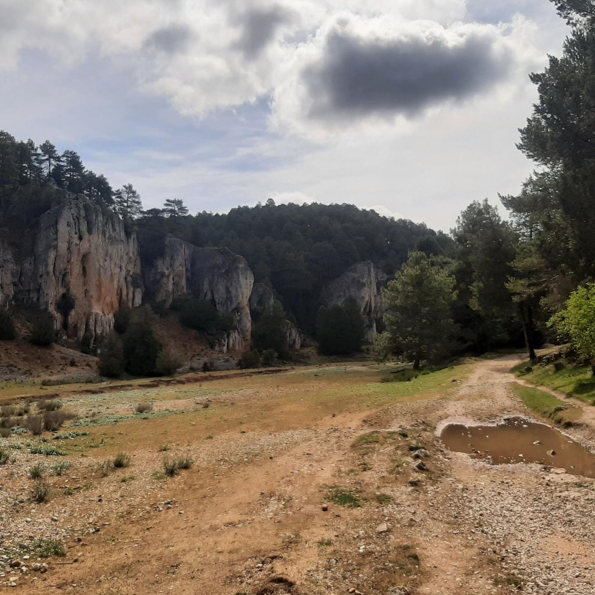
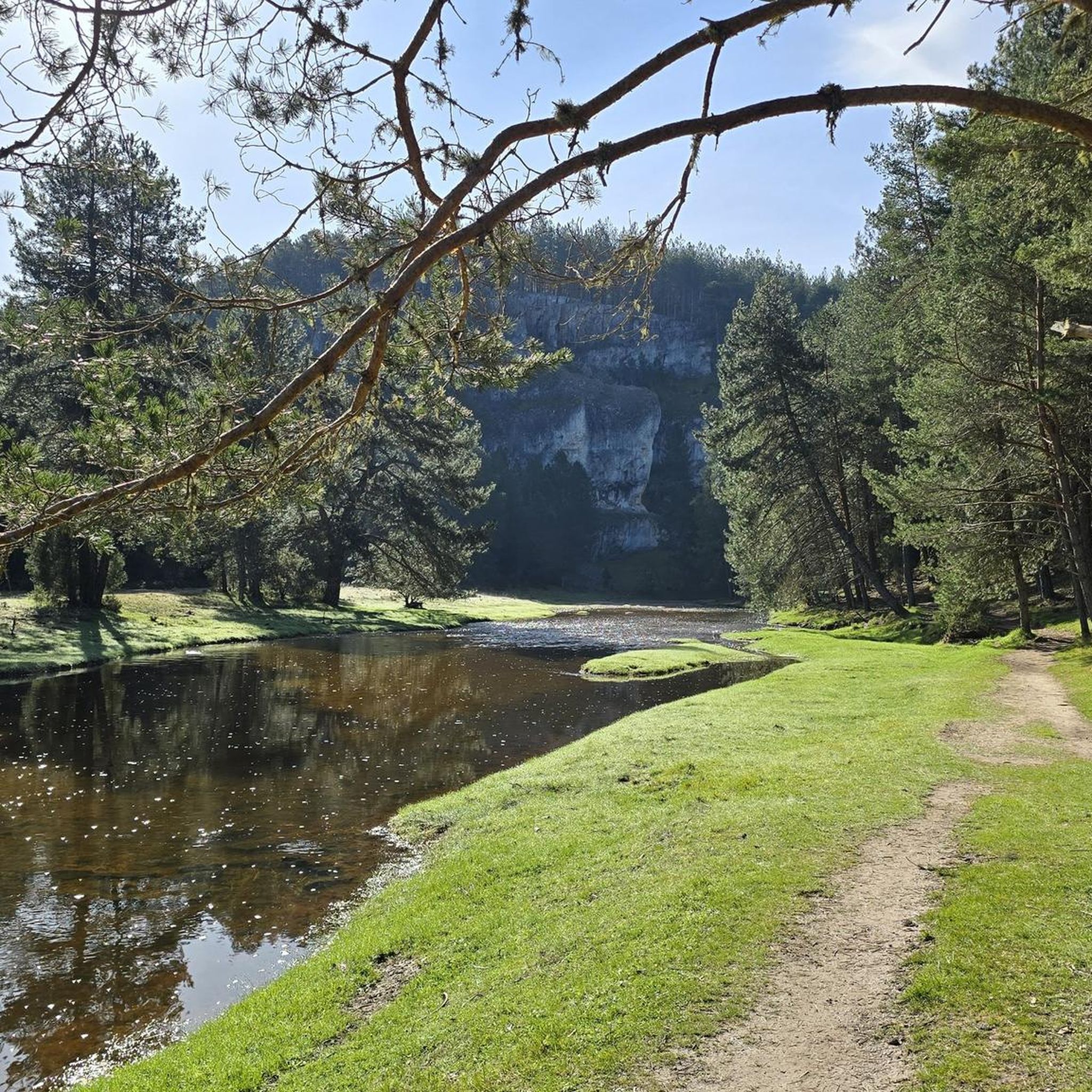
Hiking around Navaleno offers access to the natural landscapes of Soria, characterized by extensive pine forests and river canyons. The region features varied terrain, including the notable Cañón del Río Lobos Natural Park. Elevation changes are generally moderate, providing accessible routes for different skill levels. The area is defined by its natural beauty and opportunities for outdoor exploration.
Best hiking trails around Navaleno
- The most popular hiking route is Cañón de Casarejos y Cañón del río Lobos – circular desde…
Last updated: October 26, 2026
4.0
(6)
12
hikers
Moderate hike. Good fitness required. Mostly walkable paths. Sure-footedness required.
5.0
(1)
5
hikers
8.22km
02:19
180m
180m
Moderate hike. Good fitness required. Easily walkable paths.

5.0
(1)
5
hikers
10.9km
03:08
260m
260m
Moderate hike. Good fitness required. Easily walkable paths.
3
hikers
7.33km
02:02
130m
130m
Moderate hike. Good fitness required. Easily walkable paths.
2
hikers
4.30km
01:12
80m
80m
Easy hike. Easily walkable paths.
Get access to more routes and recommendations from other explorers.
Already have an account?
Our route recommendations are based on thousands of hikes, rides, and runs completed by other people on komoot.
Start today with a free account
Your next adventure awaits.

Tips from the Community

The Hermitage of San Bartolomé is a fascinating church located in the Cañón del Río Lobos Natural Park, in the communities of Herrera de Soria, Nafría de Ucero, and Ucero. Built in the first quarter of the 13th century, in a style that transitions from Romanesque to Gothic.
4
0

Nice area for outdoor activities.
0
0
The LOBOS River canyon is worth visiting
0
0
The large cave, a large cavity in an idyllic landscape, which is the surroundings of the hermitage of San Bartolomé
0
1
One of the highest places, with impressive views.
0
0
A super comfortable place to spend the night if you're doing the GR 86. There's nothing, not even a fireplace to make a fire. Very clean and well maintained.
0
0

Remarkable 13th-century hermitage with transitional Romanesque architecture and Arabic influences in its two rose windows. The best thing is its location, in a beautiful spot at the southern end of the Río Lobos Gorge. The parking lot is one kilometer away and the path to the hermitage is easy and pleasant, flat, along the Lobos River
1
0
Impressive cave created by nature over millions of years
1
0
Frequently Asked Questions
How many hiking trails are available in Navaleno?
Navaleno offers a diverse network of over 15 hiking trails. These routes vary in difficulty, providing options for different skill levels, from easy strolls to more challenging expeditions through the region's pine forests and river canyons.
Are there easy hiking trails suitable for beginners in Navaleno?
Yes, Navaleno has several easy hiking trails perfect for beginners or those looking for a relaxed walk. There are 6 easy routes available, such as the Bridge of the Seven Eyes – Boca del Ocejo loop from Parque Natural del Cañón del Río Lobos, which is about 4 miles (6.5 km) long and takes around 2 hours to complete.
Does Navaleno offer circular hiking routes?
Yes, many of the trails around Navaleno are circular, allowing you to start and end at the same point. A popular option is the Cañón de Casarejos y Cañón del río Lobos – circular desde Casarejos por el barranco de la Calzada, a moderate 8.9-mile (14.4 km) route exploring the canyons.
What natural attractions or landmarks can I see while hiking around Navaleno?
The trails around Navaleno lead to several notable natural attractions and landmarks. You can explore the stunning Cañón del Río Lobos Natural Park, visit the Cabeza Alta Viewpoint for panoramic views, or discover the serene El Pozo Perín. The Bridge of the Seven Eyes is another interesting spot.
Are there family-friendly hiking options in Navaleno?
Navaleno's varied terrain includes routes suitable for families. The generally moderate elevation changes and well-maintained paths make it possible to find trails that are enjoyable for all ages. Look for shorter, easy-rated routes for a pleasant family outing.
Can I bring my dog on the hiking trails in Navaleno?
Generally, dogs are welcome on most hiking trails in the Navaleno area, especially within the natural landscapes of Soria. However, it's always recommended to keep them on a leash, especially in protected areas like the Cañón del Río Lobos Natural Park, and to respect local regulations regarding pets.
What is the best time of year to go hiking in Navaleno?
The best time to hike in Navaleno is typically during spring (April to June) and autumn (September to October). During these seasons, the weather is mild, and the natural scenery, with its extensive pine forests, is particularly beautiful. Summer can also be pleasant, especially in the mornings or late afternoons, though it can get warm.
Is winter hiking possible in Navaleno?
Winter hiking in Navaleno is possible, but conditions can vary. The region may experience snow and colder temperatures, especially at higher elevations. If planning a winter hike, it's essential to check weather forecasts, wear appropriate gear, and choose well-maintained trails. Some routes might be less accessible due to snow or ice.
Are there places to eat or have a pub lunch near the hiking trails?
While specific pub lunches directly on every trailhead are not guaranteed, the town of Navaleno itself, and nearby settlements like San Leonardo de Yagüe, offer various dining options where you can enjoy a meal after your hike. It's a good idea to plan your route to pass through or end near these villages.
What do other hikers say about the trails in Navaleno?
The hiking trails in Navaleno are highly rated by the komoot community, with an average score of 4.8 stars from over 45 reviews. Hikers often praise the region's beautiful pine forests, the impressive river canyons, and the variety of routes suitable for different abilities. Many appreciate the natural beauty and opportunities for outdoor exploration.
Is parking available at the trailheads around Navaleno?
Parking is generally available at or near the main trailheads and popular starting points for hikes around Navaleno, especially in areas like the Cañón del Río Lobos Natural Park or near villages. It's advisable to check specific route descriptions or local signage for designated parking areas.
Are there any longer, more challenging hikes in the Navaleno area?
Yes, for those seeking a greater challenge, Navaleno offers more demanding routes. An example is the Fuente de los Agualinos – Footbridge over the Río Lobos loop from San Leonardo de Yagüe, a difficult 14.2-mile (22.9 km) trail that takes approximately 6 hours to complete, featuring significant elevation changes and extensive distances.
Most popular attractions around Navaleno

Get inspired with the komoot mobile app


Explore more
Browse the best Hikes in other regions.
