The best road cycling routes around Δρυμός Αίνου
4.5
(28)
720
riders
32
rides
Road cycling routes around Δρυμός Αίνου traverse the unique landscape of Mount Aenos National Park on Kefalonia, characterized by the endemic Cephalonian Fir forest and diverse Mediterranean ecosystems. The region features a well-maintained road network, including asphalt roads that ascend towards the "Chionistra" peak. Mount Aenos, the highest point in the Ionian Islands at 1,628 meters, provides significant elevation challenges and panoramic views. This area offers varied terrains suitable for road cyclists seeking both moderate and difficult climbs.
Best road cycling routes around Δρυμός Αίνου
- The most popular road cycling route is Bell Tower of Our Lady Fidousa – Poros loop from Lourdata, a 36.9 miles (59.4 km) trail that takes 2 hours 51 minutes to complete. This moderate route offers a scenic loop through the region.
- Another top favourite among local road cyclists is De Bosset Bridge – View of Kefalonia loop from Lourdata, a moderate 29.5 miles (47.5 km) path. This route provides views of Kefalonia and passes by the historic De Bosset Bridge.
- Local road cyclists also love the View of Myrtos Beach – De Bosset Bridge loop from Drogarati Cave, a 41.8 miles (67.2 km) trail leading through varied terrain, often completed in about 3 hours 34 minutes.
- Road cycling around Δρυμός Αίνου is defined by the Cephalonian Fir forest, the high elevations of Mount Aenos, and panoramic views of the Ionian Sea. The network offers options for different ability levels, from moderate loops to challenging climbs.
- The routes in Δρυμός Αίνου are highly rated by the komoot community with an average score of 4.5 from over 27 reviews. More than 700 road cyclists have used komoot to explore Δρυμός Αίνου's varied terrain.
Last updated: July 5, 2026
4.4
(5)
57
riders
59.4km
02:51
810m
810m
Moderate road ride. Good fitness required. Mostly well-paved surfaces and easy to ride.
4.5
(4)
52
riders
47.4km
02:15
570m
570m
Moderate road ride. Good fitness required. Mostly well-paved surfaces and easy to ride.

Sign up for free
29
riders
67.2km
03:34
1,290m
1,290m
Hard road ride. Very good fitness required. Mostly well-paved surfaces and easy to ride.
3.0
(1)
24
riders
75.2km
04:39
2,020m
2,020m
Hard road ride. Very good fitness required. Mostly well-paved surfaces and easy to ride.
4.0
(2)
12
riders
50.6km
03:19
1,410m
1,410m
Hard road ride. Very good fitness required. Some segments of this route may be unpaved and difficult to ride.
Get access to more routes and recommendations from other explorers.
Sign up for free
Already have an account?
Our route recommendations are based on thousands of hikes, rides, and runs completed by other people on komoot.
Start today with a free account
Your next adventure awaits.
Login or Signup
Tips from the Community

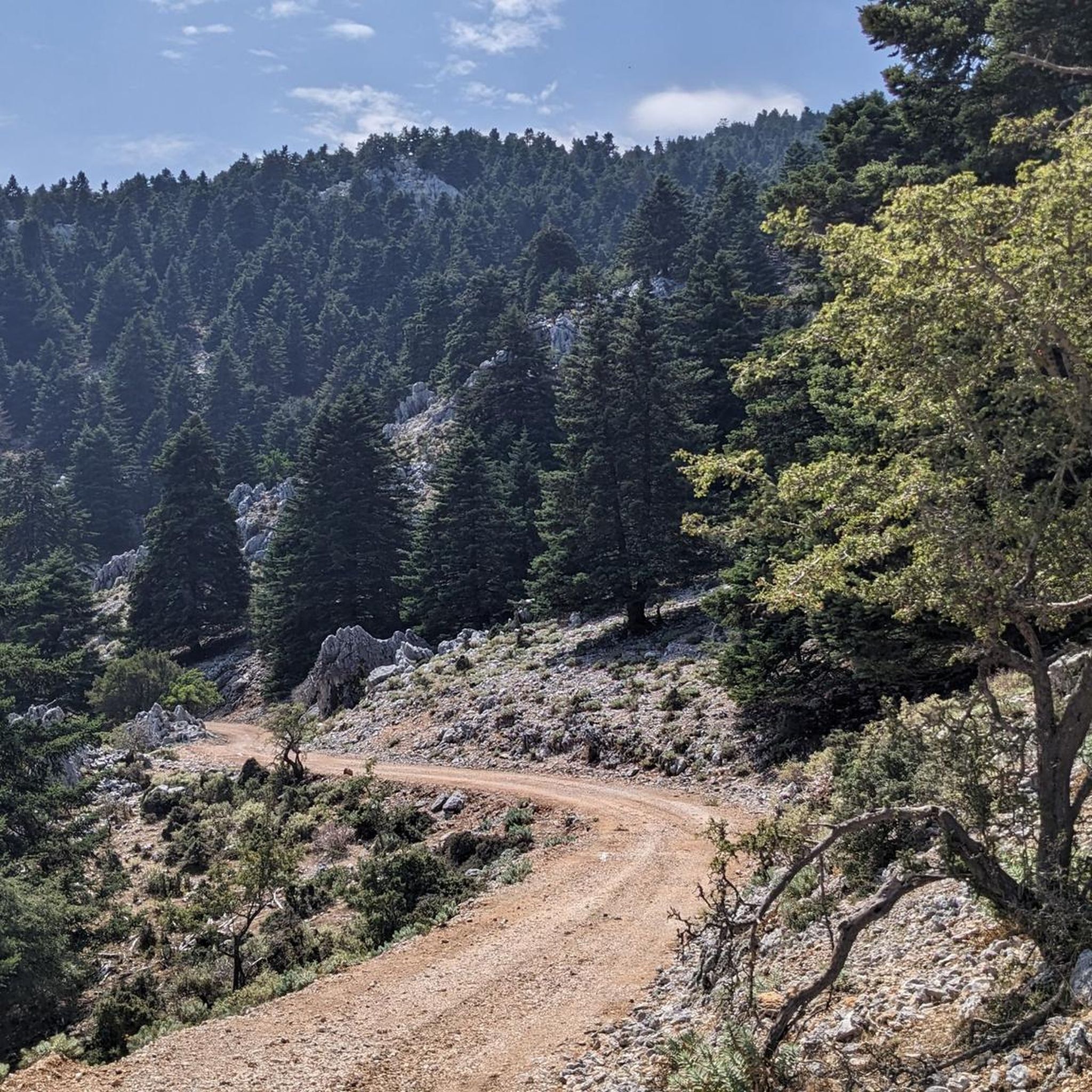
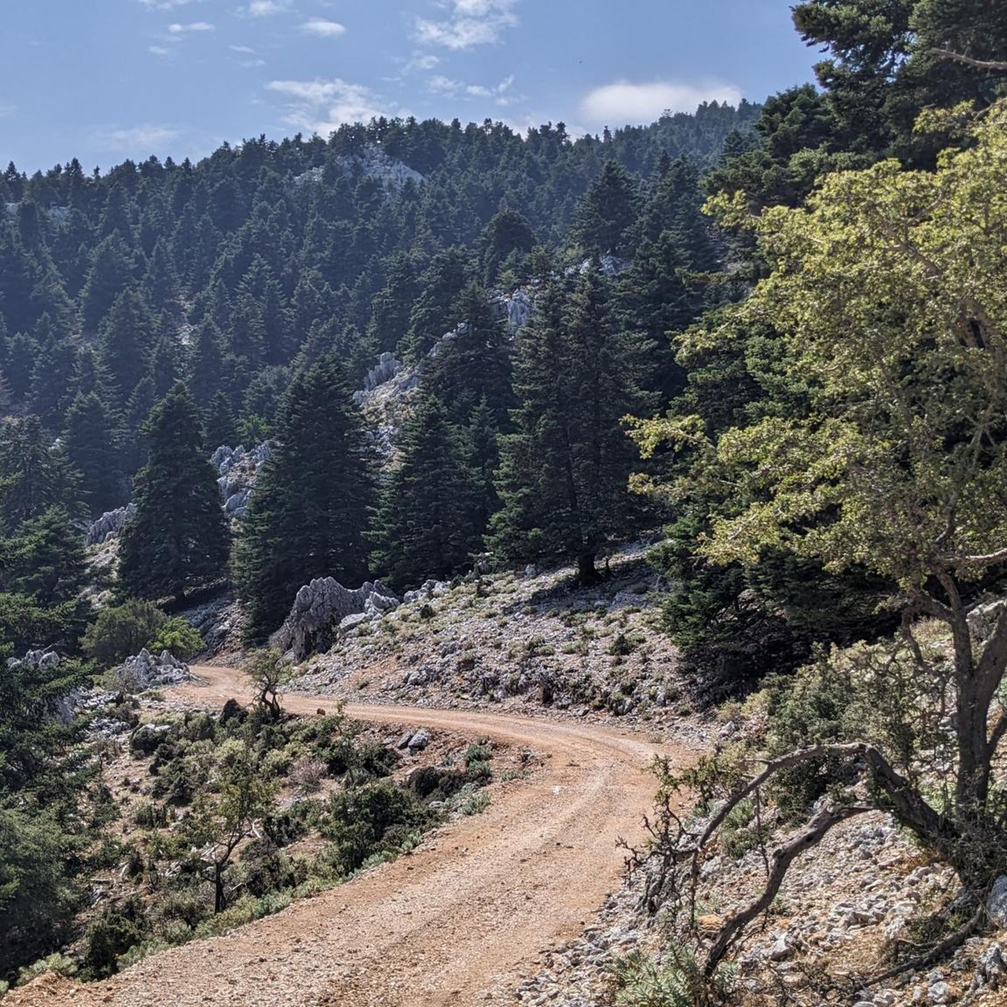
Brilliant and testing climb. A must do! In the summer would advise going early (as the sun rises) as you’ll be sheltered from the sun by the peaks as you climb. Take plenty of water, there are no places to top up on the climb. Most of the road surfaces are very good, just watch out for a couple of rougher sections and some gravel at the edge of the road.
0
0

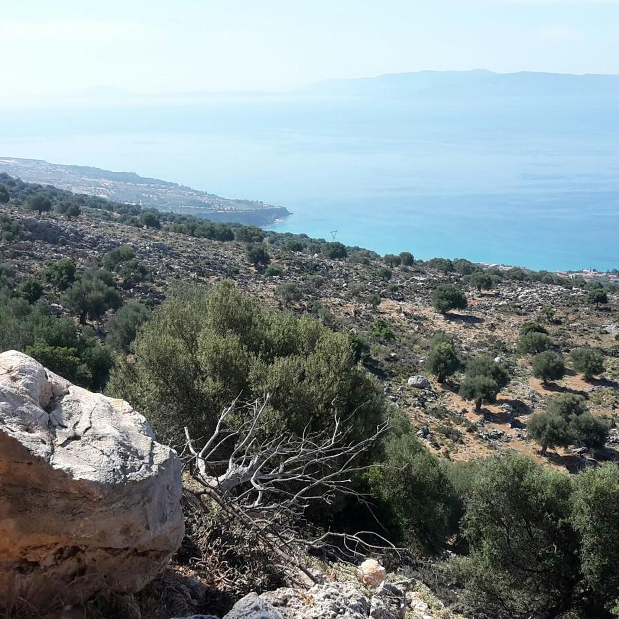
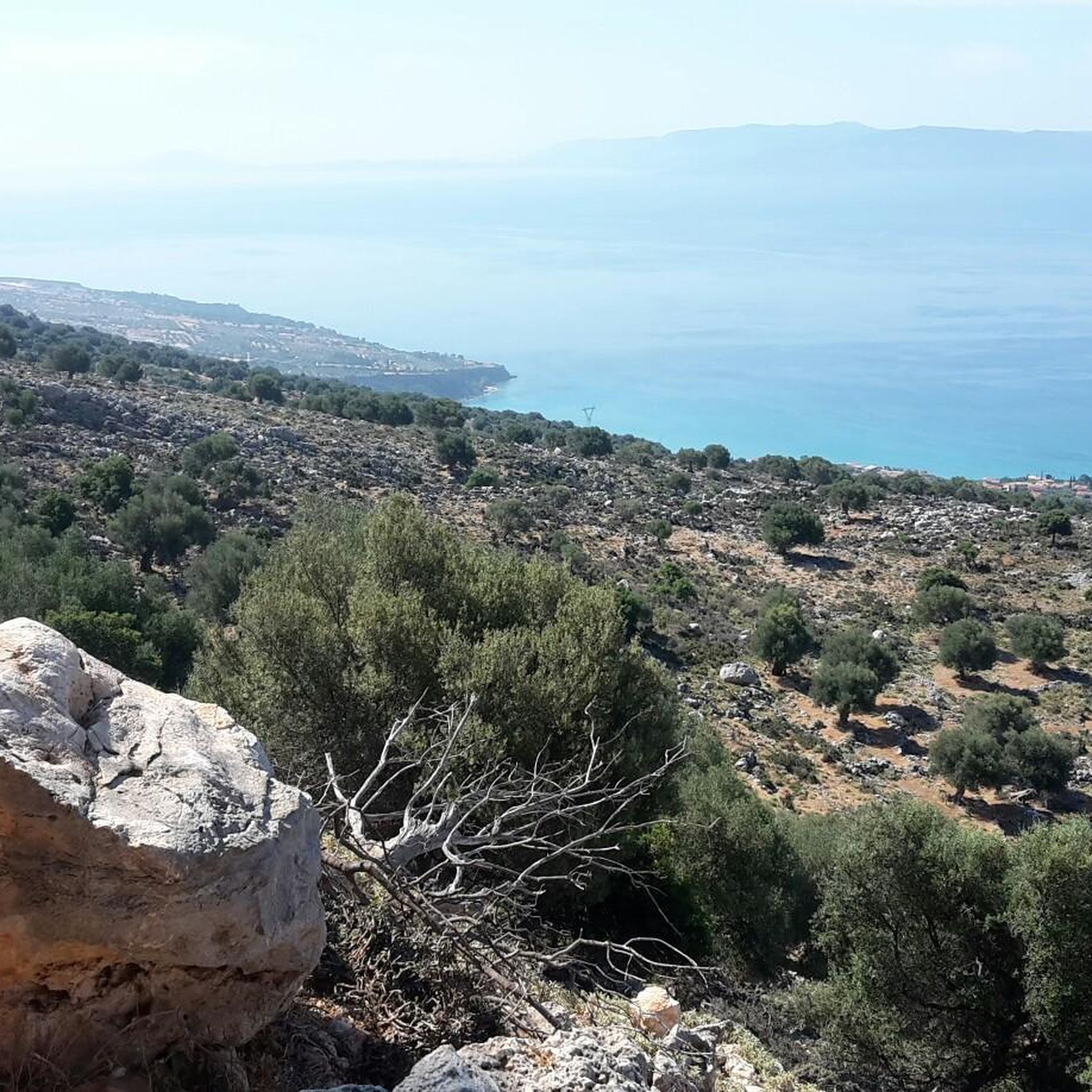
Myrtos Beach is known for its bright turquoise water and the brilliantly white pebble beach, framed by imposing, approximately 1000-meter-high marble cliffs. The beach has been repeatedly voted the most beautiful beach in Greece.
0
0
The obelisk is located on a small artificial island right next to the historic De Bosset Bridge (formerly Drapano Bridge), which crosses the bay of Argostoli. Erected in 1813, the obelisk served as a sign of gratitude from the Parliament of Kefalonia to Great Britain. It is often also called Kolona. Despite the severe earthquake of 1953, the obelisk and parts of the bridge survived the catastrophe.
0
0
(2) In the center of the bridge stands a striking marble obelisk, erected in honor of its builders. It separates the Koutavos lagoon from the rest of the harbor basin. Today it is a purely pedestrian bridge, after being extensively renovated between 2011 and 2013. The bridge is a popular place for walks, especially in the evening when it is illuminated. With a bit of luck, you can even observe sea turtles (Loggerhead sea turtle) in the water from there.
0
0
The De Bosset Bridge (also called Drapano Bridge) is a striking historical landmark. It is considered the world's longest stone sea bridge. The bridge is approximately 690 meters long (exactly 689.9 meters according to the Guinness Book of Records). It was originally built in 1813 as a wooden structure by the Swiss engineer Charles-Philippe De Bosset, who was the island's governor at the time. Later, it was rebuilt in stone. Originally, it was intended to connect Argostoli with the mainland, facilitating access to the city, as one previously had to go around the Koutavos Lagoon.
0
0
From Argostoli, you look directly east across the bay at the opposite district of Drapano (Δράπανο). You can see the wooded shore of Drapano, which is significantly less densely built-up than the city center of Argostoli. De Bosset Bridge: To the right in the field of vision (south), the historic stone bridge stretches across the bay of Argostoli, connecting the city with Drapano. Drapano Hill: In the background, the island's hilly landscape rises, forming a natural backdrop from this position. Argostoli Yacht Marina: Immediately in front of you (on your own shore), you see the jetties of the marina, where yachts and sailboats often anchor.
0
0
Poros is the island's gateway for ferries from the mainland and a relaxed holiday resort in the southeast. Poros is home to one of Kefalonia's main ports with regular Levante Ferries connections to Kyllini on the mainland. The town stretches across two bays. The northern bay houses the actual centre with its promenade, while the ferry port is located in the southern bay. Compared to more well-known places like Fiskardo or Assos, Poros is more authentic and less marked by mass tourism.
2
0
The Saint Theodore Lighthouse (Greek: Agioi Theodoroi), also known as Fanari, is one of Kefalonia's most famous landmarks. It stands on an artificial peninsula about 3 km from the island's capital, Argostoli. The original lighthouse was built in 1828/29. The structure is distinguished by its striking circular design in the Doric style. The 8-meter-high tower is framed by 20 white columns. The devastating earthquake of 1953 completely destroyed the original. In 1964, the lighthouse was faithfully reconstructed by architect Takis Pavlatos, following the original plans. Since 1995, it has been a protected monument of modern Greek history. The location offers sweeping views across the sea to the Paliki peninsula and the island of Vardianoi.
2
0
Frequently Asked Questions
How many road cycling routes are available in Δρυμός Αίνου?
There are over 30 road cycling routes in Δρυμός Αίνου, catering to various skill levels. You'll find a good mix, with 14 moderate and 16 difficult routes, plus a couple of easier options for a more relaxed ride.
What kind of elevation gain can I expect on road cycling routes in Δρυμός Αίνου?
Road cycling in Δρυμός Αίνου, particularly around Mount Aenos, involves significant elevation changes. Routes can range from moderate climbs with around 500-800 meters of ascent to challenging rides exceeding 2,000 meters of climbing. For example, the Mount Ainos Summit – Church of Troianata loop from Lourdata features over 2,000 meters of elevation gain.
Are there any family-friendly road cycling options in Δρυμός Αίνου?
While many routes in Δρυμός Αίνου involve significant climbs, there are a few easier road cycling options available. These routes typically have less elevation gain and shorter distances, making them more suitable for families or those seeking a gentler ride. Look for routes categorized as 'easy' on komoot.
What are the best times of year for road cycling in Δρυμός Αίνου?
The region is generally pleasant for road cycling from spring through autumn. Summer can be hot, especially at lower elevations, so early morning or late afternoon rides are recommended. Spring and autumn offer milder temperatures and beautiful scenery, making them ideal for exploring the park's unique fir forest and panoramic views.
What unique natural features will I see while road cycling in Δρυμός Αίνου?
Δρυμός Αίνου is renowned for its endemic Cephalonian Fir forest, which covers much of the park at altitudes between 600 and 1,600 meters. You'll also experience the diverse Mediterranean maquis ecosystem at lower elevations. Keep an eye out for the small, semi-wild horses on the southeastern slopes of Mount Aenos.
Are there any viewpoints or landmarks along the road cycling routes?
Absolutely. Many routes offer spectacular panoramic views of the Ionian Sea, the Peloponnese, and surrounding islands from the higher elevations of Mount Aenos. Specific highlights include the View from the summit of Mount Ainos and the Bench With Western View in Ainos National Park. The De Bosset Bridge – View of Kefalonia loop from Lourdata also passes by the historic De Bosset Bridge.
Can I find circular road cycling routes in Δρυμός Αίνου?
Yes, many of the road cycling routes in Δρυμός Αίνου are designed as loops, allowing you to start and finish at the same point. Examples include the Bell Tower of Our Lady Fidousa – Poros loop from Lourdata and the View of Myrtos Beach – De Bosset Bridge loop from Drogarati Cave.
What do other cyclists say about road cycling in Δρυμός Αίνου?
The road cycling routes in Δρυμός Αίνου are highly rated by the komoot community, with an average score of 4.5 out of 5 stars from over 27 reviews. Cyclists often praise the challenging climbs, the unique Cephalonian Fir forest, and the breathtaking panoramic views from Mount Aenos.
Are there any cafes or places to stop for refreshments near the road cycling routes?
While the core of Mount Aenos National Park is wild, you'll find villages and towns around its periphery that offer cafes and tavernas. Routes like the Café in Divarata – Sami Bay loop from Chaliotata are designed to pass through areas where refreshments are available, allowing for convenient stops during your ride.
Is there an Environmental Center in the park for more information?
Yes, the Koutavos Environmental Center serves as the headquarters for the Aenos National Park Management Body. It offers exhibitions and information about the natural environment of Kefalonia and the park itself, providing valuable insights into its unique characteristics. You can find more information about the park and its features on the official website: aenosnationalpark.gr.
Can I access the park by public transport for road cycling?
Public transport options directly into the heart of Δρυμός Αίνου are limited. It is generally recommended to use a car to reach starting points for road cycling routes, especially for those planning to tackle the higher elevations of Mount Aenos. Parking is typically available in villages surrounding the park or at designated trailheads.
Are there any specific permits required for road cycling in Δρυμός Αίνου?
Generally, no specific permits are required for road cycling on the public asphalt roads within Δρυμός Αίνου National Park. However, it's always a good idea to check the official Aenos National Park website for any updates or specific regulations, especially if you plan to venture onto dirt forest roads or off-road trails. You can find more information at aenosnationalpark.gr.
Most popular routes around Δρυμός Αίνου
Most popular attractions around Δρυμός Αίνου

Get inspired with the komoot mobile app


Explore more
Browse the best Road cycling routes in other regions.
