The best walks and hikes around Ciśniańsko-Wetliński Park Krajobrazowy
4.7
(1673)
25,608
hikers
250
hikes
Hiking around Ciśniańsko-Wetliński Park Krajobrazowy offers diverse terrain within the Western Bieszczady Mountains of southeastern Poland. The landscape features four parallel mountain ranges, intersected by rivers and streams that form valleys, rock thresholds, and gorges. The park includes approximately twenty peaks exceeding 1,000 meters, with dominant mountain beech forests covering 84% of the area. This region provides a variety of hiking experiences across its natural environment.
Best hiking trails in Ciśniańsko-Wetliński Park Krajobrazowy
- The most popular hiking route is Polanka…
Last updated: October 10, 2026
4.7
(75)
787
hikers
7.56km
02:09
170m
170m
Moderate hike. Good fitness required. Easily-accessible paths. Suitable for all skill levels.
4.8
(68)
663
hikers
14.3km
04:39
600m
600m
Moderate hike. Good fitness required. Mostly accessible paths. Sure-footedness required.

4.9
(46)
710
hikers
10.3km
03:32
550m
550m
Moderate hike. Good fitness required. Mostly accessible paths. Sure-footedness required.
4.8
(16)
251
hikers
30.1km
09:43
1,270m
1,270m
Hard hike. Very good fitness required. Easily-accessible paths. Suitable for all skill levels.
4.7
(21)
220
hikers
Moderate hike. Good fitness required. Mostly accessible paths. Sure-footedness required.
Get access to more routes and recommendations from other explorers.
Already have an account?
Our route recommendations are based on thousands of hikes, rides, and runs completed by other people on komoot.
Start today with a free account
Your next adventure awaits.
Popular around Ciśniańsko-Wetliński Park Krajobrazowy

Main Beskids Trail — the longest Polish Mountain Trail
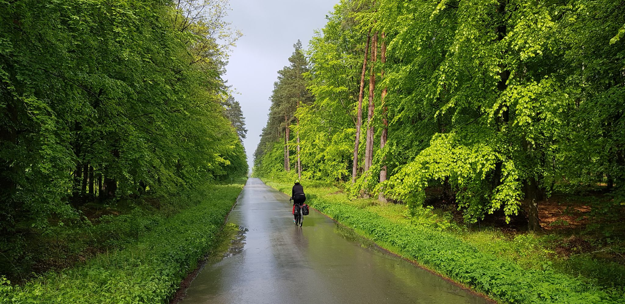
To the east, Eden – La Green Velo Szlak (part one)
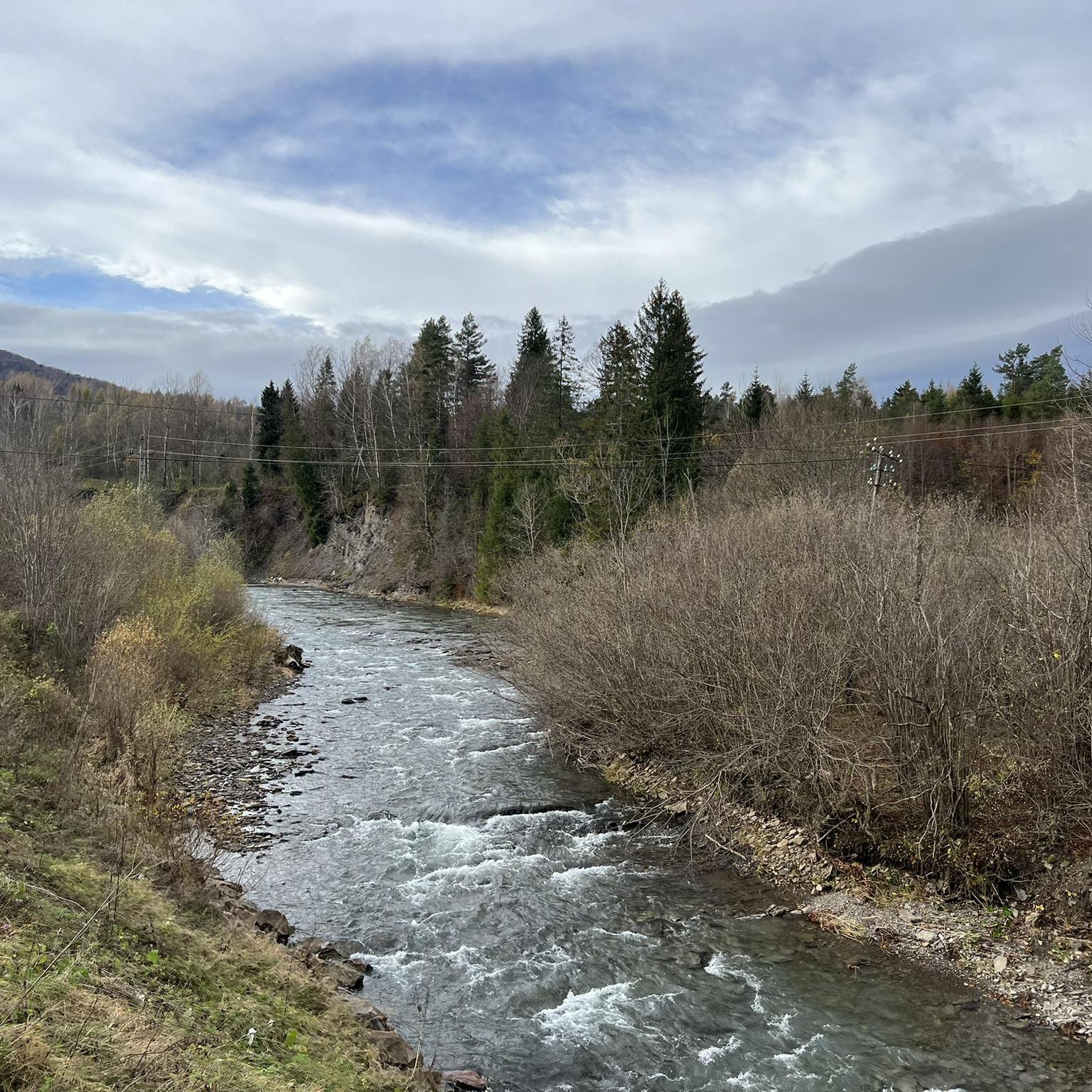
Running Trails around Ciśniańsko-Wetliński Park Krajobrazowy
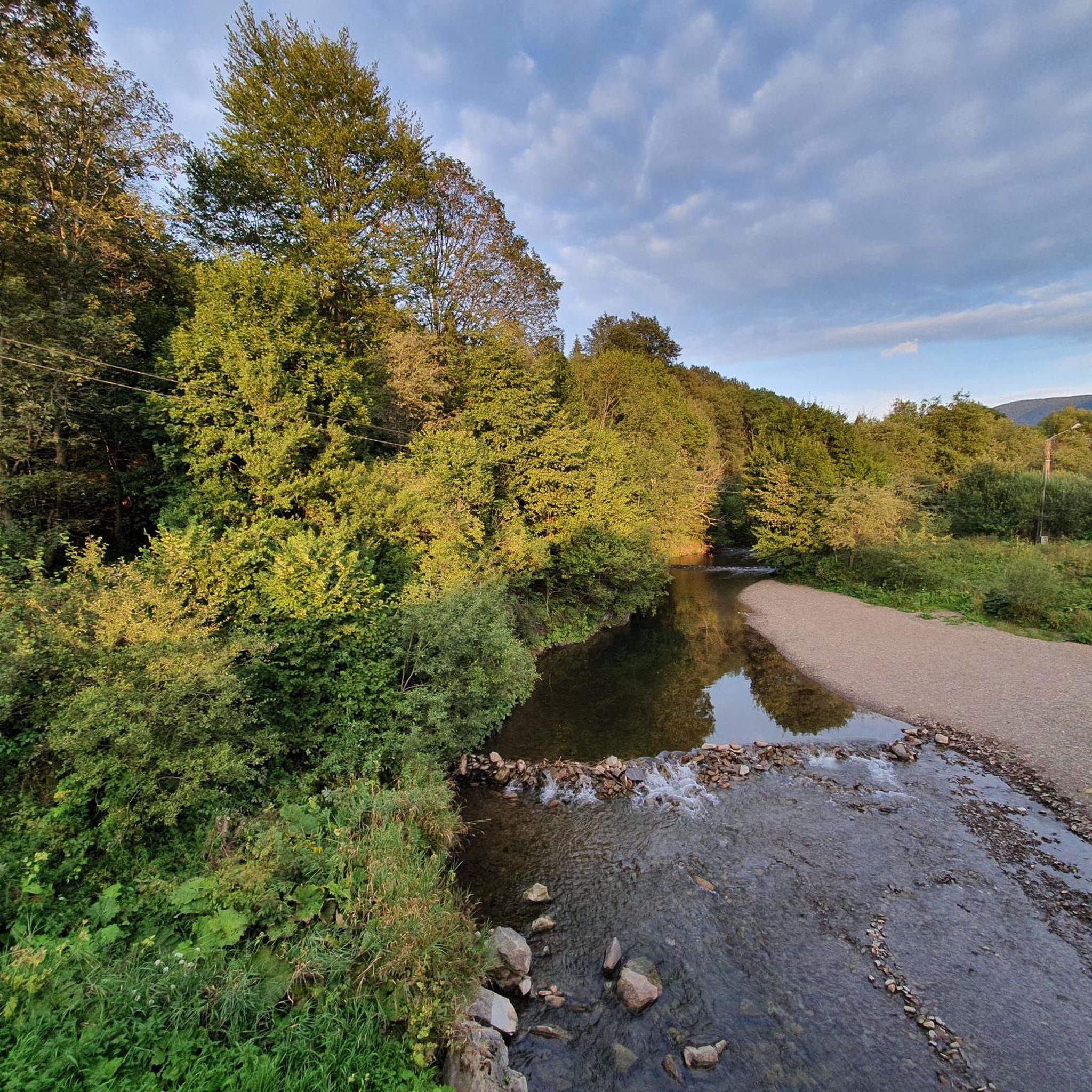
Cycling around Ciśniańsko-Wetliński Park Krajobrazowy
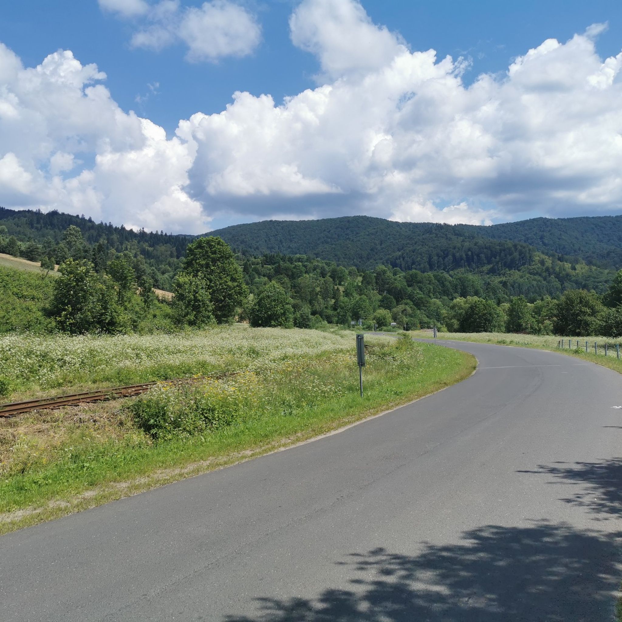
Road Cycling Routes around Ciśniańsko-Wetliński Park Krajobrazowy
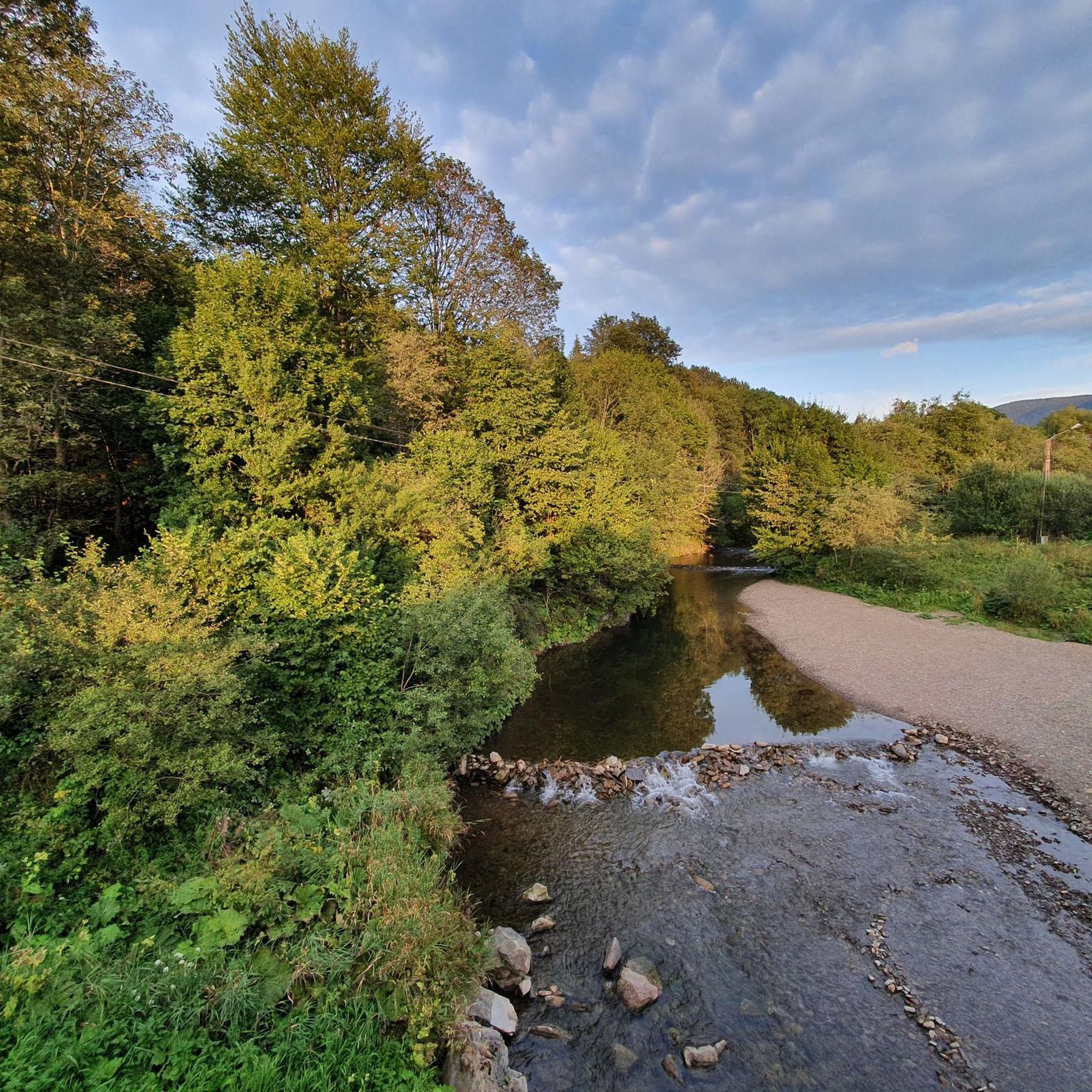
MTB Trails around Ciśniańsko-Wetliński Park Krajobrazowy

Mountain Hikes around Ciśniańsko-Wetliński Park Krajobrazowy
Gravel biking around Ciśniańsko-Wetliński Park Krajobrazowy
Other adventures around Ciśniańsko-Wetliński Park Krajobrazowy


Tips from the Community

More information and photos: https://pl.wikipedia.org/wiki/Jawornik_(pasmo_graniczne) https://wsandalachpara.pl/jawornik-bieszczady-z-wetliny-czy-warto-praktyczny-przewodnik https://mapa-turystyczna.pl/node/jawornik#49.13465/22.44490/13 https://poznajgory.pl/attractions/jawornik/
2
0
More information and photos: https://pl.wikipedia.org/wiki/Krzemieniec_(szczyt) https://goryaktywnie.pl/krzemieniec https://mapa-turystyczna.pl/node/krzemieniec#49.08803/22.56566/14 https://marcinkarpinski.pl/krzemieniec-mala-i-wielka-rawka/ https://www.info.bieszczady.pl/turystyka/szczyty/krzemieniec/
2
0
More information: https://pl.wikipedia.org/wiki/Riaba_Ska%C5%82a https://goryaktywnie.pl/rabia-skala https://andrzej-banach.eu/w-gorach/bieszczadzkie-poloniny/rabia-skala/ https://wbieszczady.pl/szlaki-sciezki-bezdroza/bieszczady-maja-szczyt-o-ktorym-malo-kto-wie-zobacz-co-na-ciebie-czeka/ObXdATtphNa3nUtsm1wB https://www.twojebieszczady.net/piesze/koronka.php https://bieszczady.land/rabia-skala-dla-prawdziwych-wedrowcow/#google_vignette
2
0

A good place to rest and shelter from the rain.
0
0


This is a truly special place. It's easier from Poland, but pure adventure from Slovakia—each to their own taste.
0
0
Frequently Asked Questions
How many hiking trails are available in Ciśniańsko-Wetliński Park Krajobrazowy?
Ciśniańsko-Wetliński Park Krajobrazowy offers a wide variety of hiking experiences with over 230 routes. This includes approximately 60 easy trails, over 100 moderate paths, and 60 more challenging routes, ensuring options for all skill levels.
What kind of terrain can I expect on the hiking trails in the park?
The park's terrain is diverse, characterized by four parallel mountain ranges, picturesque valleys formed by rivers and streams, and extensive mountain beech forests covering 84% of the area. You'll encounter challenging ascents to peaks over 1,000 meters, as well as gentler valley strolls and paths through dense woodlands.
Are there any family-friendly hiking options in Ciśniańsko-Wetliński Park Krajobrazowy?
Yes, there are numerous family-friendly options. Many of the 60 easy routes are suitable for families. For example, the popular Polanka - Sine Wiry: Ciśniańsko-Wetliński Park Krajobrazowy trail is a moderate 7.6 km route that takes about 2 hours, leading through the scenic Sine Wiry Nature Reserve.
What are some notable natural landmarks or viewpoints to see while hiking?
The park is rich in natural beauty. You can explore the picturesque gorges of the Solinka River, especially near Żubracze and Cisna. For expansive views, consider trails leading to peaks like Fereczata, Jasło, or Łopiennik. The Jeleni Skok Viewpoint is also a great spot for panoramic vistas.
Are there any circular hiking routes available?
Yes, the park offers several circular routes. A popular moderate option is Pętla Smerek - Przełęcz Orłowicza - Wetlina: Bieszczadzki Park Narodowy, which is 14.3 km long and provides expansive views from Smerek. Another is Pętla Wetlina - Jawornik, a moderate 8.5 km loop.
What kind of wildlife might I encounter in Ciśniańsko-Wetliński Park Krajobrazowy?
The park is a sanctuary for diverse wildlife. You might spot rare wild forest animals such as brown bears, European bison, wolves, and lynx. It's also a habitat for rare predatory birds like the golden eagle and lesser spotted eagle. Remember to observe wildlife from a distance and respect their natural environment.
What do other hikers enjoy most about hiking in Ciśniańsko-Wetliński Park Krajobrazowy?
The area is highly rated by the komoot community, with an average score of 4.7 stars from over 600 reviews. Hikers often praise the diverse terrain, expansive views from peaks like Smerek, and the immersive experience of walking through the dominant mountain beech forests. The well-maintained trails and natural beauty are frequently highlighted.
Are there any trails that lead to high peaks with panoramic views?
Absolutely. The park features approximately twenty peaks exceeding 1,000 meters. Trails to peaks like Smerek, Jasło, Fereczata, and Łopiennik offer breathtaking panoramic views of the Bieszczady Mountains. The Wetlina - Smerek (via the yellow trail) is a popular 10.3 km route through mountain forests to the Smerek peak.
Can I find any historical or cultural sites along the hiking trails?
Yes, beyond its natural beauty, the park offers a glimpse into its cultural heritage. Hikers can discover remnants of former inhabitants, such as abandoned houses, chapels, and cemeteries. The presence of old Orthodox and Catholic churches also adds a historical dimension to many journeys through the region.
What is the best time of year to go hiking in Ciśniańsko-Wetliński Park Krajobrazowy?
The park is beautiful year-round, but the best time for hiking is typically from late spring to early autumn (May to October). During these months, the weather is generally milder, trails are clear of snow, and the forests are lush. Autumn offers spectacular fall foliage. Some higher trails may be challenging or closed in winter due to snow and ice.
Are there any particularly challenging long-distance hikes in the park?
For experienced hikers seeking a challenge, there are difficult routes available. An example is the demanding Pętla Wetlina - Paportna - Rabia Skała - Kamienna - Kremenec - Wielka Rawka - Mała Rawka. This extensive 30 km route involves significant elevation gain and offers a true test of endurance while showcasing vast wilderness panoramas.
Most popular routes around Ciśniańsko-Wetliński Park Krajobrazowy
Most popular attractions around Ciśniańsko-Wetliński Park Krajobrazowy

Get inspired with the komoot mobile app


Explore more
Browse the best Hikes in other regions.
