The best cycling routes around Carnkilly Lower
4.3
(6)
90
riders
3
rides
Touring cycling around Carnkilly Lower features a landscape characterized by gentle gradients and a network of riverside and loughshore paths. The region offers routes that traverse rural areas, connecting local towns and villages. Elevation gains are generally low, making the area suitable for various touring cycling abilities.
Best touring cycling routes around Carnkilly Lower
- The most popular touring cycling route is Loughshore trail route 2 — Moira loop, an easy 17.7 miles (28.45 km) trail that takes 1 hour…
Last updated: July 9, 2026
6
riders
28.4km
01:50
110m
110m
The Loughshore trail route 2 — Moira loop offers an inviting and generally accessible touring bicycle ride through scenic Northern Irish landscapes. This easy 17.7-mile (28.4 km) loop, with a…
4.0
(1)
4
riders
30.5km
01:59
140m
140m
Cycle the easy Loughshore Trail Route 2 - Moira Loop, a 18.9-mile route through tranquil County Antrim with views of Lough Neagh.

Sign up for free
1
riders
50.3km
03:09
420m
420m
Moderate bike ride. Good fitness required. Mostly paved surfaces. Suitable for all skill levels.
4.6
(5)
55
riders
73.2km
04:15
300m
300m
Moderate bike ride. Good fitness required. Mostly paved surfaces. Suitable for all skill levels.
12
riders
Easy bike ride. Great for any fitness level. Mostly paved surfaces. Suitable for all skill levels.
Our route recommendations are based on thousands of hikes, rides, and runs completed by other people on komoot.
Start today with a free account
Your next adventure awaits.
Login or Signup
Popular around Carnkilly Lower

Tips from the Community

The entrance to Lisnamintry Rath (located on Ballygargan Road, near Portadown) is the gateway to one of the few officially protected archaeological monuments in this part of County Armagh. A rath is an early medieval fortified farmstead (c. 500–1000 AD) that formerly offered protection to families and their livestock against raiders. Not visible from the road.
1
0

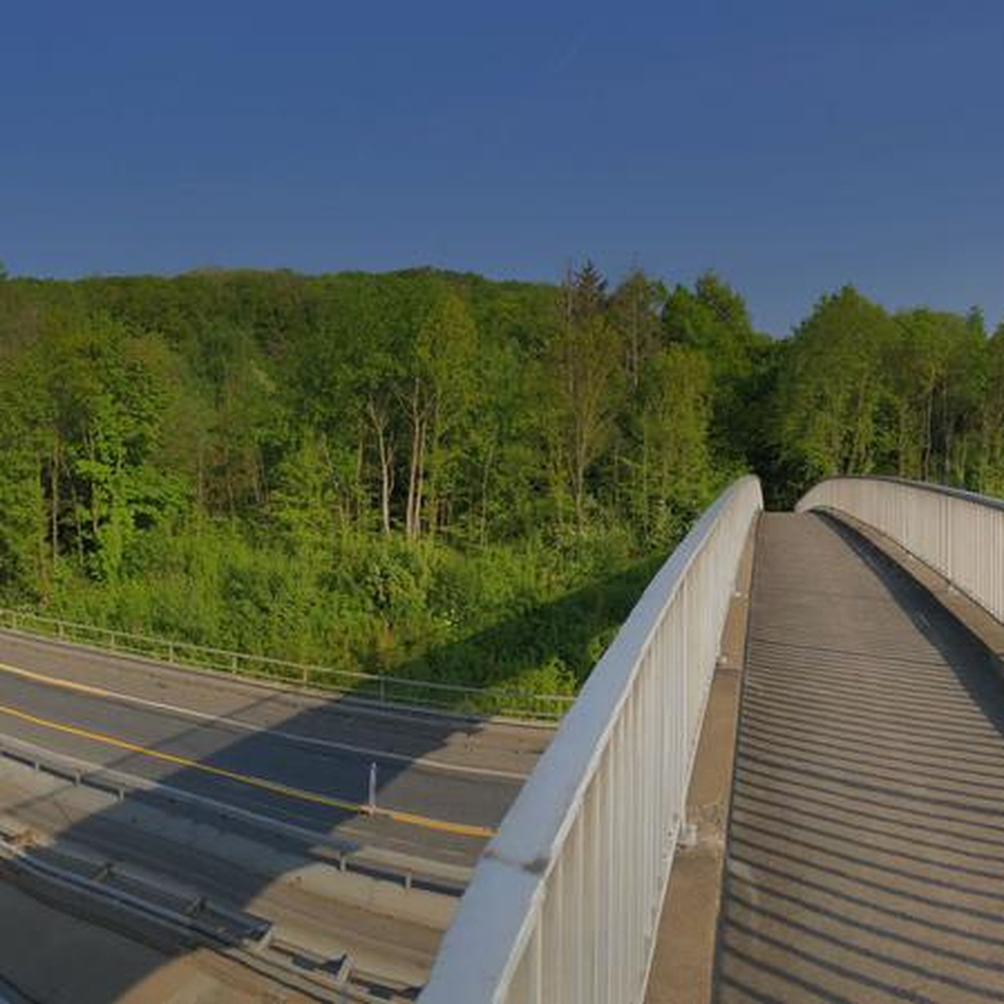
Cycle and pedestrian bridge over the Lagan
1
0

The bridge is named after Captain John Shaw of Oliver Cromwell's army, who built an oak bridge here in 1655. A stone bridge was built by Thomas Burgh in 1691, although this was destroyed by flooding, which led to it being replaced by the present bridge in 1709.
3
0


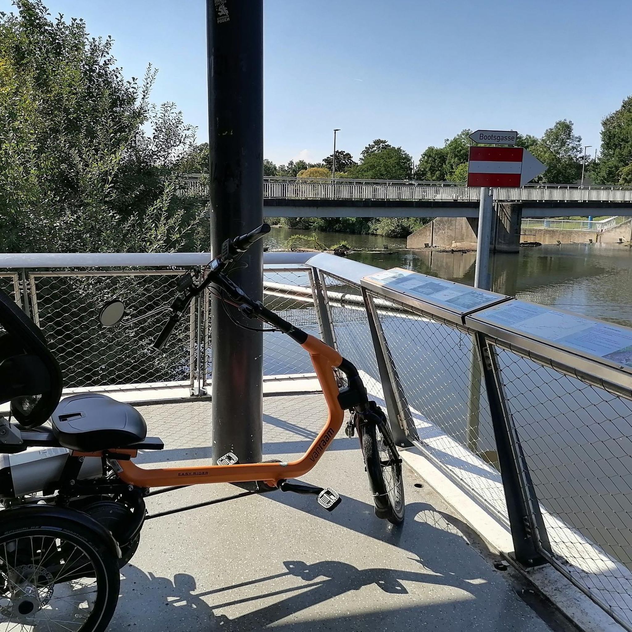
The path, which is part of National Cycle Route 9, offers a peaceful atmosphere that is ideal for relaxed bike rides - but walkers, joggers and dog owners also appreciate the route. The contrast between the quiet river and the partially flooded sections that can appear after heavy rain is particularly exciting. Sometimes the path leads directly to the water, and it almost seems as if the Lagan wants to reclaim a bit more space. The trees are reflected in the calm waters, which creates an almost mystical atmosphere in cloudy weather. Another highlight are the small, branching mountain bike trails that bring a bit of adventure to the tour. If you want a change and don't just want to follow the river, these trails offer a welcome change.
1
0
The path, which is part of National Cycle Route 9, offers a peaceful atmosphere that is ideal for relaxed bike rides - but walkers, joggers and dog owners also appreciate the route. The contrast between the quiet river and the partially flooded sections that can appear after heavy rain is particularly exciting. Sometimes the path leads directly to the water and it almost seems as if the Lagan wants to reclaim a bit more space. The trees are reflected in the calm waters, which creates an almost mystical atmosphere in cloudy weather. Another highlight are the small, branching mountain bike trails that bring a bit of adventure to the tour. If you want a change and don't just want to follow the river, these trails offer a welcome change.
0
0
The park covers almost 130 hectares and offers a variety of landscapes - from wide meadows and shady woodlands to manicured rose and Japanese gardens. The International Rose Trials, which take place here every year, are particularly exciting. If you come at the right time, you can admire an impressive variety of roses, which are judged by international experts. But the park has a lot to offer away from the roses in bloom: whether you just want to take a quiet walk in the Walled Garden, explore the Japanese Garden or challenge yourself on the orienteering course - everyone will find a favorite spot here. A small café provides refreshments and the playground also has something for younger visitors. The park has many hidden corners that make it an ideal stop to recharge.
0
0
The old stone bridge stretches majestically over the still water, which is perfectly reflected and creates a calm, almost magical atmosphere. The surrounding nature is inviting and offers a wonderful backdrop with green meadows and shady paths. A light wind blows through the trees and the sounds of nature accompany you with every pedal stroke.
1
0
Frequently Asked Questions
How many touring cycling routes are available around Carnkilly Lower?
There are currently 5 touring cycling routes available around Carnkilly Lower on komoot. These routes cater to various skill levels, including easy and moderate options.
What kind of terrain can I expect on touring cycling routes in Carnkilly Lower?
The terrain around Carnkilly Lower is characterized by gentle gradients, making it suitable for touring cyclists. You'll find routes traversing rural areas, riverside paths, and scenic loughshore paths, connecting local towns and villages.
Are there any easy touring cycling routes suitable for beginners or families?
Yes, Carnkilly Lower offers several easy routes. A great option is the Loughshore trail route 2 — Moira loop, which is 17.7 miles (28.45 km) long and follows scenic loughshore paths. Another easy choice is the Broad Water Riverside Path – Broad Water Cycle Path loop from Aghalee, a shorter 9.1 miles (14.7 km) route.
Are there any challenging touring cycling routes in the area?
While the region generally features gentle gradients, some routes offer longer distances and varied terrain. The Shaw's Bridge – Lagan Towpath loop from Moira is a moderate 45.8 miles (73.74 km) trail that takes you along riverside paths, providing a longer day out.
What is the typical length and duration of touring cycling routes in Carnkilly Lower?
Route lengths vary, with options ranging from approximately 9 miles (14.7 km) to over 45 miles (73.7 km). Durations can range from under 2 hours for shorter, easy routes to over 4 hours for longer, moderate trails, depending on your pace.
Are there any circular touring cycling routes available?
Yes, many routes in Carnkilly Lower are designed as loops. Examples include the Loughshore trail route 2 — Moira loop and the Moira to Lisnamintry loop, allowing you to start and finish at the same point without retracing your steps.
What do other touring cyclists say about the routes in Carnkilly Lower?
The touring cycling routes in Carnkilly Lower are highly rated by the komoot community, with an average score of 4.3 stars from over 6 reviews. Cyclists often praise the scenic loughshore and riverside paths, as well as the generally low elevation gains that make for enjoyable rides.
What is the best time of year to go touring cycling in Carnkilly Lower?
The region is generally pleasant for touring cycling from spring through autumn. These seasons offer milder weather and longer daylight hours, making for more comfortable rides along the loughshore and rural paths. Always check local weather forecasts before heading out.
Are there any specific viewpoints or scenic spots along the touring routes?
Many routes in Carnkilly Lower follow loughshore and riverside paths, offering continuous scenic views of the water and surrounding countryside. The Loughshore trail route 2 — Moira loop, for instance, is known for its picturesque loughshore scenery.
What should I consider bringing for a touring cycling trip in Carnkilly Lower?
Given the rural and loughshore nature of the routes, it's advisable to bring essentials like water, snacks, a basic repair kit, and appropriate clothing for varying weather conditions. Sun protection is also recommended, especially on open loughshore sections.
Are there places to stop for refreshments or cafes along the routes?
Many routes connect local towns and villages, such as Moira, which offer opportunities for refreshments. While specific cafes aren't listed for every route, planning your ride through these settlements will provide options for food and drink.
Most popular routes around Carnkilly Lower

Get inspired with the komoot mobile app


Explore more
Browse the best Cycling routes in other regions.
