The best MTB trails around Burgwallbacher Forst
4.7
(2218)
7,304
riders
623
rides
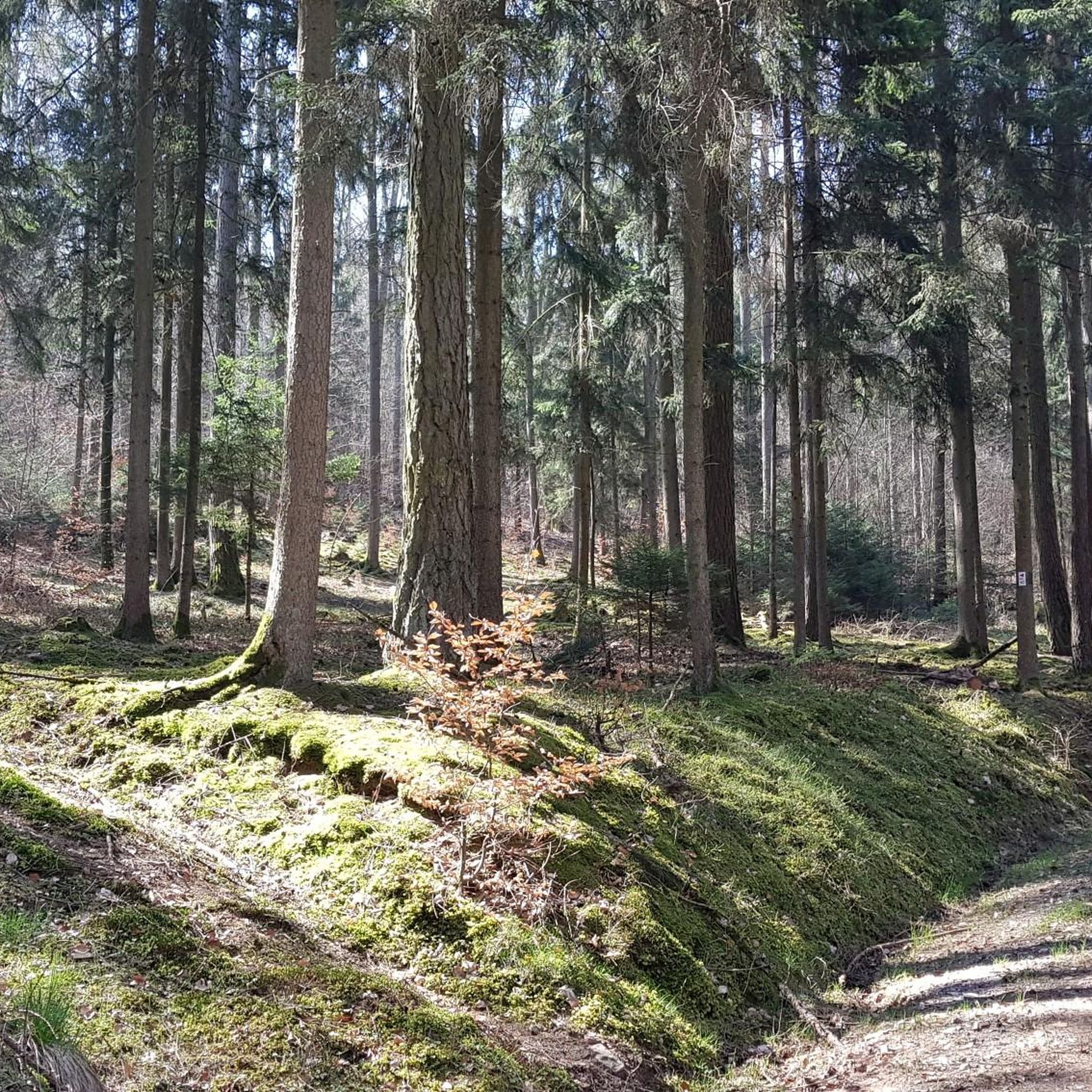
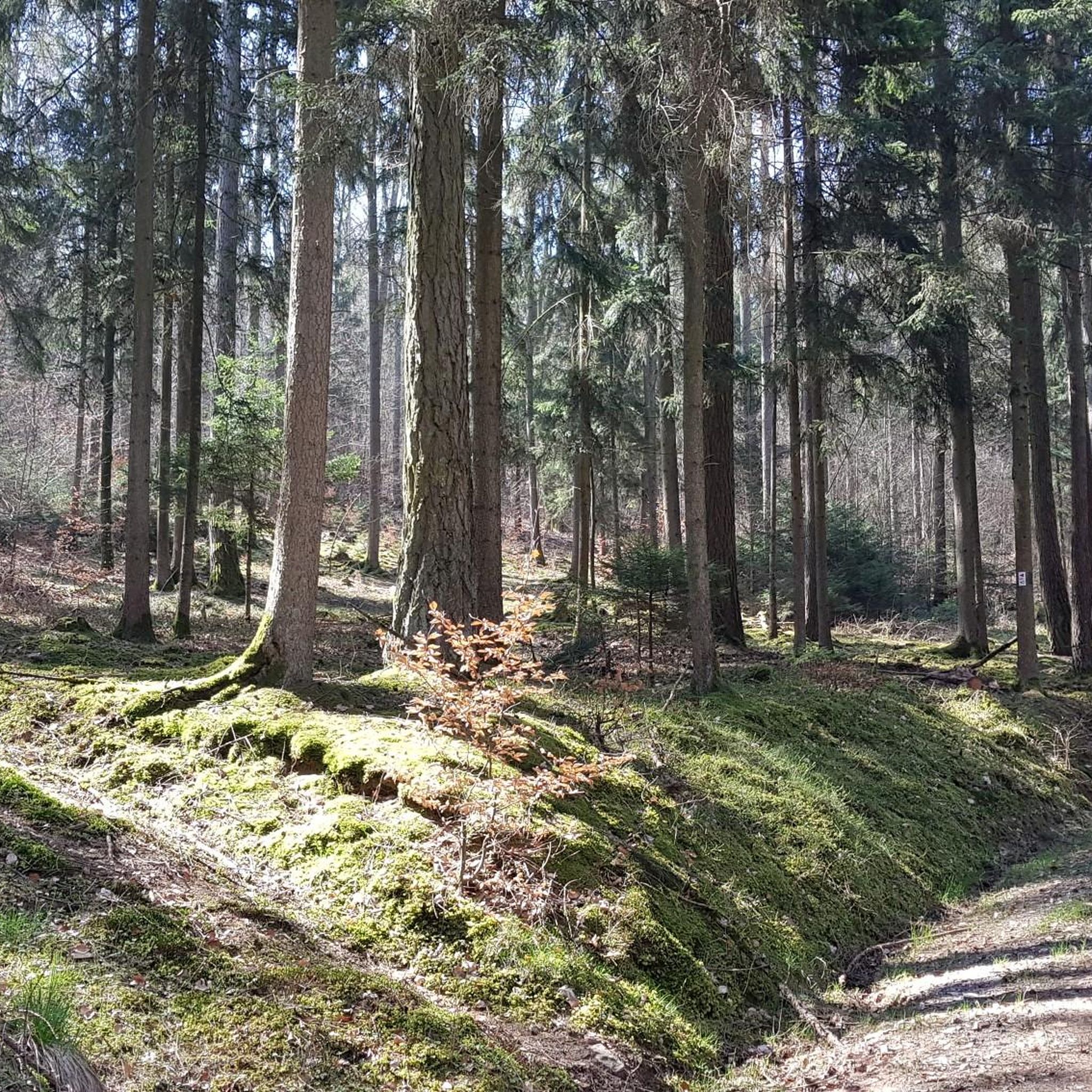
Mountain biking around Burgwallbacher Forst offers routes through a largely unpopulated and entirely forested area within the Bavarian Rhön. The region is characterized by dense woodlands and varied elevation, ranging from an average of 527 meters to a highest point of 627 meters. This provides dynamic cycling experiences with undulating terrain suitable for both climbs and descents. Trails wind through natural singletracks and forest roads within the Rhön Biosphere Reserve.
Best mountain bike trails around Burgwallbacher Forst
- The most popular…
Last updated: July 15, 2026
5.0
(22)
154
riders
55.6km
05:11
1,470m
1,470m
Hard mountain bike ride. Very good fitness required. Advanced riding skills necessary.
4.7
(13)
59
riders
30.5km
03:04
720m
720m
Hard mountain bike ride. Good fitness required. Advanced riding skills necessary. Some portions of the route may require you to push your bike.

Sign up for free
5.0
(3)
10
riders
3.93km
00:26
150m
150m
Easy mountain bike ride. Great for any fitness level. Suitable for all skill levels.
5.0
(6)
29
riders
Moderate mountain bike ride. Good fitness required. Suitable for all skill levels.
5.0
(3)
11
riders
3.66km
00:24
150m
150m
Easy mountain bike ride. Great for any fitness level. Suitable for all skill levels.
Get access to more routes and recommendations from other explorers.
Sign up for free
Already have an account?
Our route recommendations are based on thousands of hikes, rides, and runs completed by other people on komoot.
Start today with a free account
Your next adventure awaits.
Login or Signup


Tips from the Community

Year of construction 1964, drag lift in the Kreuzberg ski area with T-bar/anchor.
1
0

small chapel next to the Flowtrail
0
0


As of May 30th, everything is free and drivable
2
0

A superbly maintained flow trail that's a lot of fun. Currently, the lower root section of the trail is under construction and therefore closed (May 2025).
2
0
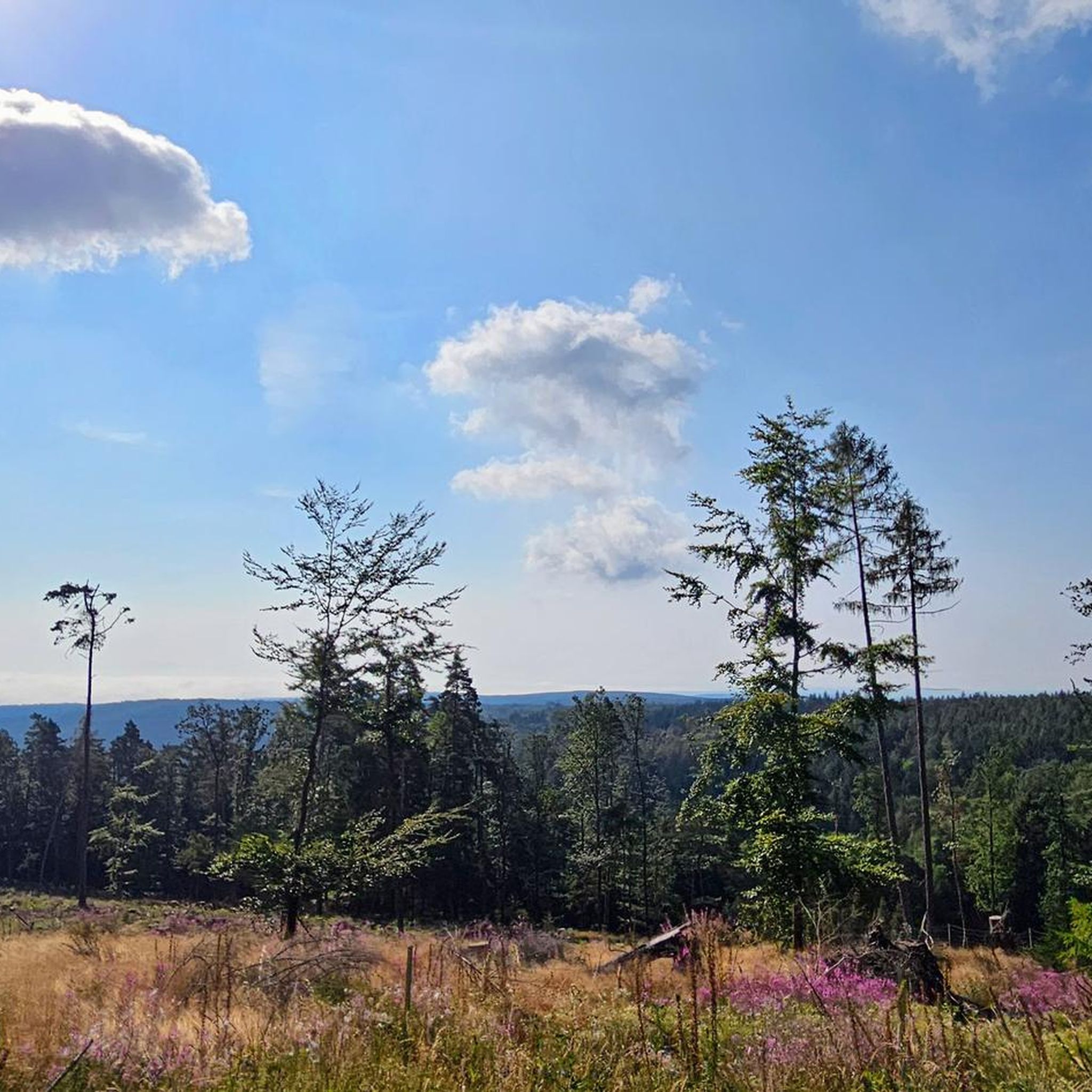
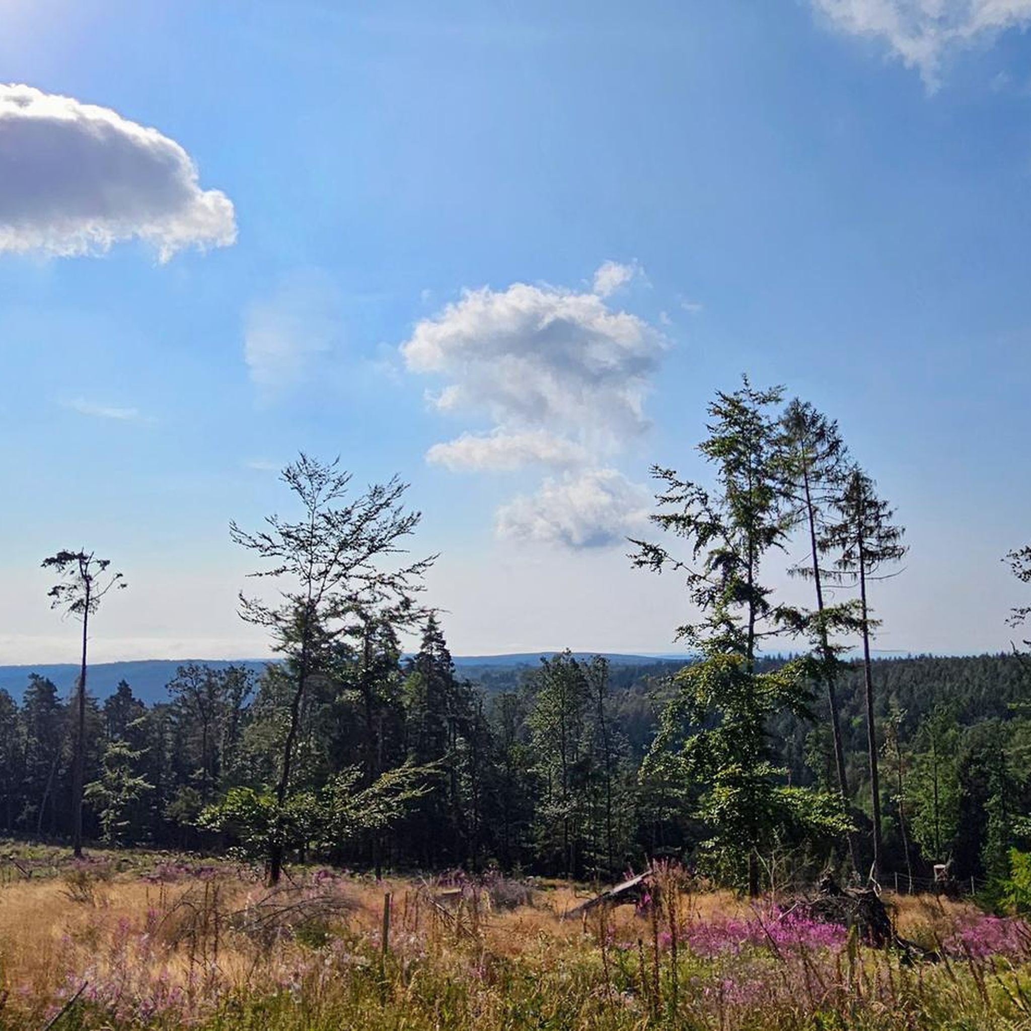
Great views of the Kreuzberg and surrounding area. A lovely family hike to the WÜ Karl Straub House is also possible. Easily accessible with a stroller.
0
0

The trail is really cool going down, but also going uphill is no problem
0
0
Frequently Asked Questions
How many mountain bike trails are available in Burgwallbacher Forst?
There are over 640 mountain bike routes around Burgwallbacher Forst, offering a wide range of options for different skill levels. This includes approximately 100 easy routes, over 440 moderate routes, and around 90 difficult trails.
What kind of terrain can I expect on mountain bike trails in Burgwallbacher Forst?
The trails in Burgwallbacher Forst primarily wind through dense woodlands, offering natural singletracks and forest roads. The region features varied elevation, ranging from an average of 527 meters to a highest point of 627 meters, providing dynamic cycling experiences with both climbs and descents.
Are there any family-friendly mountain bike routes in Burgwallbacher Forst?
Yes, Burgwallbacher Forst offers several easy routes suitable for families. For example, the Kreuzberg Flowtrail Entrance – Irenkreuz loop from Kilianshof is an easy 3.7 km trail that can be completed in under half an hour, perfect for a shorter family outing.
What are some notable natural features or landmarks to see while mountain biking in the area?
While mountain biking, you can explore several natural and cultural highlights. The nearby Burgwallbach Lake is a popular spot, and the region is part of the Rhön Biosphere Reserve. You might also encounter the Kreuzberg Monastery or the Golgotha group (Three Crosses) on the Kreuzberg.
Are there any circular mountain bike routes in Burgwallbacher Forst?
Yes, many routes in the area are designed as loops. An example is the View from the summit of Kreuzberg – View of Sandberg loop from Burgwallbach, a moderate 27.0 km path that offers scenic vistas. Another option is the View from the summit of Kreuzberg – Kreuzberg Flowtrail Entrance loop from Kilianshof.
What do other mountain bikers say about the trails in Burgwallbacher Forst?
The mountain bike trails in Burgwallbacher Forst are highly rated by the komoot community, with an average score of 4.7 stars from over 2,400 reviews. Reviewers often praise the extensive views, varied forest terrain, and the dynamic cycling experiences offered by the region's elevation changes.
Are there any challenging mountain bike trails for experienced riders?
Absolutely. For experienced riders seeking a challenge, the Jagdschloss Holzberghof – View of the Wasserkuppe loop from Forst Schmalwasser-Nord is a difficult 55.5 km trail with significant elevation gain, offering extensive views towards the Wasserkuppe.
Is there public transport access to Burgwallbacher Forst for mountain bikers?
While Burgwallbacher Forst is an unpopulated and entirely forested area, it is situated within the Rhön-Grabfeld district. Public transport options to the surrounding villages exist, but direct access to trailheads within the Forst might require planning. It's advisable to check local bus schedules for connections to nearby towns like Burgwallbach or Kilianshof.
Where can I find parking for mountain biking in Burgwallbacher Forst?
Parking is generally available in the villages surrounding Burgwallbacher Forst, such as Burgwallbach, Kilianshof, or Unterweißenbrunn, which serve as common starting points for many routes. Specific trailhead parking information can often be found on individual route descriptions on komoot.
Are there any regulations or permits required for mountain biking in Burgwallbacher Forst?
Burgwallbacher Forst is part of the Rhön Biosphere Reserve. While general access for mountain biking is permitted on designated trails, it's always good practice to respect local regulations, stay on marked paths, and be mindful of nature conservation efforts. No specific permits are typically required for recreational mountain biking on public trails.
Can I find places to eat or drink near the mountain bike trails?
Yes, the villages surrounding Burgwallbacher Forst, such as Burgwallbach, Kilianshof, and Unterweißenbrunn, offer options for cafes, pubs, and restaurants where you can refuel after your ride. You might also find traditional huts like the Gemündener Hut or the Fisherman's Hut at Rothsee along some routes.
What is the best time of year for mountain biking in Burgwallbacher Forst?
The dense forests of Burgwallbacher Forst provide shade, making spring, summer, and autumn ideal for mountain biking. Spring offers fresh greenery, summer provides cool forest trails, and autumn brings vibrant foliage. Winter riding is possible but requires checking for snow and ice conditions, as some trails may become challenging or impassable.
Most popular routes around Burgwallbacher Forst
Most popular attractions around Burgwallbacher Forst

Get inspired with the komoot mobile app


Explore more
Browse the best MTB trails in other regions.
