The best cycling routes around Burgwallbacher Forst
4.5
(4682)
20,681
riders
714
rides
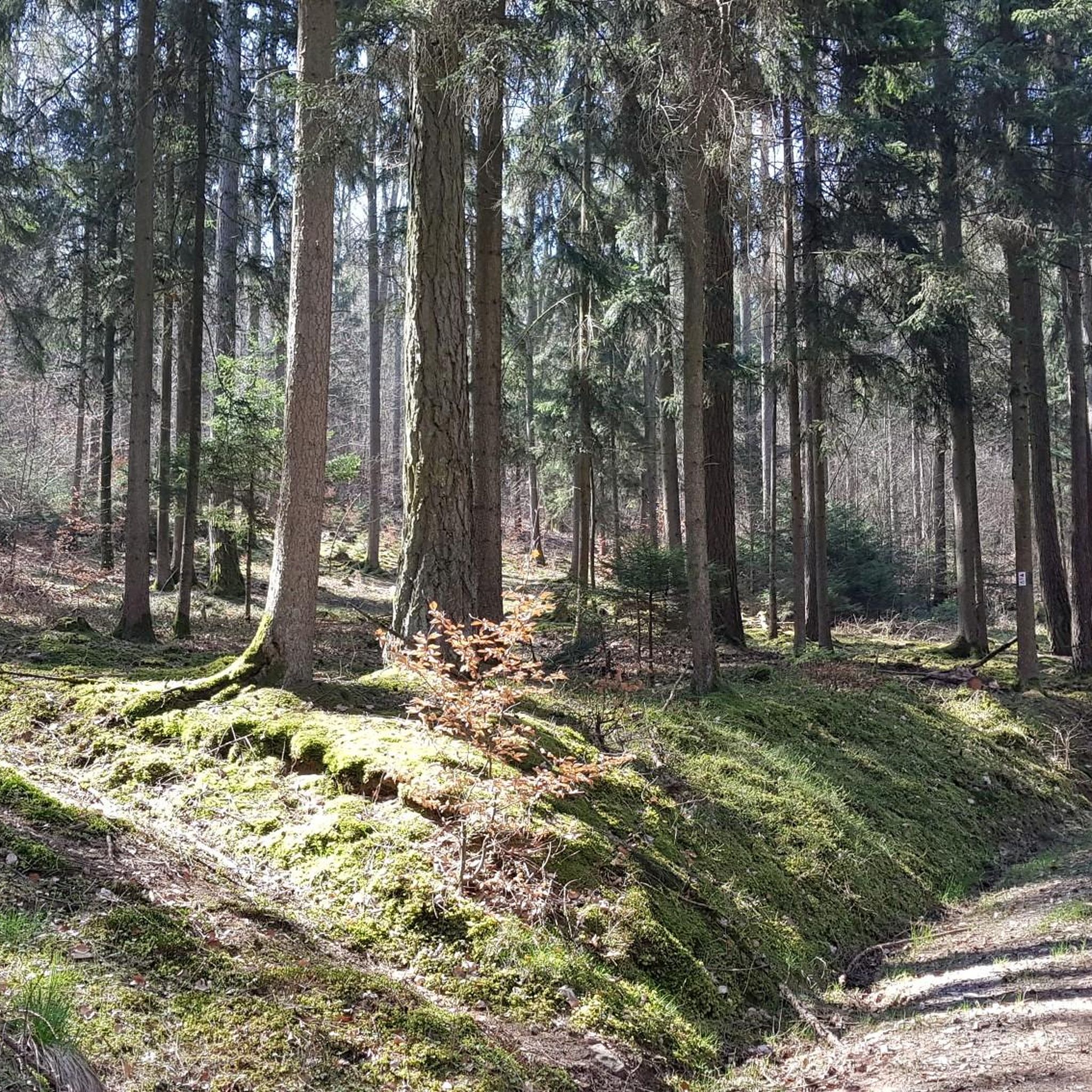
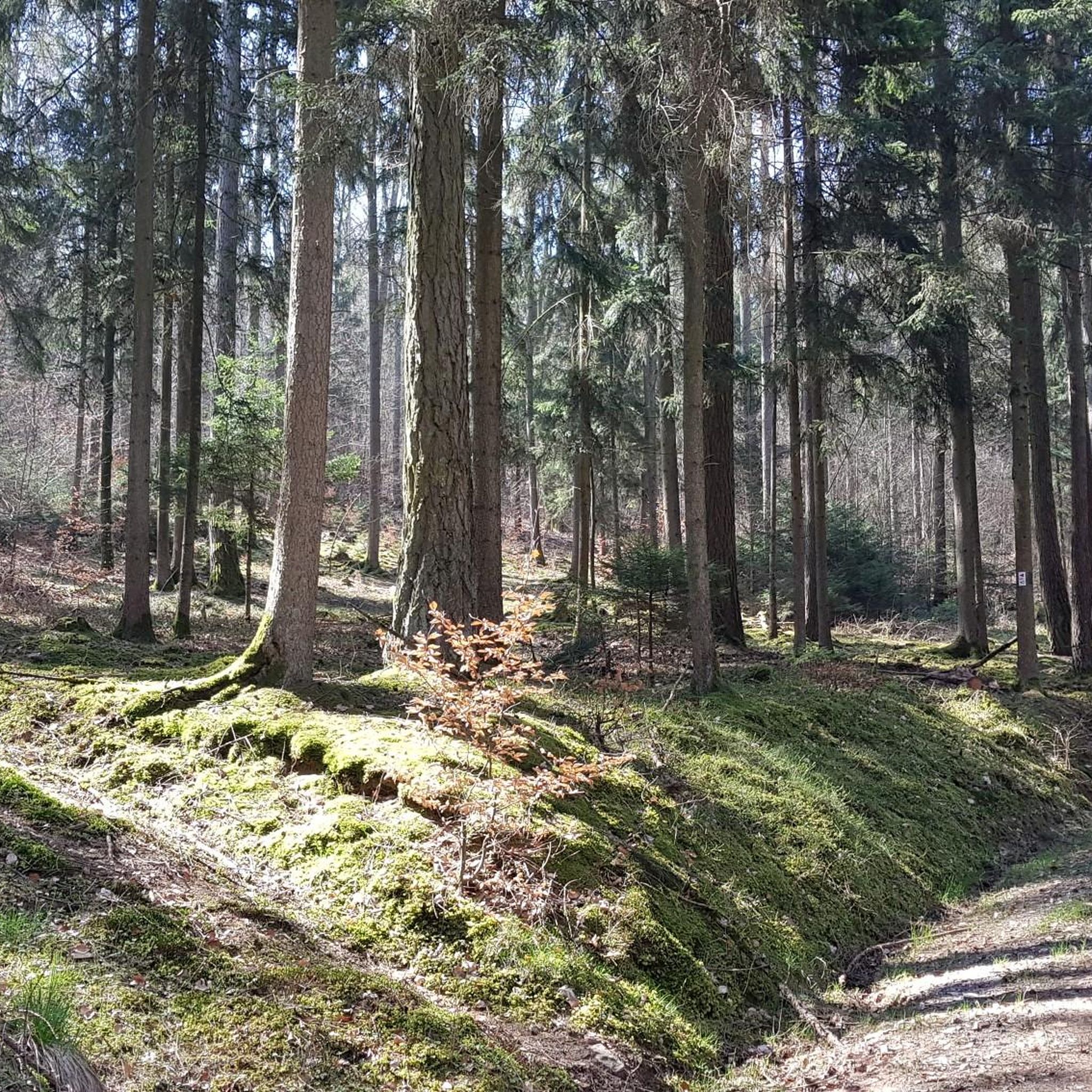
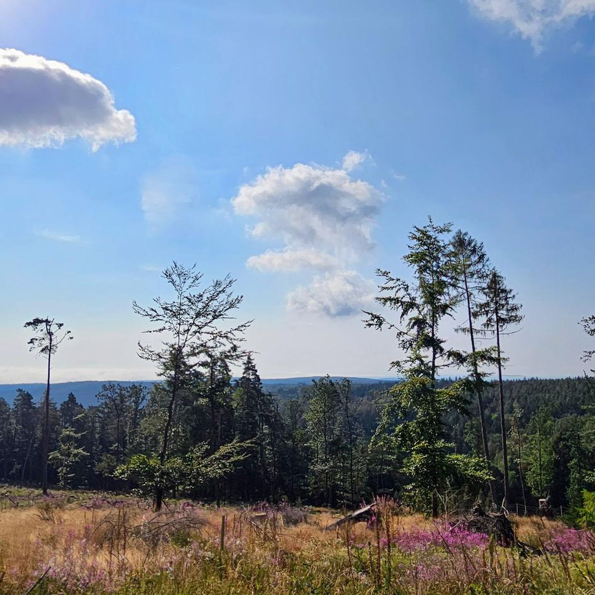
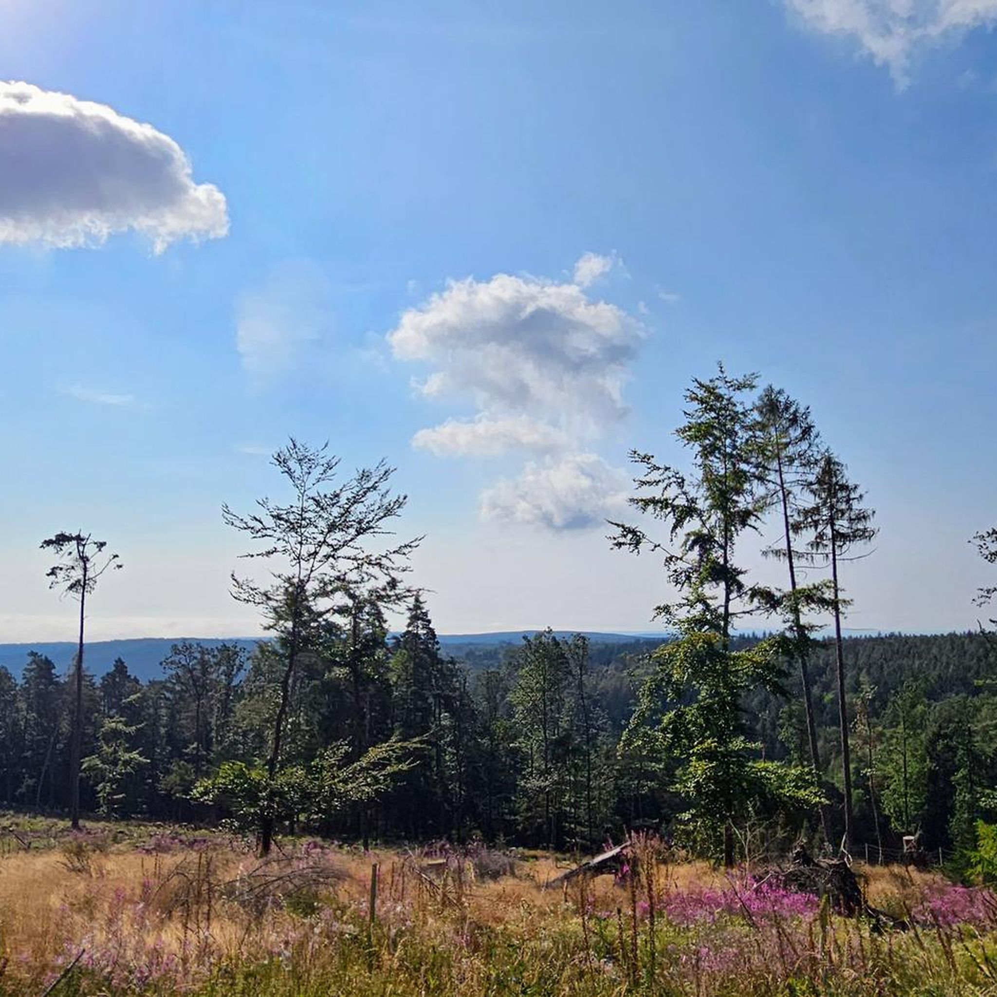
Touring cycling around Burgwallbacher Forst offers routes through a predominantly forested and largely uninhabited area within the Bavarian Rhön. The region features varied terrain, with the highest point reaching 627 meters above sea level, providing a mix of ascents and descents. Extensive woodlands offer shaded environments, while the Burgwallbacher See provides a natural highlight for breaks. This landscape supports a network of cycling paths suitable for different preferences and fitness levels.
Best touring cycling routes around Burgwallbacher Forst
- The most…
Last updated: November 1, 2026
4.5
(158)
462
riders
Moderate bike ride. Good fitness required. Mostly paved surfaces.
4.6
(45)
228
riders
Hard bike ride. Good fitness required. You may need to push your bike for some segments of this route.

4.4
(21)
65
riders
Hard bike ride. Very good fitness required. Mostly paved surfaces.
5.0
(2)
49
riders
60.3km
05:23
1,520m
1,520m
Hard bike ride. Very good fitness required. You may need to push your bike for some segments of this route.
4.7
(15)
68
riders
28.2km
01:45
220m
220m
Moderate bike ride. Good fitness required. Mostly paved surfaces.
Get access to more routes and recommendations from other explorers.
Already have an account?
Our route recommendations are based on thousands of hikes, rides, and runs completed by other people on komoot.
Start today with a free account
Your next adventure awaits.


Tips from the Community

The Kreuzberg is considered the "Holy Mountain of the Franconians". The highest elevation in the Bavarian Rhön, at 928 meters, is known not only as a pilgrimage site but also for the world-famous Kreuzbergbier, which is produced in the monastery brewery located on the mountain and enjoyed in the cozy monastery tavern with all sorts of regional delicacies.
0
0

You have to climb up there, meter by meter, but it's worth it.
0
0

The historic town center of Bischofsheim an der Rhön is characterized by its medieval basic structure and a wealth of traditional building and craftsmanship.
1
0

The Kreuzberg in the Rhön has always attracted people as a place of power. In pre-Christian times, there was a sacred ash tree there, which is remembered by the old name "Aschberg". Since the Christianization of the Franks by St. Kilian and his companions in the year 686, the Kreuzberg has been considered the Holy Mountain of the Franks. The monastery, located just below the summit, was founded in 1644 by Franciscan monks. The pilgrimages are popular with the population, both from the surrounding area and traditionally from the Lower Franconian district town of Würzburg, which makes the long journey on foot to the pilgrimage church every year. Quelle: https://www.biosphaerenreservat-rhoen.de/mensch/tourismus-gastronomie-und-erholung/schaetze-der-rhoen/der-kreuzberg
1
0

Very nice path along the Brend - don't forget your wading boots if the water is high :-)
0
0

The center of Bischofsheim is super nice and definitely worth seeing on a tour.
1
0

Directly below the Kreuzberg is a paid hiking parking lot. From there it is only about 400 meters to the Kreuzberg monastery. Via a steep staircase, you reach the Kreuzberg (928 m above sea level). On the way, you pass three oversized crosses that represent striking waypoints. A little further up, you finally reach the even larger summit cross of the mountain. The location is part of the Bischofsheimer Gipfel-Pass with stamp number 3 (directly next to the cross pedestal).
1
0

Wide Brend barrel.
0
0
Frequently Asked Questions
What kind of terrain and difficulty can I expect on touring cycling routes in Burgwallbacher Forst?
Burgwallbacher Forst offers a diverse range of touring cycling routes, from easy riverside paths to more challenging trails with significant elevation gains. The region is characterized by extensive woodlands and varied terrain, with the highest point reaching 627 meters above sea level. You'll find routes suitable for all fitness levels, including 154 easy, 270 moderate, and 283 difficult options.
Are there any notable natural features or landmarks to see while cycling in Burgwallbacher Forst?
Yes, the region boasts several natural and cultural highlights. The serene Burgwallbacher See, fed by fresh spring water, is an ideal spot for a break. You can also explore the unique landscape of the Rotes Moor via its plank path. For cultural interest, the nearby Kreuzberg Monastery, often called the 'holy mountain,' offers a chance to enjoy local food and beer, and provides expansive views from the 'Dreikreuze' (Three Crosses) viewpoint. Additionally, you might encounter highlights such as the Teufelskeller (Devil’s Cellar) or the Golgotha group (Three Crosses) on the Kreuzberg.
What do other touring cyclists enjoy most about cycling in Burgwallbacher Forst?
The komoot community highly rates touring cycling in Burgwallbacher Forst, with an average score of 4.5 stars from over 4,200 reviews. Cyclists often praise the extensive woodlands that provide welcome shade, the varied terrain offering both gentle and challenging rides, and the overall natural beauty of the region, including the tranquil Burgwallbacher See.
Are there any easy touring cycling routes suitable for beginners or families?
Yes, Burgwallbacher Forst offers a good selection of easy touring cycling routes. For instance, the War Memorial Chapel – BahnRadweg R1 🚴 Brend Riverside loop from Schönau an der Brend is an easy 10.7-mile (17.2 km) path that follows the Brend riverside, providing a gentle ride through natural surroundings. There are 154 easy routes in total, many of which are suitable for families or those seeking a more relaxed pace.
Can I find circular touring cycling routes in the area?
Yes, many of the touring cycling routes in Burgwallbacher Forst are designed as loops, allowing you to start and end at the same point. For example, the popular View of the Rhön – Bad Neustadt Marketplace loop from Bischofsheim in der Rhön is a moderate 28.8-mile (46.4 km) circular trail offering expansive views. Another option is the Bridge Over the Brend – View of the Brend Valley loop from Wegfurt, a moderate 41.8 km route.
What is the best time of year for touring cycling in Burgwallbacher Forst?
The extensive woodlands of Burgwallbacher Forst provide welcome shade, making it pleasant for cycling during warmer months. The region's natural beauty, including the Burgwallbacher See, is enjoyable even in autumn. Generally, spring through autumn offers the most favorable conditions for touring cycling, with comfortable temperatures and vibrant scenery. Winter cycling is possible but may require specific gear and awareness of trail conditions.
Are there any routes that pass by historical or cultural sites?
Absolutely. The region is rich in cultural landmarks. The Historic centre of Fladungen – Fladungen Museum Railway loop from Bischofsheim in der Rhön is a 31.3-mile (50.3 km) trail that leads through areas with cultural landmarks, including the historic center of Fladungen. The nearby Kreuzberg Monastery is also a significant cultural destination that can be integrated into many cycling tours.
Where can I find parking for touring cycling routes in Burgwallbacher Forst?
While specific parking locations for every route are not detailed here, the region is generally well-equipped for outdoor activities. Given its popularity for cycling, you can typically find designated parking areas near trailheads or in nearby towns such as Bischofsheim in der Rhön or Schönau an der Brend, which serve as common starting points for tours.
Are there any viewpoints along the touring cycling routes?
Yes, the varied terrain of the Rhön region, with its highest point at 627 meters, offers several opportunities for scenic views. The View of the Rhön – Bad Neustadt Marketplace loop from Bischofsheim in der Rhön specifically highlights expansive views across the Rhön landscape. The ascent to Kreuzberg also rewards cyclists with beautiful vistas, such as from the 'Dreikreuze' viewpoint, looking into the valley. You can also find the Panoramic View from Simmelsberg.
Can I combine cycling with other activities, like visiting caves or mountain peaks?
Yes, Burgwallbacher Forst is surrounded by opportunities to combine cycling with other outdoor explorations. You can visit nearby caves like the Teufelskeller (Devil’s Cellar) or the Öschicher Wichtelhöhle. For those interested in higher elevations, the region also features mountain peaks such as the Himmeldunkberg summit or the Heidelstein summit, which can be accessed via hiking trails often connected to cycling routes.
Are there options for longer touring cycling routes in the area?
Yes, Burgwallbacher Forst and the surrounding Rhön region offer routes suitable for longer touring experiences. While the Historic centre of Fladungen – Fladungen Museum Railway loop from Bischofsheim in der Rhön is a substantial 31.3-mile (50.3 km) route, many other trails can be linked or extended to create multi-day tours, leveraging the extensive network of cycling paths available in the Rhön-Grabfeld district.
Most popular routes around Burgwallbacher Forst
Most popular attractions around Burgwallbacher Forst

Get inspired with the komoot mobile app


Explore more
Browse the best Cycling routes in other regions.
