The best MTB trails around Chirton
4.5
(32)
181
riders
48
rides
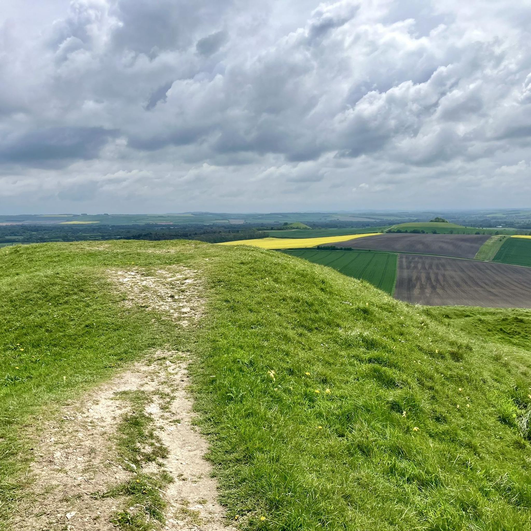
Mountain biking around Chirton offers diverse terrain within the Vale of Pewsey, situated between the Marlborough Downs and Salisbury Plain. The landscape features a distinct chalk slope, ancient trackways, and medieval strip lynchets, providing varied ground conditions for cycling. The area's mix of well-drained chalk and clay-with-flints soils creates different challenges and experiences for mountain bikers. The northern boundary of Chirton parish follows the River Avon, adding riparian landscapes to the natural attractions.
Best mountain bike trails around Chirton
- The…
Last updated: June 26, 2026
4.5
(2)
20
riders
55.7km
04:19
540m
540m
Moderate mountain bike ride. Good fitness required. Suitable for all skill levels.
5
riders
56.3km
04:39
670m
670m
Moderate mountain bike ride. Good fitness required. Advanced riding skills necessary.

Sign up for free
4
riders
Moderate mountain bike ride. Good fitness required. Suitable for all skill levels.
8
riders
27.1km
02:12
350m
350m
Moderate mountain bike ride. Good fitness required. Advanced riding skills necessary.
4.0
(1)
2
riders
31.4km
02:33
420m
420m
Moderate mountain bike ride. Good fitness required. Suitable for all skill levels.
Get access to more routes and recommendations from other explorers.
Sign up for free
Already have an account?
Our route recommendations are based on thousands of hikes, rides, and runs completed by other people on komoot.
Start today with a free account
Your next adventure awaits.
Login or Signup
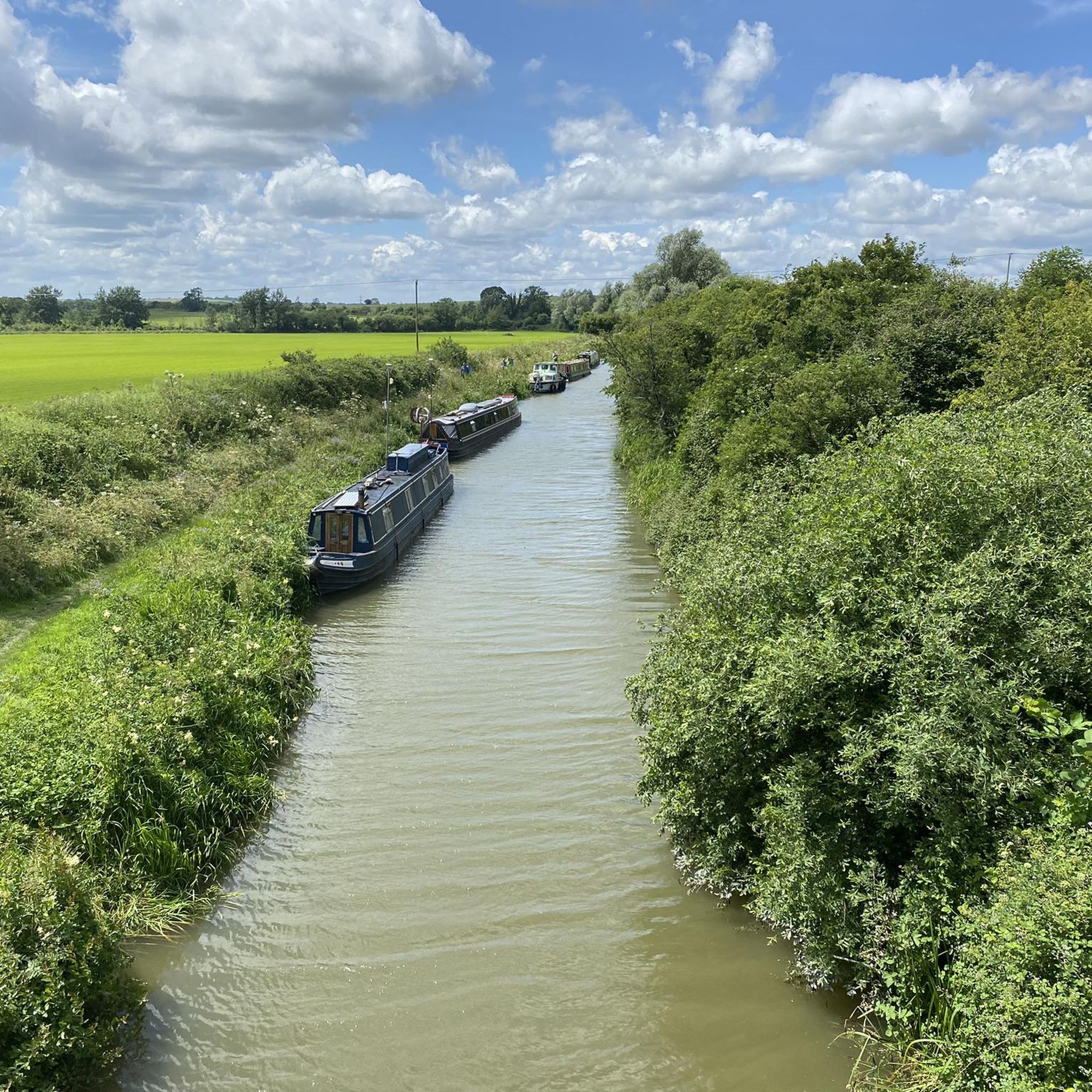
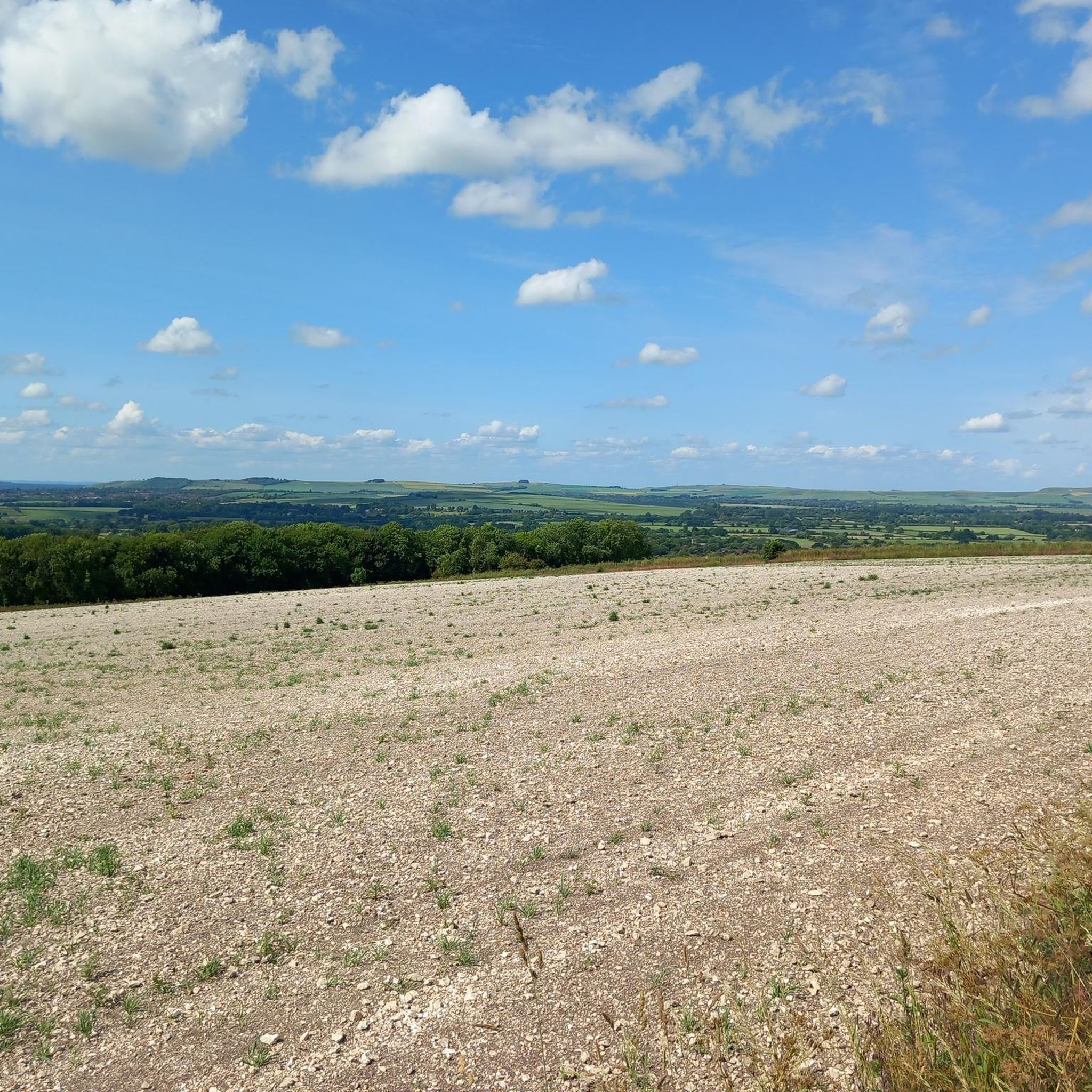
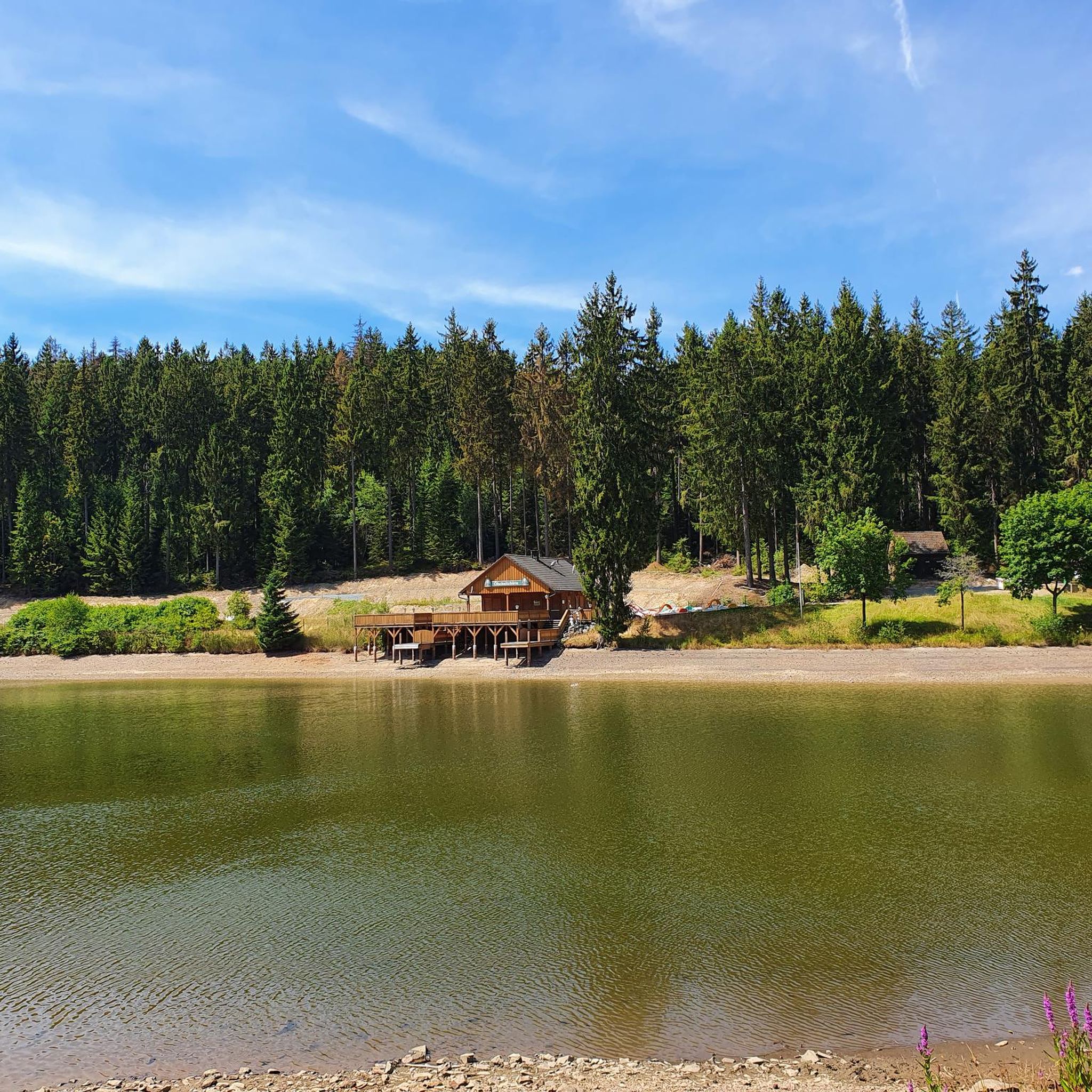
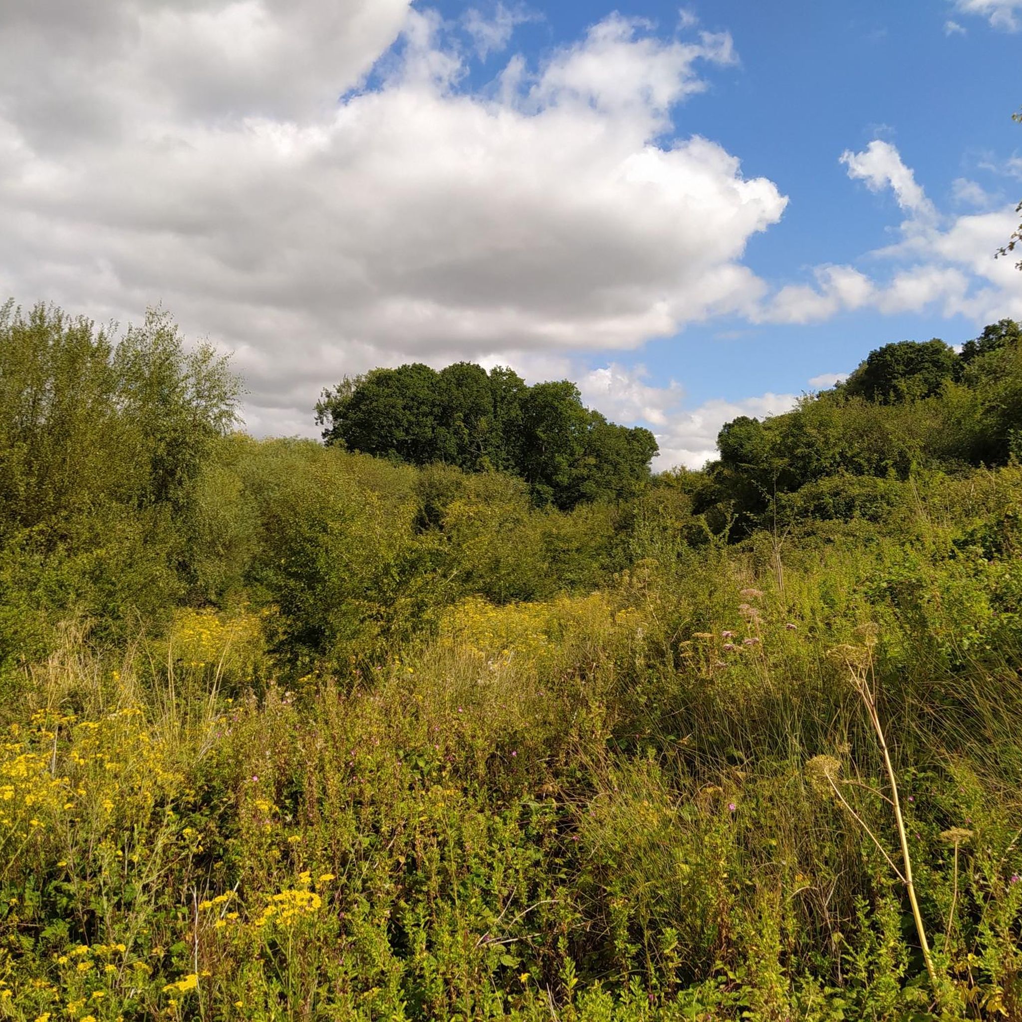
Tips from the Community

Directly behind REDHORN Vedette building. The path is a bridleway when the flags are down.
0
0


Take the small path just over the entrance road to Stonehenge, on the right This leads you right oast the stones and some lovely picture opportunities. It then goes over grass to a double gate beside the A303. You need to cross over the A303 to be able to ride safely up the hill on the pathway and then cross back over at the top to rejoin the gravel. Or simply cycle uo the grass verge as I did but this is a lot more sketchy. A fantastic ride and you are only 10 mins from the end.
0
0
Just a fabulous summer gravel ride, very highly recommended. Deep ruts in places and lots of gnarly, sharp, flint gravel. So strong tyres recommended. This is a ride where bike handling skills are important on some narrow/ rutted descents. Very steep hill 16% after Berwick St James Cannot recommended this ride highly enough, simply stunning.
0
0
Be aware that after Stonhenge the route takes you down hill on a grass path and you terminate at a double gate beside the A303. The route then indicates to go up the hill to the left apparently on the A303. However, I believe that if you cross over the A303 again ( traffic is pretty slow here usually but do exercise great caution). I think there is a foot path the other side of the A303 that you can ride on in safety up the hill before crossing back over to follow the track again I missed this foot path and rode on the verge, not as nice.
0
0
Fantastic summer ride. Highly recommended, just so beautiful on a warm sunny day. Navigation can be a little tricky but just use common sense. Such great views and such remote places. Really special. Also do stop at the lovely cafe at Berwick St James, a total surprise and a refreshment delight! This really is a great ride and one of the best that will stand out all summer. I used a hard tail mtb and would recommend this and quite tough tyres. As this is over a lot of pretty gnarly loose flint gravel which can give tyres a very hard time. Definitely carry spares and a pump. Great views of Stonehenge, couldn't believe the crowds and you want the little path just past the entrance road to the Stones not the entrance road. There is someone there usually to assist you. Cannot recommend this ride highly enough!. There is a steep hill just after Duck lane at Berwick St. James which tops out at 16% " Whitehill". Although the left hand fork on the approach leads to the same place.
0
0

This is can be a slight detour off the Imber range perimeter path . Requires a descent, and a subsequent ascent back to the perimeter path. Kahoot recommends, but we did not appreciate, if you’re short of puff, stay on the upper path.
0
0

Larkhill Camp – Eerie Order on the Edge of the Plain Larkhill Camp feels like riding through a live blueprint of military precision. This historic garrison town, perched on the northern edge of Salisbury Plain, isn’t your typical village stop — it’s a place where wide tarmac roads stretch between regimented rows of near-identical housing blocks, all arranged with deliberate symmetry. Founded in the late 19th century as an artillery training base, Larkhill is still an active military camp, home to the Royal Artillery. You’ll feel that presence in the design — everything is clean, uniform, and spaced out. There’s a peculiar quiet, even when the camp is busy, and it lends a kind of surreal calm to your ride through. While not a classic beauty spot, it’s fascinating in its own right — a moment of stark contrast between the ancient wildness of the Plain and the tightly ordered world of the MOD. It’s not uncommon to hear distant explosions or spot helicopters overhead. And just beyond, the landscape opens up again into chalk trails and flint-edged bridleways. 🚴♂️ Bikepacker Tip: Water and supplies are limited here — the camp isn’t set up for tourists — so fill up in nearby Durrington or Amesbury if you’re heading across the Plain. Watch for MOD signs, especially if venturing off-route. 📍 Highlight Type: Urban/Military Landmark 🌄 Surroundings: Military roads, open grassland, access to training areas 📷 Vibe: Surreal, stark, historically charged
2
0
Frequently Asked Questions
How many mountain bike trails are available around Chirton?
There are over 45 mountain bike trails available around Chirton. These routes cater to various fitness and skill levels, ranging from easy, mostly paved paths to more challenging excursions with significant elevation changes.
What kind of terrain and difficulty can I expect on mountain bike trails near Chirton?
Mountain biking around Chirton offers diverse terrain, including distinct chalk slopes, ancient trackways, and areas of the expansive Salisbury Plain. You'll encounter a mix of well-drained chalk and clay-with-flints soils, providing varied ground conditions. Routes range from easy, primarily paved surfaces to moderate and challenging trails involving unpaved segments and notable elevation gains. Approximately 17 easy routes and 31 moderate routes are available, with some challenging options that may require pushing your bike on steeper sections.
Are there any family-friendly mountain bike trails near Chirton?
Yes, Chirton offers several family-friendly options, particularly those with minimal elevation gain and mostly paved surfaces. An excellent choice is the Kennet and Avon Canal Towpath – Lansdowne Monument loop from Devizes, which is an easy ride suitable for all skill levels. The Wansdyke Path – Beacon Hill Summit loop from All Cannings also offers a moderate experience that can be enjoyed by families with good fitness.
What natural features and landmarks can I see along the mountain bike trails?
The trails around Chirton are rich in natural beauty and historical landmarks. You can explore the scenic Vale of Pewsey, ride along the River Avon, and witness medieval strip lynchets—terraced earthworks that are remnants of an ancient open field system. Notable natural monuments and viewpoints include Walkers Hill, Milk Hill, and Morgan's Hill. You might also spot the Alton Barnes White Horse and the Devizes White Horse carved into the hillsides.
Are there any circular mountain bike routes available?
Many of the mountain bike routes around Chirton are designed as loops, offering a convenient way to start and end your ride in the same location. Examples include the Stonehenge – Stonehenge loop from Market Lavington and the Salisbury Plain Perimeter Path – Stonehenge loop from Market Lavington, both providing extensive circular riding experiences.
What do other mountain bikers enjoy most about the trails in Chirton?
The mountain bike trails around Chirton are highly rated by the komoot community, with an average score of 4.5 stars from over 30 reviews. Riders often praise the diverse terrain, the historical byways, and the expansive open landscapes of Salisbury Plain. The variety of routes, from easy canal towpaths to challenging chalk downs, is also frequently highlighted.
Is Chirton a dog-friendly area for mountain biking?
Chirton's open landscapes and ancient trackways can be suitable for mountain biking with dogs. However, it's crucial to be aware of local leash laws, especially when traversing agricultural land or areas with livestock. Always keep your dog under control and clean up after them to ensure a positive experience for everyone.
What is the best time of year to go mountain biking in Chirton?
The best time for mountain biking in Chirton is generally during the drier months, from late spring to early autumn. The mix of chalk and clay-with-flints soils can become very muddy and challenging after heavy rain, particularly on unpaved sections. During these times, trails along the Kennet and Avon Canal Towpath, which are often paved, might be a more suitable option.
Are there places to eat or stay near the mountain bike trails?
While Chirton itself is a small village, the surrounding area offers options for refreshments and accommodation. You can find cafes and pubs in nearby towns and villages such as Devizes or Pewsey. Many routes pass through or near these settlements, providing opportunities for a break or an overnight stay.
Where can I find parking for mountain bike trails in Chirton?
Parking availability varies depending on the specific starting point of your chosen trail. Many routes begin from or pass through villages like Market Lavington, Urchfont, or Devizes, where public car parks or roadside parking might be available. It's advisable to check specific route details on komoot for recommended parking locations.
Can I reach the mountain bike trails by public transport?
Access to Chirton and its surrounding mountain bike trails by public transport is possible, though it may require some planning. Local bus services connect Chirton to larger towns like Devizes and Pewsey, which in turn have connections to regional transport networks. You may need to cycle a short distance from bus stops to reach specific trailheads.
Are there any permits required for mountain biking in the Chirton area?
Generally, no specific permits are required for mountain biking on public byways and bridleways in the Chirton area. However, always respect private land and stick to designated public rights of way. Some areas, particularly on Salisbury Plain, might have restricted access due to military training; always check local signage and official information before riding.
Most popular routes around Chirton
Most popular attractions around Chirton

Get inspired with the komoot mobile app


Explore more
Browse the best MTB trails in other regions.
