The best MTB trails around Durrington
4.1
(55)
245
riders
55
rides
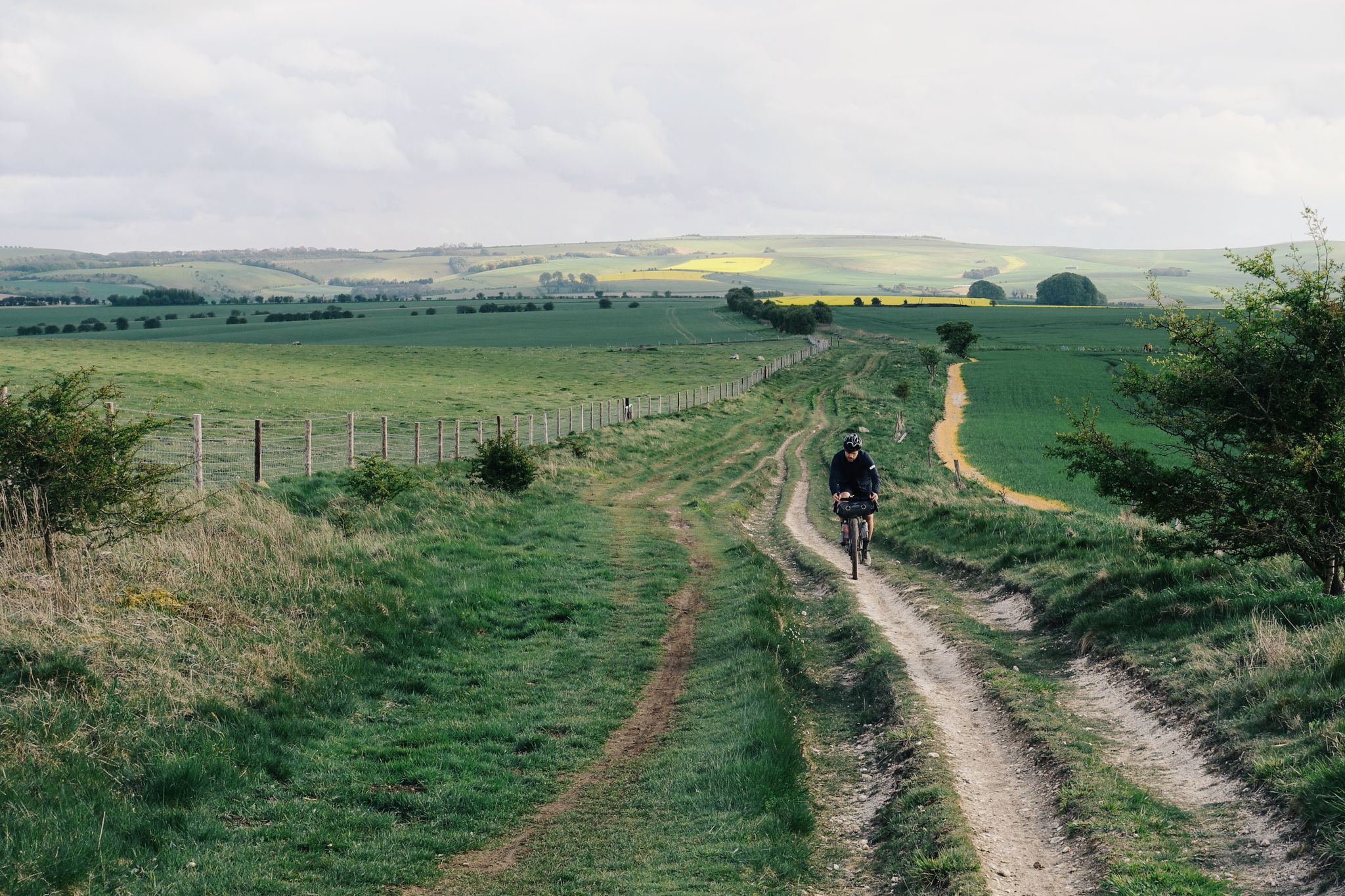
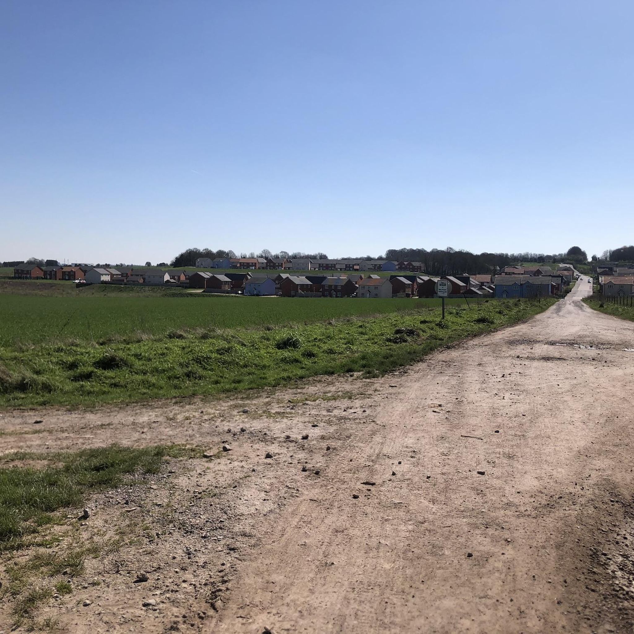
Mountain bike trails around Durrington are primarily found on the expansive Salisbury Plain, characterized by its open chalk downland and rolling hills. The landscape features a network of byways and bridleways, offering wide-open views and a sense of history with nearby ancient sites. This area provides varied terrain suitable for mountain biking, from relatively flat sections to gentle ascents and descents across the plains. The region's geology ensures firm, well-drained paths for much of the year.
Best mountain bike trails…
Last updated: September 30, 2026
4.9
(11)
34
riders
35.5km
02:47
340m
340m
Moderate mountain bike ride. Good fitness required. Advanced riding skills necessary.
12
riders
33.1km
02:36
360m
360m
Moderate mountain bike ride. Good fitness required. Suitable for all skill levels.

11
riders
36.6km
03:04
380m
380m
Hard mountain bike ride. Good fitness required. Advanced riding skills necessary. Some portions of the route may require you to push your bike.
11
riders
30.2km
02:26
240m
240m
Moderate mountain bike ride. Good fitness required. Suitable for all skill levels.
5
riders
51.9km
03:46
500m
500m
Moderate mountain bike ride. Good fitness required. Advanced riding skills necessary.
Get access to more routes and recommendations from other explorers.
Already have an account?
Our route recommendations are based on thousands of hikes, rides, and runs completed by other people on komoot.
Start today with a free account
Your next adventure awaits.

Other adventures around Durrington

Tips from the Community

impressive views of Stonehenge, the world-famous prehistoric monument
6
0


The Bulford Kiwi is a large depiction of a kiwi, carved in the chalk on Beacon Hill above the military town of Bulford on Salisbury Plain in Wiltshire, England. It was created in 1919 by soldiers of the New Zealand Expeditionary Force who were awaiting repatriation following the end of the First World War. It is one of the few hill figures in Wiltshire to be neither a white horse nor a military badge.
0
0

Directly behind REDHORN Vedette building. The path is a bridleway when the flags are down.
0
0

Can someone please be happy/laughing with me that Google Translate turns Amy's "henge and timber monument" into "Denkmal für Hühner 🐔" in German? - Great 😂😂😂
0
0

Take the small path just over the entrance road to Stonehenge, on the right This leads you right oast the stones and some lovely picture opportunities. It then goes over grass to a double gate beside the A303. You need to cross over the A303 to be able to ride safely up the hill on the pathway and then cross back over at the top to rejoin the gravel. Or simply cycle uo the grass verge as I did but this is a lot more sketchy. A fantastic ride and you are only 10 mins from the end.
1
0
Just a fabulous summer gravel ride, very highly recommended. Deep ruts in places and lots of gnarly, sharp, flint gravel. So strong tyres recommended. This is a ride where bike handling skills are important on some narrow/ rutted descents. Very steep hill 16% after Berwick St James Cannot recommended this ride highly enough, simply stunning.
0
0
Frequently Asked Questions
How many mountain bike trails are available around Durrington?
There are over 50 mountain bike trails around Durrington, primarily located on Salisbury Plain. These routes offer a variety of experiences, from easy rides to more challenging terrain.
What are the typical difficulty levels for mountain biking in Durrington?
The trails around Durrington cater to various skill levels. You'll find a good mix of routes, with 22 easy, 31 moderate, and 3 difficult trails. The terrain on Salisbury Plain generally features rolling hills and chalk downland, making it accessible for many riders.
Are there any family-friendly mountain bike trails in the Durrington area?
Yes, Durrington offers several easy mountain bike trails suitable for families. These routes typically follow well-maintained byways and bridleways across the open plains, providing a less technical and more enjoyable experience for all ages. Look for trails rated as 'easy' on komoot.
What kind of terrain can I expect on mountain bike trails around Durrington?
Mountain bike trails around Durrington are predominantly on the expansive Salisbury Plain. The terrain is characterized by open chalk downland and rolling hills, with a network of byways and bridleways. You can expect firm, well-drained paths for much of the year, offering wide-open views and a mix of relatively flat sections and gentle ascents and descents.
Are there mountain bike trails that offer views of Stonehenge?
Yes, some mountain bike trails provide excellent views of the iconic Stonehenge monument. For instance, the Stonehenge – Stonehenge loop from Durrington is a moderate 22.1-mile trail that offers views of Stonehenge across the open plains.
What are some notable landmarks or attractions I can see while mountain biking near Durrington?
Beyond Stonehenge, you can encounter other significant historical sites. The area features attractions like Woodhenge and the Cursus Barrows, which are ancient monuments scattered across Salisbury Plain, adding a historical dimension to your ride.
What is the best time of year to go mountain biking in Durrington?
The firm, well-drained paths of Salisbury Plain make mountain biking enjoyable for much of the year. Spring and autumn offer pleasant temperatures and vibrant scenery. While winter conditions can be cold, the chalk-based trails generally hold up well, though some sections might be muddier after heavy rain.
Are there any longer, more challenging mountain bike routes for experienced riders?
Yes, for experienced riders seeking a challenge, routes like the View of Salisbury Plain – Tank Crossing loop from Bulford offer more difficult sections and panoramic views over 22.7 miles. Another option is the Salisbury Plain Perimeter Path – Redhorn Hill Byway loop from Bulford, which is a moderate but longer 32.2-mile route.
What do other mountain bikers say about the trails in Durrington?
The mountain bike routes in Durrington are highly rated by the komoot community, with an average score of 4.1 stars from over 50 reviews. Riders often praise the expansive views, the sense of history, and the well-maintained byways and bridleways that make for enjoyable rides across Salisbury Plain.
Are there any loop mountain bike trails around Durrington?
Many of the mountain bike trails around Durrington are designed as loops, allowing you to start and finish at the same point. Examples include the St. Leonard's Church, Bulford – Tank Crossing loop from Durrington and the Tank Crossing – Old Marlborough Road Byway loop from Durrington, which are both moderate routes.
Where can I find parking for mountain bike trails near Durrington?
Parking is generally available at various access points around Salisbury Plain and near the villages surrounding Durrington. Many trailheads are accessible from public roads, and local villages often have designated parking areas. It's advisable to check specific route details on komoot for recommended starting points and parking information.
Most popular routes around Durrington
Most popular attractions around Durrington

Get inspired with the komoot mobile app


Explore more
Browse the best MTB trails in other regions.
