The best walks and hikes around Roydon
4.5
(80)
485
hikers
83
hikes
Hiking around Roydon offers a diverse landscape characterized by the River Stort and Stort Navigation, providing scenic waterside paths. The region is also closely associated with Epping Forest, an ancient woodland featuring varied terrain including meadows and open fields. Garnetts Wood and the Nazeing Triangle Nature Reserve contribute to the area's natural beauty, offering additional opportunities for exploring local wildlife and diverse flora.
Best hiking trails around Roydon
- The most popular hiking route is Heather Field – Wortham Ling Heath…
Last updated: July 2, 2026
3.0
(2)
8
hikers
10.3km
02:40
60m
60m
Moderate hike. Good fitness required. Easily-accessible paths. Suitable for all skill levels.
5.0
(1)
11
hikers
8.24km
02:06
30m
30m
Moderate hike. Good fitness required. Easily-accessible paths. Suitable for all skill levels.

Sign up for free
5.0
(1)
3
hikers
6.93km
01:47
30m
30m
Easy hike. Great for any fitness level. Easily-accessible paths. Suitable for all skill levels.
5.0
(2)
4
hikers
Easy hike. Great for any fitness level. Easily-accessible paths. Suitable for all skill levels.
2
hikers
3.02km
00:46
0m
0m
Easy hike. Great for any fitness level. Easily-accessible paths. Suitable for all skill levels.
Get access to more routes and recommendations from other explorers.
Sign up for free
Already have an account?
Our route recommendations are based on thousands of hikes, rides, and runs completed by other people on komoot.
Start today with a free account
Your next adventure awaits.
Login or Signup

Tips from the Community


The kitchen typically closes at hour before the cafe does so get here in plenty of time if you want to order food.
0
0

Katie bought the business in March 2024 and wants to grow its cycling visitors. It’s on the route and a sun trap the day we called. Check opening hours!
0
0

A small nature reserve of marshy woods and restored fenland. There is a wooden walkway through the wooded bits.
0
0

There are lots of cafes to refuel and relax in around Diss centre.
0
0

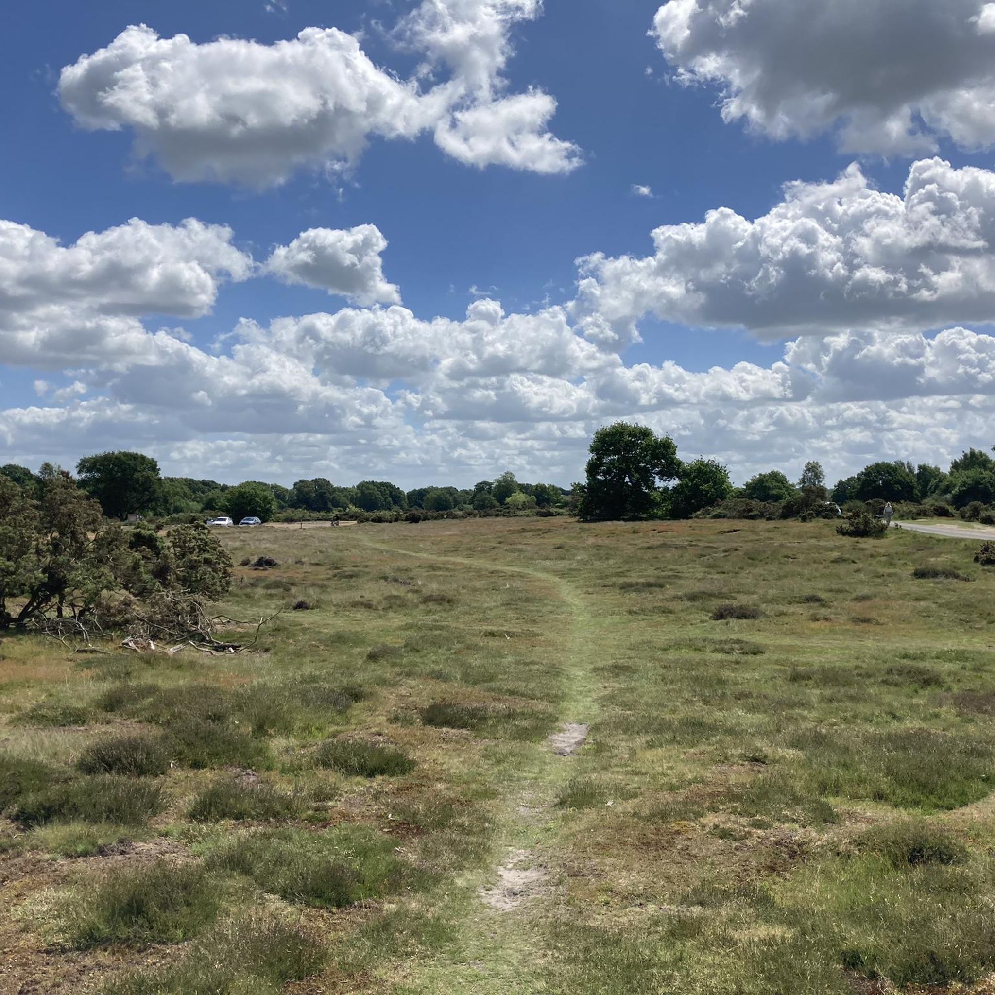
This small patch of lowland heath makes a dramatic change to the nearby Waveney Valley and its water meadows. Just south-west of the market town of Diss, rambling around this beautiful open access land is extremely pleasant and the Angles Way long-distance footpath cuts right through it.
0
0

Excellent bike friendly cafe. Good food, friendly staff, nice outdoor seating and decent bike parking.
0
0

Frequently Asked Questions
How many hiking trails are available around Roydon?
There are over 80 hiking trails around Roydon, offering a wide variety of options for different skill levels and preferences. You'll find everything from gentle riverside strolls to more challenging woodland paths.
Are there easy hiking trails suitable for beginners in Roydon?
Yes, Roydon offers plenty of easy hiking trails perfect for beginners or those looking for a relaxed walk. Over 40 routes are classified as easy, such as the 4.3-mile Wortham Ling – Wortham Ling loop from Diss, which takes about 1 hour 46 minutes to complete.
What kind of landscapes can I expect to see while hiking near Roydon?
Hiking around Roydon offers a diverse mix of landscapes. You'll encounter scenic waterside paths along the River Stort and Stort Navigation, extensive ancient woodlands of Epping Forest, and open countryside. Areas like Garnetts Wood and Nazeing Triangle Nature Reserve also provide opportunities to explore local wildlife and varied flora.
Are there any family-friendly walks in Roydon?
Absolutely. Many of Roydon's trails are suitable for families. The Angel Café – St Remigius Church, Roydon loop from Diss is an easy 3.9-mile route that takes just under 2 hours, offering a pleasant outing for all ages. Garnetts Wood also features nature trails, some of which are wheelchair-friendly, making it accessible for families with strollers.
Can I bring my dog on the hiking trails in Roydon?
Yes, many trails in and around Roydon are dog-friendly, allowing you to enjoy the outdoors with your canine companion. Always keep dogs under control, especially in areas with livestock or wildlife, and check for any specific local restrictions or lead requirements, particularly within nature reserves.
What are some notable natural features or landmarks to look out for on Roydon's trails?
Roydon's trails offer several interesting natural features and landmarks. You can explore the ancient woodlands of Epping Forest, enjoy views along the River Stort, and discover the diverse flora and fauna at Garnetts Wood. Nearby attractions include Wortham Ling and Wortham Ling Heath, both offering natural beauty.
Are there any circular walks available in Roydon?
Yes, circular walks are a popular option in Roydon. An example is the 1.9-mile Wortham Ling Heath – Heather Field loop from Royden Fen, which is an easy route taking about 45 minutes. The dedicated Roydon Country Walk, starting from the village green, is also designed as a circular route to explore local history and nature.
What is the best time of year to go hiking in Roydon?
Roydon offers enjoyable hiking experiences year-round. Spring brings blooming wildflowers, while autumn showcases vibrant foliage in Epping Forest. Summer is ideal for waterside walks along the River Stort. Be aware that some footpaths, especially the Roydon Country Walk, can be muddy after rain, so sturdy footwear is recommended during wetter seasons.
Where can I find parking for hiking trails in Roydon?
Parking is generally available in and around Roydon village. Roydon Marina Village can serve as a starting point for waterside walks, and there are often local car parks or street parking options near trailheads. Always check local signage for any restrictions or fees.
Are there any long-distance hiking paths that pass through the Roydon area?
Yes, part of the Harcamlow Way, a long-distance path approximately 140 miles long, passes through the Roydon area. This offers opportunities for more extensive hiking adventures, including a route from Roydon to Ware in Hertfordshire that features Moat Wood and the River Ash.
What do other hikers enjoy most about hiking in Roydon?
The area is highly rated by the komoot community, with an average score of 4.6 stars from over 70 reviews. Hikers often praise the diverse terrain, from serene riverside paths to ancient woodlands, and the variety of routes suitable for different ability levels. The natural beauty and opportunities for wildlife spotting are frequently highlighted.
Are there places to eat or drink near the hiking trails in Roydon?
Roydon village offers options for refreshments. You'll find local pubs and cafes where you can refuel after your hike. Roydon Marina Village also provides facilities that can be a convenient starting or ending point for your outdoor adventure.
Most popular attractions around Roydon

Get inspired with the komoot mobile app


Explore more
Browse the best Hikes in other regions.
