The best walks and hikes around Ballynacraig
4.1
(133)
907
hikers
50
hikes
Hiking around Ballynacraig features a network of trails primarily situated near Newry, offering a mix of riverside paths and routes exploring local parklands. The terrain is generally low-lying, with some routes including gentle ascents to small hills. Water features like the Newry River and Ship Canal are prominent, providing flat, accessible walking surfaces. The region's hiking trails are characterized by their varied lengths and moderate elevation changes.
Best hiking trails around Ballynacraig
- The most popular hiking route is Eisler Park…
Last updated: October 5, 2026
22
hikers
11.8km
02:58
10m
10m
Moderate hike. Good fitness required. Easily-accessible paths. Suitable for all skill levels.
17
hikers
8.27km
02:08
50m
50m
Moderate hike. Good fitness required. Easily-accessible paths. Suitable for all skill levels.

8
hikers
Easy hike. Great for any fitness level. Easily-accessible paths. Suitable for all skill levels.
5
hikers
3.34km
00:51
10m
10m
Easy hike. Great for any fitness level. Easily-accessible paths. Suitable for all skill levels.
7
hikers
3.78km
00:58
20m
20m
Easy hike. Great for any fitness level. Easily-accessible paths. Suitable for all skill levels.
Get access to more routes and recommendations from other explorers.
Already have an account?
Our route recommendations are based on thousands of hikes, rides, and runs completed by other people on komoot.
Start today with a free account
Your next adventure awaits.

Tips from the Community

De An Bealach Glas (The Greenway) is a stunning, traffic-free greenway that connects Newry to the monumental Victoria Lock. This 6-kilometre-long 'green route' takes you along the tidal river Clanrye and the sea canal, with the impressive peaks of the Mourne Mountains to your left and Cooley Mountains to your right.
6
0
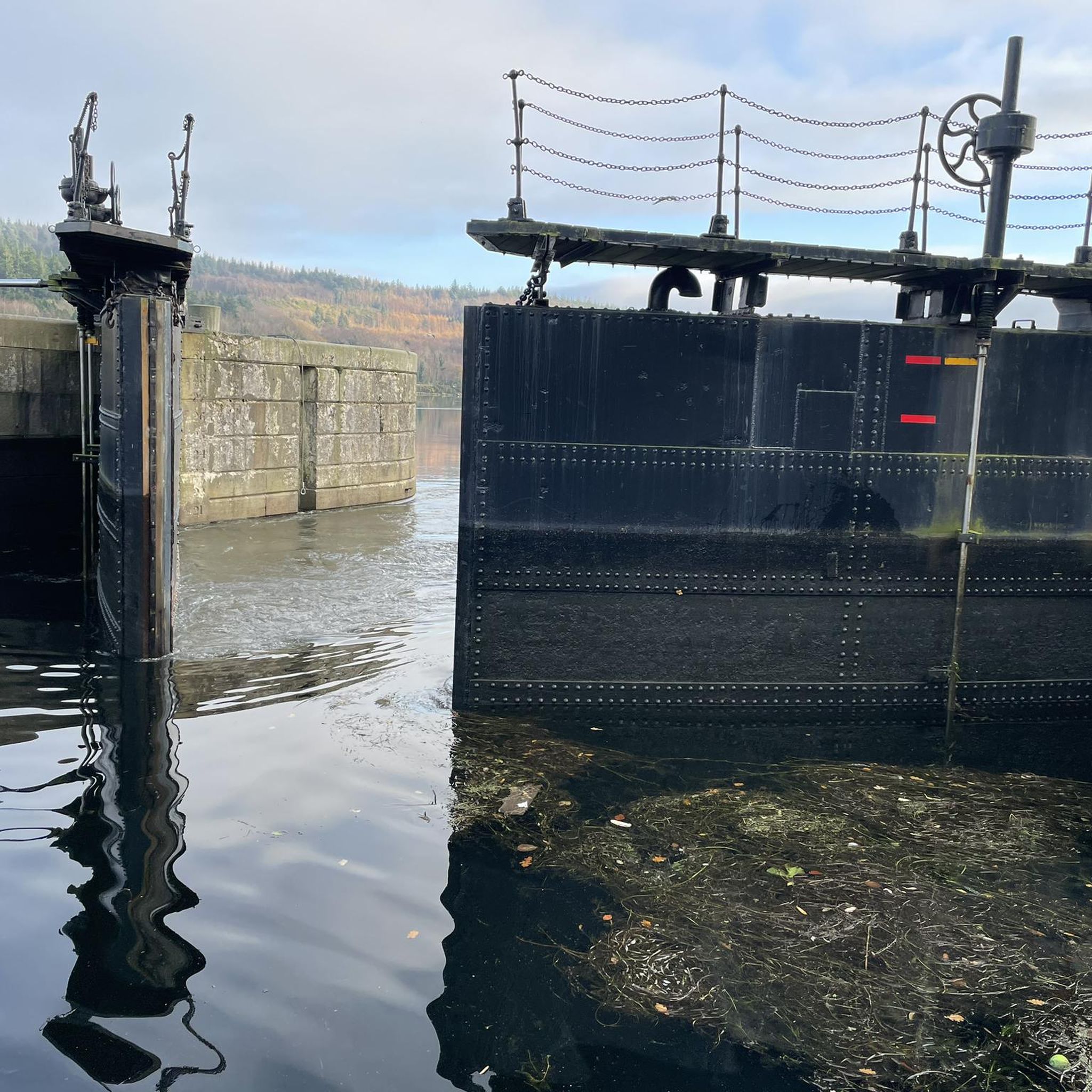
Once you leave the city of Newry behind, you cycle towards tranquility on An Bealach Glas, also known as the Carlingford Lough Greenway. This flat, smoothly asphalted path follows the banks of the canal and offers spectacular views of the river's mudflats along the way, where you can spot numerous wading birds and sometimes even a stray seal. The route is a true sensory experience: the salty sea air blows towards you while the mountains seem to get closer and closer. The absolute endpoint of this section is the historic Victoria Lock, an impressive lock complex from 1850 that marks the transition from the canal to the open waters of Carlingford Lough. It is the perfect place to get some fresh air and enjoy the maritime dynamics before continuing your journey to the coast.
6
0
De An Bealach Glas (The Greenway) is a beautiful, traffic-free cycle path connecting Newry to the monumental Victoria Lock. This 6-kilometer-long 'green route' takes you along the tidal river Clanrye and the sea canal, with the impressive peaks of the Mourne Mountains to your left and Cooley Mountains to your right.
5
0
As you enter Newry via the canal route, you are greeted by an impressive tribute to the fallen: the Newry War Memorial, marked by an authentic 25-pounder gun. This artillery piece, an icon of World War II, symbolizes the courage and sacrifice of the local people during global conflicts. The Gun: It is an Ordnance QF 25-pounder, the main British field gun of World War II, known for its versatility and mobility.
6
0

The Carlingford Lough Greenway has a special atmosphere as you walk along this section of Newry. With the Newry Ship Canal to your left and the Newry River to your right, you're in the middle of two worlds. The calm waters of the canal reflect the sky, making the surroundings seem almost like a backdrop, while the riverbank on the other side is lush with greenery and wild flowers. The narrow path takes you past flowering gorse and you can smell the scent of the vegetation in the air. It's a route that has its charms in every season, whether it's clear skies or when grey clouds hang low and make the water seem almost mystical. The Greenway is perfect for a leisurely stroll or a leisurely bike ride, enjoying being close to nature - an ideal place to clear your head.
1
0

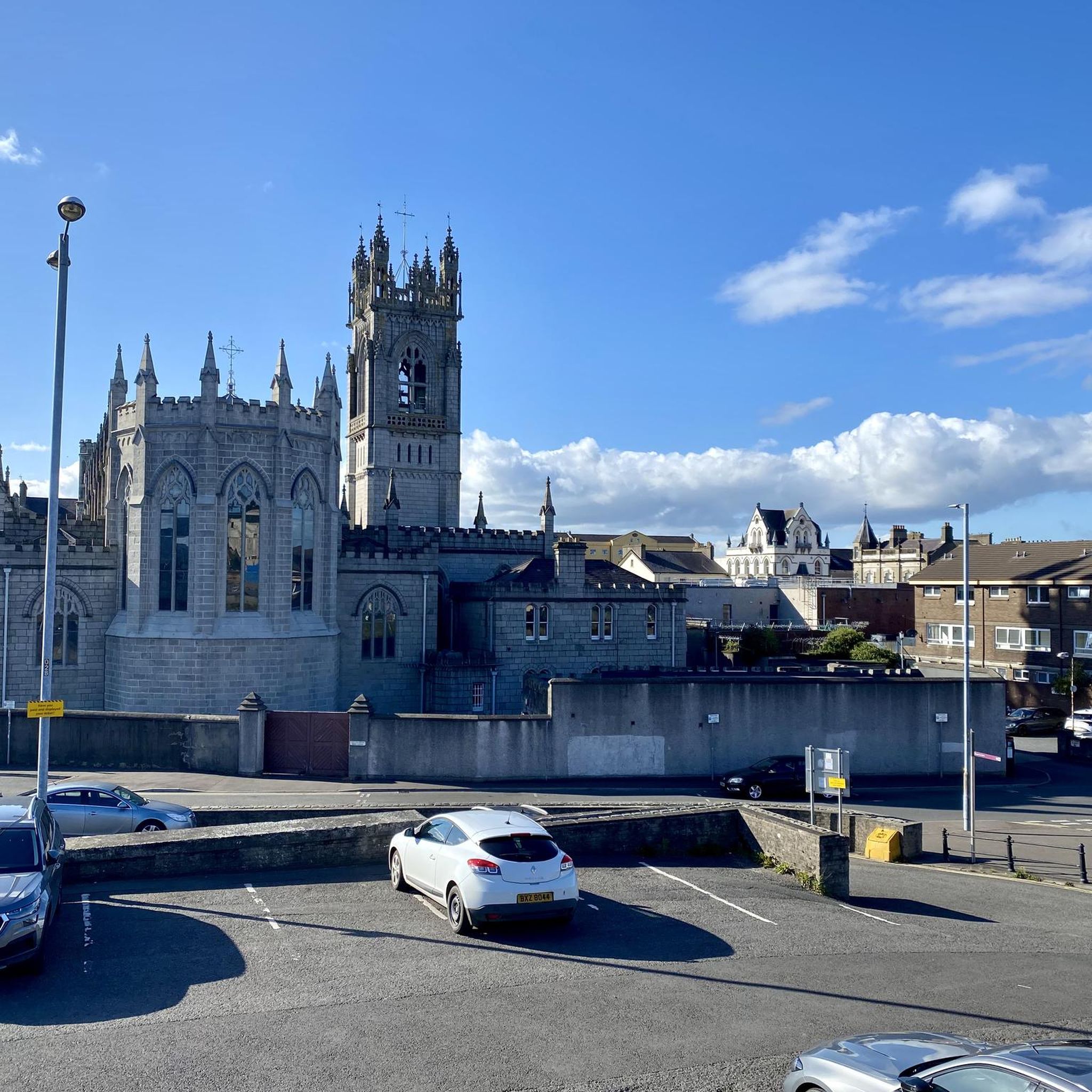
This is an impressive section of the Carlingford Lough Greenway as you arrive in Newry. The feeling is incredible as you walk along a path where on one side you have the Newry Ship Canal, and on the other, the Newry River.
1
0
Unique landscape experiences await on the 423 m high Camlough Mountain, a mysterious hill near Newry that straddles the border between Counties Armagh and Down. As your feet trace the path of the mountain, stories and myths from times past envelop you and seem to float in the air of Northern Ireland. With every meter of altitude you leave behind, a panorama that is second to none unfolds before your eyes. The summit of Camlough Mountain is not only the highest point on this hike, but also a magical place to pause. Here, where the wind carries stories from distant places, you will have a view that will expand your heart. The majestic Cooley Mountains stretch like sleeping giants on the horizon. Sparkling Carlingford Lough reflects the sky and tells of ancient legends. And in the distance Slieve Martin greets, proud and unwavering.
2
0

Beautiful path surrounded by water on both sides. Incredible way to get into Newry.
1
0
Frequently Asked Questions
How many hiking trails are available around Ballynacraig?
There are over 50 hiking routes in the Ballynacraig area, offering a diverse range of experiences. These include riverside paths, urban parkland strolls, and routes with views of the surrounding countryside.
Are there easy hikes suitable for beginners or families in Ballynacraig?
Yes, Ballynacraig offers many easy routes perfect for a relaxed outing or family walk. Nearly half of the trails, 28 in total, are graded as easy. A great option is the Newry River loop from Newry, which provides flat walking along the river.
What kind of natural attractions can I see while hiking near Ballynacraig?
The region boasts several natural attractions. You can explore areas like Slieve Gullion Summit or discover serene spots like Calliagh Beara Lough. The trails often feature water elements such as the Newry River and Ship Canal.
Are there any more challenging or advanced hiking routes in the area?
For those seeking a more challenging experience, Ballynacraig has 23 moderate routes. The Summit of Ring of Gullion – Ballymacdermot Court Tomb loop from Newry is a notable option, leading through varied terrain with a significant ascent.
Can I find circular walking routes around Ballynacraig?
Many of the trails around Ballynacraig are designed as loops, allowing you to start and end at the same point. For example, the popular Eisler Park loop from Newry is a circular route that follows the Newry River and explores local park areas.
What is the best time of year to go hiking in Ballynacraig?
Ballynacraig's trails are enjoyable throughout much of the year. Spring and autumn offer pleasant temperatures and beautiful scenery. Summer is ideal for longer days, while some routes, particularly the flatter riverside paths, can be suitable for winter walks, though conditions should always be checked.
Are there any historical sites or landmarks to discover on the trails?
Yes, the area around Ballynacraig has historical points of interest. You might encounter sites like the Druids' Circle in Ravensdale Forest or the ancient Ballymacdermot Court Tomb, which is part of a longer loop trail.
What do other hikers say about the trails in Ballynacraig?
The hiking trails in Ballynacraig are highly regarded by the komoot community, with an average rating of 4.3 stars from over 100 reviews. Hikers often praise the varied terrain, accessible riverside paths, and the scenic views of the surrounding countryside.
Are there any trails that are particularly good for spotting wildlife?
While specific wildlife sightings vary, trails along the Newry River and through parklands offer opportunities to observe local birdlife and small mammals. The more natural areas, especially around Slieve Gullion, may provide a chance to see diverse flora and fauna.
Are there any hidden gems or less-known trails worth exploring?
Beyond the well-known routes, exploring the wider network of trails can reveal quieter paths. Consider the Newry Ship Canal Fountain – War Memorial Cannon loop from Ballybot for a shorter, less crowded urban walk with historical elements.
Is it possible to reach the trailheads using public transport?
Many routes in Ballynacraig start from Newry, which is a central hub. You can access trailheads from locations like Newry Train Station, making public transport a viable option for reaching several starting points. For example, the Newry Train Station – Newry Ship Canal Fountain loop from Newry begins directly from the station.
Are there any lakes or bodies of water to visit near the hiking routes?
Yes, the region features several beautiful lakes. You can find tranquil spots like Camlough Lake or Bessbrook Pond, which offer scenic views and opportunities for relaxation near the trails.
Most popular attractions around Ballynacraig

Get inspired with the komoot mobile app


Explore more
Browse the best Hikes in other regions.
