The best MTB trails around plan d'eau de Michelbach
4.4
(527)
2,888
riders
237
rides
Mountain bike trails around Plan d'eau de Michelbach are situated in the Haut-Rhin department of France, offering diverse terrain for mountain biking. The area features a mix of forests, open fields, and views of the Vosges mountains, including peaks like Rossberg and Grand Ballon. While the immediate lake path is for walkers, the broader Thann-Cernay region provides a network of dedicated mountain biking routes. The landscape includes varied elevation changes, with routes traversing small villages and the impressive Michelbach Dam.
…Last updated: October 11, 2026
3.6
(5)
22
riders
32.2km
02:44
590m
590m
Hard mountain bike ride. Good fitness required. Advanced riding skills necessary. Some portions of the route may require you to push your bike.
4.9
(16)
16
riders
43.9km
04:08
1,120m
1,120m
Hard mountain bike ride. Very good fitness required. Advanced riding skills necessary.

5.0
(1)
5
riders
37.9km
03:07
740m
740m
Moderate mountain bike ride. Good fitness required. Advanced riding skills necessary.
3.0
(4)
4
riders
12.4km
01:02
210m
210m
Easy mountain bike ride. Great for any fitness level. Suitable for all skill levels.
4.8
(14)
12
riders
28.4km
02:04
150m
150m
Moderate mountain bike ride. Good fitness required. Suitable for all skill levels.
Get access to more routes and recommendations from other explorers.
Already have an account?
Our route recommendations are based on thousands of hikes, rides, and runs completed by other people on komoot.
Start today with a free account
Your next adventure awaits.

Tips from the Community

The Col du Hunsrück (748 m) is a quiet and wooded pass above Willer-sur-Thur. The steady climb and beautiful nature make this a pleasant classic in the southern Vosges, with connections to both the Thur and Dollervallei valleys.
4
0

Hagendorn Spring The Hagendorn spring near Burnhaupt-le-Bas is a very old and particularly abundant spring. Its name has been documented as a field name since 1412. The name “Hagendorn” probably refers to a place overgrown with hawthorn. The place name Burnhaupt is also likely connected to the old word for “spring” or “well”. The spring gained particular significance for the history of the village during the First World War. After the front stabilized in Upper Alsace, the German-French front ran approximately along the line Cernay – Pont d’Aspach – Ammerzwiller. East of and in the vicinity of this front line, German troops erected numerous concrete shelters, observation posts, and artillery positions. German fortifications were also built at the Hagendorn spring. Traces of the fortification from that time can still be seen there today, including concrete components. The spring was thus part of a larger military positional system that the German troops used during trench warfare. Numerous other shelters and observation posts from this period can be discovered along the current Sentier des Bunkers. The spring itself was re-cased or redesigned in 1931. The current structure partially conceals the remains of the wartime fortification preserved underneath. Thus, the Hagendorn spring connects two very different aspects of the village's history: centuries-old water supply and the military landscape of the First World War. Today, the spring is Station 18 of the Sentier des Bunkers, an approximately nine-kilometer-long historical circular trail through the former front landscape of Burnhaupt-le-Bas. https://burnhaupt-le-bas.fr/sentier-des-bunkers/?utm_source=chatgpt.com
0
0

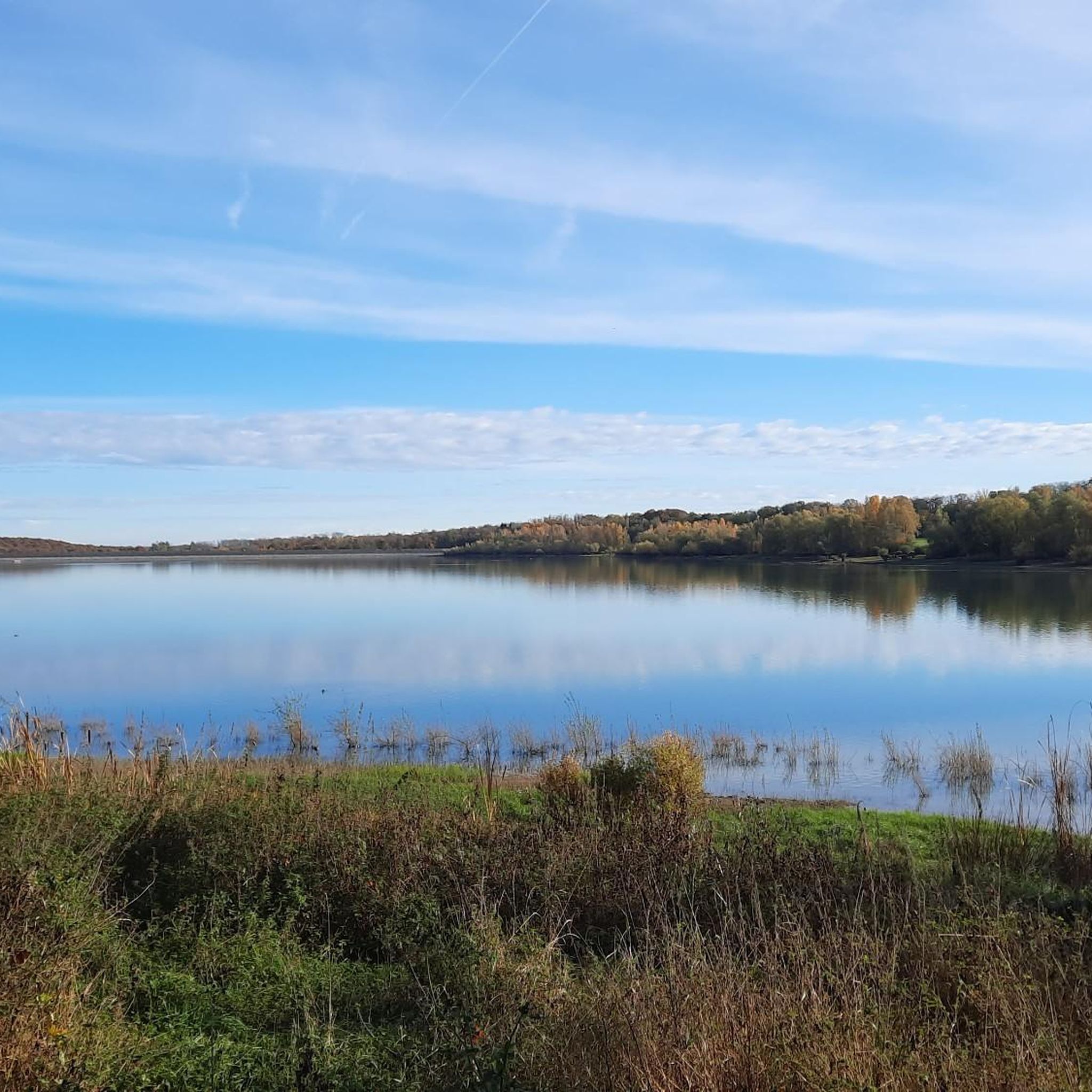
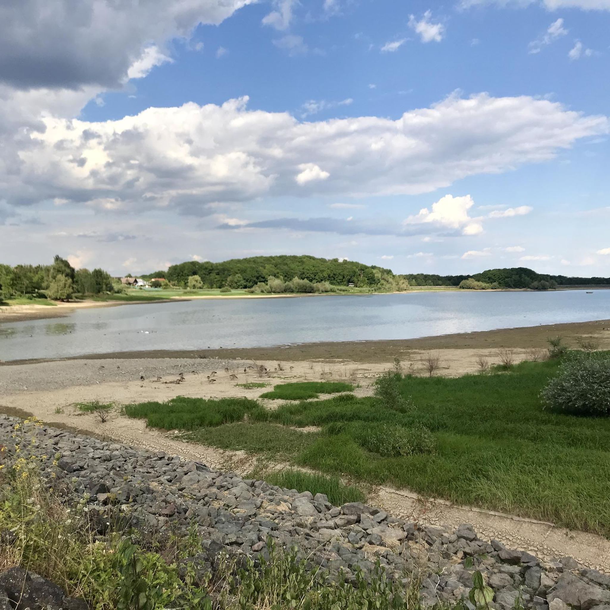
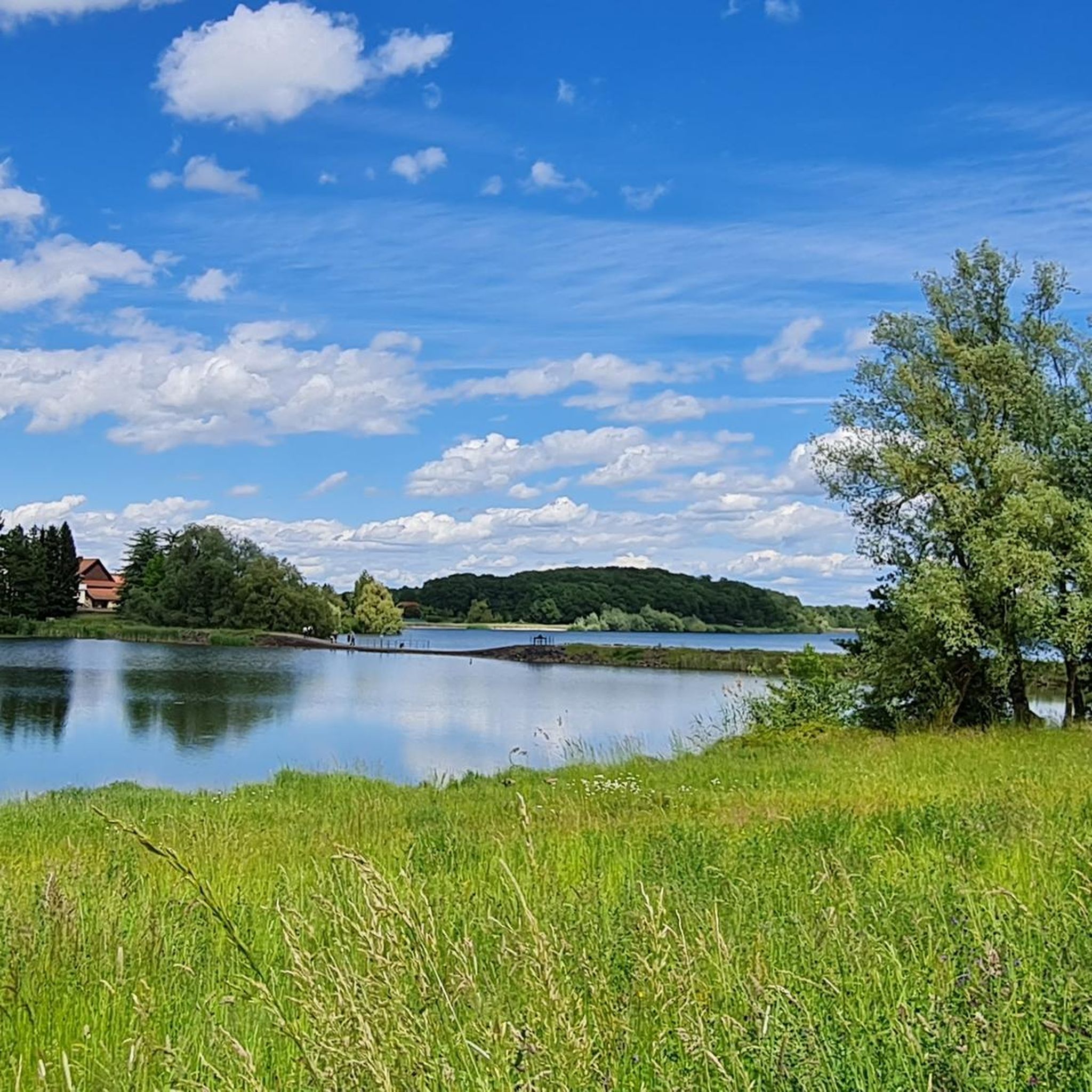
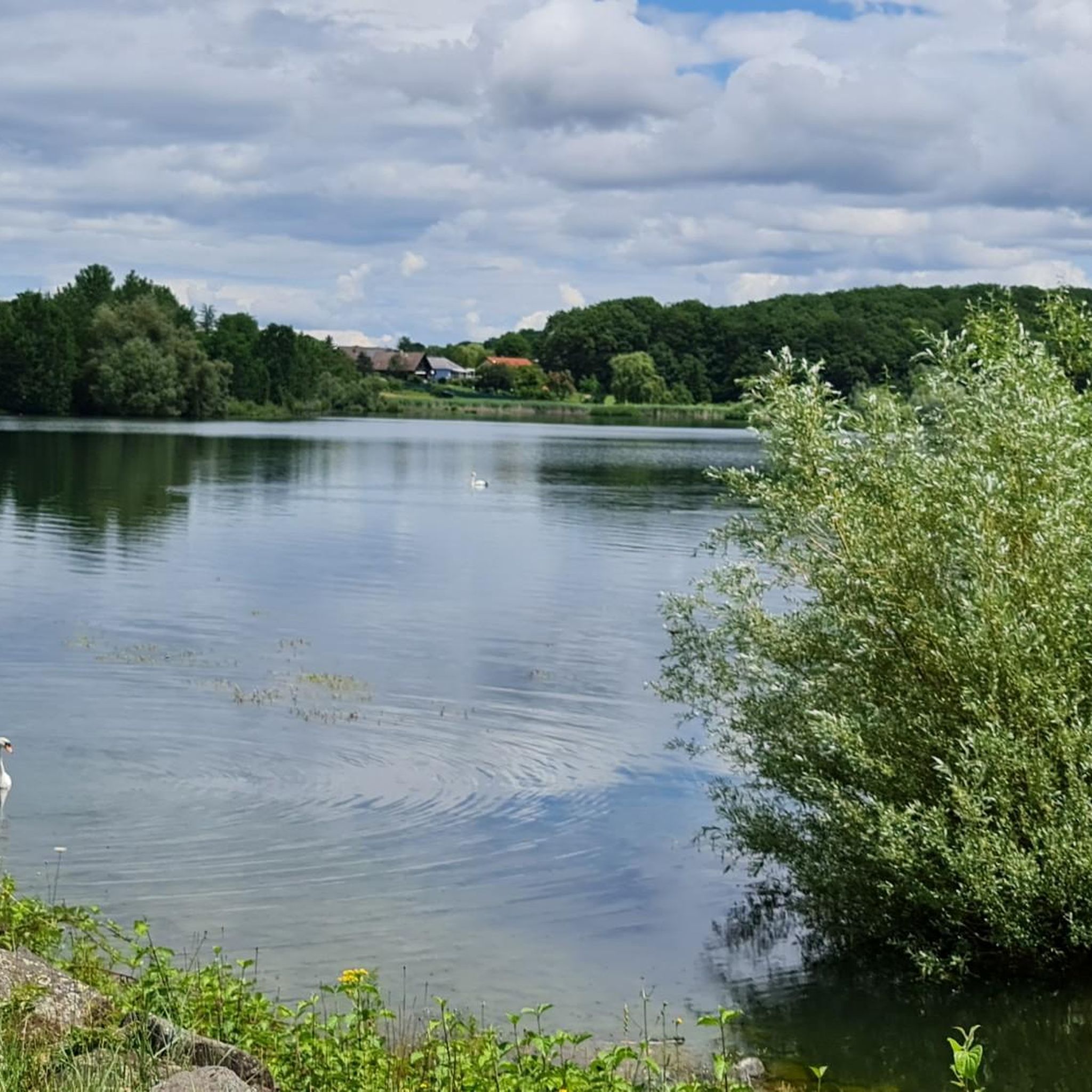
the Michelbach lake is a place where you can stop for a picnic during hikes or bike rides
0
0

This old chapel was erected after the French Revolution on the old path to Thann and fell into disrepair over time. In 1932, the community decided to rebuild it. The current small building has a simple nave, an open porch, and a small bell tower with a bell. In front of the chapel stands a statue of the Virgin Mary, which underscores the character of the place as a pilgrimage and devotional site. The chapel is dedicated to the "Mother of God of Perpetual Help" and belongs to the typical small religious monuments of southern Alsace.
1
0


Beautiful walk around Lake Michelbach, allowing you to discover the dam and the nature reserve.
0
0

Beautiful little town, nice for having a drink on a terrace.
1
0

We are almost never on the roads and always on cycle paths. Nature is the great highlight of the hike.
2
0
Frequently Asked Questions
How many mountain bike trails are available around Plan d'eau de Michelbach?
The Plan d'eau de Michelbach area offers a wide selection of mountain bike trails, with over 250 routes available for exploration. These routes cater to various skill levels, ensuring there's something for everyone.
What are the different difficulty levels for mountain bike trails in the Plan d'eau de Michelbach area?
You'll find a good mix of difficulty levels. There are 63 easy trails, 143 moderate trails, and 46 difficult trails, providing options for beginners to experienced riders. For example, the Chapel of Rammersmatt – memorial loop from Aspach-Michelbach is an easy route, while the Michelbach Dam – Michelbach Lake loop from Aspach-Michelbach is considered difficult.
Are there any restrictions for mountain biking directly around Plan d'eau de Michelbach lake?
Yes, the immediate path around Plan d'eau de Michelbach lake is reserved for walkers and hikers to preserve the tranquility of the nature reserve. However, the broader Thann-Cernay region, which includes Michelbach, boasts an extensive network of dedicated mountain biking circuits in the surrounding areas.
What kind of terrain and landscapes can I expect on mountain bike trails near Plan d'eau de Michelbach?
The terrain is quite varied, featuring dense woodlands, open fields, and rolling hills. You can expect to ride through small villages, past other ponds, and alongside the impressive Michelbach Dam. Many routes offer splendid views of the Vosges mountains, including peaks like Rossberg, Thannerhubel, Markstein, and Grand Ballon.
Are there any circular mountain bike routes in the Plan d'eau de Michelbach region?
Yes, many of the mountain bike trails in the area are designed as loops. For instance, the Michelbach Dam – Hochbourg Cabin loop from Michelbach is a popular moderate route, and the Sentheim Train Station – Michelbach Dam loop from Lotissement Chambrun offers a longer circular experience.
What are some notable landmarks or natural features I might see along the mountain bike trails?
Beyond the scenic landscapes, you might encounter the Michelbach Dam and the Michelbach Lake itself (from a distance, as biking is restricted directly around it). The area is also known for its rich birdlife, with an ornithological observatory near the lake, and offers views of the Vosges mountains.
Is the Plan d'eau de Michelbach area suitable for family-friendly mountain biking?
While the immediate lake path is for walkers, the broader region offers mountain biking circuits ranging from easy to difficult. You can find easier routes that are suitable for families, allowing you to enjoy the natural beauty without overly challenging terrain. Look for trails marked as 'easy' in the komoot app.
What is the best time of year for mountain biking around Plan d'eau de Michelbach?
The region is generally pleasant for mountain biking during spring, summer, and autumn. The varied terrain, including forests, provides shade during warmer months, and the views of the Vosges mountains are beautiful in all seasons. Always check local weather conditions before heading out.
Where can I find parking for mountain biking in the Plan d'eau de Michelbach area?
Parking facilities are available in the vicinity of Plan d'eau de Michelbach and in nearby villages like Aspach-Michelbach and Michelbach, which serve as common starting points for many routes. Specific parking information is often detailed on individual komoot tour pages.
What do other mountain bikers enjoy most about the trails in Plan d'eau de Michelbach?
The area is highly rated by the komoot community, with an average score of 4.4 stars from over 370 reviews. Reviewers often praise the diverse terrain, the quiet woodlands, and the expansive views of the Vosges mountains. Many appreciate the network of trails that cater to different ability levels.
Are there options for electric bike rentals in the region?
Yes, electric bike rentals are available in the broader Thann-Cernay region. This can be a great option for exploring the area's extensive network of bike paths, especially if you're looking to cover more ground or tackle some of the more challenging climbs with assistance.
Most popular routes around plan d'eau de Michelbach
Most popular attractions around plan d'eau de Michelbach

Get inspired with the komoot mobile app


Explore more
Browse the best MTB trails in other regions.
