The best gravel rides around plan d'eau de Michelbach
4.5
(26)
350
riders
45
rides
Gravel biking around plan d'eau de Michelbach offers diverse terrain in the Haut-Rhin region of France. The area features an artificial lake surrounded by a mix of forests, meadows, and orchards. While trails immediately around the lake are relatively flat, the region includes hilly sections and provides views of the distant Vosges mountains. Routes often combine paved roads, dirt roads, and trails, catering to various skill levels.
Best gravel bike trails around plan d'eau de Michelbach
- The most popular gravel…
Last updated: October 6, 2026
4.0
(1)
6
riders
27.0km
01:53
330m
330m
Moderate gravel ride. Good fitness required. Mostly paved surfaces. Suitable for all skill levels.
6
riders
26.5km
01:52
160m
160m
Moderate gravel ride. Good fitness required. Mostly paved surfaces. Suitable for all skill levels.

4
riders
22.6km
01:37
280m
280m
Moderate gravel ride. Good fitness required. Mostly paved surfaces. Suitable for all skill levels.
5.0
(1)
18
riders
74.2km
05:09
1,300m
1,300m
Hard gravel ride. Very good fitness required. Mostly paved surfaces. Suitable for all skill levels.
4.0
(1)
6
riders
27.4km
01:55
370m
360m
Moderate gravel ride. Good fitness required. Mostly paved surfaces. Suitable for all skill levels.
Get access to more routes and recommendations from other explorers.
Already have an account?
Our route recommendations are based on thousands of hikes, rides, and runs completed by other people on komoot.
Start today with a free account
Your next adventure awaits.
Tips from the Community

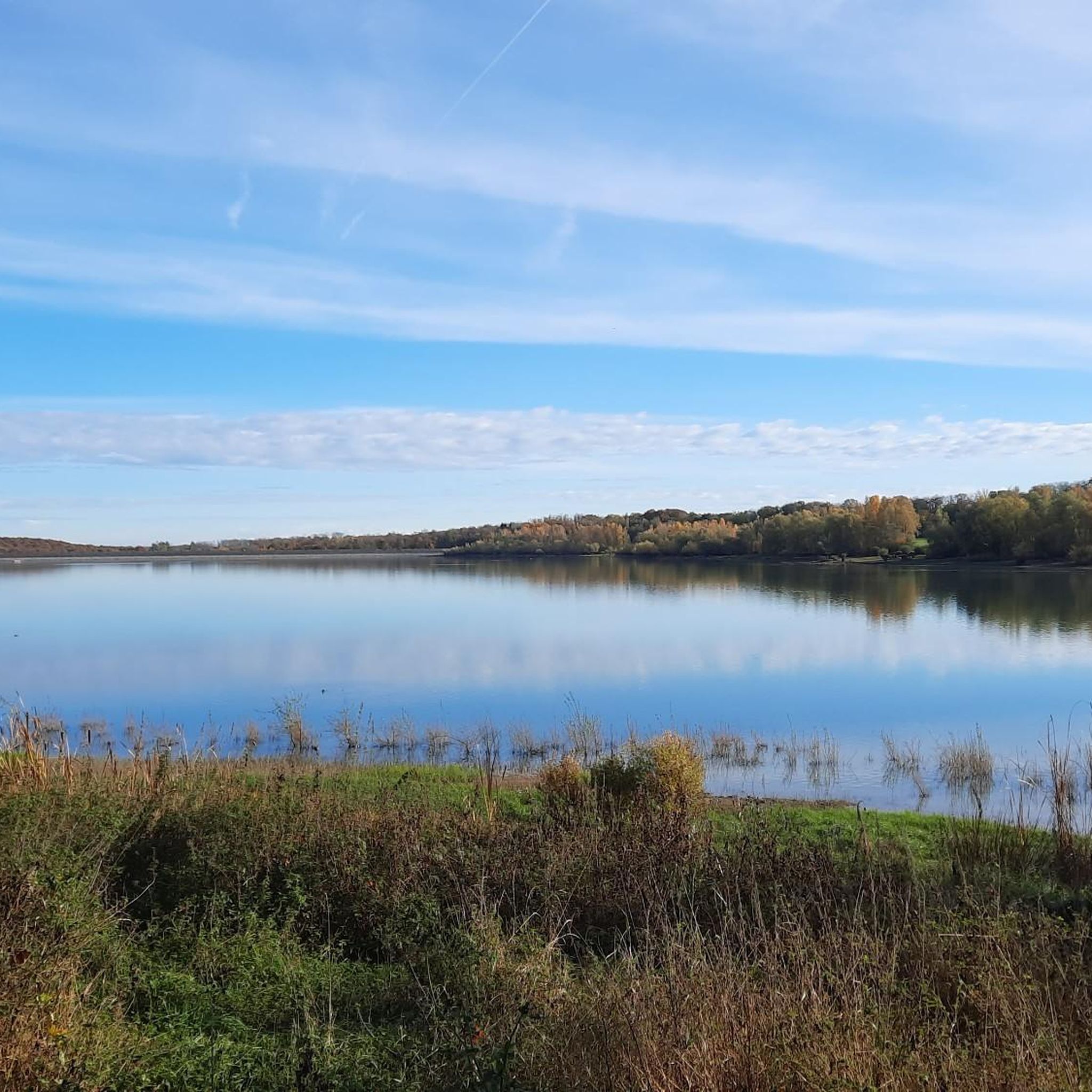
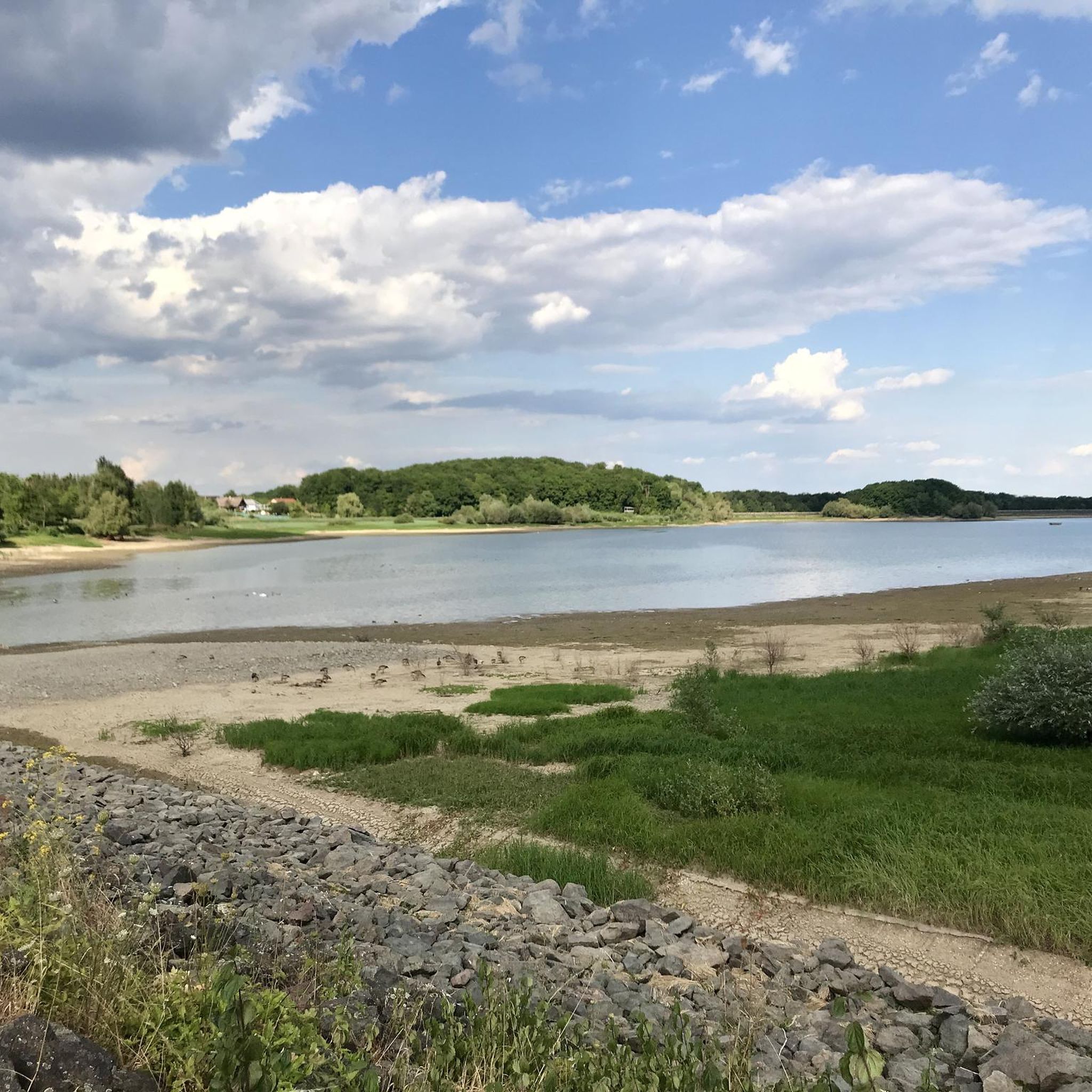
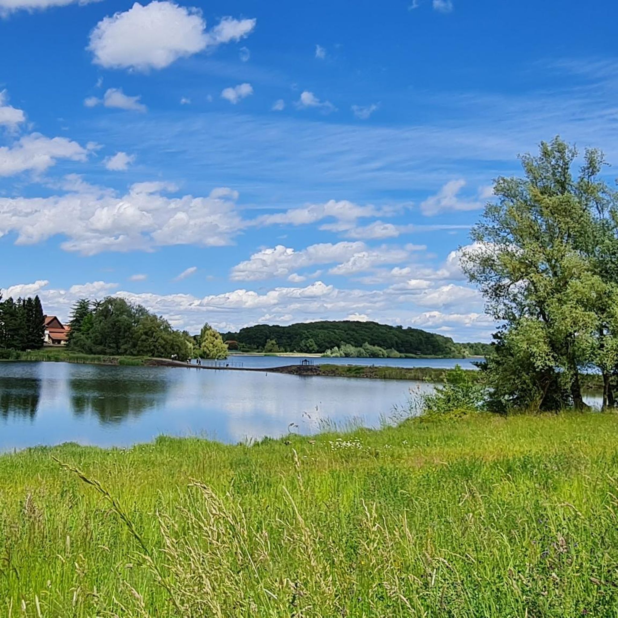
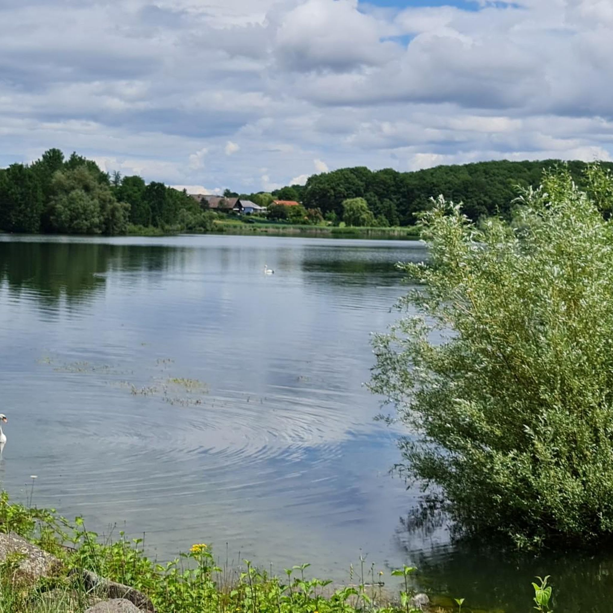
the Michelbach lake is a place where you can stop for a picnic during hikes or bike rides
0
0

This old chapel was erected after the French Revolution on the old path to Thann and fell into disrepair over time. In 1932, the community decided to rebuild it. The current small building has a simple nave, an open porch, and a small bell tower with a bell. In front of the chapel stands a statue of the Virgin Mary, which underscores the character of the place as a pilgrimage and devotional site. The chapel is dedicated to the "Mother of God of Perpetual Help" and belongs to the typical small religious monuments of southern Alsace.
1
0

beautiful view there at the spot
0
0

Great ascent route, away from the main roads, lots of forest = shade, moderate, steady climb between 6-9.5%, asphalt, few but great views
0
0


The climb of the Col Amic from Soultz-Haut-Rhin is a beautiful and accessible climb in the Vosges, ideal for cyclists who love regularity and nature. The climb is 12.1 km long, bridges 559 meters of altitude and has an average gradient of 4.6%. The route winds through a quiet, wooded area and offers beautiful views of the Alsatian plain along the way. The summit is at 829 meters and forms a junction towards the Grand Ballon or the Hartmannswillerkopf massif. Thanks to its even profile, this climb is suitable for both recreational cyclists and athletic climbers.
8
0
Here you have a view of the farm-inn and a beautiful view over the Alsace plain.
5
0
Frequently Asked Questions
Are there many gravel bike trails around Plan d'eau de Michelbach?
Yes, the broader region around Plan d'eau de Michelbach offers a good selection of gravel biking opportunities. There are over 40 gravel bike trails available, catering to various skill levels from easy to difficult.
What kind of terrain can I expect on gravel bike trails in this area?
The gravel bike trails around Plan d'eau de Michelbach feature diverse terrain, including hilly sections, forests, and scenic views towards the Jura Mountains and Vosges peaks. You'll encounter a mix of asphalt roads, dirt roads, and natural trails.
Are there any easy gravel bike routes suitable for beginners?
Yes, there are several easy gravel routes. For instance, the Michelbach Dam – Michelbach Dam loop from Aspach-le-Bas is an easy 26.1 km path with gentle elevation changes, perfect for those new to gravel biking or looking for a relaxed ride.
What are the restrictions for gravel biking directly around the Plan d'eau de Michelbach lake?
The immediate circuit around the Plan d'eau de Michelbach is a protected nature reserve and explicitly prohibits VTT (Mountain Bikes), which generally includes gravel bikes, to preserve its tranquility and birdlife. The path around the lake is primarily for walking. However, the wider region offers numerous suitable gravel routes.
What can I see or explore along the gravel bike trails in the region?
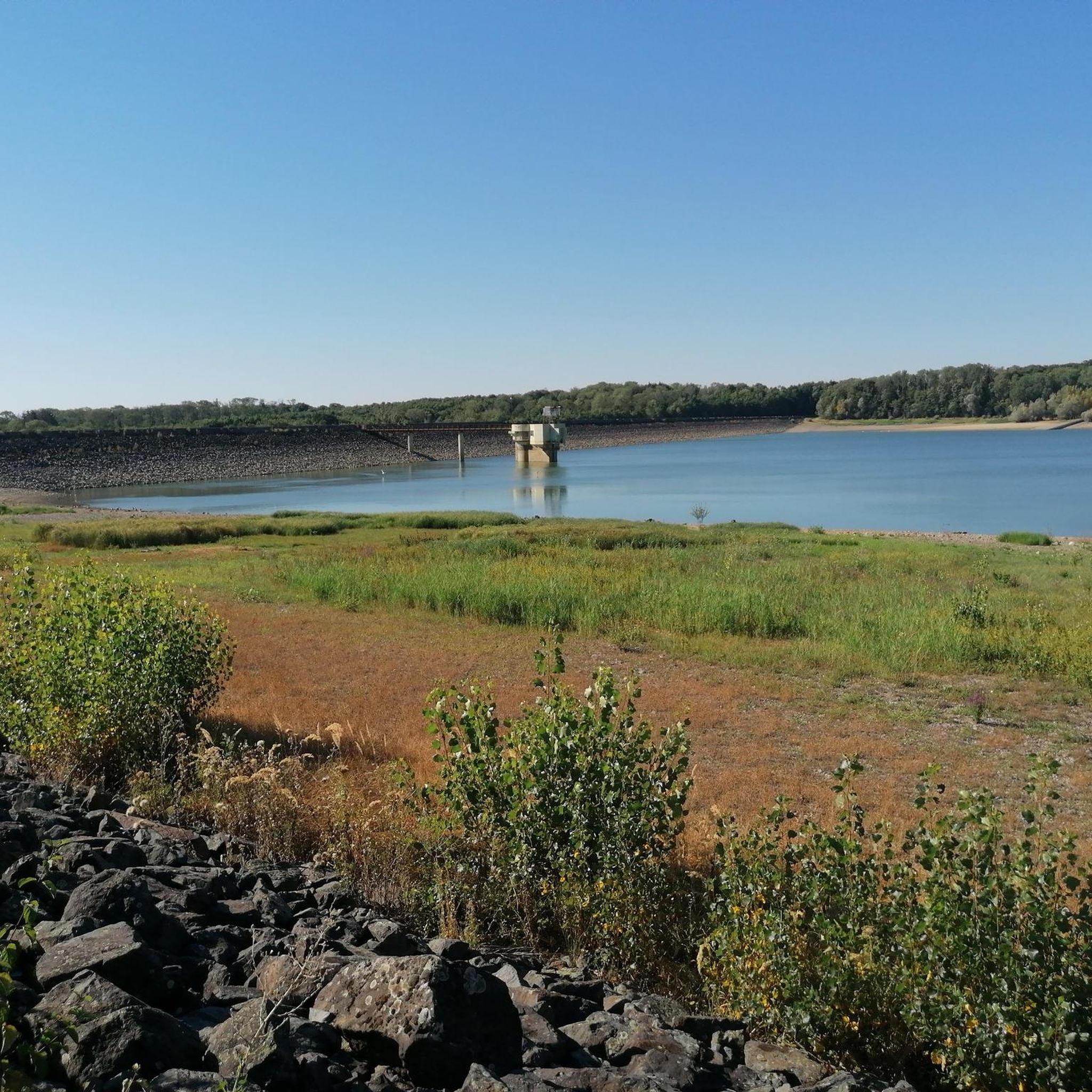
Beyond the trails themselves, you can explore natural and man-made features. Highlights include the tranquil Michelbach Lake, the impressive Michelbach Dam, and a Lake Observatory for birdwatching. The trails often provide splendid views of the lake and the distant Vosges summits.
Are there any challenging gravel routes for experienced riders?
Absolutely. For experienced riders seeking a challenge, routes like the Col Amic Pass – Climb to Col Amic loop from Burnhaupt-le-Haut offer significant elevation gain over 54.8 km. Another difficult option is the Ballon d'Alsace – Ballon d'Alsace Pass loop from Burnhaupt-le-Bas, which covers nearly 74 km with substantial climbing.
What do other gravel bikers say about the trails here?
The gravel biking routes around Plan d'eau de Michelbach are highly rated by the komoot community, with an average score of 4.4 stars from over 10 reviews. Riders often praise the varied terrain, scenic views, and the options available for different ability levels.
Is the area suitable for family-friendly gravel biking?
While the immediate lake circuit is restricted, the broader region does offer easier routes that could be suitable for families, especially those with some gravel biking experience. Look for routes categorized as 'easy' to find gentler paths with less elevation.
Are there any circular gravel routes available?
Yes, many of the gravel routes in the area are designed as loops. For example, the Michelbach Dam – Michelbach Lake loop from Aspach-le-Bas is a popular moderate circular trail, and the Michelbach Dam – Michelbach Dam loop from Aspach-le-Bas is an easy loop option.
What is the best time of year for gravel biking around Plan d'eau de Michelbach?
The region offers enjoyable gravel biking throughout much of the year. Spring and autumn provide pleasant temperatures and beautiful scenery. Summer can be warm, but many routes include shaded forest sections. Winter riding is possible, but conditions may vary with snow or ice, especially on higher elevation trails.
Can I bring my dog on the gravel bike trails?
While the immediate lake path has restrictions, many gravel trails in the wider region are generally dog-friendly. However, it's always advisable to keep dogs on a leash, especially in nature reserve areas or near wildlife, and to check specific trail regulations if available.
Where can I find parking for gravel biking routes?
Parking is typically available near the starting points of many routes in the surrounding villages and towns, such as Aspach-le-Bas or Burnhaupt-le-Haut. Specific parking information is often detailed on individual komoot tour pages.
Are there any cafes or restaurants near the gravel biking trails?
The villages and towns surrounding Plan d'eau de Michelbach, such as Aspach-Michelbach, offer various amenities including cafes and restaurants where you can refuel before or after your ride. These are usually a short distance from the trailheads.
Most popular routes around plan d'eau de Michelbach
Most popular attractions around plan d'eau de Michelbach

Get inspired with the komoot mobile app


Explore more
Browse the best Gravel rides in other regions.
