The best mountain hikes around Reschensee - Lago di Resia
4.8
(67)
616
hikers
34
hikes
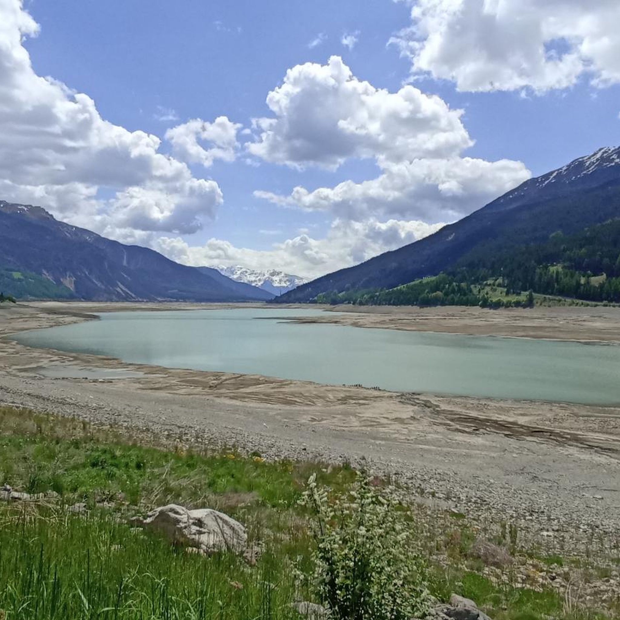
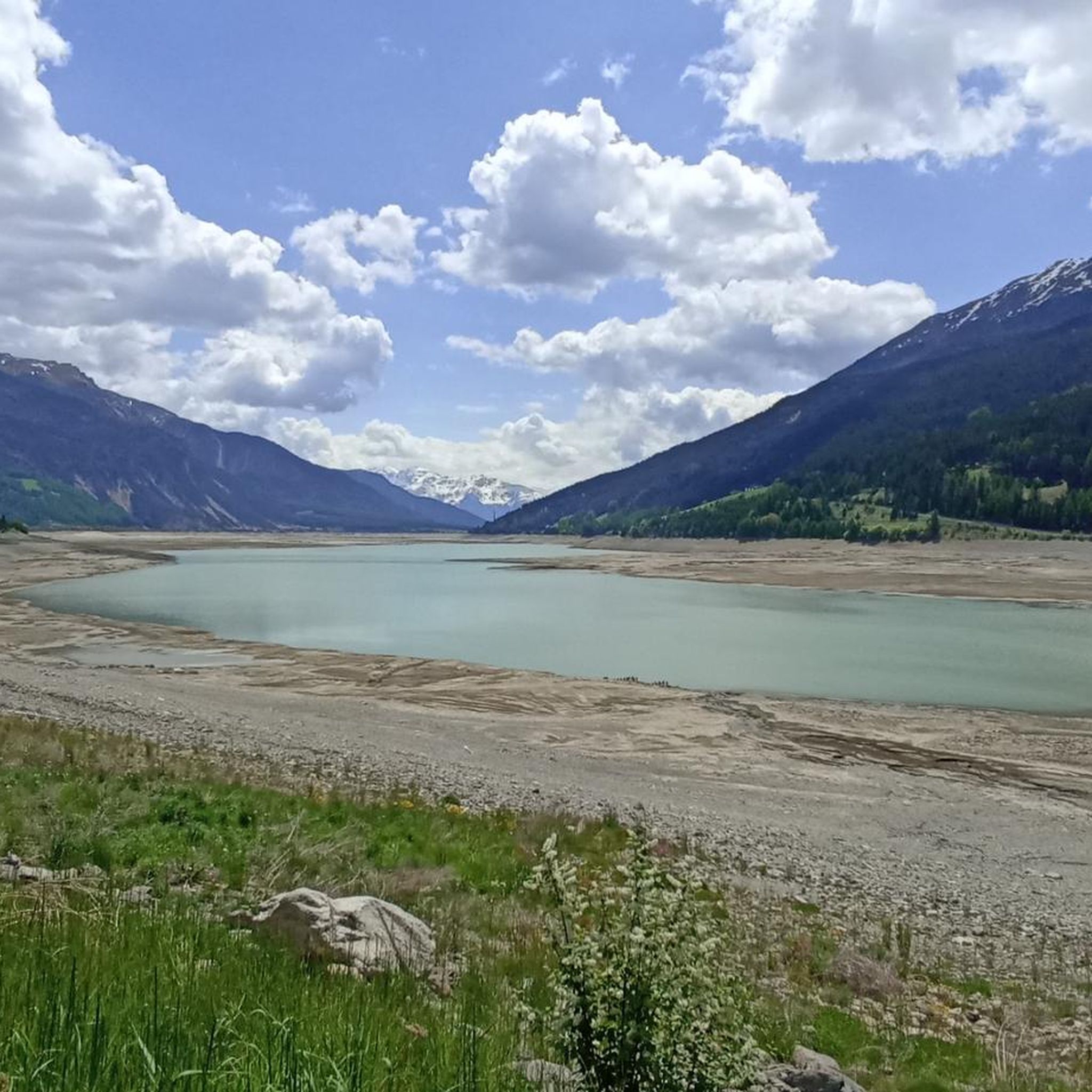
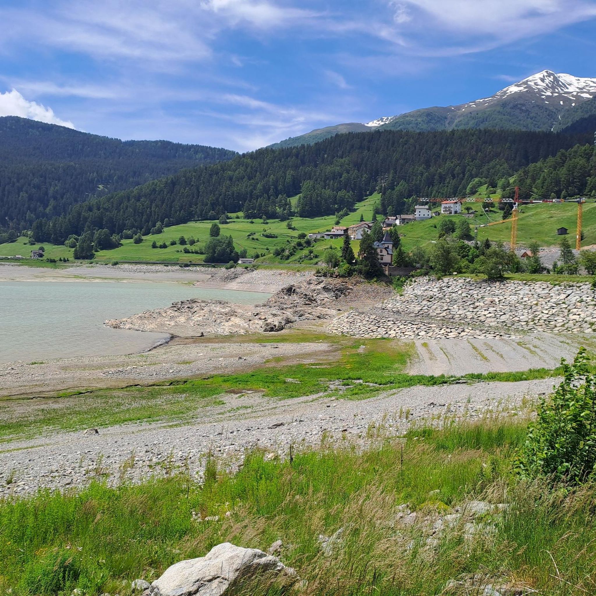
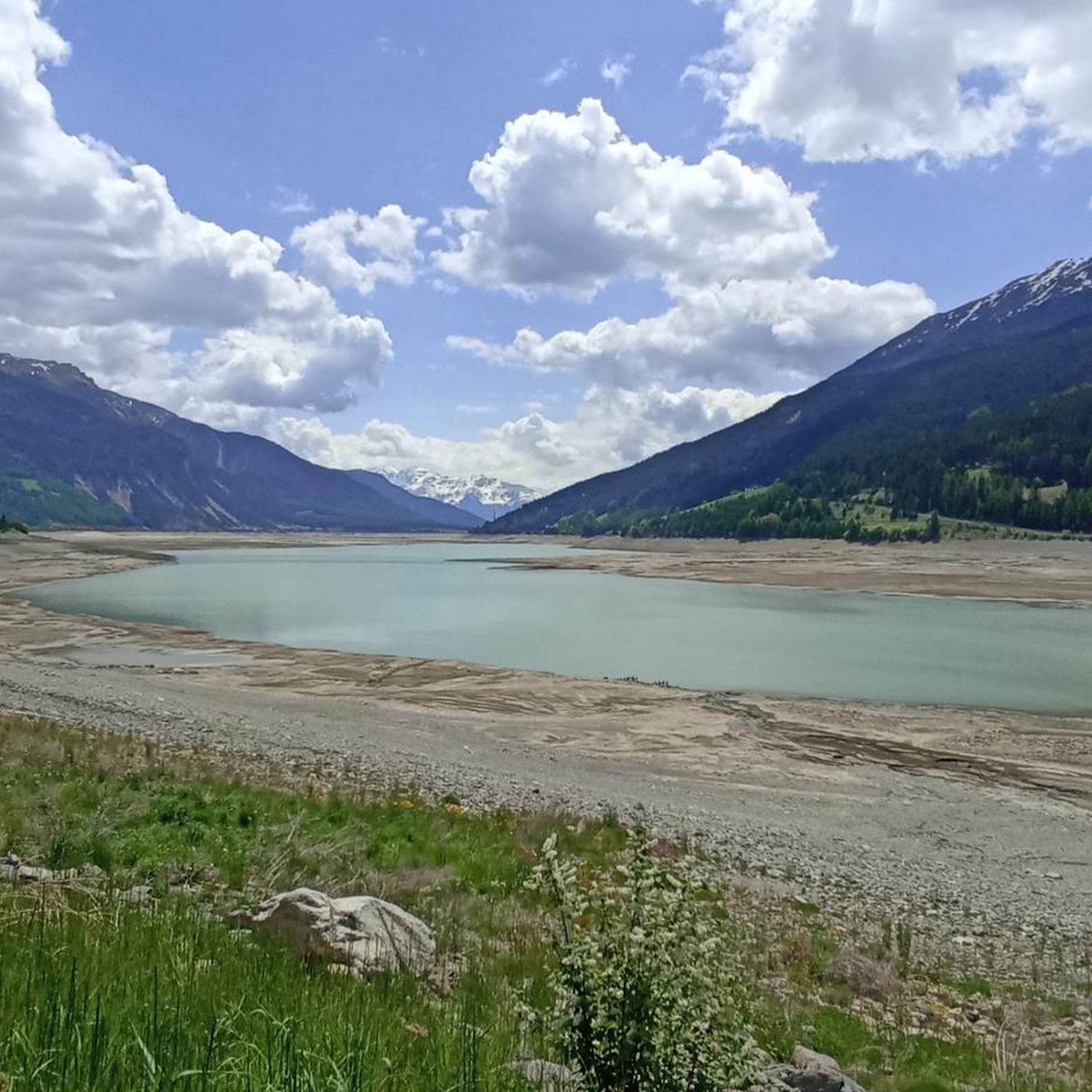
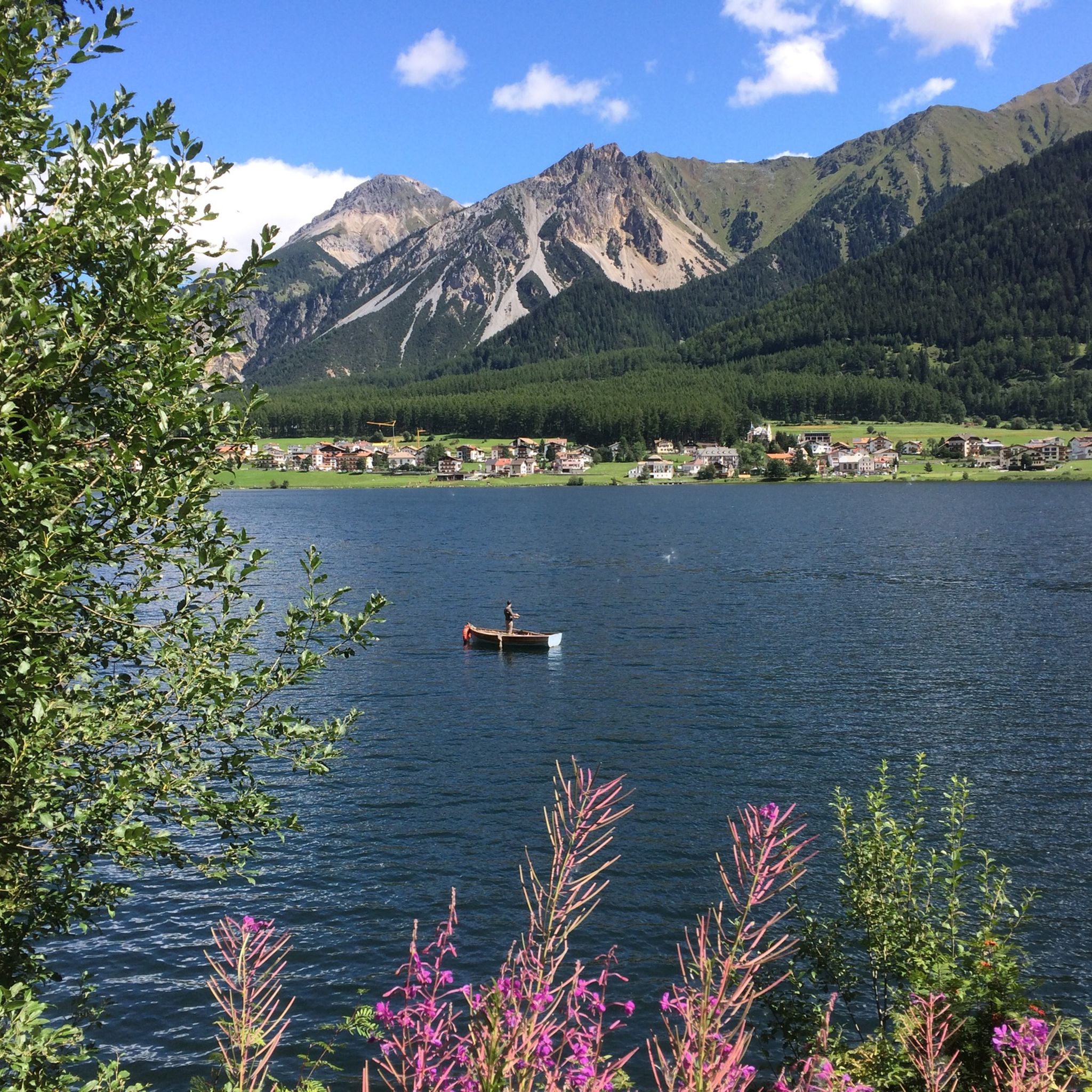
Mountaineering routes around Reschensee - Lago di Resia are situated in South Tyrol, Italy, at an elevation of 1,498 meters above sea level. The region is characterized by an artificial reservoir, the largest in South Tyrol, and is famously marked by the partially submerged 14th-century bell tower of Curon. The surrounding landscape is dominated by the majestic Alps, including parts of the Ötztal, Sesvenna, and Ortler Alps, providing a truly alpine experience within the upper Vinschgau Valley. This area offers…
Last updated: October 10, 2026
4.8
(4)
33
hikers
Moderate mountaineering route. Good fitness required. Mostly accessible paths. Sure-footedness required.
5.0
(1)
15
hikers
Hard mountaineering route. Very good fitness required. Sure-footedness, sturdy shoes and alpine experience required.

5.0
(1)
4
hikers
Moderate mountaineering route. Good fitness required. Mostly accessible paths. Sure-footedness required.
6
hikers
Hard mountaineering route. Very good fitness required. Mostly accessible paths. Sure-footedness required.
5.0
(1)
9
hikers
21.4km
09:02
1,400m
1,400m
Hard mountaineering route. Very good fitness required. Sure-footedness, sturdy shoes and alpine experience required.
Get access to more routes and recommendations from other explorers.
Already have an account?
Our route recommendations are based on thousands of hikes, rides, and runs completed by other people on komoot.
Start today with a free account
Your next adventure awaits.
Popular around Reschensee - Lago di Resia
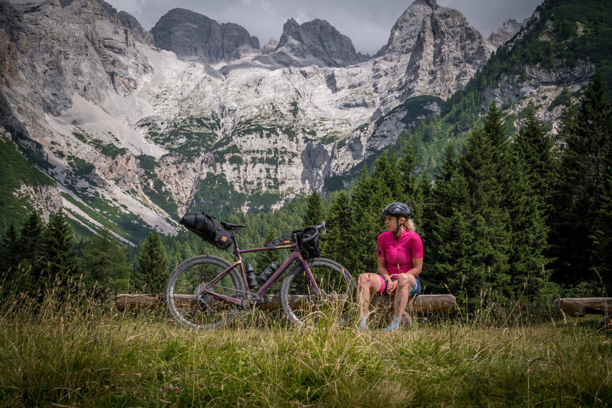
Graun to Riva del Garda — Gravelling across the Alps
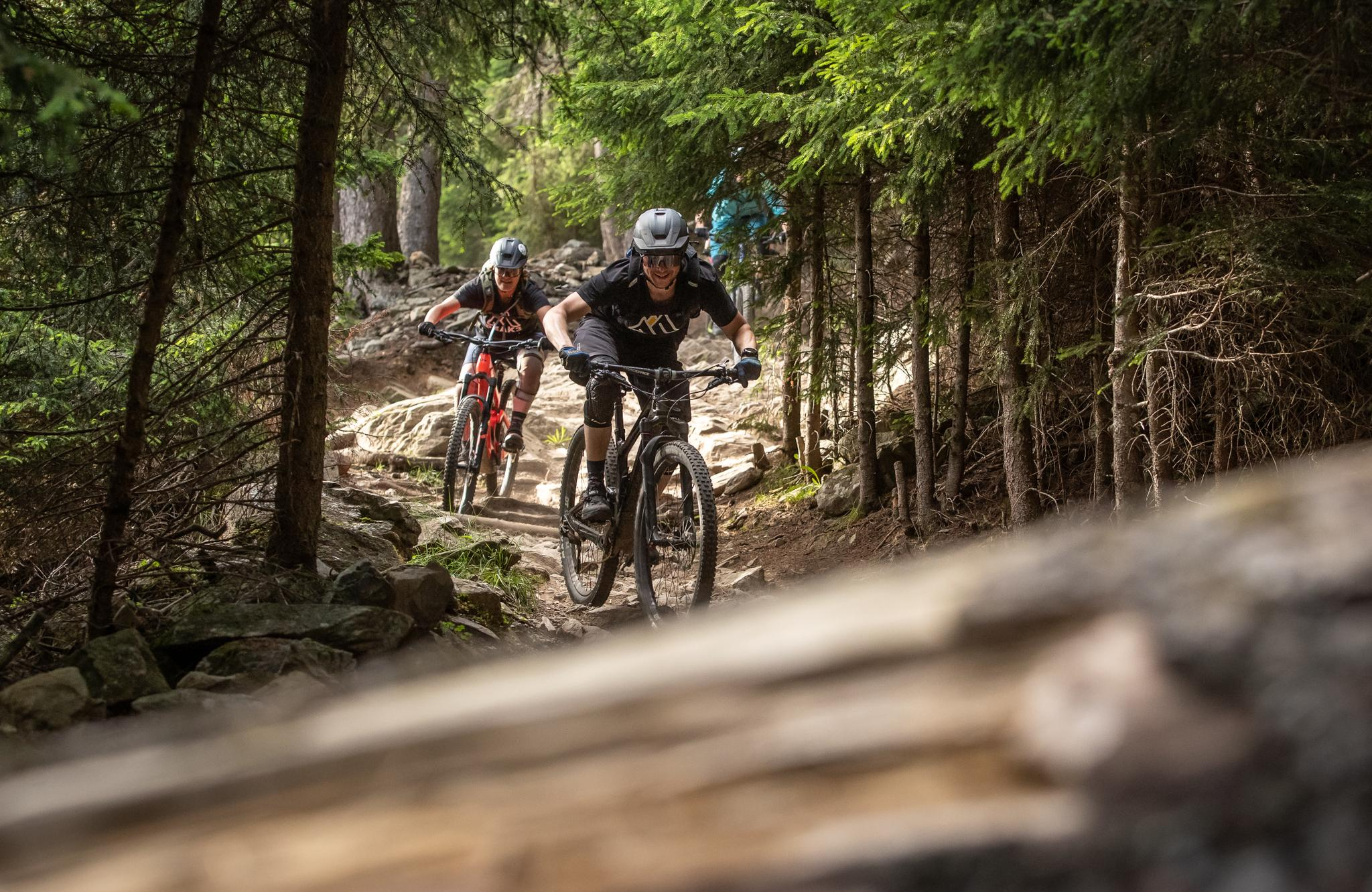
MTB fun and culinary discoveries around Reschenpass
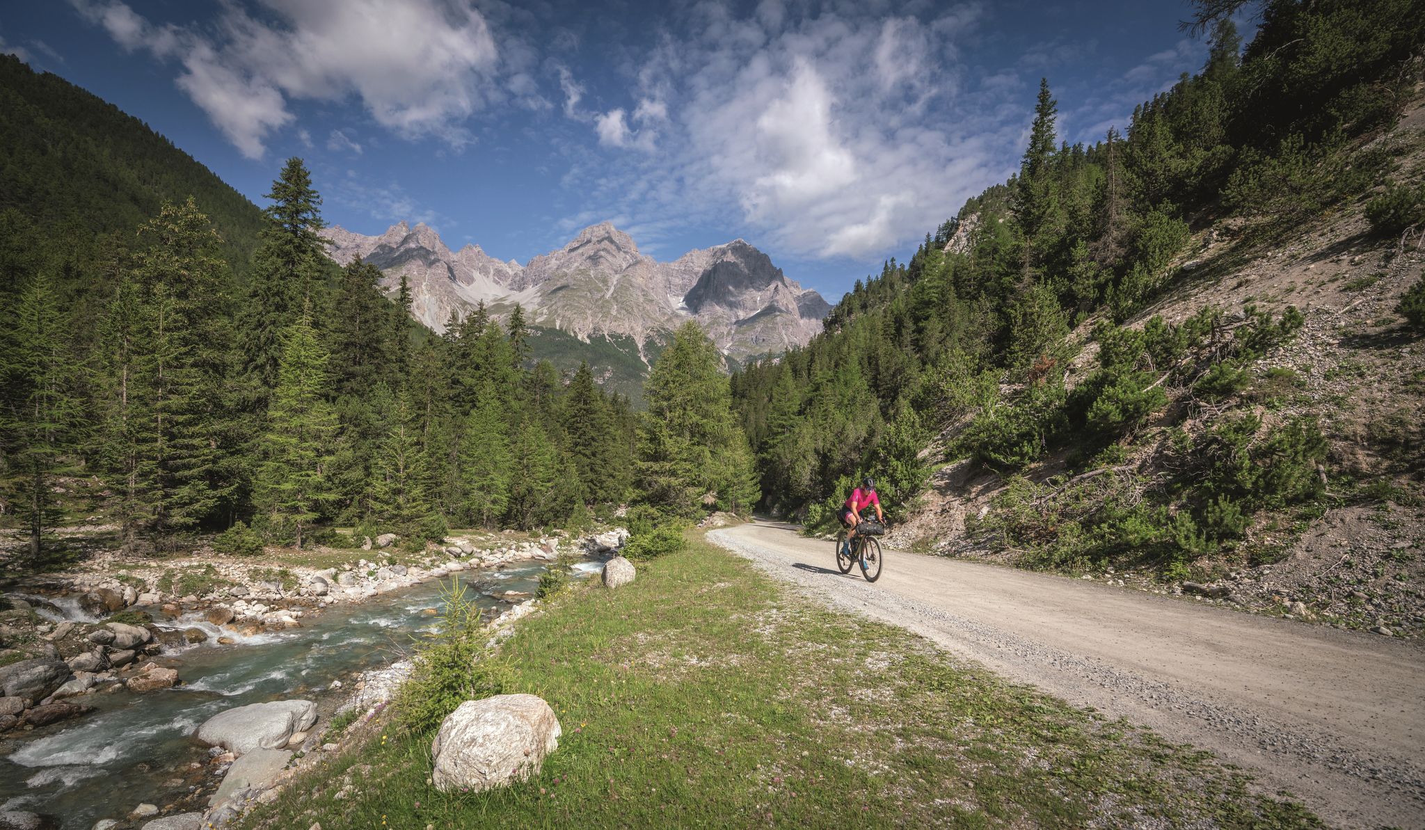
In 6 days from Reschen to Lake Garda - Gravel-Transalp with TOUR
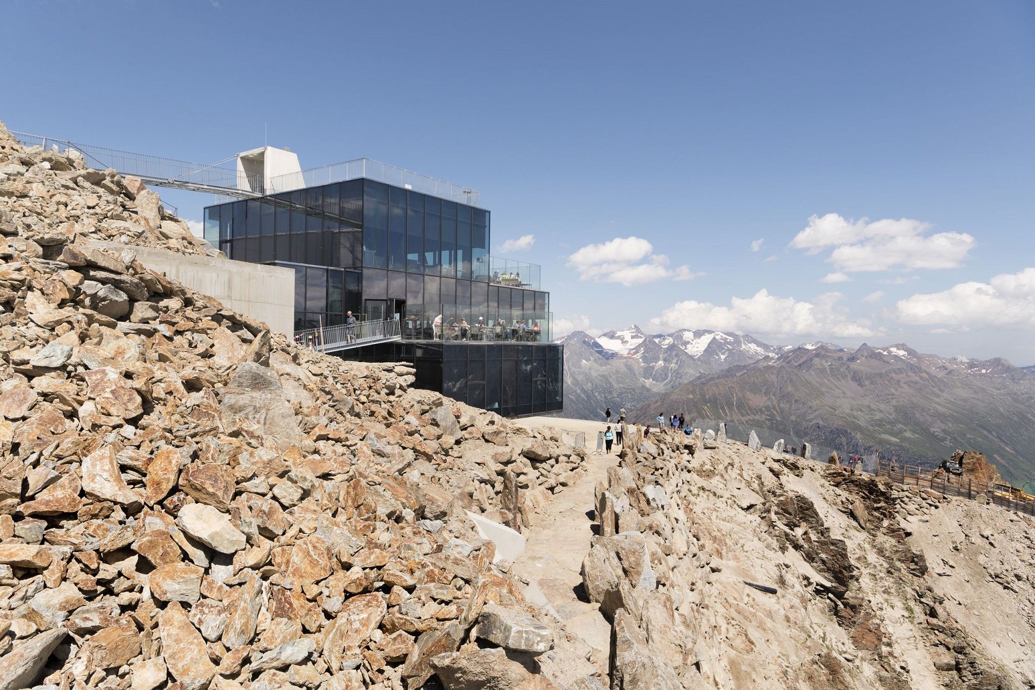
Delicious food and scenic mountains – Hikes for foodies in Tyrol
MTB Trails around Reschensee - Lago di Resia
Cycling around Reschensee - Lago di Resia
Running Trails around Reschensee - Lago di Resia
Road Cycling Routes around Reschensee - Lago di Resia
Hiking around Reschensee - Lago di Resia

Gravel biking around Reschensee - Lago di Resia
Other adventures around Reschensee - Lago di Resia


Tips from the Community


Piz Lad (2,808 m) lies above Resia in the border triangle of Italy, Austria, and Switzerland and is the northernmost mountain in South Tyrol. A beautiful summit cross stands on its summit, offering impressive views over the Upper Vinschgau Valley, Lake Resia with the church tower of Graun, as well as across to the Ötztal Alps, the Ortler region, and the Engadin Mountains. The summit is accessible via marked trails and is considered a worthwhile, but not too difficult, hiking destination with magnificent panoramas of three countries. Ibex are often encountered up here.
1
0
From here, you have a beautiful view of Lake Reschen and a cow trough. A simple bench stands next to it. A very small statue of Jesus hangs on the cross.
1
0

The Rossböden trail takes you uphill and you enjoy a wonderful view of the lake.
0
0


The Rescher Alm welcomes you with its inviting atmosphere and the feeling of arriving amidst a picturesque alpine landscape. After the exertions of the trail, you can take a well-deserved rest here and enjoy traditional Tyrolean hospitality. Surrounded by lush meadows, perhaps grazing cows, and a magnificent view of the surrounding mountains, the alpine pasture offers the ideal place to recharge your batteries and unwind. Let yourself be pampered with regional specialties and enjoy the relaxed atmosphere before continuing your trail run with renewed energy – an idyllic highlight that perfectly combines nature experiences and culinary delights.
0
0
Frequently Asked Questions
How many mountaineering routes are available around Reschensee - Lago di Resia?
There are over 40 mountaineering routes in the Reschensee - Lago di Resia region, offering a wide range of experiences from moderate to difficult. The komoot community has explored these diverse trails over 700 times.
What is the best time of year for mountaineering around Reschensee - Lago di Resia?
The best time for mountaineering around Reschensee - Lago di Resia is generally from late spring to early autumn (May to October) when the weather is most stable and trails are clear of snow. However, the region also offers opportunities for ski touring in winter for experienced alpinists.
Are there any family-friendly mountaineering routes in the area?
While many routes are challenging, some offer more moderate sections suitable for families with older children or those looking for less strenuous climbs. For example, the Mountaineering loop from Etschquelle - Sorgente dell'Adige is a moderate 5.4-mile trail that takes about 3 hours to complete, leading through alpine meadows.
Can I bring my dog on the mountaineering trails?
Many trails in the Reschensee - Lago di Resia region are dog-friendly, but it's always advisable to check specific route regulations. Ensure your dog is well-behaved, on a leash where required, and that you carry enough water for both of you. The varied terrain offers plenty of opportunities for you and your canine companion to explore.
What kind of landmarks or attractions can I see along the mountaineering routes?
The region is rich in natural beauty and unique landmarks. You can often spot the iconic Bell Tower of Curon in Lake Resia from various viewpoints. Some routes, like the Plamort Bunker Complex – Plamort Anti-tank Barriers loop, even explore historical bunker complexes, offering a blend of nature and history.
Are there any circular mountaineering routes available?
Yes, several mountaineering routes around Reschensee - Lago di Resia are designed as loops, allowing you to start and end at the same point. An example is the Piz Lad summit cross – View of Lake Resia loop, which offers expansive views over the lake and Vinschgau Valley.
What is the general difficulty level of mountaineering in this region?
The mountaineering routes around Reschensee - Lago di Resia cater to various skill levels. You'll find a good mix of moderate trails, with 10 routes falling into this category, and more challenging ascents, with 31 routes rated as difficult. This allows both experienced alpinists and those looking for a solid challenge to find suitable options.
How can I access the mountaineering trails using public transport?
The Vinschgau Valley, where Reschensee - Lago di Resia is located, has public transport options, including bus services that connect villages around the lake and provide access to various trailheads. It's recommended to check local bus schedules for specific routes and starting points to plan your journey effectively.
Where can I find parking for mountaineering trails around Lago di Resia?
Parking is generally available in the villages surrounding Reschensee, such as Curon and Resia, and at designated trailheads. Some popular starting points, like the Etschquelle (source of the Adige River), often have parking facilities. Always look for marked parking areas and be mindful of local regulations.
What do other mountaineers enjoy most about the routes in Reschensee - Lago di Resia?
The area is highly rated by the komoot community, with an average score of 4.9 stars from over 90 reviews. Reviewers often praise the breathtaking vistas over the Vinschgau Valley, Switzerland, and the Tyrolean Alps, the unique sight of the submerged bell tower, and the diverse terrain that offers both challenging climbs and scenic walks.
Are there any routes that offer high-altitude views of the surrounding Alps?
Absolutely. Many routes in the region lead to higher elevations, providing stunning panoramic views. For instance, the Grauner Alm, Vinschgau – Grauner Alm (Vivana Alm) loop is a difficult route that ascends to offer magnificent perspectives of the alpine landscape and the valley below.
Can I find cafes or places to rest near the mountaineering trails?
The villages around Reschensee - Lago di Resia, such as Curon and Resia, offer various amenities including cafes, restaurants, and accommodation options where you can rest and refuel. Some mountain huts (Alms) might also be open seasonally along certain routes, providing refreshments and a place to take a break.
Most popular routes around Reschensee - Lago di Resia
Most popular attractions around Reschensee - Lago di Resia

Get inspired with the komoot mobile app


Explore more
Browse the best Mountain Hikes & Routes in other regions.
