The best mountain hikes around Llyn Peris
4.9
(13)
215
hikers
12
hikes
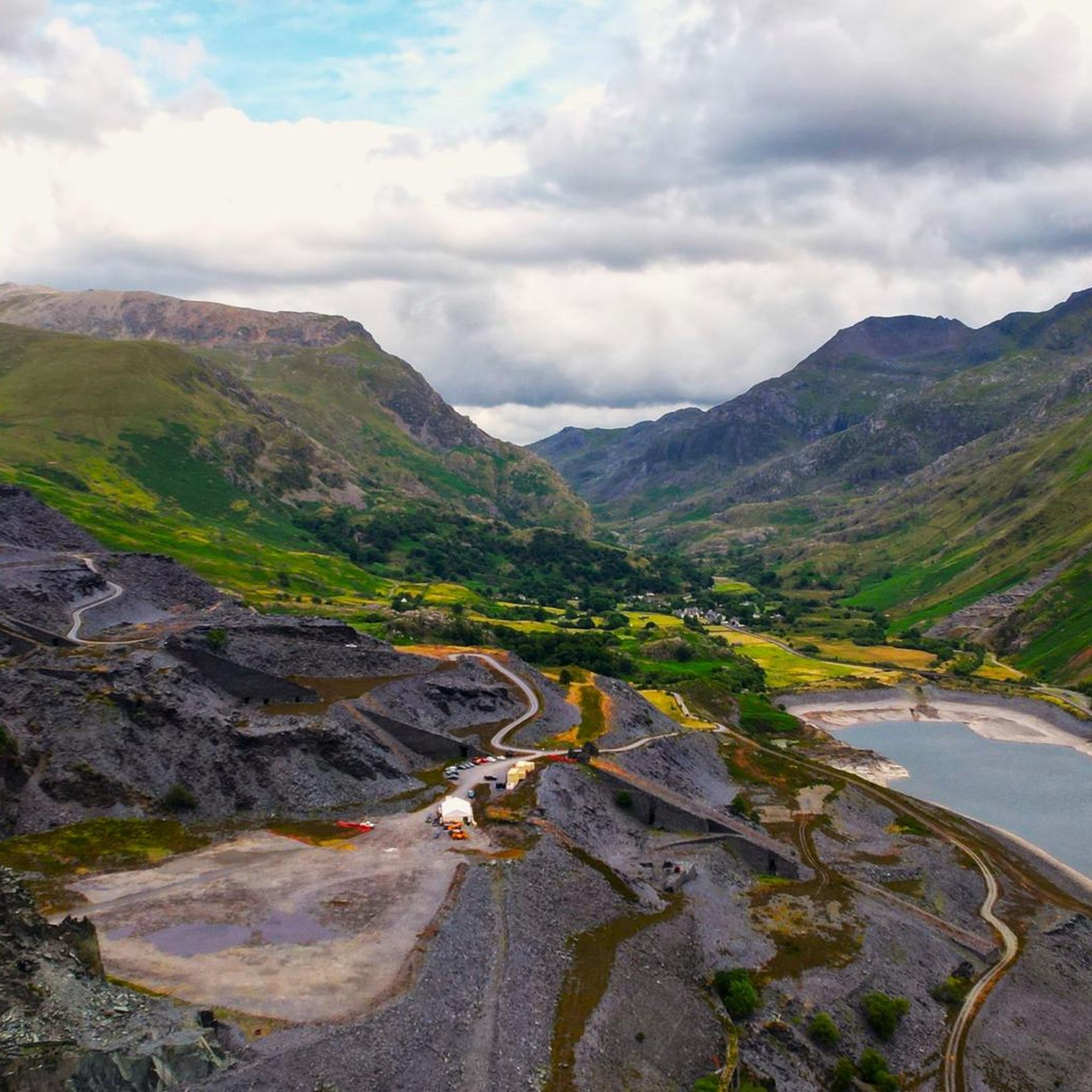
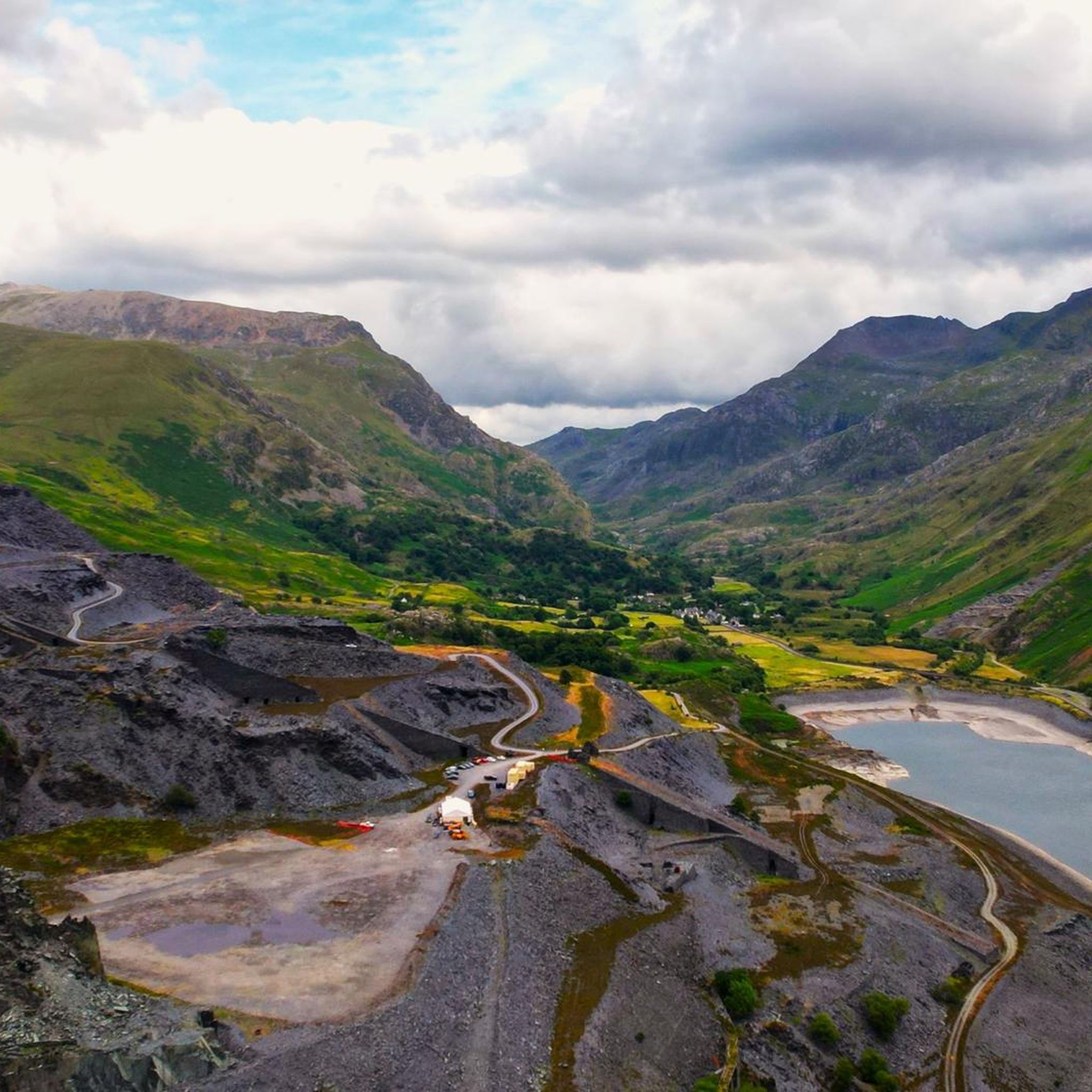
Mountaineering routes around Llyn Peris are characterized by the rugged peaks and glacial valleys of Snowdonia National Park. The landscape features prominent mountain ranges, deep-set lakes, and challenging rocky ascents. This area offers a diverse environment for mountaineers seeking elevation gain and technical terrain.
Best mountaineering routes around Llyn Peris
- The most popular mountaineering route is Snowdon Summit loop from Llanberis, a 9.4 miles (15.1 km) trail that takes 5 hours 35 minutes to complete. This route offers a…
Last updated: August 17, 2026
4.7
(6)
67
hikers
15.2km
05:36
950m
950m
Hard mountaineering route. Very good fitness required. Mostly accessible paths. Sure-footedness required.
5.0
(1)
6
hikers
9.74km
03:39
640m
640m
Moderate mountaineering route. Good fitness required. Easily-accessible paths. Suitable for all skill levels.

Sign up for free
5.0
(1)
7
hikers
13.5km
06:27
920m
920m
Hard mountaineering route. Very good fitness required. Sure-footedness, sturdy shoes and alpine experience required.
5.0
(2)
21
hikers
12.3km
04:50
850m
850m
Hard mountaineering route. Good fitness required. Sure-footedness, sturdy shoes and alpine experience required.
10
hikers
9.39km
03:52
570m
570m
Hard mountaineering route. Good fitness required. Sure-footedness, sturdy shoes and alpine experience required.
Get access to more routes and recommendations from other explorers.
Sign up for free
Already have an account?
Our route recommendations are based on thousands of hikes, rides, and runs completed by other people on komoot.
Start today with a free account
Your next adventure awaits.
Login or Signup

Tips from the Community


Along the paths, you will regularly find rows of fallen trees, felled by strong gusts of wind.
8
0

planned to take this route but parking is scarce, so be careful
3
0

Crib Goch is a super “exciting” Grade 1 scramble, but it is important to know your abilities and manage the risks of traversing this amazing ridge. Crib Goch is one of the best ridges of its kind and grade anywhere in the UK. It has great scrambling, with some famous arete sections. On a grade one scramble you will need to use your hands on the rock, and on Crib Goch you will do this often. Traversing the ridge on a sunny day is a marvellous experience; on a cold winter day, or in bad weather, it can be perilous without the appropriate equipment. While often straightforward, Grade 1 scrambles still carry risk due to height and exposure, and they should not be taken for granted, especially in poor weather.
0
0

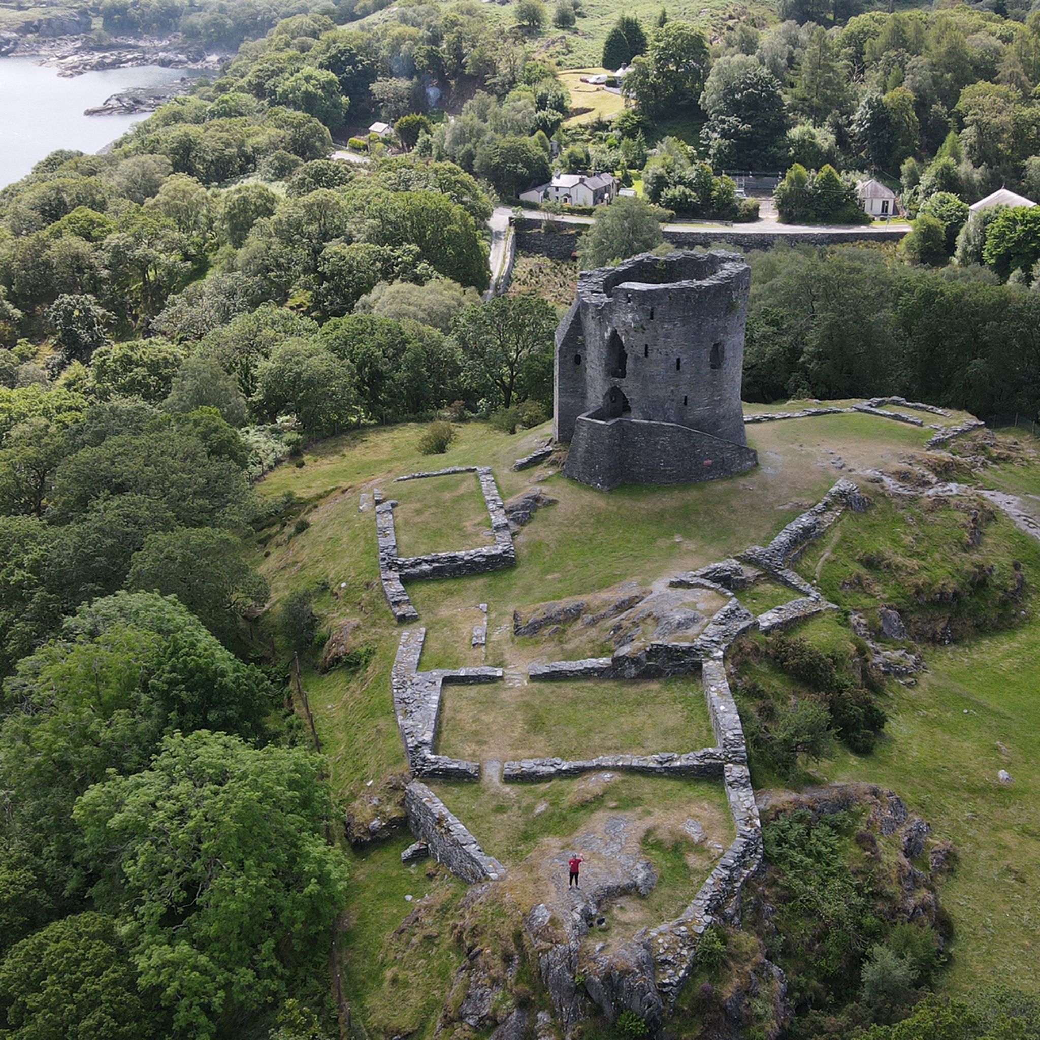
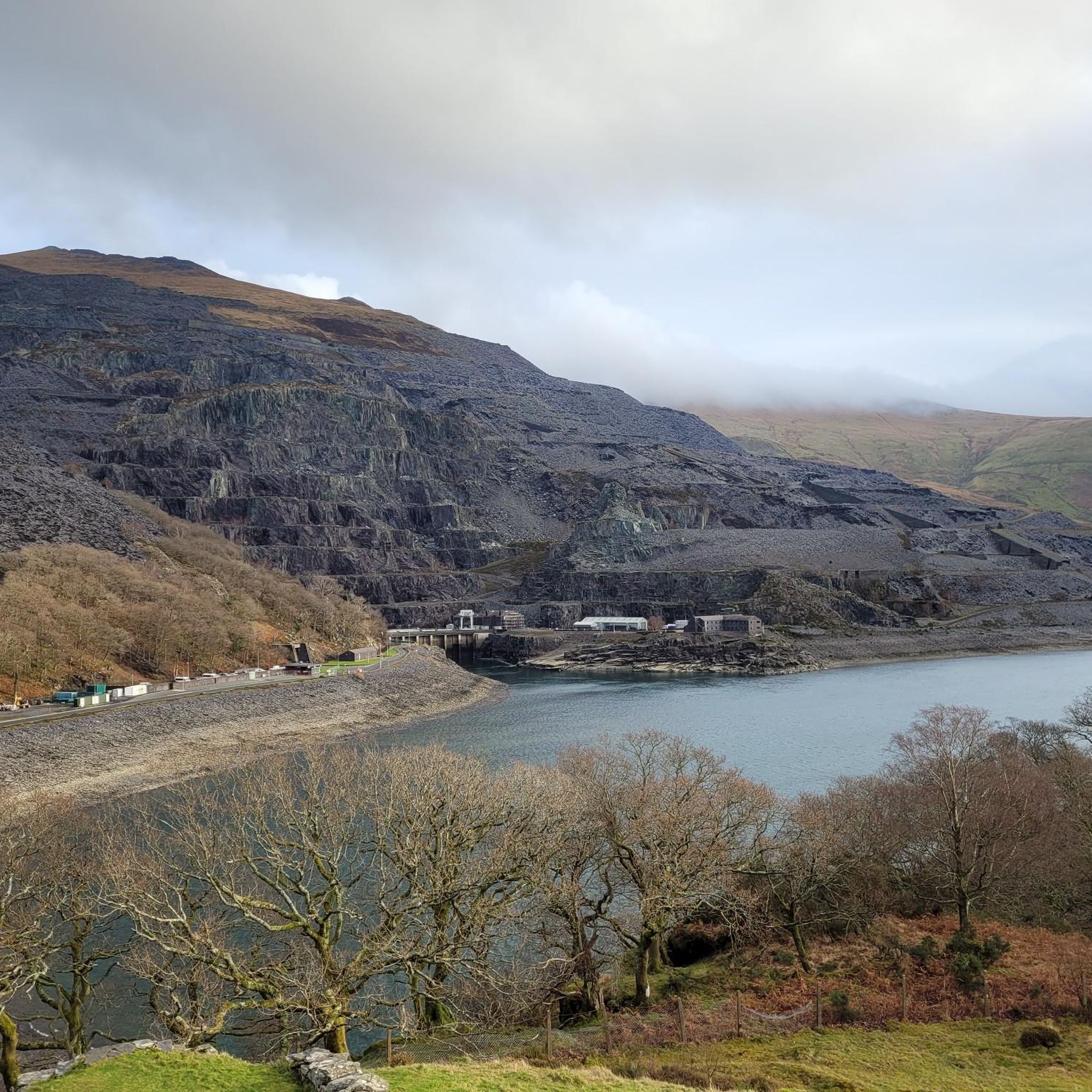
The best view to be had of these two lakes is from the Crib Goch, and they will be a long way below you.
0
0
The Bwlch Main (south west ridge) is a great way to descend from the summit of Snowdon, particularly on a winter's day. Great views all the way to the Irish Sea
0
0


The ridge section of the Rhyd Ddu is a wonderful quieter and scenic route up Snowdon. After a steady climb from Rhyd Ddu village through moorland and old quarry terrain, the path climbs up onto the broad shoulder of Llechog, then narrows and becomes more dramatic across Bwlch Main. It’s here that the hike shifts from a hillwalk to a true mountain experience, with big drops, wide views, and an airy sense of exposure. 👁️🗨️ West over Llyn Cwellyn, the Nantlle Ridge, and Moel Hebog. South into Cwm Llan with its waterfalls and quarry ruins. North across to Crib Goch and Garnedd Ugain. 👥 Compared with the Pyg or Llanberis routes, the ridge here is far less busy, often giving you space to take it in without jostling crowds. ⚠️ Llechog has sheer cliffs to the west; Bwlch Main narrows with steep drops. Those nervous of heights may find it challenging but not impossible, it’s narrower than broad ridges like the Llanberis path, but much less extreme than Crib Goch. 🌬️ Wind makes this section serious; gusts on Bwlch Main can be dangerous. 😶🌫️ Mist reduces visibility, making navigation tricky and increasing the psychological challenge. ❄️ In winter, ice and snow turn the ridge into a mountaineering route. Do not attempt unless you have enough experience and the appropriate equipment. 🥾The path is rocky and uneven in places; care is needed, especially on descent when tired. To sum up: The Rhyd Ddu Ridge section is the jewel of the Rhyd Ddu Path, a place where you feel the full scale and drama of Snowdon without the crowds or the knife-edge exposure of Crib Goch. It’s a route for hikers who want a wild, scenic, and adventurous approach to the summit, while still keeping it within the bounds of a challenging walk rather than a scramble. (Albeit there are some light scrambling sections)
0
0
Frequently Asked Questions
How many mountaineering routes are available around Llyn Peris?
There are over 30 mountaineering routes in the Llyn Peris area, offering a wide range of challenges for different skill levels.
What is the typical difficulty level of mountaineering routes in Llyn Peris?
The majority of mountaineering routes around Llyn Peris are considered difficult, with 28 routes falling into this category. There are also 4 moderate routes available for those seeking a less strenuous experience.
Are there any beginner-friendly mountaineering routes near Llyn Peris?
While many routes are challenging, there are a few moderate options suitable for those with some experience looking to develop their mountaineering skills. For example, the Elidir Fawr loop from Deiniolen is a moderate route that offers a good introduction to the area's terrain.
What is the best season for mountaineering in Llyn Peris?
The best season for mountaineering in Llyn Peris is typically late spring through early autumn (May to October) when weather conditions are generally more stable and daylight hours are longer. However, conditions can change rapidly in the mountains, so always check the forecast.
What are the winter mountaineering conditions like around Llyn Peris?
Winter mountaineering in Llyn Peris, particularly in Snowdonia National Park, can be very challenging. Expect snow, ice, and strong winds, requiring specialized equipment like ice axes, crampons, and significant experience. Conditions can be unpredictable and change quickly.
What gear should I bring for mountaineering in Llyn Peris?
Essential gear for mountaineering in Llyn Peris includes sturdy hiking boots, waterproof and windproof layers, navigation tools (map, compass, GPS), sufficient food and water, a headlamp, and a first-aid kit. For more challenging routes or winter conditions, additional gear like helmets, harnesses, and ice axes may be necessary.
Are there any circular mountaineering routes that offer great views of Llyn Peris?
Yes, many routes offer stunning views. The Snowdon Summit loop from Snowdon Ranger provides panoramic vistas, including views of Llyn Peris and the surrounding valleys as you ascend and descend Snowdon.
What do other mountaineers enjoy most about Llyn Peris?
The Llyn Peris area is highly rated by the komoot community, with an average score of 4.8 stars from over 60 reviews. Mountaineers often praise the rugged peaks, challenging ascents, and the dramatic glacial valleys that define the landscape of Snowdonia National Park.
How long do mountaineering routes around Llyn Peris typically take?
Route durations vary significantly based on difficulty and distance. For instance, the moderate Elidir Fawr loop from Deiniolen can be completed in under 4 hours, while more demanding routes like the Garnedd Ugain Summit – Snowdon Summit loop from Rocky Valley Halt can take over 7 hours.
Are there dog-friendly mountaineering options near Llyn Peris?
Many trails in Snowdonia National Park are dog-friendly, but it's crucial to keep dogs on a lead, especially in areas with livestock or ground-nesting birds. Be aware that some routes, particularly those involving scrambling or exposed ridges like Crib Goch, may not be suitable for dogs. Always check specific route details.
Where can I find parking for mountaineering trailheads around Llyn Peris?
Parking is available at various trailheads around Llyn Peris and within Snowdonia National Park. Popular starting points like Llanberis, Snowdon Ranger, and near Rocky Valley Halt often have designated car parks, though they can fill up quickly during peak season. Some may require payment.
Can I reach mountaineering routes around Llyn Peris using public transport?
Yes, public transport options are available. The Sherpa'r Wyddfa bus service operates around Snowdon, connecting key villages and trailheads, including Llanberis and Pen-y-Pass, which are access points for routes like the Snowdon Summit loop from Llanberis. Check timetables in advance, especially outside of peak season.
Are there any pubs or cafes near Llyn Peris for after a mountaineering trip?
Yes, the nearby village of Llanberis, located at the foot of Snowdon, offers several pubs, cafes, and restaurants where you can refuel and relax after a day of mountaineering. You'll find options for hot meals, drinks, and snacks.
Most popular routes around Llyn Peris

Get inspired with the komoot mobile app


Explore more
Browse the best Mountain Hikes & Routes in other regions.
