The best walks and hikes around Lag da Pigniu
4.7
(971)
8,264
hikers
187
hikes
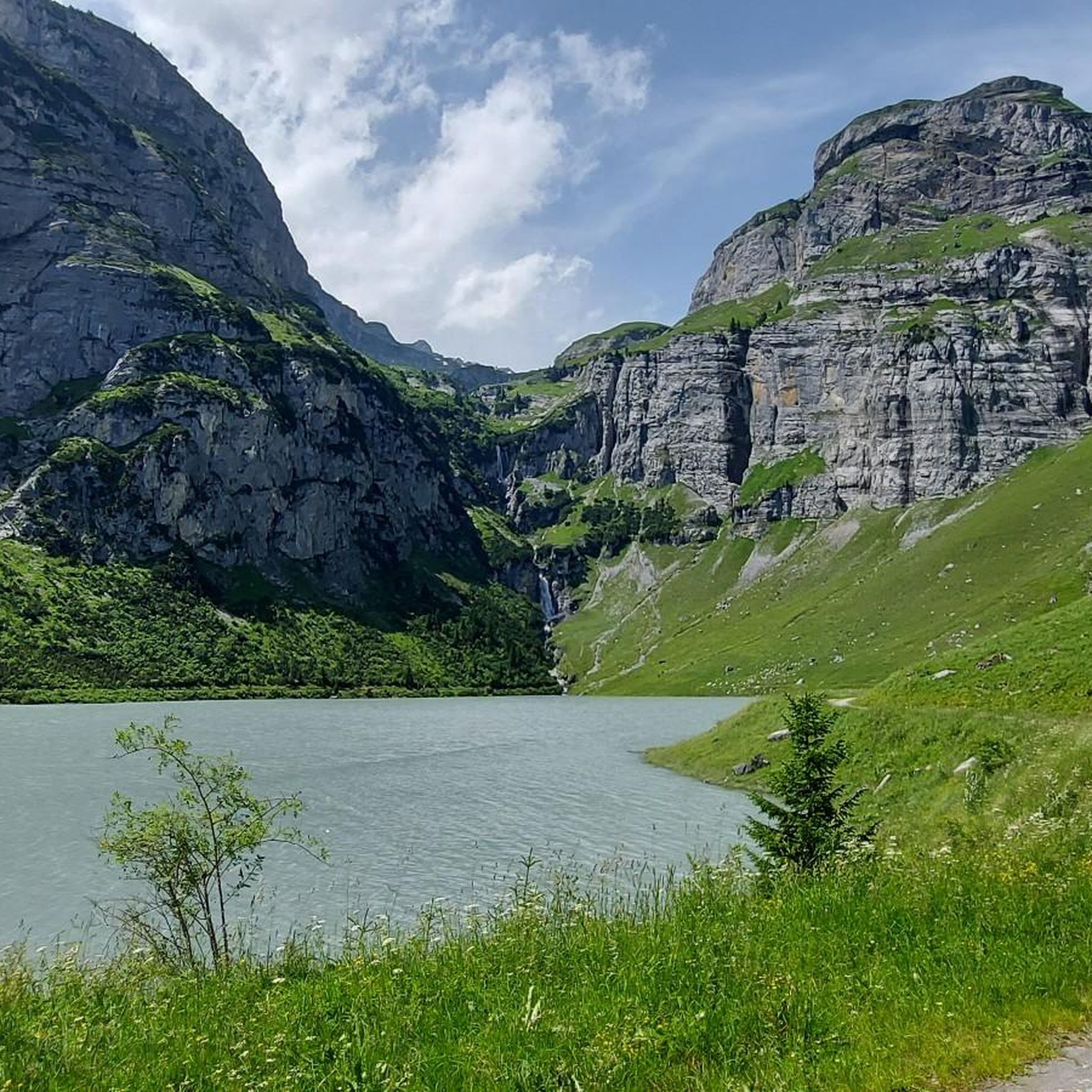
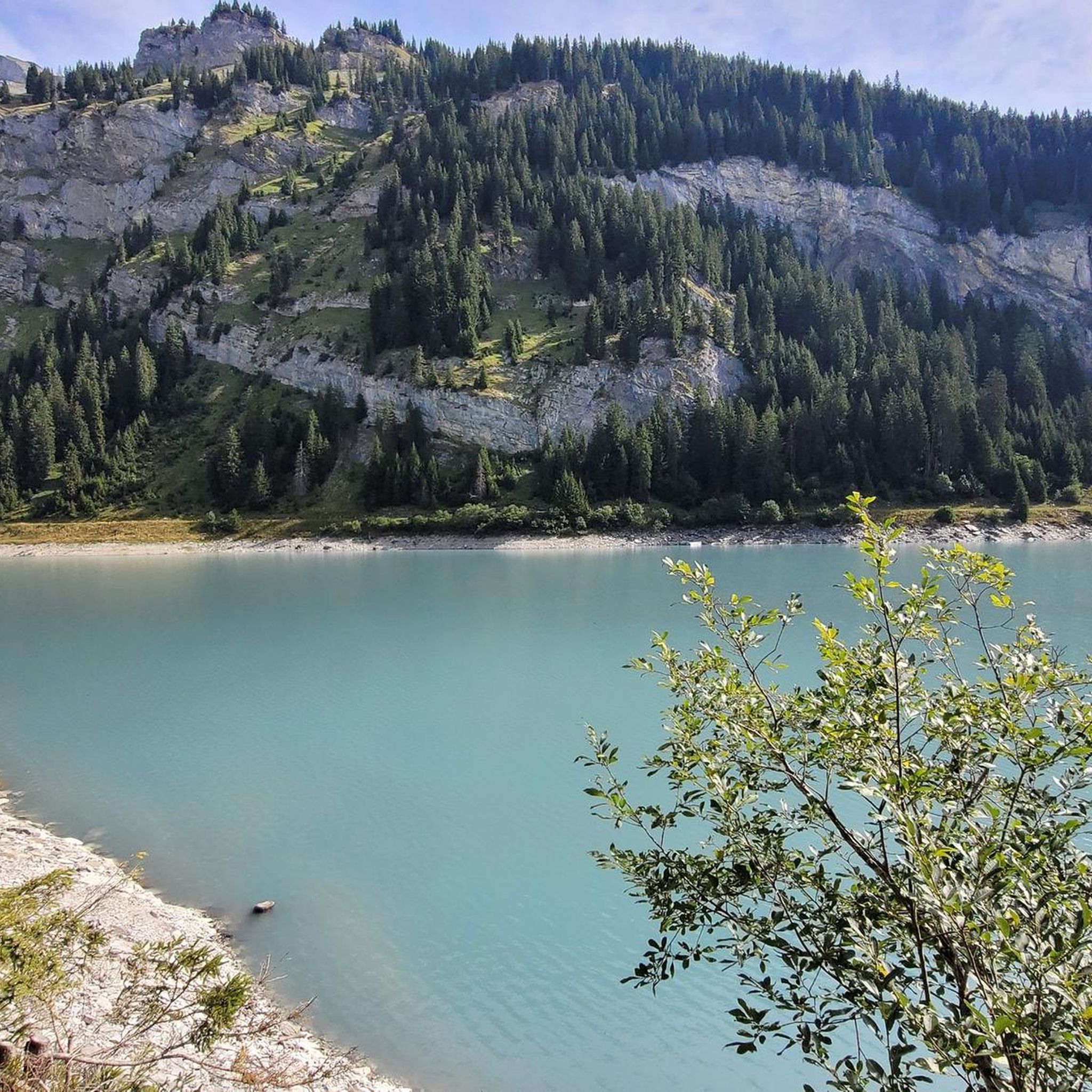
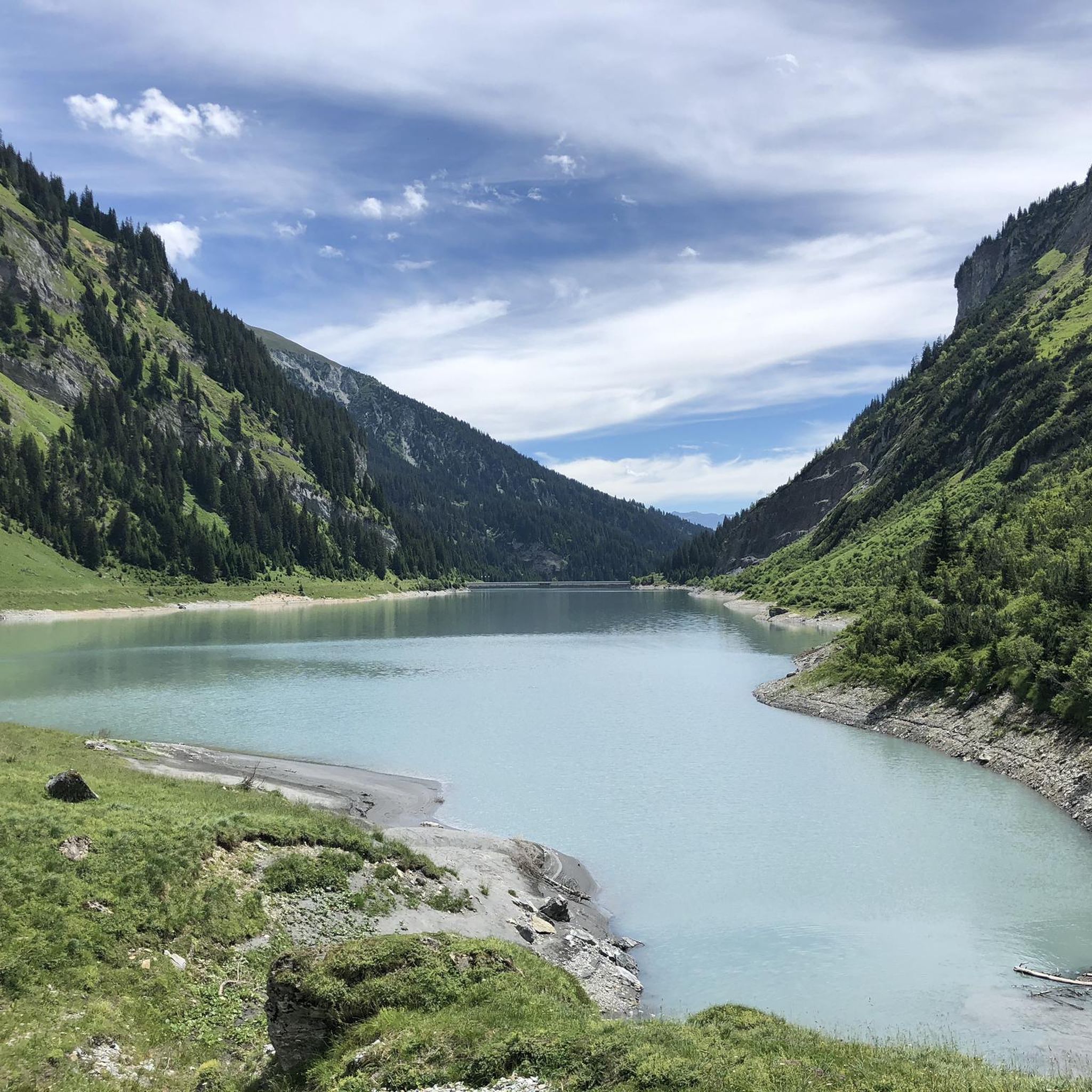
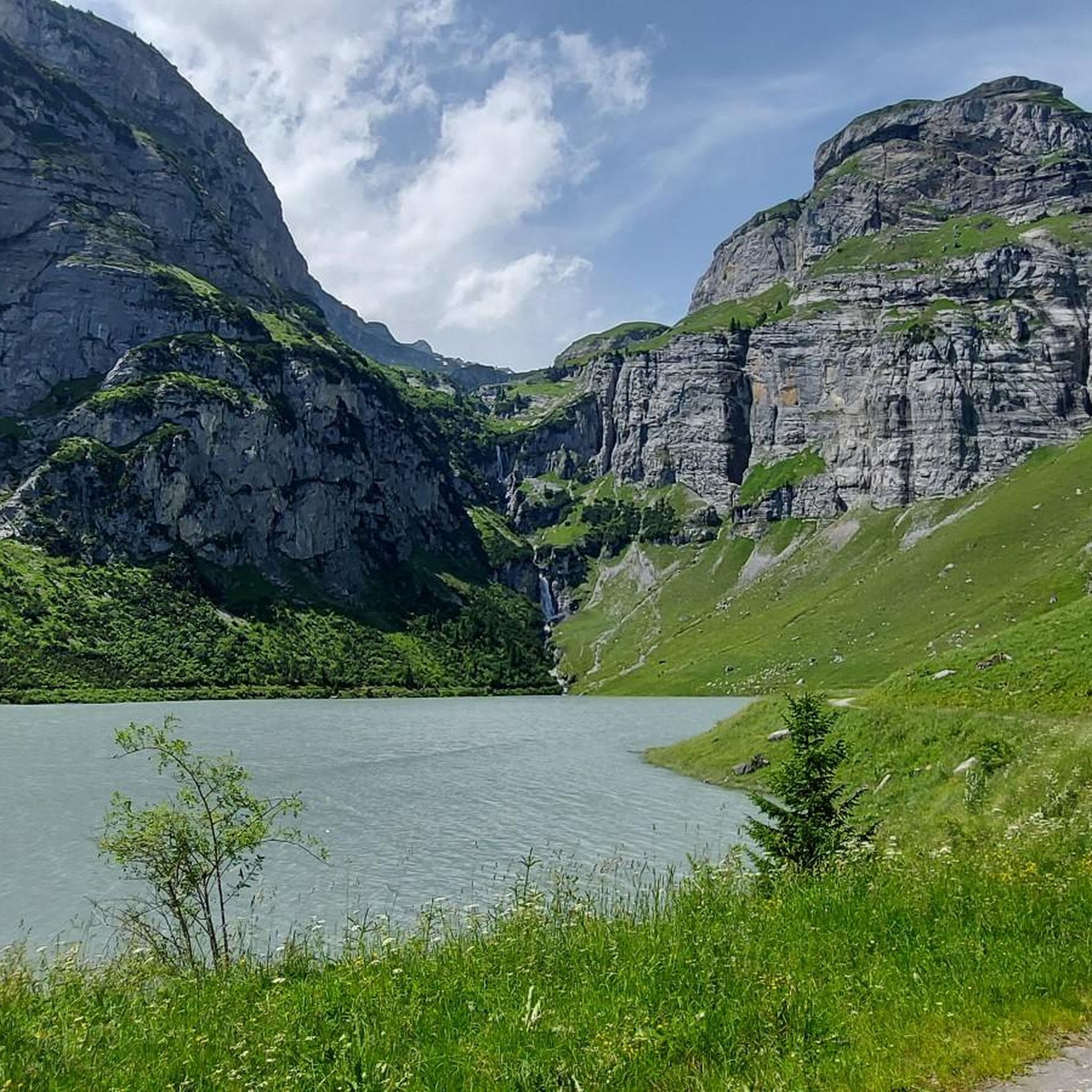
Hiking around Lag da Pigniu reveals a landscape characterized by a magnificent rock basin holding turquoise waters, framed by impressive rock walls. Dramatic waterfalls, particularly active during snowmelt, feed the lake. The surrounding terrain transitions from lush mountain meadows to more barren alpine landscapes at higher elevations, offering diverse natural features for exploration.
Best hiking trails around Lag da Pigniu
- The most popular hiking route is Lag da Pigniu and Waterfall – Pingui dam loop from Andiast, a 2.7…
Last updated: June 24, 2026
4.8
(20)
190
hikers
4.29km
01:17
80m
80m
Moderate hike. Great for any fitness level. Mostly accessible paths. Sure-footedness required.
4.5
(2)
22
hikers
4.26km
01:11
70m
70m
Easy hike. Great for any fitness level. Easily-accessible paths. Suitable for all skill levels.

Sign up for free
4.0
(4)
17
hikers
4.20km
01:15
130m
130m
Easy hike. Great for any fitness level. Easily-accessible paths. Suitable for all skill levels.
4.7
(30)
159
hikers
8.94km
02:50
260m
260m
Moderate hike. Good fitness required. Mostly accessible paths. Sure-footedness required.
4.6
(5)
43
hikers
19.6km
07:45
1,200m
1,200m
Hard hike. Very good fitness required. Mostly accessible paths. Sure-footedness required.
Get access to more routes and recommendations from other explorers.
Sign up for free
Already have an account?
Our route recommendations are based on thousands of hikes, rides, and runs completed by other people on komoot.
Start today with a free account
Your next adventure awaits.
Login or Signup


Tips from the Community

Aua dil Mer, here you can see deep down into the glacial potholes of the Aua-dil-Mer stream, quite an experience!
0
0

One side of the lake is accessible by bike🚴🏿♀️
0
0

Mountain hut at the Panixer Pass, maintained by the Canton of Glarus and open year-round. A good place to take a break.
0
0

This place, marked by the Lag da Pigniu and its impressive waterfall, announces the beginning of the Panixertal, a side valley of the Anterior Rhine. A wonder of nature that can serve as a hiking destination.
0
0


Small, wild gorge of the mountain stream. Be careful when exploring, because there is no fence and no official path along the gorge.
0
0
Below the rock overhang, the alpine hut lies slightly below the mountain path. If the flag is flying and the friendly dog comes towards you, then it is open and you can stop for a short break to refresh yourself. Very nice hut warden.
0
0
Frequently Asked Questions
How many hiking trails are available around Lag da Pigniu?
There are nearly 200 hiking routes around Lag da Pigniu, catering to various skill levels. You'll find approximately 50 easy trails, almost 100 moderate options, and over 40 more challenging routes to explore the diverse landscape.
What kind of terrain can I expect on hikes around Lag da Pigniu?
The terrain around Lag da Pigniu is quite varied. You'll encounter wide dirt roads, narrower footpaths, lush mountain meadows, and more barren alpine landscapes at higher elevations. The lake itself is nestled within a magnificent rock basin, framed by impressive rock walls.
Are there any circular hiking routes around Lag da Pigniu?
Yes, Lag da Pigniu is well-known for its circular hiking trails. A popular moderate option is the Lag da Pigniu – an enjoyable loop, which covers about 8.9 kilometers. For a shorter, easier walk, consider the Lai da Pigniu loop from Pigniu, which is around 4.2 kilometers.
What are the main natural attractions to see while hiking around Lag da Pigniu?
Hikers are often drawn to the two dramatic waterfalls at the ends of the lake, which are particularly impressive during snowmelt. The strikingly turquoise waters of the lake itself, set within a grand rock basin and framed by impressive rock walls, are also a major highlight. You might also discover a unique black sandy beach.
Are there any family-friendly hiking options at Lag da Pigniu?
Yes, there are several family-friendly options. Parts of the trails around the lake are wide dirt roads, making them suitable for strollers. An easier loop, such as the Lai da Pigniu – Lag da Pigniu and Waterfall loop from Andiast, is around 4.2 kilometers and takes about 1 to 1.5 hours, ideal for families.
Can I bring my dog on the hiking trails around Lag da Pigniu?
The trails around Lag da Pigniu are generally dog-friendly, offering a beautiful environment for walks with your canine companion. However, always ensure your dog is under control, especially in areas with livestock or other hikers, and check for any specific local regulations regarding dogs.
What is the best time of year to hike around Lag da Pigniu?
The best time to visit Lag da Pigniu for hiking is typically from May through October. During this period, the weather is generally favorable, and the waterfalls are often at their most impressive due to snowmelt. Be aware that a bridge at the far end of the lake may be dismantled in spring, potentially altering the full loop until early June.
Are there any picnic or barbecue areas available along the trails?
Yes, you'll find convenient picnic spots with tables and fire pits, especially near the waterfalls. These areas are perfect for a break, a meal, or even a refreshing foot bath in the cool mountain water. Sometimes, wood is even provided for the fire pits.
What interesting landmarks or points of interest can I find near Lag da Pigniu?
Beyond the natural beauty, you can visit the Lag da Pigniu Dam, which features a large-scale painting depicting the historical crossing of the Panixer Pass. You can also find the impressive Aua dil Mer Waterfall and the Panixersee Waterfall and Viewpoint.
How long do hikes around Lag da Pigniu typically take?
Hike durations vary depending on the route and your pace. Shorter, easier loops like the Lag da Pigniu and Waterfall – Pingui dam loop from Andiast (4.3 km) can take around 1 hour 17 minutes. Longer, moderate routes, such as the Lag da Pigniu – an enjoyable loop (8.9 km), typically take about 2.5 to 3 hours.
What do other hikers enjoy most about hiking in Lag da Pigniu?
The area is highly rated by the komoot community, with an average score of 4.7 stars from over 1000 reviews. Reviewers often praise the stunning turquoise waters, the dramatic waterfalls, and the impressive rock basin that creates a unique and picturesque hiking experience.
Most popular routes around Lag da Pigniu
Most popular attractions around Lag da Pigniu

Get inspired with the komoot mobile app


Explore more
Browse the best Hikes in other regions.
