The best walks and hikes around Lake Sils
4.6
(3156)
24,472
hikers
23
hikes
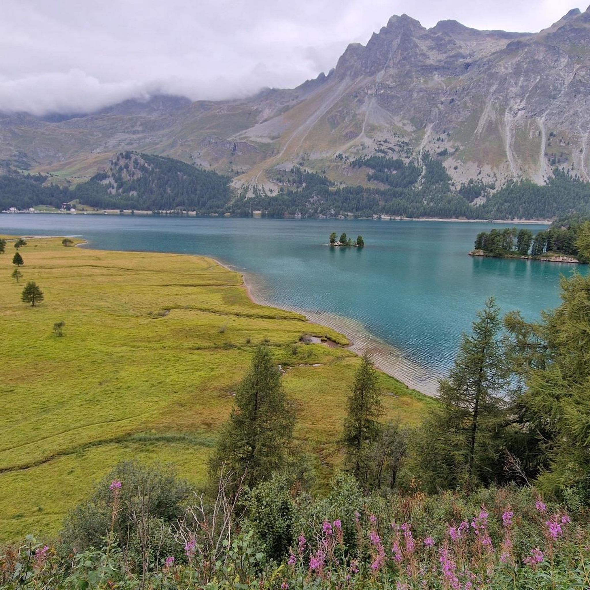
Hiking around Lake Sils offers diverse trails in the Upper Engadine valley of Graubünden, Switzerland. The region is characterized by the large Lake Sils, surrounded by expansive larch forests and towering mountains exceeding 3,000 meters. Features include the wooded Chastè peninsula, other mountain lakes like Lake Tscheppa, and the tranquil Val Fex. This landscape provides varied terrain for outdoor exploration.
Best hiking trails around Lake Sils
- The most popular hiking route is Piz Lunghin Summit Trail, a 6.9 miles (11.1 km) difficult trail that takes 5 hours 47 minutes to complete. This route features significant elevation gain towards a prominent summit.
- Another top favourite among local hikers is Piz da la Margna Trail, a difficult 9.7 miles (15.6 km) path. This trail ascends to another high peak, offering expansive alpine views.
- Local hikers also love the View of Lake Sils from Maloja – View of Lake Sils loop from Passo della Maloja - Malojapass 1815 m, a 6.1 miles (9.8 km) trail leading through varied terrain with lake views, often completed in about 2 hours 38 minutes.
- Hiking around Lake Sils is defined by serene waters, majestic mountains, and picturesque larch forests. The network offers options for different ability levels, from lakeside paths to challenging summit ascents.
- The routes in Lake Sils are highly rated by the komoot community with an average score of 4.6 stars from over 500 reviews. More than 5,000 hikers have used komoot to explore Lake Sils's varied terrain.
Last updated: October 10, 2026
4.8
(70)
432
hikers
11.1km
05:47
910m
910m
Hike the challenging Piz Lunghin from Maloggia for panoramic views, Lake Lunghin, and Europe's triple watershed.
5.0
(4)
73
hikers
15.6km
09:46
1,310m
1,310m
Hike the difficult Piz da la Margna da Maloggia, a 9.7-mile alpine route with 4302 feet of gain and panoramic views of Engadin lakes.

4.6
(81)
572
hikers
Moderate hike. Good fitness required. Easily-accessible paths. Suitable for all skill levels.
4.8
(56)
320
hikers
18.0km
07:45
1,080m
1,080m
Hard hike. Very good fitness required. Mostly accessible paths. Sure-footedness required.
4.8
(52)
317
hikers
Moderate hike. Good fitness required. Mostly accessible paths. Sure-footedness required.
Get access to more routes and recommendations from other explorers.
Already have an account?
Our route recommendations are based on thousands of hikes, rides, and runs completed by other people on komoot.
Start today with a free account
Your next adventure awaits.
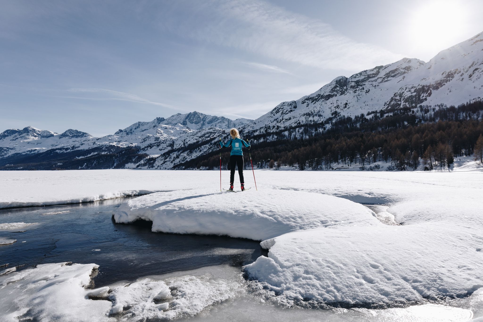
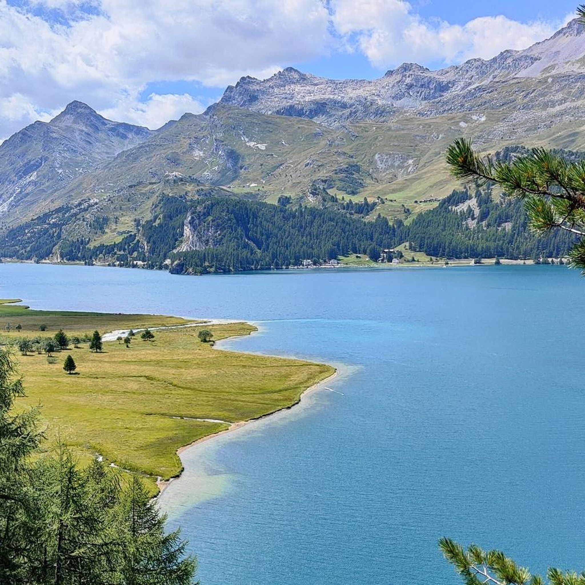
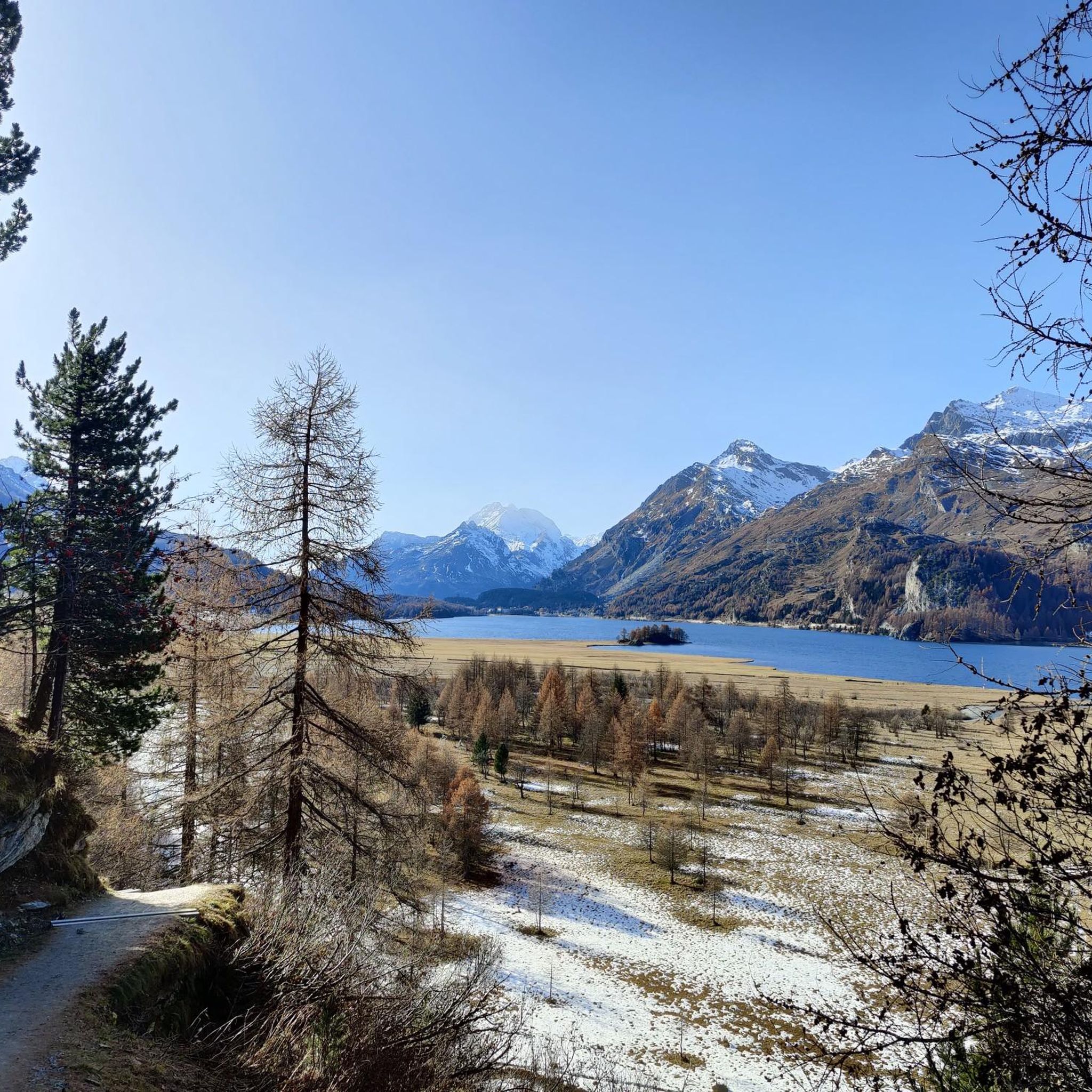
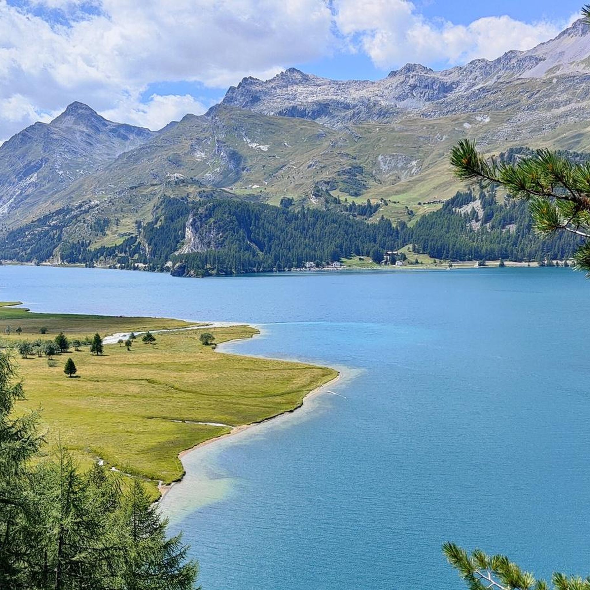


Other adventures around Lake Sils

Tips from the Community


Beautiful little lake, there is also a nice viewpoint with a bench!
0
0

It rolls well, it's fun ...
0
0

A triple watershed is indeed something quite rare. Besides, it's simply wonderfully lonely and beautifuuuul up here
0
0

There are a few spots here with beautiful, sometimes almost surreal views of the lake, its islands and the Isola peninsula.
0
0

From here, you have a wonderful view of the many larch trees in the delta, as well as the small islands in Lake Sils. The larches turn golden in the autumn, incredibly beautiful.
1
0
Frequently Asked Questions
How many hiking trails are available around Lake Sils?
There are over 20 hiking trails around Lake Sils, offering diverse options for various skill levels. The region features everything from easy lakeside paths to challenging summit ascents, with a total of 6 easy, 14 moderate, and 4 difficult routes.
What kind of natural features can I expect to see on hikes around Lake Sils?
Hiking around Lake Sils offers stunning natural features. You'll encounter the lake's waters, which shift from turquoise to emerald green, expansive larch forests that are particularly beautiful in autumn, and majestic mountains like Piz Corvatsch and Piz da la Margna. The wooded Chastè peninsula and other charming mountain lakes such as Lake Tscheppa also add to the scenic beauty.
Are there any easy or family-friendly walks around Lake Sils?
Yes, Lake Sils offers several easy and family-friendly options. The idyllic 16-kilometer route encircling the entire lake can be enjoyed in stages, leading through forests and across meadows. A particularly scenic section runs from Maloja to Sils via Isola. The car-free Val Fex also provides tranquil walks with a charming stream and small hamlets, ideal for a relaxed outing.
What are some notable landmarks or points of interest along the trails?
Along the trails, you can explore several points of interest. The Nietzsche Memorial Plaque on the Chastè Peninsula offers a historical touch. You can also visit the small village of Isola on a majestic delta, or the tranquil Val Fex. The Sils Maria boat dock is a point of interest where you can catch Europe's highest scheduled passenger boat service during summer months for a unique lake experience.
Are there any circular hiking routes around Lake Sils?
Yes, there are several circular routes. A popular option is the View of Lake Sils from Maloja – View of Lake Sils loop from Passo della Maloja - Malojapass 1815 m, a 9.8 km trail offering varied terrain and lake views. Another is the Lunghin Pass — Triple Watershed – View over Lake Sils loop from Lake Sils, which is a more challenging 18 km route with significant elevation gain.
What is the best time of year to go hiking around Lake Sils?
Lake Sils is beautiful year-round, but the best time for hiking is typically from late spring to autumn. In autumn, the larch forests turn golden, offering a spectacular sight. During summer (late June to September/October), the lake boat service operates, providing a unique way to combine hiking with a scenic cruise. Winter offers opportunities for walking on the frozen lake and cross-country skiing, transforming the landscape into a snow-covered wonderland.
What do other hikers enjoy most about the trails in Lake Sils?
The trails around Lake Sils are highly rated by the komoot community, with an average score of 4.6 stars from over 500 reviews. Hikers often praise the serene waters, majestic mountain backdrops, and the picturesque larch forests. The diverse terrain, from lakeside paths to challenging summit ascents, is also frequently highlighted as a major draw.
Can I reach hiking trails around Lake Sils using public transport?
Yes, public transport is a convenient way to access many hiking trails around Lake Sils. The region is well-connected, and you can often find bus services that take you to various starting points, such as Sils Maria or Maloja, allowing you to enjoy linear hikes or reach trailheads without needing a car.
Are there any challenging hikes for experienced hikers?
Absolutely. For experienced hikers seeking a challenge, the Lake Sils area offers demanding routes with significant elevation gain. The Piz da la Margna Trail is a difficult 15.6 km path ascending to a high peak with expansive alpine views. These trails provide a rewarding experience for those looking for strenuous ascents and panoramic vistas.
Are there any less crowded hiking options around Lake Sils?
For a quieter experience, consider exploring the car-free Val Fex, accessible from Sils. This tranquil Alpine valley offers beautiful walks away from the main thoroughfares, with a charming stream and small hamlets. While the main lake circuit is popular, exploring its stages or venturing into valleys like Val Fex can provide a more serene hiking experience.
What is the highest point I can reach on a hike in the Lake Sils area?
You can reach significant altitudes on hikes in the Lake Sils area. For example, the Piz Lunghin Summit Trail is a difficult 11.1 km route that features substantial elevation gain towards a prominent summit, offering breathtaking views from high above the valley.
Are there any specific trails that offer great views of Lake Sils?
Many trails offer spectacular views of Lake Sils. The 16-kilometer route encircling the lake provides continuous changing perspectives of its stunning waters and the surrounding landscape. The section from Maloja to Sils via Isola is particularly scenic, offering varying views of the Chastè peninsula and the Chaviolas islands. Additionally, the Grevasalvas Mountain Village – View over Lake Sils loop from Lake Sils offers excellent vantage points.
Most popular routes around Lake Sils
Most popular attractions around Lake Sils

Get inspired with the komoot mobile app


Explore more
Browse the best Hikes in other regions.
