The best hikes from bus stations around Lake Sils
4.7
(2817)
23,056
hikers
211
hikes
Hiking around Lake Sils offers access to a diverse landscape in the Upper Engadine valley of Switzerland. The region is characterized by crystal-clear waters, extensive larch forests, and towering mountains exceeding 3,000 meters, including Piz Corvatsch and Piz da la Margna. Trails often traverse alpine meadows, pass by smaller mountain lakes, and provide views of glaciers and waterfalls. The area also features the tranquil Val Fex, a car-free side valley, and the wooded Chastè peninsula extending into the lake.
Best…
Last updated: July 12, 2026
4.8
(77)
636
hikers
16.5km
04:45
350m
350m
Moderate hike. Good fitness required. Mostly accessible paths. Sure-footedness required.
4.9
(61)
308
hikers
Moderate hike. Good fitness required. Mostly accessible paths. Sure-footedness required.

Sign up for free
4.8
(53)
312
hikers
18.0km
07:45
1,080m
1,080m
Hard hike. Very good fitness required. Mostly accessible paths. Sure-footedness required.
4.8
(45)
301
hikers
11.8km
03:52
420m
420m
Moderate hike. Good fitness required. Mostly accessible paths. Sure-footedness required.
4.8
(67)
415
hikers
Moderate hike. Good fitness required. Mostly accessible paths. Sure-footedness required.
Get access to more routes and recommendations from other explorers.
Sign up for free
Already have an account?
Our route recommendations are based on thousands of hikes, rides, and runs completed by other people on komoot.
Start today with a free account
Your next adventure awaits.
Login or Signup
Popular around Lake Sils
Other adventures around Lake Sils

Tips from the Community

A triple watershed is indeed something quite rare. Besides, it's simply wonderfully lonely and beautifuuuul up here
0
0

Scenically very great tour. Top Top Top
0
0
Scenically very great tour. Top Top Top
0
0
Scenically very great tour. Top Top Top
0
0
Scenically a great tour. Top Top Top
0
0
Scenically a great tour. Top Top Top
0
0
Frequently Asked Questions
How many bus-accessible hiking trails are there around Lake Sils?
There are over 200 hiking routes around Lake Sils that are easily accessible by bus, offering a wide range of options for all skill levels. These include over 60 easy routes, 100 moderate routes, and nearly 50 difficult routes.
What kind of terrain can I expect on bus-accessible hikes near Lake Sils?
The bus-accessible trails around Lake Sils offer incredibly diverse terrain. You can expect to hike through extensive larch forests, along crystal-clear lake shores, across green alpine meadows, and ascend into mountainous backdrops with views of peaks exceeding 3,000 meters. Some routes also feature glaciers and waterfalls.
What is the best time of year for bus-accessible hiking around Lake Sils?
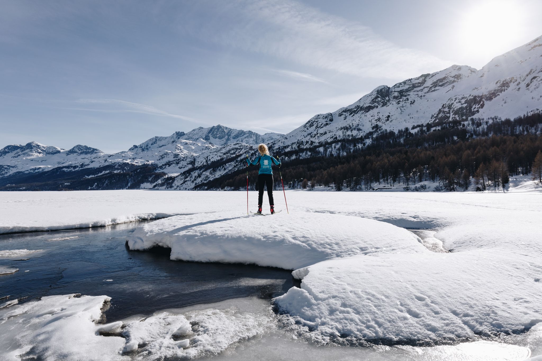
The best time for hiking around Lake Sils is typically from late spring to early autumn (May to October). In autumn, the larch forests turn a vibrant golden hue, offering spectacular scenery. During winter, the frozen lake transforms into a natural path for walking and cross-country skiing, with signposted routes available.
Are there easy, family-friendly hikes accessible by bus around Lake Sils?
Yes, Lake Sils offers many easy and family-friendly routes accessible by bus. The lakeside trails, such as parts of the 16-kilometer path encircling the lake, are generally less strenuous. For example, the Trail to Alp da Segl – Alp Muot Selvas loop from Sils im Engadin is a moderate option that can be adapted for families, offering beautiful views without extreme elevation.
Are there more challenging bus-accessible hikes for experienced hikers?
Absolutely. For experienced hikers seeking a challenge, routes like the Lunghin Pass — Triple Watershed – View over Lake Sils loop from Lake Sils offer significant elevation gain and expansive alpine views. Piz Lunghin is notable as Europe's triple watershed, providing a rewarding experience.
Can I find circular hiking routes that start and end at a bus station?
Yes, many bus-accessible routes around Lake Sils are circular, allowing you to start and finish at the same bus stop. Examples include the View of Lake Sils – Blaunca alpine summer homestead loop from Sils im Engadin and the Grevasalvas Mountain Village – View over Lake Sils loop from Passo della Maloja - Malojapass 1815 m, both offering stunning scenery.
Are bus-accessible trails around Lake Sils suitable for hiking with dogs?
Many trails around Lake Sils are dog-friendly, allowing you to enjoy the stunning scenery with your canine companion. It's always recommended to keep dogs on a leash, especially in areas with livestock or wildlife, and to check local regulations for specific routes. Remember to carry water for your dog and clean up after them.
What natural features or scenic viewpoints can I discover on bus-accessible hikes?
Bus-accessible hikes offer access to numerous natural wonders. You can explore the wooded Chastè Peninsula, enjoy views of the Chaviolas Islands, or venture into the serene, car-free Val Fex. Many routes provide panoramic views of the Upper Engadine lake landscape, with the crystal-clear waters of Lake Sils changing from turquoise to emerald green.
Are there any cultural or historical points of interest along bus-accessible routes?
Yes, the region has cultural significance. The Chastè Peninsula features a memorial plaque dedicated to philosopher Friedrich Nietzsche, who found inspiration in Sils Maria. The idyllic village of Grevasalvas, accessible via routes like the Grevasalvas Mountain Village – View over Lake Sils loop from Lake Sils, also offers a glimpse into traditional alpine life.
Are there places to eat or drink near bus stops along the hiking routes?
Yes, several villages and hamlets along the bus routes, such as Sils Maria, Maloja, and Isola, offer cafes, restaurants, and guesthouses where you can refuel. These spots are often conveniently located near bus stops, making it easy to combine your hike with a refreshing break.
What do other hikers say about the bus-accessible trails around Lake Sils?
The bus-accessible trails around Lake Sils are highly rated by the komoot community, with an average score of 4.65 stars. Hikers frequently praise the stunning panoramic views, the well-maintained paths, the tranquility of the larch forests, and the convenience of public transport access to diverse trailheads.
Can I combine a bus-accessible hike with a boat trip on Lake Sils?
Absolutely! During the summer months, Europe's highest scheduled boat service operates on Lake Sils, connecting Sils Maria, Chastè, Plaun da Lej, and Maloja. You can easily combine a hike along the lakeside trails with a scenic boat trip, using the bus to reach different starting or ending points.
Most popular routes around Lake Sils
Most popular attractions around Lake Sils

Get inspired with the komoot mobile app


Explore more
Browse the best Hikes in other regions.
